|
 Dwight
Peck's farm photos Dwight
Peck's farm photos
Farms
of the Jura in winter
The
Jura mountains run in a southwest-northeast direction along the border between
France and Switzerland, from Geneva (Genève) to Basel (Bâle), holding at about
1300-1400 meters altitude (4350-4500 feet), and peaking in the range of 1650 meters
(5450 feet). These photos of high alpage farms in winter are mainly from the southwestern
end of that range, between the cities of Geneva and Vallorbe.

Mont
Bally (or Bailly)

Dr Pirri
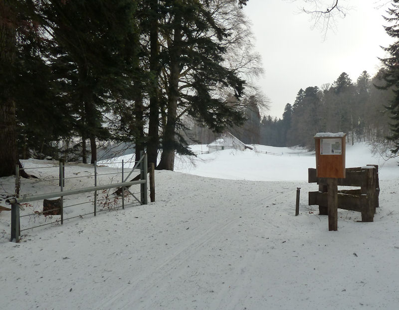
approaches the farm on Mont Bally (1057m) across the ski de fond track that comes
out from La St George, 22 January 2006.

Dr
Pirri takes his seat and waits for the show to begin.

Dr Pirri
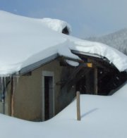
appears oblivious to the six-foot cornice looming out over his head.

Mont
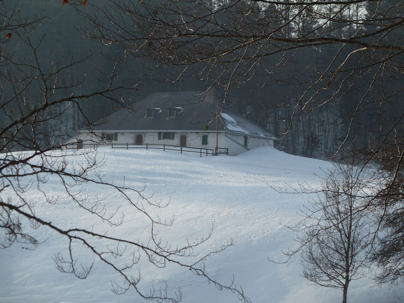
Bally farm looking northward


Mont
Bally looking southward, 22 January 2006

from SwitzerlandMobility (http://map.schweizmobil.ch/?lang=en)

The farm at Mont Bailly (shown on most maps as Mont Bally) -- it's part of Mont Chaubert but got its own name when it was the property of the bailiffs of Berne when they ruled the Lake Geneva region of Vaud. After the Vaudoise revolution of 1798, these meadows became the property of the city of Lausanne and were only got back by the town of Gimel in February 2007.

11 February 2012

One of the cross-country ski (ski du fond) tracks from La St George runs right past the farm and around Mont Chaubert nearby.

The farm on Mont Bailly (1057m), 23 November 2013


November 2013
 Feedback
and suggestions are welcome if positive, resented if negative, Feedback
and suggestions are welcome if positive, resented if negative,  .
All rights reserved, all wrongs avenged. Posted 19 February 2006, revised 18 March 2012, 13 December 2013, 19 January 2020. .
All rights reserved, all wrongs avenged. Posted 19 February 2006, revised 18 March 2012, 13 December 2013, 19 January 2020.
|
 Dwight
Peck's farm photos


