|
 Dwight
Peck's farm photos Dwight
Peck's farm photos
Farms
of the Jura in winter
The
Jura mountains run in a southwest-northeast direction along the border between
France and Switzerland, from Geneva (Genève) to Basel (Bâle), holding at about
1300-1400 meters altitude (4350-4500 feet), and peaking in the range of 1650 meters
(5450 feet). These photos of high alpage farms in winter are mainly from the southwestern
end of that range, between the cities of Geneva and Vallorbe.

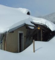
Chalet
de Yens

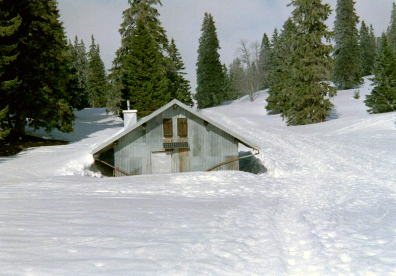
The Chalet
de Yens, which sells fresh goat cheese to hikers in the summer, lies at 1589 meters
altitude and is the staging point for the last walk up to the summit of Mont Tendre,
which in winter is normally rather iced over by strong winds from the west and
presents several fine, large cornices before one reaches the summit ridge. (19
March 2000)

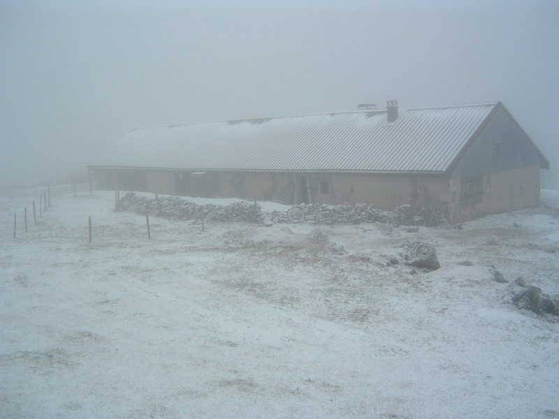
Foggy late afternoon, 19 January 2003
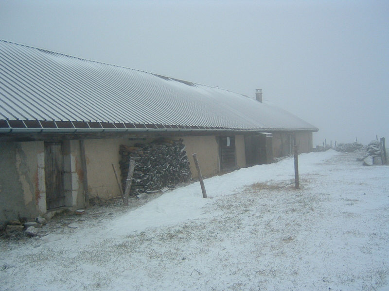
Another foggy afternoon at the
Chalet de Yens, 14 December 2004.
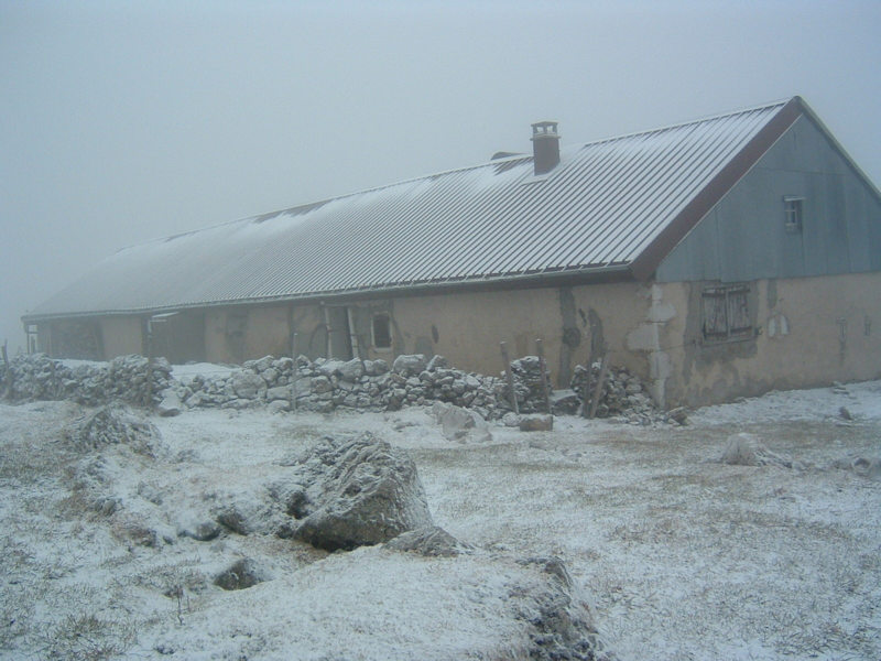
Setting off on the long plod back to Marchairuz
Chalet
de Yens from the northeast, 13 March 2005
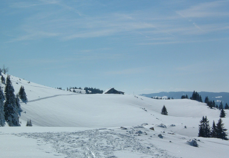
The Cabane
du Servan at 1555m just SW of the Chalet de Yens on the Chemin des Crêtes transjurassien
hiking trail between the Cols of Marchairuz and Mollendruz. (19 March 2000)


Sunset,
January 1997
 Feedback
and suggestions are welcome if positive, resented if negative, Feedback
and suggestions are welcome if positive, resented if negative,  .
All rights reserved, all wrongs avenged. Posted 15 March 2001, most recently updated
11 January 2006, 18 January 2020. .
All rights reserved, all wrongs avenged. Posted 15 March 2001, most recently updated
11 January 2006, 18 January 2020.
|


