|
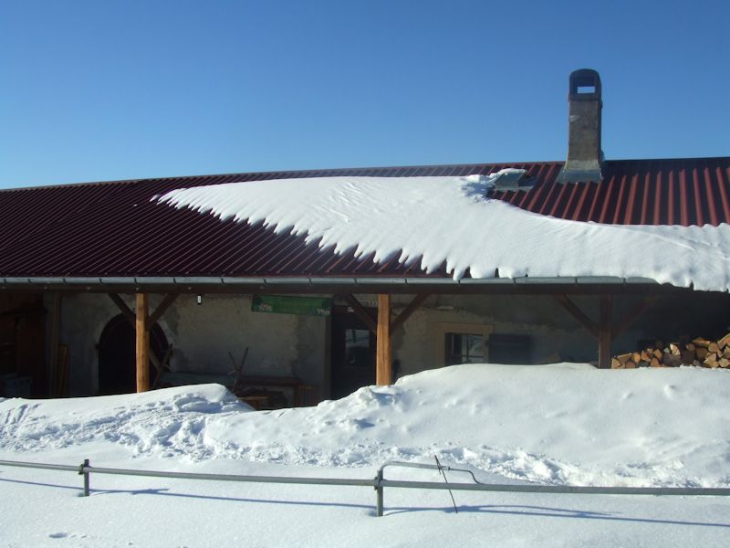
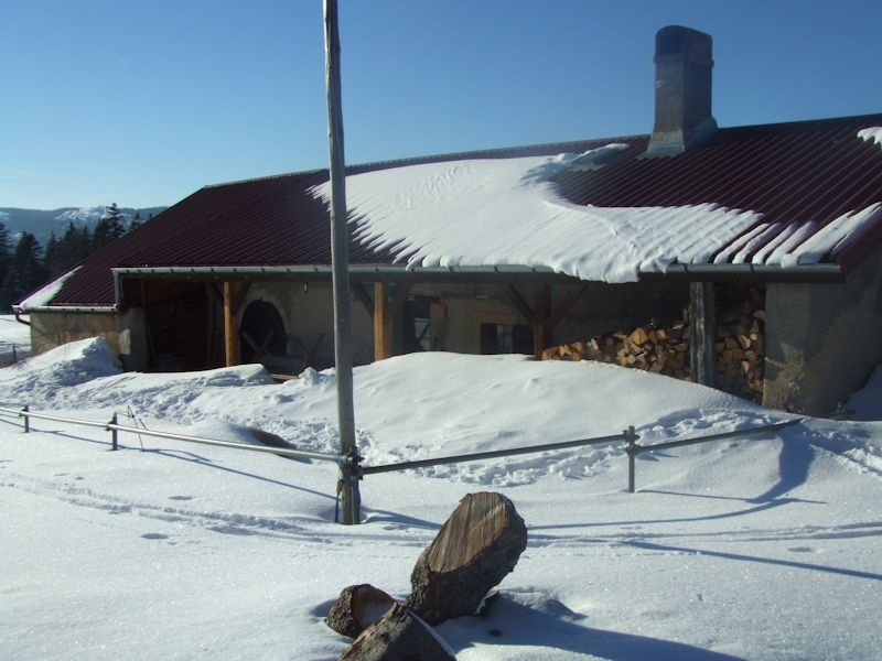
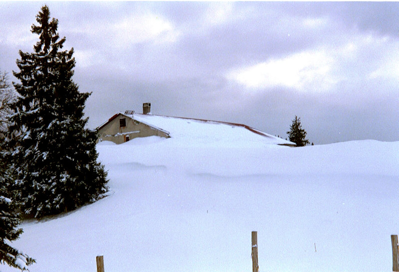
Farms of the Jura in winter The Jura mountains run in a southwest-northeast direction along the border between France and Switzerland, from Geneva (Genève) to Basel (Bâle), holding at about 1300-1400 meters altitude (4350-4500 feet), and peaking in the range of 1650 meters (5450 feet). These photos of high alpage farms in winter are mainly from the southwestern end of that range, between the cities of Geneva and Vallorbe. Perroude du Vaud
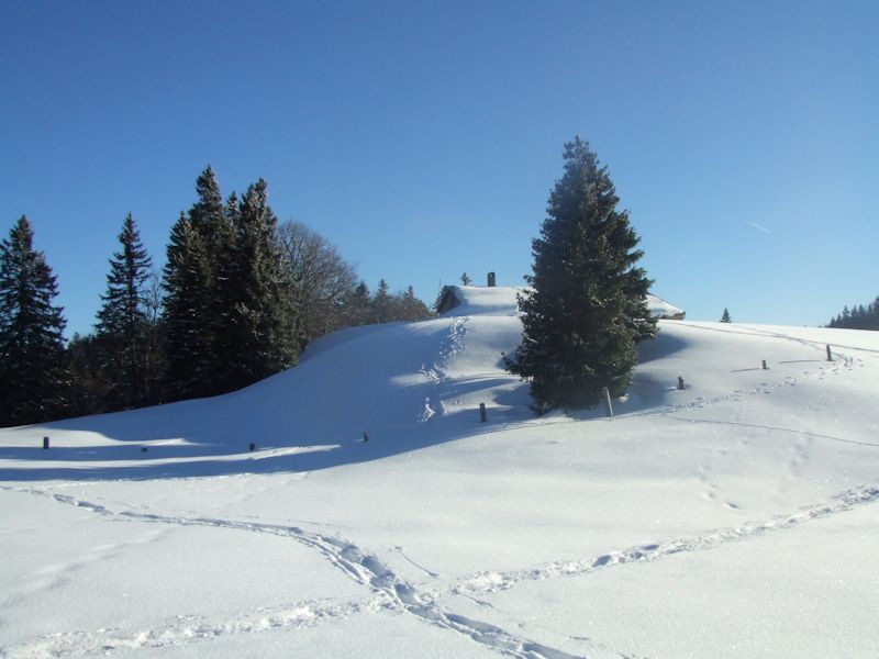
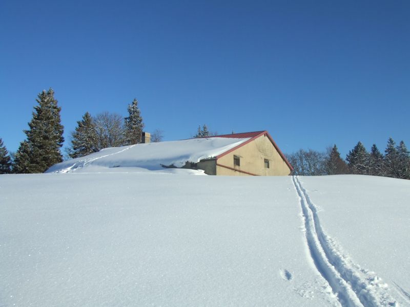
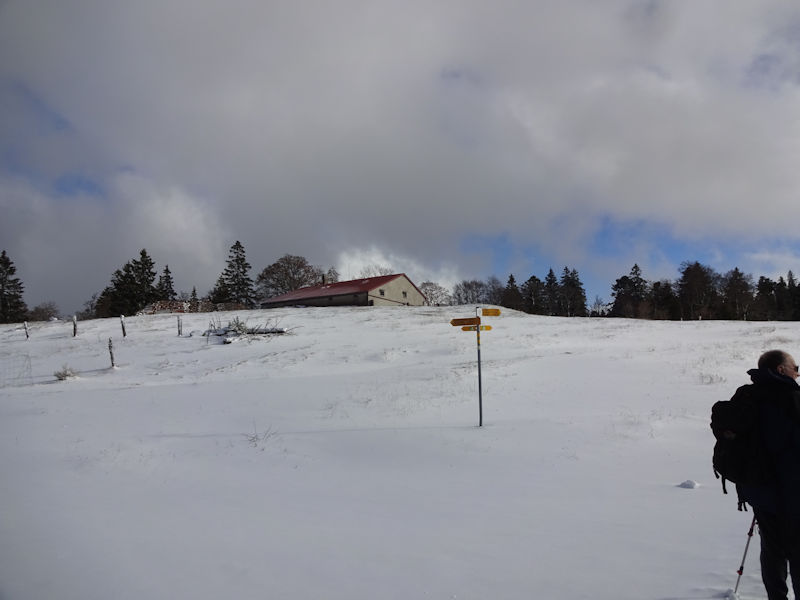
We're here on a brisk sunny February day in 2006, following somebody's ski trail.
There's somebody in there right now, in fact; we can smell dinner cooking, delicious.
Those are footprints up the roof to the chimney.
Viewed near sundown on a stormy day, 28 January 2001
More photos of the limestones holes nearby
from SwitzerlandMobility (http://map.schweizmobil.ch/?lang=en)
|


Farms of the Jura in winter
|
More farms of the Jura
|


