|
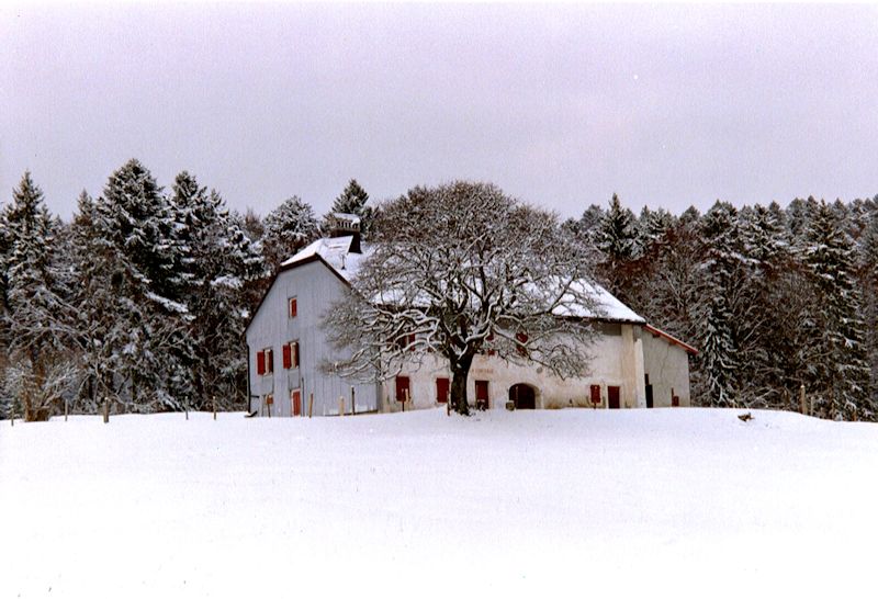
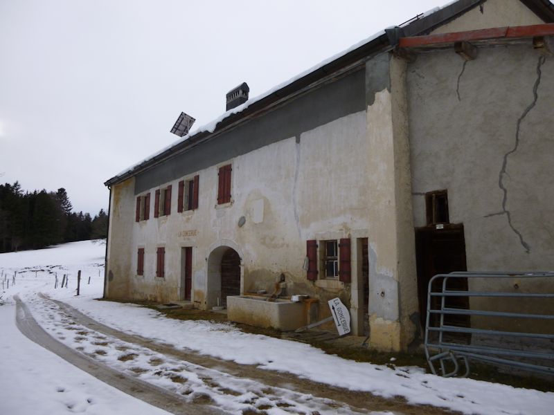
Farms of the Jura in winter The Jura mountains run in a southwest-northeast direction along the border between France and Switzerland, from Geneva (Genève) to Basel (Bâle), holding at about 1300-1400 meters altitude (4350-4500 feet), and peaking in the range of 1650 meters (5450 feet). These photos of high alpage farms in winter are mainly from the southwestern end of that range, between the cities of Geneva and Vallorbe. La Goncerue
January 2003
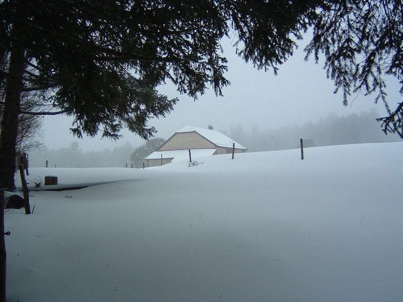
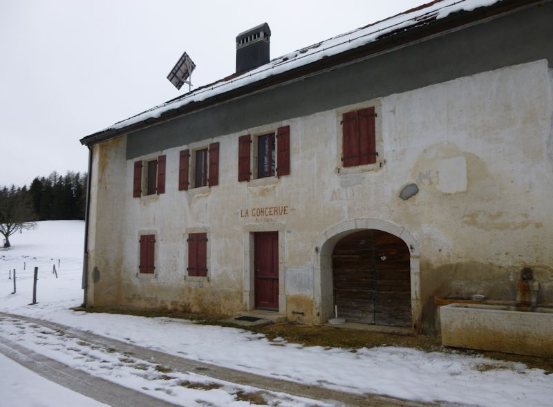
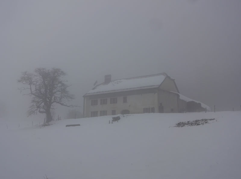
Approaching Goncerue from out of the forests below, 13 February 2005.
13 February 2005
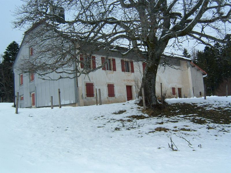
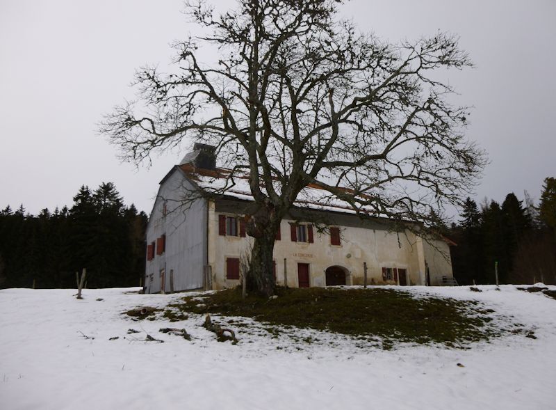
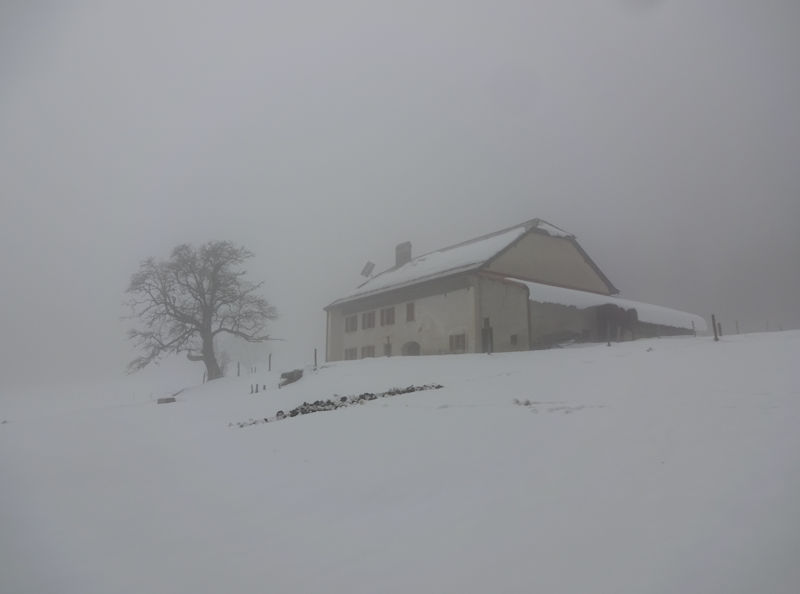
From the northeast, February 2005
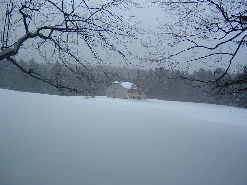
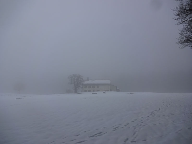
From the south, later in the day, 6 March 2005
from SwitzerlandMobility (http://map.schweizmobil.ch/?lang=en)
January 2014
|


Farms of the Jura in winter
|
More farms of the Jura
|


