|
 Dwight Peck's personal website Dwight Peck's personal website
Mont Bailly, and February 2012 hikes
We're carrying the snowshoes all over the Jura in case they might be needed.
You may not find this terribly rewarding unless you're included here, so this is a good time for casual and random browsers to turn back before they get too caught up in the sweep and majesty of the proceedings and can't let go.
Hike to Mont Bailly
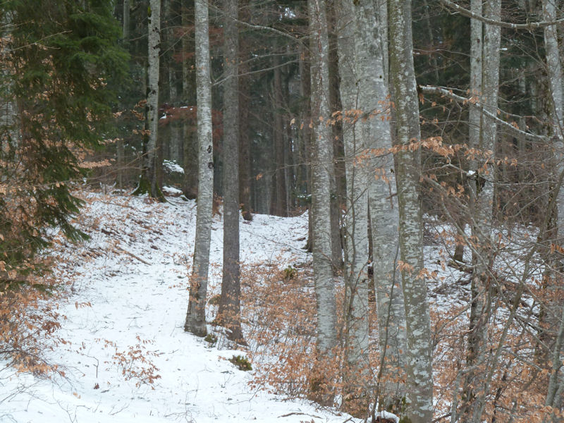
The European Cold Wave continues -- it's -10°C (14°F) but a little short on snow these days. We're going to explore the forests above Gimel and look in at Mont Bailly, 11 February 2012. The north wind, the bise, is fairly brutal and all the old trees are protesting loudly.
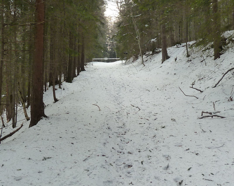
We're coming up on a Swiss military barrier across our track, but it's okay because we're already inside the zone and heading out of it.

The farm at Mont Bailly (shown, evidently wrongly, on most maps as Mont Bally) -- it's part of Mont Chaubert but got its own name when it was the property of the bailiffs of Berne when they ruled the Lake Geneva region of Vaud. After the Vaudoise revolution of 1798, these meadows became the property of the city of Lausanne and were only got back by the town of Gimel in February 2007.
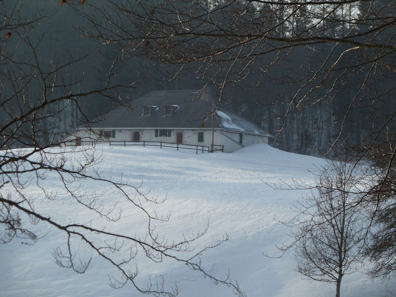
The farm of Mont Bailly at 1057m altitude
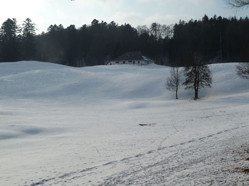

We're circling round it to get some poignant shots for our Farms of the Jura series.
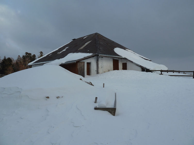
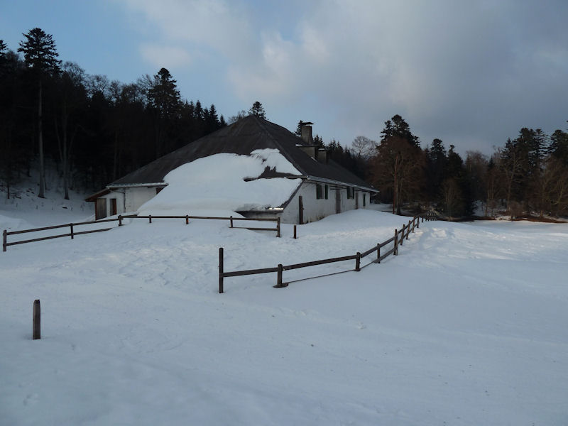
We're all the way round it now, and ready to go home.
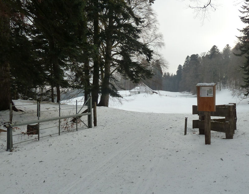
One of the cross-country ski (ski du fond) tracks from La St George runs right past the farm and around Mont Chaubert nearby, but we'll come back for that another day (i.e., tomorrow).
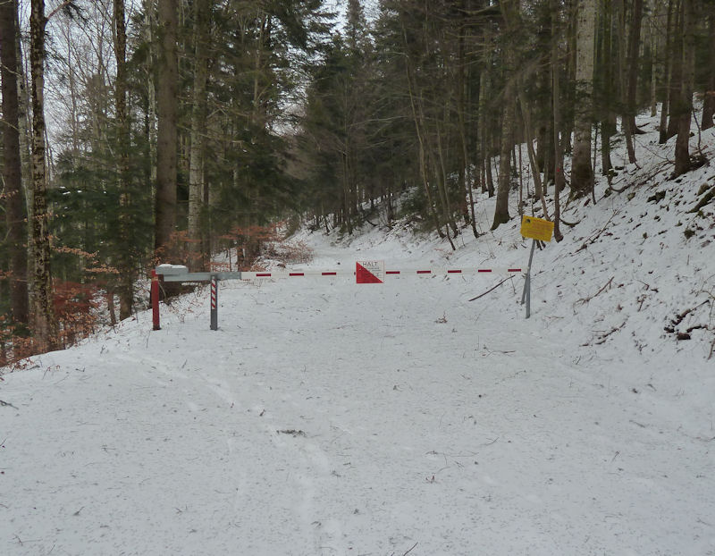
Another military barrier for the artillery training ground at Bière, but it's all right, they don't shoot on Sundays.
Back to Mont Bailly tout de suite

That, it turns out, was a Saturday, but now it's Sunday, so everything's cool.
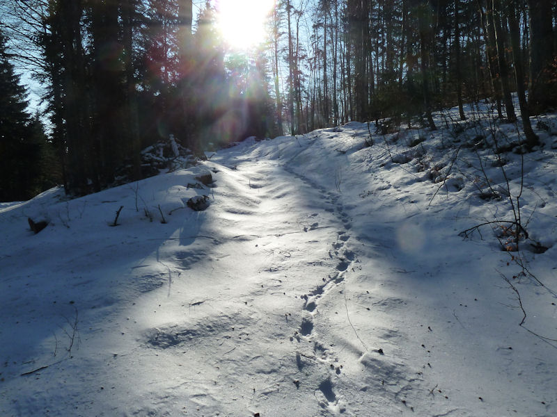
We're going to see Mont Chaubert today and basically just following the deer tracks. Today it's -8°C, so that's a little better than yesterday.
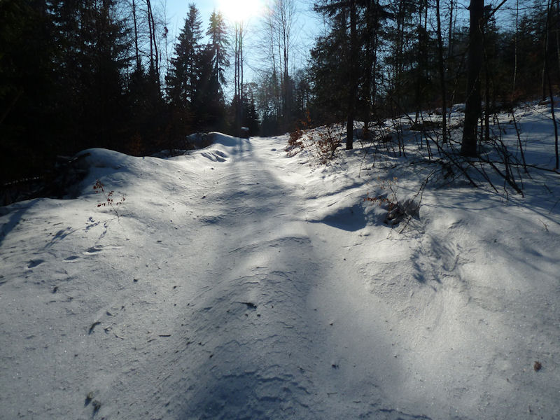
The deer went off somewhere else, god knows what they're finding to eat these days.
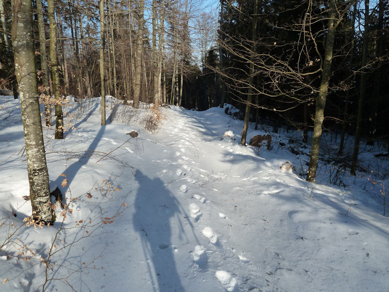
Fanatical snowshoers always carry their snowshoes along, even in summer, in case they might be needed.

This is a very beautiful track past the Mont Bailly farm towards Mont Chaubert on the far side.
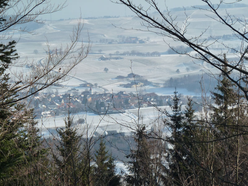
That's the village of Gimel down below. (I used to live there for three or four years, a long time ago, but when it was time to leave I couldn't think of anyone I needed to say goodbye to. That's not necessarily Gimel's fault.)

A peek at the Mont Bailly farm through the trees as we pass by it on the southeast
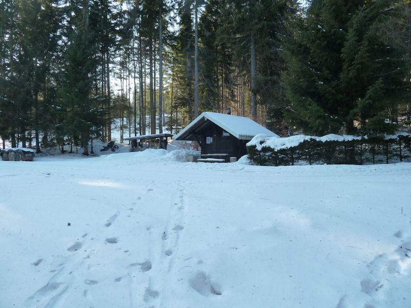
A forestry refuge near Mont Chaubert

The brilliant NatuRando signs explain it all. The farm was on this site from the great era of solid farm-building up here in the mid- to late-18th century, but it burnt in 1856 and wasn't rebuilt.

The present refuge for the bûcherons, or foresters, was built on the site of the farm in 1906 and now seems to be a sort of hub for the NatuRando informative walking trails above the village of St George.

It's chilly and the sun is sinking, and it's possible that we're lost.
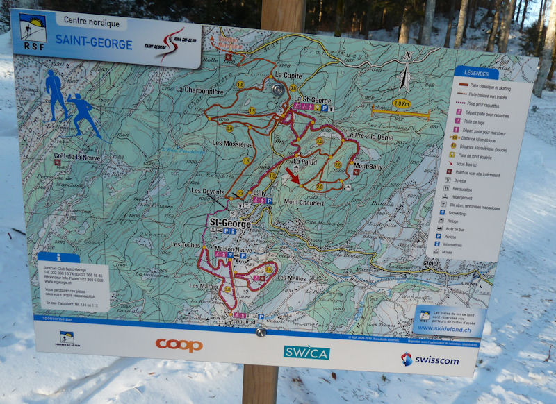
The ski du fond map shows us where we are (red arrow), and it's not where we thought we were.

Back down the trail along the ravine of Les Inversins, sped along by the track of someone who was here yesterday.
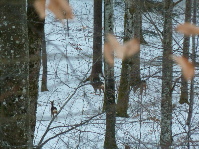
A family of our forest friends down in the ravine below us

We're spotted.
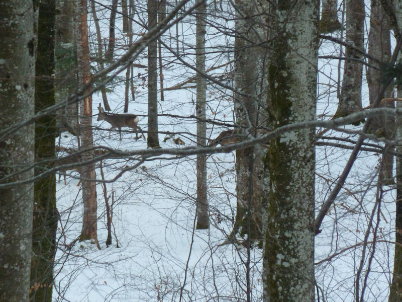
Off they go. Down into the military firing zone.

Warming up again at home. That's Kristin's new sofa that we had to saw in half to get it into the flat.
Féchy-Dessus
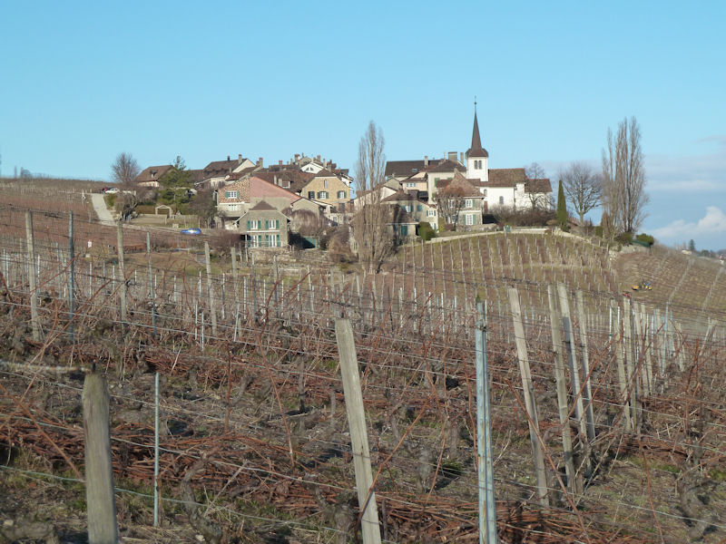
Kristin's back again and we're making a little walk round Féchy-Dessus. 16 February.

Those three dormer windows to the left of the tree -- that's our little attic flat. And lower Féchy beyond it, and the Geneva-Lausanne highway.
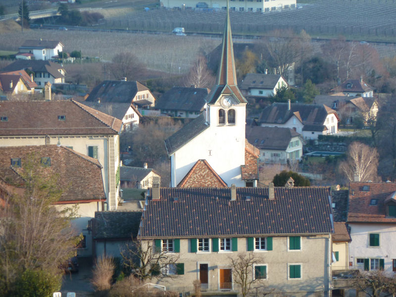
And that's our church (by "our church" I mean the church in our village, very beautiful).
Along the River Aubonne
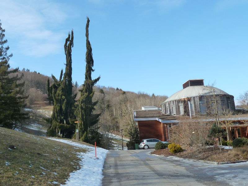
The Cold Wave is over, the snow is still gone, and we're walking up the nearby river Aubonne past the Wood Museum, the Arboretum.
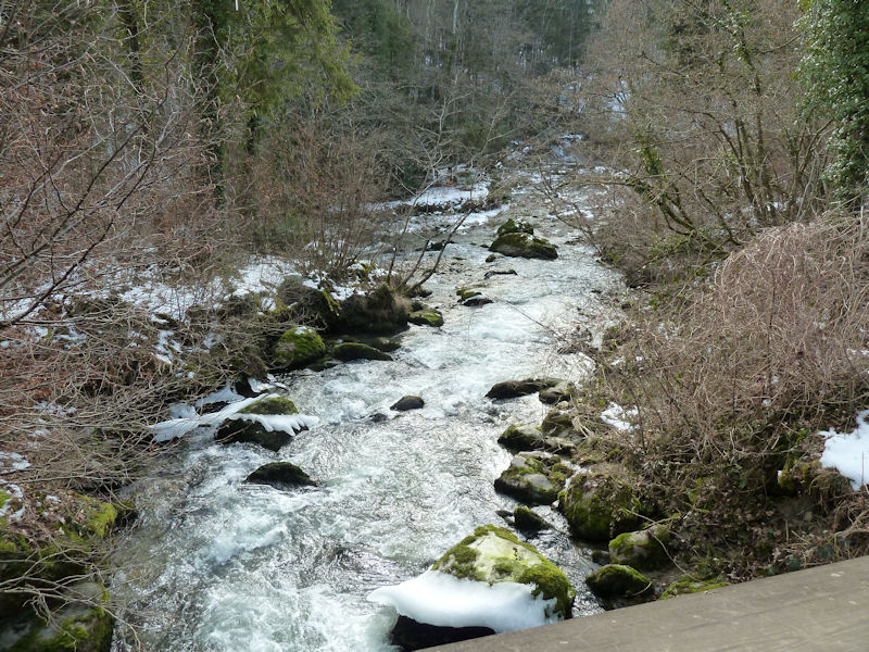
The confluence of the rivers Toleure and Aubonne, 17 February 2012.
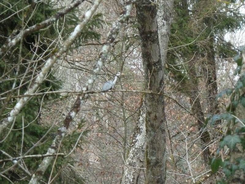
Kristin has spotted a furtive movement in the forest canopy.

It's Mr Heron, lost in thought and oblivious to his surroundings.
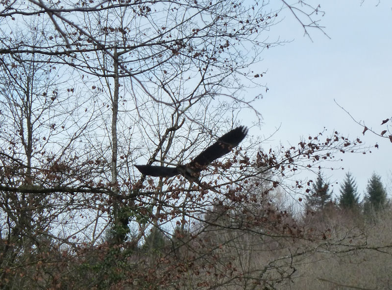
Oblivious no longer; Mr Heron snaps to attention and retreats upriver. That's usually good advice.
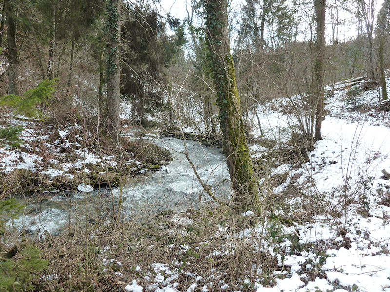
The mighty river Aubonne near the top end of it
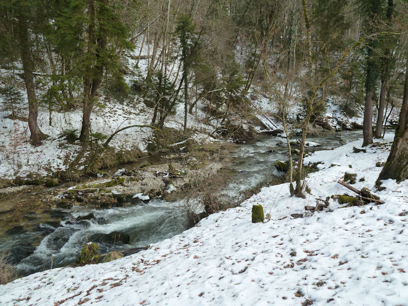
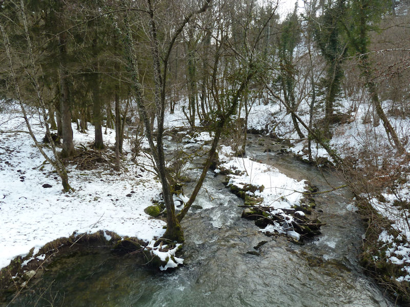
Aubonne views
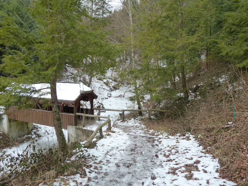
A covered bridge that's part of the Arboretum furnishings, just near the dam and small lake
La Foirausaz meadows
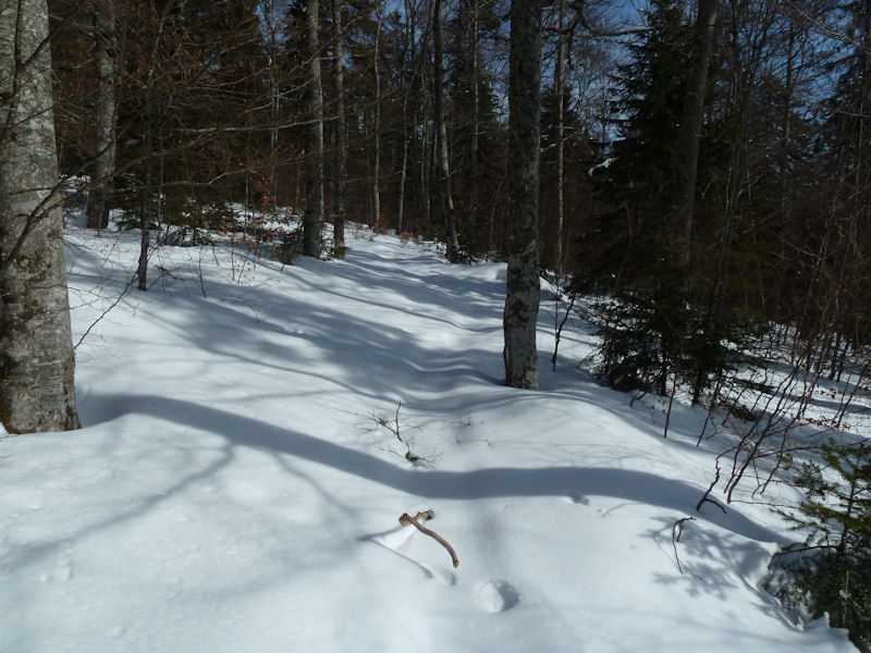
It's 18 February, a much warmer day than we've been used to, and one is out to try to find ancient unmarked tracks leading up to the Foirausaz meadows, okay so far, but thoroughly lost soon after.
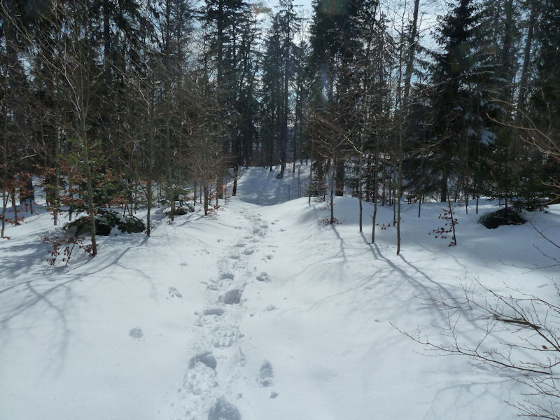
So far we are undeterred.

Our confidence has wavered, but it's such a lovely day.

There's no one out in the mountains at all these days, but then hey! My family doctor and his wife ski by, with the big dog. (I tried to get some advice on a few minor complaints, but he said it would be better if I were to come along to the office.)
Back to Mont Bailly with company
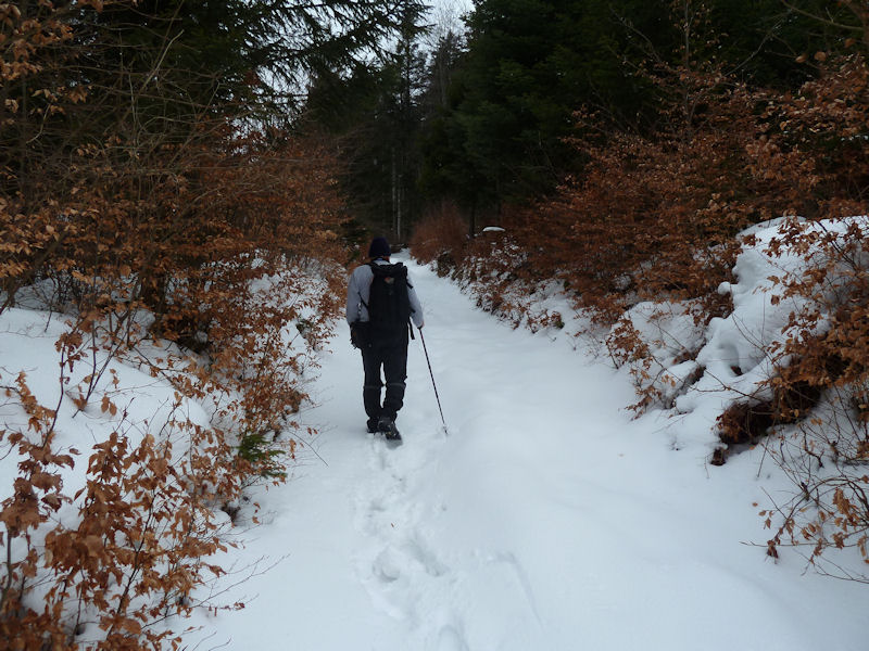
Dr Pirri, who's been very busy lately, has agreed to come out to Mont Bailly with us and explore the ravine of Les Inversins, 19 February.

We pass by Mont Bailly itself, to get him started properly on our project.
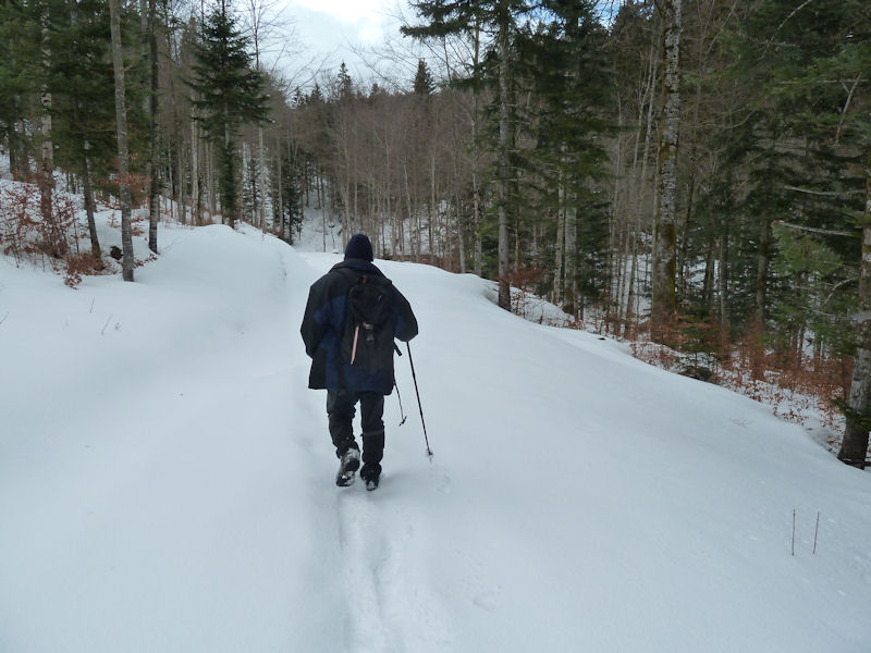
Now we've talked Dr Pirri into leading into the ravine of Les Inversins to see what we can find there.
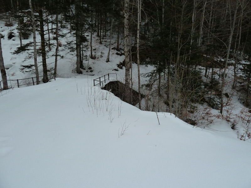
Here's a bridge -- we'll cross it.
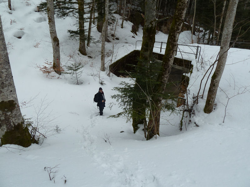
No, we'll go UNDER it.

We're following Dr Pirri's lead for a while, but we have the map.
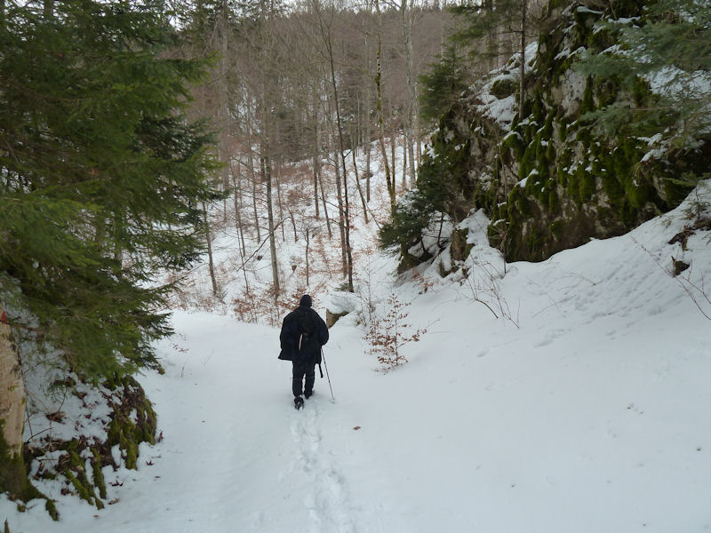
So far, so good.

Jump.
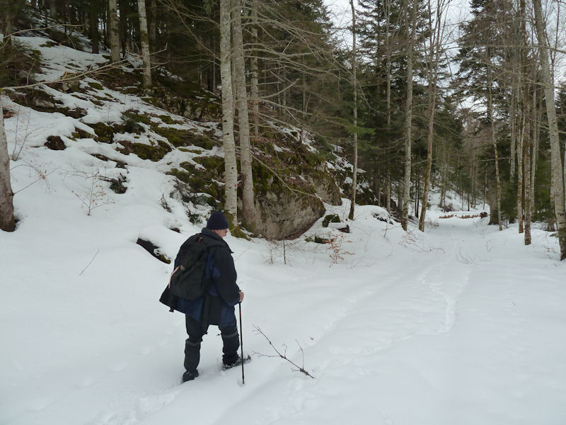

Professor Pirri's team
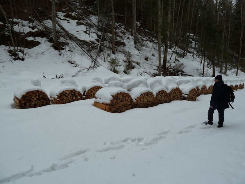
Rows of firewood bundles with their little snowy caps on
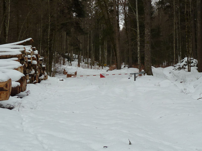
"Halt!" Oh shut up! It's Sunday.

The village of Bière from above, the largest place d'armes training ground in the country. I almost moved here many years ago until, whilst my then-girlfriend was negotiating with the landlady, I was standing on the balcony, admiring the view, and wondering idly why columns of tanks were lumbering up the high street.
 Feedback
and suggestions are welcome if positive, resented if negative, Feedback
and suggestions are welcome if positive, resented if negative,  .
All rights reserved, all wrongs avenged. Posted 17 March 2012. .
All rights reserved, all wrongs avenged. Posted 17 March 2012.
|
 Dwight Peck's personal website


