|
Farms of the Jura in winter The Jura mountains run in a southwest-northeast direction along the border between France and Switzerland, from Geneva (Genève) to Basel (Bâle), holding at about 1300-1400 meters altitude (4350-4500 feet), and peaking in the range of 1650 meters (5450 feet). These photos of high alpage farms in winter are mainly from the southwestern end of that range, between the cities of Geneva and Vallorbe.
Mont de Bière Devant
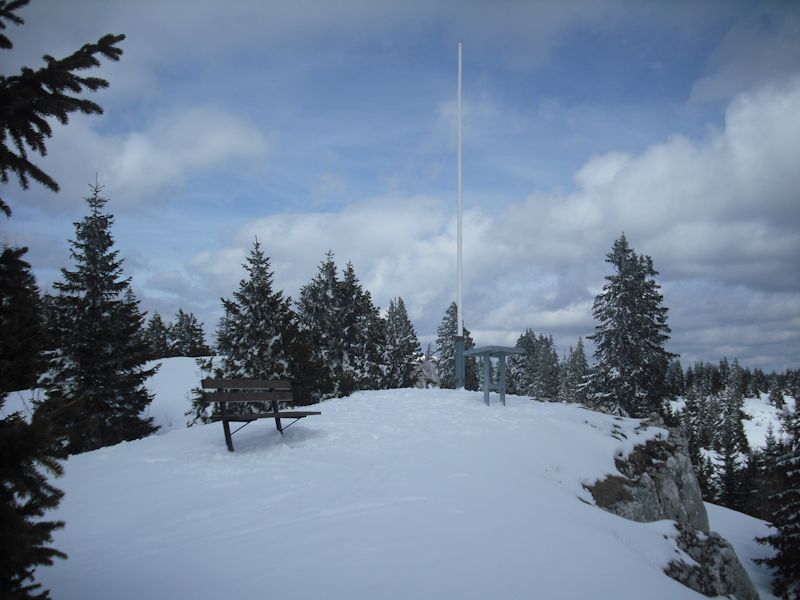
The flagpole near Mont de Bière Devant farm, 4 March 2000.
The flagpole just east of the farm building, 2 January 2004
The flagpole from the south, March 2004
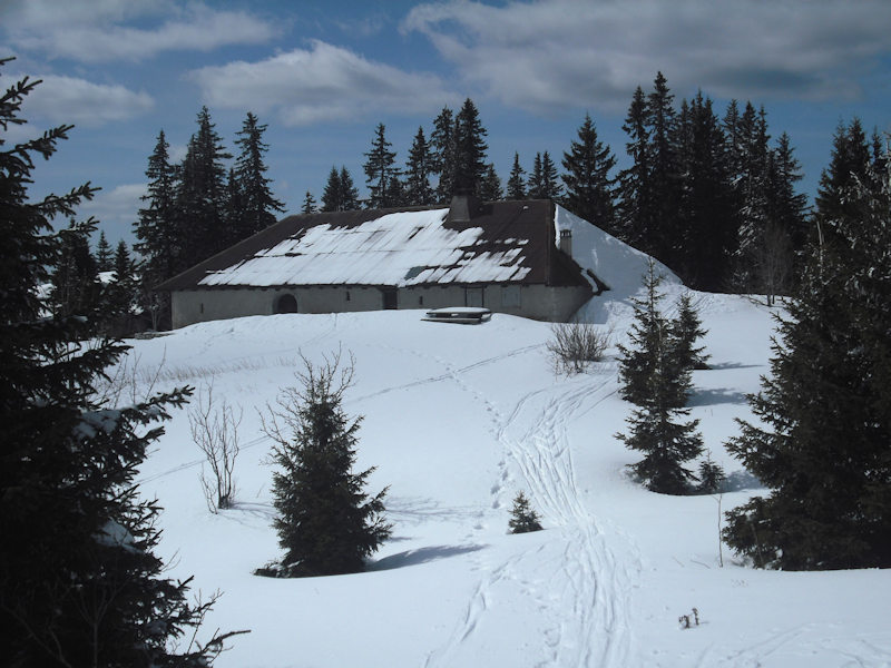
Seen from the little ridge behind the farm house
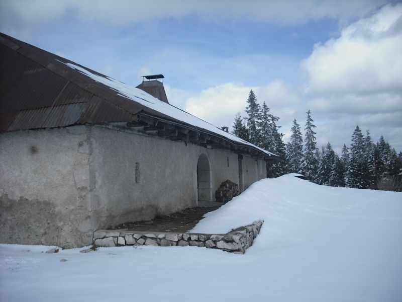
The farm at Mont de Bière Devant, 5 April 2010
Mont de Bière Devant
The view of Lausanne (behind the tree on the left) and the far end of Lake Geneva
A very fine bench and table d'orientation, added in 2009
The farm in a fleeting burst of sunlight, April 2010
from SwitzerlandMobility (http://map.schweizmobil.ch/?lang=en)
The flagpole near Mont de Bière Devant from the northeast, 16 February 2003
|


Farms of the Jura in winter
|
More farms of the Jura
|


