|
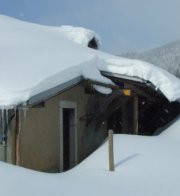
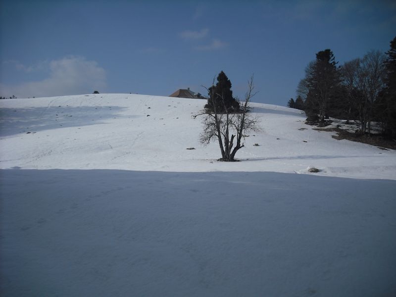
Farms of the Jura in winter The Jura mountains run in a southwest-northeast direction along the border between France and Switzerland, from Geneva (Genève) to Basel (Bâle), holding at about 1300-1400 meters altitude (4350-4500 feet), and peaking in the range of 1650 meters (5450 feet). These photos of high alpage farms in winter are mainly from the southwestern end of that range, between the cities of Geneva and Vallorbe.
Mont Roux
Mont Roux in the sunlight, 14 March 2010
The front of it, facing out over Lake Geneva to the southeast
A last grateful look at Mont Roux as we immerse ourselves in forests for half an hour or so Much deeper snow on Mont Roux, 1 February 2015
Viewed from the southwest
Mont Roux farm house Now we just need to get a few poignant photos from the other side. Dr Joe will wait for us.
A picture of patience and forbearance
Looks like significant winds and snow this year (I've been in southern France, out of the loop)
Lake Geneva below February 2015
from SwitzerlandMobility (http://map.schweizmobil.ch/?lang=en)
|
Farms of the Jura in winter |
More farms of the Jura |
 Dwight
Peck's farm photos


