|
 Dwight
Peck's farm photos Dwight
Peck's farm photos
Farms
of the Jura in winter
The
Jura mountains run in a southwest-northeast direction along the border between
France and Switzerland, from Geneva (Genève) to Basel (Bâle), holding at about
1300-1400 meters altitude (4350-4500 feet), and peaking in the range of 1650 meters
(5450 feet). These photos of high alpage farms in winter are mainly from the southwestern
end of that range, between the cities of Geneva and Vallorbe.

Chalet
de la Croix

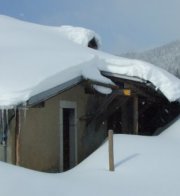
The Chalet de la Croix (1334m) sits on a little hilltop just off the forestry road up to the Réfuge de la Joratte, above the Vallée du Joux in western Switzerland.

Up the driveway, 9 February 2014

It's certainly a splendid location, especially on a sunny day.

In the interests of our farms series, we need to walk all round the building and photograph it from various angles. And verify that we've got the right one . . .

. . . because you never know when you might have taken a wrong turn by the Big Tree and fetched up four kilometres the other way.

Ah, good.

The Chalet de la Croix sits at 1334m out on a kind of promontory, with forest sliding off on three sides. On one of them, rather nasty forest, but that's not for today.

The southwest end of the Chalet de la Croix

The southeast side

9 February 2014

This is Dr Joe's first view of the Chalet de la Croix, tucked up into its little forest niche. And our second. 16 February 2014.

We're going off to the southeast.

from SwitzerlandMobility (http://map.schweizmobil.ch/?lang=en)

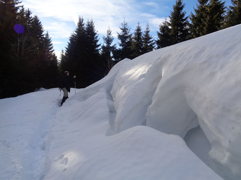
Approaching the Chalet de la Croix, 31 December 2017

Snow off the roof
 Feedback
and suggestions are welcome if positive, resented if negative, Feedback
and suggestions are welcome if positive, resented if negative,  .
All rights reserved, all wrongs avenged. Posted 20 April 2014, updated 8 March 2018, 19 January 2020. .
All rights reserved, all wrongs avenged. Posted 20 April 2014, updated 8 March 2018, 19 January 2020.
|
 Dwight
Peck's farm photos


