|
Farms of the Jura in winter The Jura mountains run in a southwest-northeast direction along the border between France and Switzerland, from Geneva (Genève) to Basel (Bâle), holding at about 1300-1400 meters altitude (4350-4500 feet), and peaking in the range of 1650 meters (5450 feet). These photos of high alpage farms in winter are mainly from the southwestern end of that range, between the cities of Geneva and Vallorbe. Le Planet
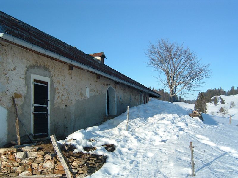
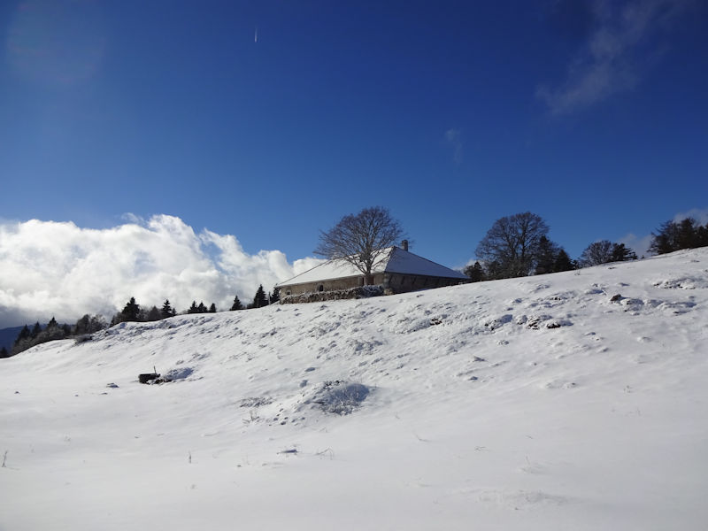
Le Planet (1364m), 5 February 2006.
A mere 20 minutes later we're huffing and puffing up to the old barn door.
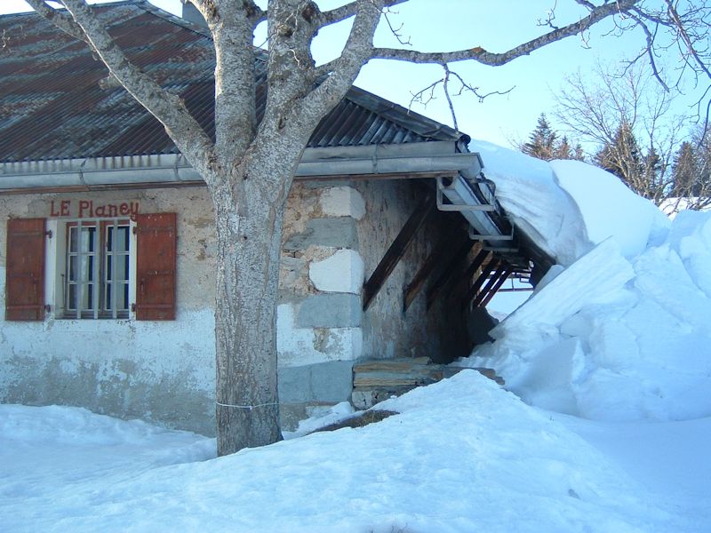
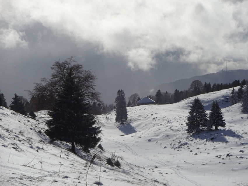
Le Planet, late afternoon, 5 February 2006
Spelt "Le Planey" here, mind you.
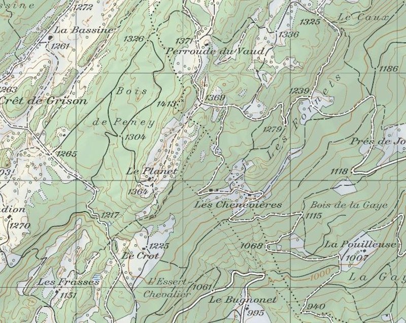
from SwitzerlandMobility (http://map.schweizmobil.ch/?lang=en)
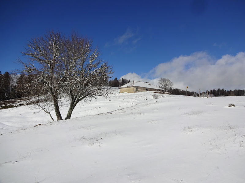
La Dôle in the distance, over the farm at Le Crot
|


Farms of the Jura in winter
|
More farms of the Jura
|


