|
 Dwight
Peck's farm photos Dwight
Peck's farm photos
Farms
of the Jura in winter
The
Jura mountains run in a southwest-northeast direction along the border between
France and Switzerland, from Geneva (Genève) to Basel (Bâle), holding at about
1300-1400 meters altitude (4350-4500 feet), and peaking in the range of 1650 meters
(5450 feet). These photos of high alpage farms in winter are mainly from the southwestern
end of that range, between the cities of Geneva and Vallorbe.
Eparçillon,
the well (citerne)

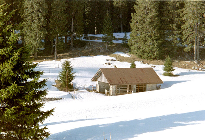
Sitting
at 1337 meters on the skinny Route de Montagne, at the intersection which leads
either to the Swiss Alpine Club cabane de Cunay or to the Pré de St. Livres, this
three-sided shed and cisterne frequently affords good parking in the 'tween-seasons
for walks upward in many directions. 10 March 2007.
For
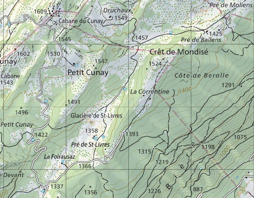
some reason, the name "Eparçillon" was
included in the Swiss 25k-scale map dated 1955, but is (although shown) not named
in the edition dated 2000 (as below). Now, according to local signposting, it's considered to be part of the alpage of La Foirausaz.
Marching past an 'unnamed spot' on snowshoes,
heading south-southwest, 18 February 2001.
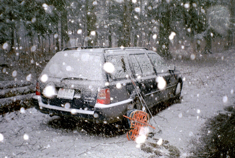
Returning
to one's automobile at the snowline on the Route des Montagnes, below the Eparçillon
citerne, February 2001.
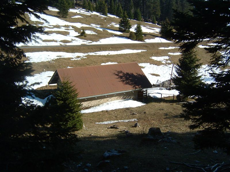
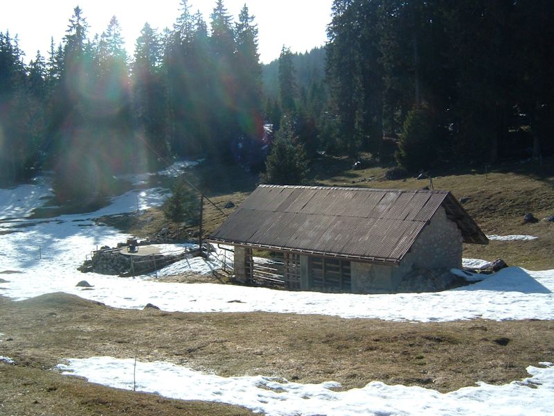
Nearly
snowless on 3 April 2005, from the northwest
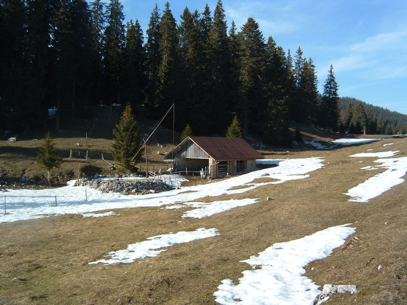
3
April 2005, from the northeast
And
from the southwest, on the Route des Montagnes

A
week later, 9 April 2005, and we're back in the soup again.


30
March 2008

 Feedback
and suggestions are welcome if positive, resented if negative, Feedback
and suggestions are welcome if positive, resented if negative,  .
All rights reserved, all wrongs avenged. Posted 2 March 2001, revised 17 April
2008, 12 January 2020. .
All rights reserved, all wrongs avenged. Posted 2 March 2001, revised 17 April
2008, 12 January 2020.
|
 Dwight
Peck's farm photos


