|
 Dwight
Peck's farm photos Dwight
Peck's farm photos
Farms
of the Jura in winter
The
Jura mountains run in a southwest-northeast direction along the border between
France and Switzerland, from Geneva (Genève) to Basel (Bâle), holding at about
1300-1400 meters altitude (4350-4500 feet), and peaking in the range of 1650 meters
(5450 feet). These photos of high alpage farms in winter are mainly from the southwestern
end of that range, between the cities of Geneva and Vallorbe.
Les
Frasses
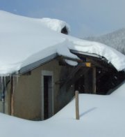
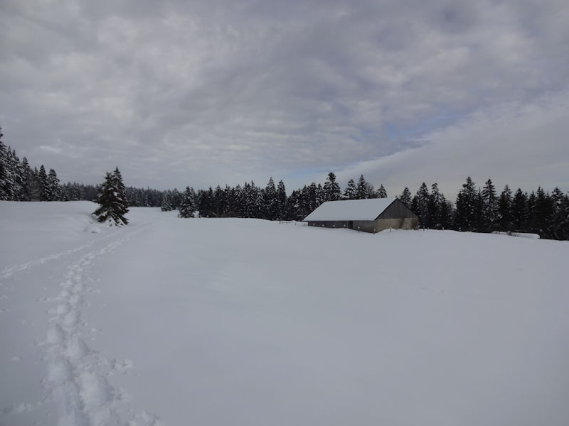
Les
Frasses farm on a blustery
cold day, 16 December 2000. Les Frasses lies at 1244 meters on the summer mountain
road leading from the village of Longirod up to the Crêt de la Neuve.

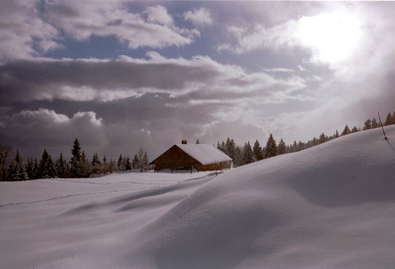
2 February 2003
February 2003, with Geneva in the background

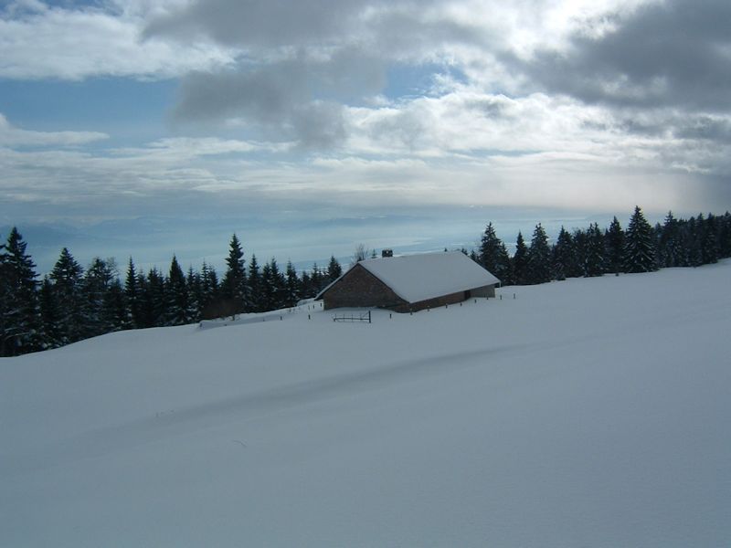
Les Frasses lies at
the foot of the 1300m wall that runs all along the Lake Geneva side of the Jura
mountains between Marchairuz and Le Planet overlooking St. Cergue. This is on
a grey 12 February 2006.


12
February 2006
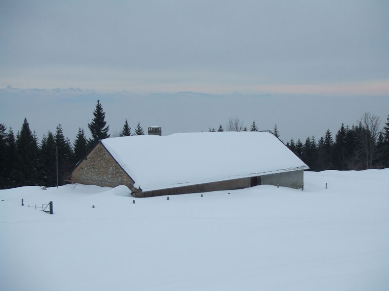

26 January 2014


from SwitzerlandMobility (http://map.schweizmobil.ch/?lang=en)
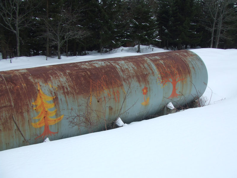
Fuel
tank at Les Frasses

11 February 2017

The name seems to have something to do with a place for harvesting ash trees; there's another of the same name above Bassins about 5km to the southwest.

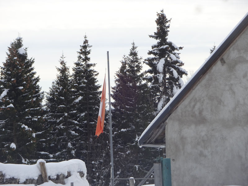
A badly worn Swiss national flag
 Feedback
and suggestions are welcome if positive, resented if negative, Feedback
and suggestions are welcome if positive, resented if negative,  .
All rights reserved, all wrongs avenged. Posted 26 February 2001, revised 12 October 2008, 22 March 2017, 14 January 2020. .
All rights reserved, all wrongs avenged. Posted 26 February 2001, revised 12 October 2008, 22 March 2017, 14 January 2020.
|


