|
 Dwight Peck's personal website Dwight Peck's personal website
Winter 2014-2015
Despite the Resurgence of the Pugs
You may not find this terribly rewarding unless you're included here, so this is a good time for casual and random browsers to turn back before they get too caught up in the sweep and majesty of the proceedings and can't let go.
The Ramsar Site of Les Grangettes
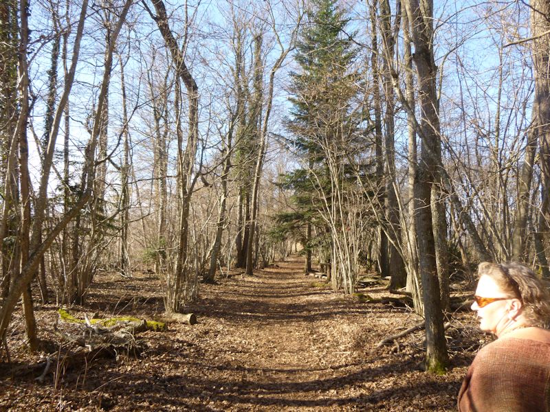
It's a beautiful sunny February day and we're in the protected wetland called Les Grangettes, one of Switzerland's eleven Ramsar Wetlands of International Importance.
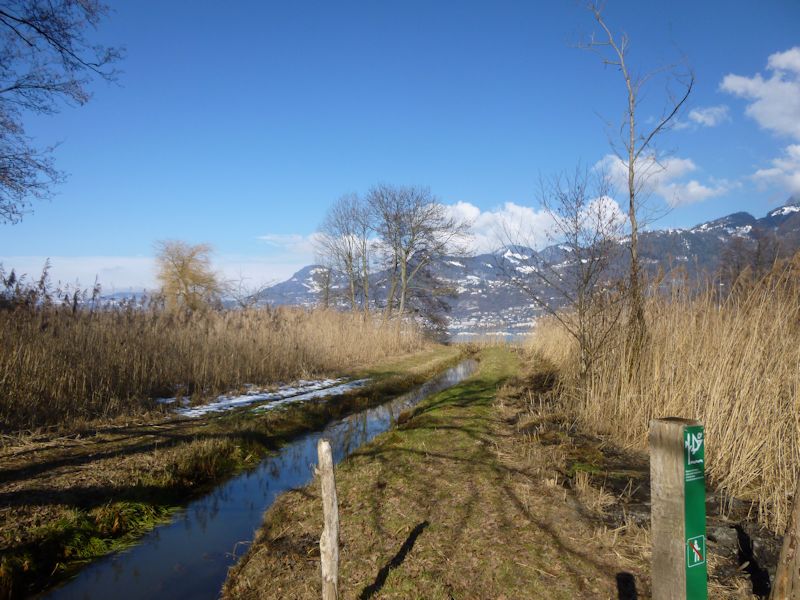
The site, listed chiefly for its support for migratory and native birds, lies along the eastern end of Lake Geneva (Lac Léman), a 6,342-hectare (almost 16,000 acres) length of shoreline, wet forest, and lake that stretches from the town of Villeneuve to the present mouth of the river Rhône.
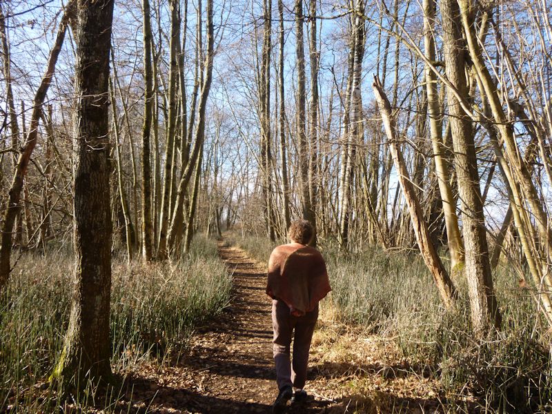
A trail along the lakeside, having just passed a birdwatching tower that was erected for the public in 2011.
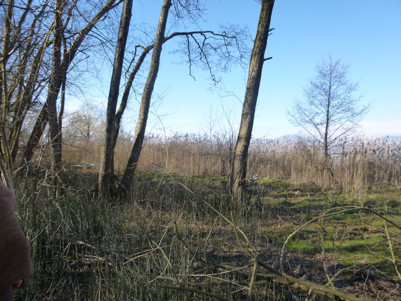
Good waterbird territory, but in February somewhat underpopulated.
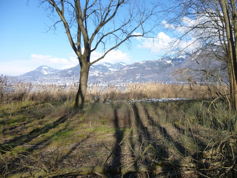
Wetland views
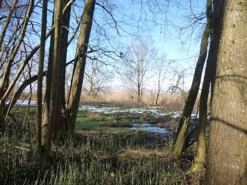
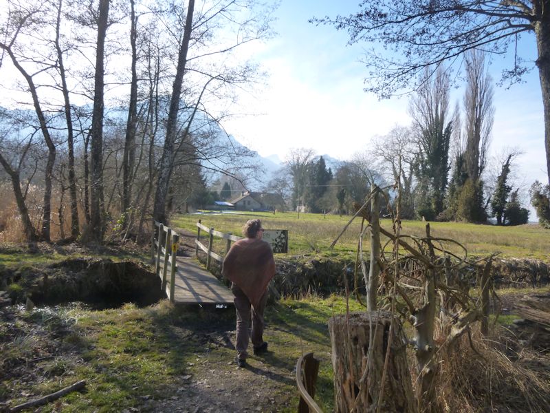
There are a few old farms within the protected area, some of them very old, as well as some summer cottages, a campground or caravan park, and a marina for pleasure boats around the mouth of the Old (unchanneled) Rhône.
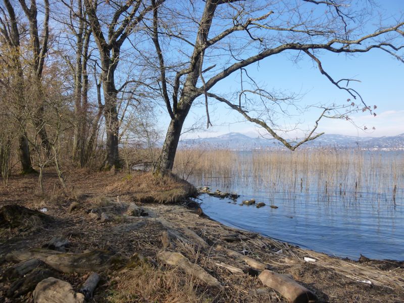
We're strolling today only as far as the mouth of the Grand Canal, about halfway along the shore within the protected site.
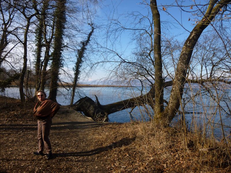
We're headed, in fact, out to the end of that jetty that's sticking out into the lake across the water, the mouth of the Grand Canal.
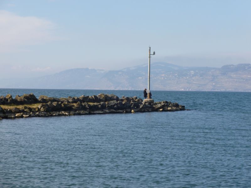
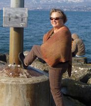
Kristin needs to have a photograph of herself with a foot on the light at the end of the jetty, for family reasons, so here we are.
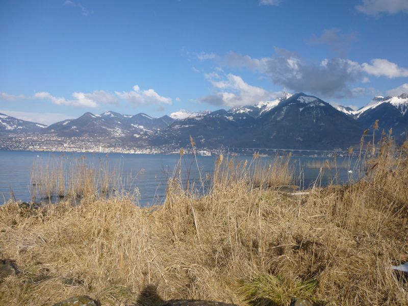
A view of Montreux across the end of the lake
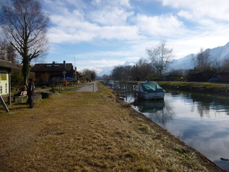
We've reached the Grand Canal, part of the 19th century draining and management of the Rhône delta for agriculture.
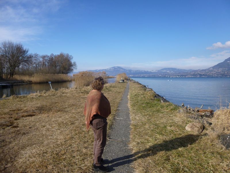
This is the jetty running far out into the lake. Presumably the water dumps its sediment load out in the lake, instead of along the shore, when the flow slows down on hitting the lake. At the modern mouth of the Rhône, there is a permanent non-stop dredging operation that keeps the river mouth from turning into a dam.
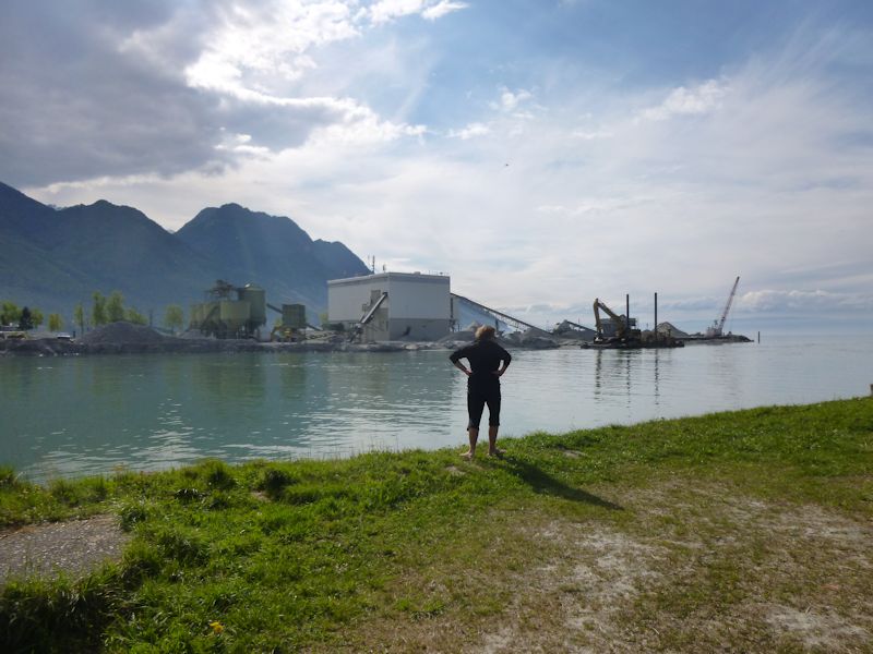
The dredging at the mouth of the Rhône, 20 April 2014 |
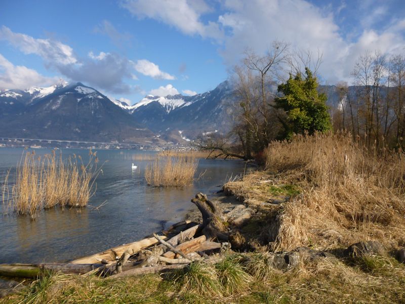
Swans and driftwood
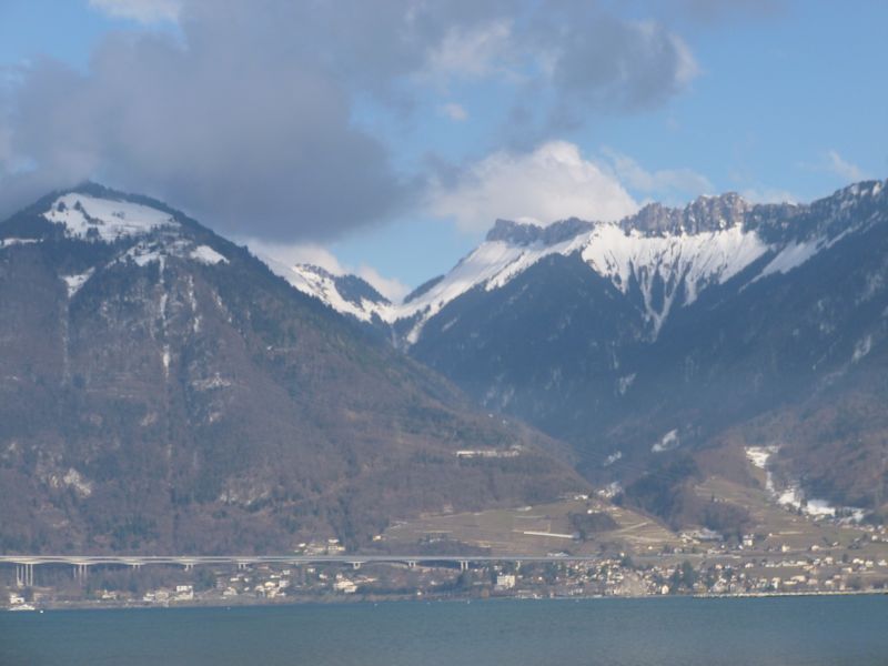
The Col de Chaude in the centre, with the Pointe d'Aveneyre and its ridge on the right, and Sonchaux, the front part of the Rochers de Naye, on the left.
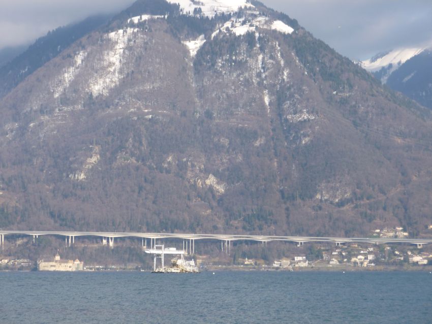
The Sonchaux hillside, with the Swiss A9 autoroute (interstate highway) a hundred meters above the lake along the 2km-long Viaduc de Chillon. The Château de Chillon is on the left, and an offshore dredging rig to the right of that.
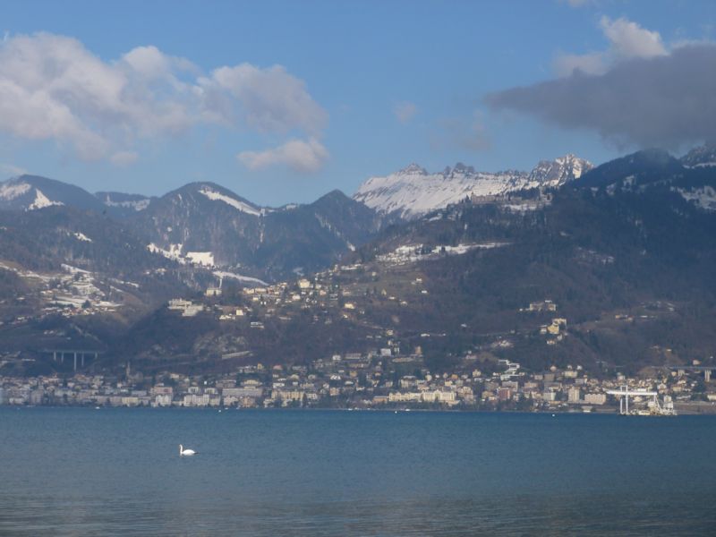
The Montreux area
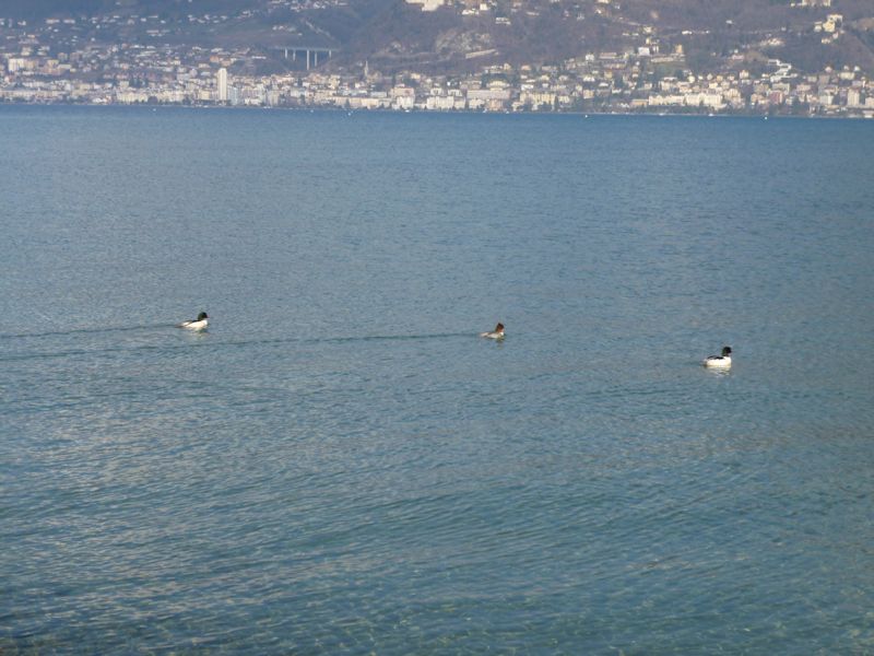
Ducks. Montreux's statue of Freddie Mercury is on the left but invisible from here.
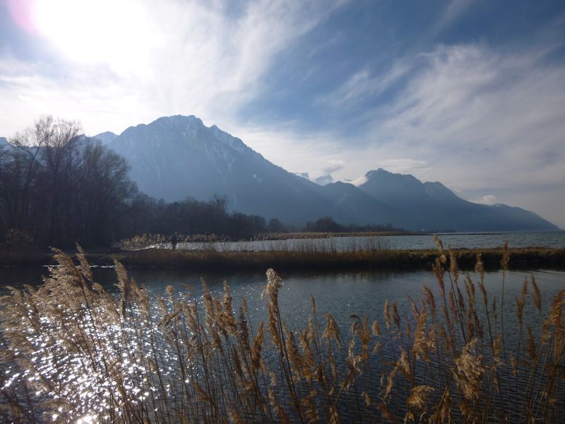
Looking westward towards the French mountains
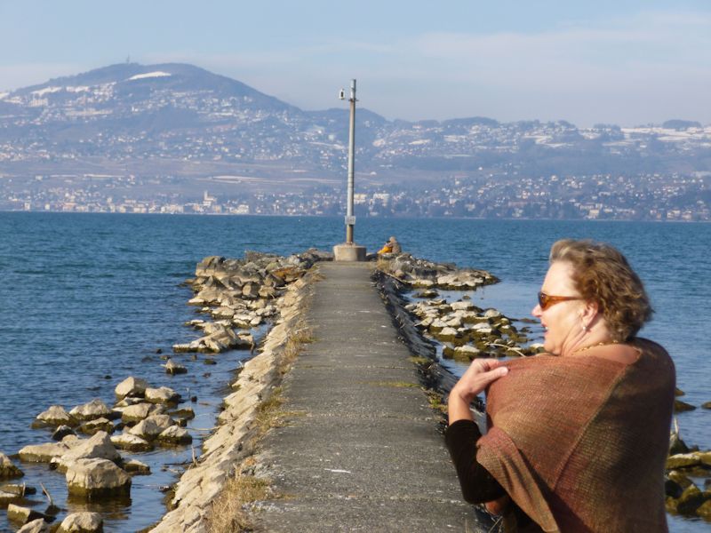
To the end of the jetty
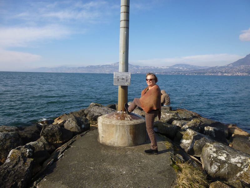
-- Hi Mom.
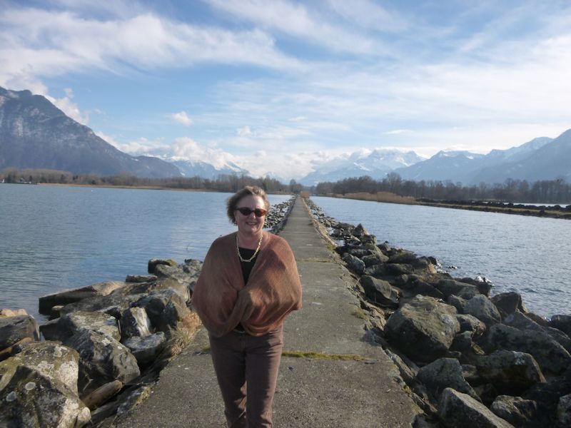
The jetty of the Grand Canal and valley of the Rhône. And Kristin.
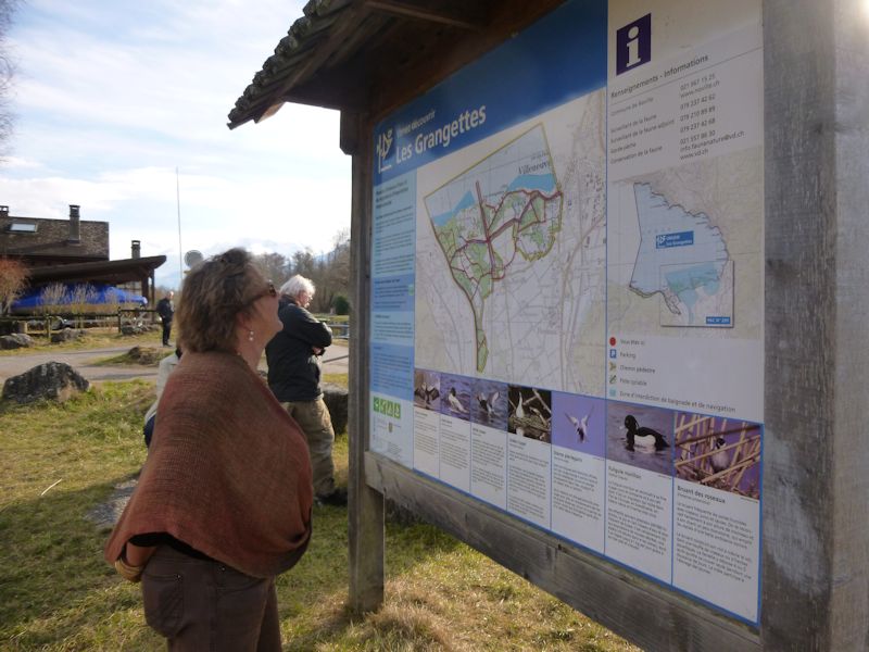
Site info
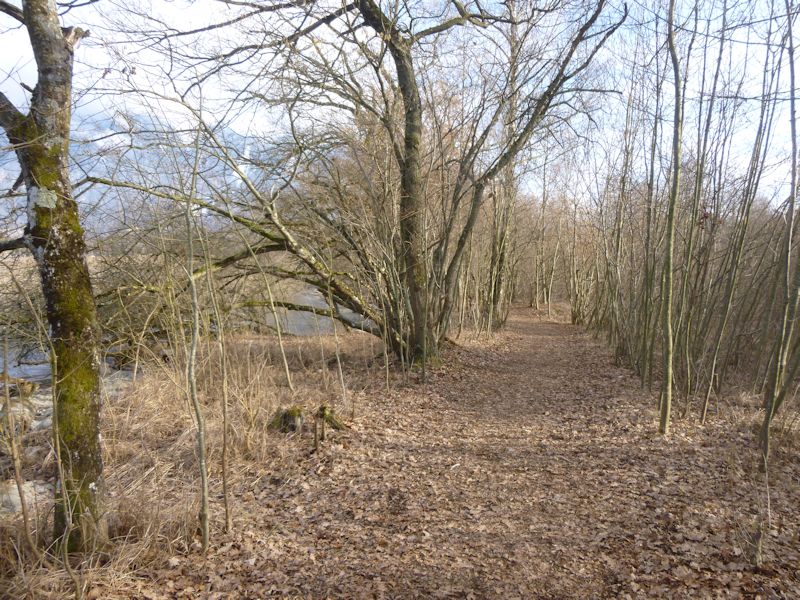
The same lakeside trail in reverse
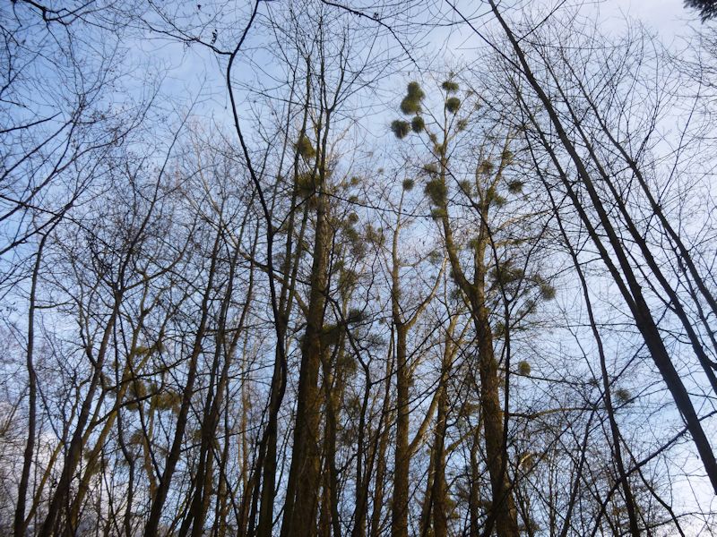
The mistletoe crop
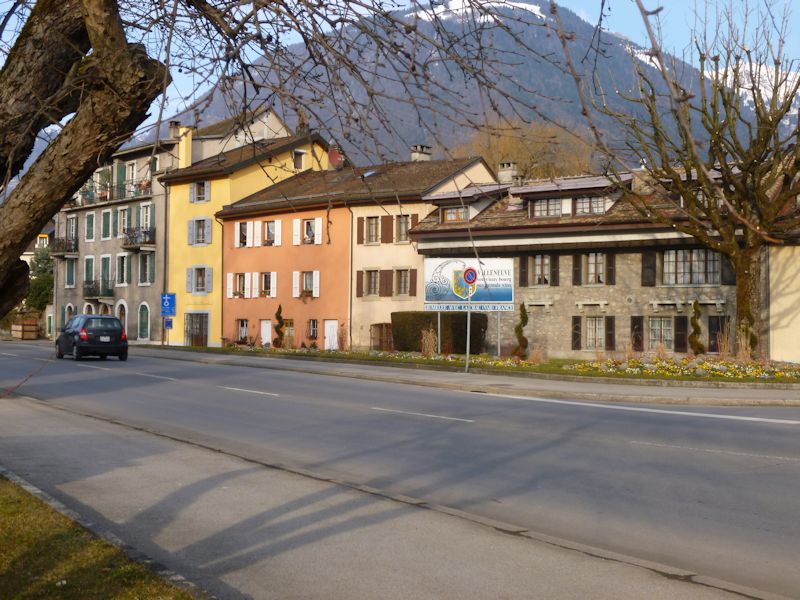
Back to Villeneuve. (More views of Villeneuve)

 Feedback
and suggestions are welcome if positive, resented if negative, Feedback
and suggestions are welcome if positive, resented if negative,  .
All rights reserved, all wrongs avenged. Posted 18 March 2015. .
All rights reserved, all wrongs avenged. Posted 18 March 2015.
|
 Dwight Peck's personal website


