Dwight Peck's personal website
Views of the river Rhône
Way upriver from the Camargue
The river Rhône leaks out of the glacier of the same name in the canton of Valais in eastern Switzerland, and for ages it wandered all over its floodplain westward towards the Lake of Geneva (= Lac Léman) (= Genfersee), thence to proceed down through southern France to the Camargue delta near Arles and the Mediterranean, 800 kilometres in all.
You may not find this terribly rewarding unless you're included here, so this is a good time for casual and random browsers to turn back before they get too caught up in the sweep and majesty of the proceedings and can't let go.
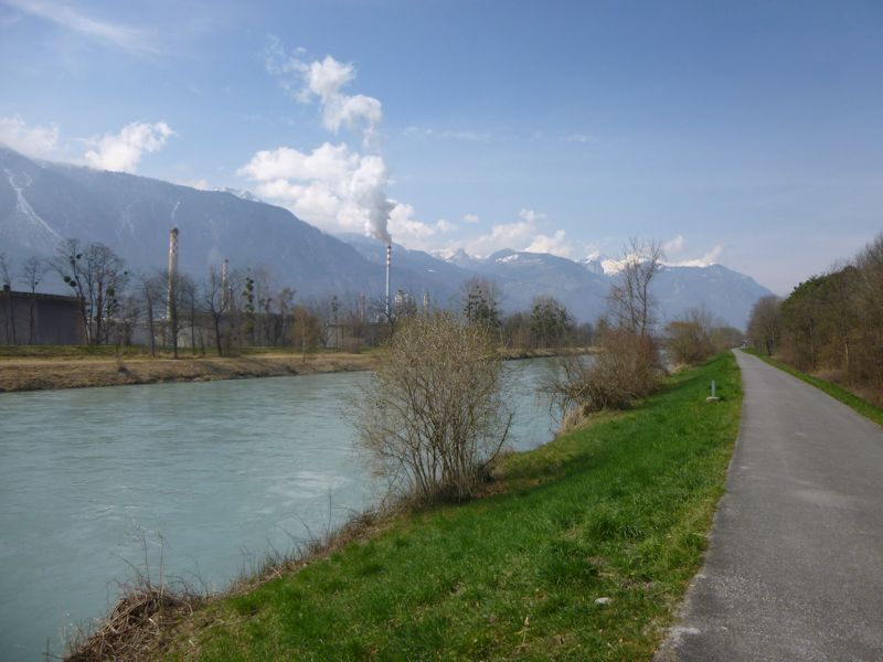
Since the 18th and 19th centuries, the river's whole course has been well and truly channelled, and when it passes our house in Ollon, canton of Vaud, it's running down the centre of a fertile flat about 4km wide. The indeterminant color derives from the glacial runoffs, and the river will turn more or less blue when it hits the lake.
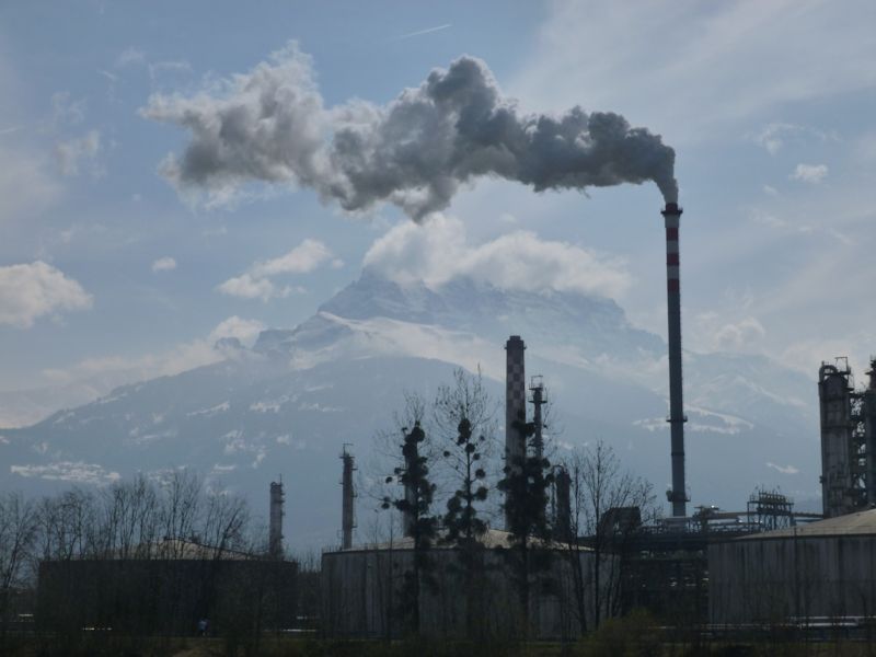
This is the SATOM plant on the Valaisan or western side of the river (we're on the Vaudois side): the Société anonyme pour le traitement des ordures ménagères du haut bassin lémanique et de la vallée inférieure du Rhône, turning household garbage into lovely electricity ("production annuelle d'électricité de plus de 100GWh"). The majestic Dents du Midi is in the background.
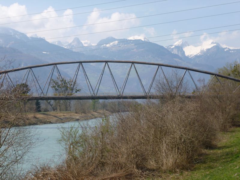
The Bridge over the River Rhône -- not for cars. Not for pedestrians. For gas. It's 24 March 2014.
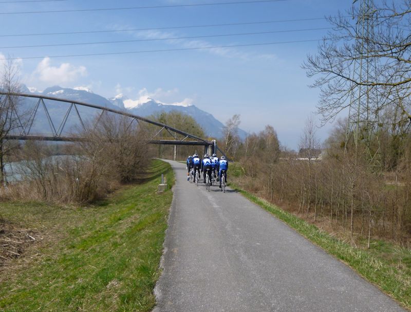
A biker gang
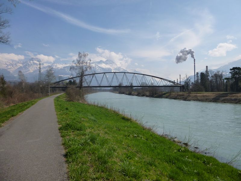
The gas lines from a Tamoil storage depot in Vaud (left) to refineries in the Valais (right). Or something.
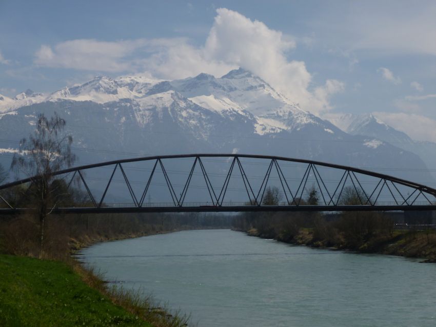
The gas bridge and the Dents de Morcles
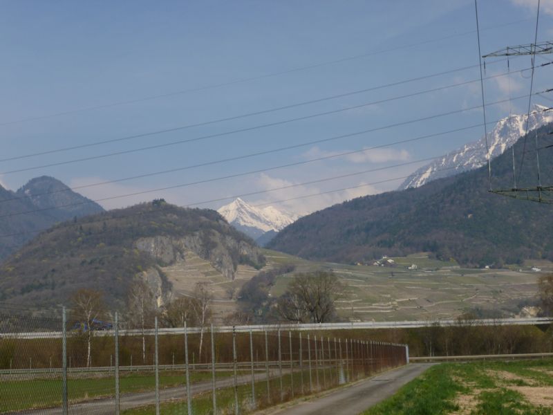
The A9 autoroute or major highway near the Tamoil storage facility, the pointy Pic Chaussy in the background. The hamlet of Verschiez is just up the vineyards on the far side of the highway.
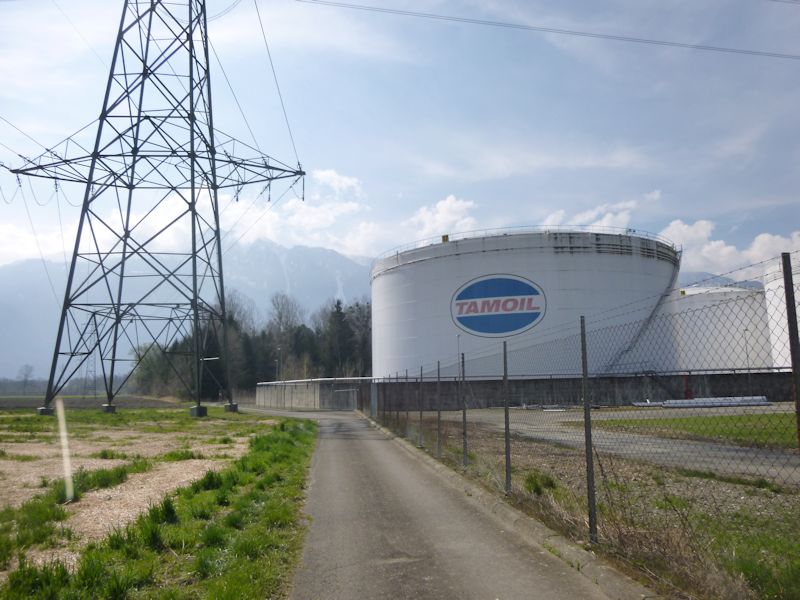
Tamoil. Really.
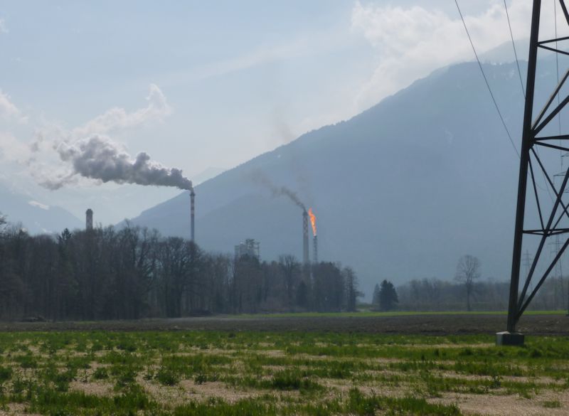
A little burn-off
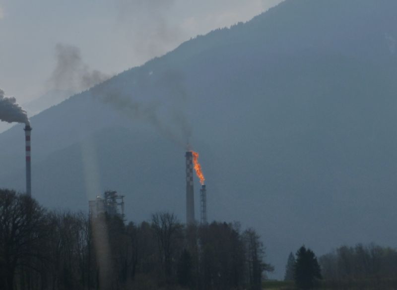
Oh, that can't be healthy.
Villeneuve and the Vieux Rhône
Villeneuve was founded in the 13th century by Count Thomas of Savoie, as "Ville Neuve de Chillon", to provide commercial support for the customs fort of the Château de Chillon about a kilometre along the narrow lakeshore towards Montreux. It's presently got about 5,000 worthy citizens, a vicious industrial district, a labyrinthine commercial collection of Big Box stores, and a beautiful old town along the lakeside.
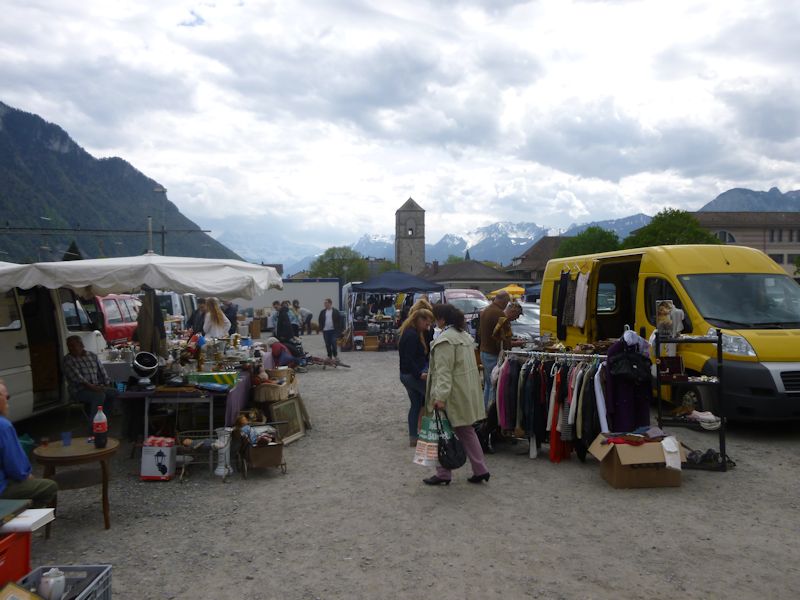
A street market near the rail station and old church, 12 April 2014. We're starting off from here to walk through the Ramsar Site of Les Grangettes across to the mouth of the river Rhône. And back.
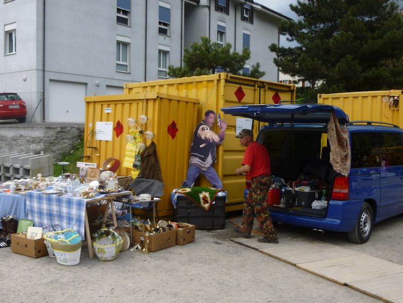
Eddie Murphy. A bargain.
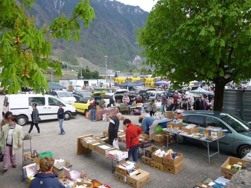
Wading with Kristin's darting appraising gaze through the secondhand goods, and then we're off.
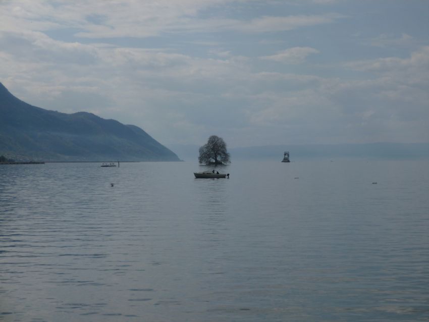
The Île de Peilz (one tree on it, the only natural island in Lake Geneva) -- also called Queen Victoria's Island. The story I heard ("I tell the tale that I heard told . . ." [Housman]) was that the locals presented the island to Queen Victoria as a gift on the occasion of her visit to nearby Montreux ("the English Riviera"); she thanked them and forgot about it, and decades later the Swiss presented the British with a property tax bill and penalties. (Hopefully apocryphal.)
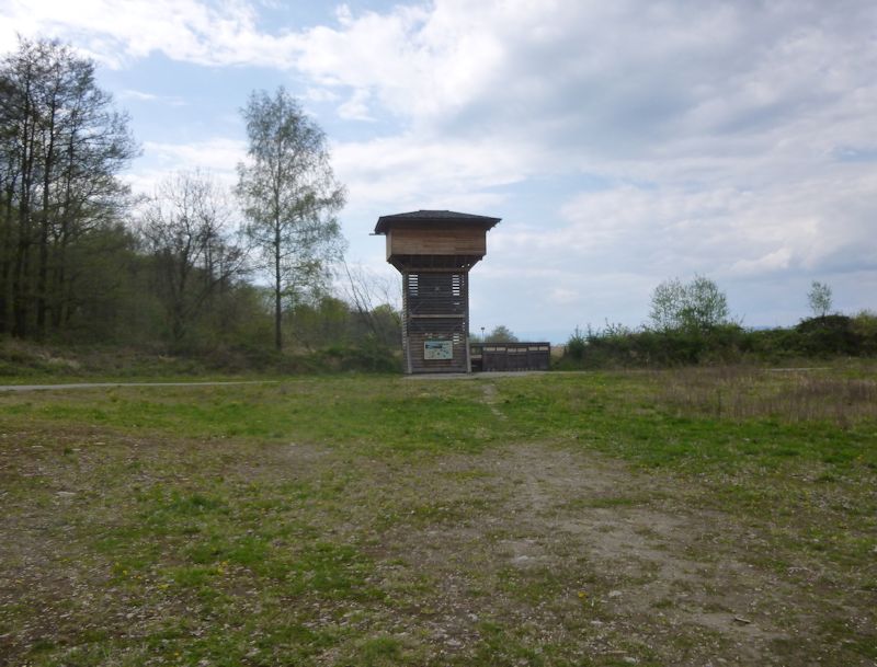
We're inside the Grangettes nature reserve and Ramsar Site now, and here's a birdwatching hide, erected for the public in 2011.
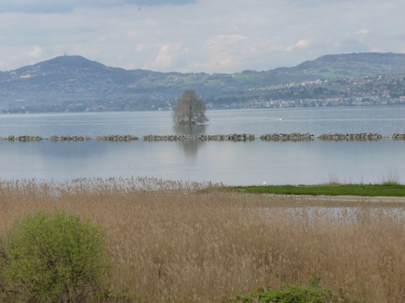
The view from the hide, with an artificial off-shore barrier
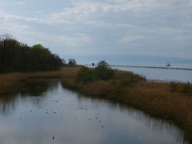
All that careless litter in the water is birds.
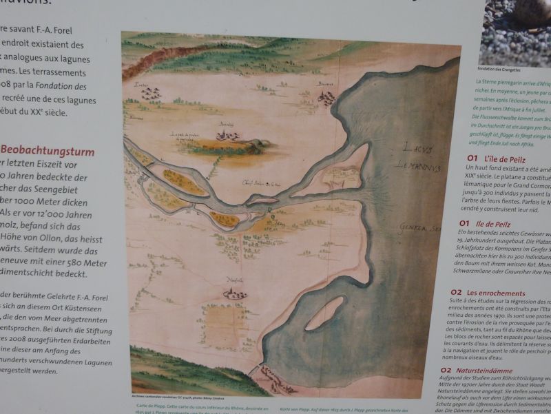
The original Rhône before it was channelled. Villeneuve is at the bottom of the map, Bouveret near the top of it.
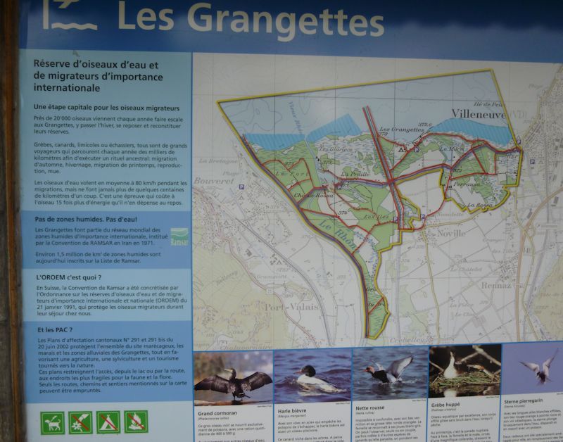
Pas de zones humides - Pas d'eau! (No wetlands = No water!). That was our World Wetlands Day slogan a few years ago, here memorialized on the sign for Les Grangettes nature reserve -- the entire lake shore and old Rhône floodplain between Villeneuve and the present mouth of the river near Bouveret. Les Grangettes was inscribed in the Ramsar List of Wetlands of International Important in 1990.
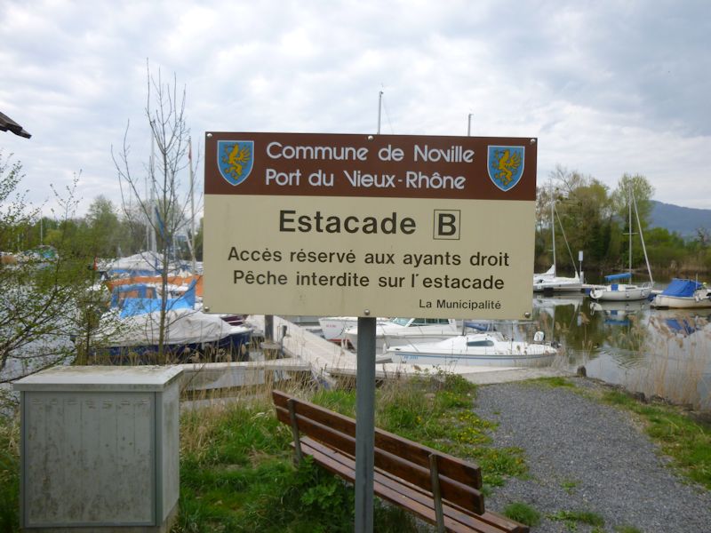
Landing dock B in the little marina in the mouth of the Old Rhône. We're turning back here for today.
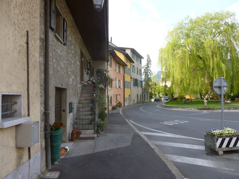
Villeneuve
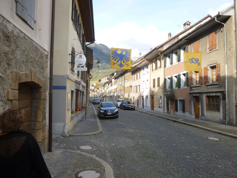
The "main street" of Villeneuve (the Grand Rue), not counting the lakeside road.
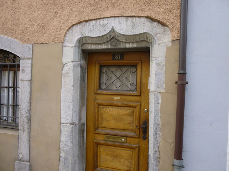
1612
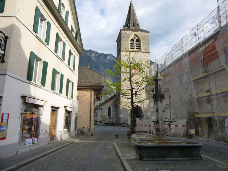
One of Villeneuve's neat old churches
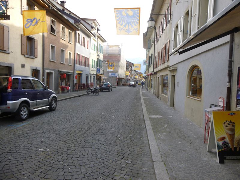
The Grand Rue
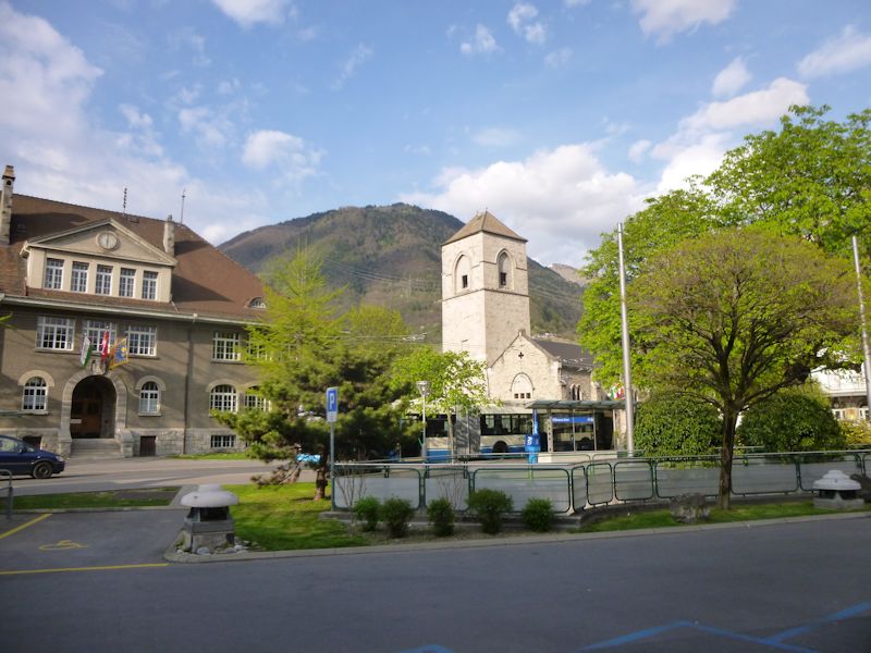
The other old church, near the rail station
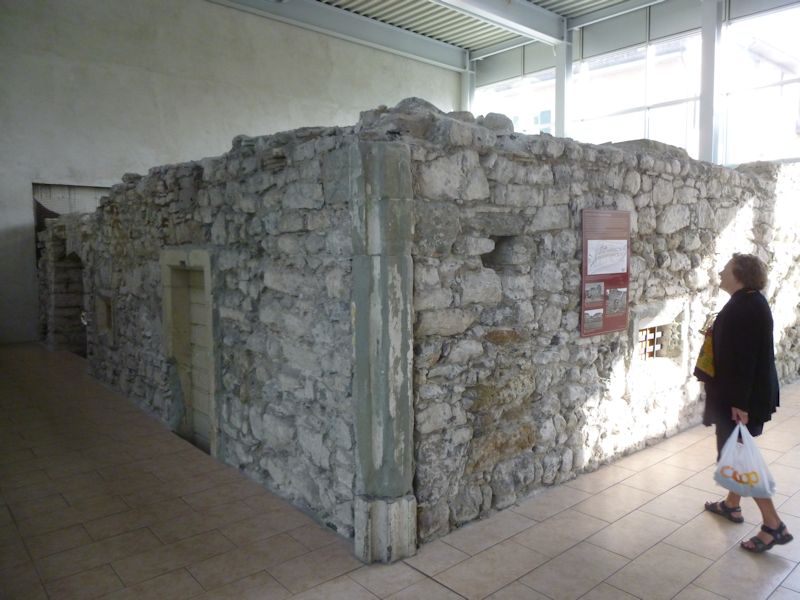
The remains of a defensive tower built in about 1237, uncovered when the old Hôtel du Raisin (my favorite haunt for the filets de perche) was torn down in 1991 to make room for a new supermarket COOP complex.
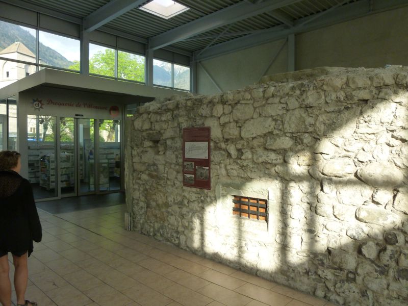
A medieval defensive tower and the Herbalist of Villeneuve
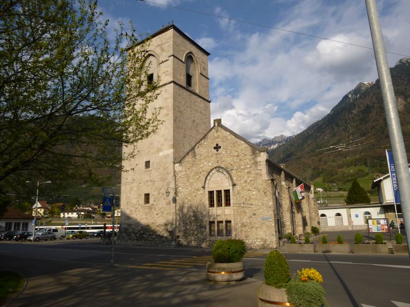
The old church near the rail station
The mouth of the Rhône
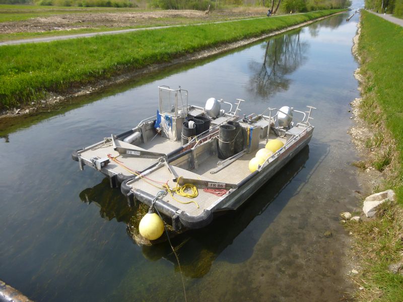
The Grand Canal, roughly parallel to the Rhône and the Vieux Rhône, all part of the complex of hydrological improvements over the past 200 years. We're walking over from the village of Noville, 20 April 2014.
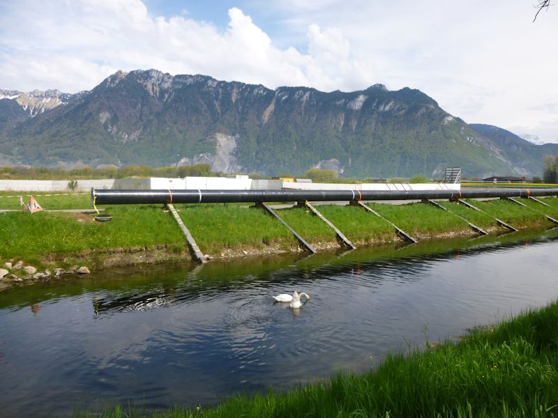
Uh oh, lots of pipes. Lots of "No Trespassing" workyards. The sad truth -- somebody's setting up a fracking operation in the lake and planning to pipe the profits back to this unassuming work site. They certainly snuck that one past us.
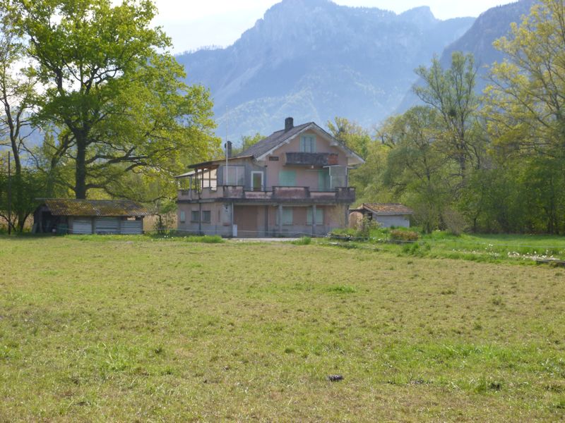
An old villa in the marshes
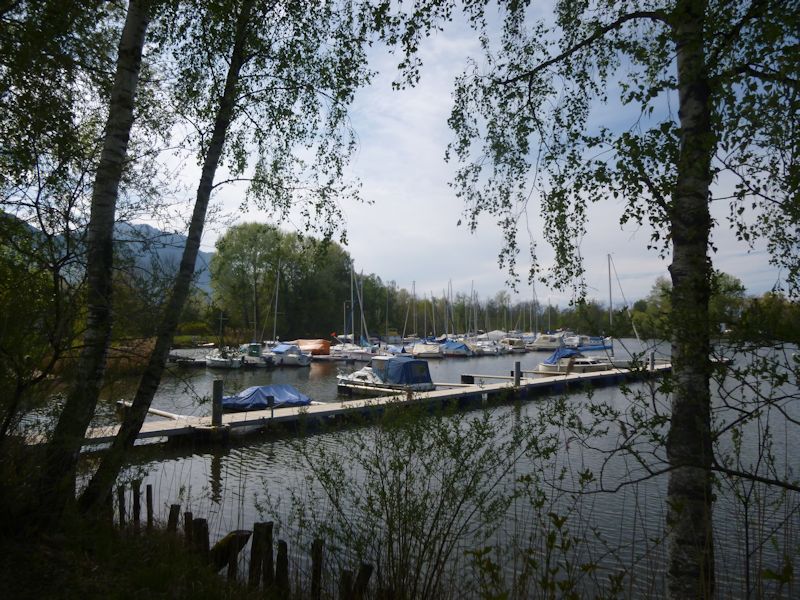
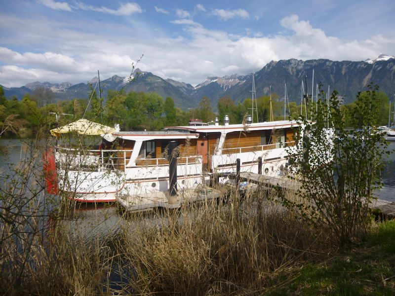
We're back at the Port du Vieux-Rhône.
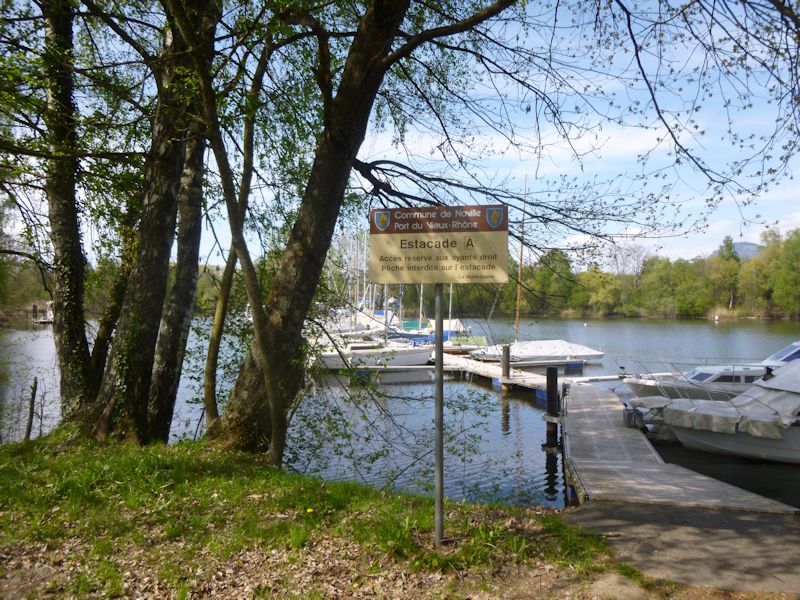
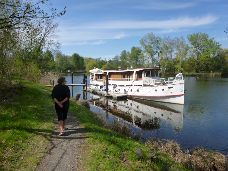
A lovely boat
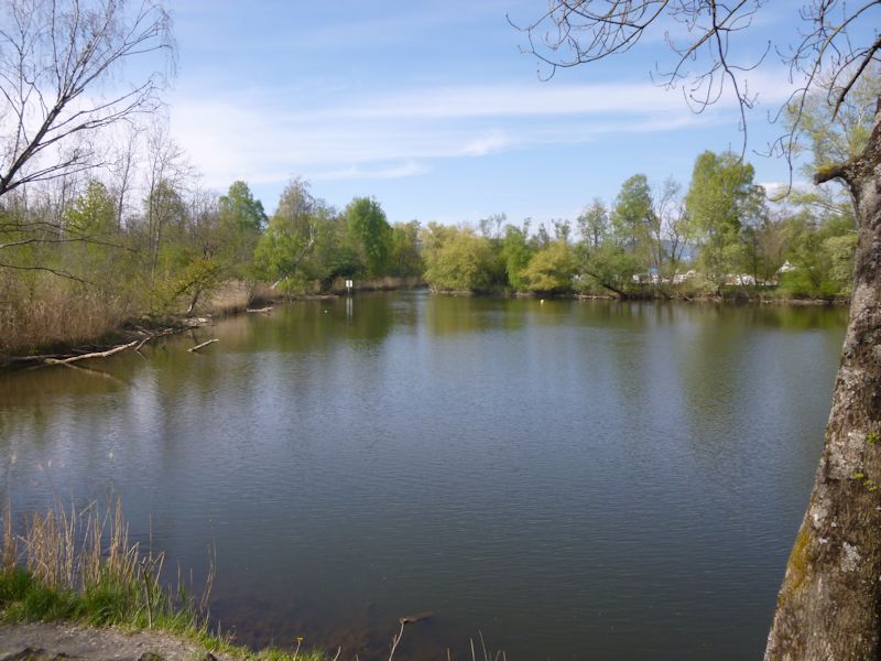
The channel out to Lake Geneva
We're persevering onward through the nature reserve towards the Rhône.
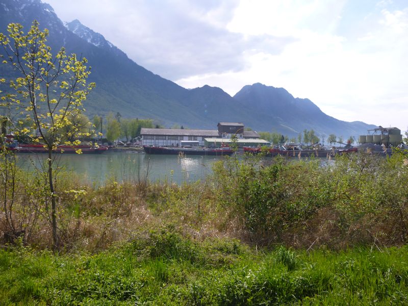
The river Rhône not far from its entry into Lake Geneva. There on the Valais side -- the Aquaparc tourist destination in the town of Bouveret near the French border at St Gingolph.
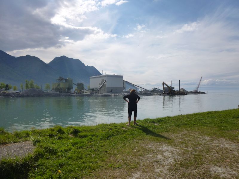
The mouth of the Rhône. The dredging operations recover the débris washed down from the glaciers, dropped here when the river meets the lake and slows down abruptly.
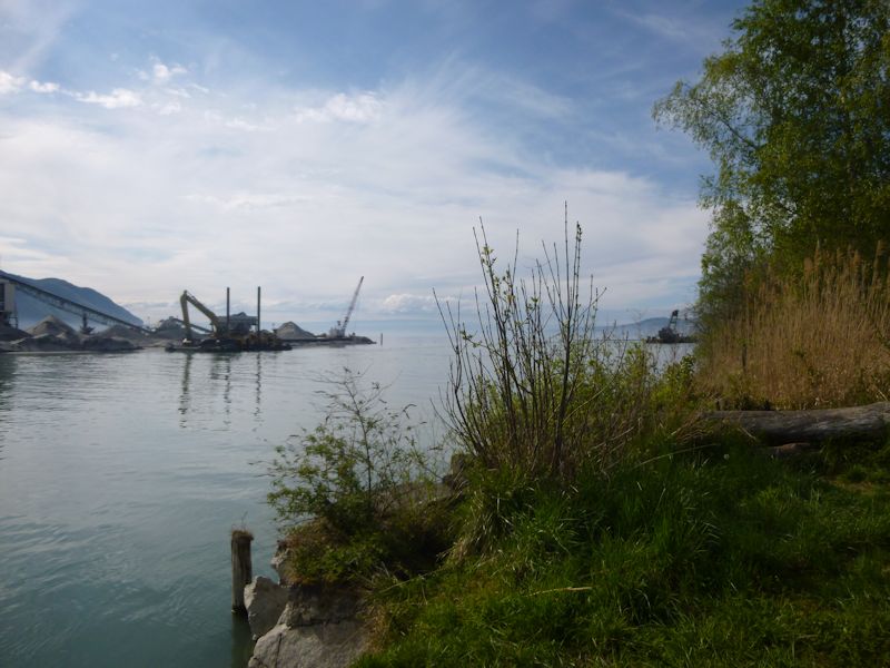
Once, years ago, as I was relaxing here with a snack in the middle of a long running route, a bird-poacher with a shotgun walked past, waved hello, and trudged off into the reeds . . .
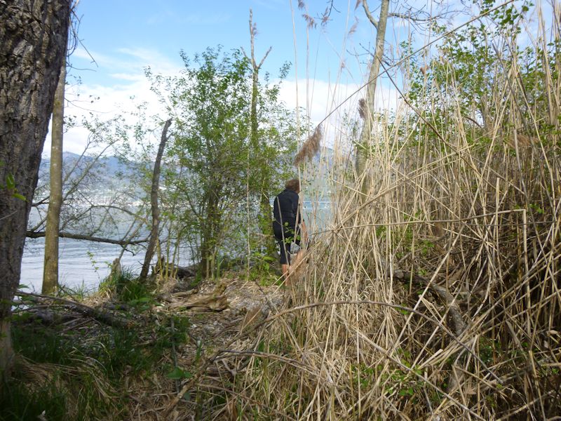
Like this. Shortly afterward, a policeman came along, asked me if I'd seen anyone with a shotgun ["yes, he went thataway"], and walked off in the same direction through the reeds.
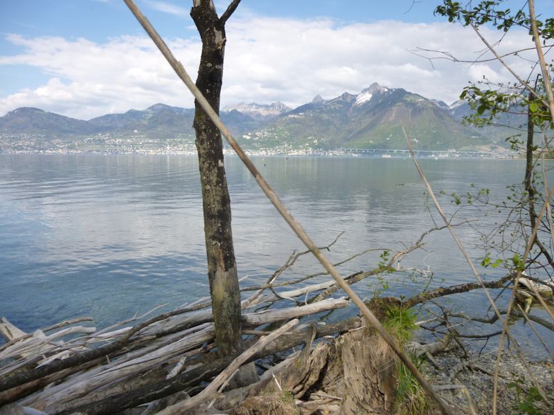
Shortly after that, the poacher came round from the other direction and asked me if I'd seen a policeman pass by ["yes, he went thataway"], and walked off into the same path through reeds.
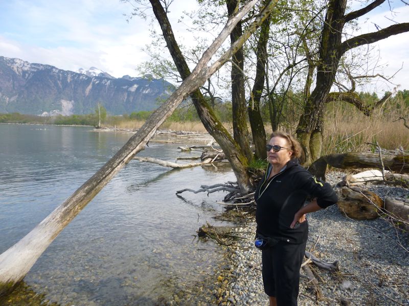
I'd love to have waited to learn how that turned out. Here Kristin is watching birds but not poaching them.
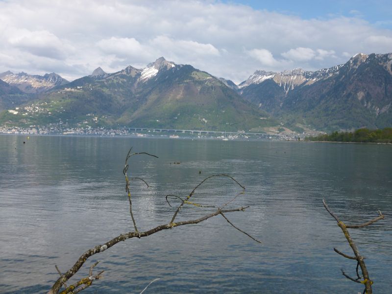
The Viaduc de Chillon, carrying the A9 Autoroute over the town of Montreux and its suburbs -- the Rochers de Naye in the center background.
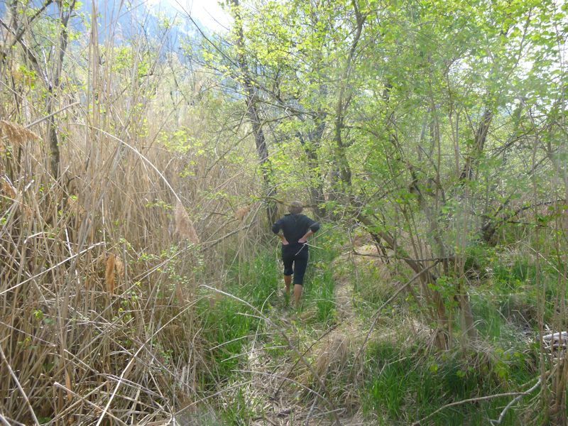
Back along the poacher's trail
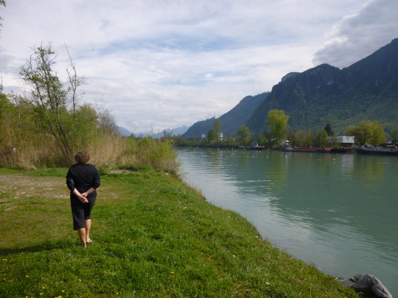
And back along the river
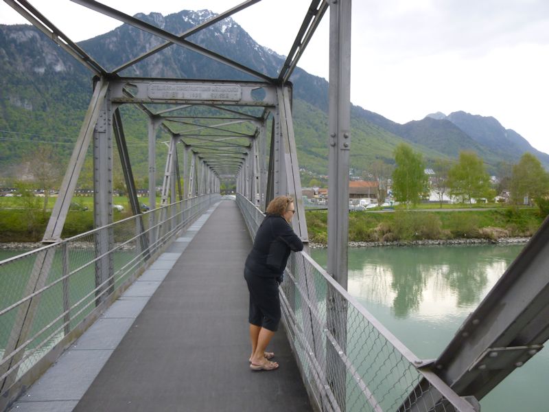
Kristin on the passerelle (footbridge) des Grangettes
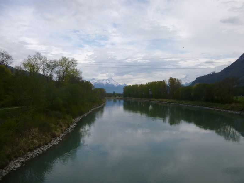
The Rhône, one km up river from the lake
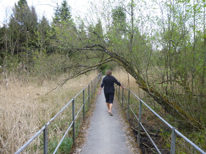
Kristin and a walking path eastward through the riverside marshes
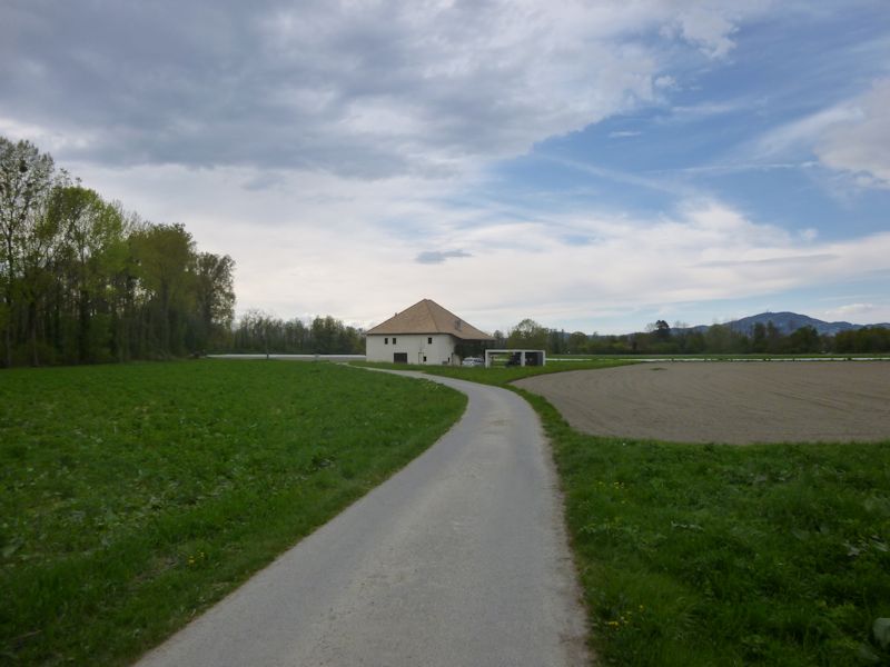
A lone farm along the way
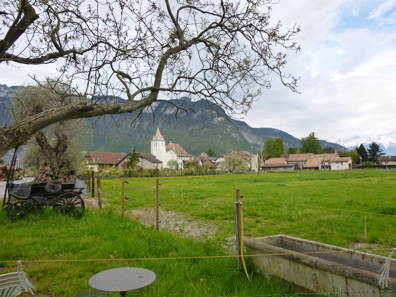
Re-entering the village of Noville
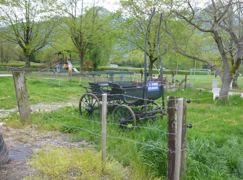
For sale. Limited uses, but nostalgic.
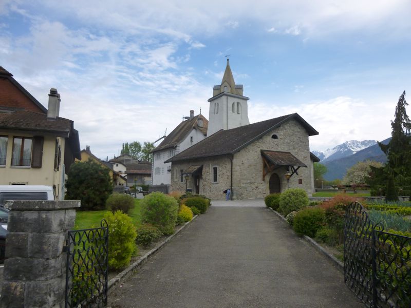
The church in Noville
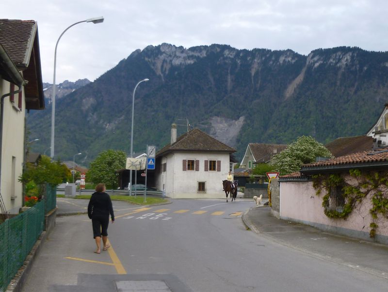
The street for cars, the pedestrian lane, and the equestrian lane
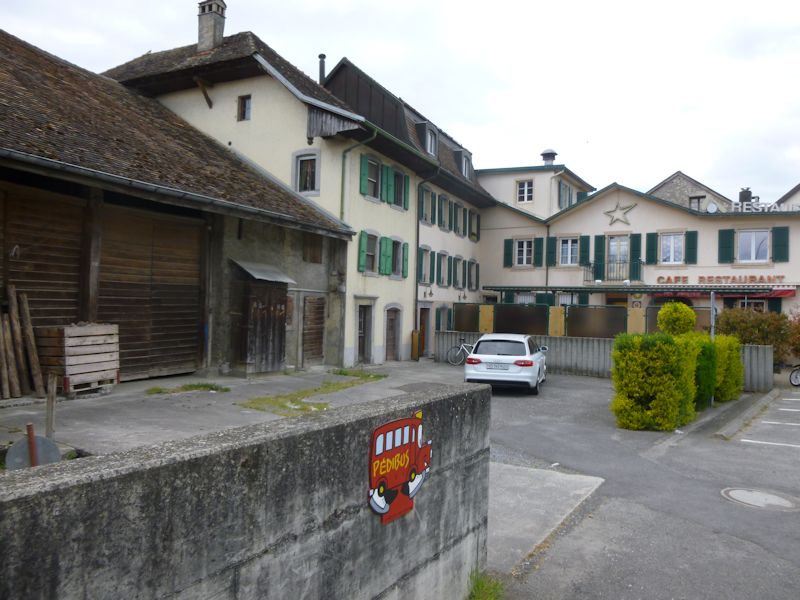
The Pédibus stops here. (The pédibus is an organized route along which adult accompagnateurs pick up shoals of children on a timetable, walk them all to the school, and later home. We've got three pédibus routes in Ollon.)
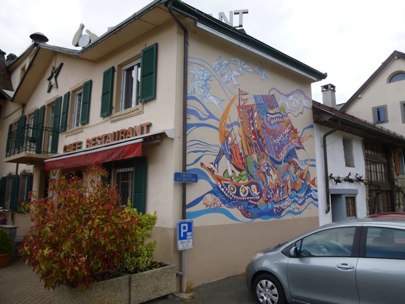
Delightfully festive, but a little out of our price range, as it turns out.

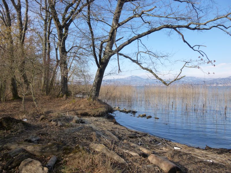
The wetland of Les Grangettes and the Grand Canal, 8 February 2015
 Feedback
and suggestions are welcome if positive, resented if negative, Feedback
and suggestions are welcome if positive, resented if negative,  .
All rights reserved, all wrongs avenged. Posted 4 June 2014, revised 18 March 2015. .
All rights reserved, all wrongs avenged. Posted 4 June 2014, revised 18 March 2015.
|


