You may not find this terribly rewarding unless you're included here, so this is a good time for casual and random browsers to turn back before they get too caught up in the sweep and majesty of the proceedings and can't let go.
Fall visits -- 1b: Alison and Mark at Sherando and Ragged Mountain
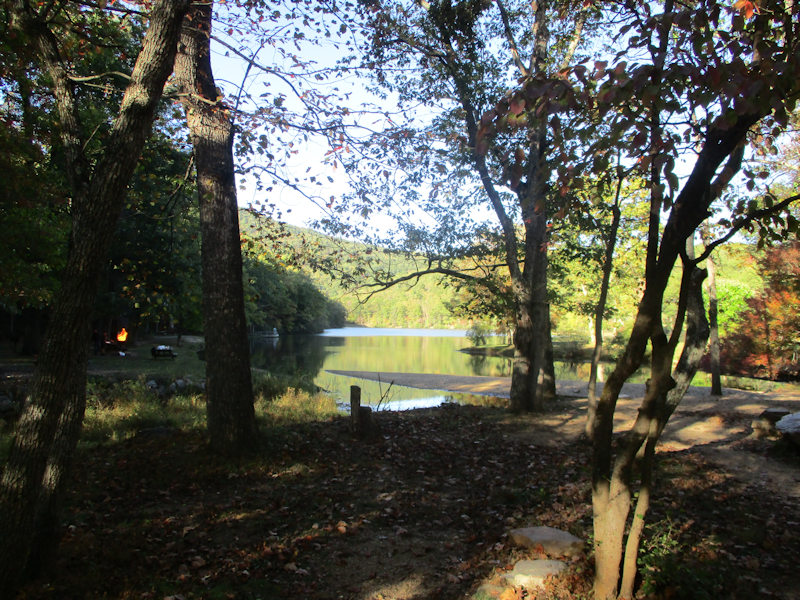
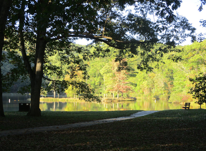
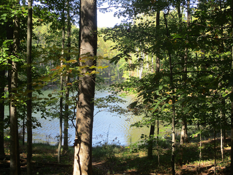
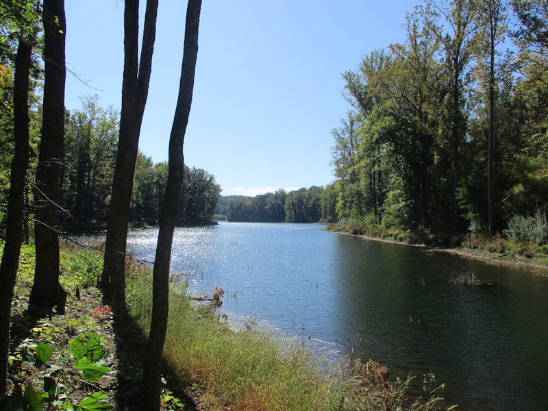
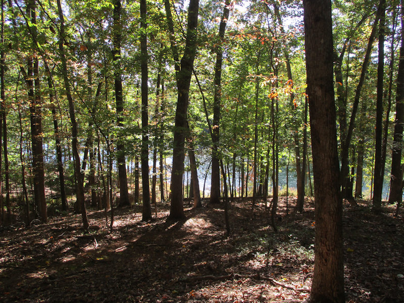
Errands out of the way, 14 October 2019, we're here for a bracing late-afternoon walk round Sherando Lake just down the hill from the Blue Ridge Parkway. It's chilly enough to discourage potential swimmers and sunbathers, but there's one family trying very hard to get a fire started for a cookout.
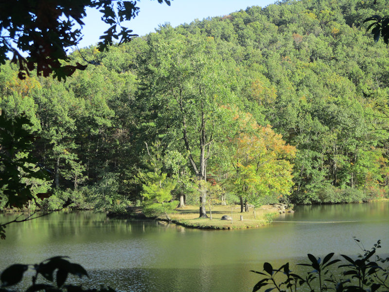
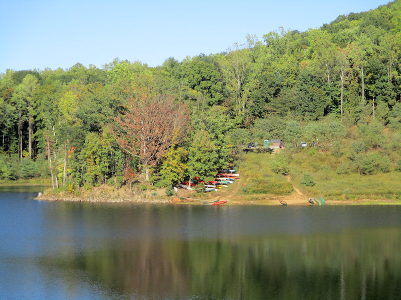
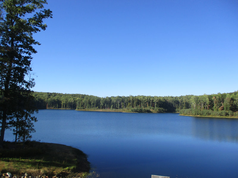
The pretty little island at mid-lake -- the Sherando Lake Recreation Area, the 'jewel of the Blue Ridge Mountains', is maintained by the US Forest Service and boasts campgrounds and cabins, a rudimentary lodge with showers, etc., and a lot of recreational possibilities. It's part of the huge George Washington and Jefferson National Forests (est. 1995) that cover 1.8 million acres in Virginia, West Virginia, and Kentucky.
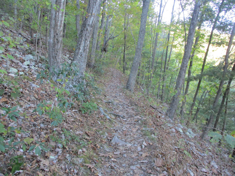
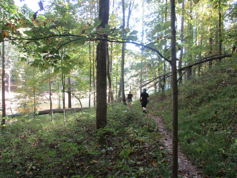
The easy lakeside trail takes less than an hour at a relaxing pace, but there are a couple of longer variations that we will leave for another day.
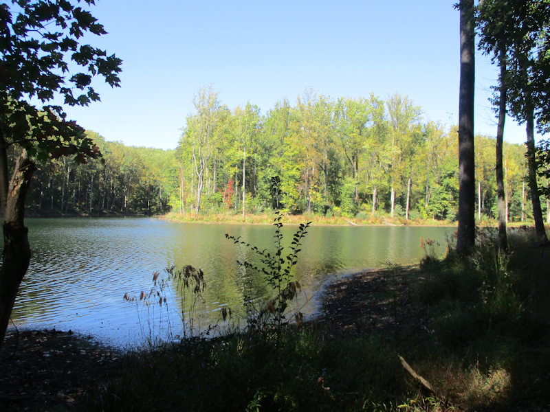
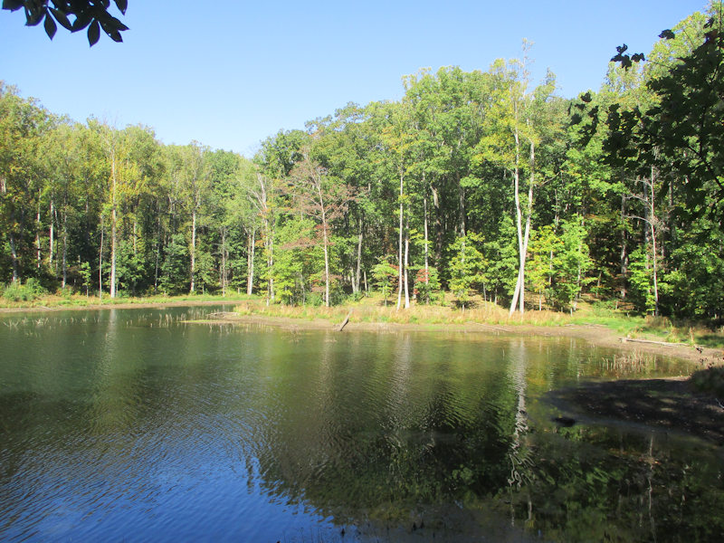
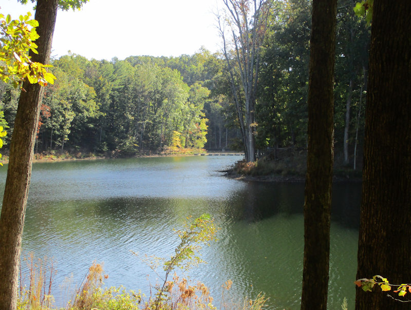
The main lake (the 'lower lake') extends about 600m end-to-end, and about 150m (500 feet) across.
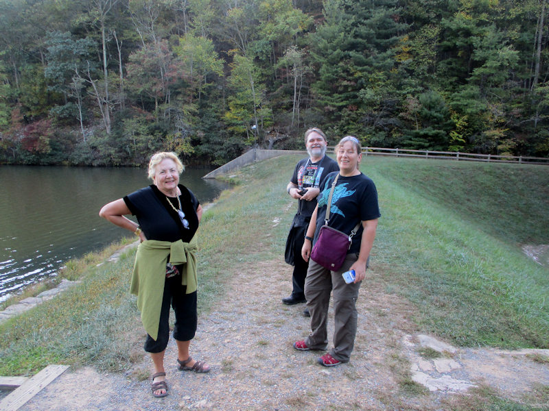
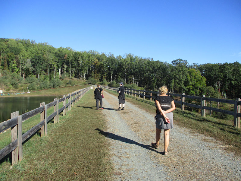
Halfway round the lake, on the dam at the southern end
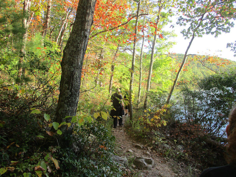
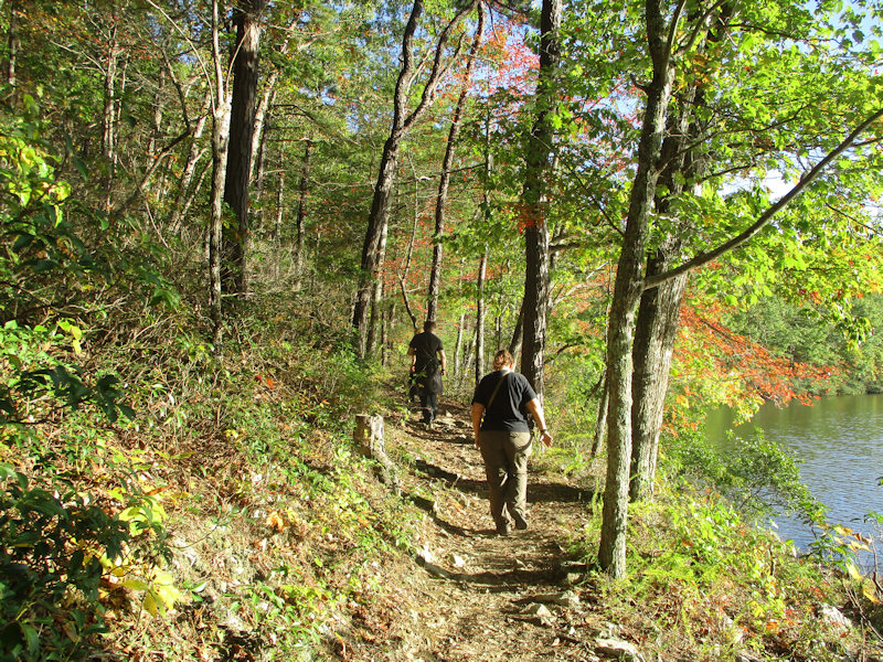
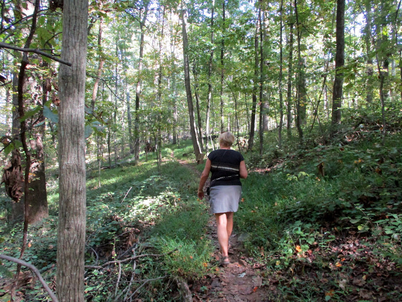
A more pleasant walk along the sunnier western side of the lake
Back to the start, near the little beach and swimming area and . . .
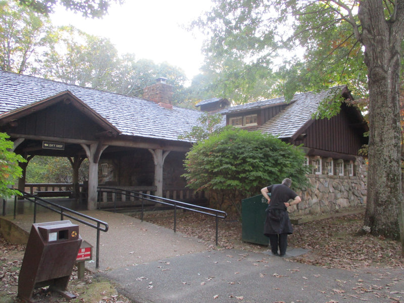
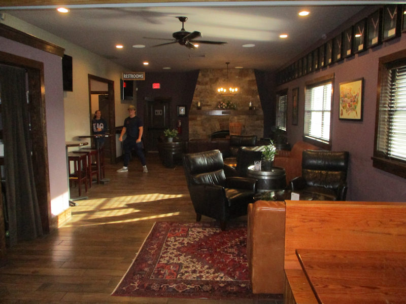
. . . the little lodge, with a gift shop and restrooms. There's no one at all around at this time of year.

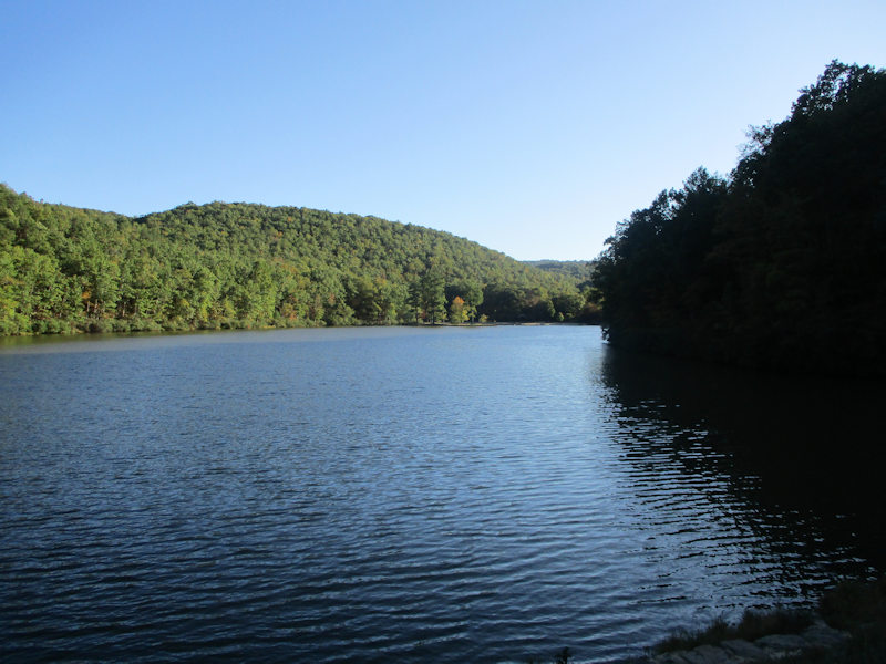
A brief look, as the sun disappears over the hill, at the Upper Sherando Lake upstream to the south along the North Fork of the Back Creek
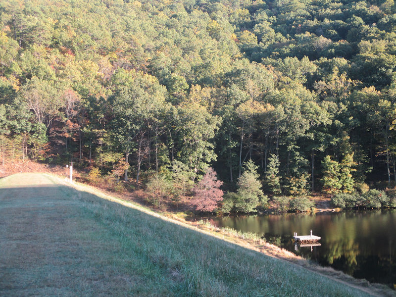
The dam on the upper lake, with an overflow channel below. Now, home to dinner and four episodes of P. G. Wodehouse's Blandings Castle.
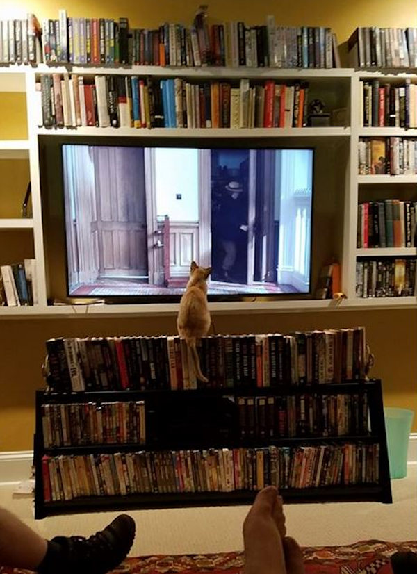
Choupette is acquiring our addiction to Blandings Castle (photo by Alison).

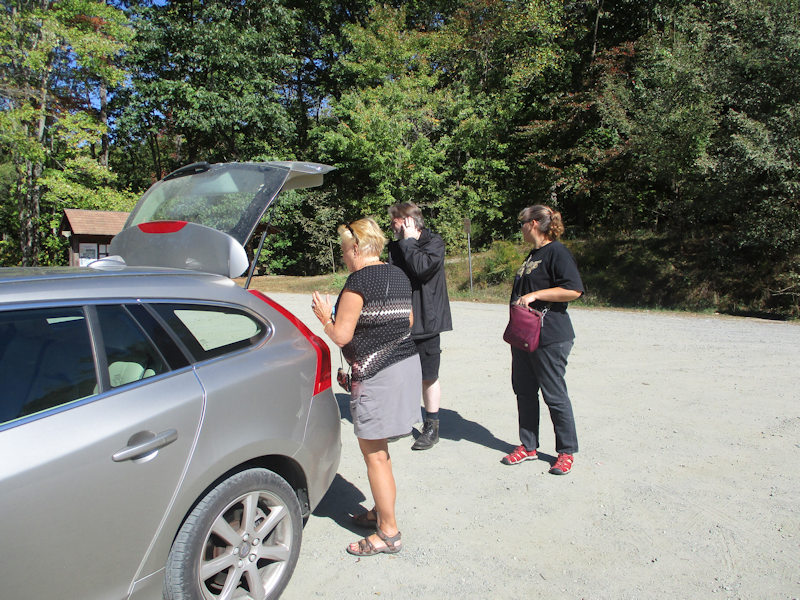
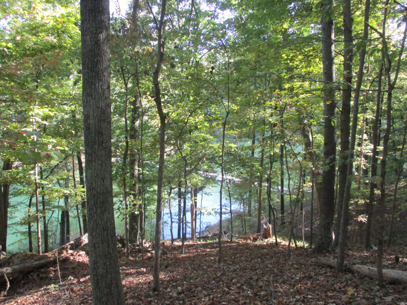
A longer walk on the to-do list for today, a 7-mile march around the Ragged Mountain Reservoir, just three miles west of downtown Charlottesville, Virginia. 15 October 2019.
The Ragged Mountain Natural Area, nearly 1,000 acres of very nice forest with a big lake extending up several creeks, is owned by the city of Charlottesville and was first dammed as a reservoir in the late 19th century; the most recent addition to the dam system was made in 2014, but the area was opened for public recreation in 1999.
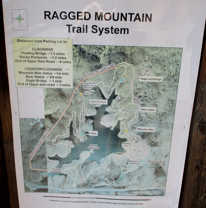
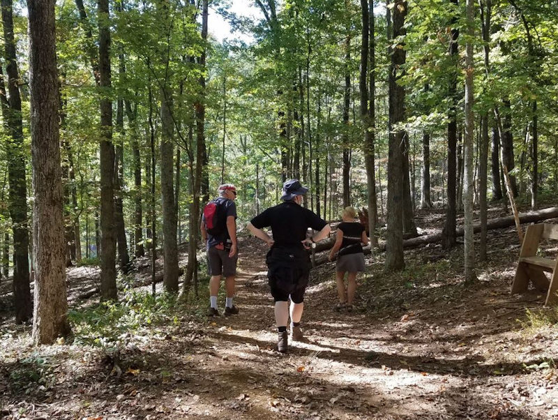
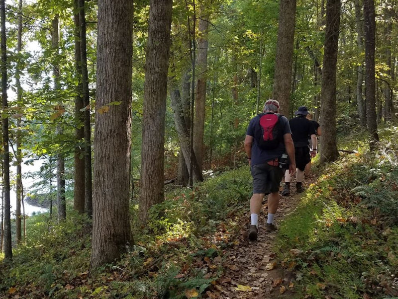
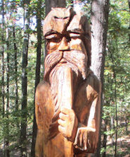
Off we go -- anti-clockwise, from the carpark to the 'Mountain Man'!
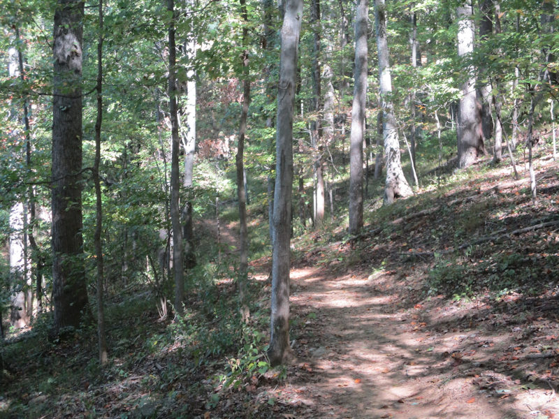
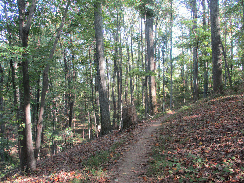
A fine walking trail all the way round -- all mentions of the place applaud the masses of volunteers who apparently prepared all the trails in the late 1990s.
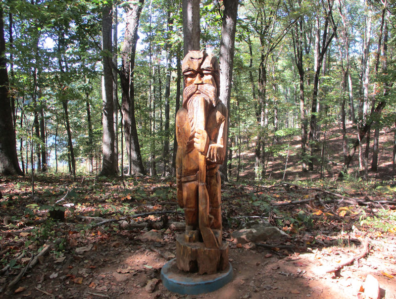
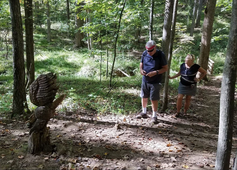
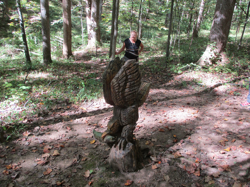
That, one supposes, is the 'Mountain Man'. (It's not a Paul Monney.)
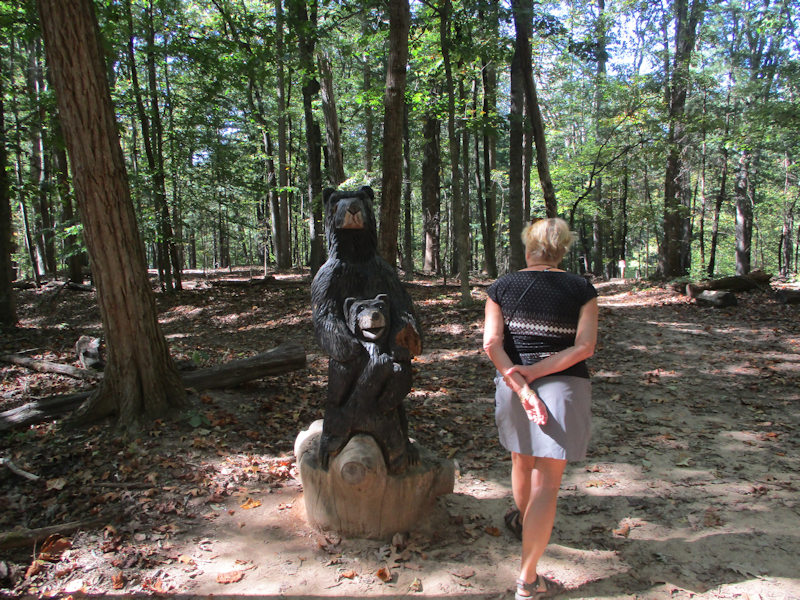
And that, presumably, is the 'Bear statue'.
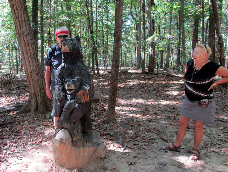
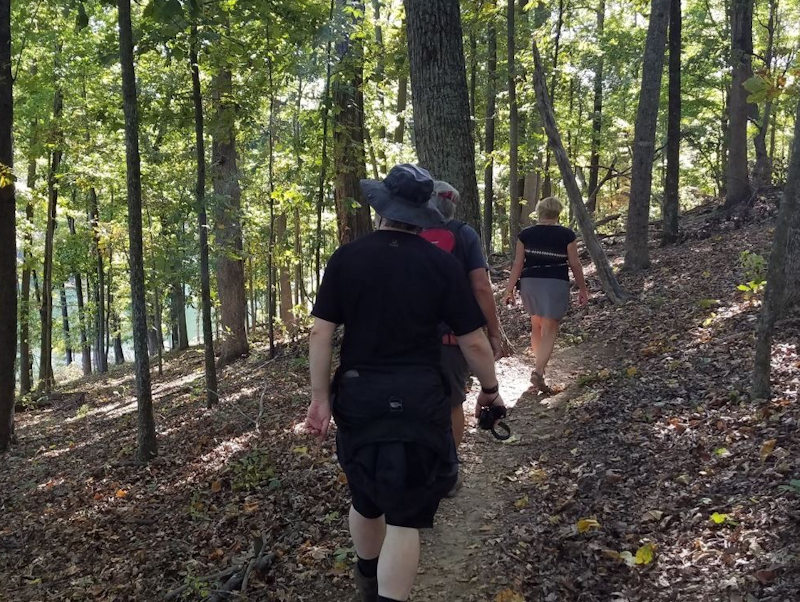
An opportunity for a photo break
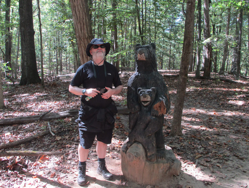
Mark and friends
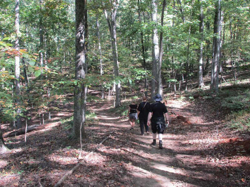
The trail is gentle, but winds up and down the terrain along each of the creeks for a total of something like 300-350 meters of elevation gain in all.
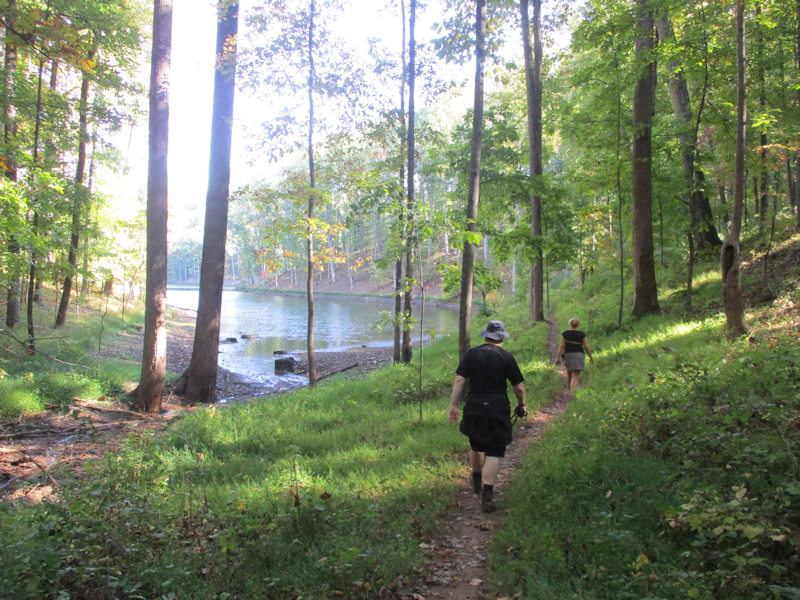
Not far from the northern end of the lake
The lake level is down a ways.
The far northern end of the lake
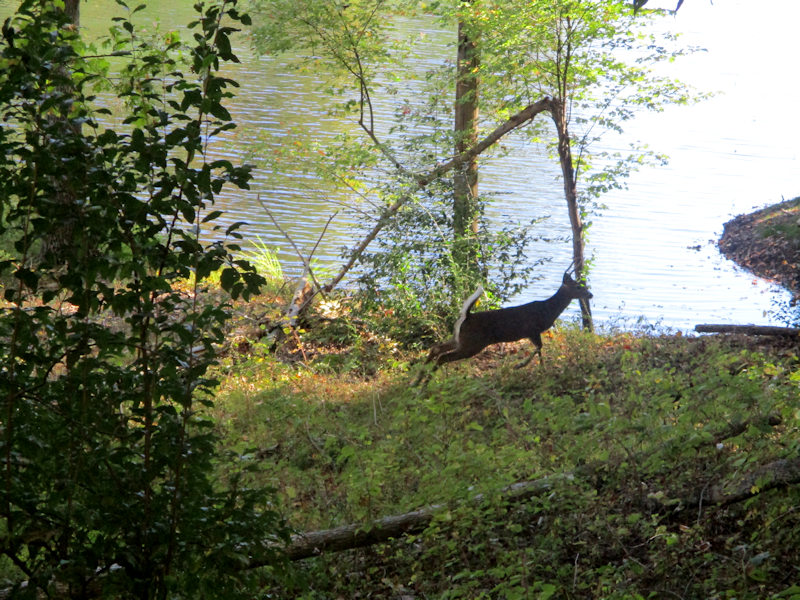
A vicious little eagle that requires to be photographed (photo by Alison)
The nasty thing is gnawing on a cute little fish -- that could have been a little cat; a kitten!; our kitten!
The system of benches (right) placed by the boy scouts, apparently, are actually one mile markers with indications of the distance to the trailhead in both directions (photo by Alison).
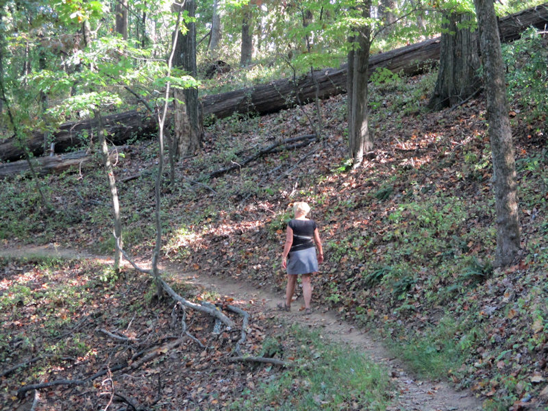
Another uphill, gentle but rather long (photo by Alison)
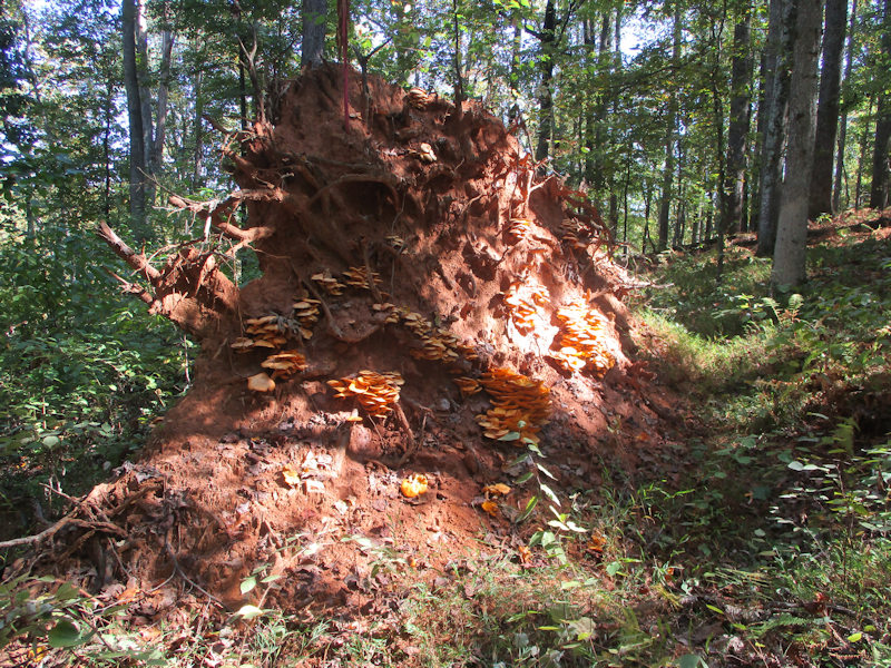
Mushrooms on the overturned tree
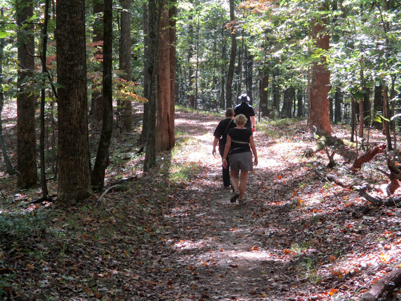
Down the 'Old Upper Dam Road' on the northwest side of the lake
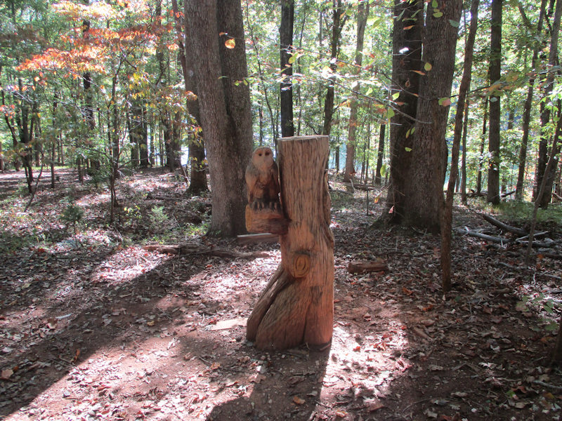
Owls
Up another little hill . . .
. . . and down again
Alas, we're disturbing the neighbors.
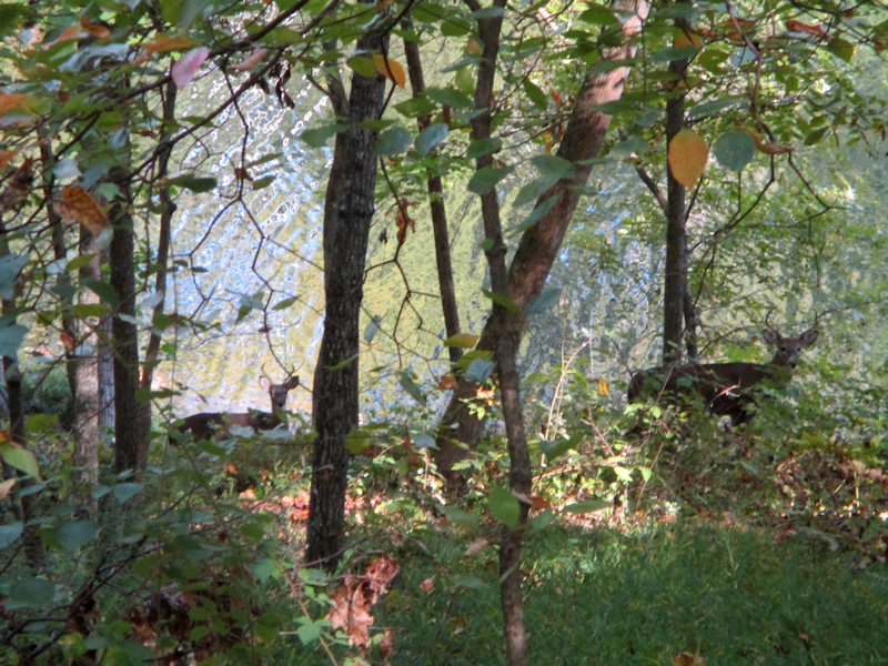
They seem used to it.
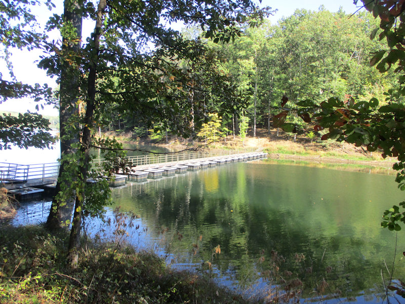
Another hill, on the way to the 'floating bridge'
Voilà, the Floating Bridge
One more hill to get over, to our bridge
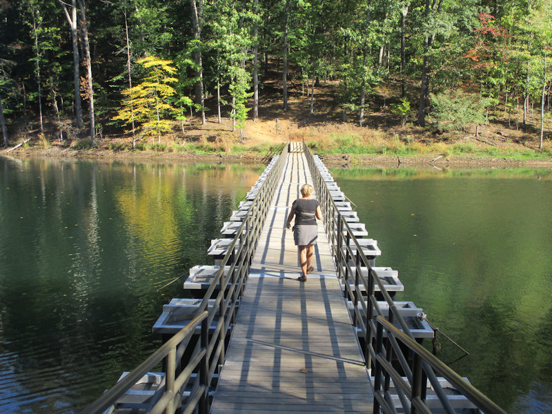
The bridge below
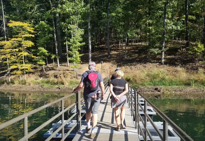
Eh voilà -- it's a very welcome floating bridge, as it cuts off a sizable arm of the lake at a very opportune time

Tiring walkers homing in on the shortcut bridge (photo by Alison)
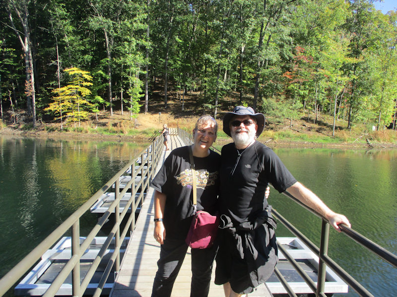
Alison and Mark, still having fun, whilst . . .
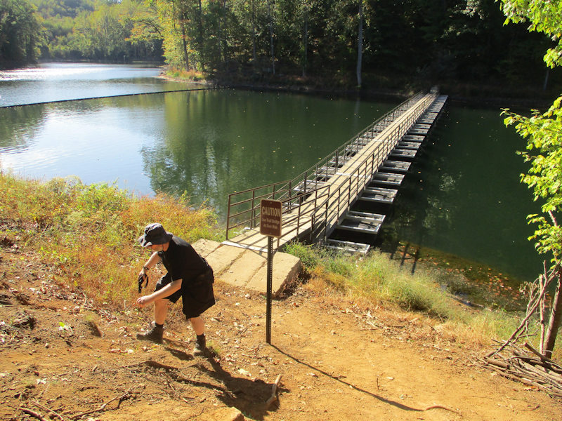
. . . the old dad is wobbling along on the railing (photo by Alison).
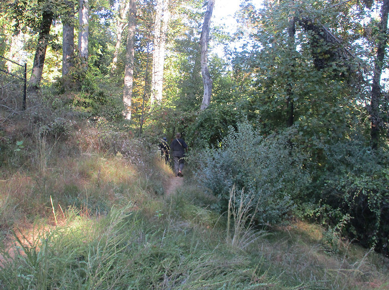
Up the last sizable climb, with just a mile and a half to go
The woods are peaceful, in the sense that we only saw four other people all day, but not exactly quiet -- Interstate highway 64 is roaring by just 400 metres south of us.
A last descent into the home stretch
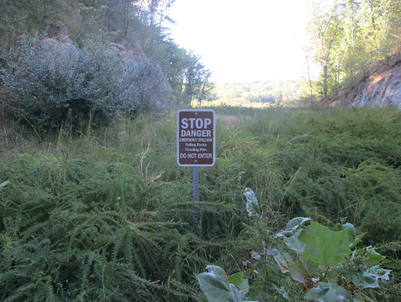
-- Falling rocks! Flooding risk! Got it, we're good.
-- Wait up.
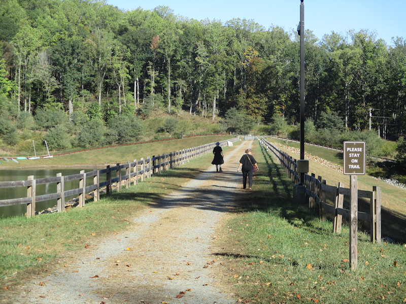
Back to the big dam
And the trailhead across the way
A good look at the beautiful lake on a fine day. A roughly three hour walk, and worth every minute of it.
-- What time is dinner?
The time for dinner is NOW.
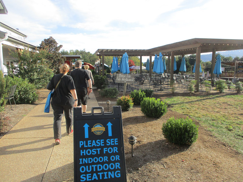
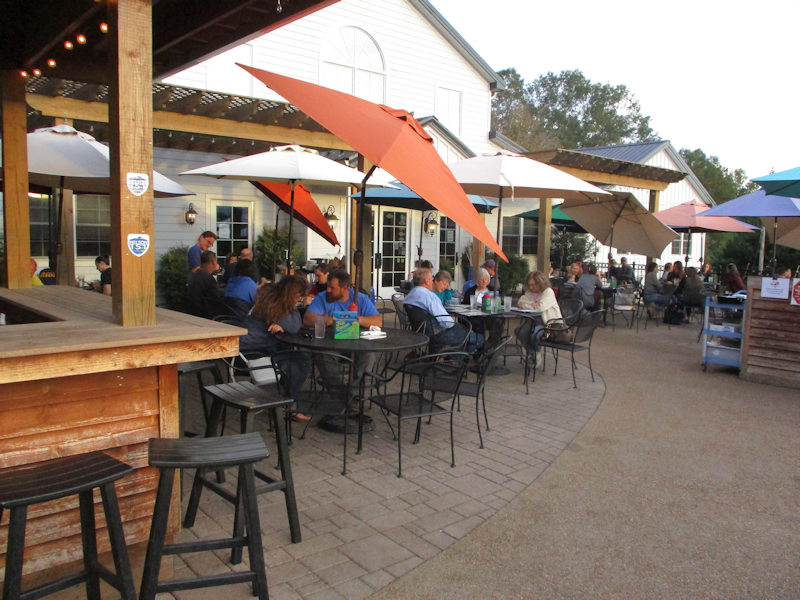
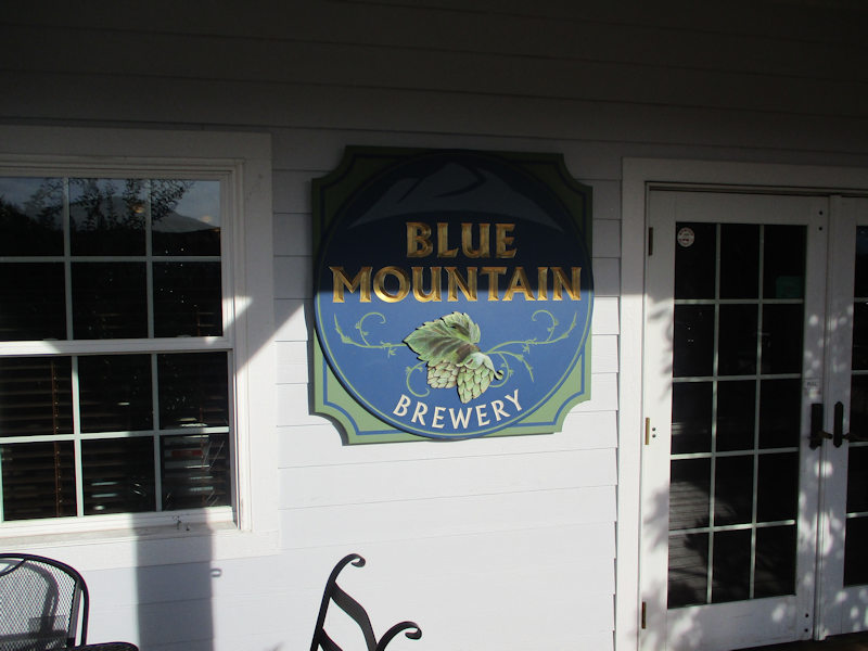
Pub grub, in effect. A perfect choice.
Next stop: Alison and Mark's visit ter, and another Staunton walkabout

 Dwight Peck's personal website