You may not find this terribly rewarding unless you're included here, so this is a good time for casual and random browsers to turn back before they get too caught up in the sweep and majesty of the proceedings and can't let go.
The Valley and Dam of Hongrin
The ca.15km-long valley of Hongrin, nestled between the back side of the Leysin Tours and the Aveneyre range leading to the Rochers de Naye, is a remarkable place. The Lac d'Hongrin, a reservoir held back by a double-arch 'barrage' or dam constructed 1966-1971, is roughly 5km from end to end, with several long arms formed by tributaries of the Hongrin river. The central point, around Grand Ayerne, is dominated by the Swiss military's Place du Tir or Shooting Range.
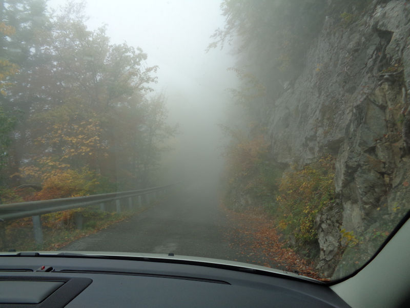
The northern end of the Hongrin valley is reached from the village of La Lecherette near the Col des Mosses, but the southern end leads steeply a vertical kilometre up from Aigle on the river Rhône to the village of Luan and a barrier -- beyond which public traffic is permitted up this one-lane road through the cliffs on weekends from 1 June to 31 October as well as on any summer weekdays when the military is not shooting (according to this schedule).
The tiny road is closed, and usually seriously snowbound, in the winter, but on allowable days cars can proceed up past Luan in the first 15 minutes of each hour (down in the third 15 minutes). In winter, avalanches from the cliffs above cover the road and seem to loom out over the abyss below, delicate work for cross-country skis.
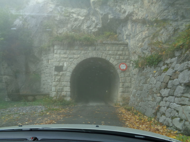
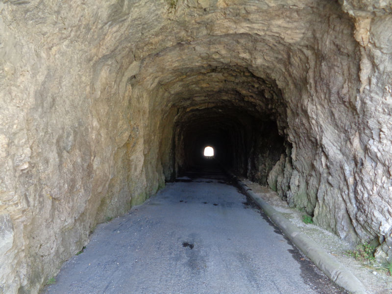
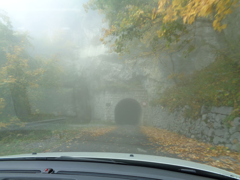
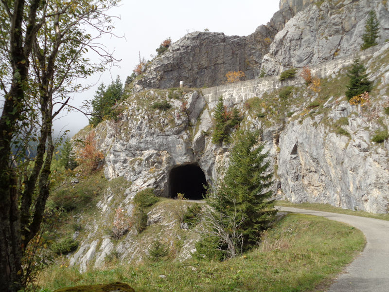
The 350m tunnel of Sarse, also called the tunnel of Les Agittes, has a number of galleries hewn out of the cliff from which you can stare straight down at the river Rhône 1,000 metres below.
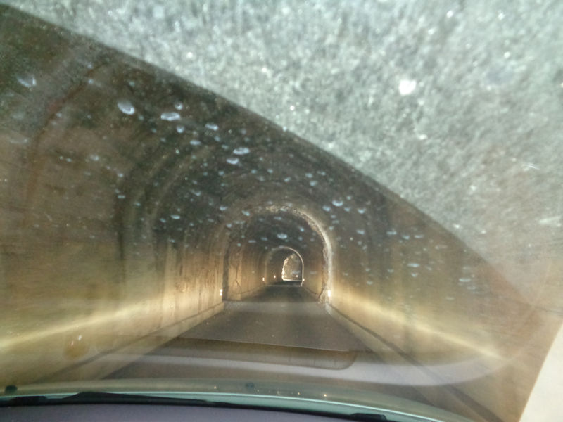
The trek from Leysin, over Pierre du Moëlle and down towards the lake at Jaquemin, along the road (when the army hadn't already cleared it), through the tunnel and down to Luan, then 400 vertical metres up the ski slope at La Praille and on a tiny path across to Prafandaz above Leysin village -- or in the opposite direction -- required 8 hours on skis in the best conditions and sometimes 9 or 10 hours, so in either direction the trudge along the tunnel's sloping iced-over floor was accomplished in the dark. A normal time for running the same route was normally three and a half hours in either direction.
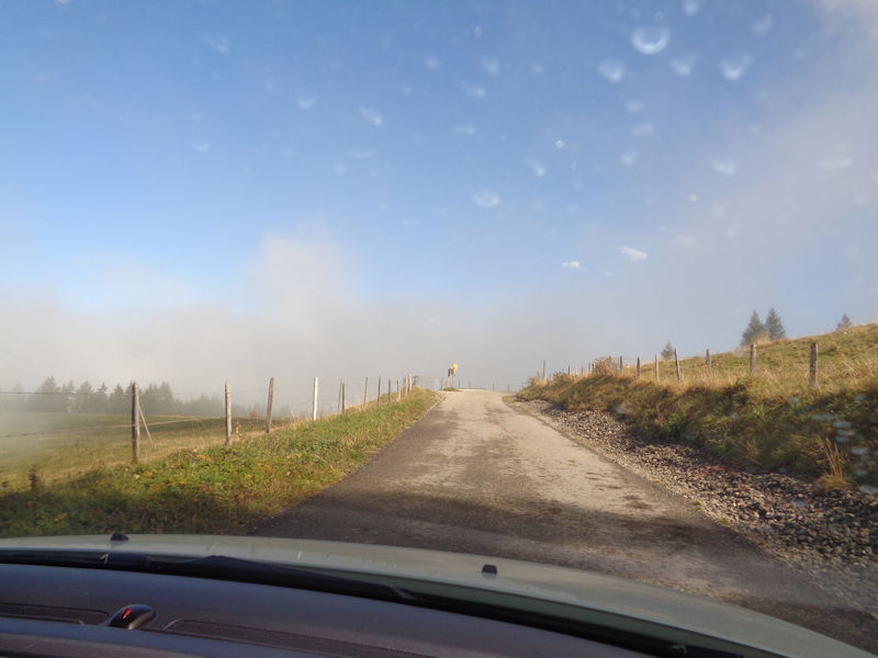
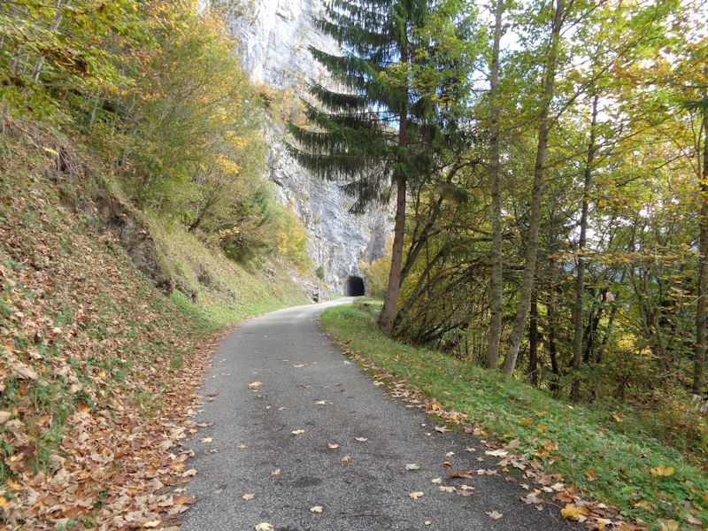
Emerging from the tunnel at the pastures of Les Agittes at 1550m altitude, and a fine day
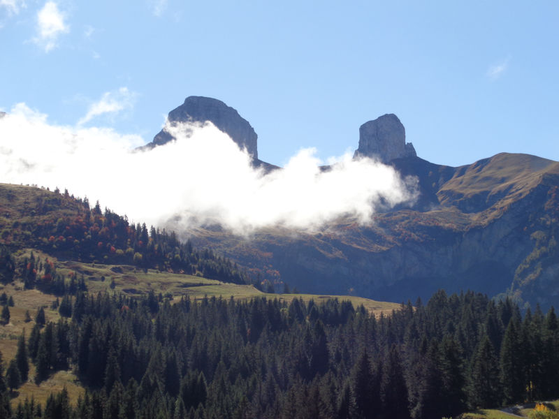
The backs of the Leysin Tours -- the Tour de Mayen (l.) and Tour d'Aï (r.) seen from near the Grand Ayerne on a military-free Sunday in early October. There is a hiking path down the ridge on the far right and back across the centre of the photo to the Grand Ayerne -- with dissuasive sentries posted during the army's shooting days. [A favorite running route came over that ridge, through here and up the next ridge, down and up again over the Rochers de Naye, and down the front of that to Montreux, between 4 1/2 and 5 hours.]

The back side of Sur les Truex just northeast of the Tour de Mayen (snowcaving country)
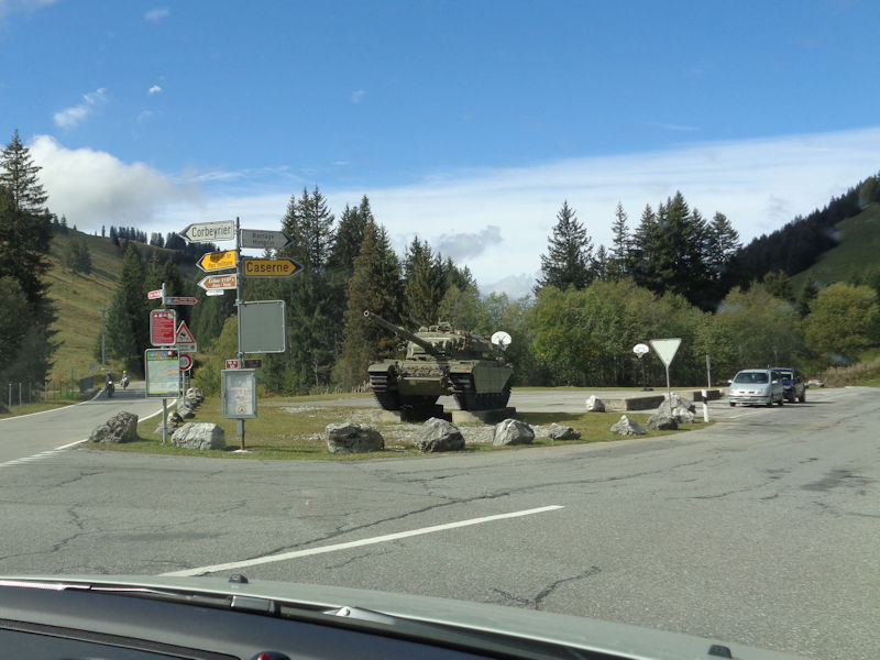
At the Lecherette end of the road through the Hongrin valley -- we're turning up the little road down the far side of the lake to the Barrage d'Hongrin.
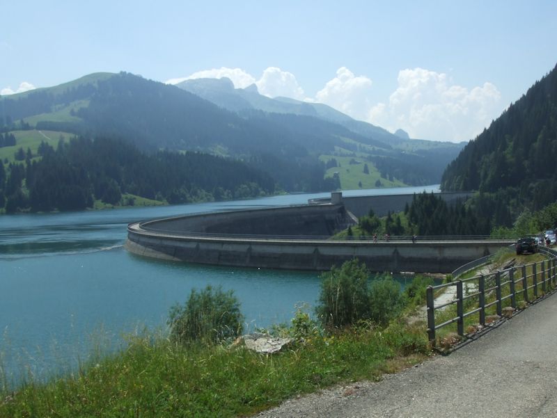
The two arch vaults of the Hongrin Dam at 1252m [a photo taken in 2006, but it still looks the same]
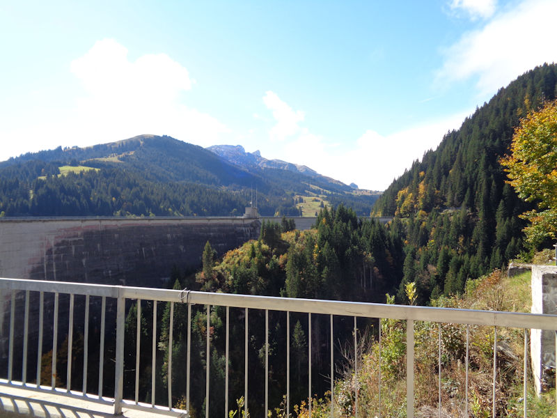
The Barrage of Hongrin -- the reservoir serves a power station in Veytaux on Lake Geneva (one's been told that water is released down pipes to the turbines below in the daytime, when electricity rates are high, then pumped back up during the low-rate nights)
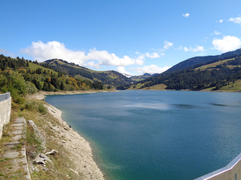
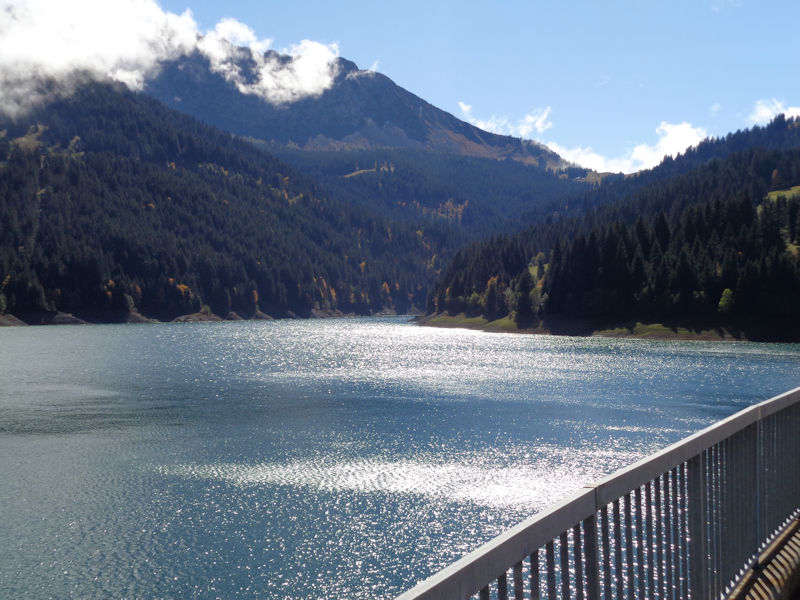
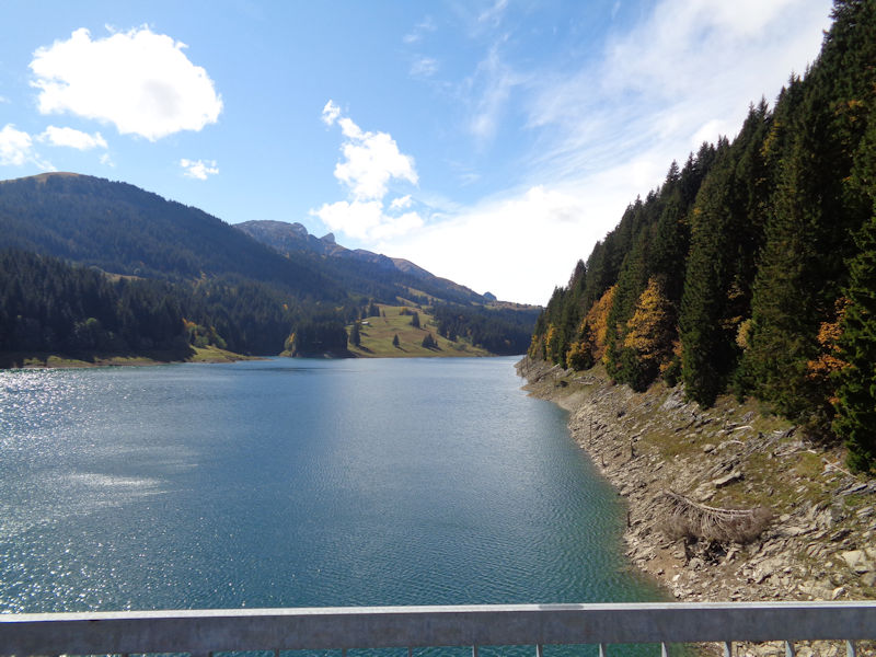
From the dam looking northward up the lake towards La Lecherette; the river rises at Lac Lioson near Pic Chaussy in the mountains just above the Col des Mosses . . .
. . . and then, interrupted by the dam, it continues down the Hongrin valley and gorges to Montbovon where it joins the river Sarine, then the Aare to the Rhine, and thence to the North Sea. (The water piped down from the reservoir flows into the Rhône watershed instead. The Col des Mosses straddles the Rhine and Rhône catchment areas.)
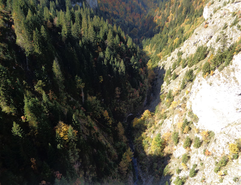
The course of the much reduced Hongrin river, 130m below.
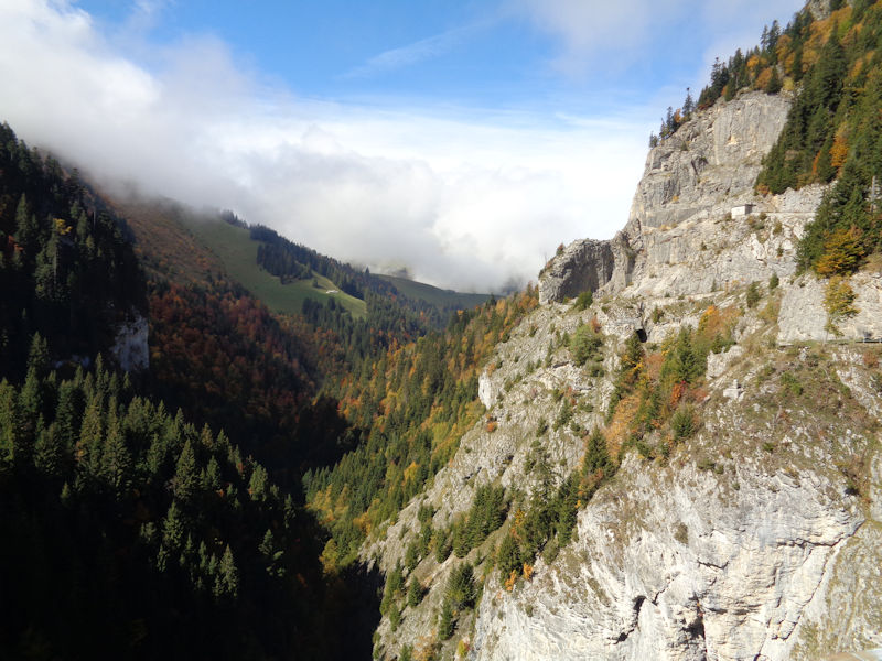
Looking southwestward up the Petit Hongrin tributary, towards the Leysin mountains
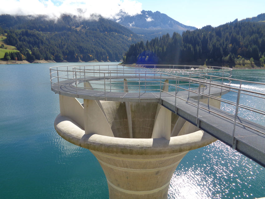
Strangely beautiful waterworks
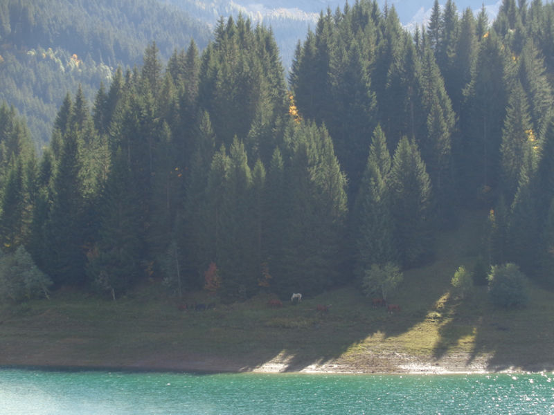
Ghostly horses on the far side
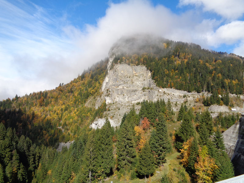
A buttress of cliffs above the dam, in front of the Planachaux (1887m)
The southwest end of the lake at the Petit Hongrin, with the Tour de Mayen on the horizon; there's a tiny path above the lake up in the trees to the right.
A tunnel from the dam down the lower Hongrin valley, Allières, and eventually Montbovon; this was formerly part of a scenic running route from Leysin, over the mountains and across the Petit Hongrin, a tiny path above the lake to the dam, down this road to Allières and up to the Col de Jaman, then down the Gorge du Chauderon into Montreux, about 4 hours.
 Dwight Peck's personal website