|
A walk up La Dôle May 2006 A few more photos of La Dôle, with its Cointrin aeroport radar facilities on top, for those who just can't get enough of them.
Dr Pirri trudging along in the forest from Couvaloup-de-Crans, 21 May 2006, anxious to go up La Dôle
We're marching up to La Dôle from the wrong direction, that is, from the west, out of the limestone forest of Les Léseneys
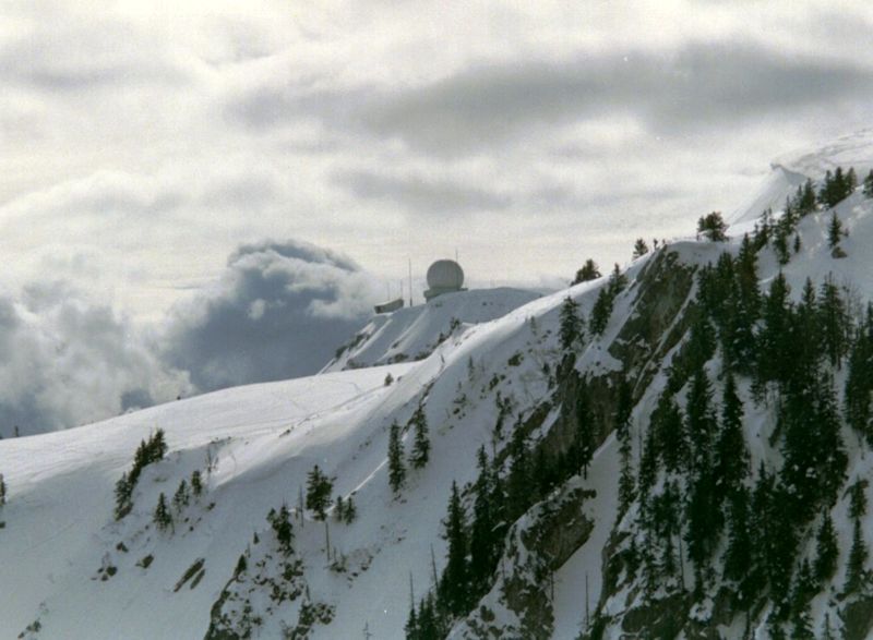
Radar looms. From the southwest
Dr Pirri awaiting the Rapture
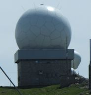
The airport radar installations at the summit (1677m)
The view eastward to the far end of Lake Geneva (Lac Léman), with the city of Lausanne on the left
The Dôle sub-peak of La Barillette, with its telecommunications tower, and the city of Lausanne beyond
The Lake of Geneva, with the Savoie Alps on the horizon and the little lake of Divonne, France, just below.
The Chalet de la Dôle (1439m), 230 vertical meters below us to the east
The majestic city of Nyon on this side of the lake, and the medieval town of Yvoire in France on the far side
Summit stuff in May 2006. The shed on the left is the top station of a supply cable transport.
The Pointe de Poêle Chaud (1628m) just next door
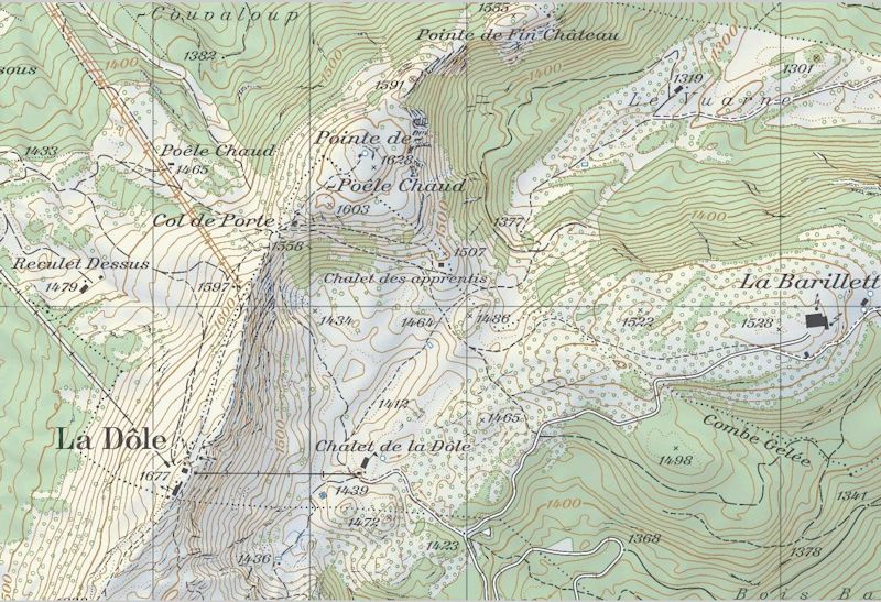
from SwitzerlandMobility (http://map.schweizmobil.ch/?lang=en)
|
 Dwight Peck's personal website
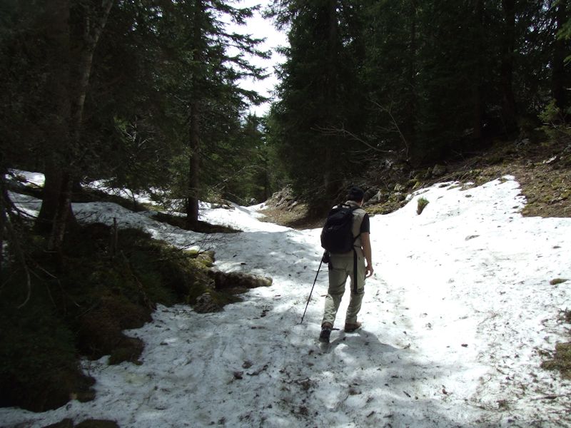


Recent Events
|