|
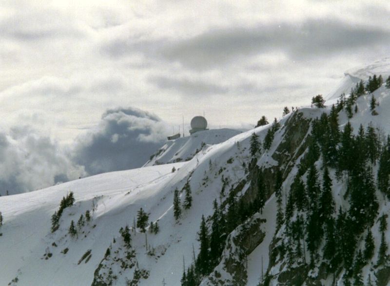
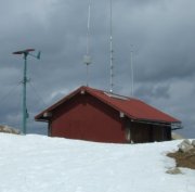
Pointe de Poêle Chaud One of the Jura's answers to the Alps Having already celebrated beautiful Mont Tendre and La Dôle, two of the really nice peaks in the southwestern Jura mountains near Geneva, we turn now to the Pointe de Poêle Chaud. ("Poêle Chaud" means 'hot frying pan'; the farm by that name is at the foot of the back side of the mountain. Who can guess what well-disguised logic lurks beneath that name.) The weather station* on the Pointe de Poêle Chaud (1626m), with La Dôle behind, 2 April 2006 [*I learnt later, thanks to P. Misteli, that this is actually the amateur radio French-Swiss relay station La Glutte]
Looking southwestwards up towards the Pointe de Poêle Chaud, from the Pointe de Fin Château (1556 meters), overlooking the village of St. Cergue, 26 February 2000.
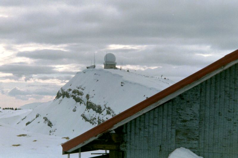
La Dôle and its fancy radar stuff, looking past Poêle Chaud from the Fin Château.
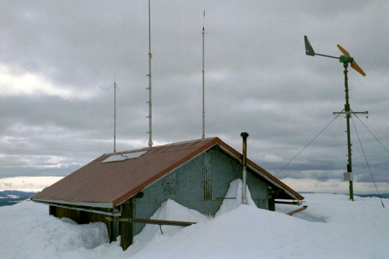
La Dôle, from the radio relay station on the Pointe de Poêle Chaud (1626 meters altitude), February 2000.
The weather station. [Read "amateur radio French-Swiss relay station La Glutte]".
The photographer, with the camera turned the wrong way round, February 2000.
Pointe de Fin Château at the northeast end of the row, April 2006.
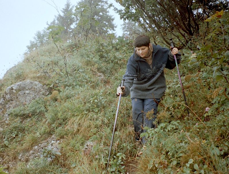
Marlowe Peck descending from Pointe de Poêle Chaud towards La Barillette, September 2001.
Alison Peck just north of Pointe de Poêle Chaud, October 2001. from SwitzerlandMobility (http://map.schweizmobil.ch/?lang=en)
The Pointe de Poêle Chaud in the center, seen from the north, La Dôle on the right, 30 December 2003.
|
Some of our favorites (recommended) |
 Dwight Peck's personal website

