You may not find this terribly rewarding unless you're included here, so this is a good time for casual and random browsers to turn back before they get too caught up in the sweep and majesty of the proceedings and can't let go.
A scenic walk back up to the 'Painted Chalet'
Properly, the Chalet à Roch Dessus

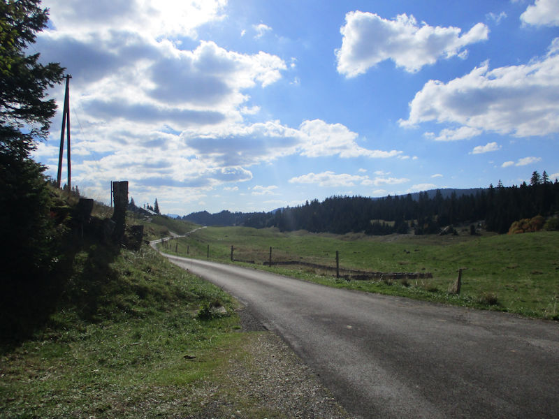
Here are a few photos of an afternoon walk in one of our favorite places in the Swiss Jura mountains. We take our leave from this cute little Volvo ('Sven') near the driveway to the Trois Chalets in the Combe des Amburnex, at about 1300m asl, not far from the Col du Marchairuz above Lake Geneva. 28 September 2018.
This is a scenic traverse northeastward under the cliffs along the old track called the 'Chemin des Illanches'.

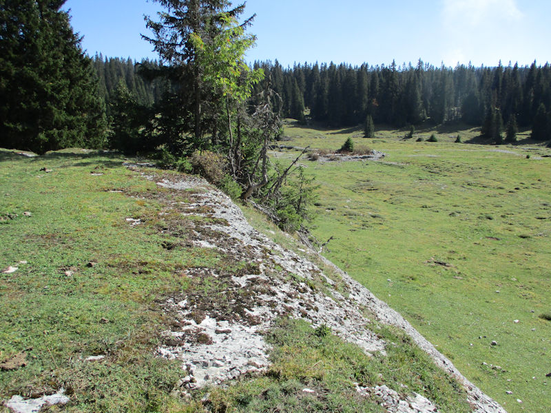
Rough ground above the trail

Large rocks with trees growing on them. And Joe.
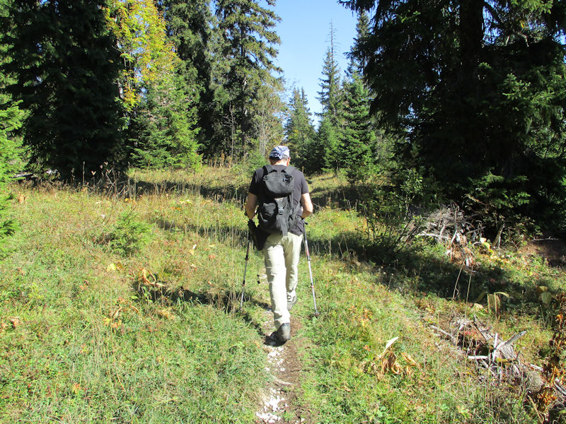
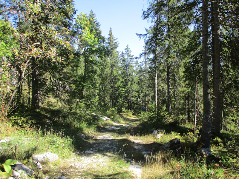
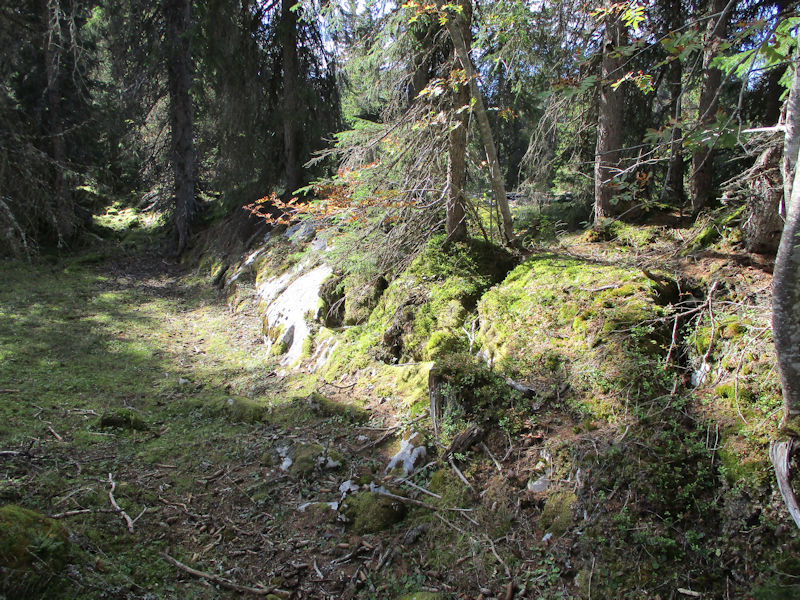
A gentle kilometre along the Chemin des Illanches

Emerging onto the pastures at 1340m just north of the Sèche des Amburnex

Preparing to leap over the stone wall in a single bound . . .

. . . or seeking any alternatives that might be available.

Gently uphill through woods of the Bois des Citernes . . .

. . . and out onto another fine stretch of pastures running southwestwards
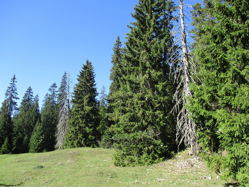
Dead trees. Sad.

Pastures of the Chalet à Roch, at about 1400m
.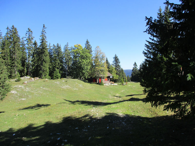
A vacation cabin, Le 'Ranch' de la Pierre à Lièvre, at ca. 1420m

The last stretch to the Chalet à Roch Dessus, 1460m. There is also a Chalet à Roch Dessous a kilometre or so down the hill towards the French border to the northwest.

We walked up here from the other direction last May, and there are pictures of some of the chalet's wall paintings there. We're only about 600m NE along the same ridge from the scenic lookout spot called the Vue de Genève at 1494m.
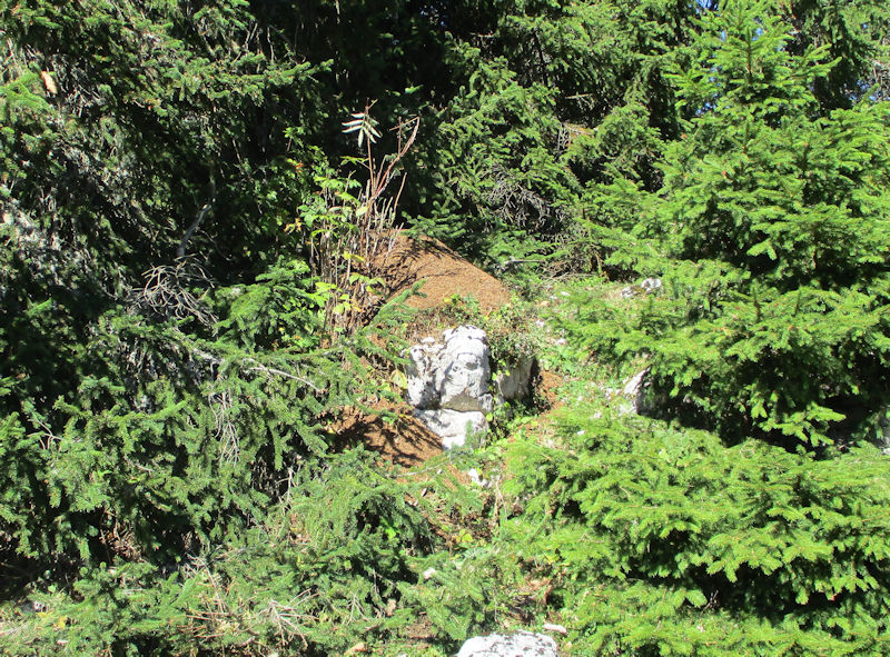
An opportunistic anthill sprawling all over the limestone rocks
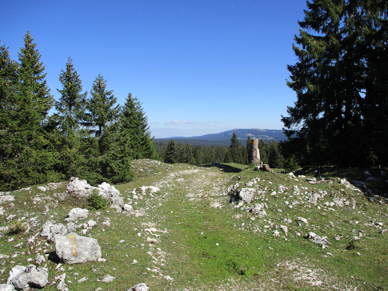
Back down the way we've come up. The Grand Cunay is in the distance.
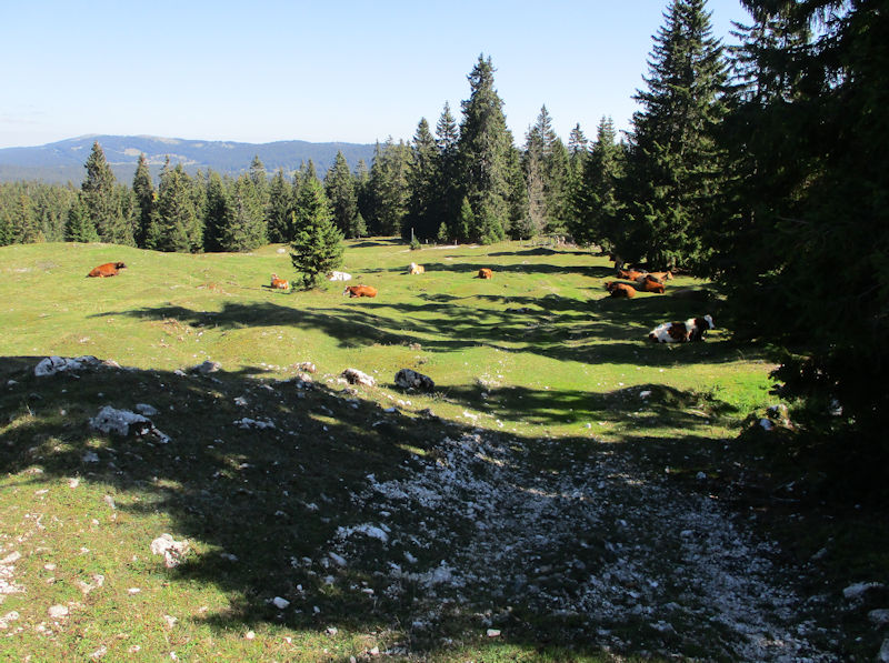
Cows at their leisure

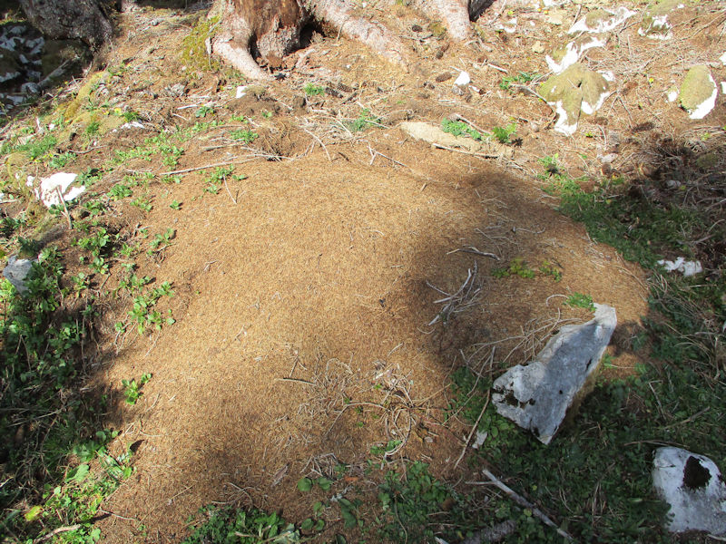
Another odd anthill, shaped less like a hill than like an omelette

We're passing down into the southwestern end of the long Sèche des Amburnex, hoping that the fire on the far side of the combe is being monitored by the foresters.
The SW end of the Sèche des Amburnex at 1300m asl

The foresters and their huge machines seem to be everywhere these days. Making a big mess.
A little bushwhacking to cap off the afternoon
Another strangely flat anthill . . .
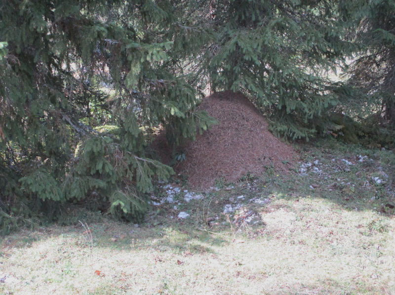
. . . and a more conventional one (this area is said to have the highest concentration of wood ant anthills in Europe, subject of two David Attenborough nature shows)

The Combe des Amburnex

Plodding out on the paved road at the end of the day
 Dwight Peck's personal website