You may not find this terribly rewarding unless you're included here, so this is a good time for casual and random browsers to turn back before they get too caught up in the sweep and majesty of the proceedings and can't let go.
More memory tests in the forest of Grande Rolat

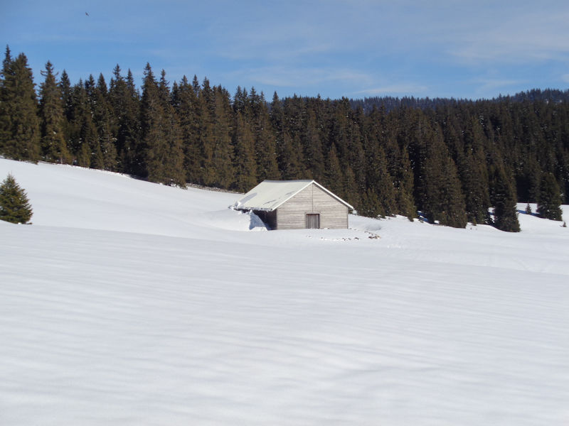
We're leaving from the little layby at 1350m on the road from the Col du Marchairuz down to Le Brassus in the Vallée du Joux in western Switzerland. That's the refuge called La Pierre Tournante, just near the main road.
Our day's objective is more or less to bushwhack our way to the Refuge de la Pierre à Ecusson, testing our memory for landmarks as we march along to make sure that we don't get horribly lost. 14 March 2018.

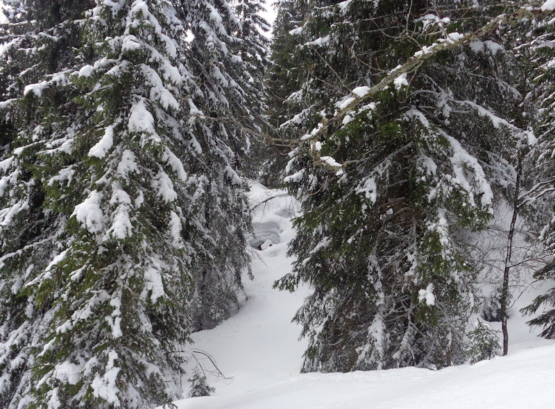
This looks as good a place as anywhere to begin whacking the bushes.

Two minutes out and we've already lost our guide. We'll pick up the pace as required.

There he is, Dr Joe, contemplating whether we really need to go way down in that depression and then have to exert ourselves unnecessarily getting up the other side.

The solution: skirt the depression westward and try to get around it.

We should have said 'the potential solution'; it might not work out well at all.

Reconsidering our options

Lest we spend the rest of the day trying to get round our depression -- needs must!

Not an attractive proposition

After a brief pause to discuss movies and actors from the 1930s and 1940s, we persevere.

As foreseen, at some point we have to get back up the other side.
.
Our guide has found a likely way up the slope . . .

. . . and pursues it vigorously.

We feel that we can find a preferable way, but clearly this isn't it.

We'll do much better to follow our guide. (That's frequently good advice.)

Now for half an hour wandering across the central plateau of the Grande Rolat forest, half-seeing hints of places we've visited before, but of course most of it always looks the same.

And then, memory exults -- we've stumbled randomly upon a landmark, a stone wall and passage through it with a red '4' on a nearby tree. We're saved.

Over the wall, exuberantly

We vividly recall that an unmarked path leads down southward from the gap in the stone wall, and we just need to locate that.

It's got to be here somewhere. If memory serves.

At last, our path with a vestigial snowshoe track from earlier in the season.

At least for the moment we know where we're headed.

Our way forward is clear. We anticipate a grand success.

Not this way though. We regroup and search for clues.

There it is, lovely.

Equipment failure. Packed up snow has caused one of Dr Joe's snowshoes to explode -- but with characteristic ingenuity, we've soon repaired it.

We've just passed the signposted hiking path that comes up perpendicular to our intentions and goes out to the pastures of the Sèche de Gimel -- but we continue straight ahead another 300m or so . . .

. . . to the Refuge de la Joratte, at the top of a farm and forestry road up from the northwest.

The Refuge de la Joratte. We know now where we are but must still find the half-remembered next leg of our journey.

Trudging along the farm road about 400m until . . .

. . . we've found our unmarked path to the southwest. (We're skirting, westward, off to the left here, a large area of some of the most viciously irregular limestone floor in the area, between here and the Chalet de la Croix.)

Pausing amid reminiscences of TV shows from the 1950s, it's necessary to enjoy the scenery, perfect weather, and absolute silence (except for the reminiscences).

The path is not always entirely obvious, but instinct enters into the equation, sometimes helpfully.

A passerby

It looks a bit counterintuitive, but (if memory serves) our path does continue right through here.

And this little uphill also seems familiar.

And another wall and gateway through it confirms our guesswork.

Et voilà, we come upon a hearty snowshoe track up the farm and forestry road from Le Cerney -- our objective can be no more than 15 minutes away.

And there it is, the Refuge de la Pierre à Ecusson, in the depths of the Bois des Citernes.

This was our objective for the day, and we're here. Hooray. Now what?

Short of retracing our wayward steps, we can follow the beaten track out onto the pastures of the Sèche des Amburnex, but that's continuing for a time in the wrong direction, or we can follow this single ski track along an unmarked and rather deceptive path back towards Joratte, in the hope that this skier knew what he was doing.

We set off after our lone skier from earlier today, full of confidence in his or her local knowledge of the terrain. And after he'd only once lost his way and put us in an untenable position, we were able to follow his corrective track up the forest to the path of righteousness. (We've been along this path often, and in winter it's not easy unless some smart local person has preceded us, which we've discovered more than once to our rue. The off-path limestone countryside around here can be somewhat daunting.)

Our skier has brought us back near to the Refuge de la Joratte, and this looks a lot like the unsignposted trail that we need next to rely upon.

There's almost unmistakably a path here, and both memory and optimism tell us that this is the right one. (We don't want to end up in France.)

And it is the right one.

We've burst out onto the wide pastures, and that is the famous Couvert de la Sèche de Gimel.

Just last week the local newspaper La Côte had a cover story about a hiker who'd got lost out here, got the emergency services on his cellphone, and was able to send them a photo of this shelter, which they recognized at once and rescued him 'with dogs' (why the dogs?). The newspaper had a nice photo of this end of the pastures with a circle drawn around the Couvert.

Notice that the fellow was bloody lucky to get a cellphone network up here.

Looking southwest from the Couvert de la Sèche de Gimel, with a prominent snowshoe track moseying along the length of it.

That's just our snowshoe track -- good snow for walking in, it is, too, and for trading Trump jokes.

The Couvert de la Sèche de Gimel

The length of the Sèche des Amburnex, over 2km long. The wooded depression in the middle is a protected area for wildlife.

Ready to leap over the wall


We've regained the little farm road that leads from the big pastures back to the Marchairuz road -- it can nearly always be counted on, in winter, to have an impressive snowshoe track on it; the groups come out in good weather with 20, 30, 60, a hundred of them in a line, having good healthy fun in the out-of-doors.

Passing the Refuge Intercommunal -- we've even come upon, late in the day, lines of high school age boys and girls in street clothes and street shoes in the calf-deep snow, carrying bags of food and ten-packs of beer, to spend the Saturday night, laughing merrily.

Step around that.

Our predecessors on the track have branched off to the big carpark up the road, but the vestigial track can't be missed.

Everything seems to take longer towards the end.

The Pierre Tournant hut and back to the car . . .

. . . and back to Col du Marchairuz to sort out the gear and the cars.

Dr Joe is liberating his stuff from that cute little Volvo.

The thermometer temperature is presently about 2°C, and these guys are really dedicated. (If they go back down to the valley at 40 or 50kph, the wind chill will probably be about 273°C below zero. At which molecular activity ceases.)

Our guide has taken responsibility for his own drive down the mountain, and so shall we.

The pleasant road down to pick up the autoroute in Morges.

The autoroute near Morges -- the famous 'Morges Shuffle', rush hour on a weekday.
