|
 Dwight Peck's personal website Dwight Peck's personal website
Winter 2016-2017
In the awful, hopefully only, Year of Trump
You may not find this terribly rewarding unless you're included here, so this is a good time for casual and random browsers to turn back before they get too caught up in the sweep and majesty of the proceedings and can't let go.
A few views of Mont Tendre in October
We've been here a thousand times, but it's still fun.

A bright, sunny day as we set off for a quick march to Mont Tendre and back, 2 October 2016.

Dr Joe marveling at the ugliest tree in Switzerland
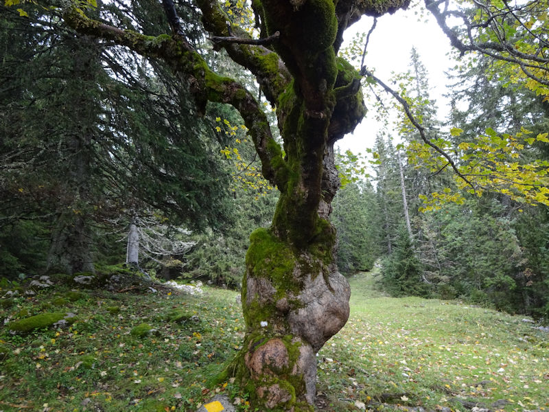
Don't get too close.

Passing the farm at Druchaux

Passing the Aurora cabin, presently occupied for the weekend
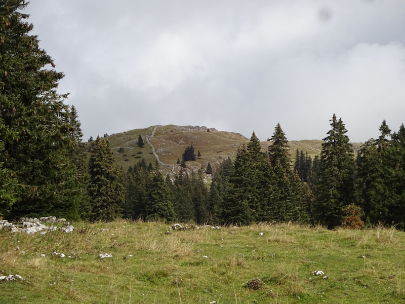
The southwest end of the long Mont Tendre ridge. The sun has disappeared; the wind is rising.
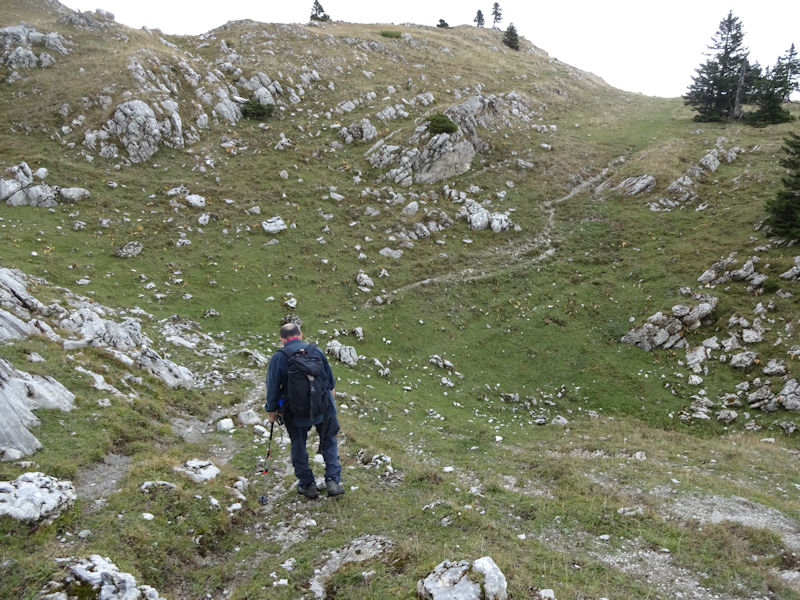
About halfway along the ridge of the mountain
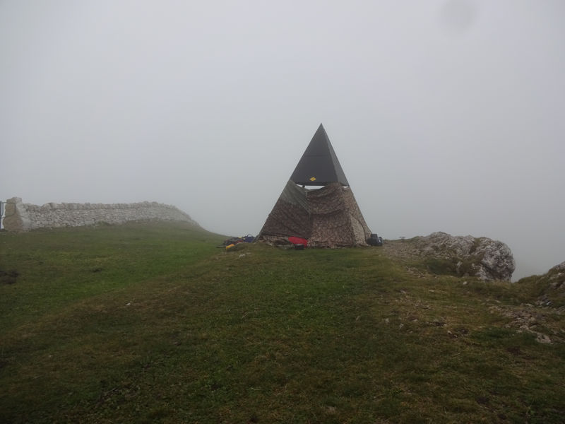
The summit pylon on Mont Tendre, 1679m, wrapped up like a Christmas parcel with military camouflage rain tarps.
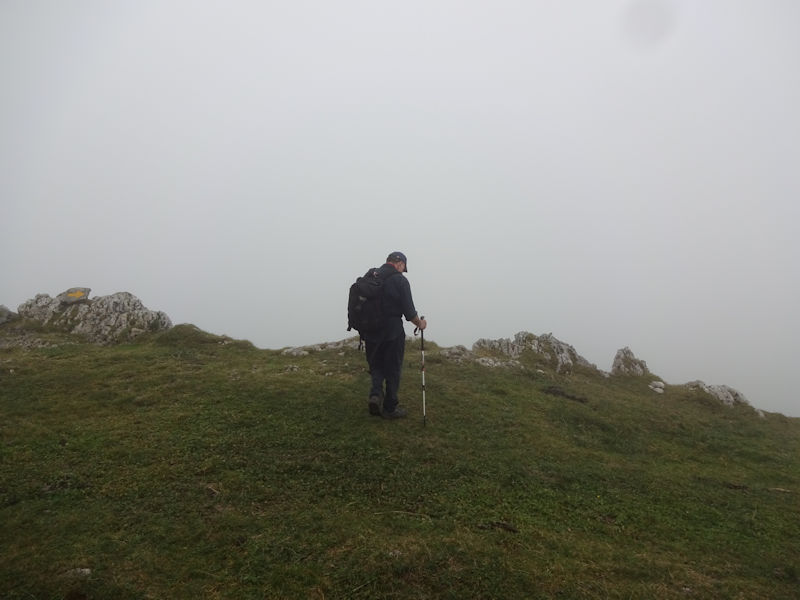
The weather has deteriorated, obviously, and sheets of rain are on the way in moments. (By a quick count, this is slightly more or less one's 300th walk up Mont Tendre.)

By the sounds of it, the kids are having fun in their jury-rigged shelter.

It's got cold very fast. Some other hikers are bolting for the three-sided cow shed just under the summit.
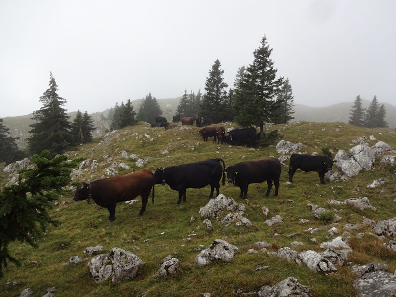
A bovine checkpoint. We'll work our way around to the side.
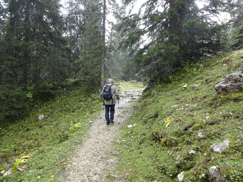
We're on the Chemin des Crêtes du Jura now, going towards Grand Cunay, direction Col du Marchairuz.

The newish back-up radar installation for Cointrin Airport (Geneva), 1609m -- it was scheduled for Mont Tendre with no period for public comment, but public comment ensued anyway, convincingly, so they moved it over this away, towards Grand Cunay, on an open hilltop called Pierre à Coutiau on the map.

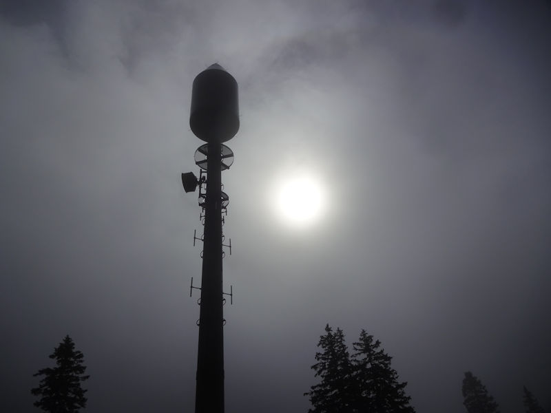
It doesn't blend in well with the natural landscape, but it's rather beautiful in its own way.
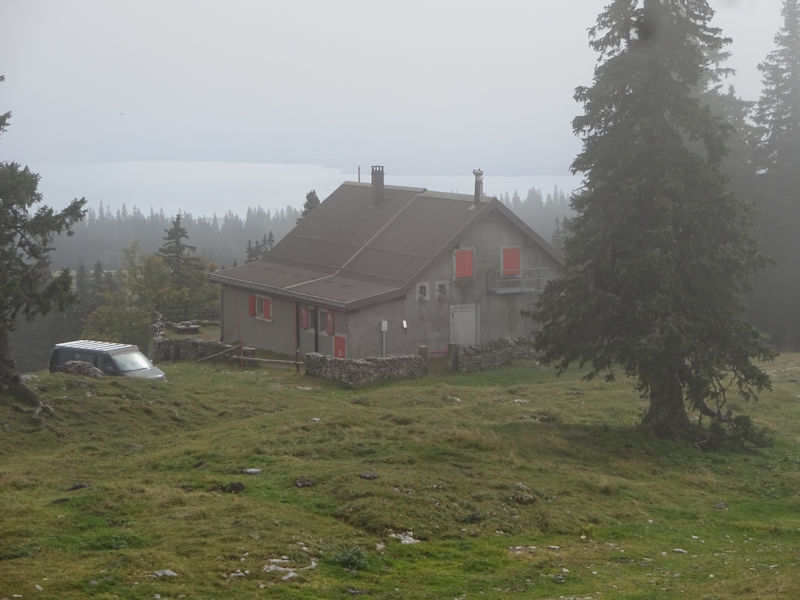
Just near the airport tower, this is the Alpine Ski Club (CAS) Cabane du Cunay, with Lake Geneva (Lac Léman) behind.
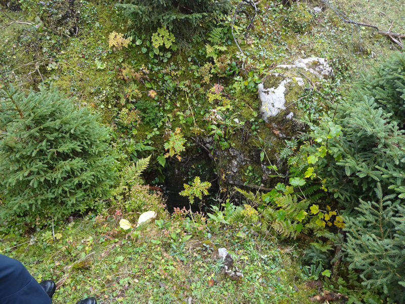
Way off the beaten track, amongst the holes in the landscape

Bushwhacking down into the land of confusion off the northeast end of the Grand Cunay summit
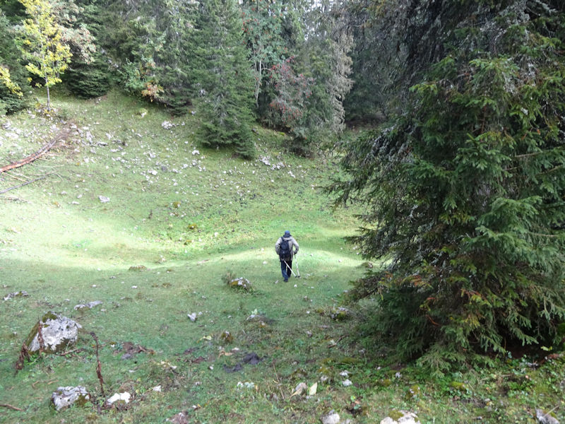
A little bowl, about 1540m -- now to find a way out of it.
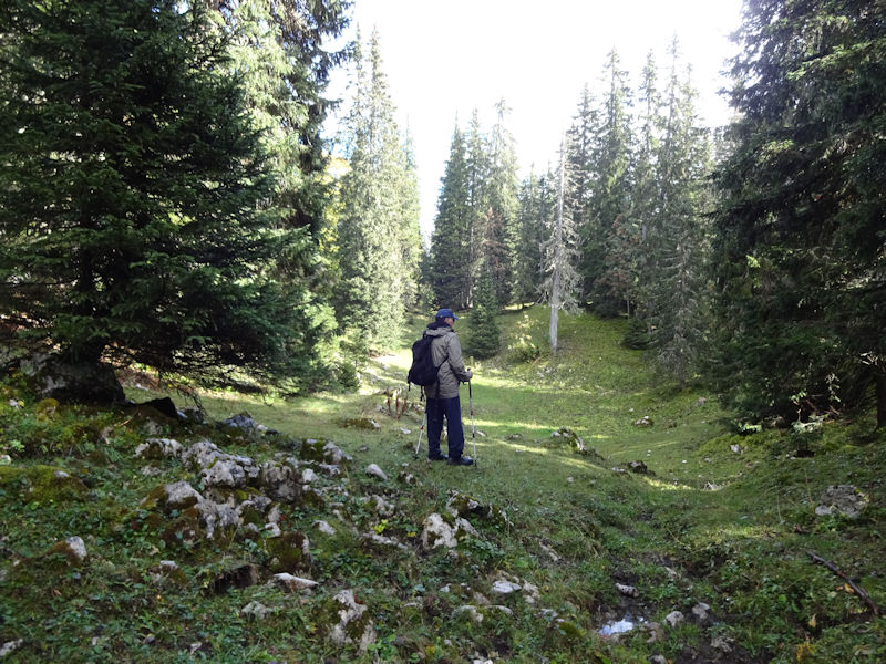
Taking stock (i.e., lost)

A little more bushwhacking

If memory serves, that is the Route de Montagne (and the car) just up the hill.

 Feedback
and suggestions are welcome if positive, resented if negative, Feedback
and suggestions are welcome if positive, resented if negative,  .
All rights reserved, all wrongs avenged. Posted 12 November 2016. .
All rights reserved, all wrongs avenged. Posted 12 November 2016.
|
 Dwight Peck's personal website


