You may not find this terribly rewarding unless you're included here, so this is a good time for casual and random browsers to turn back before they get too caught up in the sweep and majesty of the proceedings and can't let go.
Renewing our acquaintance with some other favorite local walks
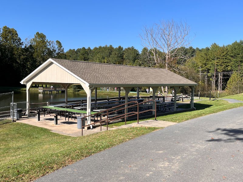
8 October 2026: This is the Wilson Pond in Fisherville, Virginia, part of the local Star Trail, a pleasant place to stroll round and read on a bench if one wishes.

It's on the property of a vast array of public service amenities, like schools, rehabilitation facilities, police buildings, and many etc's.

It is very pretty here, though, and it does have a little outdoor exercise arrangement (over on the far left side)
(what in French Switzerland would be called a parcours santé).
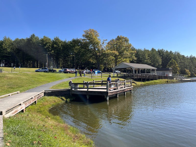
But as it's only a 15 minutes walk round the pond, we tend to save it for special occasions
(like when returning from the nearby hospital for check-ups).
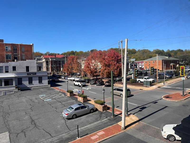
The leaves are finally changing in the Shenandoah Valley (8 October 2026).
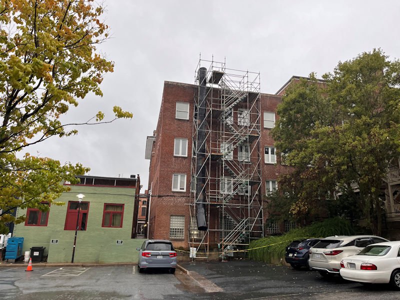
Scaffolding going up on our Old Y condo building -- one of the roofs is being rewaterproofed (ours will be next, next year). All the HVAC thingies have to be temporarily dragged out of the way.
Sherando Lake, a special favorite
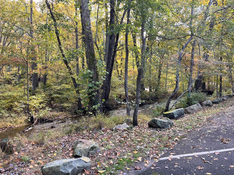
It's 12 October and the 'recreation area' doesn't close until the end of the month, and we've misplaced our entry card, so today we'll have to pony up for our $8 day-pass. This is the Williams Branch Creek entering past the carpark into the lake.
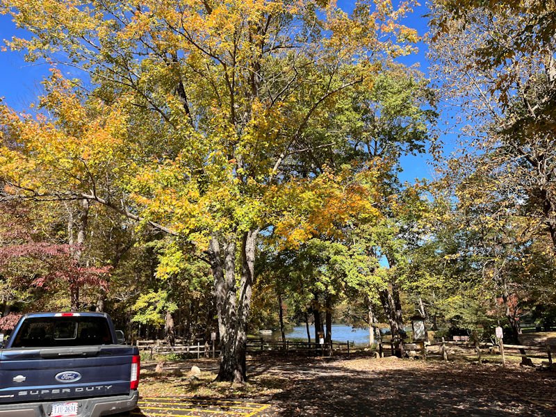
The leaves are changing here as well. Not many places more beautiful than this.

'No Alcohol' allowed, of course, on the beach and picnic areas, but for an afternoon walk, who cares? The sign map shows the vast array of 65 camping facilities on offer here.
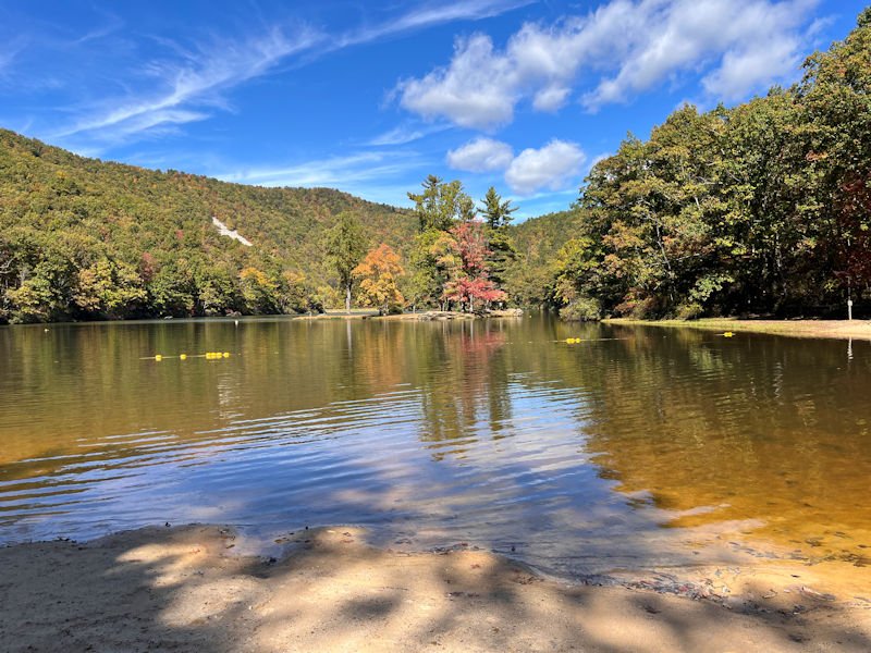
Traversing the beach area, looking at the only island in the lake, and the scars of former mining slag up on the far mountainside.
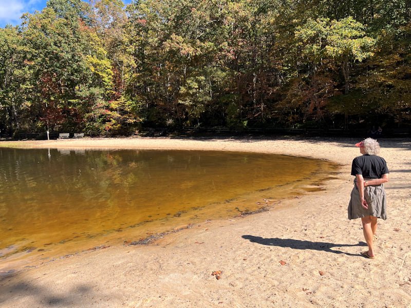
Our preferred reading benches on the far side, on our way to . . .
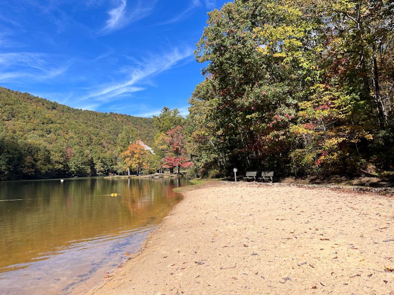
. . . the lakeside walking trail, which starts . . .
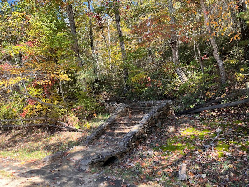
. . . here.

The lakeside trail, over to the dam and up the western side of the lake, normally takes about 45 minutes of casual walking, though we're anticipating a little longer this time.

The lovely little island
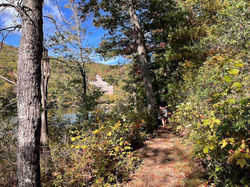
Normally we take the 'cliff trail' instead, up above us here, which is more interesting and takes somewhat longer, but unfortunately that's off limits for us for the time being.

Across the dam at the northern end of the lake, with . . .
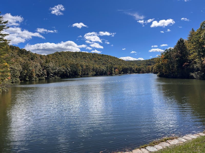
. . . a look back at the 600 or so meters of the lower lake. There is a smaller 'higher lake' at the far end of the campgrounds.
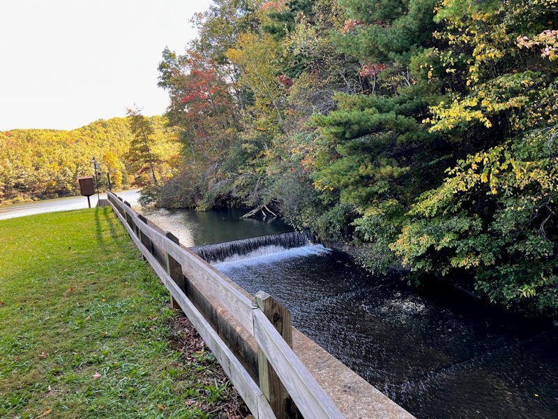
The overflow of the North Fork Back Creek, which joins up with all sorts of other waterways north up the Shenandoah Valley until it graduates into a meaningful part of the Potomac River.
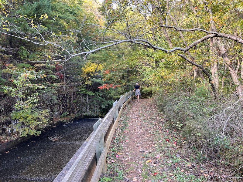
We're descending towards the little concrete bridge over the creek, at a . . .

. . . somewhat less than a casual pace today.
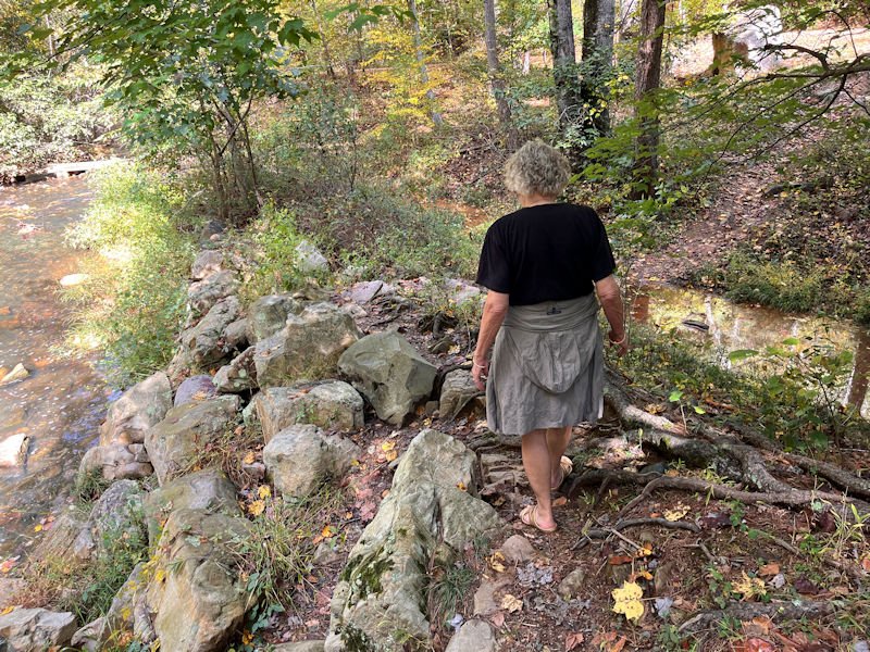
Crossing over the little overflow stream will require a few moments of thought, and planning, and possibly recklessness.
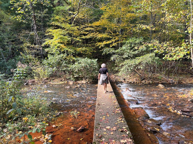
There's our bridge -- we have photos of crossing when the water level was overflowing it; that was fun.
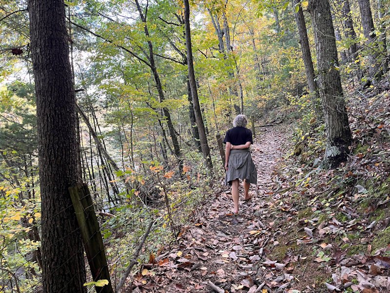
Up the western trail to get above the little cliffs on this side, which here are protected, more or less, by a loose wire fence.
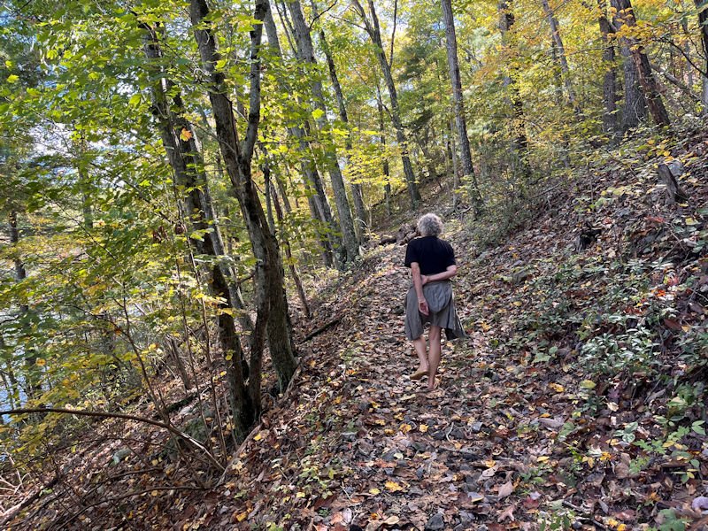
Making progress

Uh-oh!

-- What?! Really??
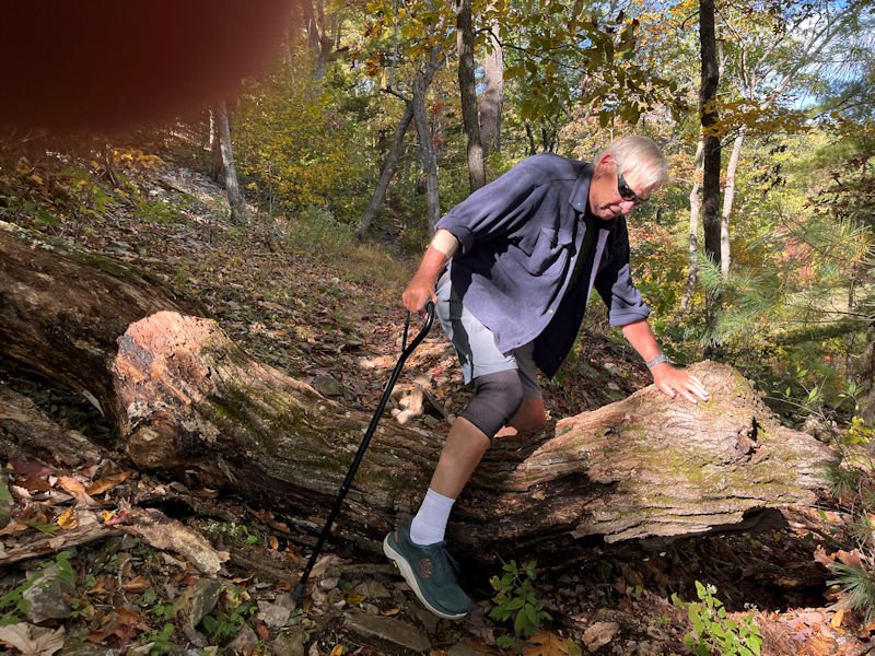
-- Well, okay. Be ready to catch me!
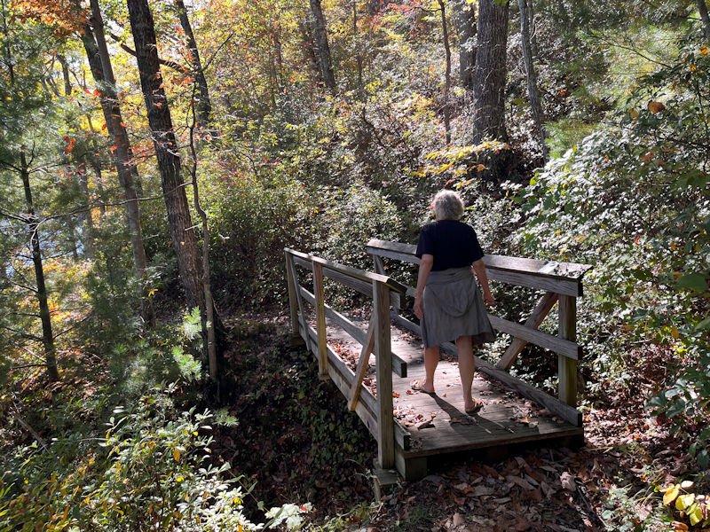
Across the little bridge, attributed to a local boy scout troop some years ago.
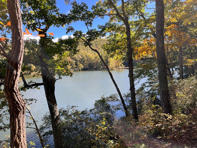
Roughly halfway back along the lake, with the island on the far side
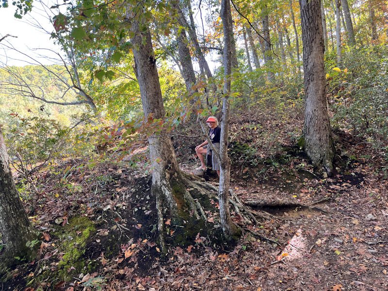
A tricky little bit of the trail, perhaps?
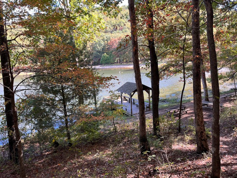
The little fishing dock at the northern edge of the picnic grounds
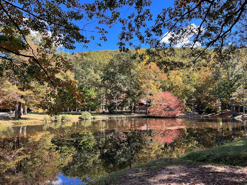
Looking across the Williams Branch's entry into the lake, at the visitor centre constructed in 1936 by the wonderful Civilian Conservation Corps (CCC)
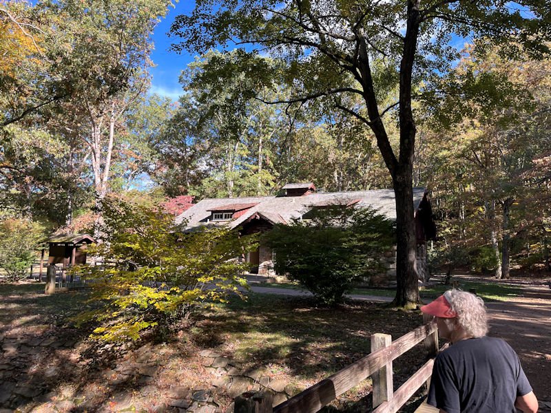
The various CCC constructions throughout much of the USA in the 1930s are all mostly similar and all wonderful.
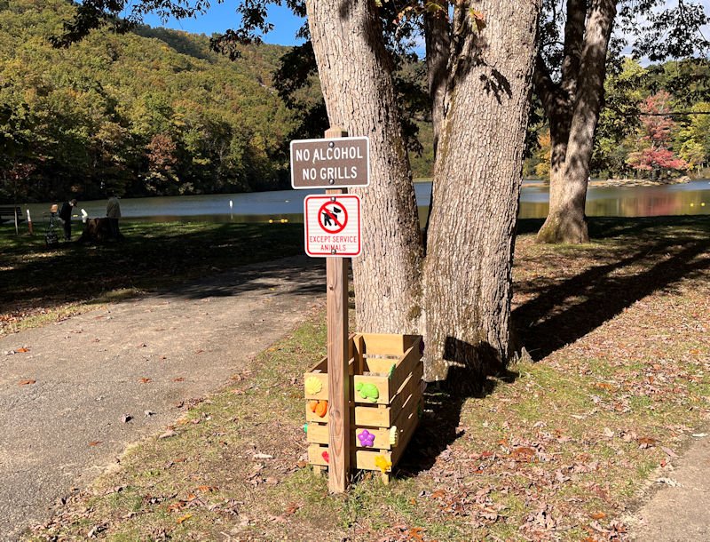
Of course, it's government property, so there are some restrictions, but there are also . . .
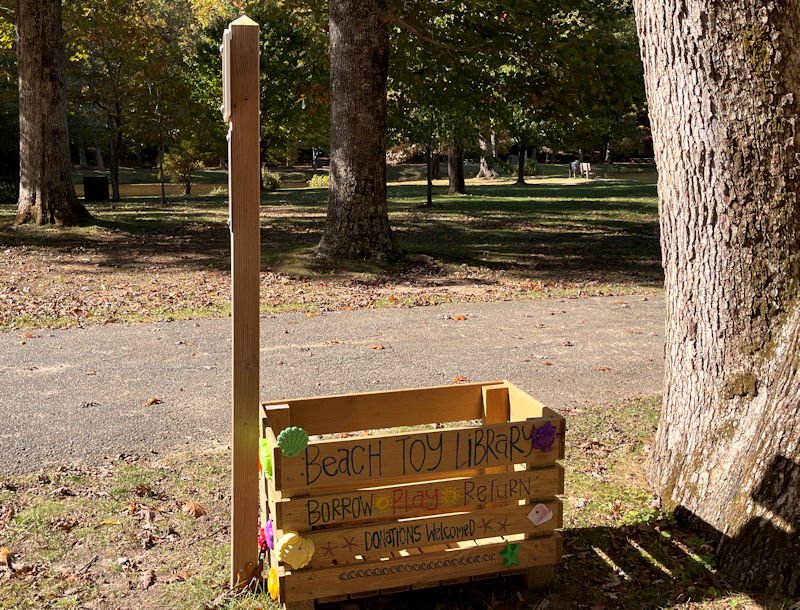
. . . some welcome additions for the families.
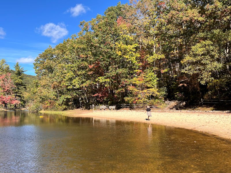
Our walk today consumed nearly an hour, so no speed records this time, but we've still got a little time to collapse on our reading benchs for a breather.

The photographer absents himself briefly for a quick memento snapshot.
And now, back to the Montgomery Hall jungle

Sorely missed, despite our fun-filled Wisconsin summer since last May. The trails are still in good summery condition, before the winter winds denude the place before too long. 13 October 2026
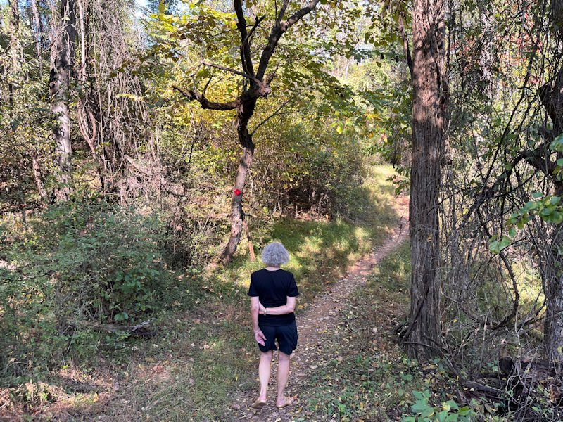
We're actually taking the Yulee Trail today, the shortest and easiest of the three trails, since this is more or less an experimental foray into our near-future.
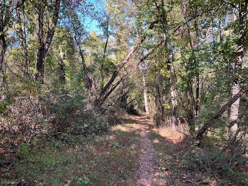
A little farther along, we'll be able to segue over to the Scout Trail to add a bit onto our adventure, and make sure that we don't miss passing over the exciting Black Dog Mountain high point of the park.

Here's the official crossover, if desired, to the Expressway Trail, which winds up and down and back and forth nearly forever. The grand thing about the inspired trail system here is that we can, by a few official and unofficial crossovers, mix and match bits of the three trails to suit our preferences (and abilities) on any given day.
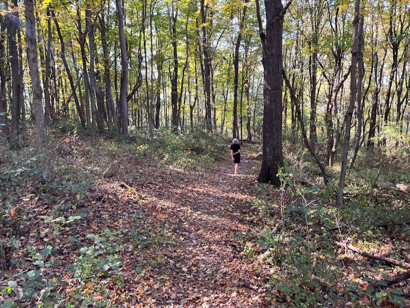
But at the moment, we're still on the Yulee Trail and leaving the most jungly parts for the time being.

That's the wreckage of the fine homemade tepee that some people had made before we came, and which we discovered last year had been destroyed by some other people. For some reason known only to themselves, presumably.
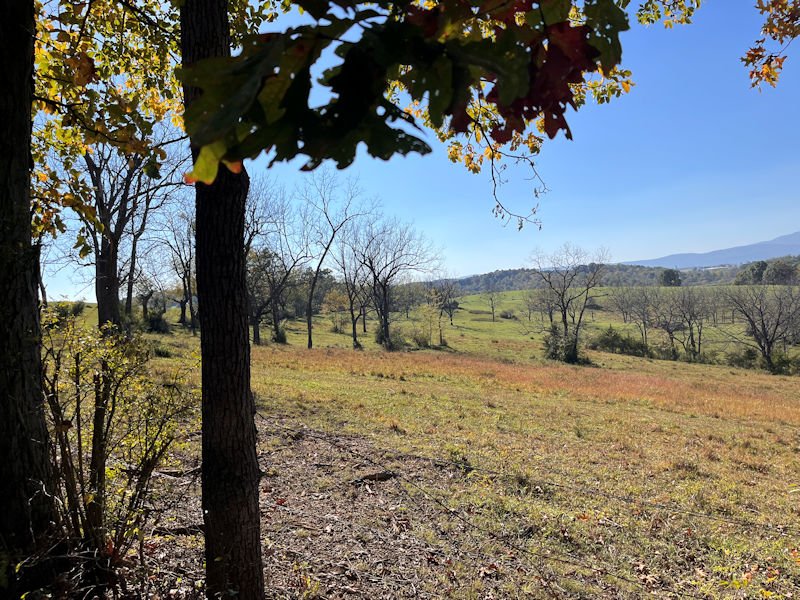
Some of the pasture land just south of the park trails
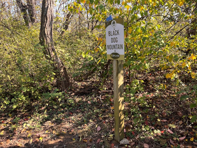
Ah, the Black Dog Mountain. Now we can add today's walk to our sizable list of Black Dog Mountain summitings.
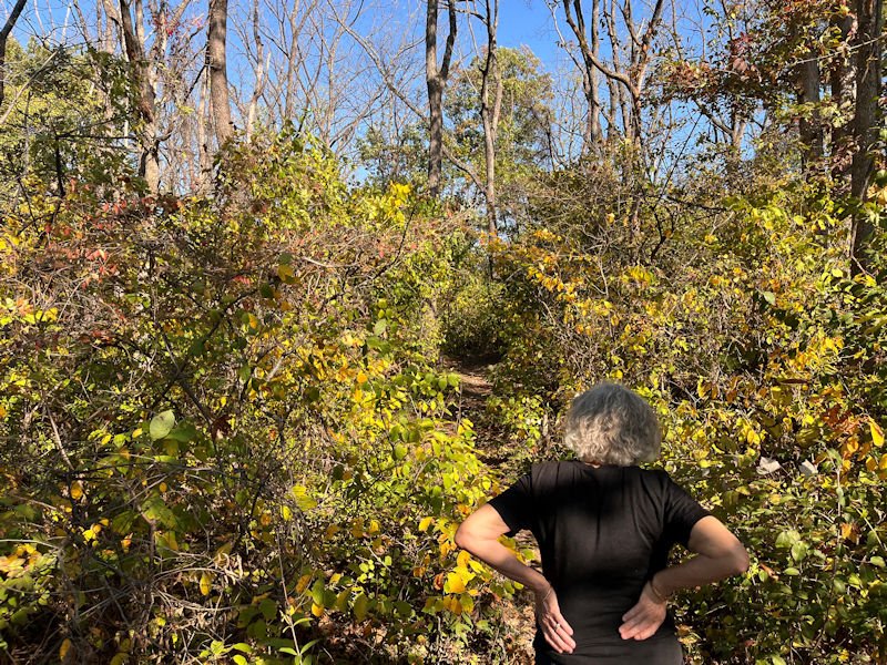
Back into a little more jungle down towards the carpark
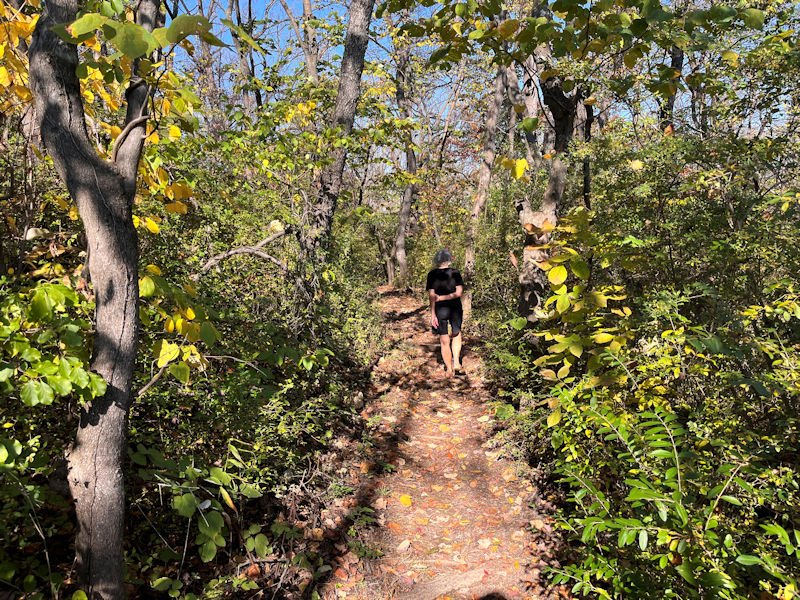
A little more zig-zagging down off the 'mountain', and . . .
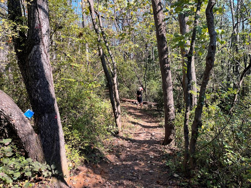
. . . an unofficial shortcut down to the car . . .

. . . here. The piles of whatever are made of 'mulch' that the town provides out here for residents to take home gardening compost for free.

Home again, cats neatly sequestered in their little beds. Choupette is ignoring us.
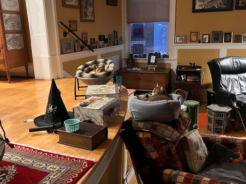
Now she's not. How intense she always looks. Within our acquaintance with her, she has never smiled.
But we understand.
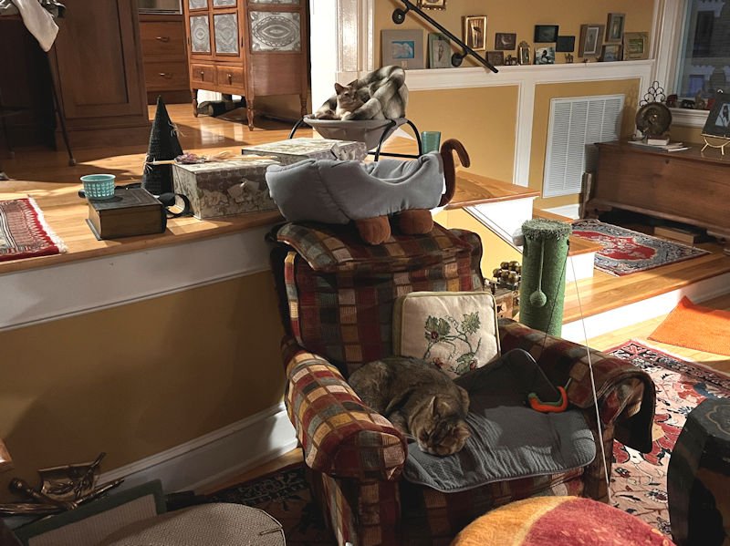

They must have collaborated on this one -- it's not easy to get those old closet doors open even for humans.
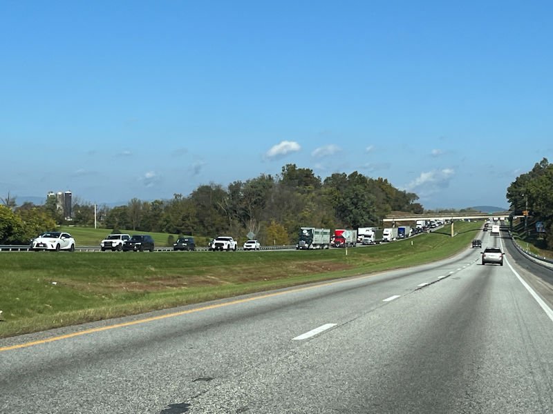
We're on our way north to Harrisonburg, 16 October 2026, to inquire with the Best Buy 'Geek Squad' about problems with our Samsung TV (they were no help at all). But we did get to watch the famous I-81 traffic halfway destroy the lives of everyone driving south. This is (for them) coming up on the very longterm roadworks near Staunton, and this . . .

. . . is much farther north, and . . .

. . . so is this, and . . .
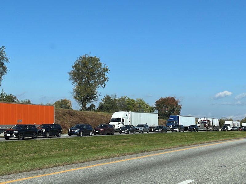
. . . so is this, nearly all the way back to Harrisonburg, a half-hour's drive at normal speeds. We had to GPS our way all round back roads to get back onto US11 and get home in time for bed.
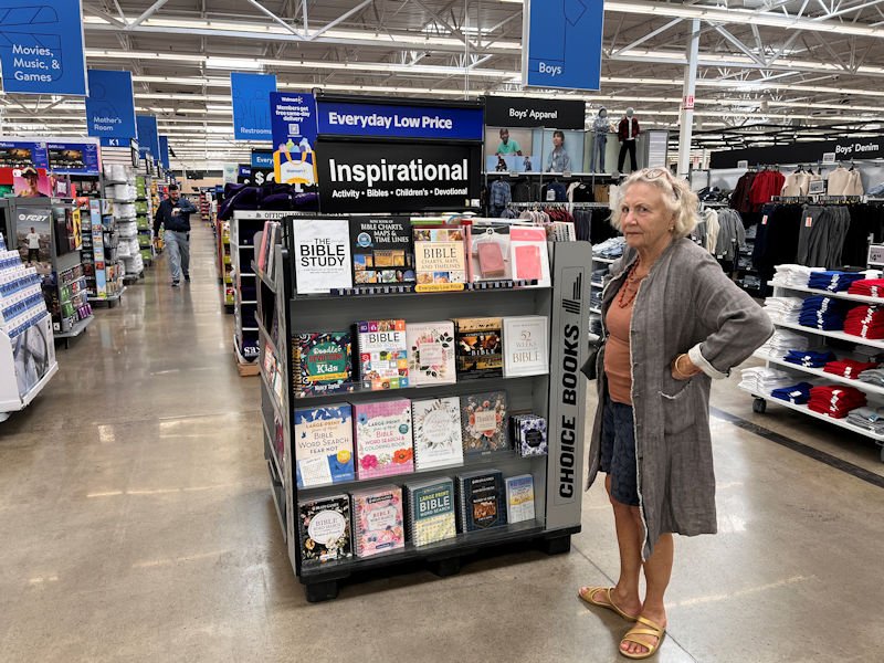
In our disappointment in the failure of the Best Buy to accommodate us, the Walmart across its parking lot was in some ways even worse. (Well, to each his own. Let's get back to Staunton subito.)
Next up: We're not entirely sure about what might be in the near-time offing.





 Dwight Peck's personal website



 Feedback
and suggestions are welcome if positive, resented if negative,
 .
All rights reserved, all wrongs avenged. Posted 16 November 2026.