You may not find this terribly rewarding unless you're included here, so this is a good time for casual and random browsers to turn back before they get too caught up in the sweep and majesty of the proceedings and can't let go.
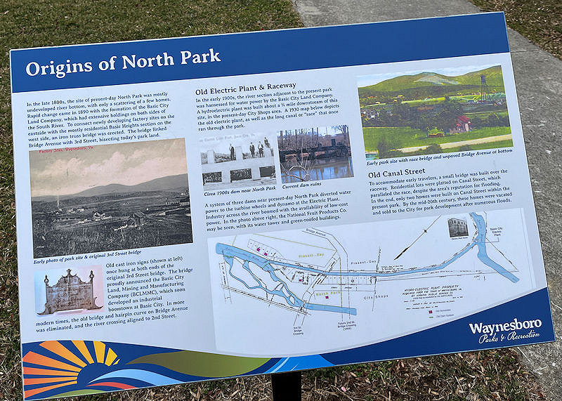
Waynesboro, Virginia, is a small town of ca. 22,000 residents just 12 miles east of Staunton along the I-64 interstate, at the foot of the Rockfish Gap crossing over the Blue Ridge towards Charlottesville. It was settled in the mid-18th century and incorporated in 1834, but it only experienced significant growth in 1890/91 with a rise in population from 1,000 to 2,500 from the development of the 'Basic City' neighborhood along the South River.
The South River more or less begins near Waynesboro (with input from 'our' Back Creek from Lake Sherando) and meanders 97 miles northward below the Blue Ridge Skyline Drive to join the North River at Front Royal to become the Shenandoah River and end up at Harpers Ferry on the Potomac.
The river's also known as the South Fork Shenandoah River.
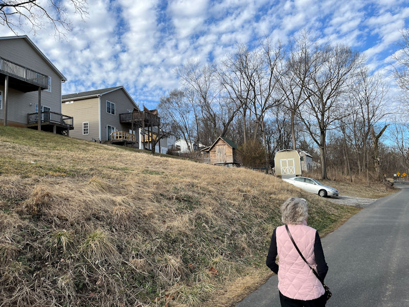
The riverside neighborhoods on this east side of town began to be populated throughout the 20th century by serious industrial operations, principally the chemical DuPont factory (where Lycra spandex was invented), but also a large textile mill and a General Electric factory. From what we've heard from locals here, the city was heavily polluted over the years and was thought to be very unhealthy, but it's evident that in recent years important steps have been taken to clean it up and make it more livable for its residents.
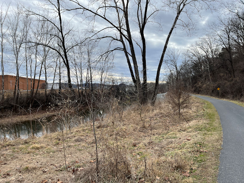
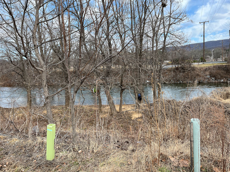
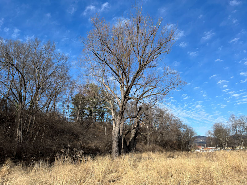
And this Greenway project is surely a big part of that. We've started off from the parking area at the North Park end of the Greenway Trail and are proposing to progress the two miles south along the river (and back again) to see what's what.
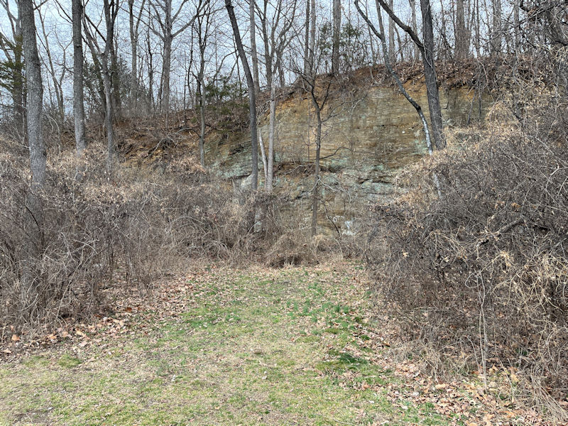
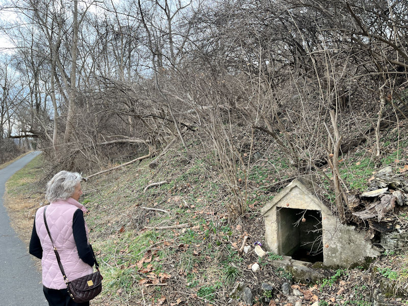
The remains of an old quarry
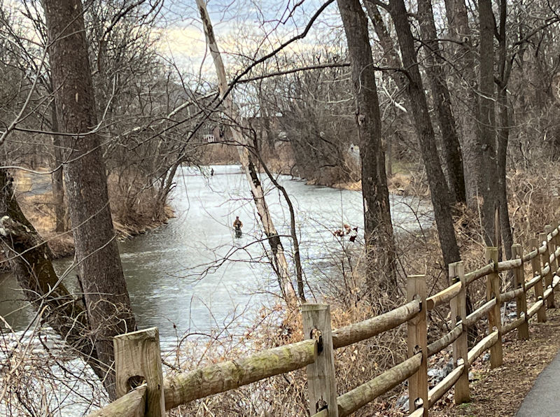
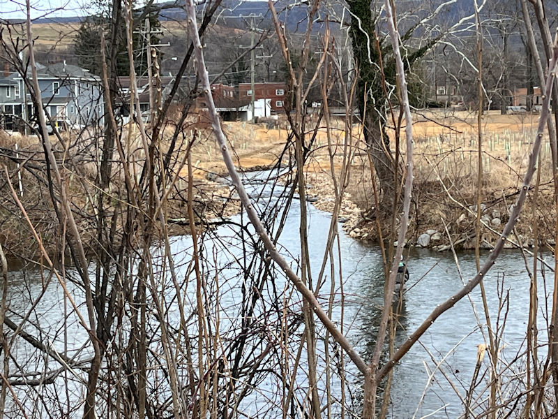
Lots of fisherpeople in waders -- this is apparently a popular catch-and-release trout-stocked stream.
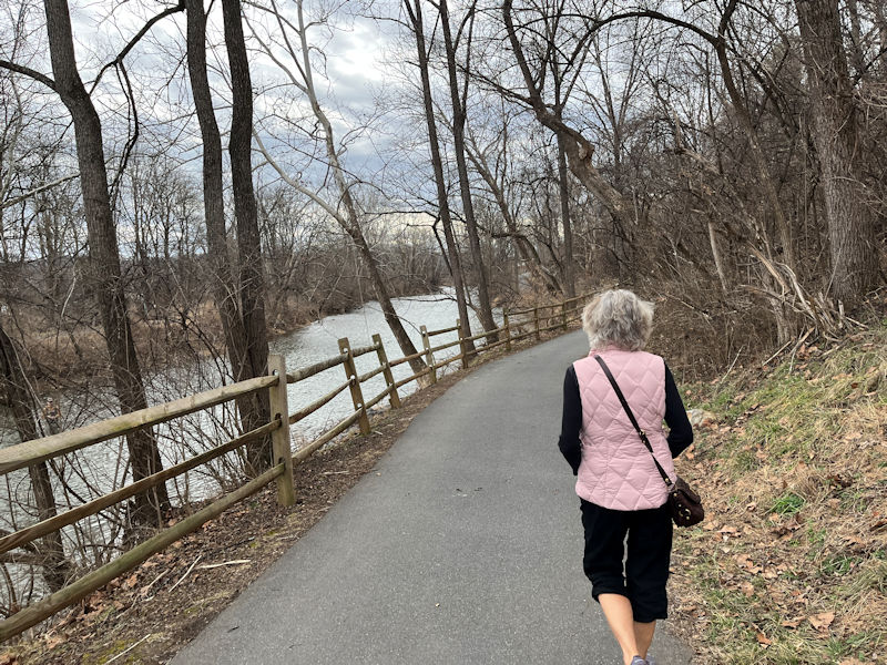
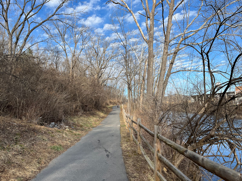
The project's pavement is a thoughtful aid for cyclists and wheelchair folks, not entirely welcome by people with aging knees, but it's okay.
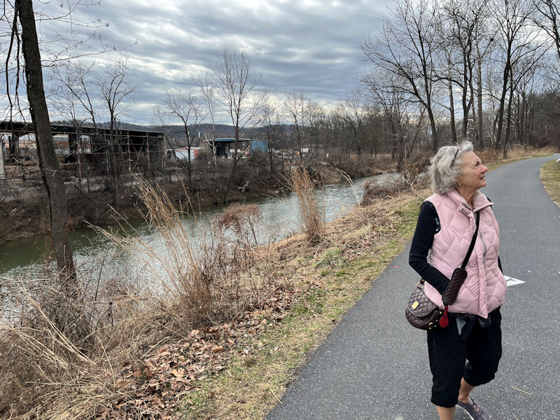
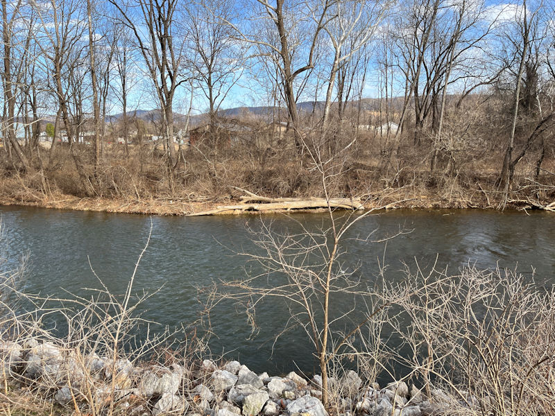
A lot of the terrain on the far side of the river does exhibit some rather grim industrial remains. Coming down off the Rockfish Gap on the US-250 (instead of the I-64), one passes some frightful looking ill-kempt corporate detritus.
-- So what's that then?
(-- If you need to ask, we're not telling.)
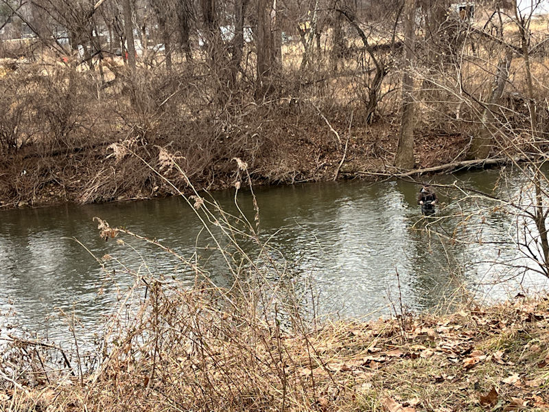
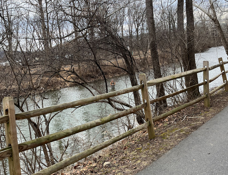
At this point, we thought the fisherfolk were working on a fine fish-fry, but only later did we find the catch-and-release signs, which might lead one to wonder why these fellows are out there at all.
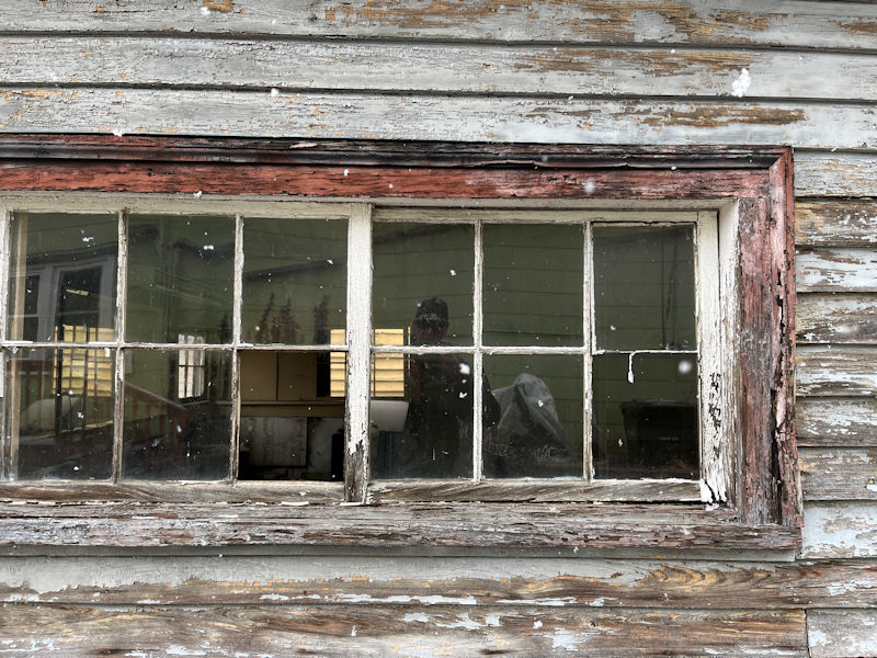
This is the John Crouse House, built in about 1815 by a blacksmith of German descent with six daughters and three sons and kept in the family to the mid-1900s.
A Civil War shell crashed through the windows on 2 March 1865 during the last battle of the war for Jubal Early; the Battle of Waynesboro lasted for 20 minutes and was won by George Armstrong Custer for the Union, the last Confederate battle in the Shenandoah Valley.
We've been trying to keep a count of these river-waders but it's almost impossible. That's actually a couple on a trout-fishing date.
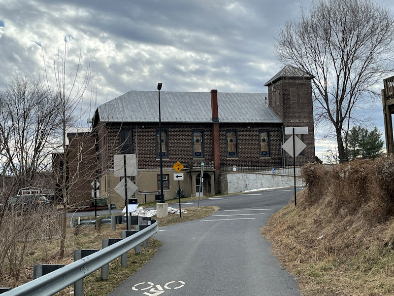
Up to the Shiloh Baptist Church at the city level, then . . .
. . . back down onto the Greenway Trail.
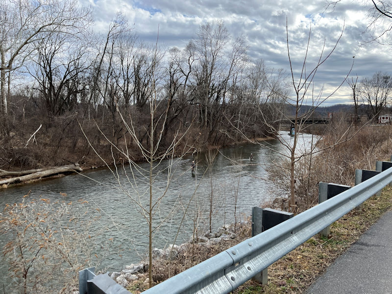
Under one of the two road bridges that pass over the river from US-250 to become Main St and Broad St into the centre city.
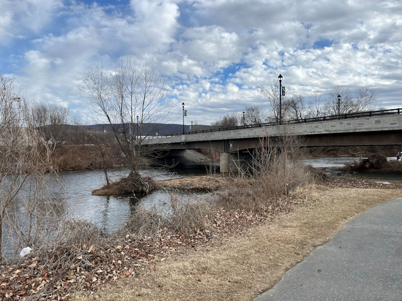
The other road bridge, where East Main St becomes West Main St
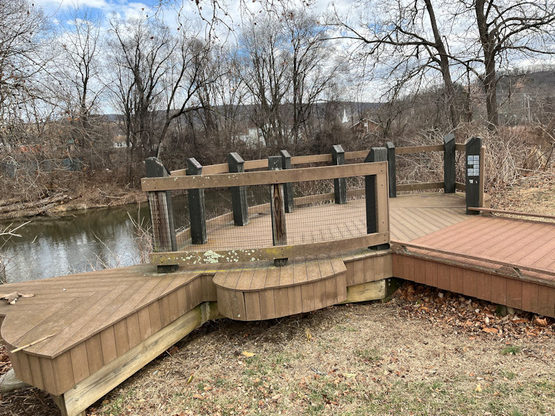
And if you're brought your own canoe or kayak . . .
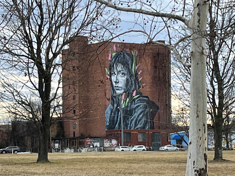
Looking across Constitution Park by the Blue Ridge Children’s Museum Natural Playground, and there's a . . . a what? An accusation from the Beyond? A message for our forlorn culture? A projected image from somebody's garage? An AI trick?
Answer: It's called Mural: Kaiya with Tulips, 'tourist attraction' at 200 Race St.
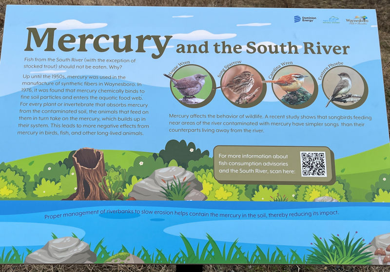
A subtle hint about the city's industrial legacy: 'Between 1929 and 1950, mercury was used by DuPont Co. in Waynesboro as a catalyst in fiber production. During that time, strict storage and disposal regulations did not exist, and mercury made its way into the South River. A serious contamination problem was discovered in the 1970s.' Et cetera, et cetera.
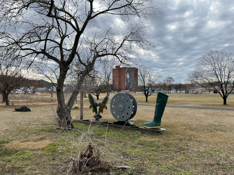
Beautiful woodwork, but it's not clear to us what this is meant to be. Comfy long-range fly casting?
Across the Constitution Park
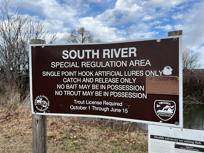
Serious regulations; fair enough
-- We're not having any more mercury problems round here!
That appears to be the Rockfish Run, joining the river from the heights of the Rockfish Gap over the mountains.
'You can fish here all you want, but if you eat this stuff, you'll die.'
The city is doing of a good job of recovering slowly from all of those years of environmental abuse and neglect.
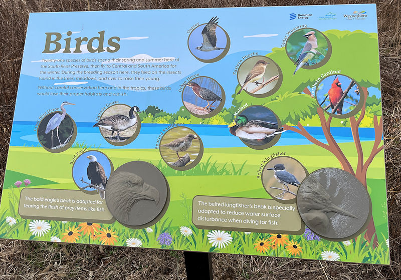
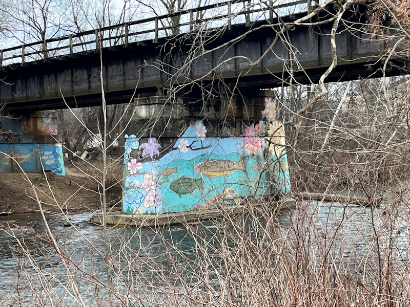
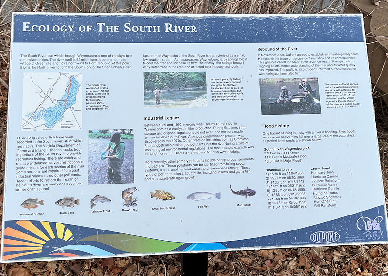
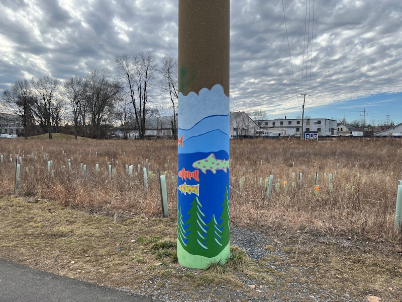
Here, closer along the Trial to the centre city, we've got a well-designed run of educational displays on a number of environmental subjects.
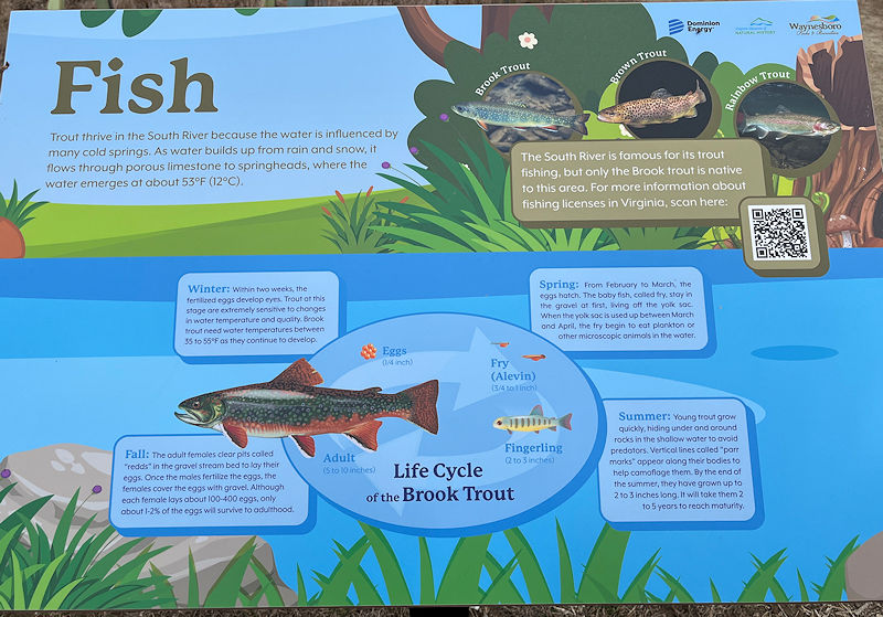
Birds, fish, land animals, meadows, forests, as well as . . .
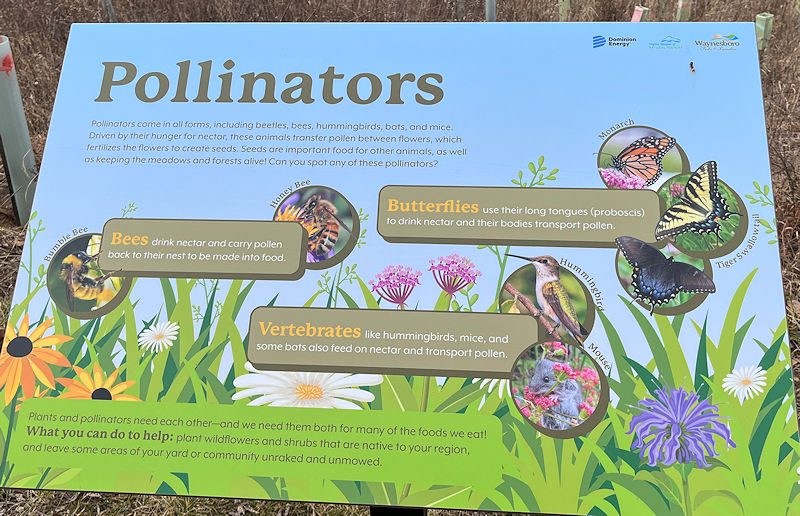
. . . pollinators, along with commentaries on historical moments in the city's history. All professionally created.
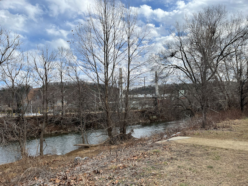
That's the Lycra Company and its two big chimneys, surrounded by a vast array of grim looking buildings, many areas abandonded.
'The DuPont plant was later sold to Koch Industries as part of the subsidiary company Invista. In January 2019, the plant was again sold to Chinese luxury apparel firm Shandong Ruyi Group and rebranded as The Lycra Company.' [Wikipedia]
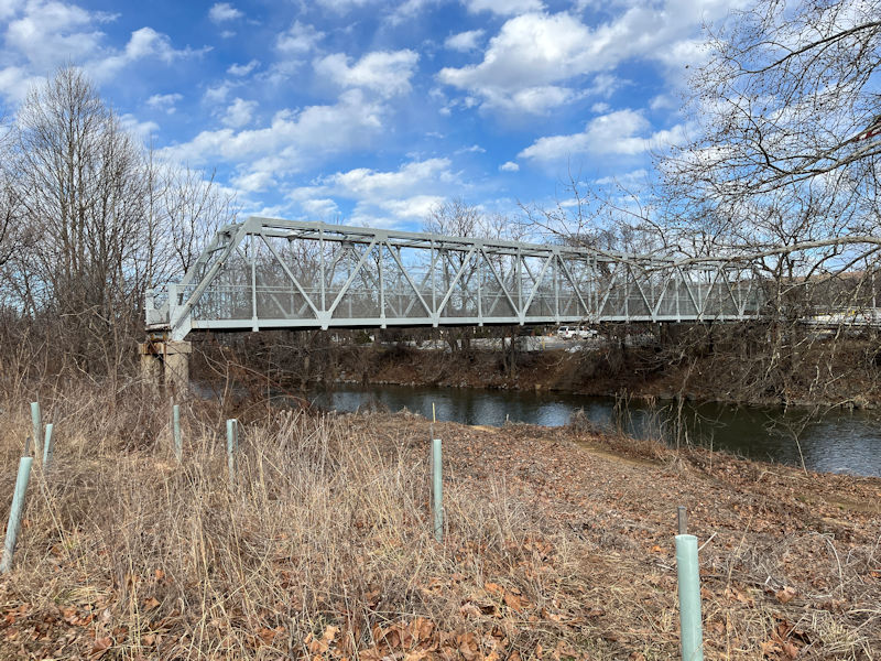
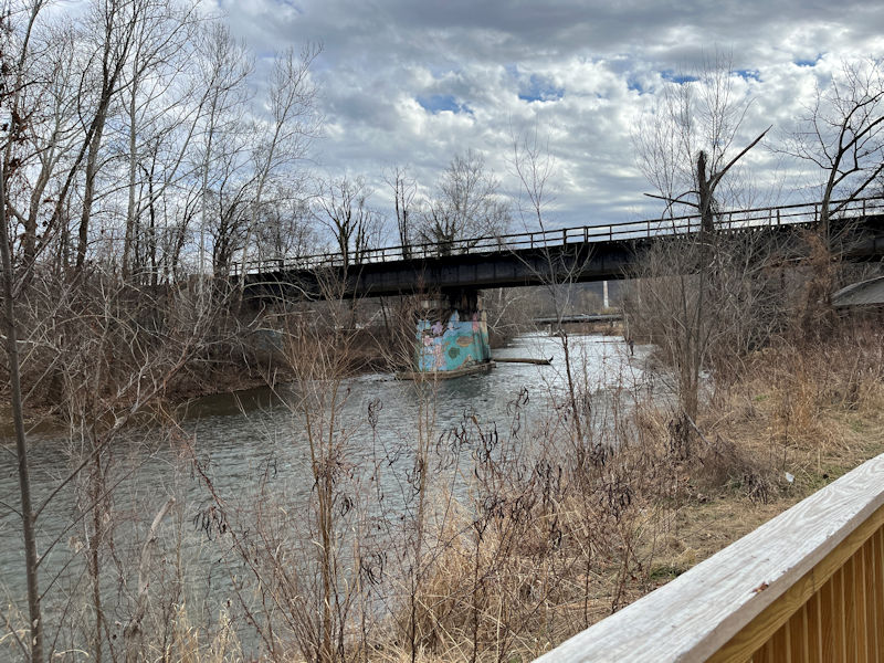
Some sort of industrial bridge (evidently abandoned) associated with north-end remains of the industries along DuPont Blvd.
Somewhere back there (according to our reading of Google Maps) is a horribly dilapidated old building from the original South River Mill, now rusting away near an artisanal mall of some eight or more classy renovated shops built into the former Crompton-Shenandoah textile factory complex at 200 W 12th St, which was abandoned in 1948 (see photo).
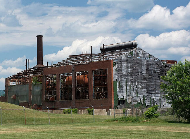
(photo by Philip N. Wheeler, Wikipedia Creative Commons)
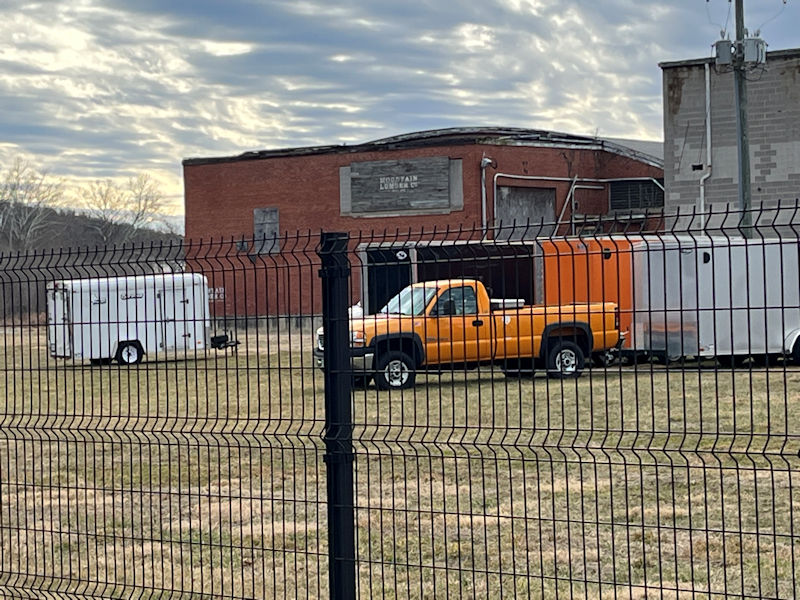
The Mountain Lumber Co. sticks out of the river side of the South River Mall complex -- we're nearly to the far end of the Greenway Trail near Rife Park now. Soon . . .
. . . we'll turn round and view the other side of everything along the way back to the car.
Back up to the north end, where . . .
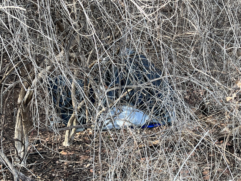
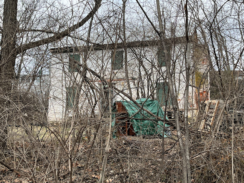
. . . we take another peek at one of the homeless folks' abandoned accommodations behind the shrubbery.
Here we get back to North Park and saddle up for our ride home up the I-64.
(Four miles done, all to please our iPhone Steps Summary for the day)
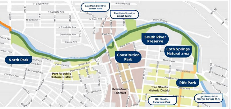
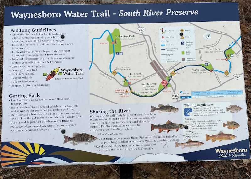
Our walk began at North Park (which is, in real life, at the northern end of the walk) down to near Rife Park, and back again.
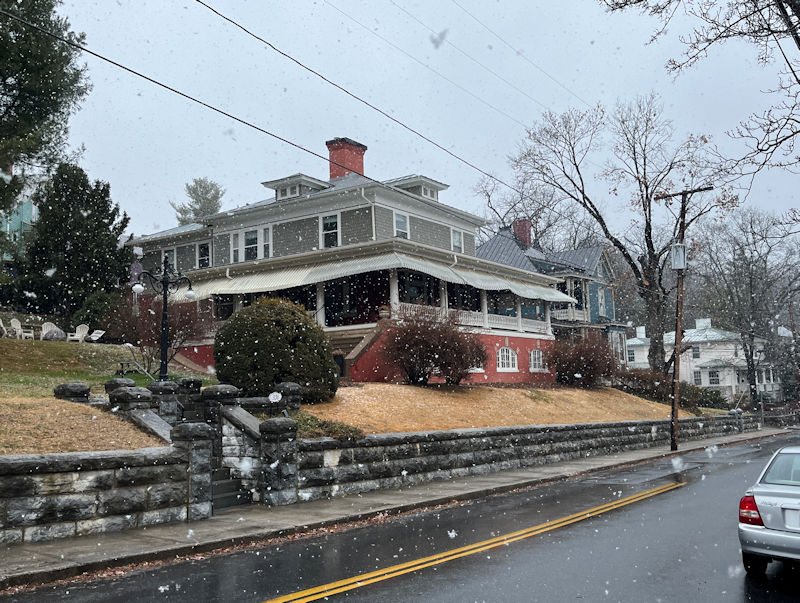
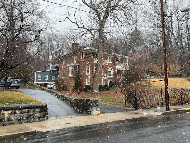
A snowy walk over Staunton's Gospel Hill District along East Beverley St
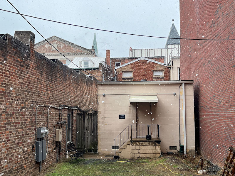
Wispy light snowfall, 22 February 2026
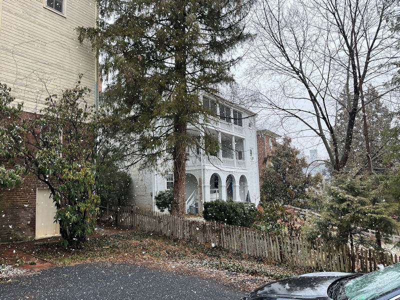
Working our way up E. Beverley St and . . .
. . . down the other side of the 'Gospel District'.
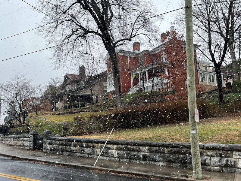
At 324 E. Beverley, this was gazetted as dating from 1848 and once owned 'by Stonewall Jackson's engineer, the founder of Staunton's oldest bank, and a Virginia Supreme Court justice', serially.
The Gospel Hill Manor, 337 E Beverley, now a B+B
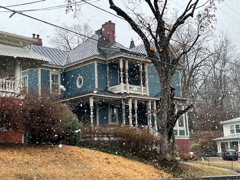
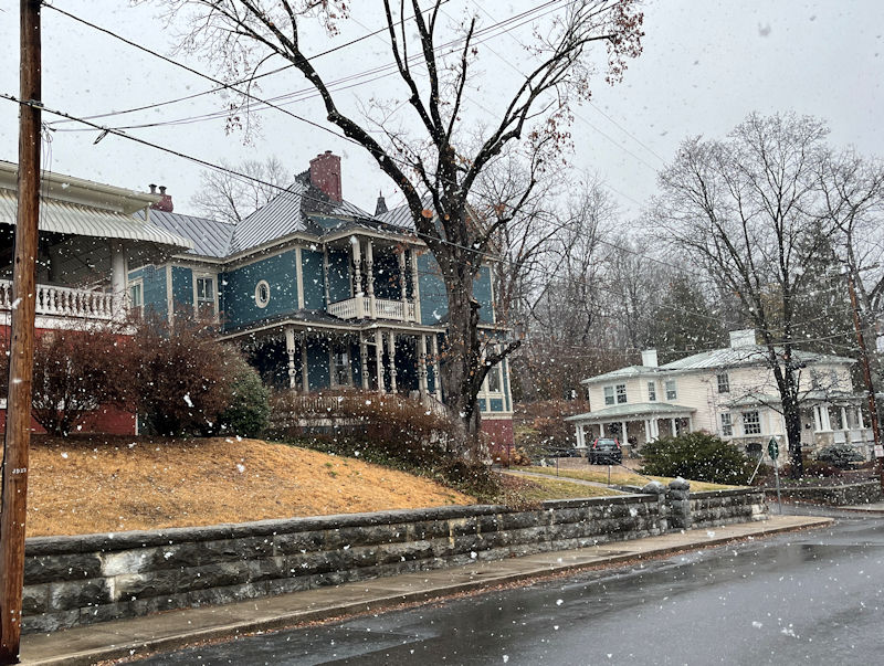
This is called 'The Oaks', built in ca. 1840 but bought by the Civil War mapmaker to the stars, Jed Hotchkiss, who added to the front of it in about 1888: 437 E. Beverley St.
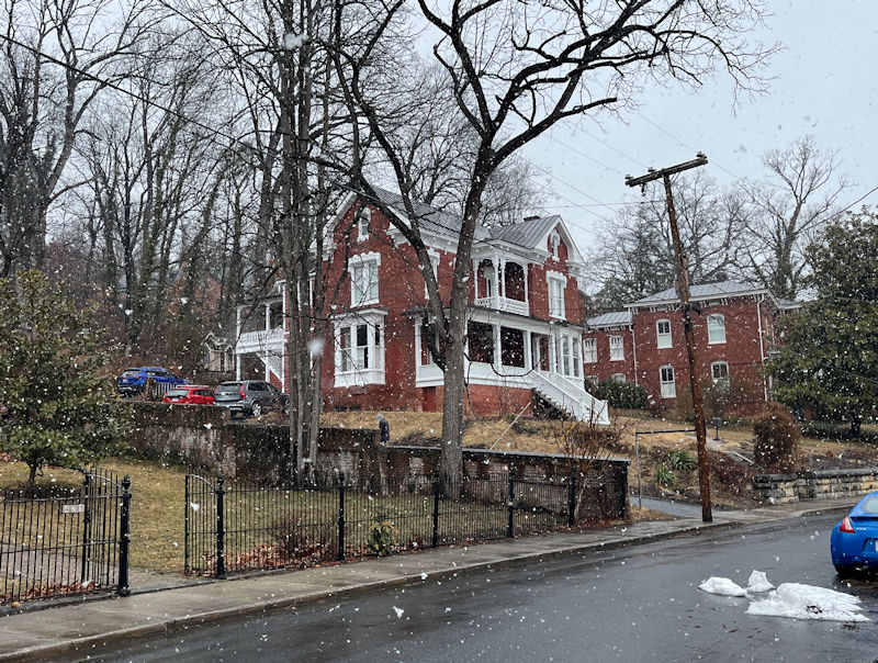
501 E Beverley, across the street from the . . .
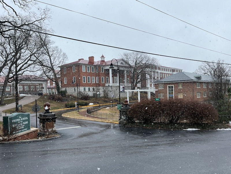
. . . venerable Virginia School for the Deaf and Blind, founded in 1869
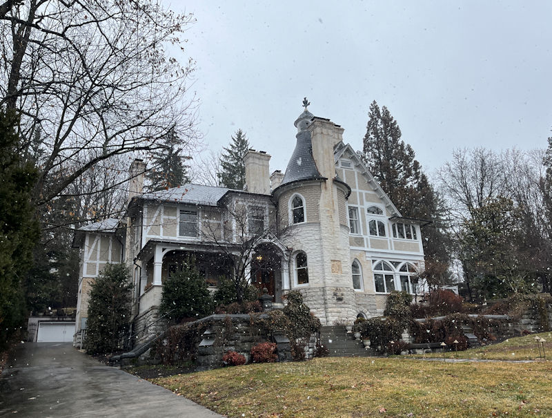
'Oakdene', built for the then Virginia Lt Governor in 1893, with its owl surmounting the tower, and . . .
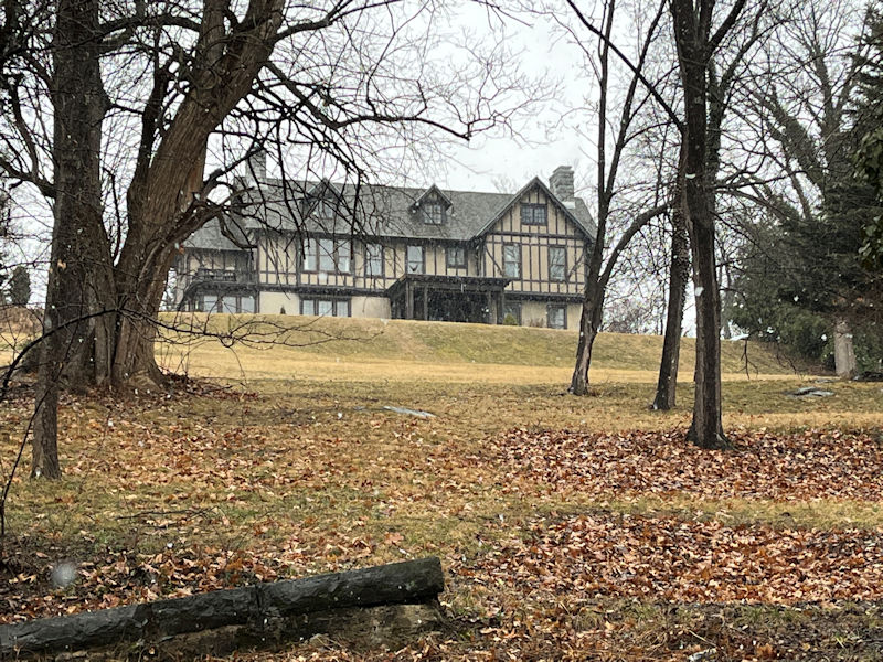
. . . a faux-Tudor manor, up the hill from the . . .
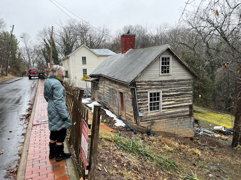
. . . Cabell House.
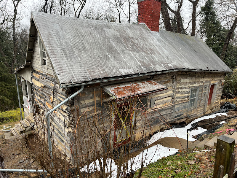
The 2-room Cabell House on E. Beverley is the only surviving exposed log house in town, built by Edmund Cabell, a 'freeman of color', in 1869, and owned for more than a century by descendants of the family. It was purchased by the Historic Staunton Foundation in March 2024 which has been executing a programme of rehabilitation since then.
Kristin recently attended a up-to-date lecture on the findings of the studies and progress of the rehabilitation.
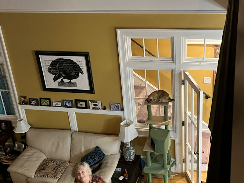
Choupette is testing out the new location for her cat-tower. She likes it.
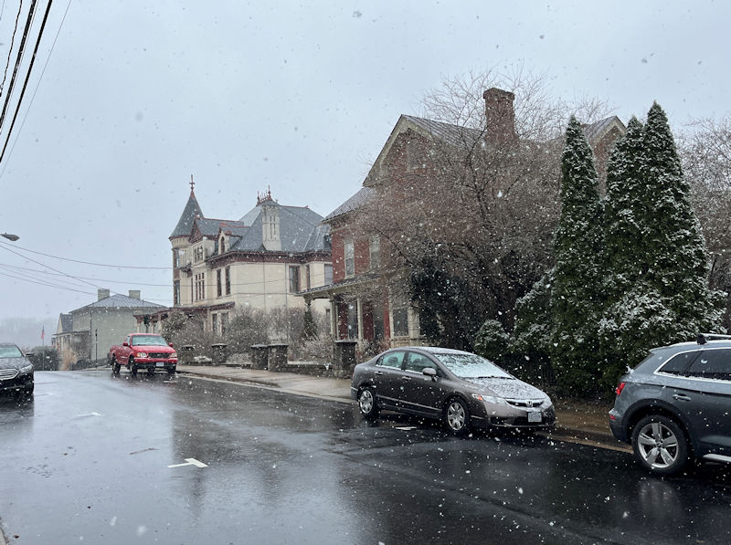
More light snow, 2 March 2026, this along Lewis St up near Mary Baldwin University.
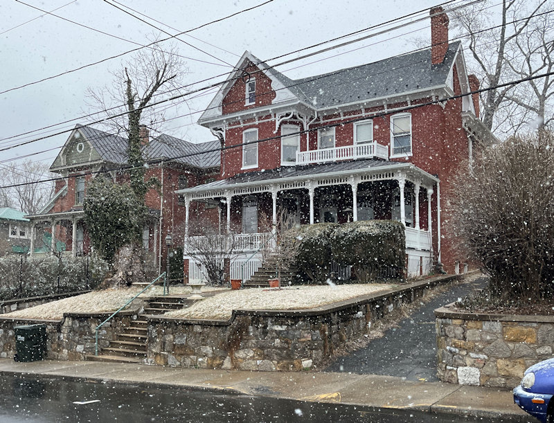
220 N. New St
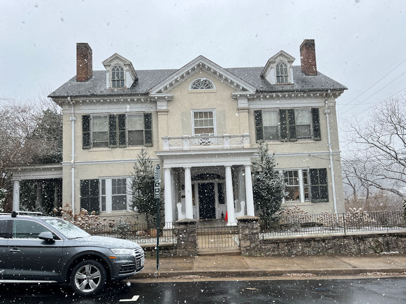
Quite a progression of fancy buildings along N. New St., possibly orginally related to the proximity of the university, just up that street on the right.
311 N. New St., presently the Windermere Apartments
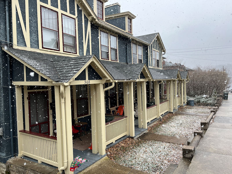
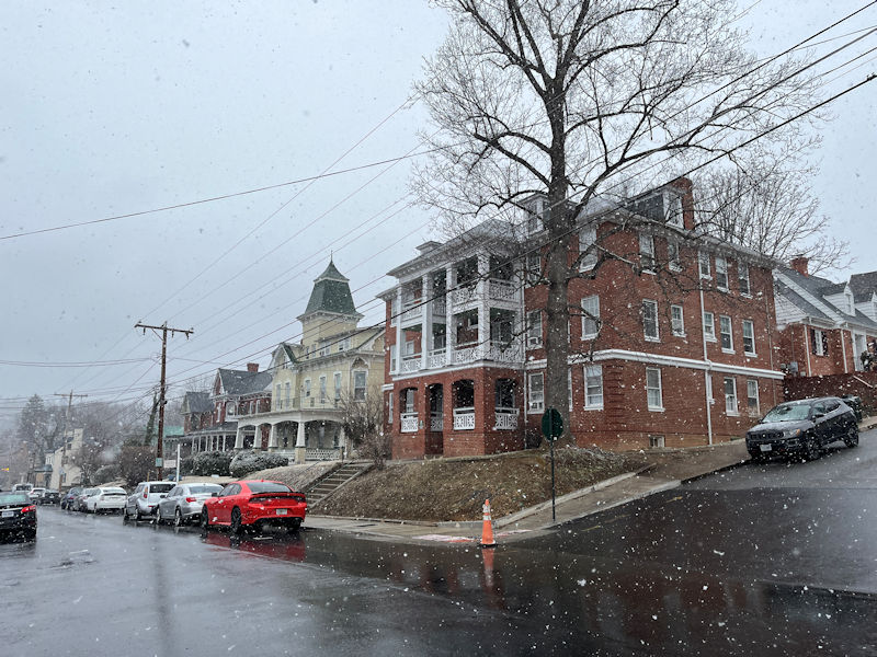
A multiplex at 308 N. New St
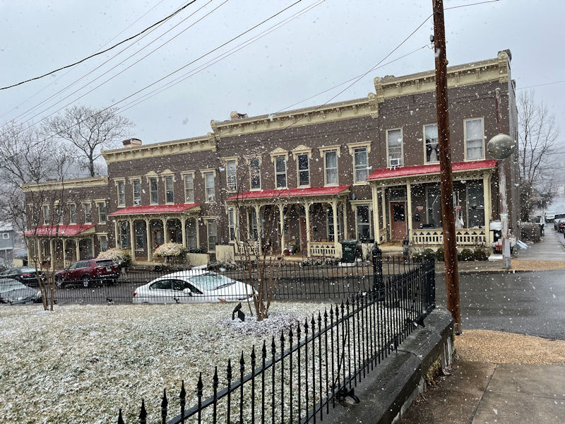
315 N. New St
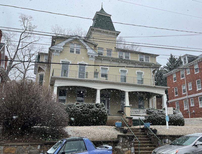
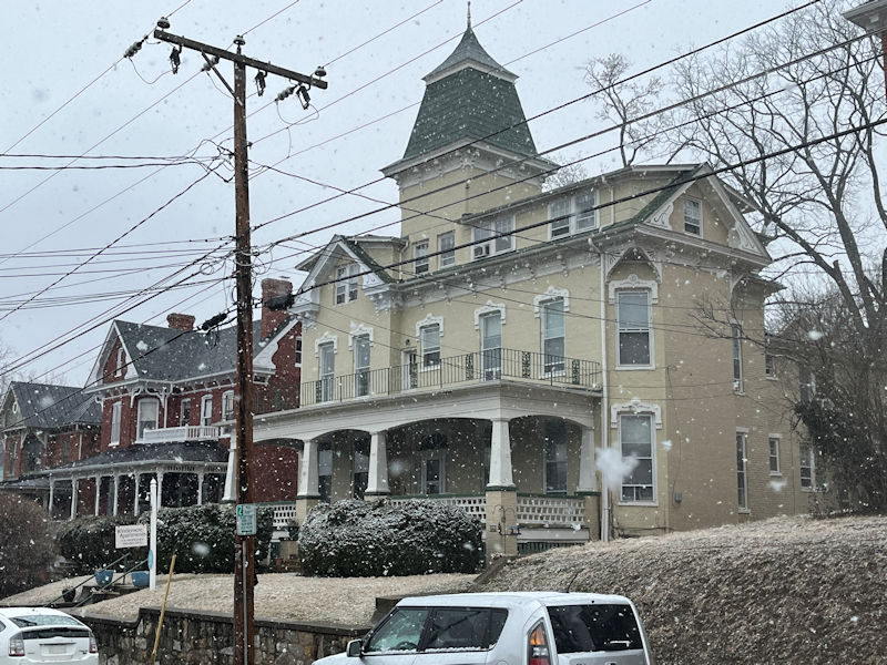
The Windermere again
19 Prospect St
This is the only seriously unrestored building on the street, 512 N. New St. Somebody's probably waiting somewhere for it to fall down of its own weight.
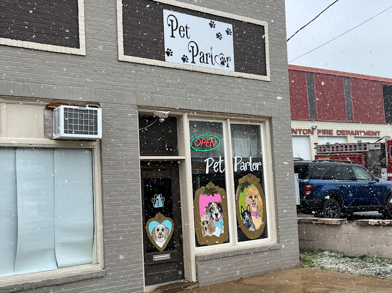
The Pet Parlor on Central Ave.
Next up: A few more winterish walks in the local forests
 Dwight Peck's personal website