You may not find this terribly rewarding unless you're included here, so this is a good time for casual and random browsers to turn back before they get too caught up in the sweep and majesty of the proceedings and can't let go.
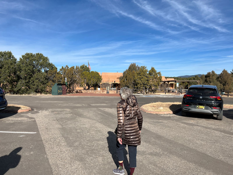
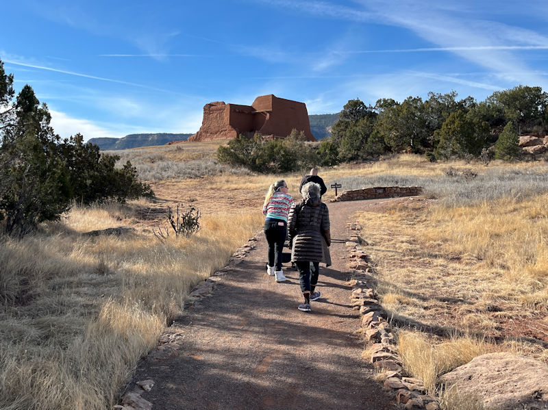
In fine weather, 18 miles (23 min) east of Apache Ridge Road on I-25 north and NM route 50, we're visiting the Pecos National Historical Park (at least one of us knows virtually nothing about the history of the southwestern US, so this is our Big Chance). 24 December 2025.
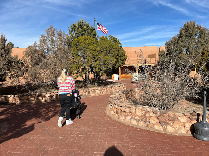
Emily gets the pram duty with Little George.
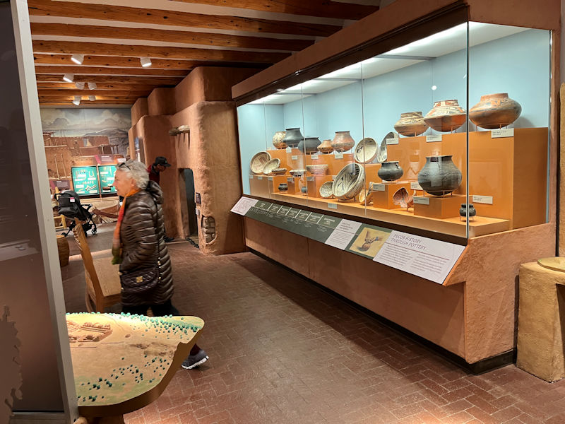
The Pecos Pueblo per se is known to have been established in about AD 1100, but archaeological researches by Alfred Kidder (1885-1963) in the area of the abandoned site from 1915 to 1929 uncovered over 2000 years of material of pottery successions and human remains. Kidder went on to become a preeminent archaeologist of the southwest, establishing the Pecos Classification System in 1927 and creating the 'Pecos Conferences' for researchers in the American Southwest.
The Pecos Pueblo itself, 341 acres, was preserved as a state monument in 1935, but in 1965 it was established as the Pecos National Monument and administered by the National Park Service. In 1990 it was expanded to include over 6,670 acres of archaeological interest and renamed as the Historical Park in 1991. The nearby Glorieta Pass Battlefield (1862) from the Civil War was added in 1993.
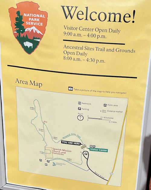
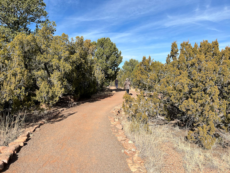
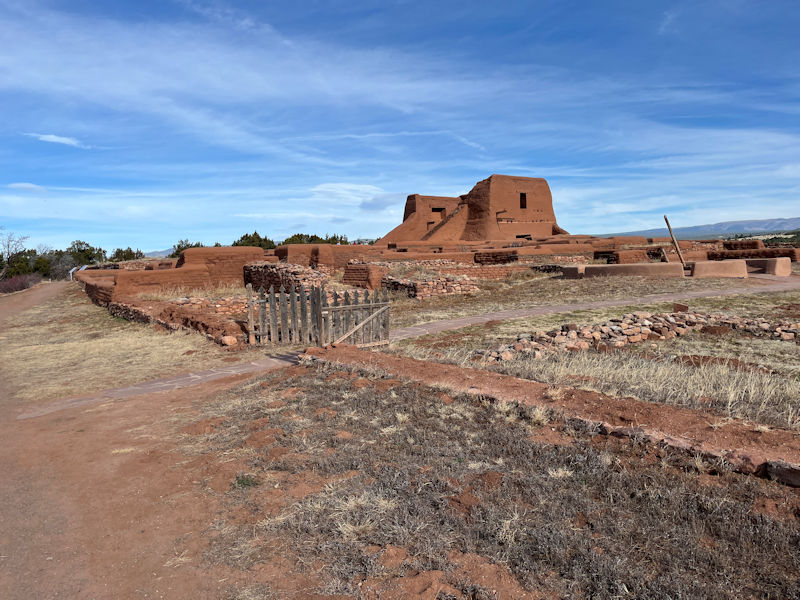
In addition to the educational displays in the Visitor Center's mini-museum, the 'Ancestral Sites Trail' comprises a 2km track from the Center north past what's left of the South Pueblo, onward past the North Pueblo, back down past the remains of the Spanish Mission Churches, finally to the Center again.
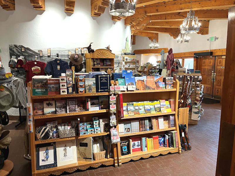
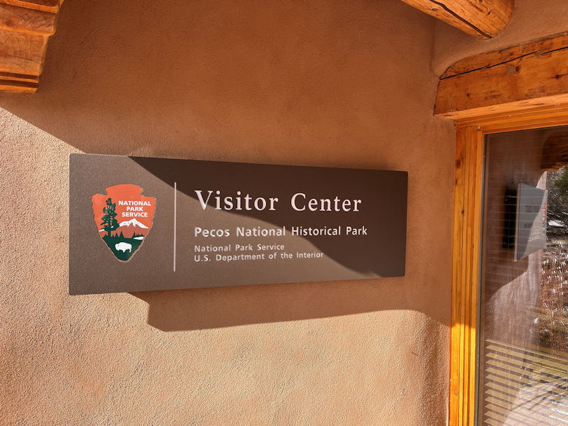
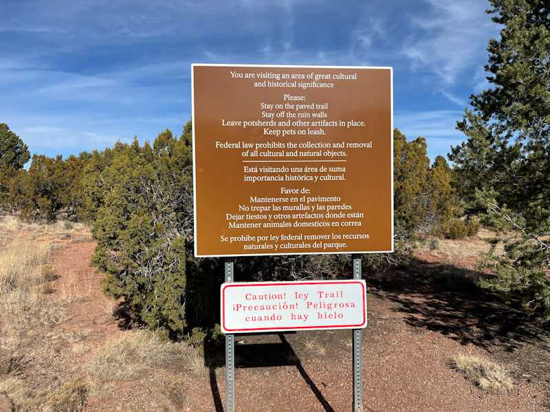
Entry through the gift shop and the welcome desk -- there is no fee to visit the park, and only a slight charge for the informative trail guide pamphlet.
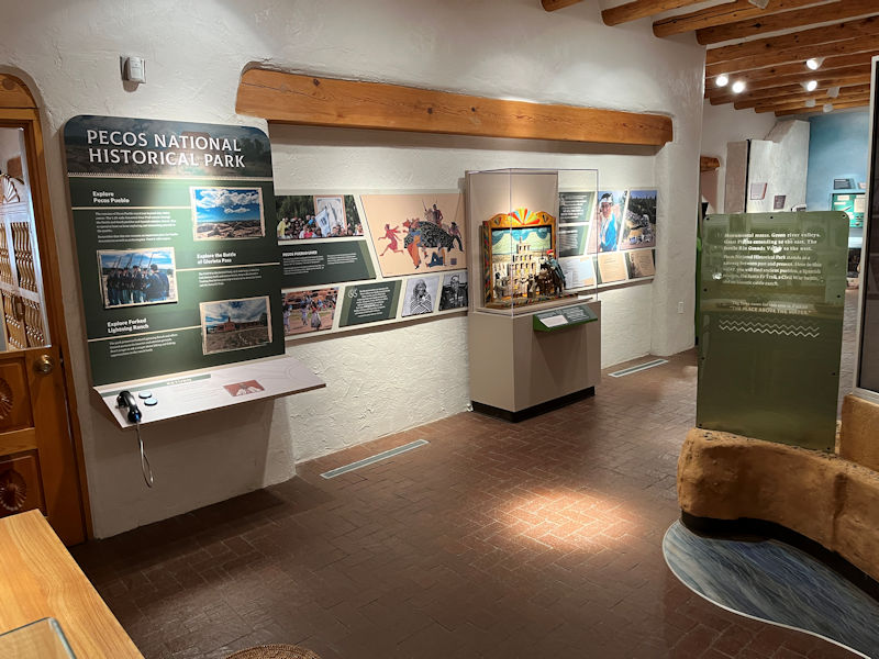
The small museum is extremely well done, both educationally and aesthetically, and it's apparently quite new.
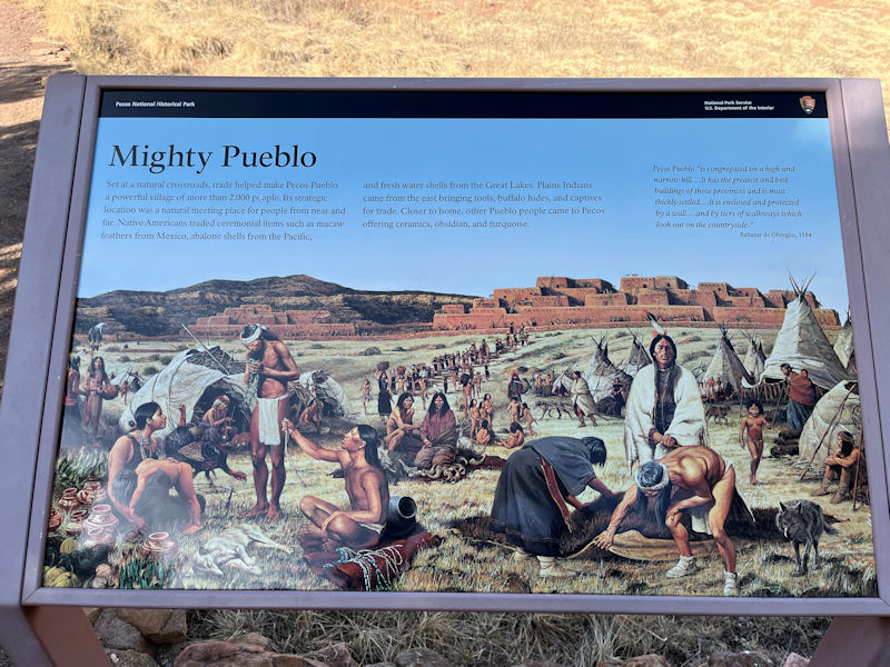
The displays basically tell the pueblo story as a series of phases in the life of the community, from a handful of elementary settlements in the beginning, ca. 1100, to a thriving and prosperous enterprise 350 years later, with some 2,000 inhabitants and apparently a nickname of the 'village of 500 warriors'.
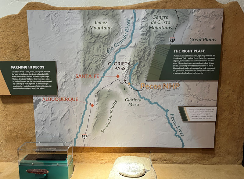
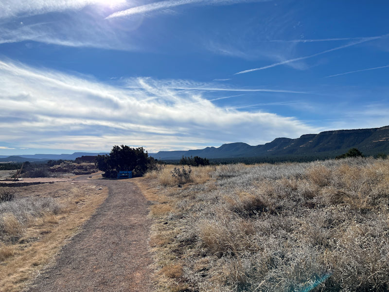
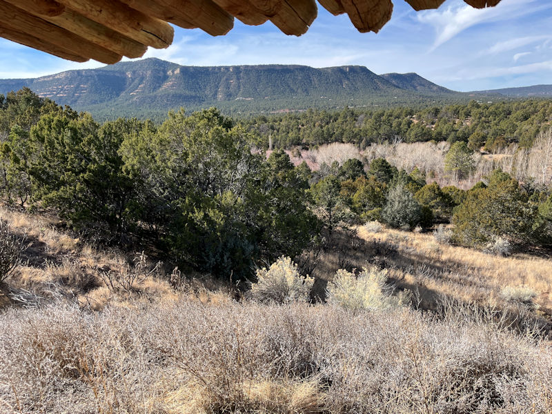
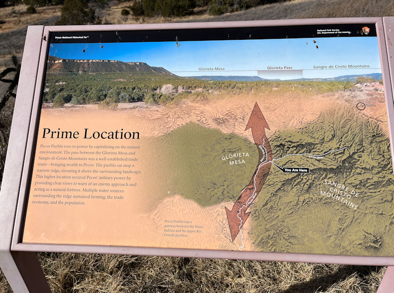
It's advantageously located on a defensible mesa in a pass near the head of the Rio Grande and Pecos River valleys between the Sangre de Cristo and Sandia mountains. The surrounding territory was good for farming the staple crops and for hunting as well, and the village at its peak was a major trading centre for goods passing between the pueblo communities to the west and the Plains cultures to the northeast.
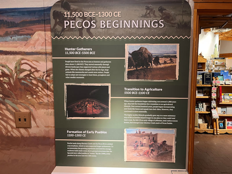
The lower caption reads: 'Fertile lands along Glorieta Creek and the Pecos River yielded crop surpluses, which in turn supported larger settlements. To accommodate the growing population and need for storage, residents built multi-room above-ground structures that the Spanish later called pueblos or 'towns'. By the 1300s, some pueblos in the area had over 100 rooms.'
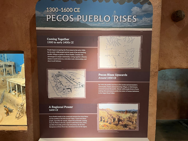
By the early 1400s, people had left the local smaller villages and gathered at Pecos Pueblo, centralizing trade relationships and sharing in self-defense. The second panel indicates that by 1450 there were buildings of 4 or 5 stories surrounding a central plaza with nearly 2,000 inhabitants, making it 'the center of human habitation in the Upper Pecos Valley'. By 1600, with its trading and farming successes, 'by the time Europeans arrived, Pecos was a dominant force in the region'.
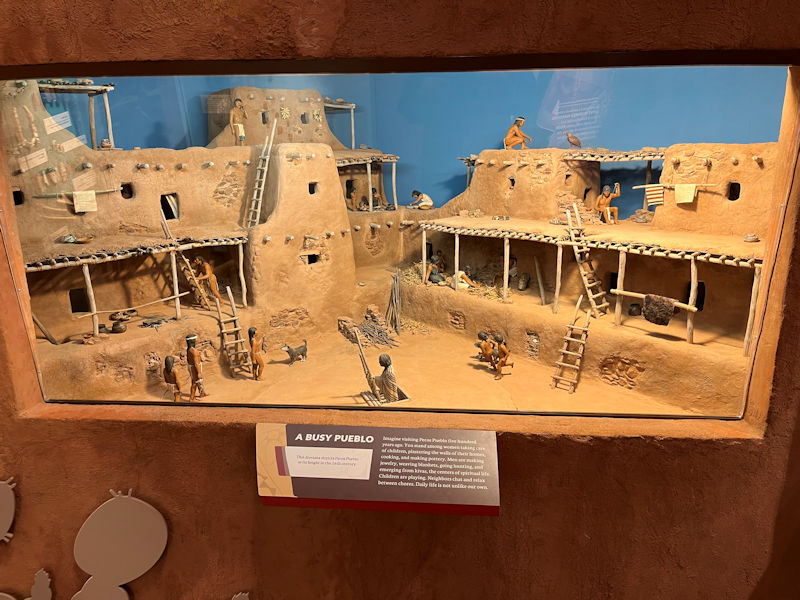
The diorama illustrates the pueblo at its height in the 16th century, characterizing the various occupations the residents carried out. 'Daily life is not unlike our own.'
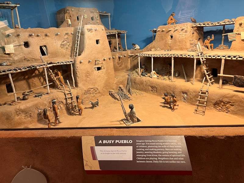
The gentleman in the centre is emerging from a kiva, an underground small or large room of serious religious significance. The remains of over 20 ceremonial subterranean kivas have been found on the site, some with 40 foot diameters and 10 feet deep. We'll see one during our walk.
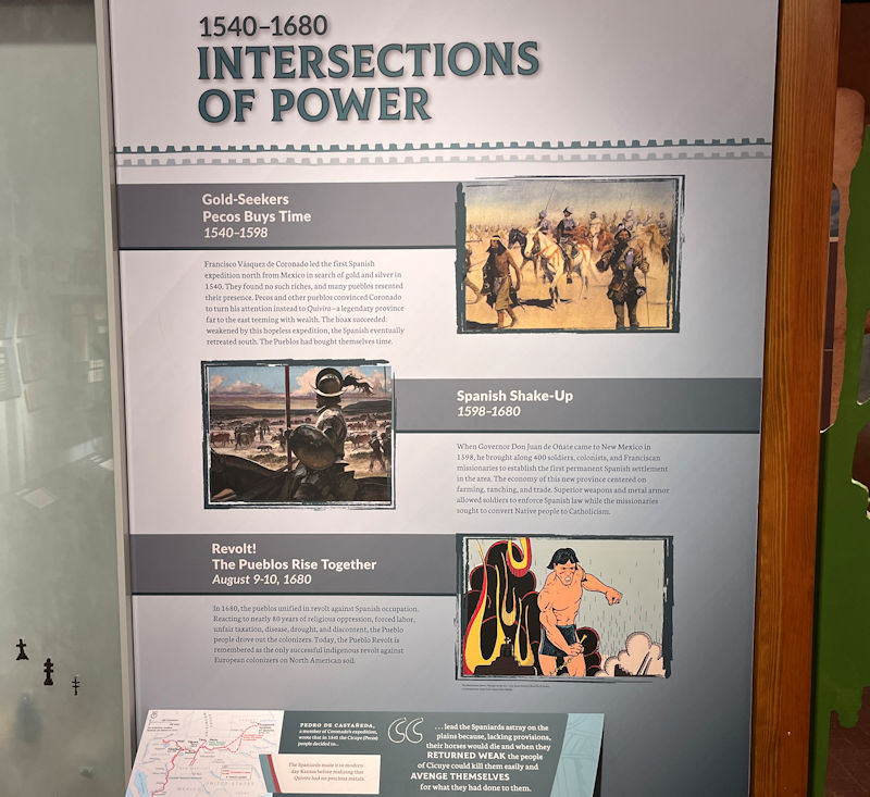
Spanish explorations, part of Coronado's mission seeking sources of gold and silver, showed up in the 1540s, but they were so unsuccessful that they trudged back to the south. But more of them were back in 1598, at first with 400 soldiers, colonists, and Franciscan missionaries, soon establishing settlements, enforcing Spanish legal regimes, and endeavoring to convert the native population to Catholicism. In 1680, after 80 years of that sort of thing -- 'religious oppression, forced labor, unfair taxation, disease, drought, and discontent' -- the pueblos of the territory joined up to drive the Europeans back to the south.
'Today, the Pueblo Revolt is remembered as the only successful indigenous revolt against European colonizers on North American soil.'
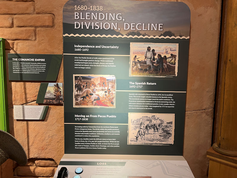
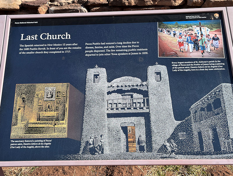
When the Spanish returned in 1692, their occupation was more tolerant, no longer taxing the residents and with more tolerance for traditional religious practices. A new church, smaller than the 1625 church destroyed in the Revolt, was completed in 1717 on top of its ruin. Times had changed, however, and increasing drought and diseases like influenza, smallpox, and measles, along with increasing hostile Comanche raids from the Plains to the north, reduced the population and led to a long emigration. 'By 1776, just 269 people lived there', and in 1838 the last few families decamped for other pueblos.
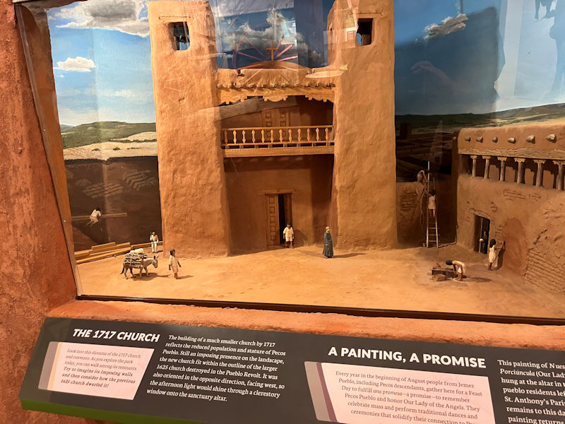
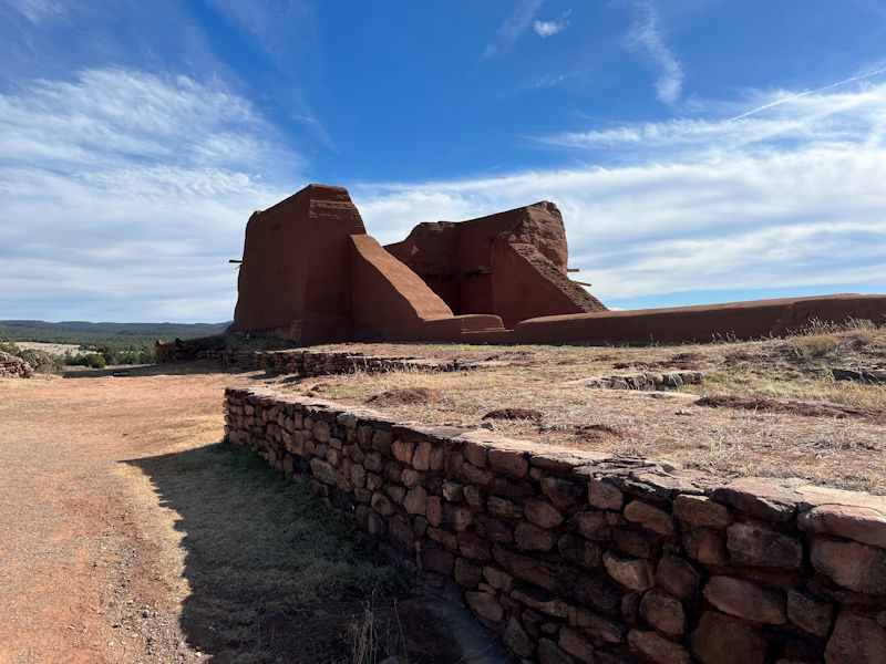
This is a recreation of the smaller 1717 church, remains of which will be found during the Ancestral Sites walk.
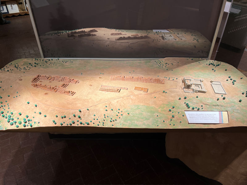
Here is a mock-up of the Pecos Pueblo in its heyday, with a wall atop the little mesa enclosing the main northern pueblo on the left, the southern pueblo in the centre, and the Spanish church and mission separated off to the right. The small circles represent the religious kivas.
There seems to be some suggestion that the southern pueblo's residents were more at home with the Spanish community than were their neighbors to the north.
Off we go.
According to the trail guide, the name Pecos comes from the Native Towa word P'aekilà, 'the place above the water'.
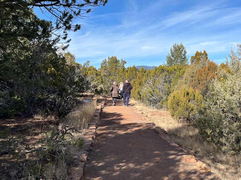
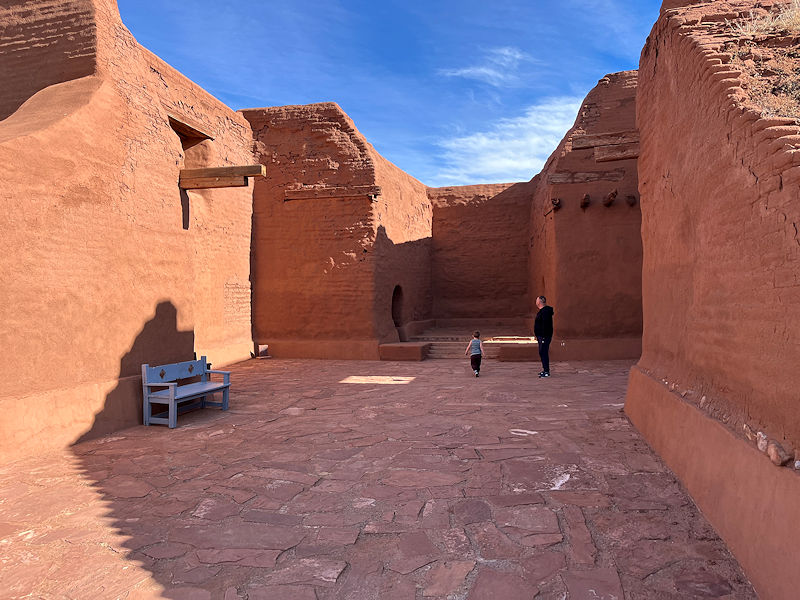
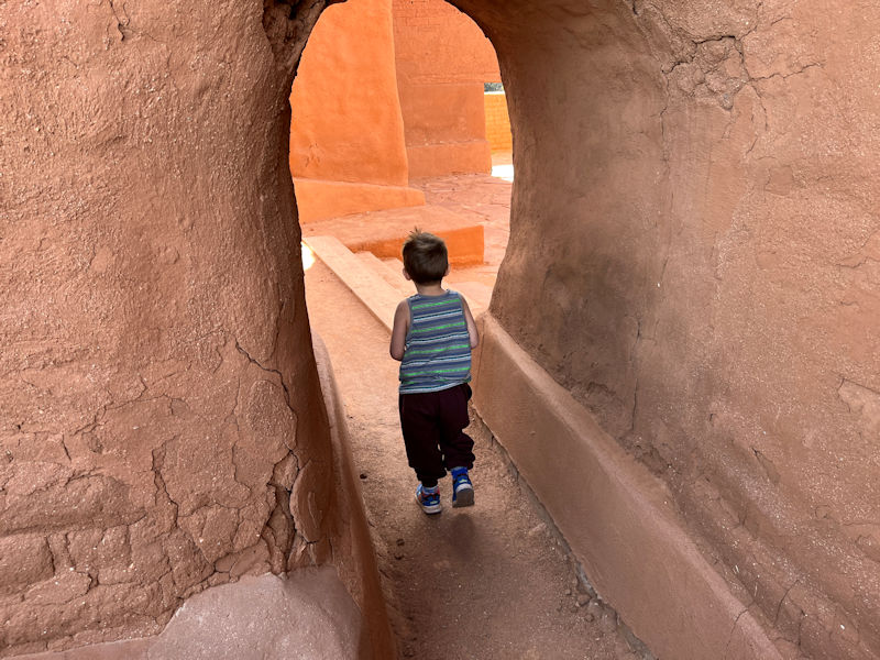
Kristin and son George, preceded by Young George (aka Little Buddy) supervised by his mom Emily.
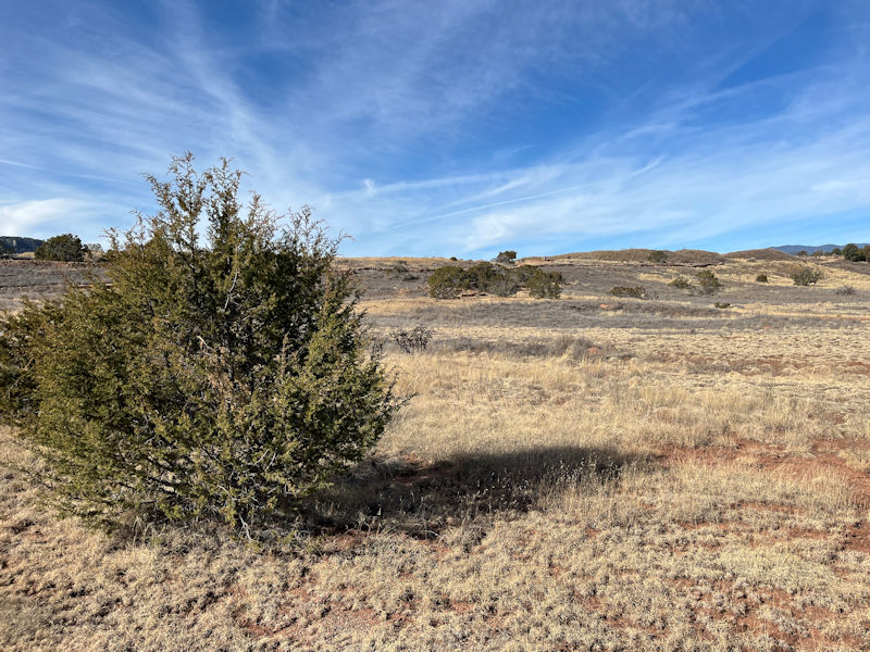
All of this countryside would have been within the agricultural domains of the settlement. The village wall can be seen along the rim of the small mesa above.
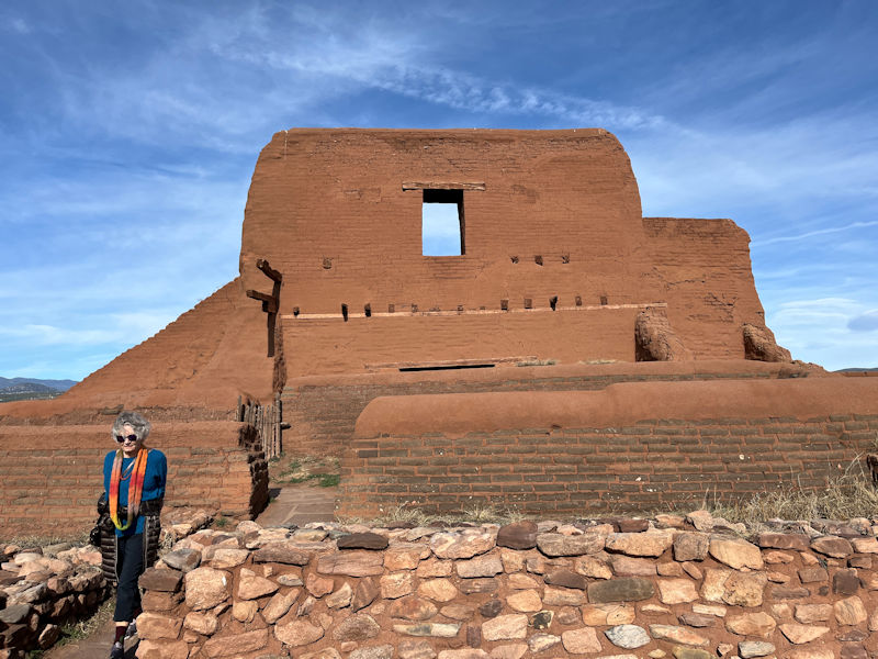
A first mission church was built in nearby rocky hills in about 1617, perhaps because the inhabitants were at that time not too keen on having it any closer, but by 1625 a much larger second one was built, as seen in the mock-up shown above. That was destroyed in the Revolt, and after the Spanish return a one room church was constructed nearby off a wall of the convento, or administrative and living quarters of the priests. The fourth church, remains of which are seen above, was built in 1717 on the ruins of the 1625 one.
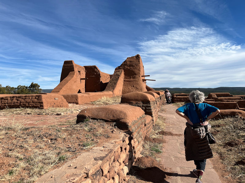
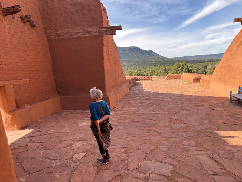
We've got a ways to go before we come round any closer to this one.
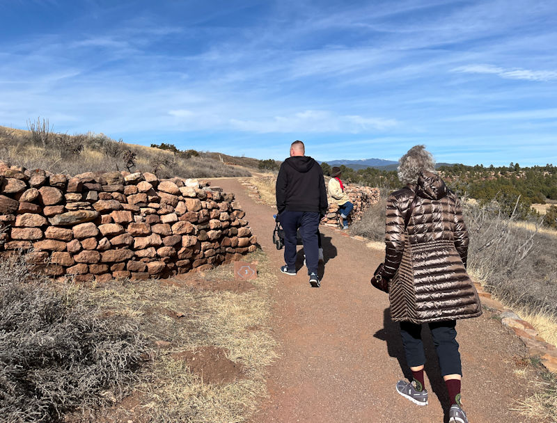
These are remains of the city wall round the Pueblo, and visiting traders installed themselves to the outside of it (i.e., where we've just been). The wall all round the buildings and the settlement's location on higher ground show the concern for defense measures at a need.
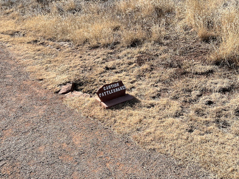
-- Umm. Okay, thanks for that.
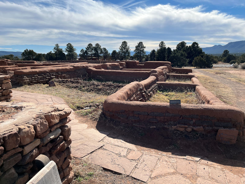
We're passing by the South Pueblo, two-thirds of which has not yet been excavated.
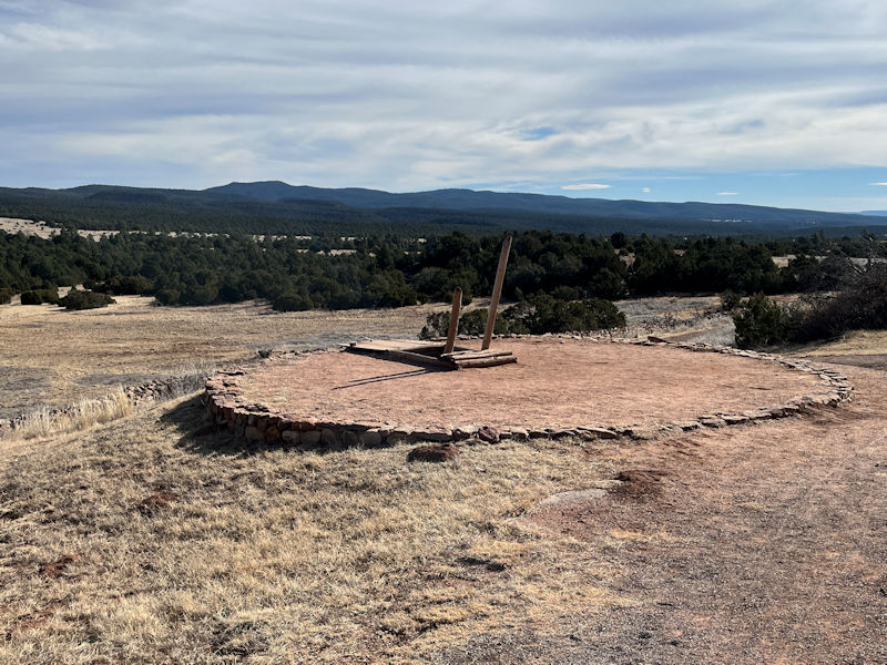
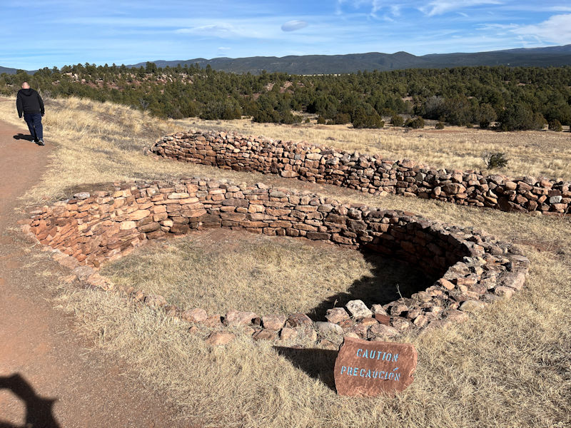
This is a reconstructed kiva, of which 20 have been found here, though not all were in use in the same period. Apparently, each kiva had its own kiva society with different kinds of ceremonies and arrangements, but each had an entry-cum-chimney through the roof, a ventilator shaft for fresh air, and a fire pit.
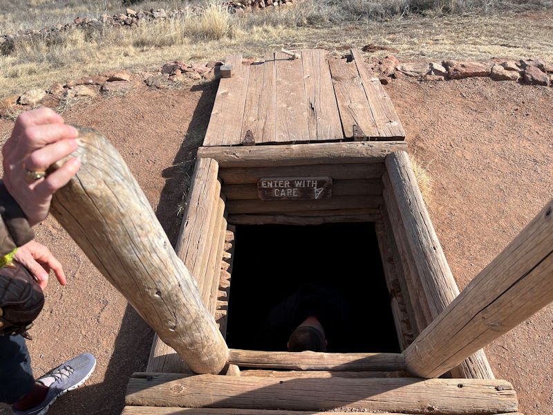
To achieve a sense of what that's all about, we've sent Uncle George down for a look.
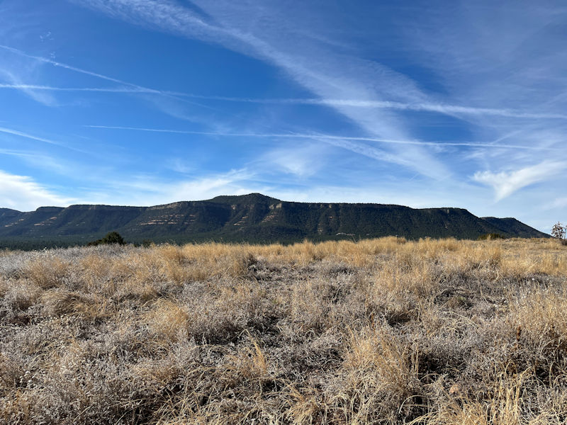
The mountains to the west
Along here there is a midden, or rubbish dump for normal detritus, broken pottery, etc., and (apparently here) even human burials (since it 'offered as a rule the only soft earth for gravedigging'). Archaeologist Kidder early in the 20th century researched the midden thoroughly, so that his work establishing a cultural chronology from it 'is considered the birthplace of southwestern archaeology'.
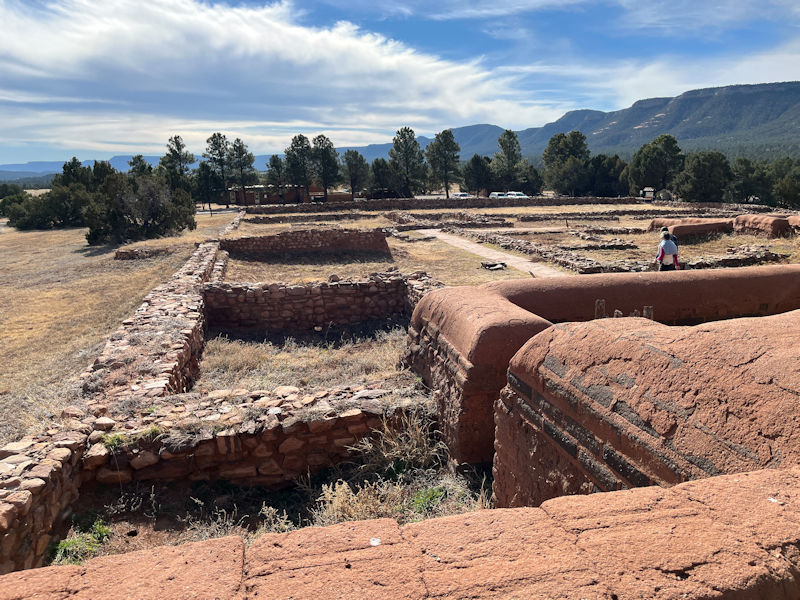
Rounding the north end of the settlement, we're passing the central plaza of the unexcavated North Pueblo, with what would have been a quadrangle of some 600 rooms of 4 to 5 stories in some places. This roofless kiva would have been just inside the quadrangle, and was apparently 'in use for at least 300 years'.
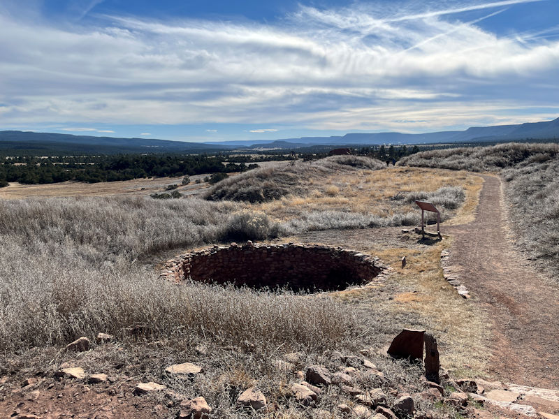
'The top of the present mounds are at about the third- or fourth-story level' of the original buildings.
From the Pueblo's location, watch could be kept continuously for anyone approaching from the Rio Grande Valley or the Great Plains, whether on a trading mission or an unwelcome raiding party.
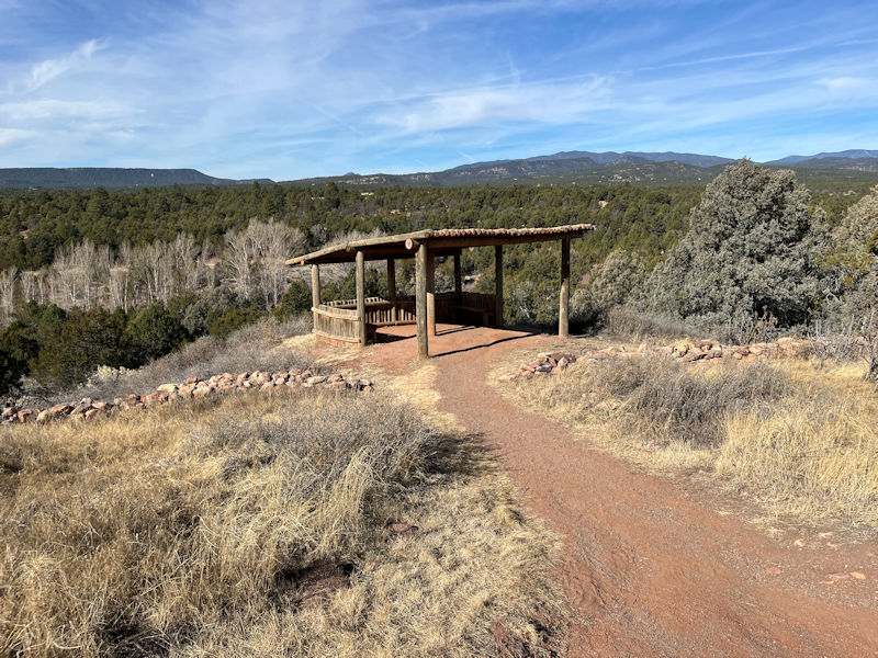
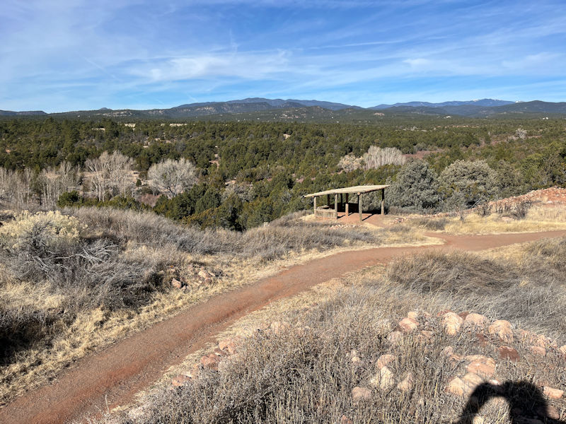
An observation spot
There were two nearby sources of water for the Pueblo, the Glorieta Creek just down there, and the Pecos River a mile to the east. It's thought that the Spanish also reported springs round here near the place.
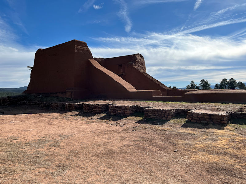
Here we are at the remains of the 1717 church.
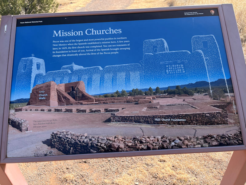
The 1625 church foundations in the foreground

(Sans paroles)
The remains of the 'convento', the missionaries' living quarters, administrative facilities, and workshops. For the 1625 church, 'Archaeologists estimate that builders used three hundred thousand 40-pound adobe bricks to complete the structure'. By 'builders', native labor is meant, but Fray Juárez did teach his workers to make adobe bricks using wooden forms, whereas 'they were used to working with mud' built up on layers.
We're catching up with the rest of our party now.
Young George and Uncle George checking out the arrangements
Always curious
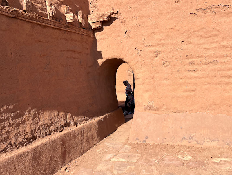
Somewhere along this stretch are the remains of the torreón or watch tower. 'During the Comanche raids of the mid-1700s, the gates of the pueblo were fortified and Spanish troops were stationed here.'
George and Emily taking a last look-round
And Kristin ditto
Just over there, there is a kiva built between 1620 and 1640, very rare within mission conventos and it's surmised to have been intended to make it easier to teach Christianity to the locals in their own metaphors.
The guy on the right is Adoph Bandelier (1840-1914), another avid archaeologist of the Southwest. (I visited the Bandelier National Monument pueblo, with daughters Alison and Marlowe, back in 1997.)
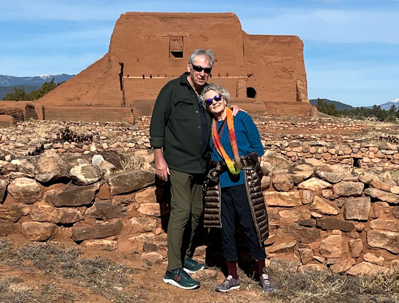
A pair of tourists who've learnt a great deal from this educational excursion.
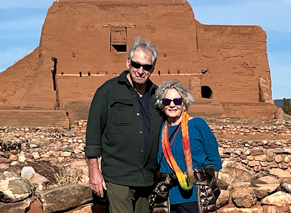
And may well come back again some day.
Some direct quotations above were taken from Wikipedia and especially from the Ancestral Sites Trail Guide, 3rd edn (2018), published by the nonprofit Western National Parks Association, a partner of the National Parks Service.
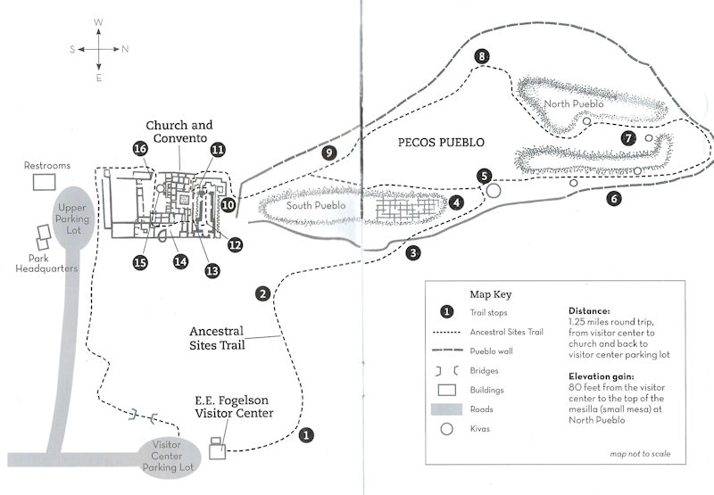
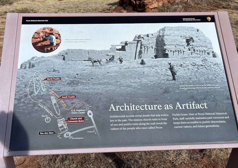
And likewise this basic plan of the Pecos Pueblo
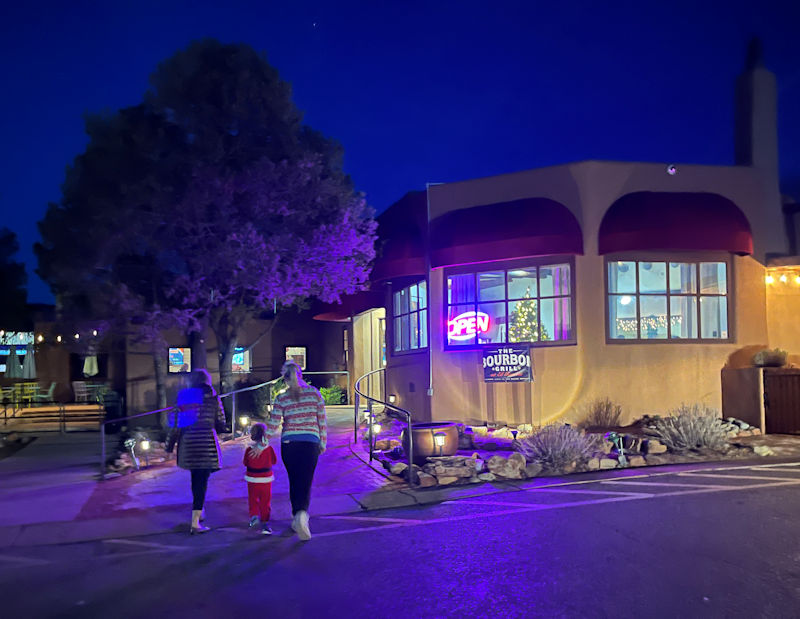
Dinner tonight at the Bourbon Grill (where Little Buddy charmed the wait staff and clientele)
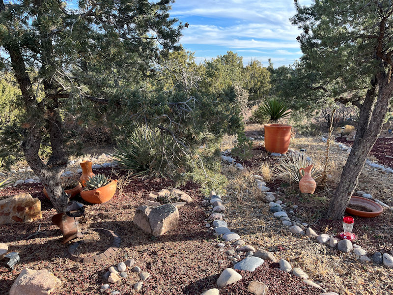
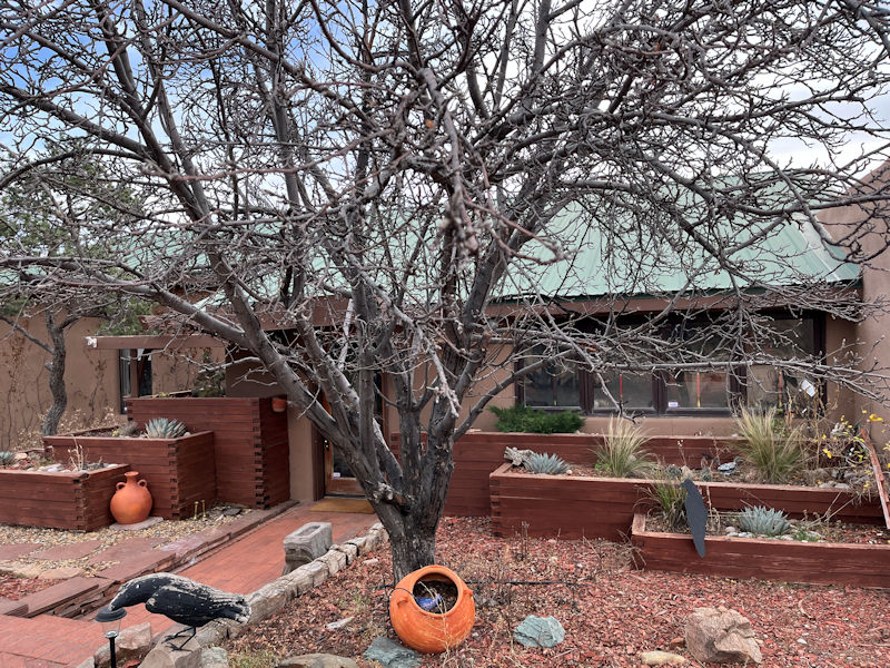
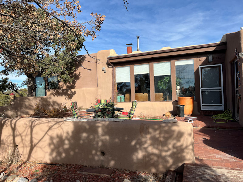
Another view of the garden . . .
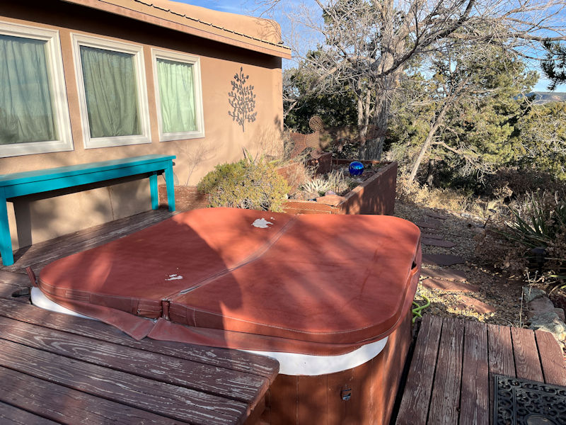
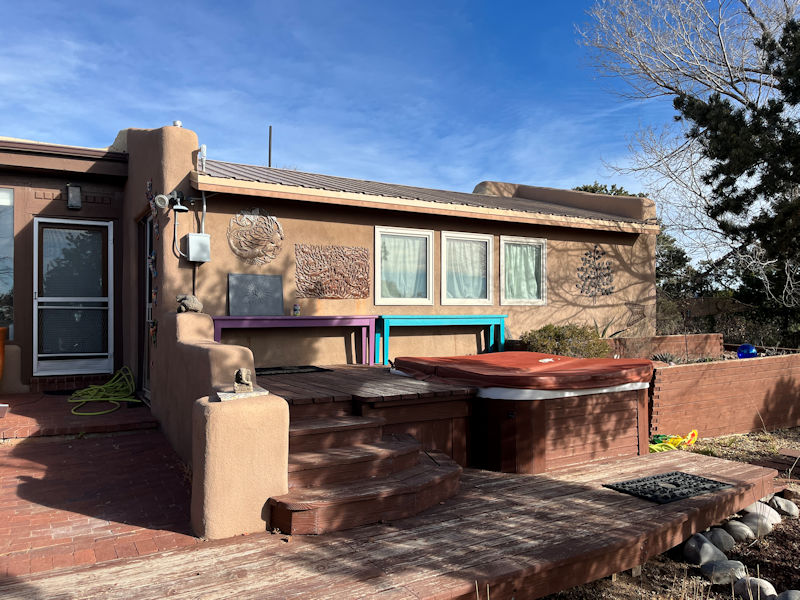
. . . and here's the hot tub.
-- When do WE get to go out?
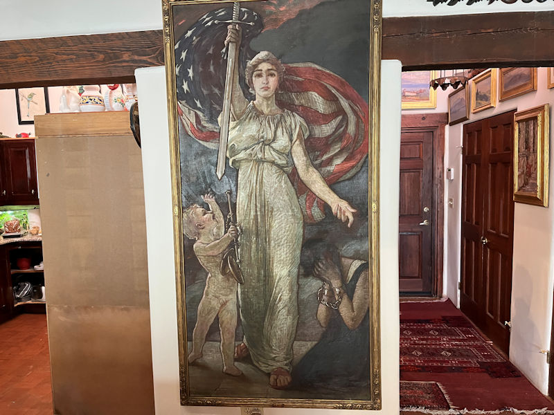
A work of George Barse, to sell war bonds during World War I (the crying lady is Belgium)
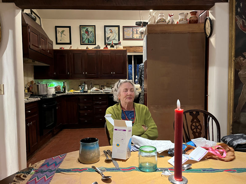
Self-satisfaction at the dinner table
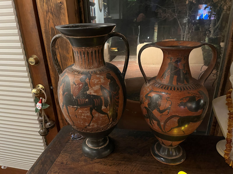
Amphorae
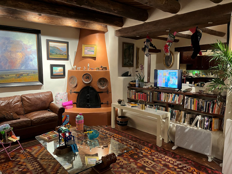
The living room again, with many kid's toys
Another fine day, 26 December 2025
So we're off to MAD-rid.
Next up: A visit to the artists' community in Madrid, New Mexico
 Dwight Peck's personal website