You may not find this terribly rewarding unless you're included here, so this is a good time for casual and random browsers to turn back before they get too caught up in the sweep and majesty of the proceedings and can't let go.
Montgomery Hall Park in Staunton VA, the informal entrance from the southern carpark, 4 November 2025. The little iPhone camera is all charged up.
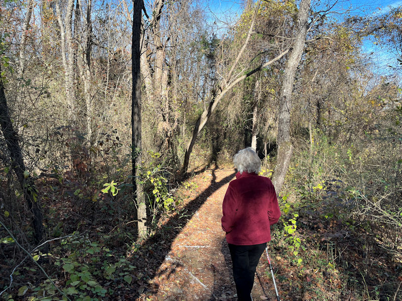
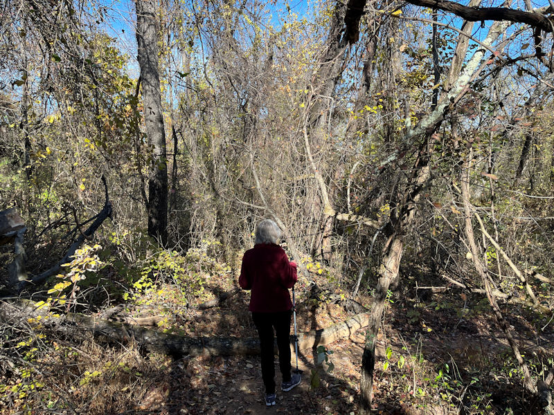
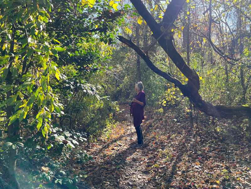
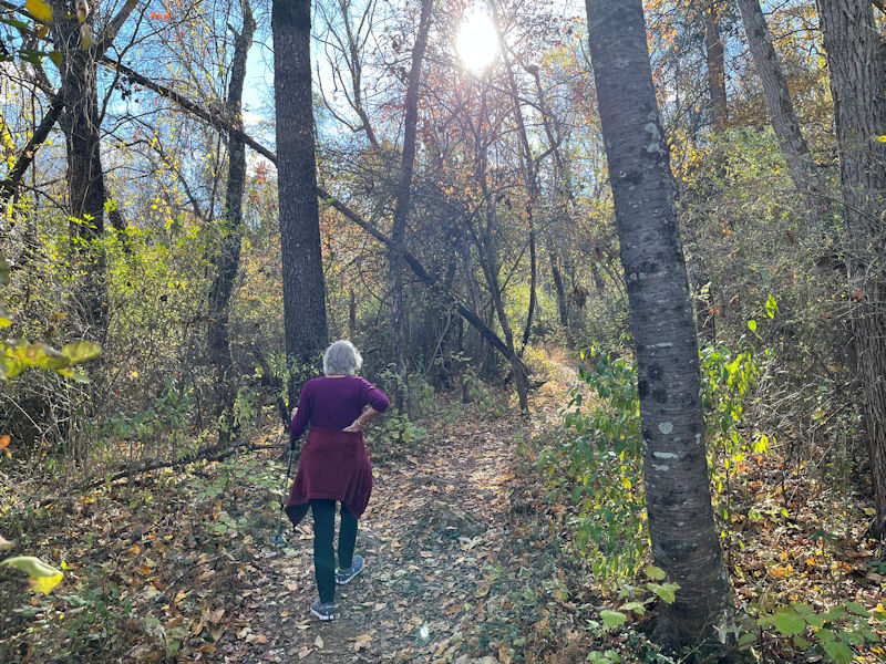
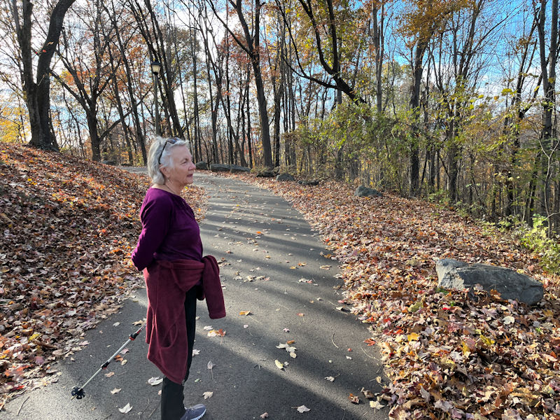
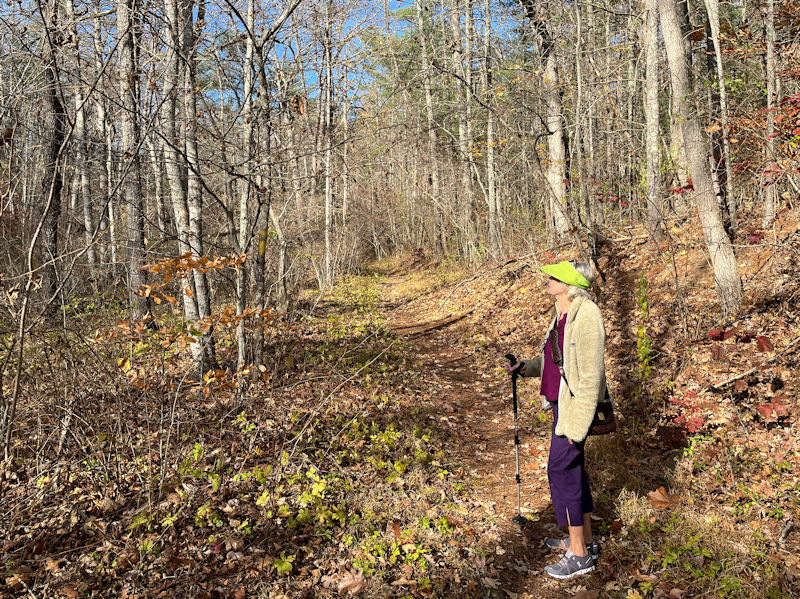
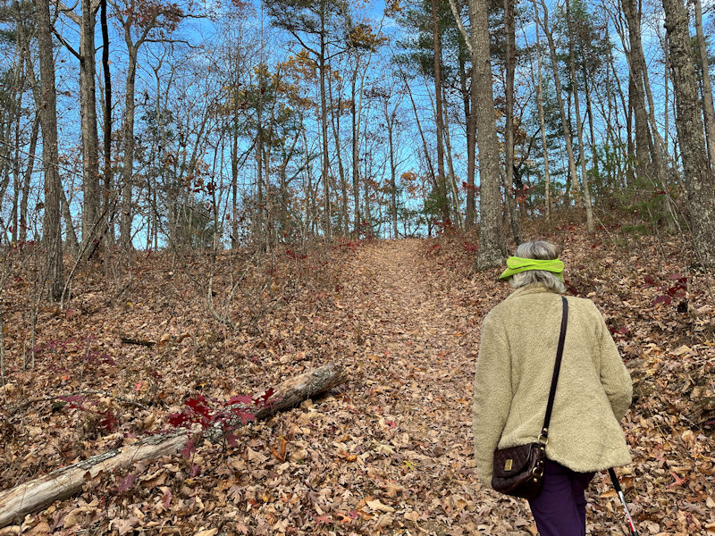
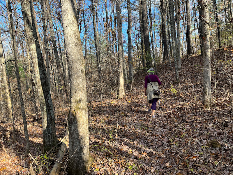
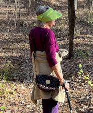
And off we go. Kristin is our guide today.
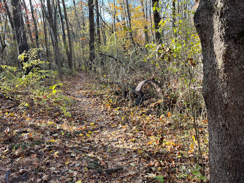
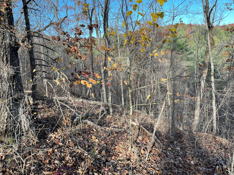
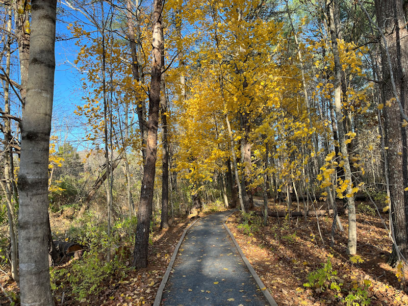
Season by season, and virtually week by week, the vegetation scenery changes.
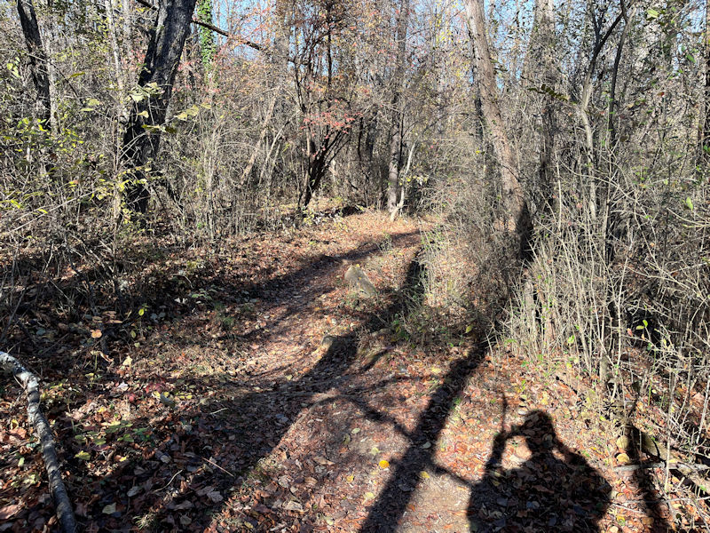
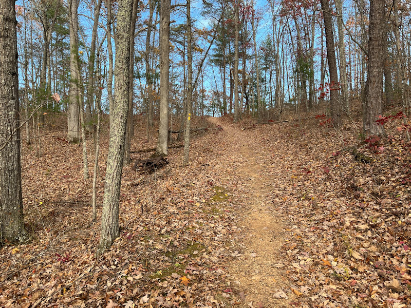
We're on the southern end of the wildly convoluted and loopy Expressway trail (see map below).
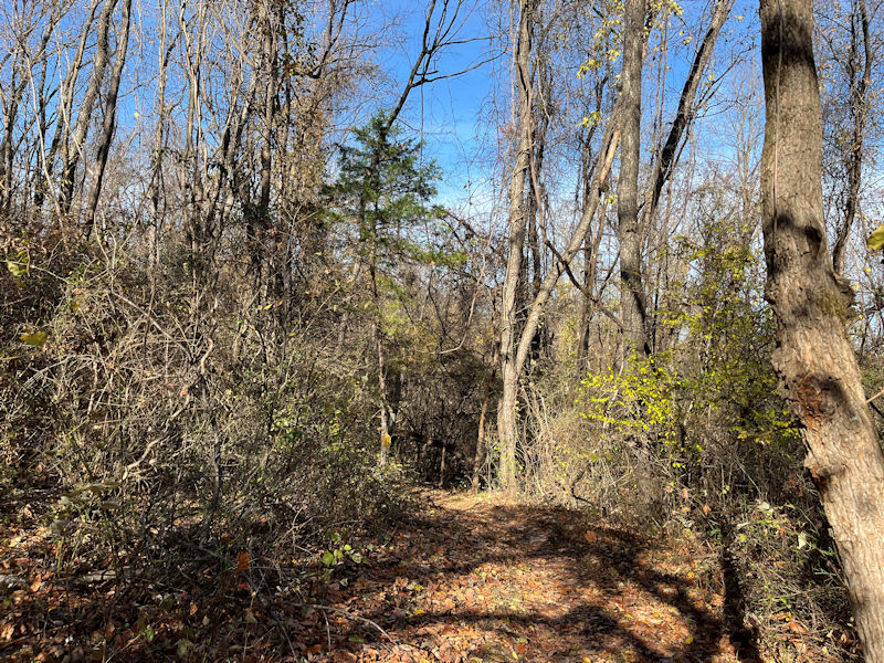
The Expressway has the yellow markers.
Mountain bikers are not awfully uncommon here, and there any number of mind-your-head locations along the way.
So mind your head.
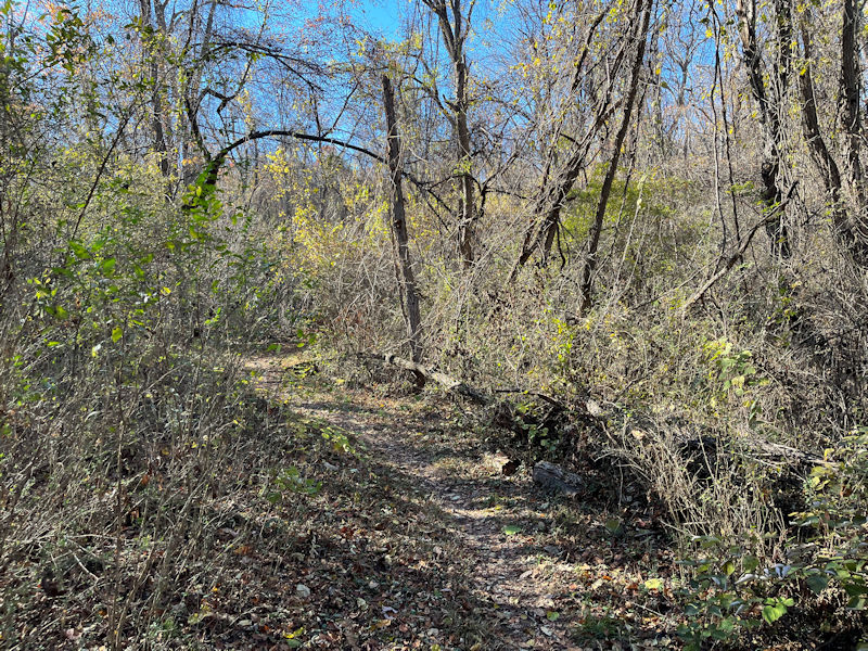
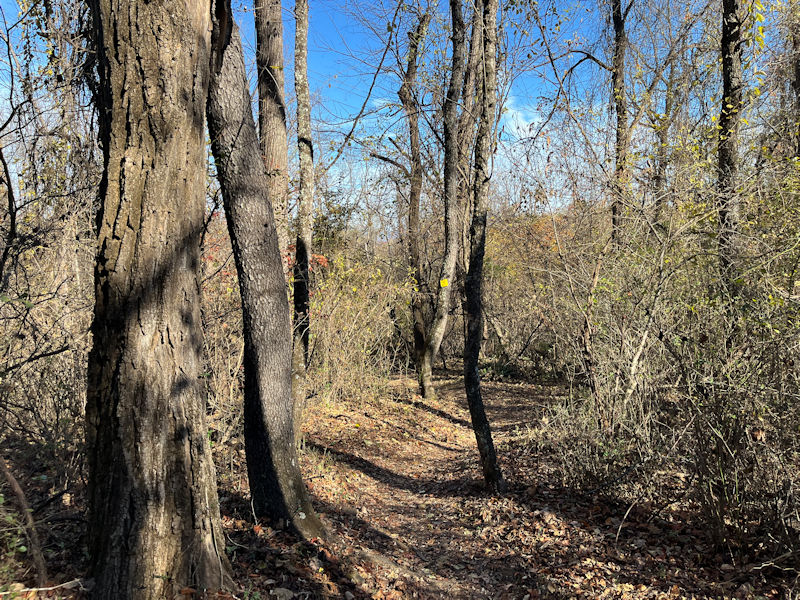
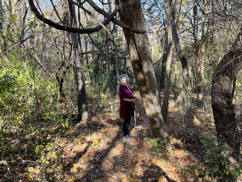
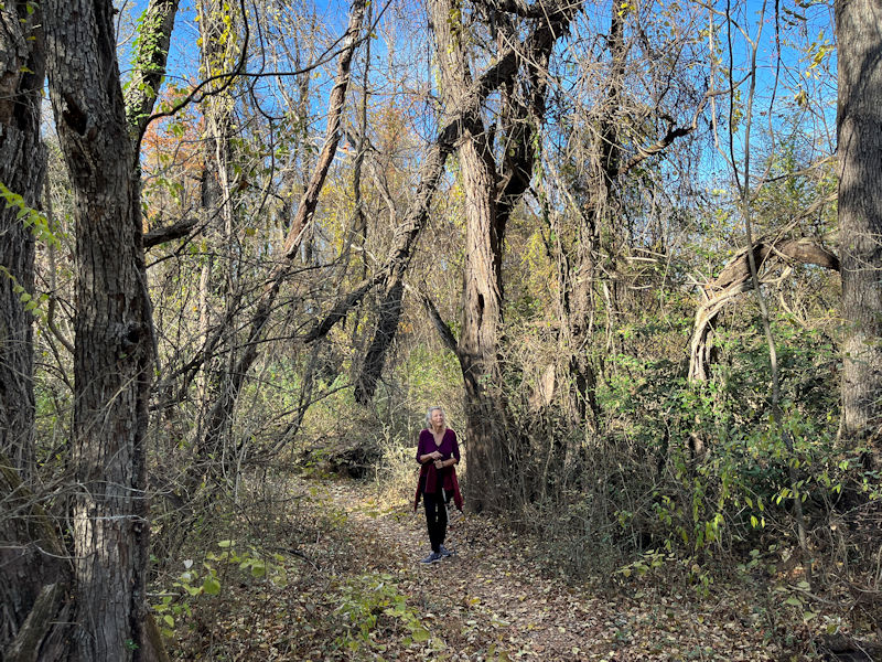
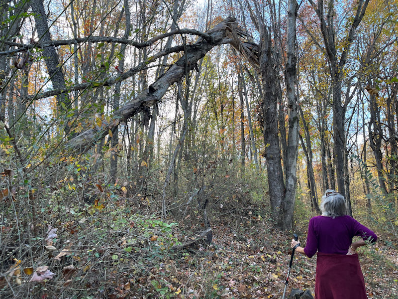
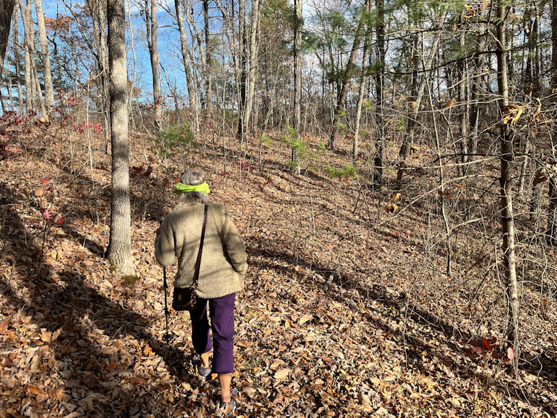
Marching along: choose your own tangle . . .
. . . but not that one.
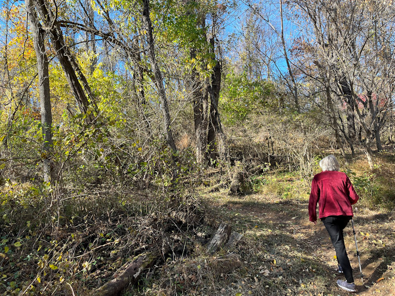
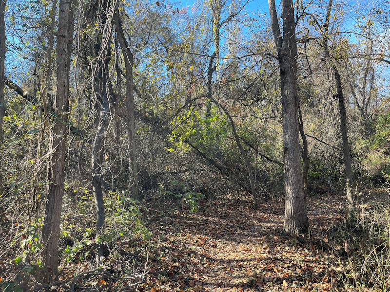
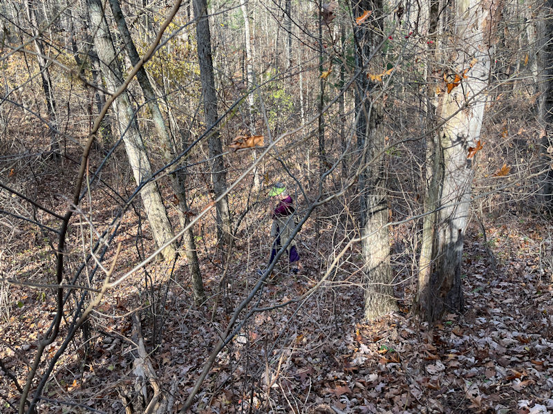
Along with the trail loops, lots of little ups and downs, and sometimes . . .
. . . a tree mushroom.
Which way now? As you wish, but . . .
. . . let's not wander off the trail.
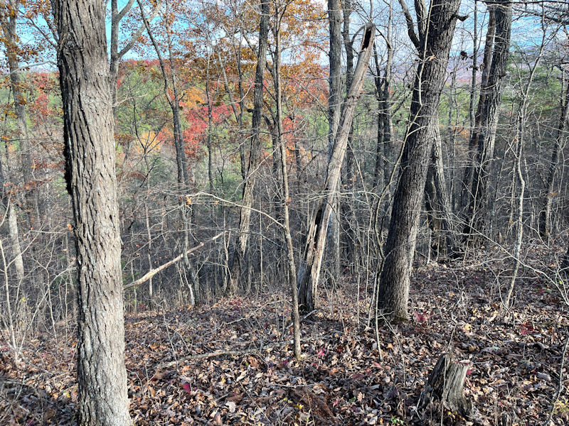
We're peeking out of the jungle now at some sports fields across the way.
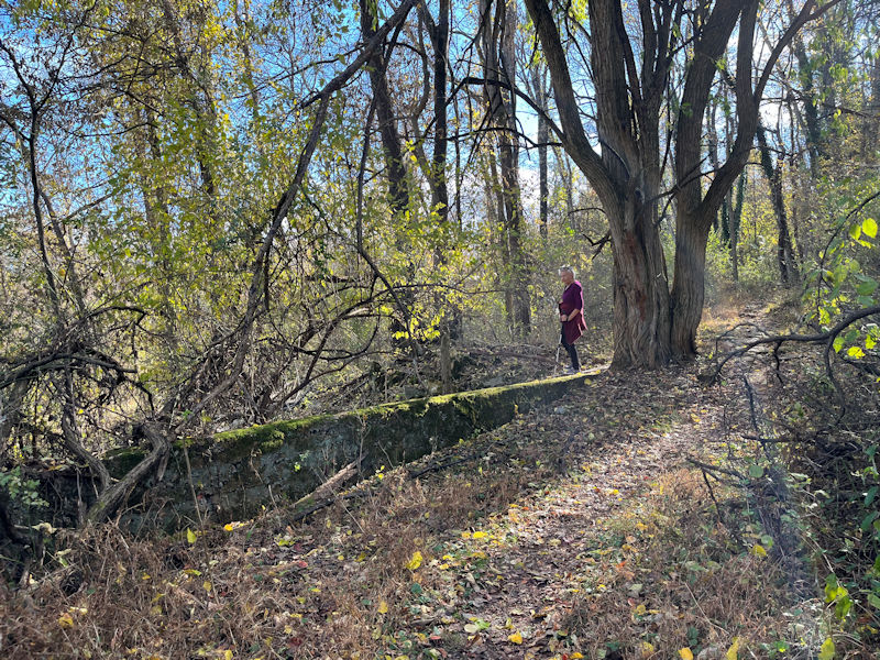
This is a little dead-end signposted (long ago) as the 'Rock Garden', though there's no garden and not very many rocks. Just this former concrete wall. We'll ignore it and continue our progress up the hill.
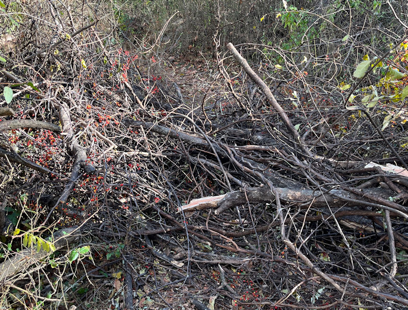
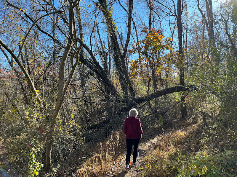
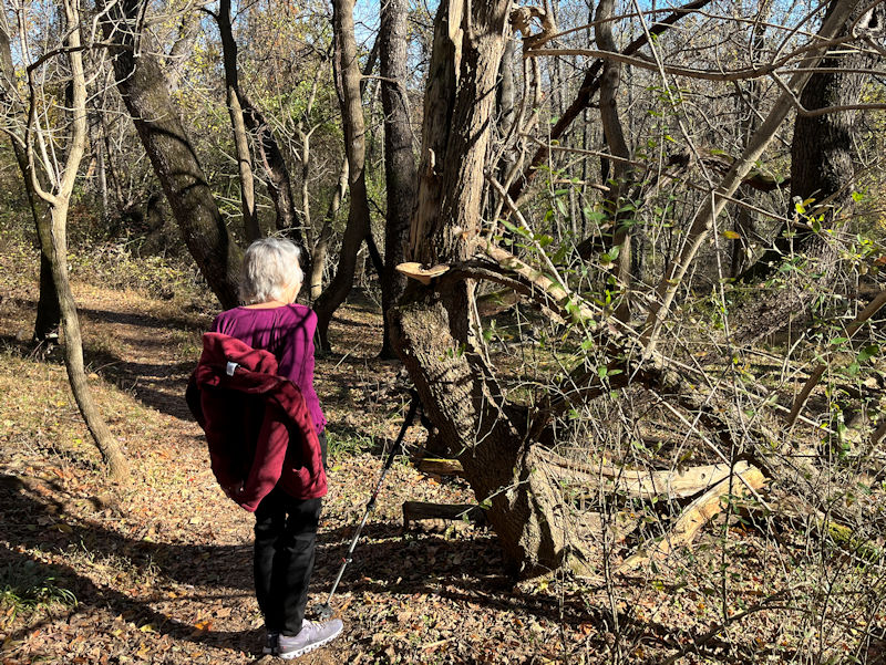
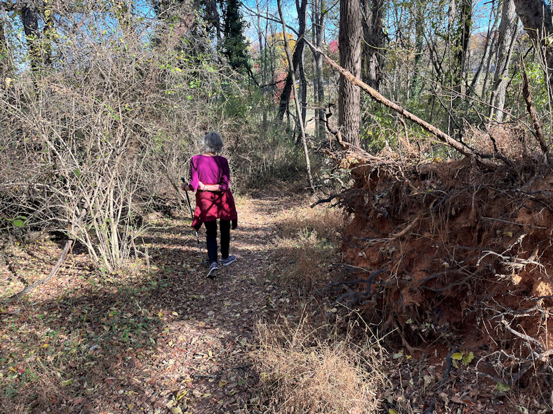
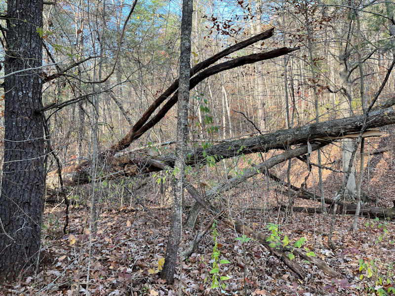
Uh oh. A great bunch of newly collapsed heterogeneous nasty stuff across the path.
Where's FEMA when you need them?
-- We can do this!
-- If I could do it, you can too, probably.
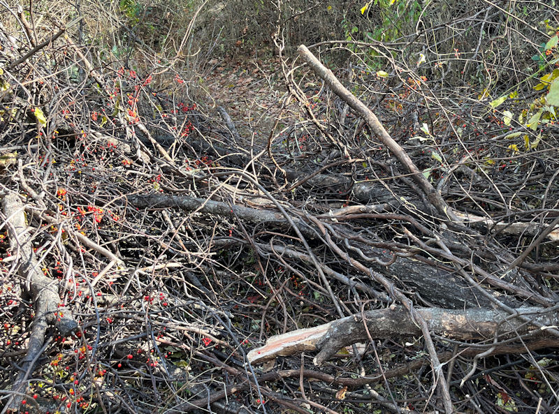
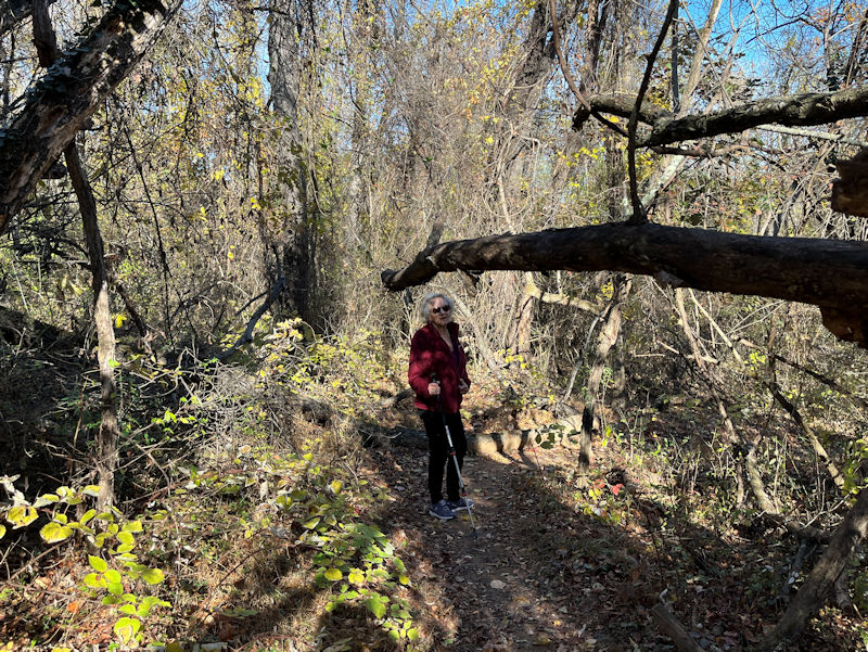
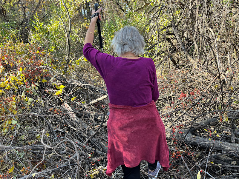
Okay, here we go. Good job we brought the Leki skipoles today.
A subsequent phone call to the park authorities, and they promised a maintenance crew in short order.
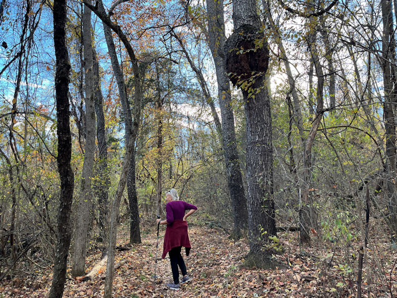
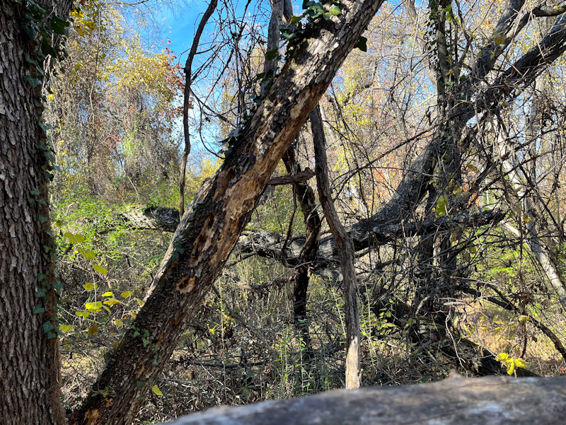
We press on. Don't stand under the monster burl please.
Nor under that.
Still on the Expressway, we arrive at this fender-like bit of rusty metal, which coincidently marks the upper end of the feral top section of the Fern Gulley down to the right, and, also probably coincidently, an inconspicuous unmarked crossover route up to the former tepee landmark on the Scout trail.
With some trailless bushwhacking thrown in (to avoid looking directly into the sun), we've emerged at the top of the hill in the center of the Yulee trail, with a few picnic pavilions and what not.
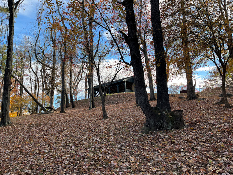
Like that one . . .
. . . peopled at the moment by a congregation of hilarious teenagers.
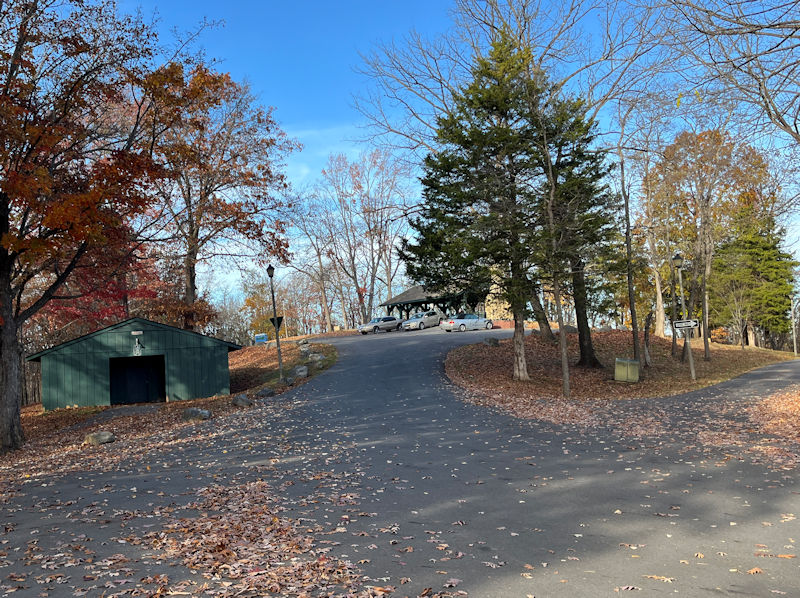
Now just a semi-uninteresting plod down the access road to our electronically overcomplicated Toyota Crown Signia, after a fine 90 minute excursion through the MHP jungle.
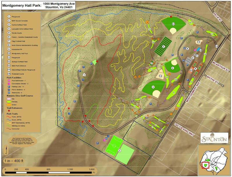
Montgomery Hall Park trails: Scout in blue, convoluted Expressway in yellow, and simple Yulee in red (a few unofficial crossovers & the Fern Gulley are not shown).
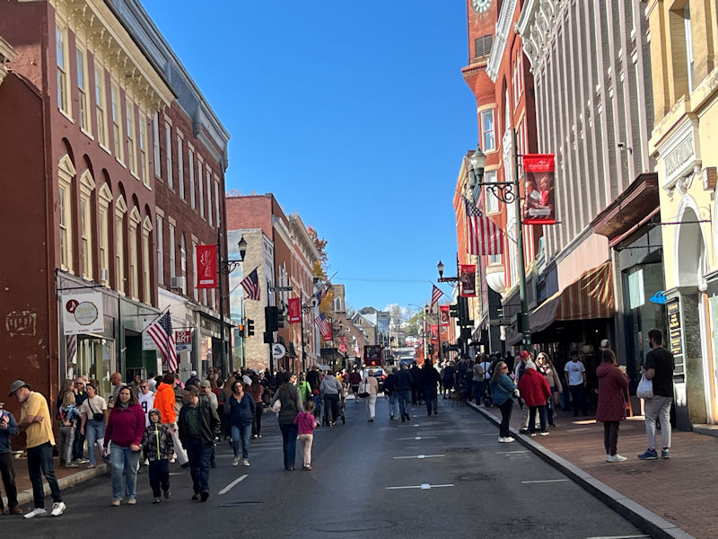
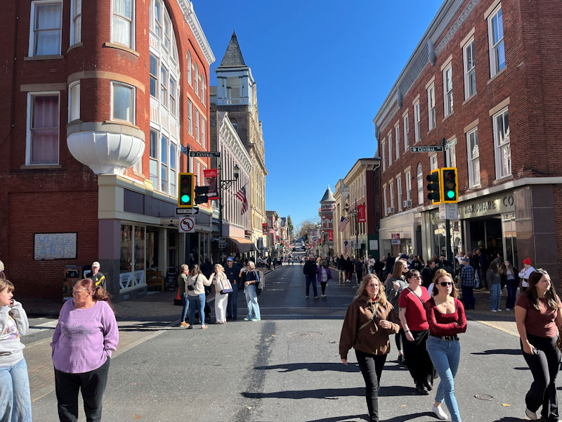
Alerted by noisy clamor in the streets, we've realized that there's a parade going on down on the main street, lots of motorcycles apparently, so . . .
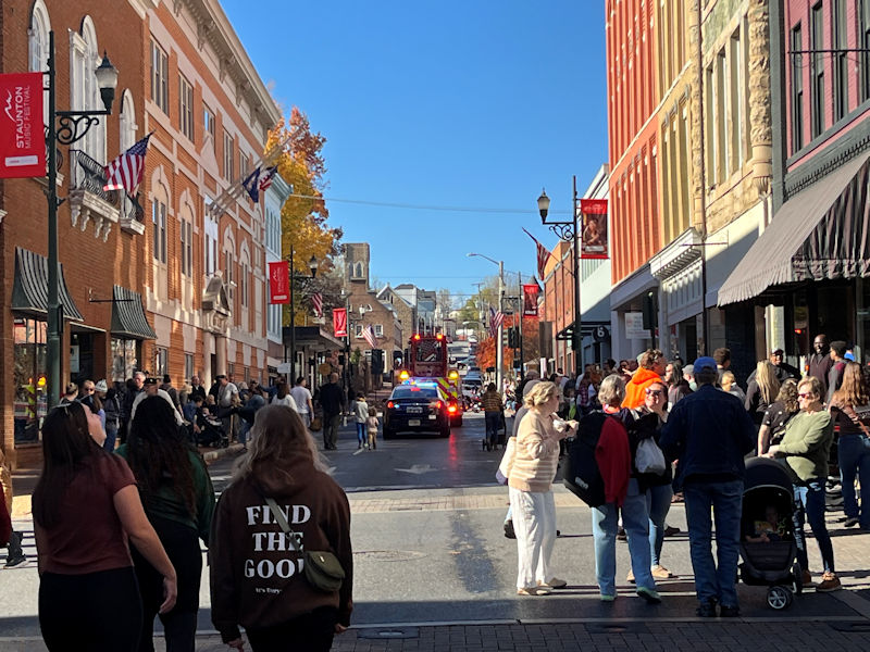
. . . we've sprinted down to see . . . the end of it, as luck would have it. Well, not luck exactly, but we still feel a little bit cheated.
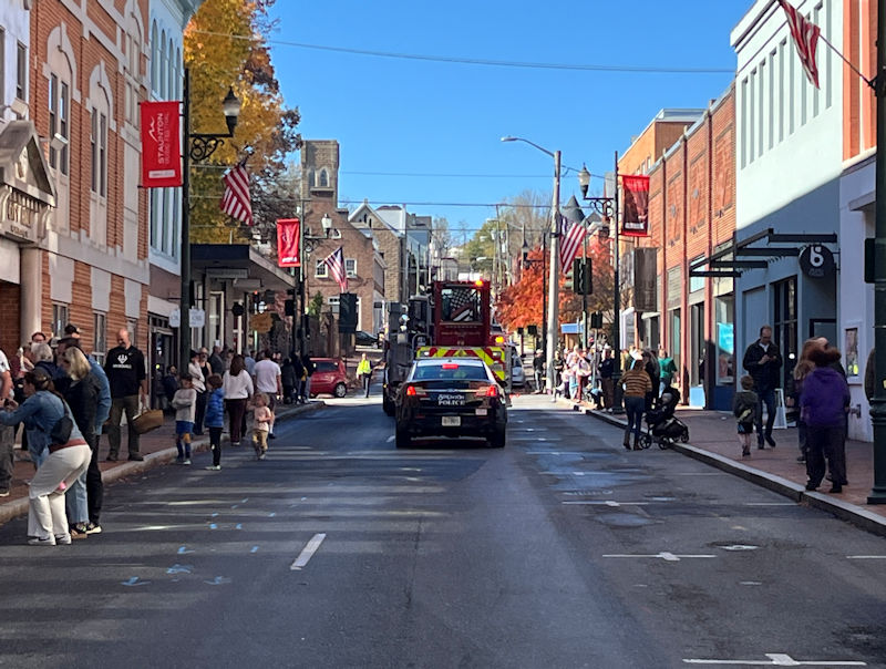
Maybe next year.
We'll just go home and read some more MAGA news on the Internet. Talk about fun!
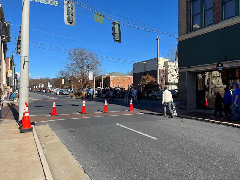
Up Center St towards home. That bright building near the centre of the photo is our ridiculous excuse for classic bank architecture. There are four of those banks parading down the street now, since the town destroyed the black neighborhood there to put in a mall, decades ago, and never got the mall. It just got more banks.
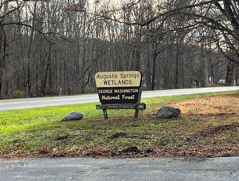
Another fun walk, at [look at the sign]. It's about 20 minutes west of Staunton, at the foot of the mountains.
5 November 2025.
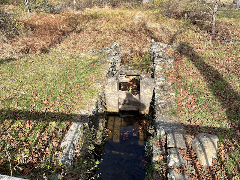
There was a hotel/casino/health spa here from the mid 19th century -- most of it's gone now, but that's one of the healthy water channels from out of the rocks overlooking the place.
It's better to be here in the daylight than on a dark night.
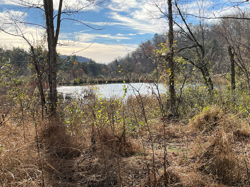
The central pond
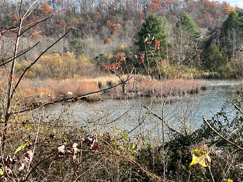
We thought we were photographing some ducks here, but we can't pick them out now. They can be very elusive.
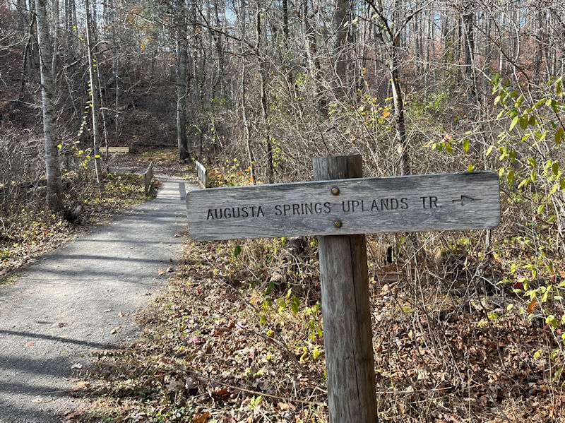
Normally we take the Uplands Trail, with some variations.
Gazing up at the next mountain over, which sports serious No Trespassing signs. It's a government facility for (on the other side of the hill) the training of the elite Hotshot firefighters and 'smokejumpers'.
After 20 minutes in, we're starting up onto the ridge. (Not everyone seems best pleased.)
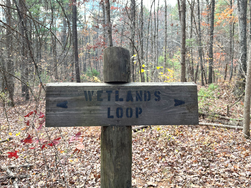
One expresses surprise at finding that sign there. The wetlands loop is down around the central pond. Perhaps it's meant to indicate, if you're lost, that you can go back down in either direction.
It's very odd.
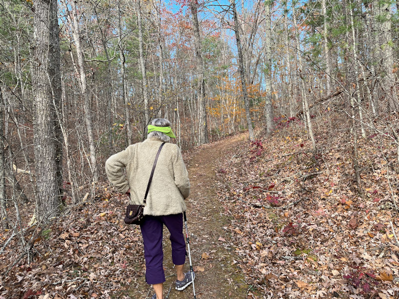
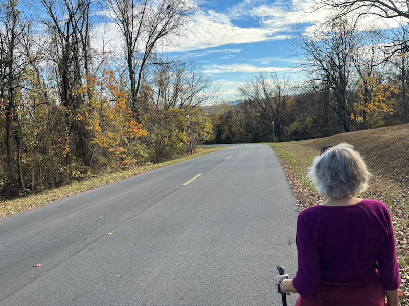
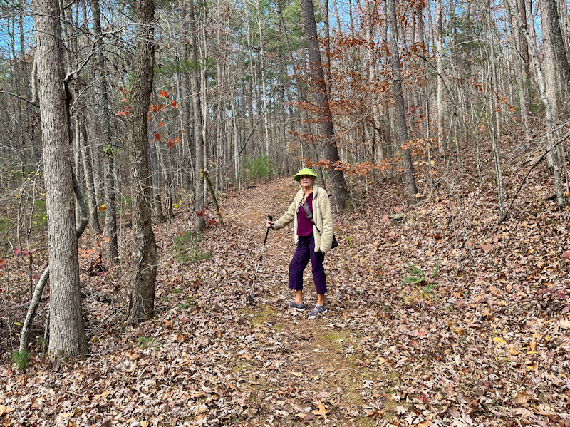
Progress. And we've brought along our Leki skipoles.
Nearly there
Any moment now. The Uplands Trail continues down the other side of the ridge, but on certain days aging knees argue for choosing the somewhat-gentler unmarked path down the spine of the ridge.
This, at the moment, is ever so much to be preferred.
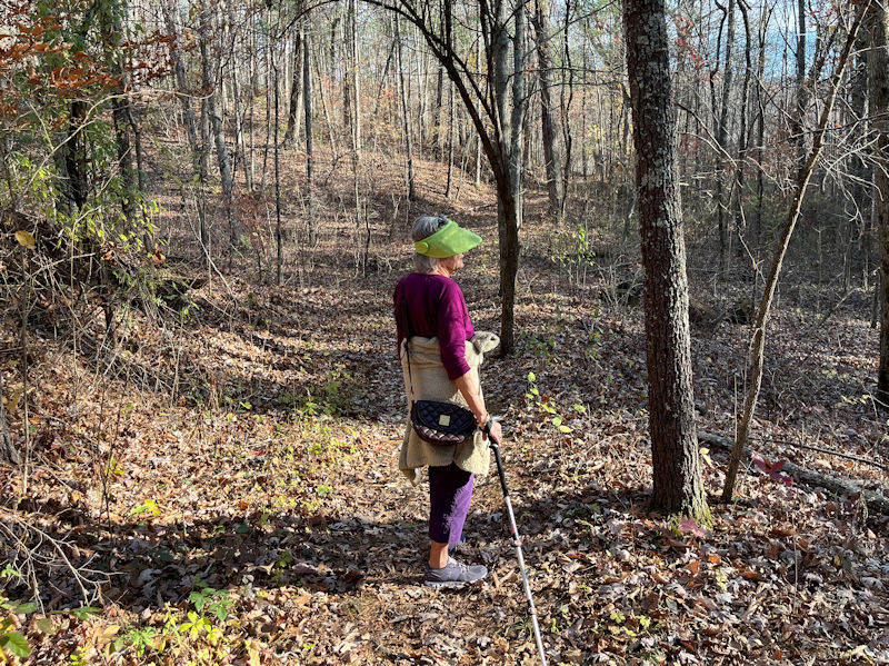
As a matter of curiosity, we're taking a moment to peek down over the other side of the ridge.
It's precipitous!
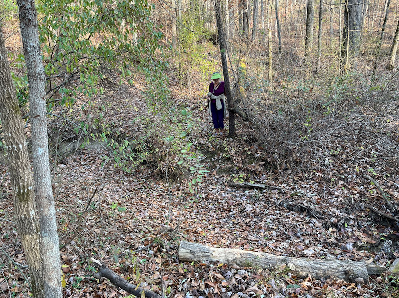
At the bottom of the spine path there's a crossover path to the other side of the Uplands Trail, and this is it.
Our guide is scoping it out for us.
Fascinating scenery, but in a moment we'll be coming to the creek, which may require deft crossing.
Happily, it's, if not dry, nearly so, and the rest of our party is trying to be encouraging. So here we go.
-- That wasn't so hard, was it?
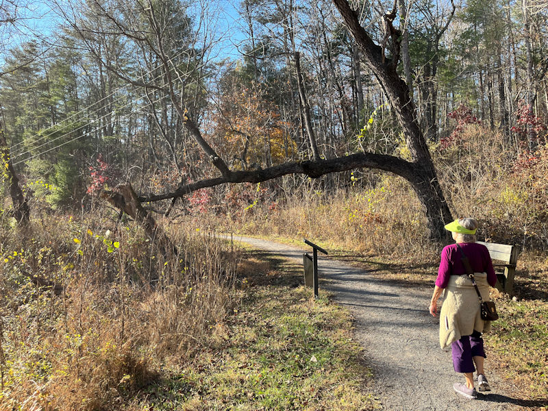
That's our habitual reading bench, seldom used in November.
That's the only other bench in the park (not counting picnic tables), and it's just been replaced with an updated version.
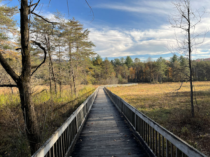
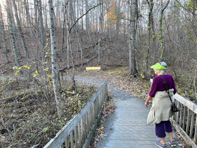
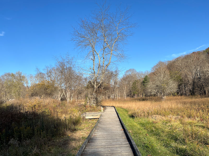
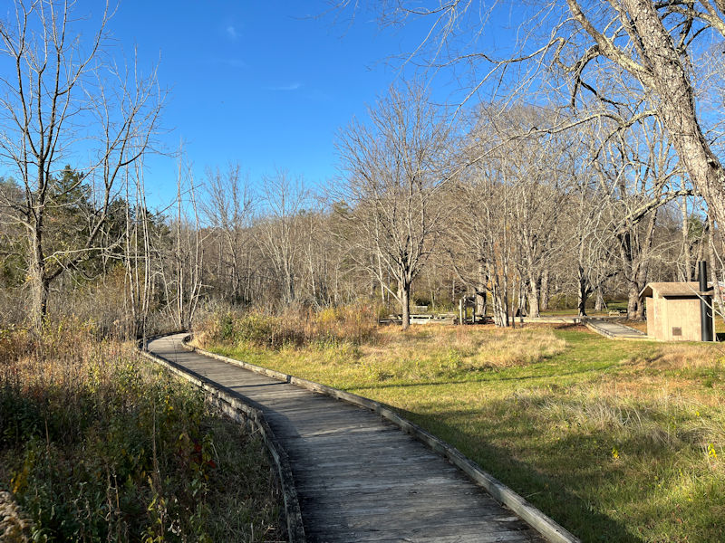
The boardwalk
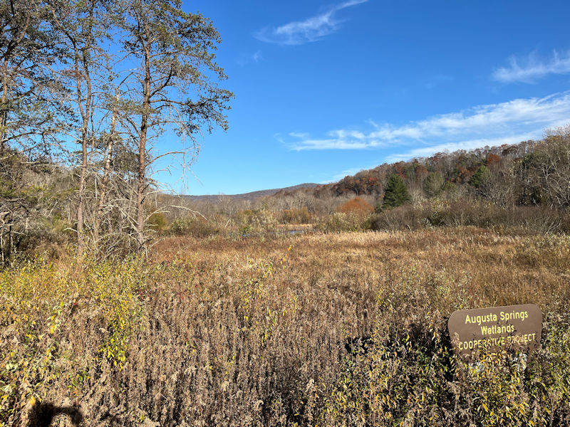
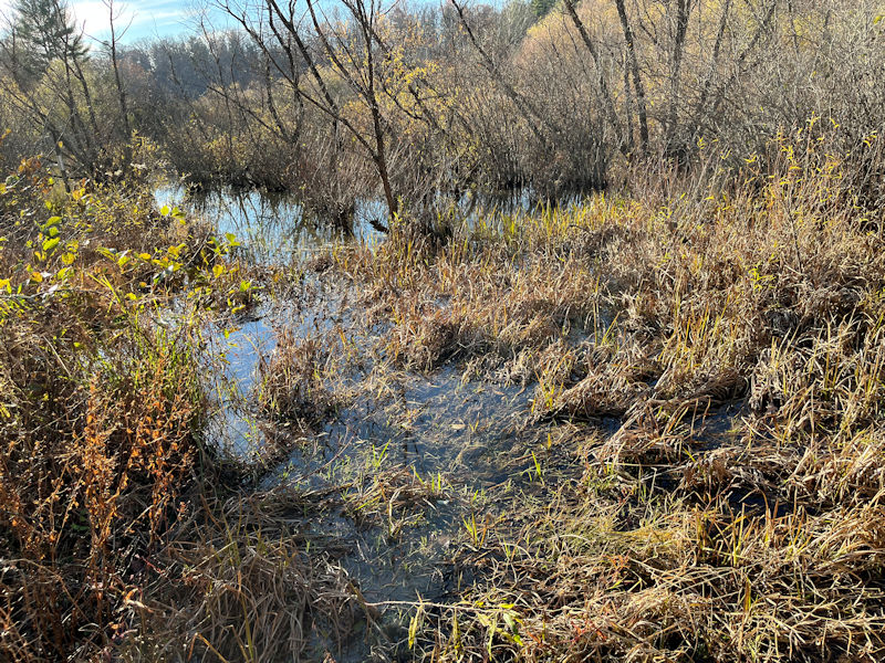
A proper wetland, though small
Wheelchair access, since last season
The final dash to the finish line
Stay on the boardwalk!
Back to the carpark. Ninety minutes well spent (let's check the 'number of steps').
Next up: The Sherando cliff trail and scenes from the Christmas parade
 Dwight Peck's personal website