You may not find this terribly rewarding unless you're included here, so this is a good time for casual and random browsers to turn back before they get too caught up in the sweep and majesty of the proceedings and can't let go.

Off the I-64 and motoring south on the Mt Torrey Road past Lyndhurst, over the Deplorables Hill ('Coming down!!)(Any day now)(You just wait!) towards Sherando and, farther on, its lovely lake. 9 February 2022, dead of winter, as it were.

The authorities have dropped the barrier on us, worse luck, so we'll have to . . .

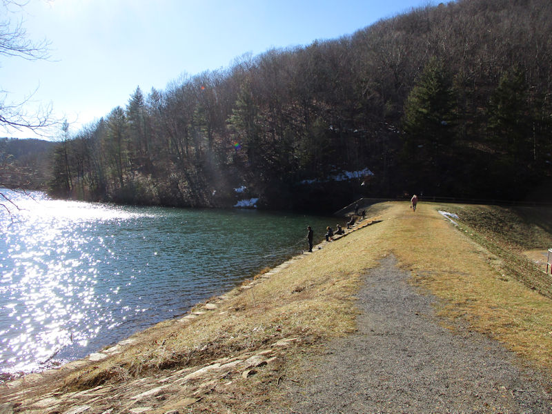
. . . sneak up the back road to the dam at the far end of the lake, and join all the fisherfolk.
We're debating whether to attack the Cliff Trail up the hard way or around by the easy way. (Easy way won.)
Everybody needs a hobby . . . but really; it's nearly freezing here.

-- Coming?

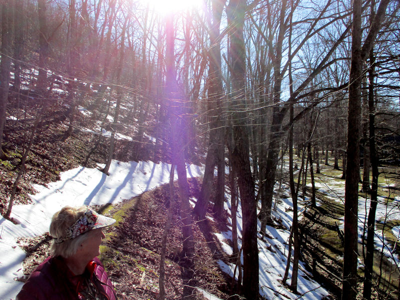
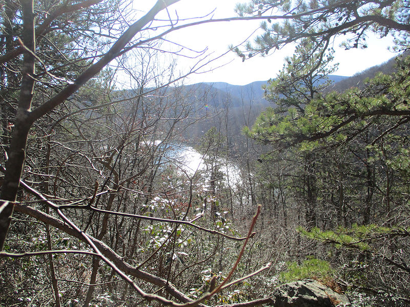
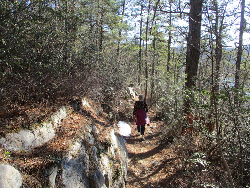
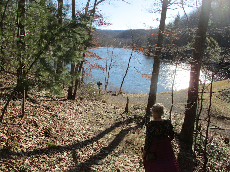
This is the east side path above the lake shore, bound for the far end of the lake.
Yikes

Right here in the American South
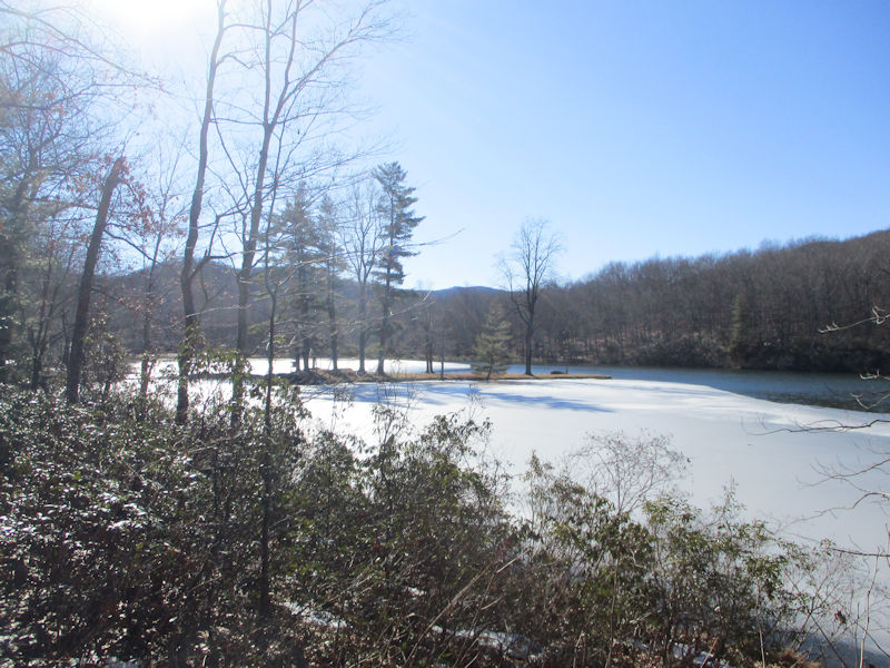
Our adorable little island looks nearly iced in.
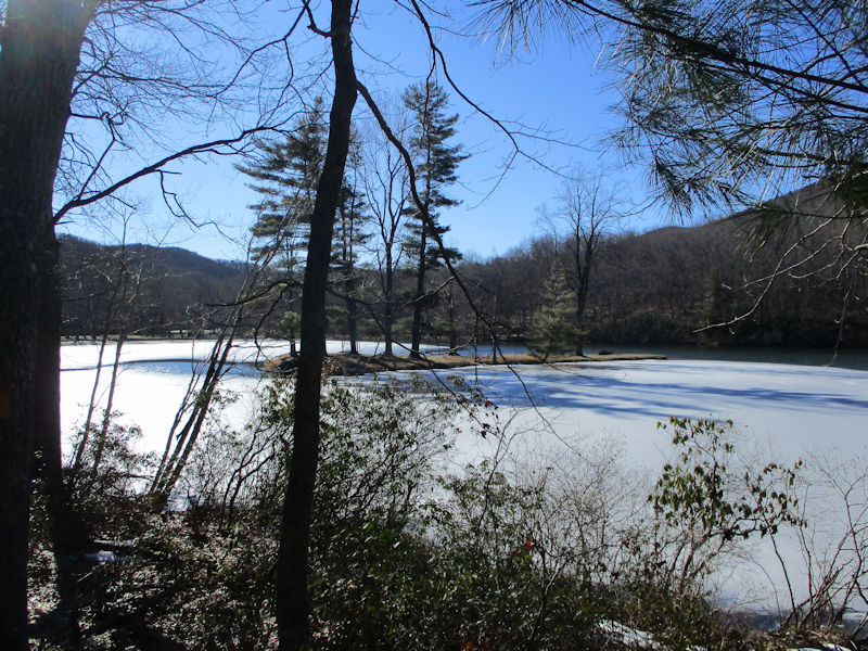
Though tempted to try walking gingerly out to the island, we recall our mission to walk up the Cliff Trail.
Perhaps another day.

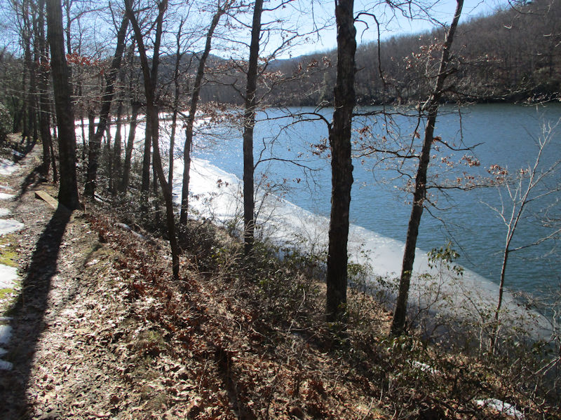
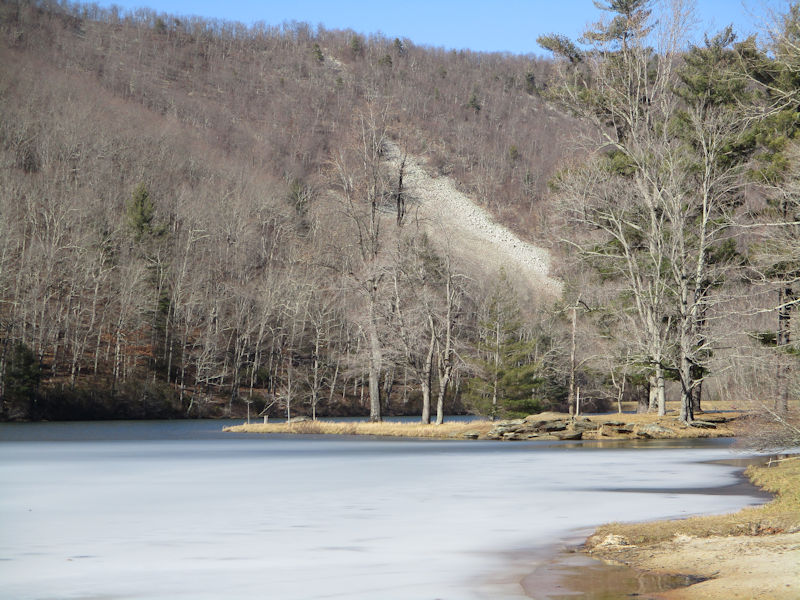
Not entirely iced in
The Sherando Ice Sheet
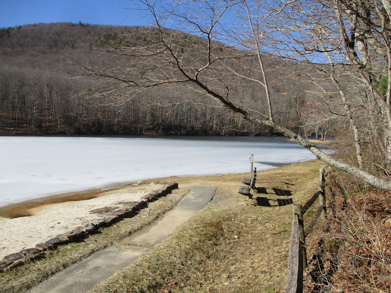
Our favorite reading benches are looking lonely and forlorn and, as far as we're concerned, must stay that way for another month or so.
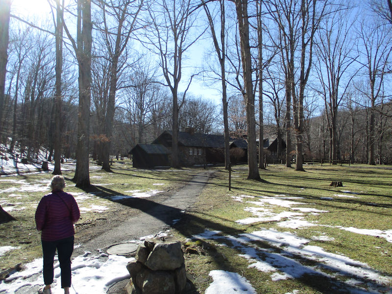
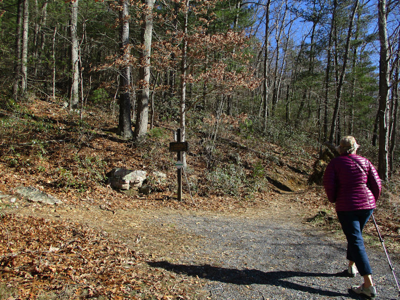
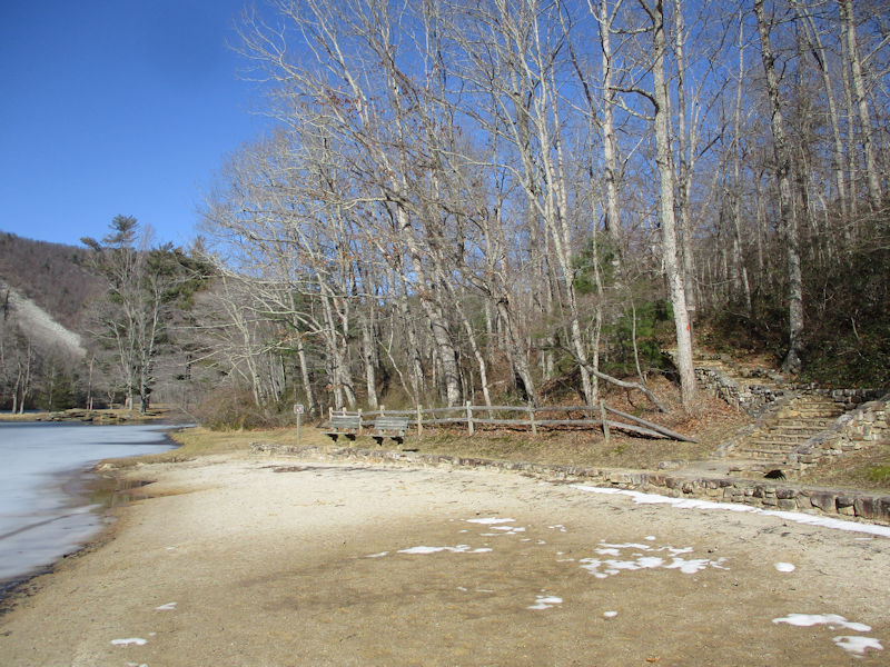
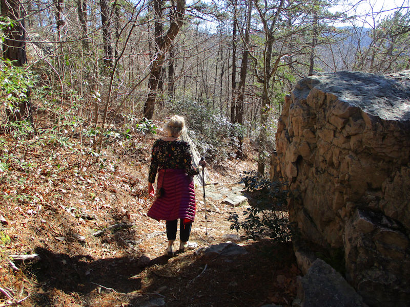
The visitors' centre and the Cliff Trail trailhead just beyond it on the left
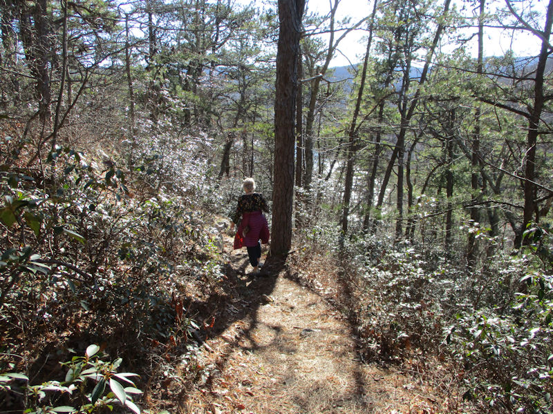
Doubts have been communicated about the presence of snow on the Cliff Trail, unadvised for hikers in comfy open-toe shoes, but assurances are being given. The upper path will be entirely snowfree!
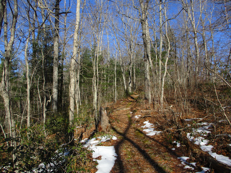
And so it is. 'O my prophetic soul!'
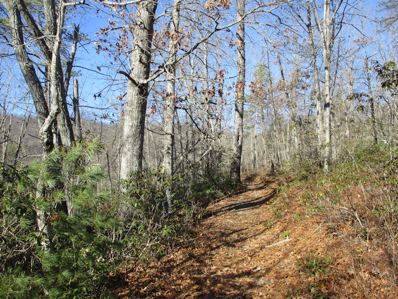
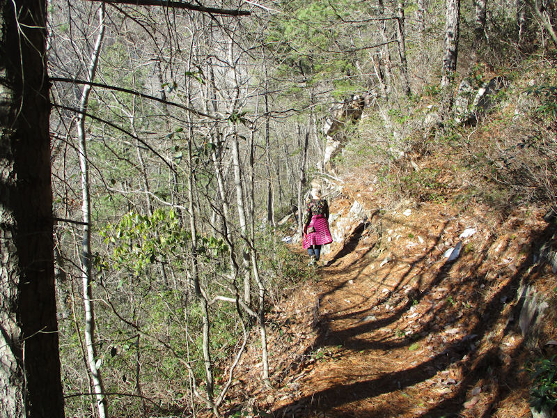
We're approaching the high point on the uphill trail . . .
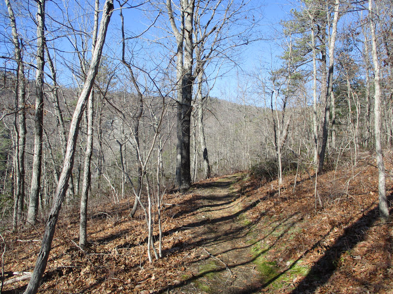
. . . oh no we weren't. But now we are.
How deceptive. But now we are . . .
Sorry, still not; but now we are. This is a little viewing ledge at the high point of the walk.

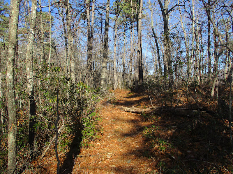
Having absorbed the stunning scenery, we resume.
We're alternating zigs and zags on the way down -- that was a zig, and this is a zag.
Having zigged again, this is still another zag.
And another zig
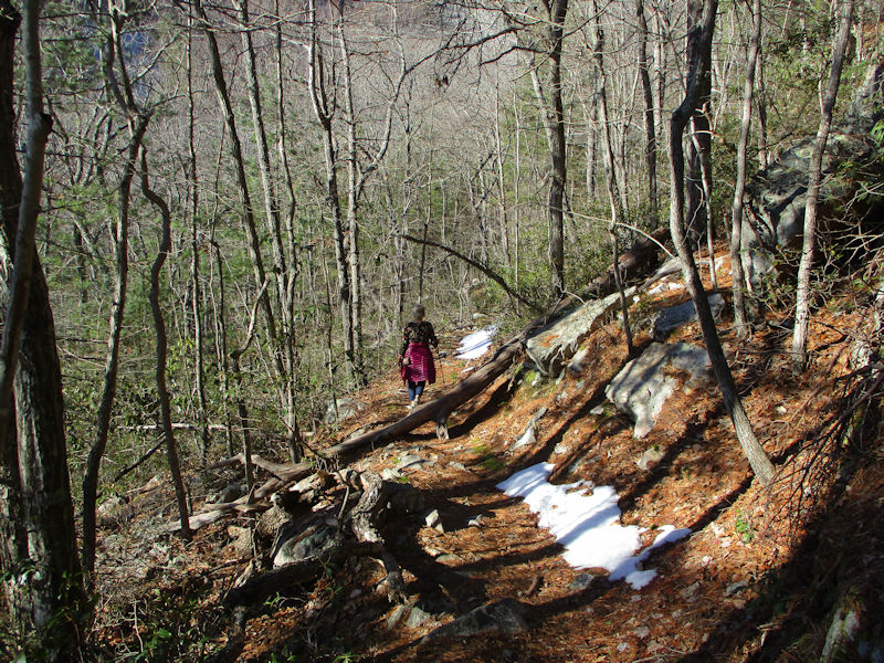
Following on from another zag, here's another zig.
And a final zag
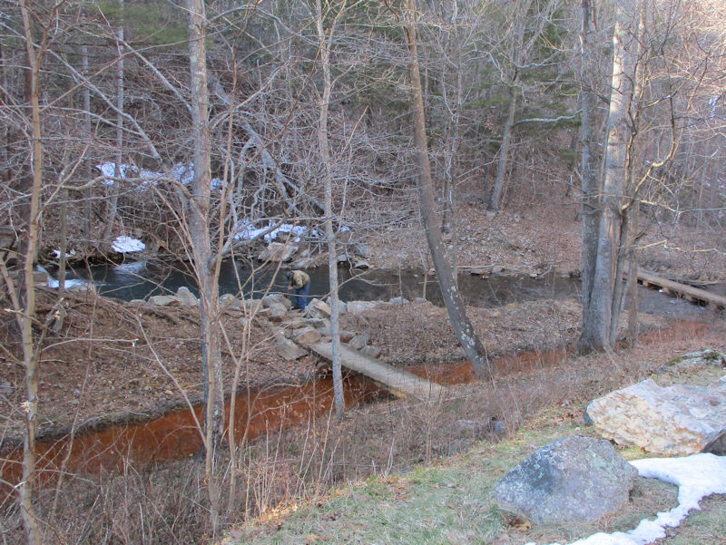
Mysterious goings on
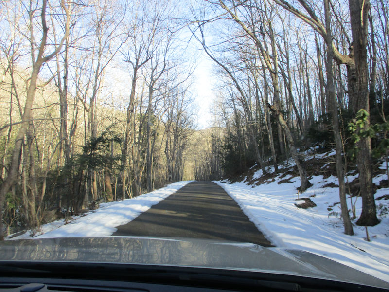
Homeward out the dam-side access road

And onto Mt Torrey Road, aka Rte 664, which just behind us turns up towards the Blue Ridge Parkway (presently closed)
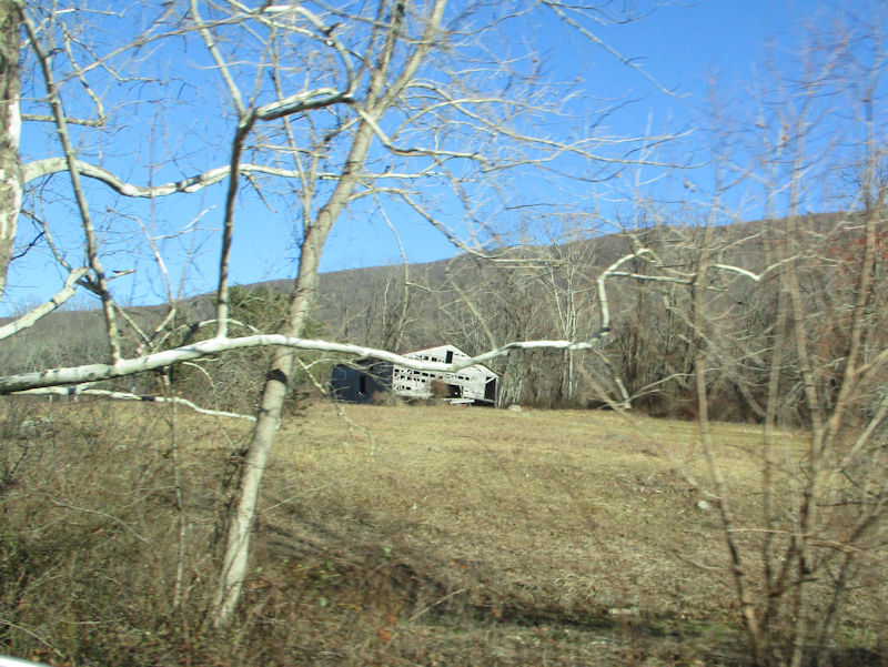
That's the Blue Ridge on the horizon, behind farm buildings that have bravely served their purposes for many long years and are now enjoying a well-earned rest.
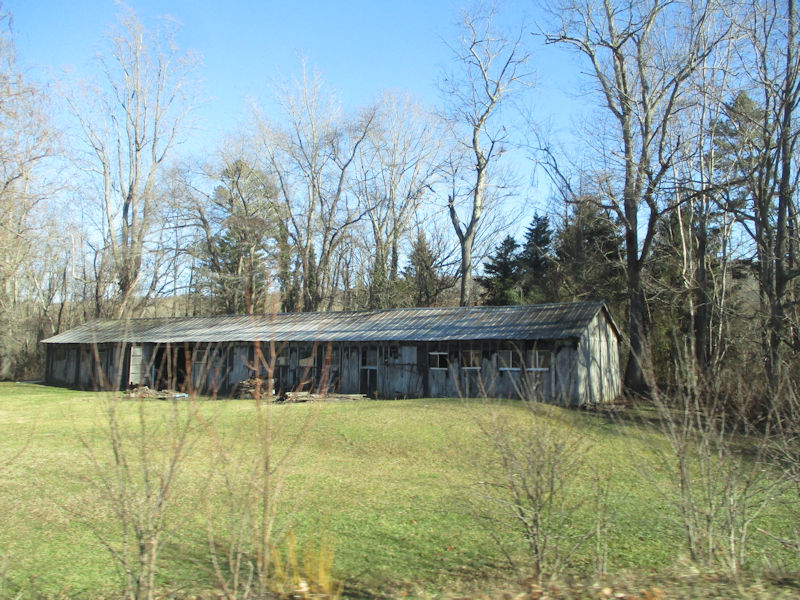
Like that one, too
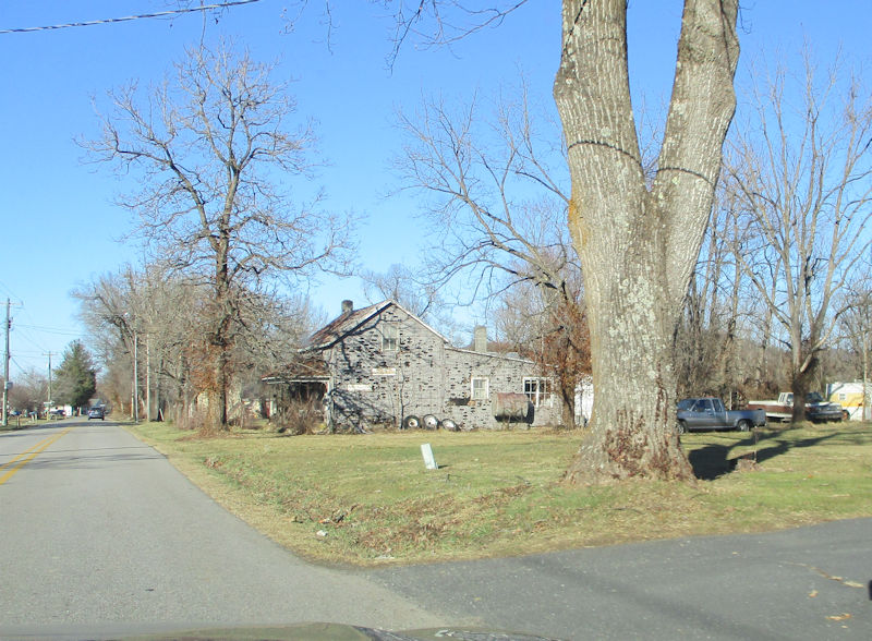
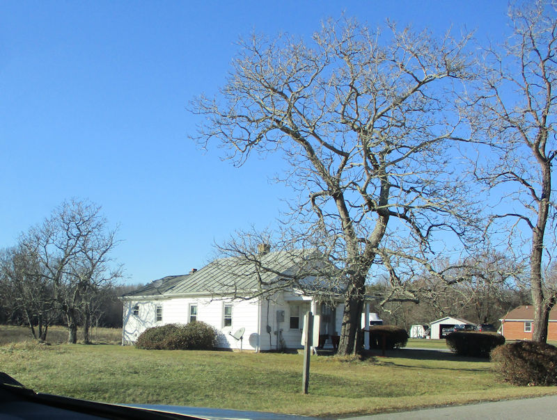
Processing through downtown Sherando, a small rural community, population 688
(it's not exactly a town, it's a 'census-designated place')

The fascination of extremely weird trees without all the vegetation disguising their weirdness
Deplorables Hill . . .
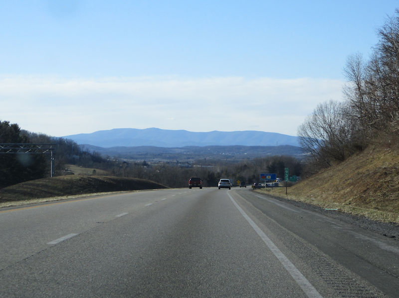
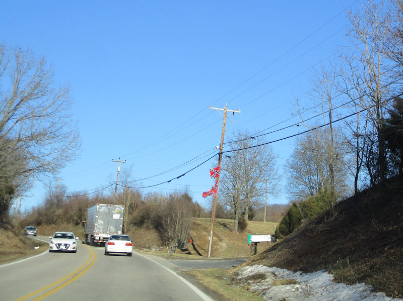
. . . and back onto I-64 at Waynesboro -- that's probably West Virginia on the horizon.

Whenever the grocery cart gets brought out, Choupette claims her place in it.
What's next, then? The North Carolina Outer Banks are coming up soon (with most of the restaurants closed for the season)

Postscript: Last minute additions
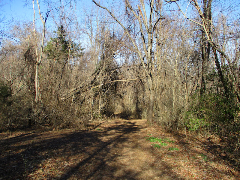
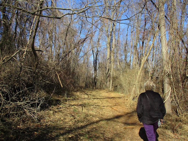
Recently discovered stuffed behind the sofa cushions, here are a few late afternoon scenes of the Yulee Trail at the Montgomery Hall Park in Staunton. 21 February 2022
Grimly festooned trees
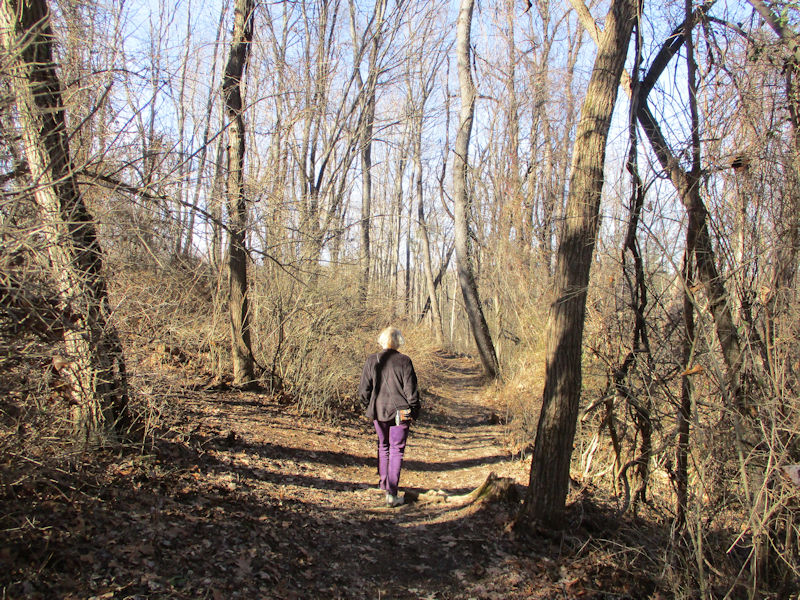
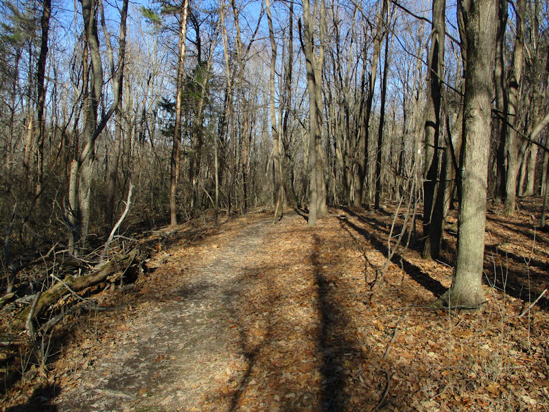
Some of the most walkable paths in the Mid-Atlantic States region

Choupette yawning mightily whilst hiding
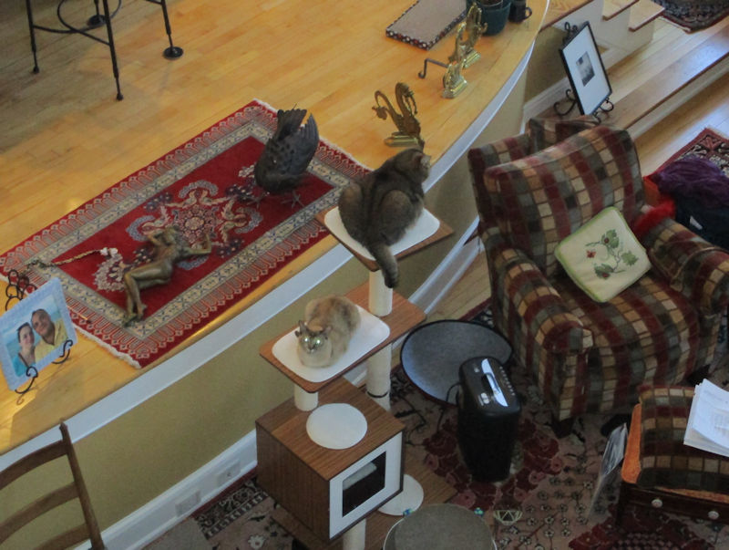
Cats on duty as sentinels on the towers. Keeping us safe.
 Dwight Peck's personal website