You may not find this terribly rewarding unless you're included here, so this is a good time for casual and random browsers to turn back before they get too caught up in the sweep and majesty of the proceedings and can't let go.
12 December 2021
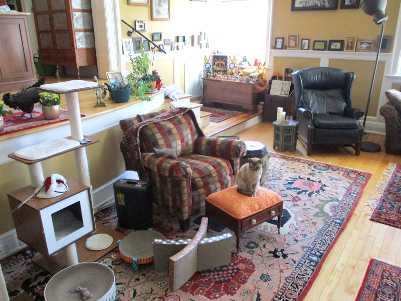
We're off for a bracing walk round Staunton's Montgomery Hall Park, and wondering why Choupette has been motionless for five minutes, staring obsessively at something.
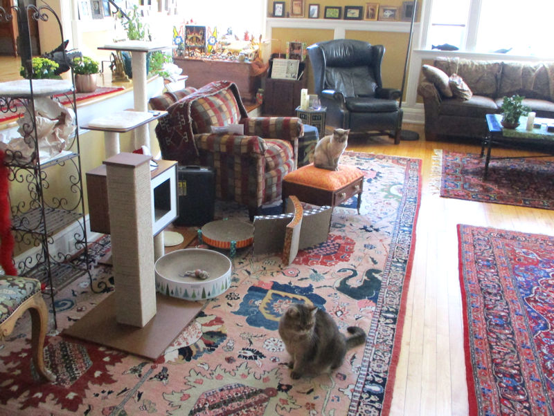
Oh. She's planning an ambush.
Montgomery Hall Park

The park lands were purchased by the town when they were part of the 19th century Montgomery Hall plantation and established as a municipal recreational park for 'the African American community' in 1947. According to the information plaque at the entrance, 'Staunton's park system was desegregated late in the 1960s' (i.e., 1969).

The plantation was established in 1808, and the first Montgomery Hall was built in 1822; that one was destroyed by fire in 1906 and replaced more or less on the original design, and it's now the home of the city's Department of Parks and Recreation administration.
This way to the bracing walk
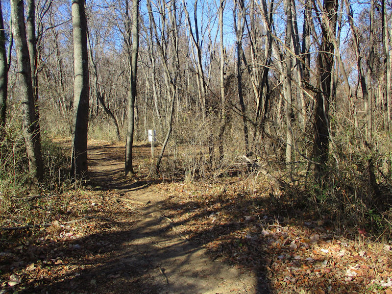
We've walked along the 'Yulee' trail about 10 times in the past year, a basic half-hour's ramble round a small hill with some picnic facilities on top located in woods at the southern end of the park. But there are actually three planned trails here, for walkers and mountain bikers, and today we're going to mix and match a bit and make our own itinerary. From the carpark at the south end of the park, that's our usual access to the Yulee trail.

Today we're turning off, however, down the 'MHP Expressway' trail, which winds about itself in torturous curves and ups and downs all the way back to the ball fields at the northern end of the park. There is a third trail, called the 'Scout' trail, which wiggles all round the western and northern perimeters of the ca.150-acre park -- for some time, we've been treating a part of that one as if it were just a longer alternative to the final sections of the Yulee path, adding ca.15 min., without realizing that it's actually a separate and much longer trail in its own right. 'Cool'.
Like this:

Base map with our markings for access & exit and our crossovers

Most of the woodland parts of the park are grotesquely wrapped in these evil-looking vines or whatever they are, which are Tolkienesque but also sort of beautiful in their own way; noteworthy, in any case.

Rolling through the intricate loops of the southern lengths of the Expressway, we're skirting the access road to the picnic hill, over there on the right.
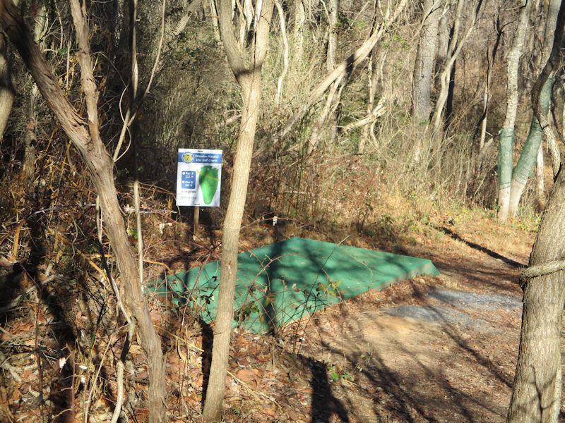
It turns out that the Montgomery Hall Park features, not only these trails, as well as a swimming pool, three baseball fields, several tennis courts, and a playground, but it's also got, woven in and out all over the entire park, the Staunton Kiwanis Disc Golf Course, a.k.a. the 'Frisbee Golf', in which players need to fling their frisbees some 'par 3' 180-220 foot fairways and land them in a sort of bucket. This was all news to us until we ran across this 'green'.
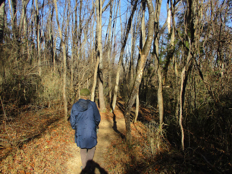
The Expressway in particular is planned to wind sinuously all about, to cover a few miles in about 800 yards N-S as one's crow might fly.

The trail itself is wonderful and seems to have been maintained by staff, in terms of overgrowth. From time to time, we find some small branches and logs dragged across it to create some mountain bike excitements.

Who knows what might leap out at us, fangs bared?


In some places the undergrowth seems thinner, probably when one of our loops ventures closer to the open park areas, but then . . .

. . . it all closes in again.
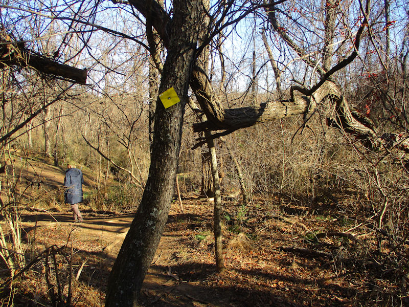
The Expressway is marked with yellow tags -- the Yulee has red ones, and the Scout trail is in blue. These correspond to the photo of the park's trail map below.
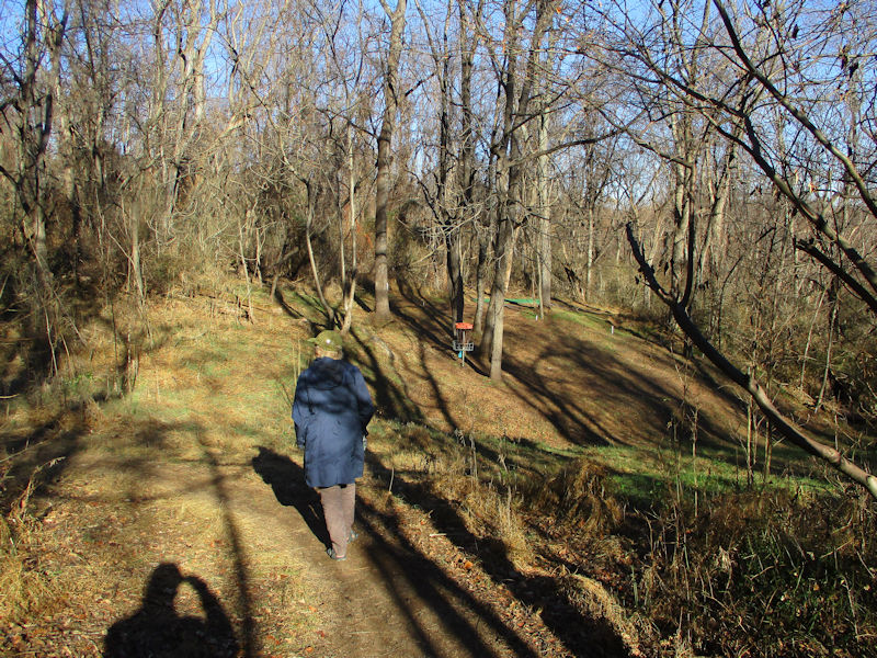
We're breaking briefly into the open at the head of one of those frisbee fairways, then to retreat back up the hill a ways to the left. Two young men are having a wonderful time, laughing and proceeding this way from the far end of the fairway down to the right.

It's hard to believe that this is the way our God of Nature intended this part of it to end up; but if there should be a competing God of Predatory Invasive Species, we could be in the middle of a cosmic civil war, a Manichean battle over rogue foliage.
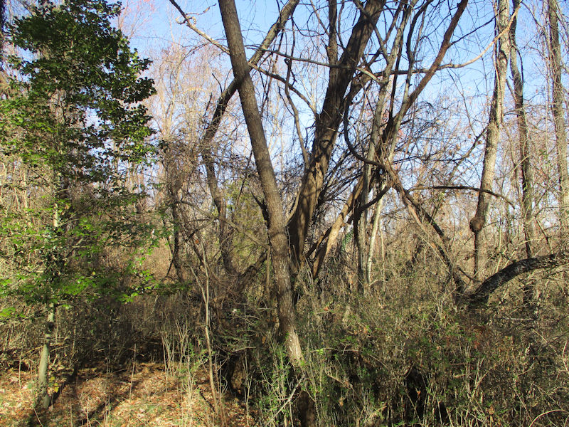
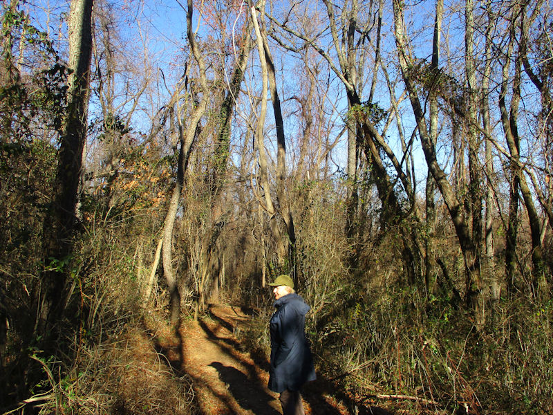
A brief discussion ensues about where we need to liaison back to the Yulee trail -- the improbable views of this member of our party turned out, improbably, to be correct.

Swampy sorts of hummocks all over the ground round here
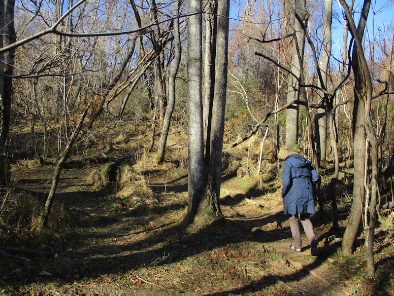
Uphill through the swampy sorts of hummocks
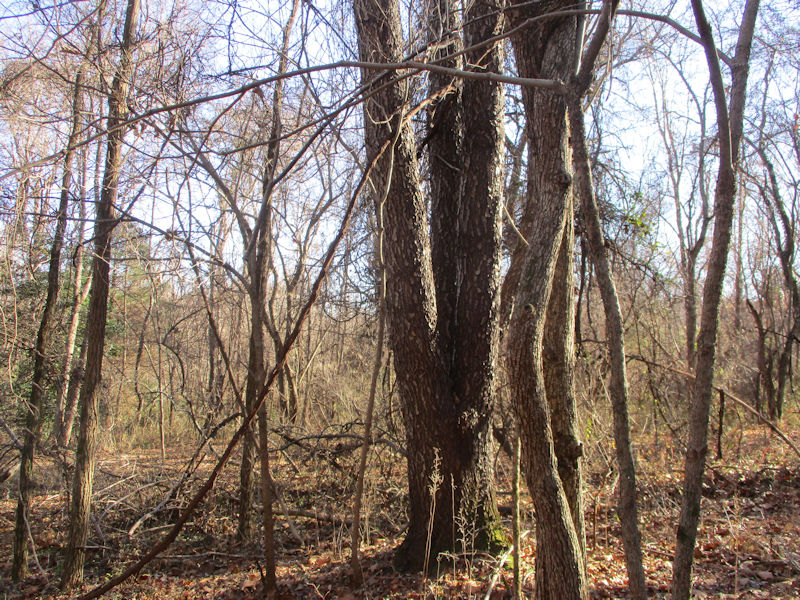
A three-in-one tree
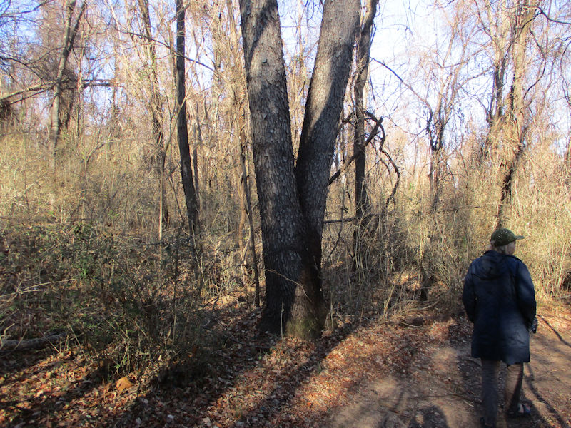
A two-in-one tree
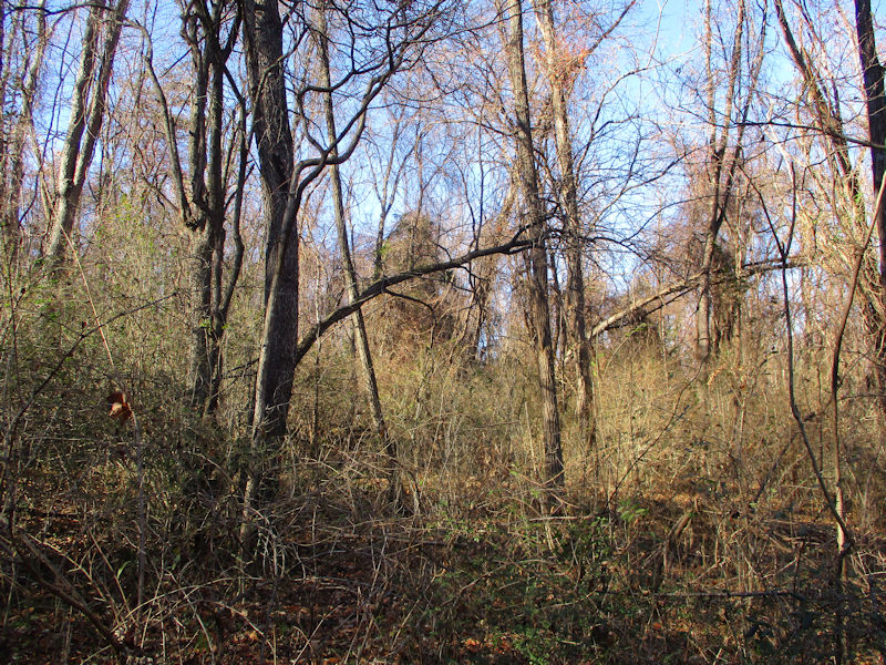
More signs of the dead summer season
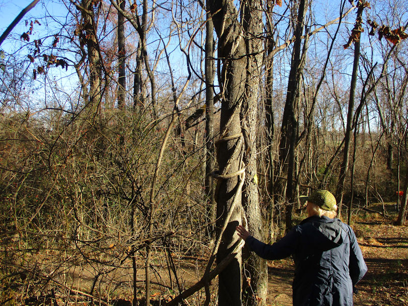
Arboricide by strangling

Here (believe it or not) is the receptacle into which one must fling one's frisbee from a distance away. Carrying on on our path, we ran into the same two young men, plodding along and casting animated glances in every direction -- they'd missed the blue arrow here, signifying the next fairway, and we were pleased to set them on the correct way.
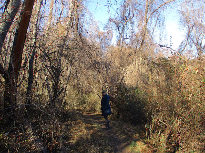
'Ramar of the Jungle'

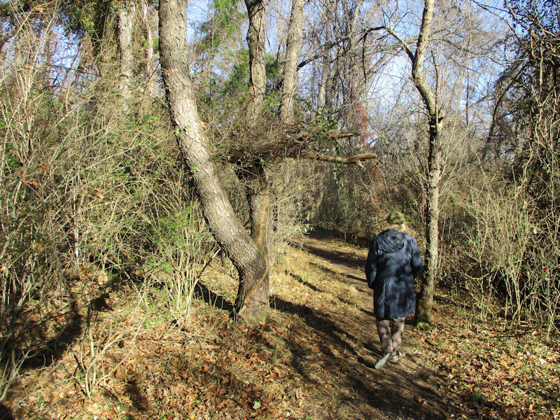
More sunlight getting through; we're near an open area.

And indeed, that must be the Montgomery Hall main building itsownself.

Not long after that, we crossed over to the familiar Yulee trail (of which we've already posted many photographs in the past and need not be tiresome now) . . .

. . . and here we are under one of the picnic pavilions atop the little hill.

But now we've segued over to the Scout trail (passing 'Black Dog Mountain', ha ha ha), which we've normally taken recently to increase the Yulee Interest Quotient considerably.

Farms out to the west, and the Hwy 262 Staunton ring road

Starting down our exit tumble now, to emerge upon the access road up to the picnic pavilions. We've already stuck up many photos of that part already, and fear outstaying our welcome.
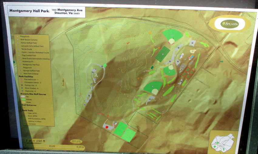
This is the trail sign posted near the entrance to the Yulee -- we've entrusted our cute Volvo to the carpark with the red dot. The yellow Expressway wanders all over the place, like a track in an amusement park (with Everglades, Matterhorn, and Gobi all wound together, invisibly adjacent to tourists). The barely visible red Yulee trail circles round the pavilions on the hill, and the blue Scout trail goes all along inside the left and upper perimeters back to the carpark in the northwest corner. The light green splashes are frisbee fairways.
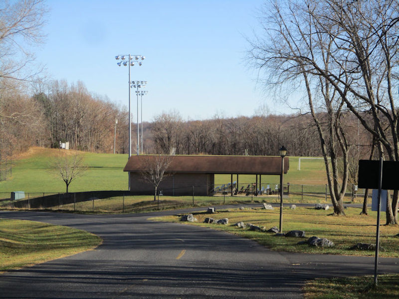
Sports fields near our carpark. BTW, we went back two weeks later to shuffle round the northern parts of the same trails; still more fun.
The crèche is out -- it must be Christmas

The seasons change rapidly and we scarcely notice anymore, but here we find the annual Nativity Scenes already carted up from the basement and spread about advantageously.
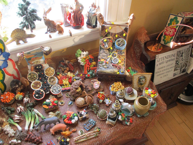
One member of our party, sojourning for a decade in Rome quite a few years ago, began collecting these crèche pieces, handmade in Naples, and there's a great lot of them here now. (The dinosaur is adventitious, and there are a few bits and bobs from other sources, but nearly all of it has been made by Neapolitan artisans.)

The triptych on the left is not Neapolitan in the least; it's Peruvian.
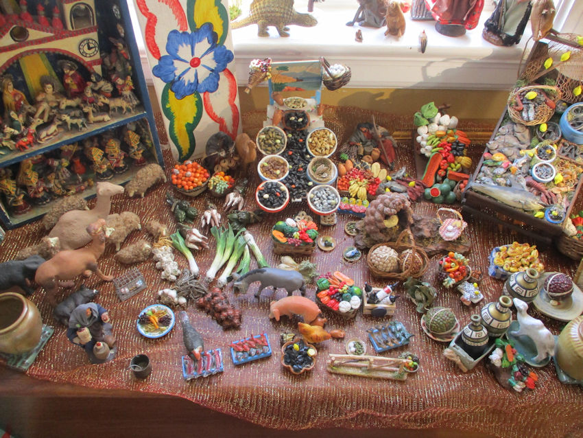
One of those two complicated display sets was bought at the Xmas market in Syracuse, Sicily, in 2012, where the artisans told us that sales were down and this was becoming a dying art.
A little more detail

Mostly seafood (including eels, agh); that's the one from Syracuse.

This one, however, was found at the Christmas market in Viterbo.
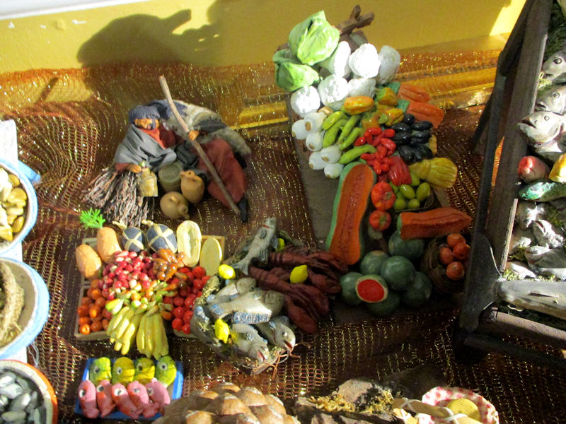
Fruit, and a sleeping shepherd with his jug
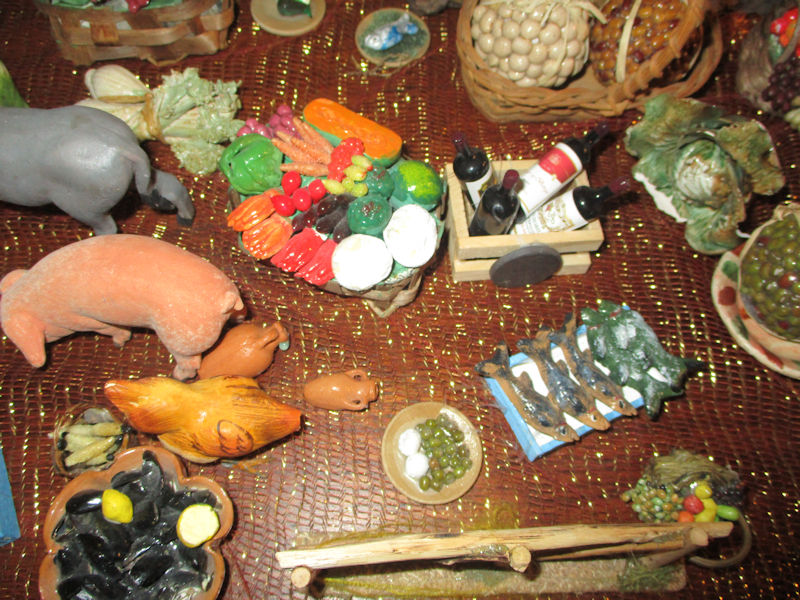
Veggies, a basket of wines, olives and mozarella, mussels -- none of it edible, of course
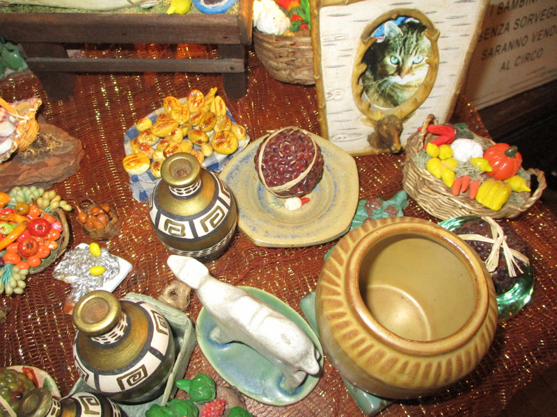
Pastries, beans, amphorae, veggies, and a photo of the Squirrel, Melvin's predecessor
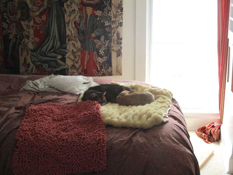
Sleep is where you find it.
What's next, then? A brief visit to Culpeper, VA
 Dwight Peck's personal website


