You may not find this terribly rewarding unless you're included here, so this is a good time for casual and random browsers to turn back before they get too caught up in the sweep and majesty of the proceedings and can't let go.
Fall visits -- 2b: Hazel, Emily, and Clinton in Wytheville, Virginia
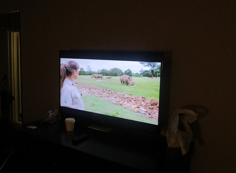
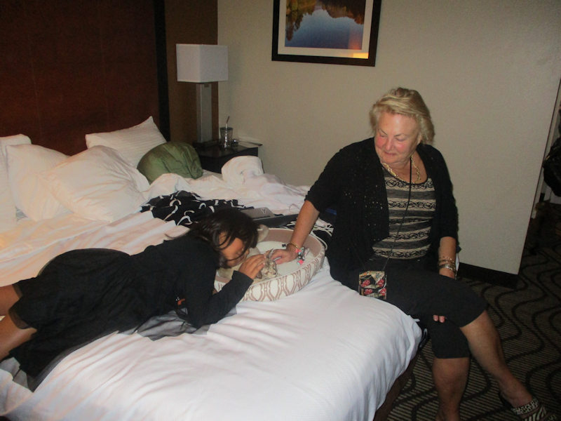
In the La Quinta in Wytheville, VA, 26 October 2019, there's an animal programme on the télé.
Choupette just loves an animal programme (but prefers birds to rhinos), and Hazel just loves Choupette. (Hazel now has two mini-Choupettes of her own, namely Pugsley and Wednesday.)
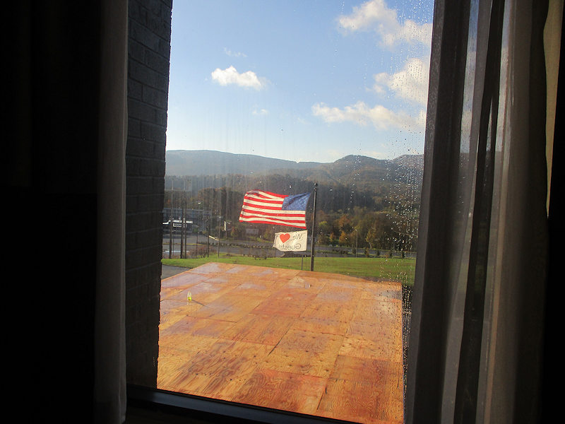
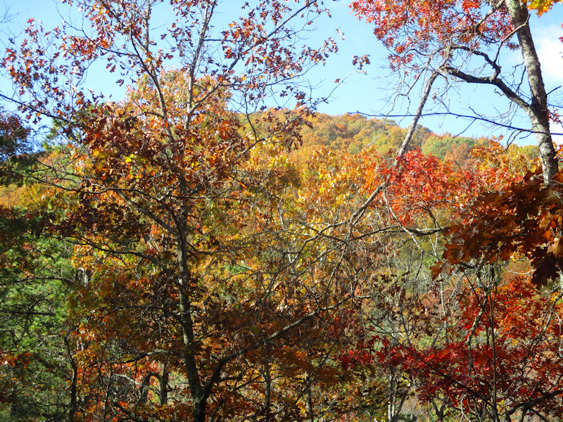
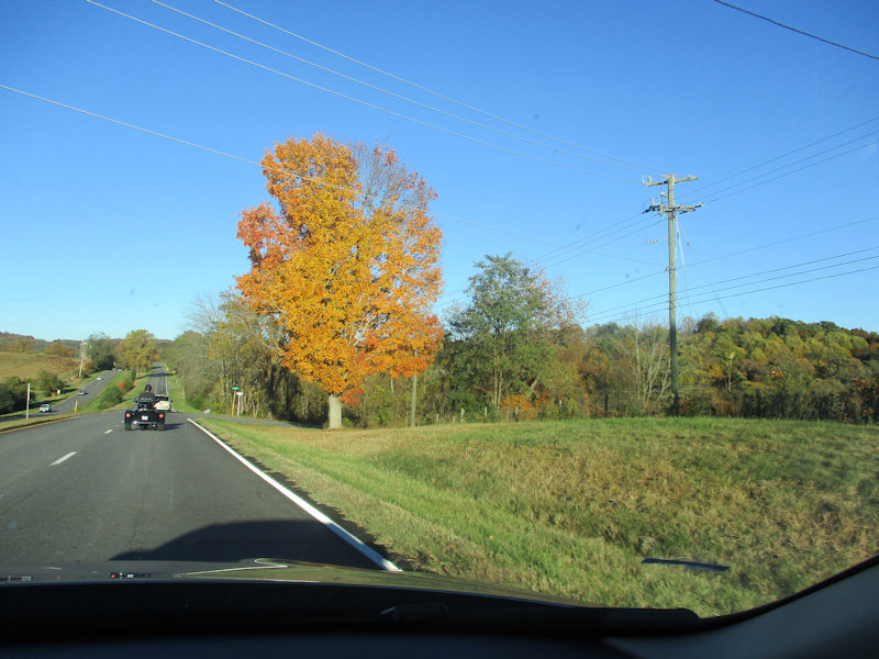
It's dawned a fine day -- we're off for a hike.
A pre-Hallowe'en warm-up
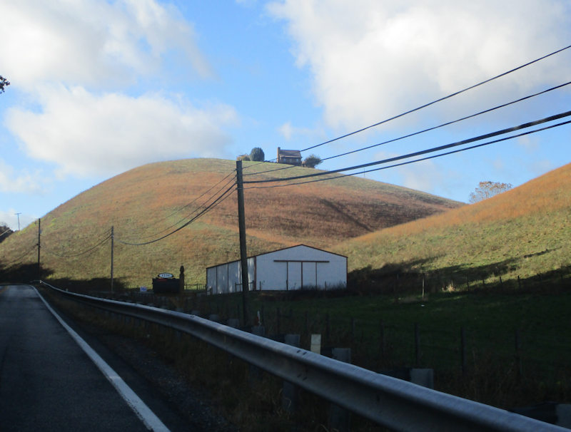
Clinton's already been out for a run, and found the Crystal Springs Recreation Area, just west of Wytheville -- to which we're now bound.
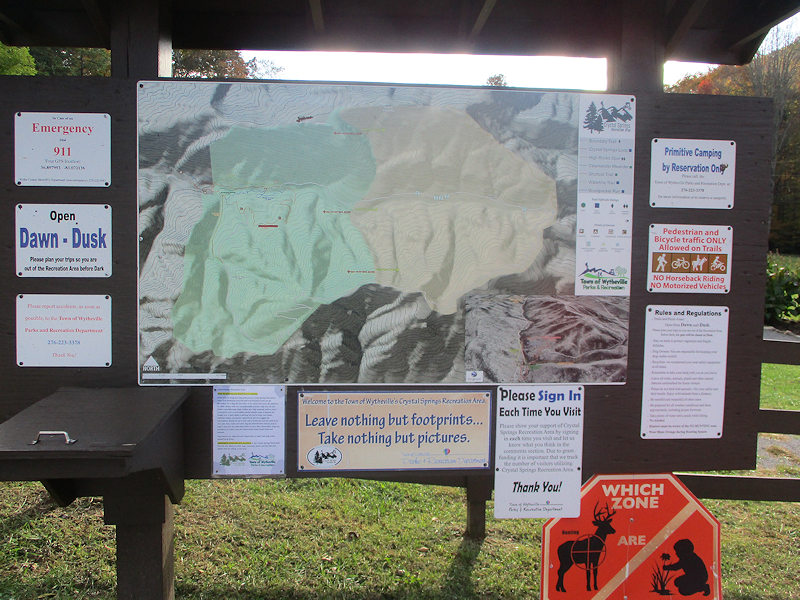
Here's a trail map -- we'll need to memorize it lest we get horrifically lost or, worse, . . .
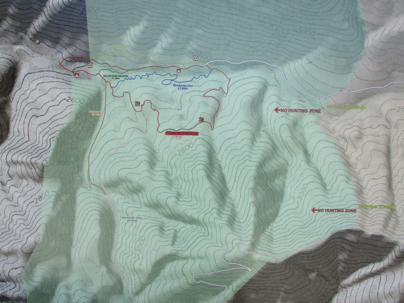
. . . or worse, wander into the Hunting Zone.
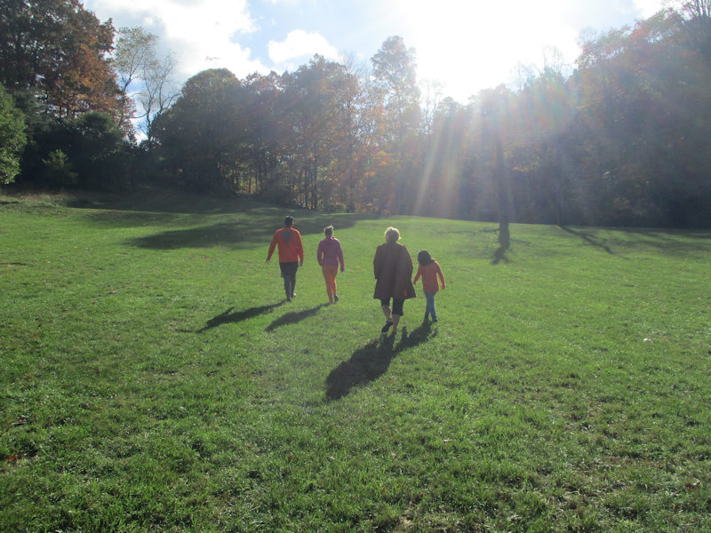
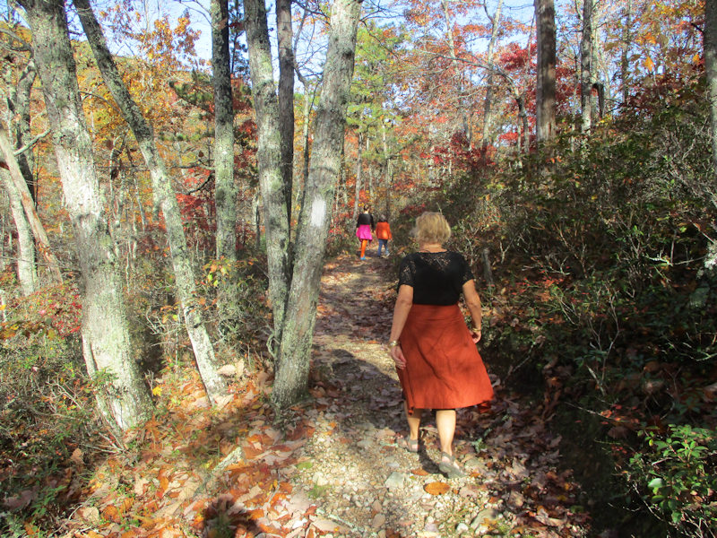
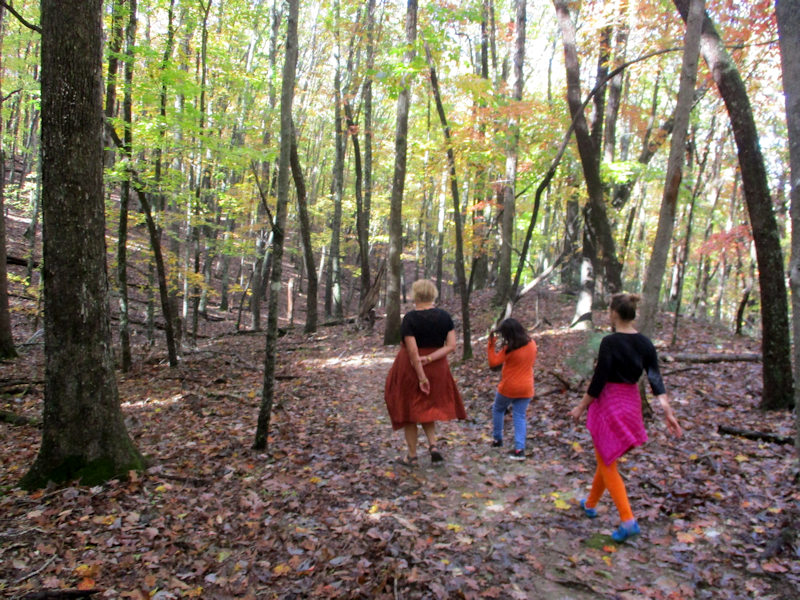
Off we go.
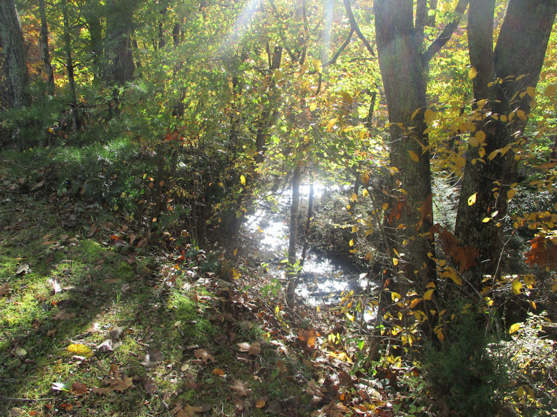
We're marching along by the mighty Venrick Run.
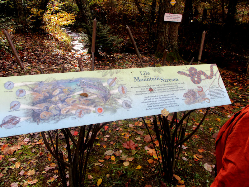
With useful information posted along the way
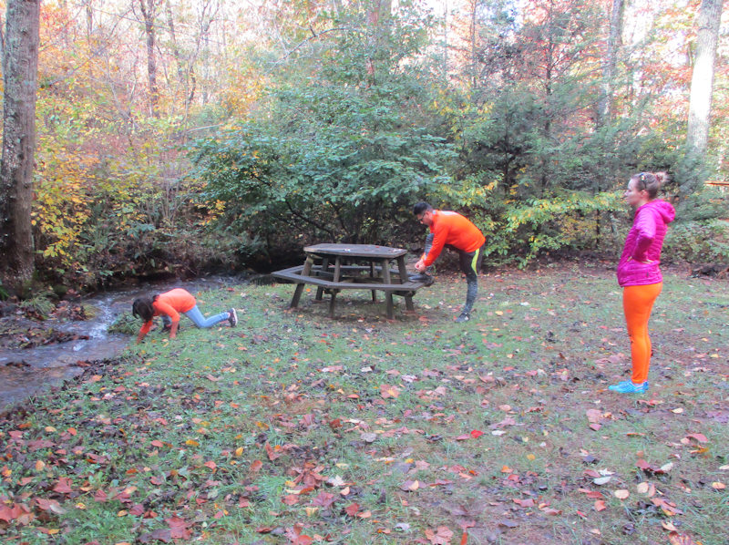
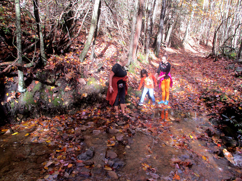
A good stopping place to get organized: Clinton's going off for a run, we're all off for a brisk walk as soon as Hazel's finished trying to catch small fish.
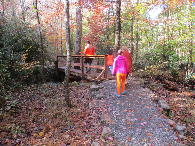
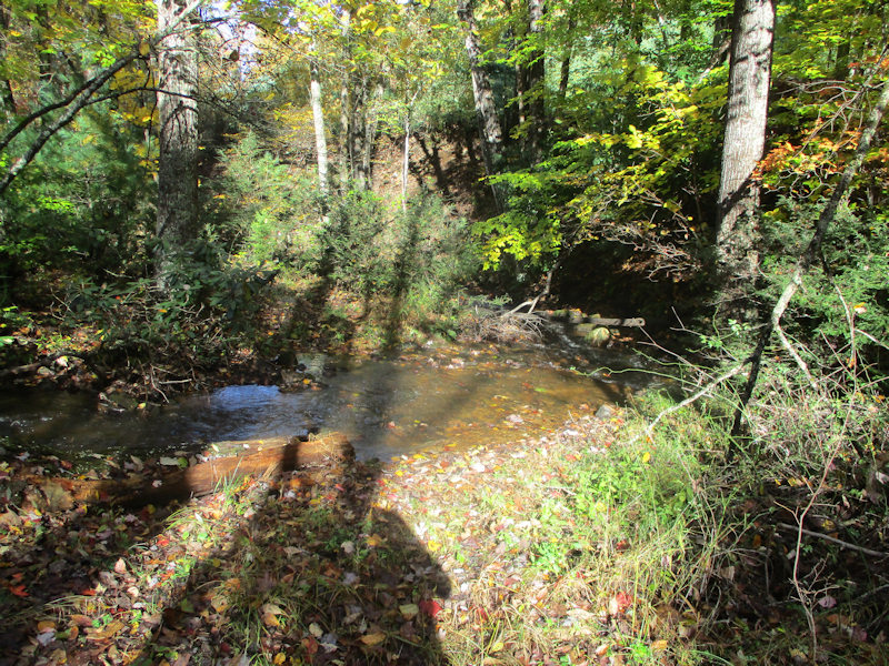
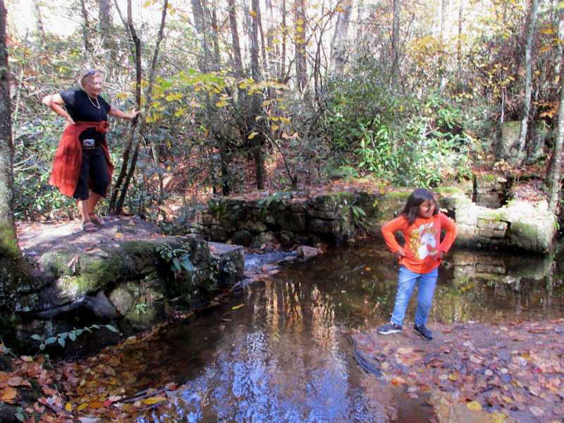
Crossing the Venrick Run
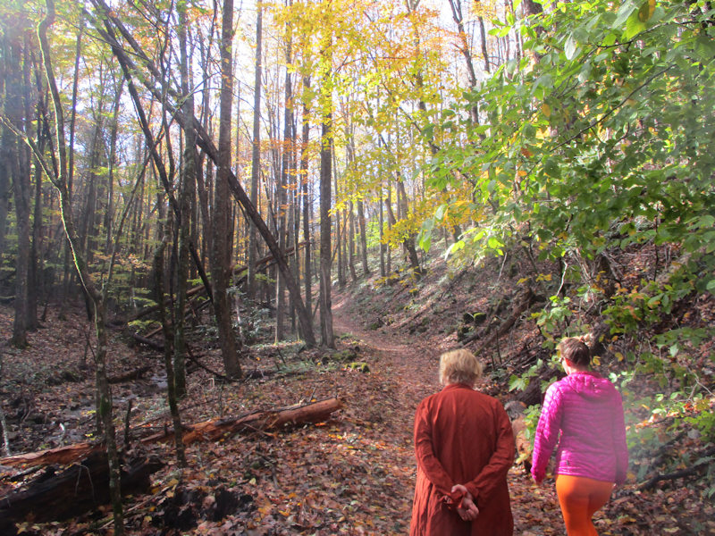
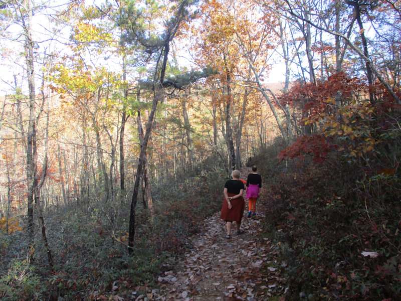
We're winding gently up the 'Shortcut Trail', which, in the absence of a trail map, we infer must be a shortcut.
It is, however, wildly the wrong trail and heading off in precisely the wrong direction (as we found out later).
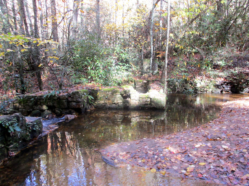
The water hazard
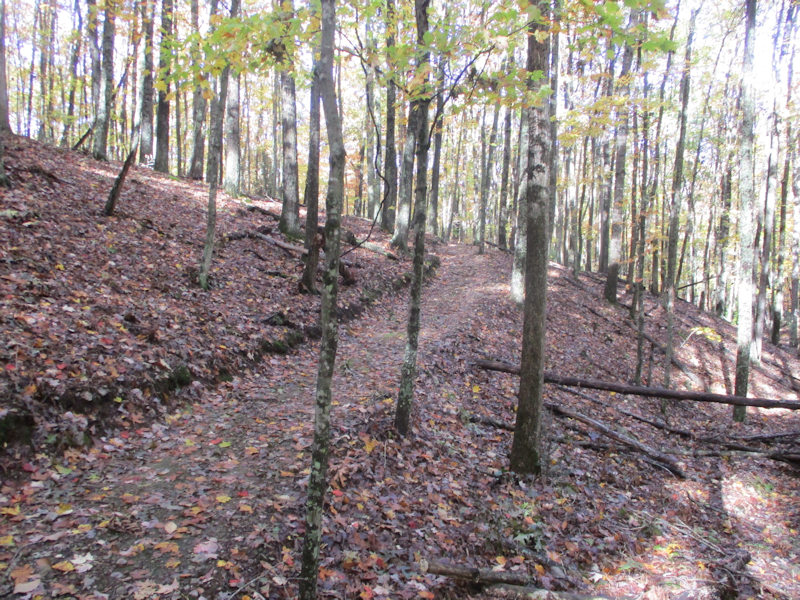
This all looks . . . unexpected. We now suspect that we've gone off the wrong way. We've just hit the Boundary Trail, a much more ambitious project than we'd bargained for, so . . .
. . . we're following the Boundary Trail in what appears to be a return direction, more or less.
The long miles disappear beneath our sneakers, and we're looking forward to starting downhill again soon.
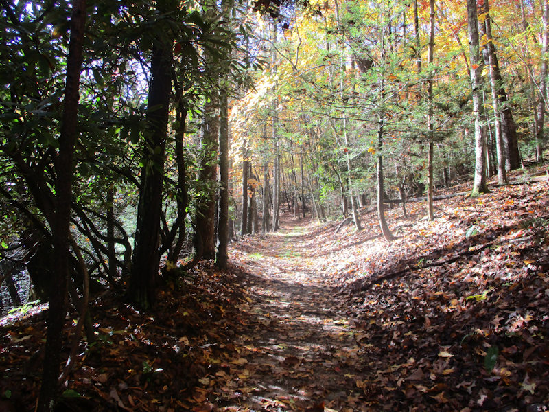
The Crystal Springs Boundary Trail, which would be wonderful for running on.
After another intersection of trails, we're finally going downhill again. We're back onto the Crystal Springs Loop Trail, and we soon meet Clinton, dashing uphill to find us.
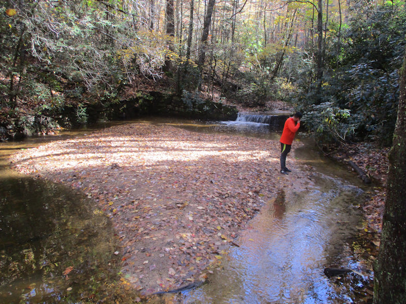
A bit farther out the creekside trail, Clinton has led us to a disused 19th century reservoir intended to store fresh water for the town of Wytheville.

It eventually became inadequate and is now out of use.
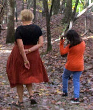
-- Come out on the island.
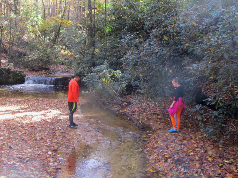
-- Jump.
The old sluice gate
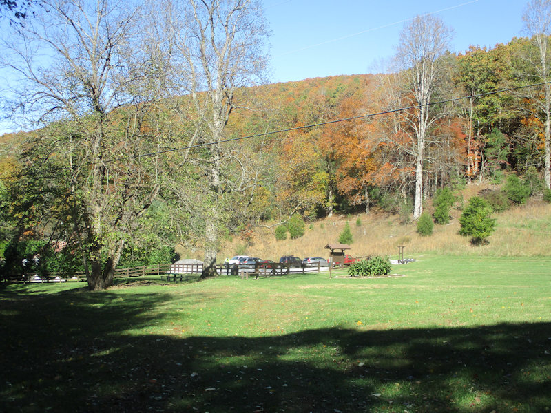
Back to the carpark
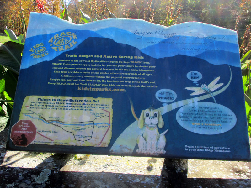
'Kids in Parks'
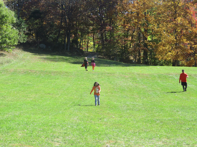
Our party is arriving in good order.
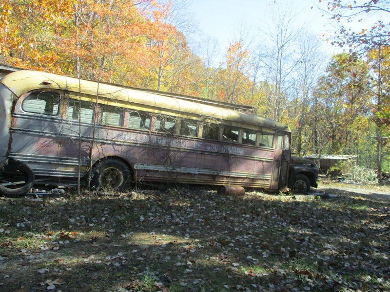
A southern Virginia lawn ornament

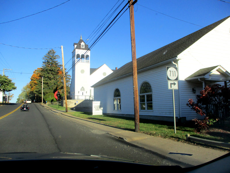
Back through Wytheville, and we part ways -- Pugsley, Wednesday, Hazel, Emily, and Clinton are headed west, a long day's drive, and we're heading northeast on . . .

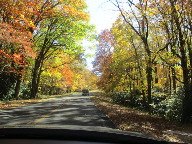
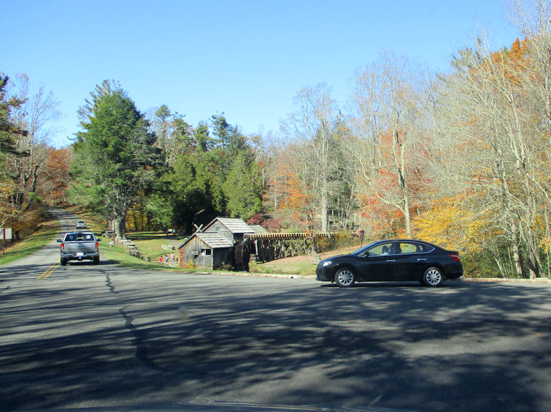
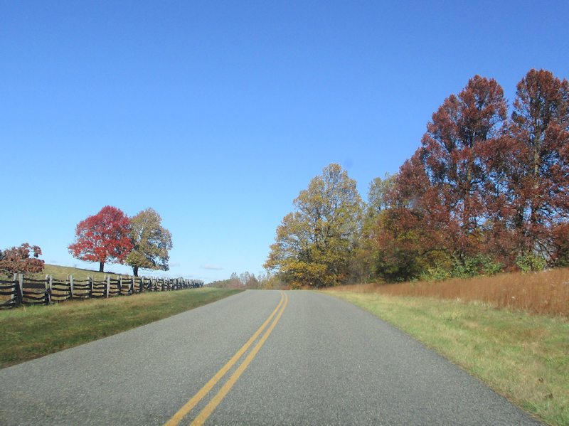
. . . the famous Blue Ridge Parkway ('America's Favorite Drive').
The Parkway runs for more than 750km (470mi) through North Carolina and Virginia, where, near Staunton, it hands off to the Skyline Drive (which, unlike the Blue Ridge, has a small fee). It's apparently been the most visited part of the National Park System nearly every year since 1946.
The Parkway was built by the US government (back when it did such things), begun in 1936 under FDR's brilliant Works Progress Administration and Civilian Conservation Corps (with the Civilian Public Service programme for conscientious objectives during World War II). It was completed in 1966 (except for one small stretch).
It's not entirely cut off from the surrounding agricultural activities, though there were some acrimonious disputes during the building of it because of restrictions on local farmers' interests and transportation routines.
From time to time, side roads come up from the local highways down below, but there are no links to the interstate highway system (until Rockfish Gap, Hwy 64, near Staunton), and the Parkway is not cleared of snow and ice in winter.
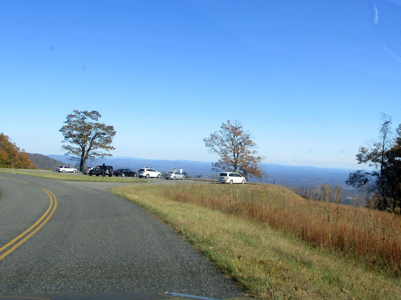
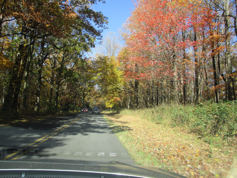
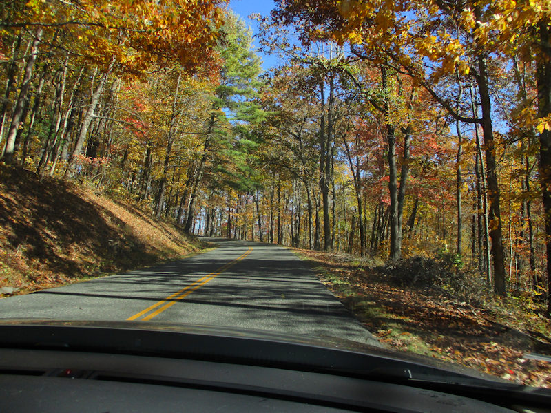
Scenic outlooks all along the route
It all looks vanishingly familiar -- Déja Vu! Research later ensues: I've been here before! In about 1952, with the whole gang, in a Hudson Hornet. I thought it looked familiar; I remember this very turn.
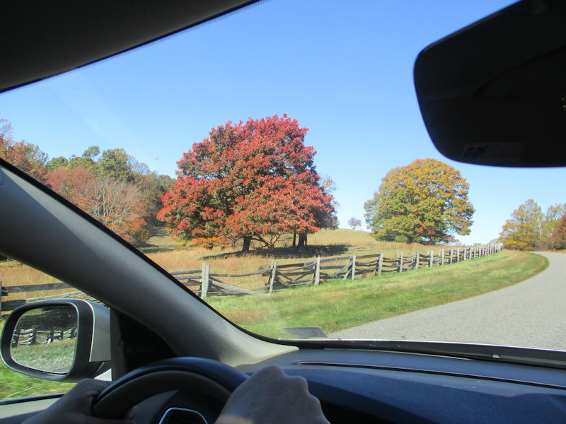
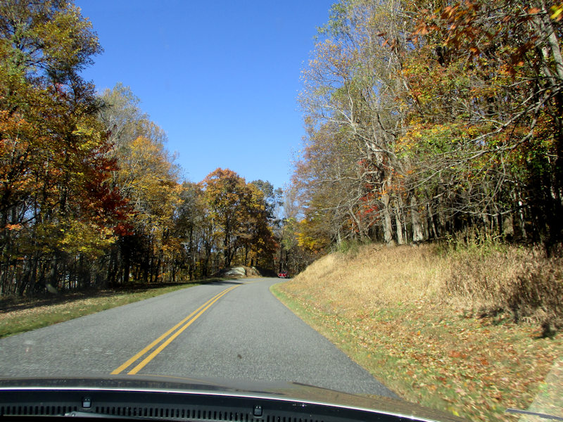
There is still some interesting fall foliage along the way, but it's nearly November now.
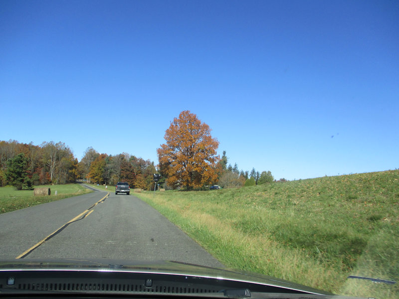
Parkway views. But the speed limit is understandably somewhat reduced, and we don't need to stay up here all day.
But, in that case, where are we?
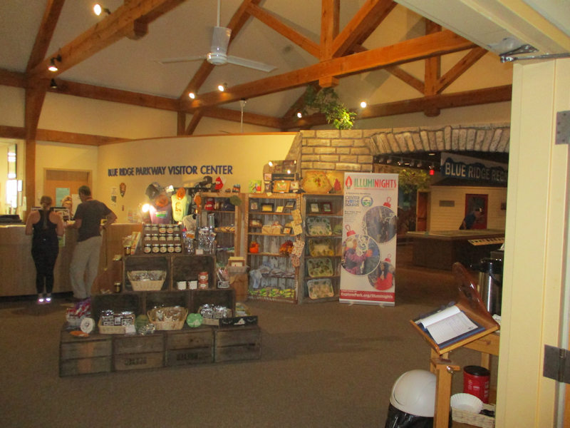
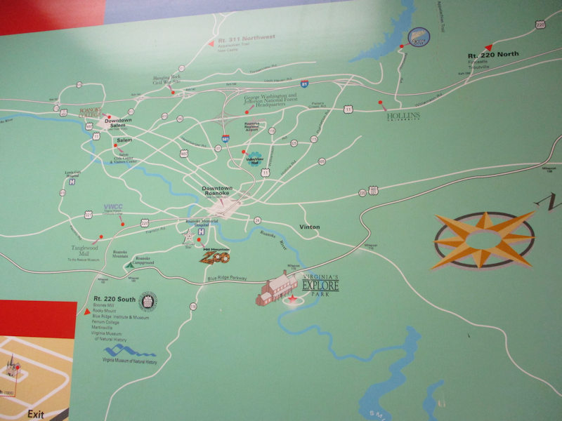
Well asked -- we're here, at the Visitor Centre near Roanoke, VA.
Very reluctantly, we'll take the next connector road down to join Hwy 81 if we must. Hwy 81 down the Shenandoah is a fast-moving death trap.
Luckily, we were pleased to get onto old Hwy 11, which runs up the Shenandoah Valley parallel to the literally murderous Interstate 81. Five semi-articulated trucks, tractor-trailers, to every two cars, it seems.
Highway 11 has a slightly lower speed limit but is super-scenic and (as far as we've learnt so far) never crowded. We're passing through Fairfield ('The Stairway to Heaven starts here') . . .

. . . now, Greenville, home of the Gladiators, just 18km south of home.
Next stop: Dan and Katy's visit

 Dwight Peck's personal website