You may not find this terribly rewarding unless you're included here, so this is a good time for casual and random browsers to turn back before they get too caught up in the sweep and majesty of the proceedings and can't let go.
A walk up to Grand Cunay, 10 June 2018
The Grand Cunay is a pastoral protuberance along the ridgeline that leads to Mont Tendre in the southwestern Swiss Jura mountains, topping out at about 1600m. Today we're revisiting old times, having driven up the Route des Montagnes from the Marchairuz road above La Bière in the canton of Vaud, overlooking Lake Geneva.

Sobered by the fact that we've moved back up the Rhône vally to the Préalps and can't get back to the Jura to keep Dr Joe company as often as we like, and may have to be vacating the continent entirely at some point anyway, we're bent upon wielding our little point-and-shoot at as many of our favorite walkers' destinations as possible while there's still time.

Dr Joe is our guide today, leading us from our cute little Volvo, Sven, at 1422m up a dirt road and then, at about 1480m, onto a tiny unmarked track known only to the cognoscenti.

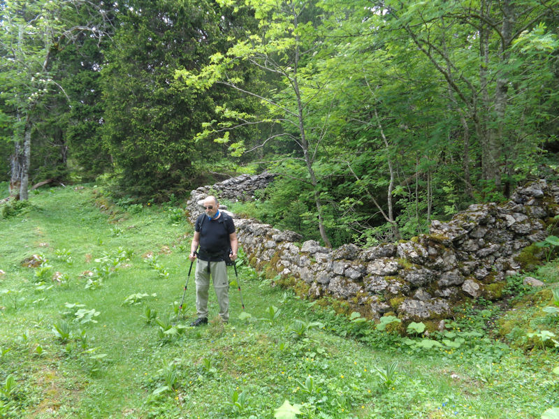
Our nearly imperceptible track leads us along an ancient stone wall into a Creux d'Enfer.


Through an old opening in the junction of old stone walls, with an awkward three strands of new barbed wire across it.

We come upon a blue square on the rocks, which seems to mean that 'here is a blue square on the rocks'. In any case, from here on we are traversing the Creux d'Enfer in a northeastward direction for a while.

The various Creuses d'Enfer in the region are hollows in the limestone forest where over the centuries the water has wreaked havoc on the topography, with fissures, holes and chasms, caves, and ankle-breakers strewn amongst the underbrush. 'Creux d'Enfer' can translate, appropriately, as 'Hell Hollow'.


Through the Creux d'Enfer near Cunay -- there are other Creuses farther along, of Petit Cunay, of Druchaux, and more, all fascinating and very slow going.

Our guide reorienting himself briefly

There is rudimentary path through this Creux d'Enfer -- as much fun as it can be to pick one's way gingerly through the depths of the forest, today we have a destination and will cleave to the track if possible.

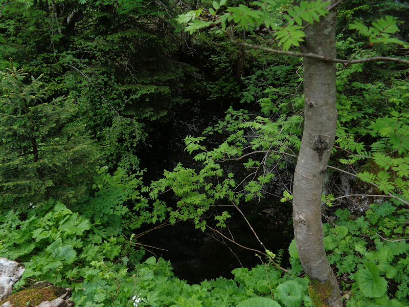
Our sometimes faulty memory brings us to the first attraction on our itinerary, a big gouffre!

We used to speculate that you could drop a Volkswagen into that and it wouldn't hit the sides on the way down.

No sign of a bottom to it

More views of this gouffre are here.

We proceed towards attraction number two.

Up this peaceful, beautiful longitudinal little combe, going northeastward below the long ridge of Grand Cunay

Number two, with a bit of summer snow in it. Some of the biggest holes in our region are called Glacières because they have permanent snow in them.

We've been passing this thing for nearly thirty years and never thought to look down into it. Dr Joe is going to remedy that right now.

As intrepid as ever when exploring holes in the forest floor, Dr Joe takes matters in hand whilst the rest of our party records his progress with a little camera.

Be careful, Dr Joe. You could be standing on a snow plug.

-- Hello! Is anybody in there?

Nobody's in there.

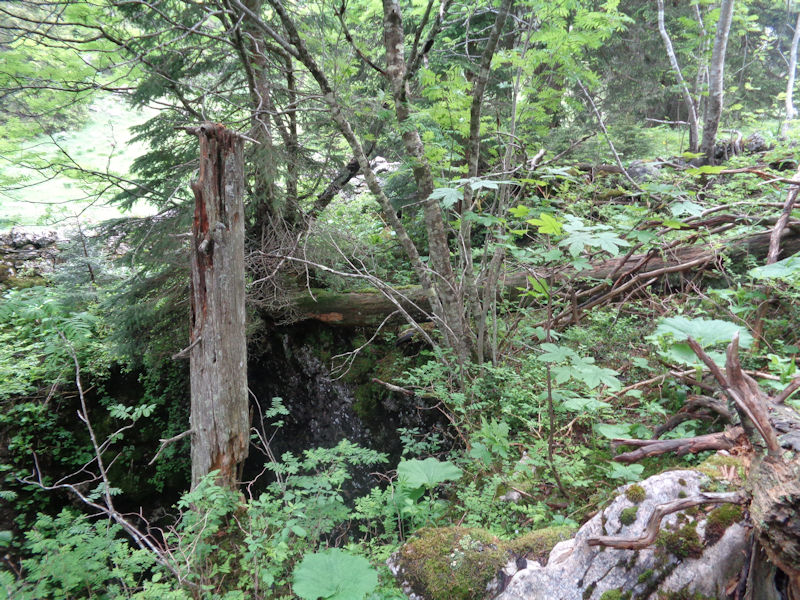
Our next stop, a nicely protected little entrance to the Underworld.

The barbed wire is a nice touch, but sometimes we come across holes with old dead sticks thrown across them by well-meaning people, like this, but with no wire fence. They can be helpfully visible in summer, but in winter they help to create a snowbridge that will immediately collapse under any 250-pound snowshoer.

We've passed the length of Grand Cunay up on our left and are entering the area of Les Combes, leading to the Swiss Alpine Club Cabane du Cunay.


Now we've turned back southwestward through Les Combes, and if, uncharacteristically, memory serves, our next attraction should be just up this slope.

And there it is -- now surrounded by huge trees which have not always been there.

Taking an important call


A forlorn warning sign, amongst a huge mass of foliage.
Here is a vintage photo of Dr Joe nearly falling into this very hole in February of 2002, with much less foliage.

And so to the top of Grand Cunay, at 1603m -- looking from the slightly higher point of it southwestward to the other point of it, with the farm on top, and the Col du Marchairuz 3km farther on.

The farm of Grand Cunay

The hill of Pierre à Coutiau with its Geneva airport radar installations and, off to the right, the Alpine Club Cabane du Cunay, with Mont Tendre behind.

Down the gentle eastern side of Grand Cunay . . .

. . . back into the forest

Looking for a landmark


The path


Back through the Creux d'Enfer

Barbed wire

The path out

The wild boars, or sangliers, have been having a party

Back to the car

Our cute little Volvo awaits.
