You may not find this terribly rewarding unless you're included here, so this is a good time for casual and random browsers to turn back before they get too caught up in the sweep and majesty of the proceedings and can't let go.
La Dôle, the path less traveled by

La Dôle is a rocky ridgeline overlooking Lake Geneva, with Geneva's Cointrin Airport navigation installations at the top. This is a popular walkway to the summit starting from the restaurant montagnard called Couvaloup de Crans (1289m altitude), accessible by a little road from near the Col de la Givrine above St-Cergue.
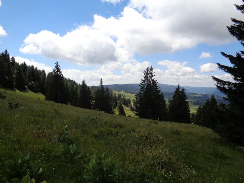
The popular walkway can host quite a few hiking groups on a fine day, but we tend to prefer less popular alternatives. In any case, our objective today, 25 June 2017, is not really the summit but just to revisit a fine unmarked path -- a memory test -- that runs or used to run through the forest of Les Léseneys southward 300m below the summit ridge.
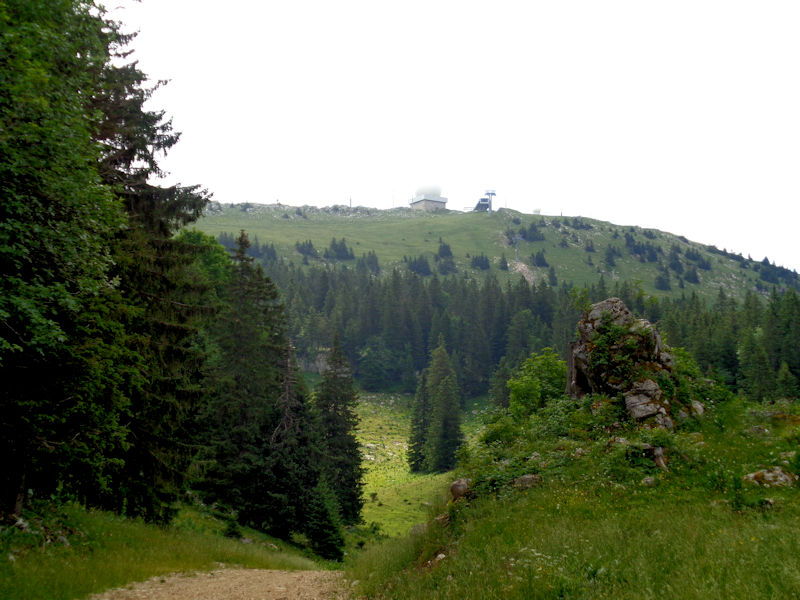
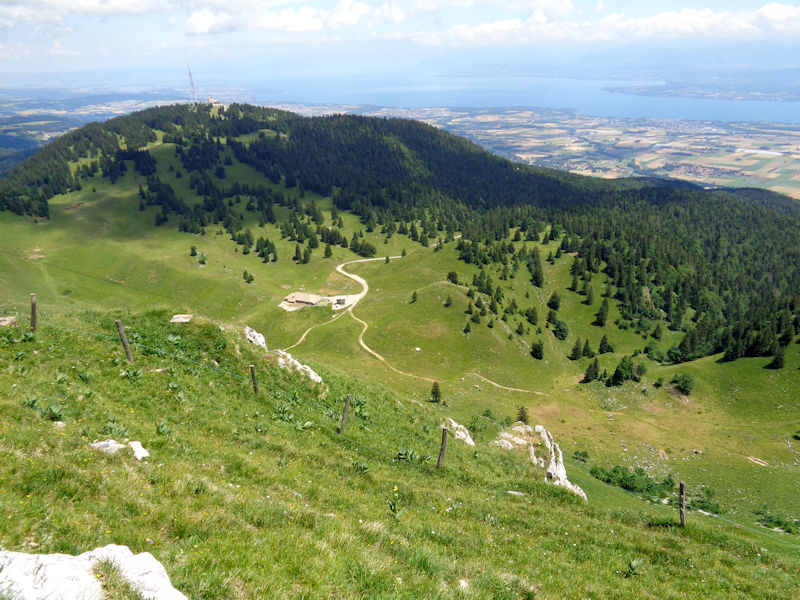
A skilift station near the summit -- the airport installations are invisible just over the ridge. We're planning to hang a right soon, into the forest.
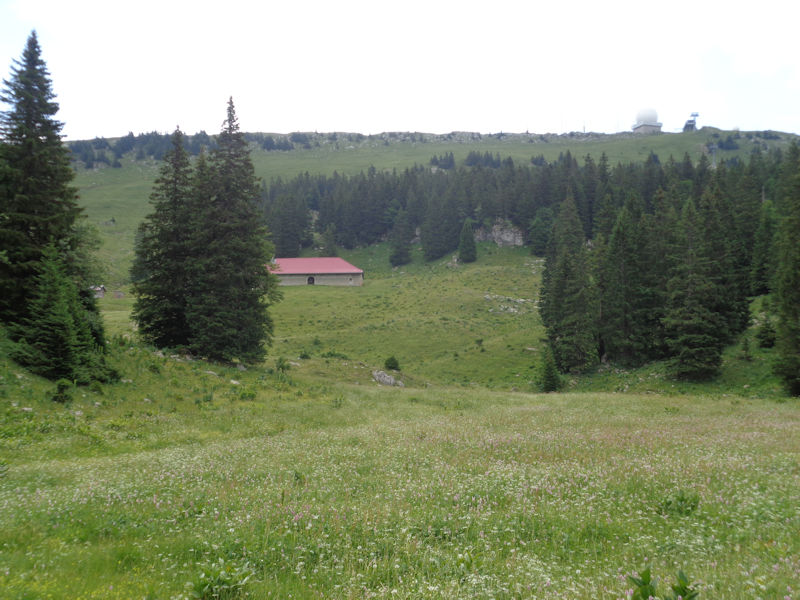
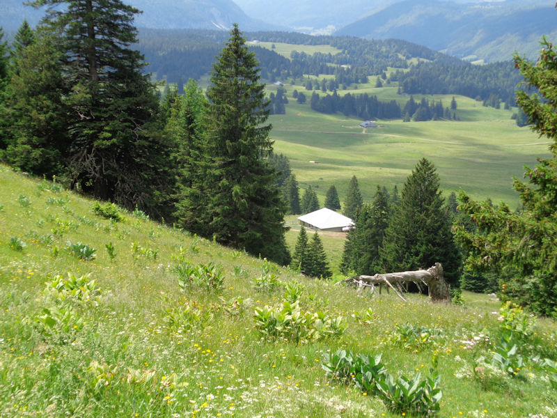
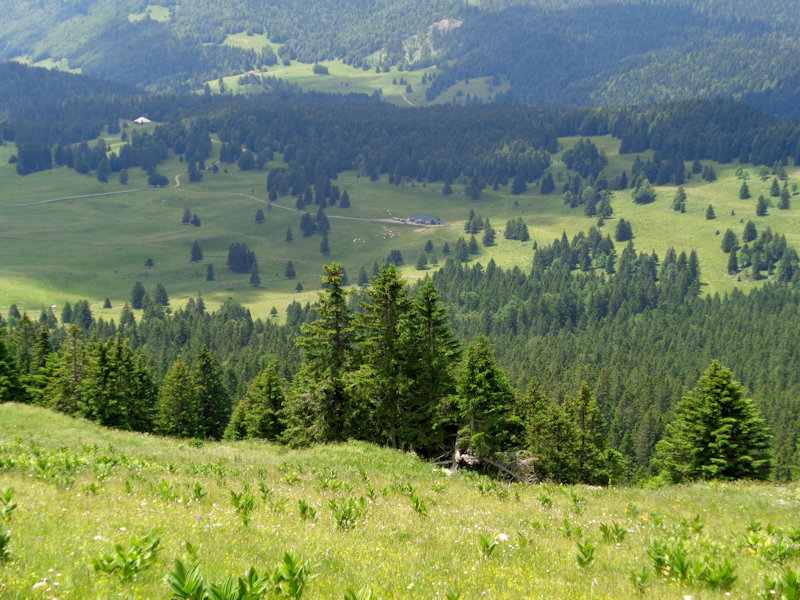
A farm building called Reculet Dessus (1475m), which we will not be visiting
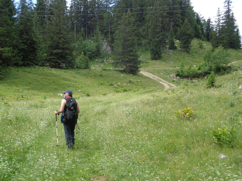
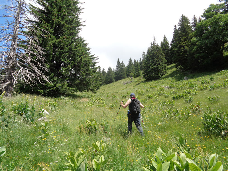
When Dr Joe has finished contemplating the summit, we will proceed along this little track, pass under the skilift cables, and try to find our entry into the forest.
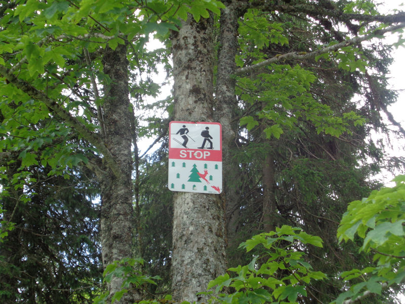
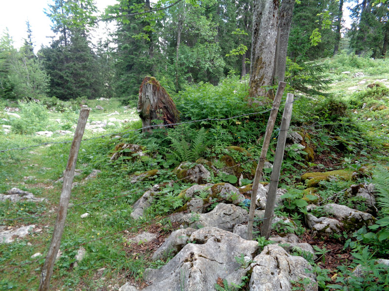
Here it is, with a solemn warning to winter skiers and snowshoers to stay out! lest they disturb the wildlife during a vulnerable time of the year. Fair enough . . . in winter.
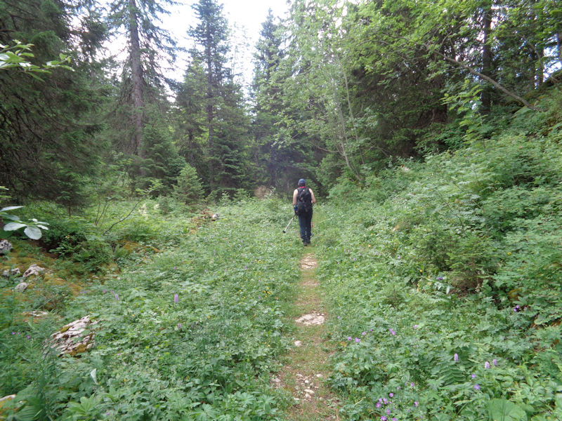
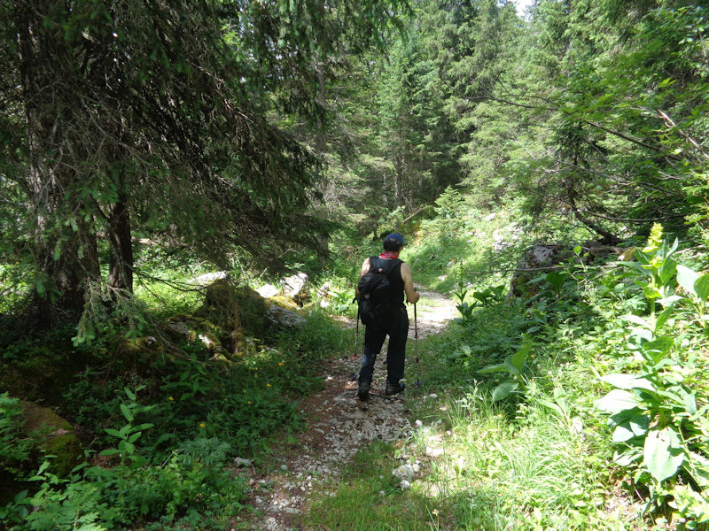
So we're off (and haven't harmed the blocked gate) into the forest of Les Léseneys.
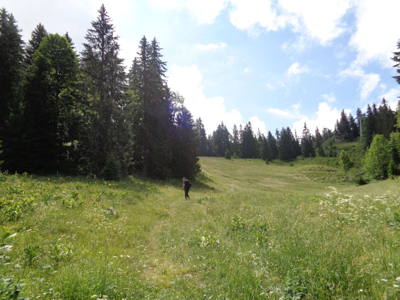
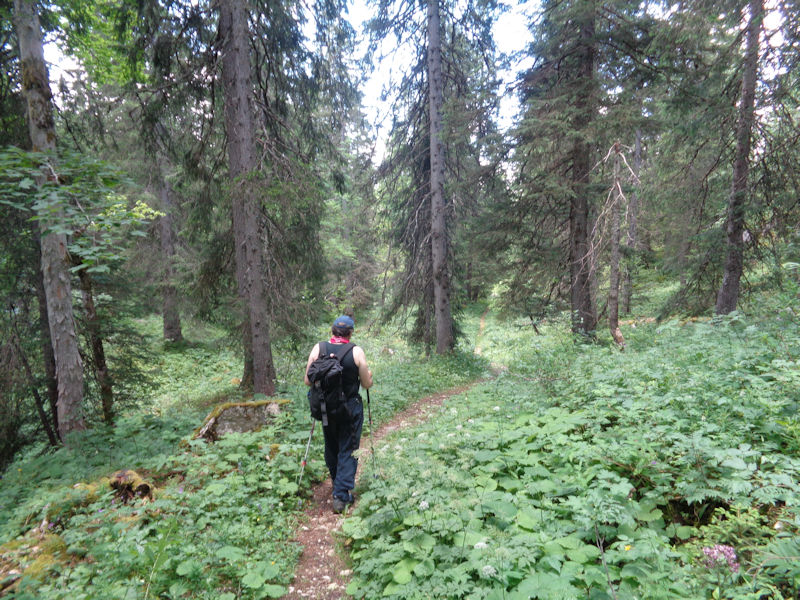
The path is blessedly just as we remember it.
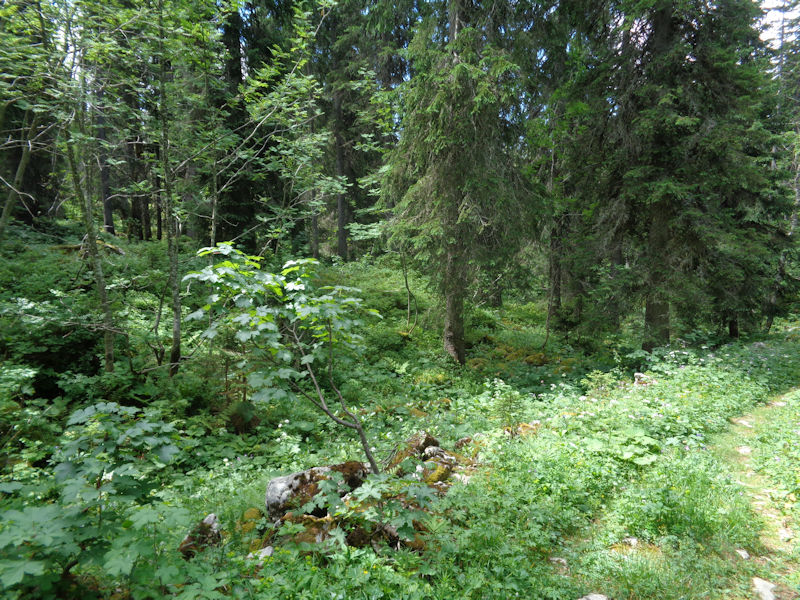
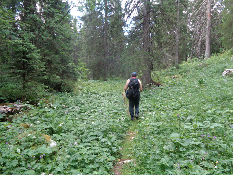
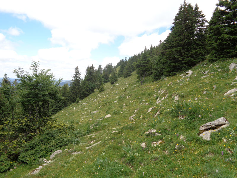
The countryside around both sides of the path is complicated and sometimes very awkward, frequently with limestone surprises hiding under the vegetation.
The trees are not looking in the best of health these days.
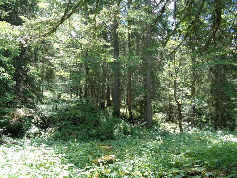
We once, years ago, bushwhacked through the centre of the forest, with no path, and it took hours to make it a kilometre across.
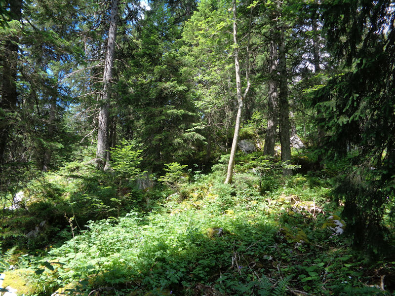
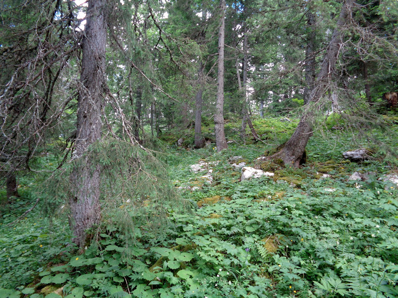
Limestone outcrops and little washed-out dolines

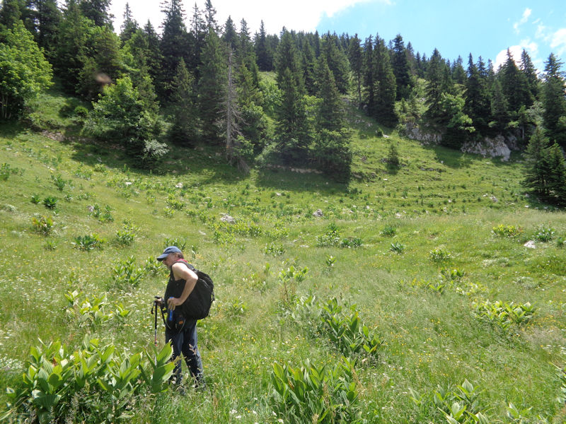
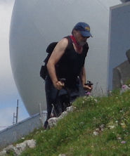
Dr Joe is probably enjoying this old path as much as the rest of our party is.

A Tolkien sort of forest
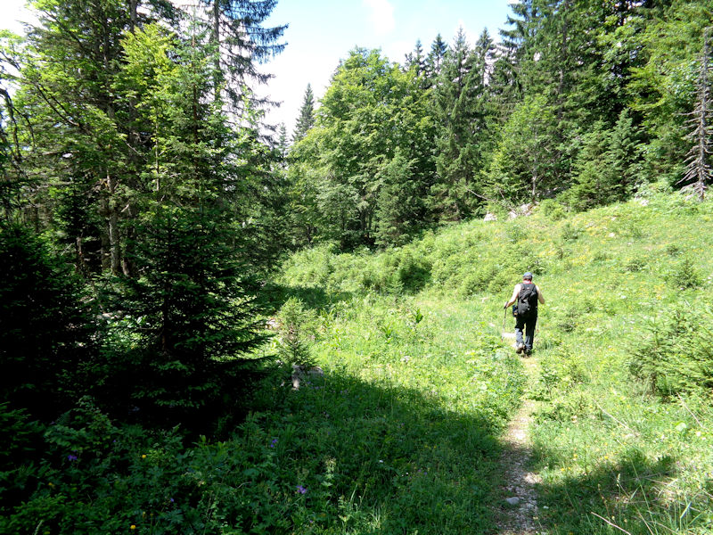
Can't be much farther now (the whole path is only a kilometre long)
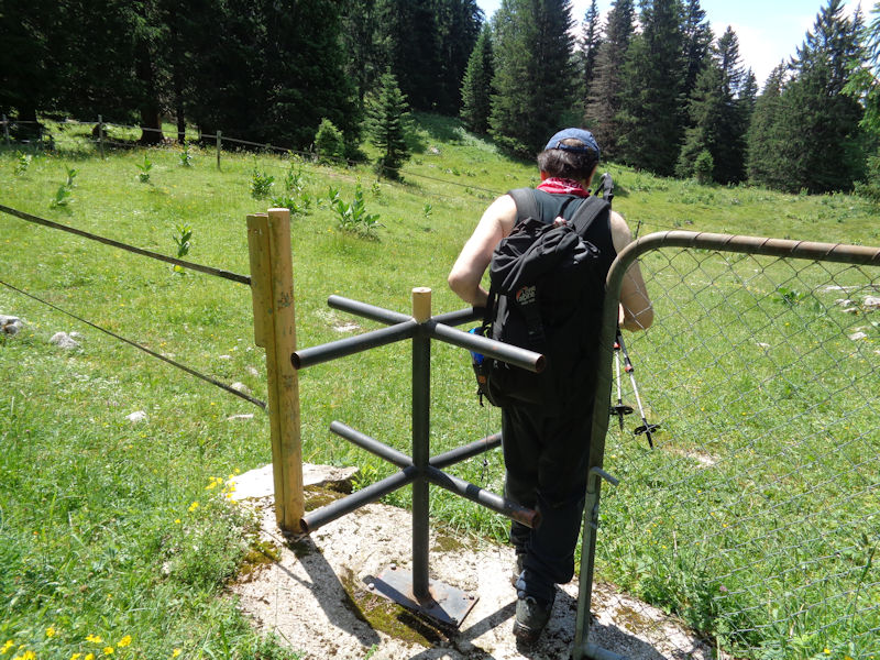
At the far end, a usable turnstile at 1360m which only leads up to the horse farm of Sonnailley au Prince. Dr Joe will have to keep turning till he's out of it again.
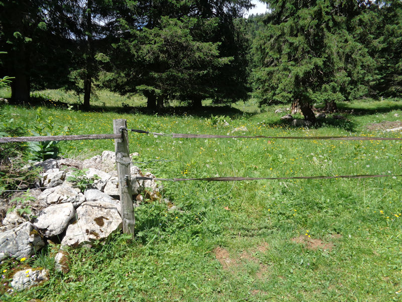
We need to go this way, up along the edge of the forest towards the farm of La Vuillette at 1436m. This gateway has two detachable electrical cables and one hardwired barbed wire between them. Farmer's revenge on hikers, apparently.
But that needn't detain us -- we've passed above the Vuillette farm and have begun contemplating sneaking up on the summit from this unorthodox angle.
La Vuillette farm below
A welcome pause on a hot day
Dr Joe is running on instincts alone, and determination
The operational plan of the moment is 'up'.

And then 'up' again
France
The farm of Sonnailley au Prince (in Switzerland) and the French frontier just beyond

Dr Joe breaks into a run.
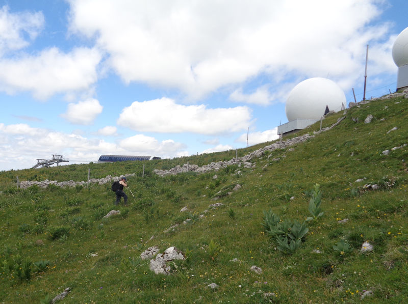
The top of the skilift on the left, the radar installations on the right, and the rest of our party dashing to the top
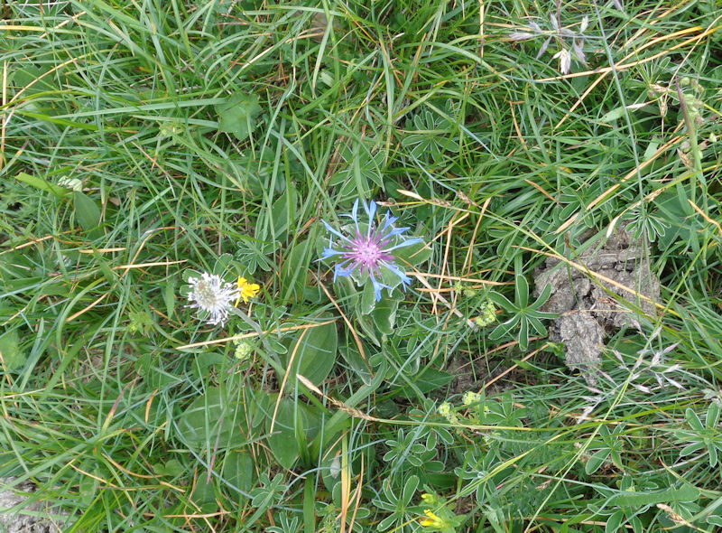
A flower
Always has to be first

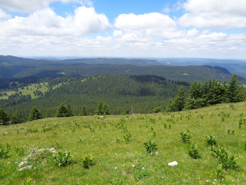
The ridge leading south off La Dôle into France, the Pays de Gex

The monarch of all he surveys
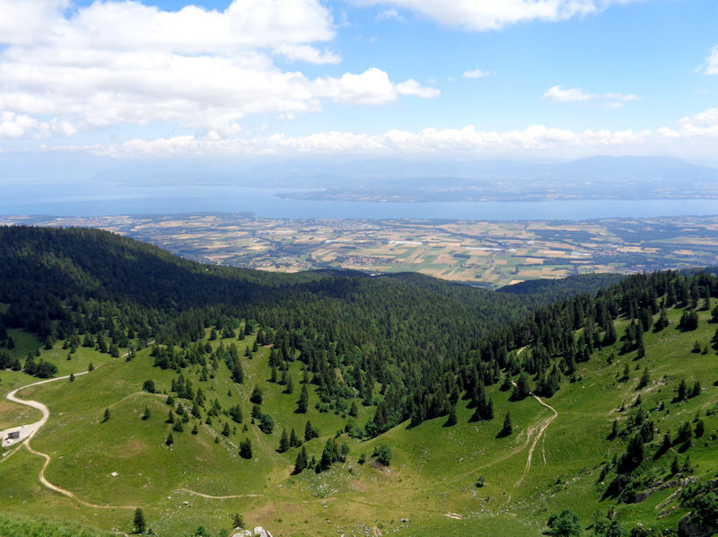
Lake Geneva (Lac Léman) in the offing, with Yvoire on the far side
The Chalet de la Dôle below, at 1439m; we're at the summit at 1677m.

The Chalet de la Dôle. The little building to the right of the main building is the base of a small service cablecar to the summit, not open to the public. The road to the farm comes up from the village of Gingins.
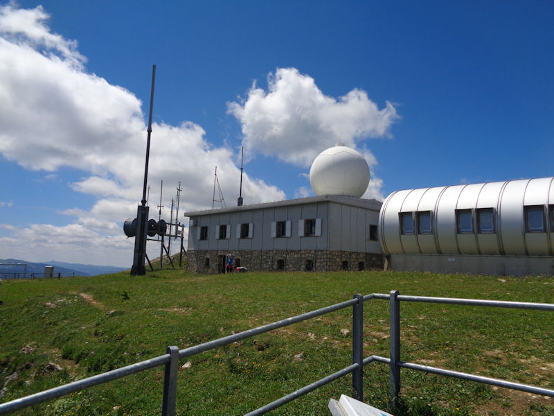
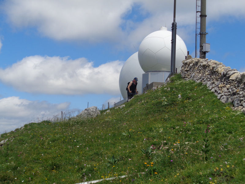
Swiss Skyguide radar installations
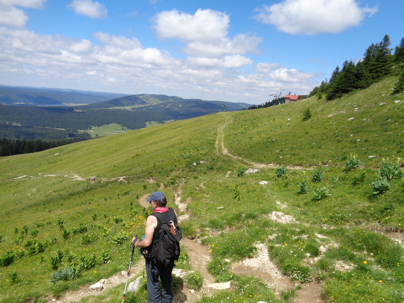
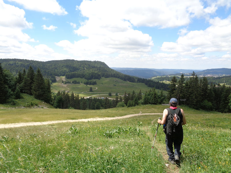
We descend by the normal path.
France over the way
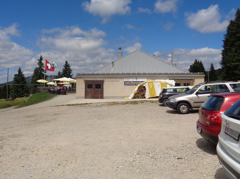
The Café Restaurant Couvaloup de Crans (which, apparently under new management, now calls itself the Cuvaloup de Crans), about 3km in from the Route de France (St-Cergue to La Cure).

 Dwight Peck's personal website