You may not find this terribly rewarding unless you're included here, so this is a good time for casual and random browsers to turn back before they get too caught up in the sweep and majesty of the proceedings and can't let go.
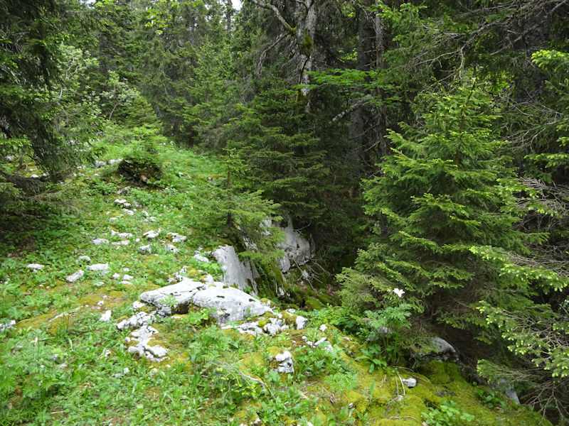
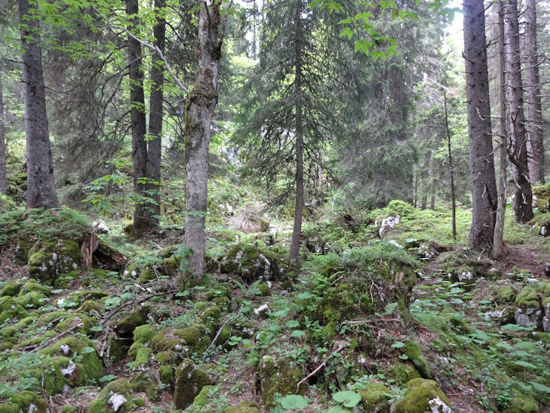
A Creux d'Enfer is a wildernessy jumble of rocks, holes and caves, and tangled trees, a depression hollowed out by water in the porous limestone forest floor. There are any number of them in the region around the Col du Marchairuz in the southwestern Swiss Jura, some of them identified as 'Creux d'Enfer' on the maps, a few of them actually identified by name.
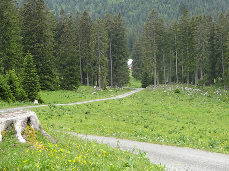
We're leaving the car at 1366m just beyond the farm of La Foirausaz (above) on the Route des Montagnes at the end of the dirt road through the Pré de St-Livres, 26 June 2016. Today we'll re-explore the Creux d'Enfer du Petit Cunay, a much-visited old favorite.

The farm of the Pré de St-Livres -- in the circular copse of trees behind the larger building is the huge gouffre or cave system the Glacière de St-Livres, called 'glacier' because the caves have permanent ice within. There are also several named 'glaciers' nearby. The high point on the ridge above, on the right, is Petit Cunay proper, and the farm and pastures of Petit Cunay are over on the far side of the ridge.
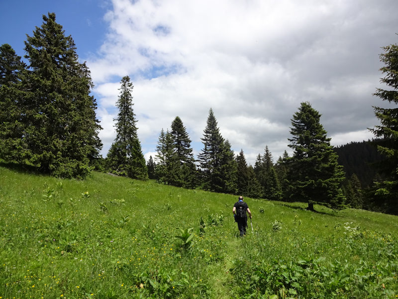
Our guide for today, Joe, leads us up the pastures above the Pré de St-Livres. It's fine weather for a change.

We've crossed over onto the pasture called Petit Pré at 1460m; that little road by the cows leads over to pastures and two farms in front of Mont Tendre, at about 1400m, and then down off the mountain to the villages of Berolle and Mollens.

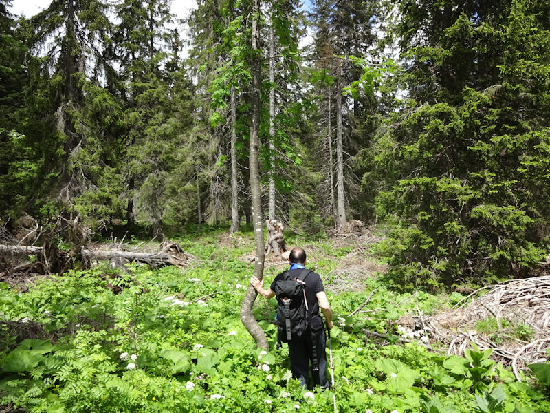
At this point we're leaping over the fence and darting down into the mayhem on the far side, a shortcut to the Creux d'Enfer.
This will likely be slow going.

Normally, over the years, we've been here in winter, and it all looks very different now. We're peering about for some of the most interesting holes in the forest floor that were fairly easy to visit without all this vegetation hiding everything.
Some shortcut this is.
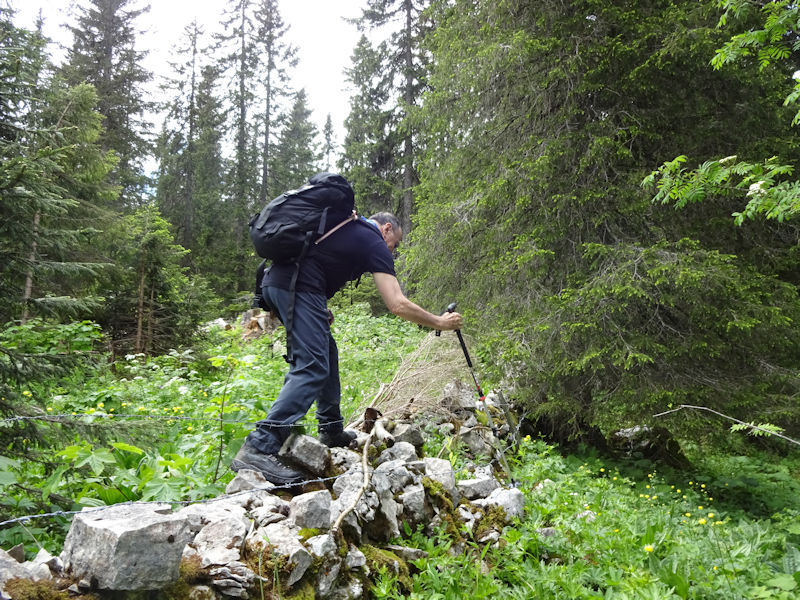
Agility and grace in motion
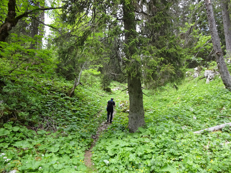
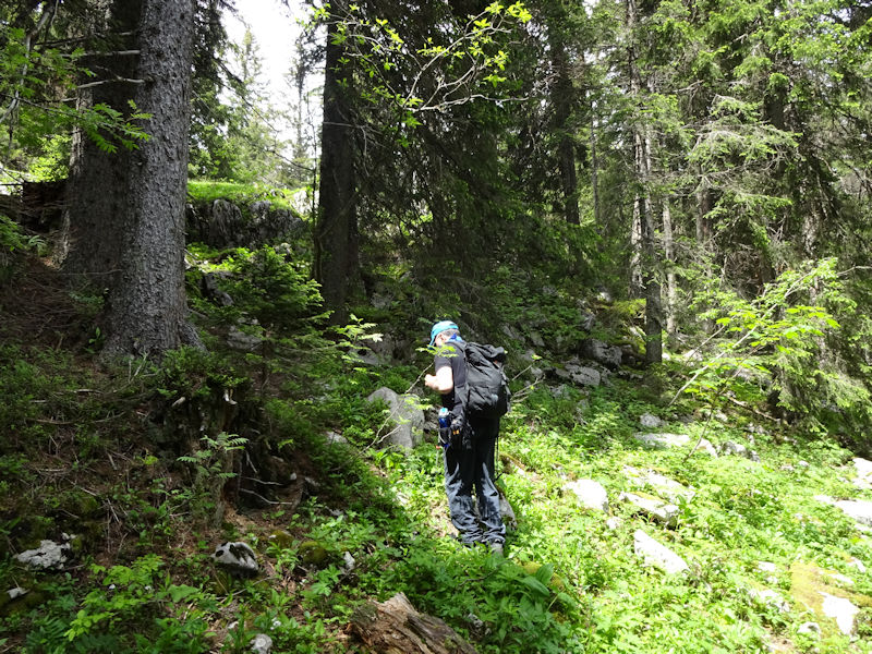
We're off on a marked path leading up into the Creux d'Enfer du Petit Cunay proper, but the path will shortly ascend up a grassy slope onto the pastures of Druchaux (on the far side of which lies the Creux d'Enfer de Druchaux), but we'll continue onward down in the Creux.

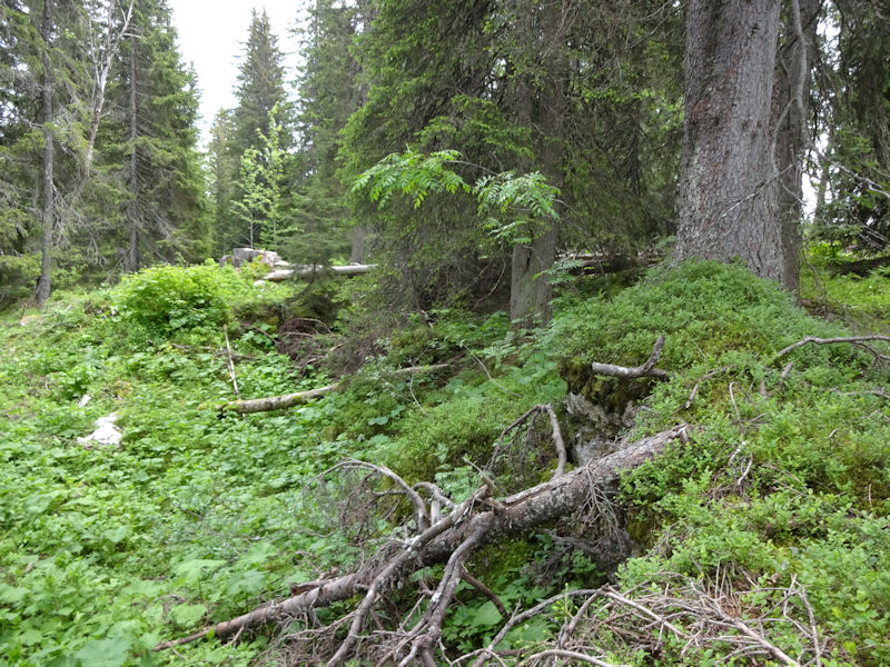
There is still a very comfortable path, albeit unmarked, that leads a good way up the Creux.


Our path is fading out, but we're picking up an old stone wall that runs in a straight line up the length of the Creux d'Enfer and far beyond it in both directions.

The end of the path

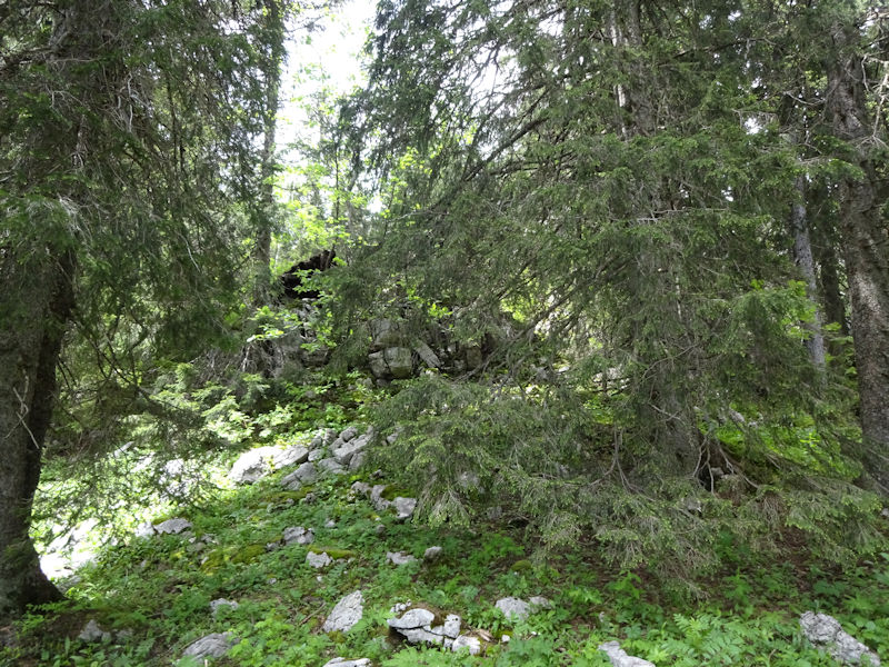
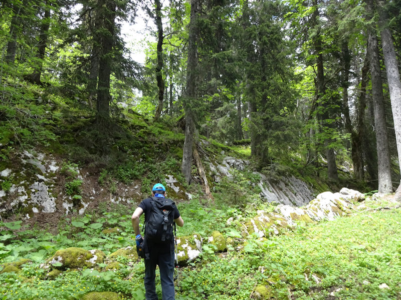
A little geological barricade, alongside the ancient stone wall over on the left.
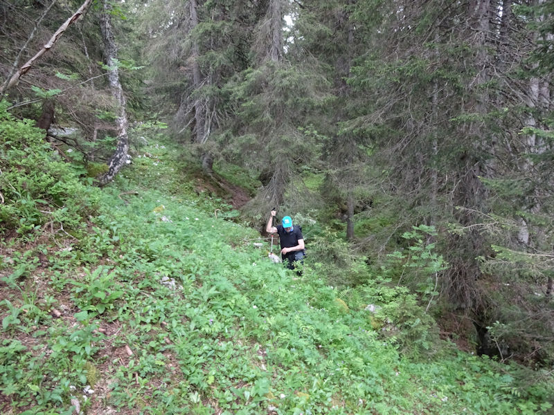
Up we go.
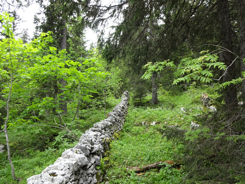
In the absence of a path, we'll follow the wall. It is a wall which, by the way, leads in more or less a straight line up over the Crêt de Mondisé to the east and straight down to the village of Berolle 4 or 5 km below, and straight up before us as far as the Alpine Club cabane du Cunay.
Scrambling
More barricades
A moment of reflection
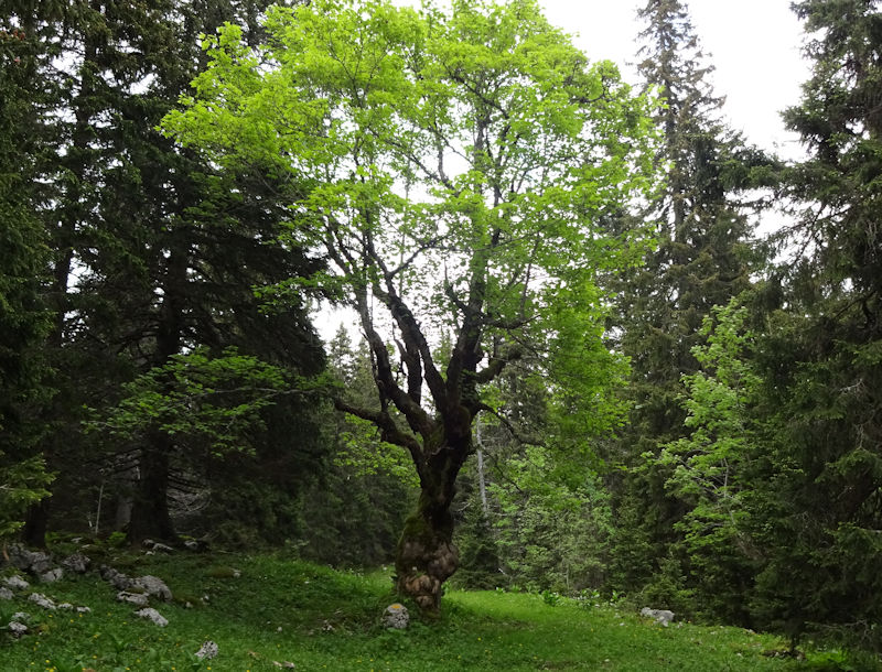
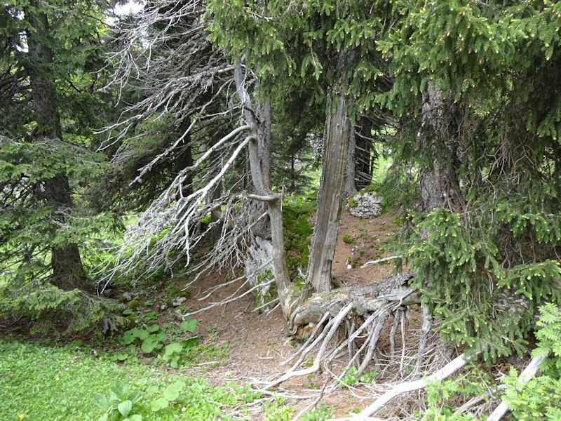
We're out of the Creux d'Enfer and up onto the marked hiking path heading towards Mont Tendre, passing the world's ugliest tree --
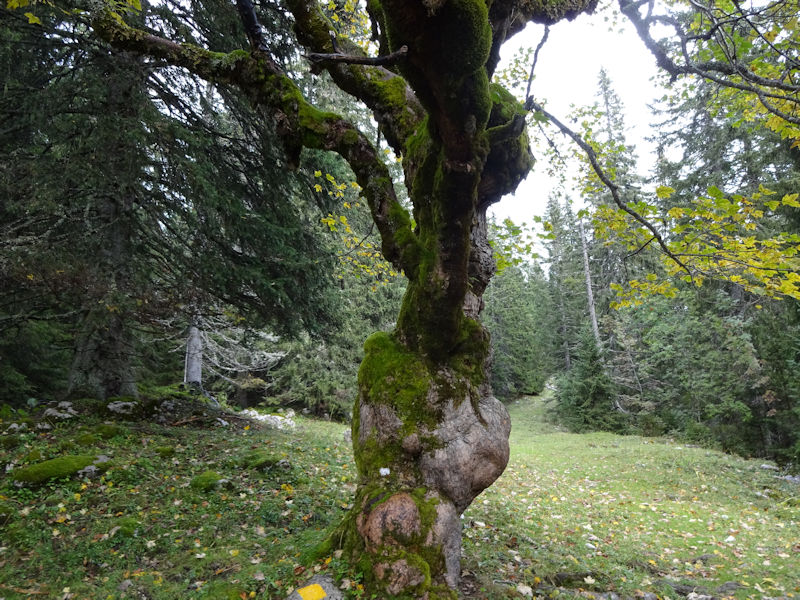
Oh gawd

We stride across the marked path and proceed up the far side balletically.

It looks like slow going.
And so it turns out to be.
The decision-making process in action, or about to go into action

Enough is enough. We abandon our direttissima and look for more congenial ground to walk on.
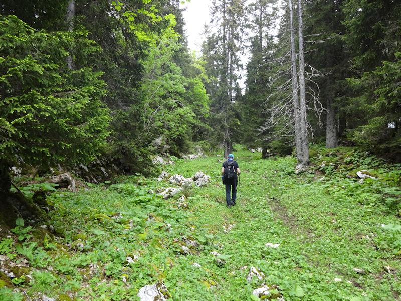
Like this semi-path in the direction of Mont Tendre

Out of the forest, at a shed called Le Sorcier, near a perpendicular marked path across the southwestern end of Mont Tendre
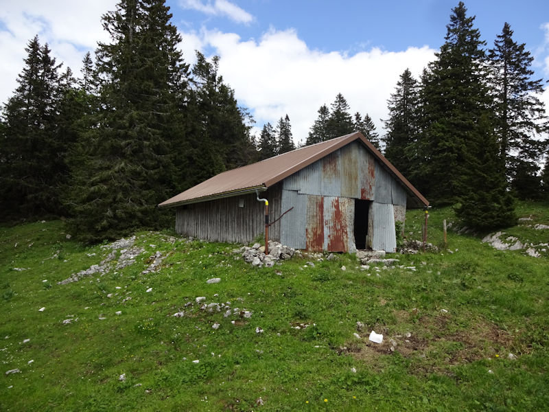
Le Sorcier barn, at 1560m
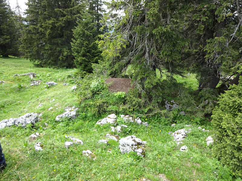
Soon we'll join the Chemin des Crêtes du Jura, passing anthills

The new Geneva Cointrin Aeroport back-up radar facilities, 1600m

Indifferent bêtes

The Swiss Alpine Club (CAS) Cabane du Cunay, with Lake Geneva and France beyond

A look back at the radar tower

Coming back down the hill, near the shed at the Pré aux Biches, here's a lesson on going for hikes in the Swiss Jura. Be careful where you leave your car -- the cows might wander over and lick it half to death, and lick your windshield wipers right off.

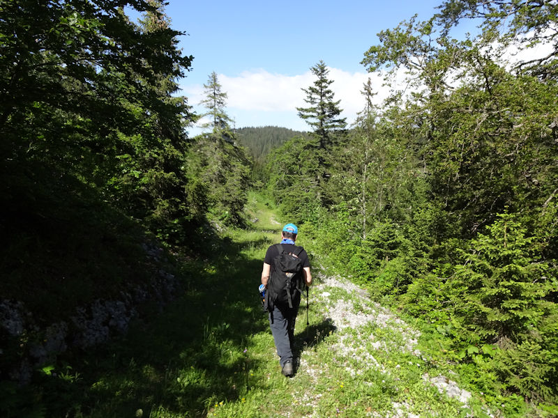
Another shortcut; this is an little unmarked path ramping northward down along the front of the ridge above the Pré de St-Livres.

Our guide is indefatigable.
Soon we'll be back to the car, and on our way down to Nyon . . .

. . . after which, following a relaxing hour's train ride to Ollon, I'll be home in time for happy hour.

 Dwight Peck's personal website

