|
The neighborhood of Ollon Scenes from some local walks in July 2014
Leaving Ollon out the Chemin de la Roche
Looking back at Ollon from the vineyards to the south of town
The Rhône valley, looking towards Monthey
The hamlet of Antagnes, at the little track down through the vineyards to Villy (the Chemin de l'Arzillier)
Along the ruelle du Four à Pains
Continuing towards downtown Antagnes
Farther along le "Plat d'Antagnes"
The centre of Antagnes, more or less, where the Plat d'Antagnes joins the Route du Pissot
Looking down at the vintner, the Domaine de l'Abbaye de Salaz
Back past the bread oven
Lower Ollon, looking towards Lake Geneva (Lac Léman)
Playing chicken: a tractor and a bus full of vineyard workers
Re-entering Ollon on the Chemin de la Roche
Up to the town square To Villy, 3 July 2014
Down En Picherex road into the upper part of Ollon's southern suburb of Villy
The Abbaye de Salaz, which a few days ago we saw from above
A nearby farm
The same farm, at 469m
Ollon in the distance
Ollon somewhat closer
Entering lower Villy (411m)
Villy
Traffic giratoire on the main road between Monthey and Ollon
Ollon centre up the hill
A passing ostrich
The Rue de la Tour up into Ollon, in the neighborhood called En Burlatex
Along the Rue de la Tour
And up to the centre of town
And home Near Panex, 13 July 2014
A shed (825m) on Le Bondet creek, in Le Marais valley below Panex, Switzerland
Salt mining: an ecological menace
Mountain bike tracks on the muddy trail
Out of the forest
We have to eat salt!
Onto the pasture of Monacerna
The ski resort of Leysin across the ravine of the Grande Eau
A farm building in the Monacerna meadow
The next pasture over, a farm building with tepee
A look back at both of them
The road out
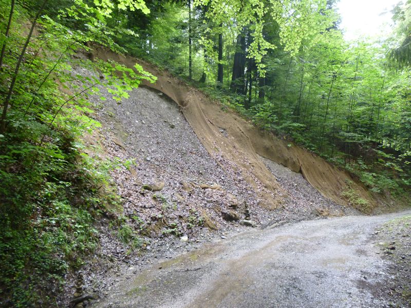
Erosion control
A passing donkey
Panex
A path down from Panex towards the car
Et voilà
The tepee across the ravine
Dieter VW waiting patiently
|
 Dwight Peck's personal website


Recent Events
|