Tobias leads another brilliant outing for Ramsar Convention staff and friends, this time along the ancient bisses in the Swiss canton of Valais, 23 June 2013.
You may not find this terribly rewarding unless you're included here, so this is a good time for casual and random browsers to turn back before they get too caught up in the sweep and majesty of the proceedings and can't let go.
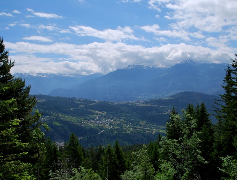
We've been by train to Sion and by bus up the northern side of the Rhône valley to the skilift above Anzère at 1550 metres asl. That's more or less the view from here.
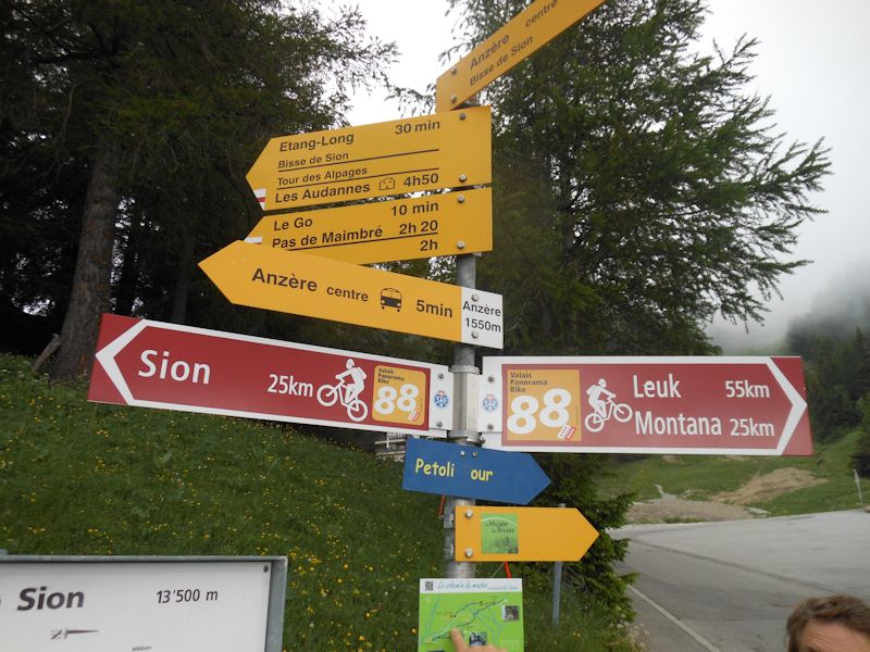
We've come to see the centuries-old system of the bisses (in French; the German is Suonen), the human-made irrigation channels that bring water down from the Alpine glaciers to the villages above the Rhône valley, which are otherwise susceptible to periodic drought.
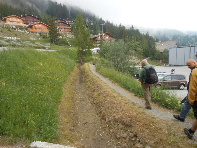
Our walk starts out northward along the Bisse de Sion, one of the large number of serious bisse systems catalogued in the region, some dating from the 14th century, with remnants of many more that have disappeared over the years. The Bisse de Sion has not yet been opened for the summer.
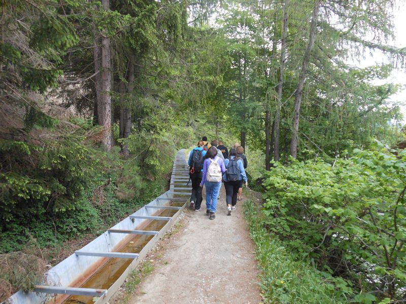
No steep uphills for hikers today -- the whole point of the bisse is to drop in very small increments, to keep the water flowing as far laterally as possible. This one's got modern metal reinforcing.
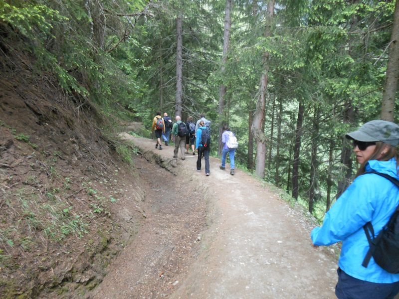
Some of the bisses are very old, many more date from the past two centuries, and some seem still to be in active use for distributing water to the farms and villages all along the slopes. (Some of the old farms are now vacation dwellings, and the lifegiving water seems to be used for watering the lawn.)
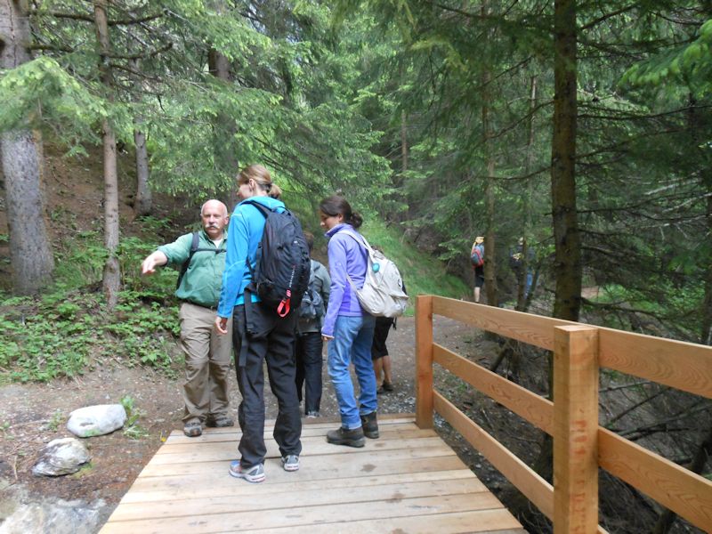
Our guide Tobias is explaining the construction of the canals and the interlocking nature of their networks.
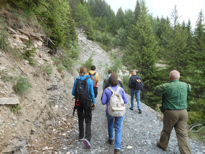
We're proceeding northeastward, soon to move along to connect to another canal network.
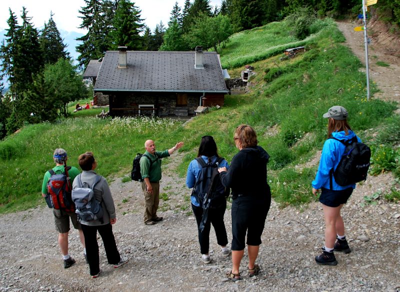
From here we're leaving the Bisse de Sion and dropping down to La Forniri and the Bisse d'Ayent. (Photo by Ramsar staff)

Local architecture, at 1439m altitude
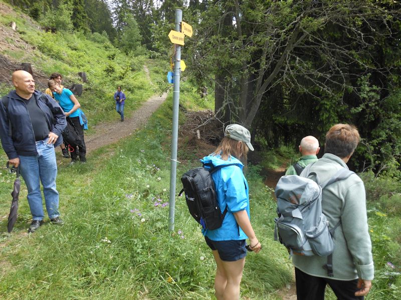
Now, at 1380m, we're joining the Bisse d'Ayent and walking out to see one of the remarkable canals along the cliffs.
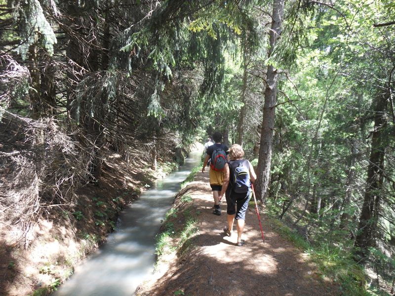
The Bisse d'Ayent may be one of the oldest surviving canals, earthen here, but wait till you see what's ahead.
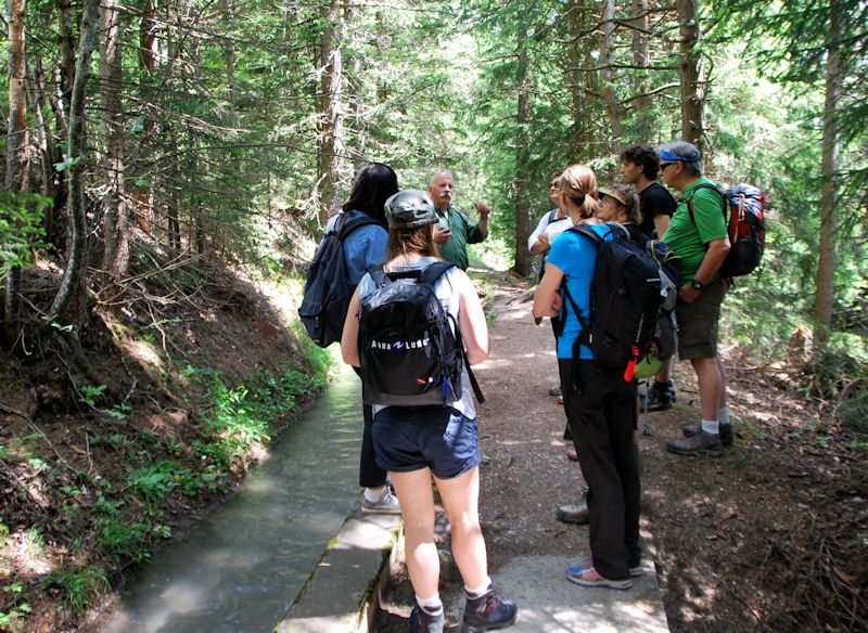
The significance of the bisse system is not only that it was engineered to move water from the high Alpine glaciers and lakes to where it was needed. It was also managed by ancient and modern communities to distribute the water, as well as the labor of maintenance, amongst all the various 'stakeholders' in each community (like the fougara system in North African oasis communities), and it also fostered collaboration among the communities through which the canals passed. (Photo by Ramsar staff)
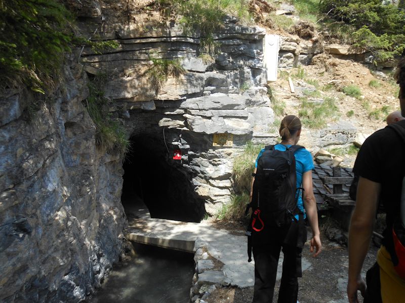
Sometimes, of course, there's no gentle hillside to dig a canal into -- what then? Here a modern tunnel carries the water behind a sheer cliff face.
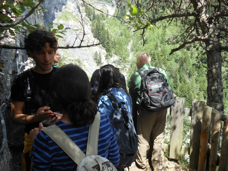
But the old hillside path ends right here . . .
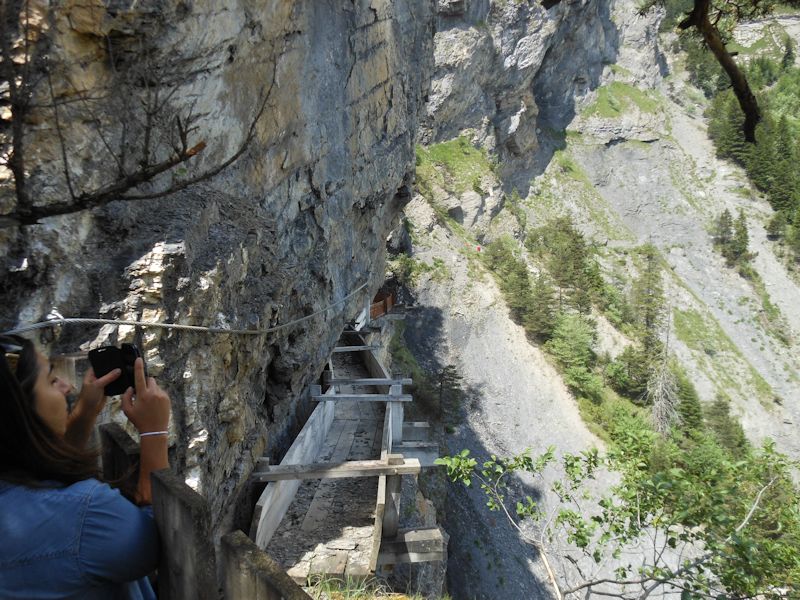
. . . with a horrifying wooden construction out across the cliff.
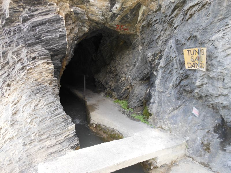
As long as the tunnel is "sans danger", we'll continue.
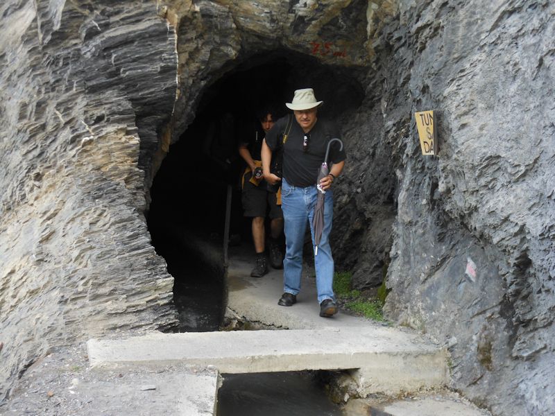
Emerging from the short tunnel, still following the water
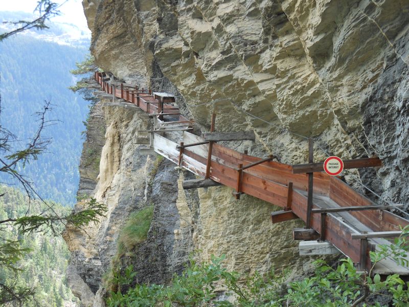
This is it; it's been restored in modern times, but the original Bisse d'Ayent, which has always carried water from the Lac de Tseuzier (draining the Rawilpass region between the Wildhorn and the Glacier de la Plaine Morte) dates from at least 1445.
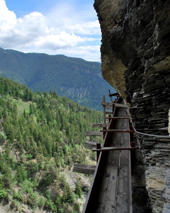
Bold and determined 15th century farmers, they must have been (photo by Ramsar staff).
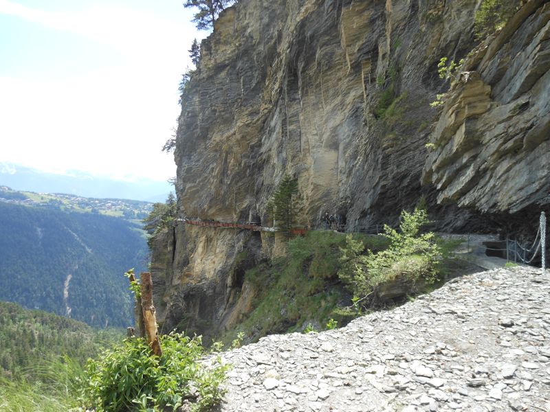
Another look at the Bisse d'Ayent
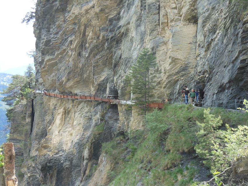
Our party is catching up with us from the tunnel
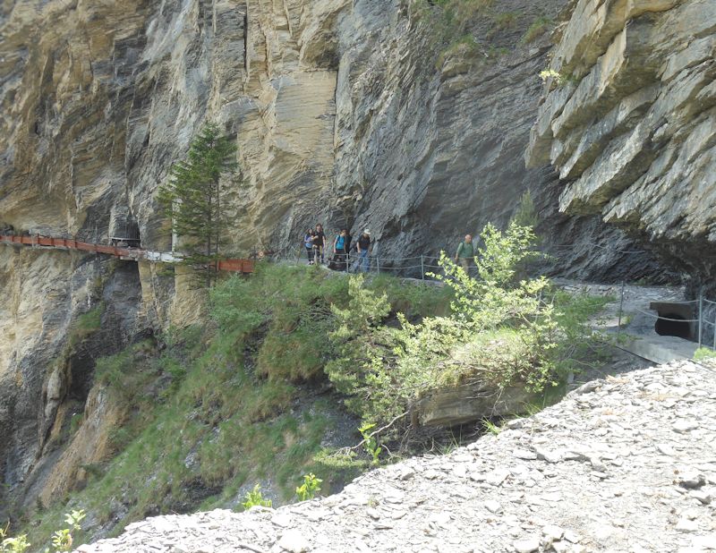
Some of us have been muttering about lunch, and it's time for a meeting.

A meeting: Right, it's time for lunch.
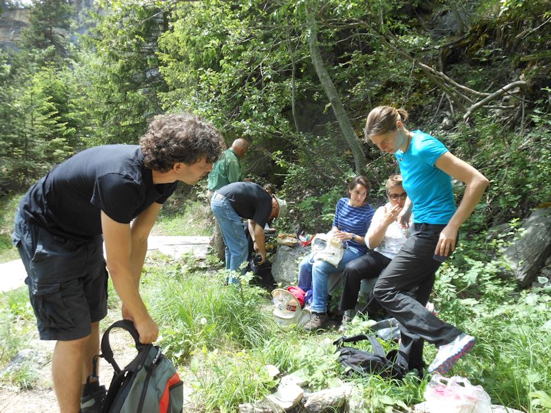
Everybody's sharing. From left: Manu, Tobias, Gerald, Laura, Catherine, Virginie
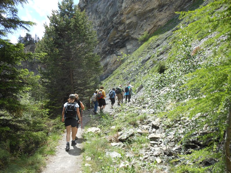
And now: back to the tunnel.
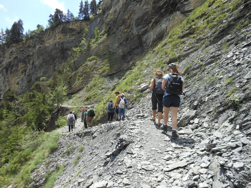
The Bisse d'Ayent is one of the longest, 18km in all from the Lac de Tseuzier, but we'll only be traversing back along it 4 or 5km southwestward for a while.
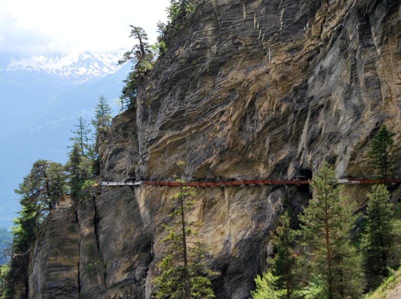
A last look before plunging back into our tunnel (photo by Ramsar staff)
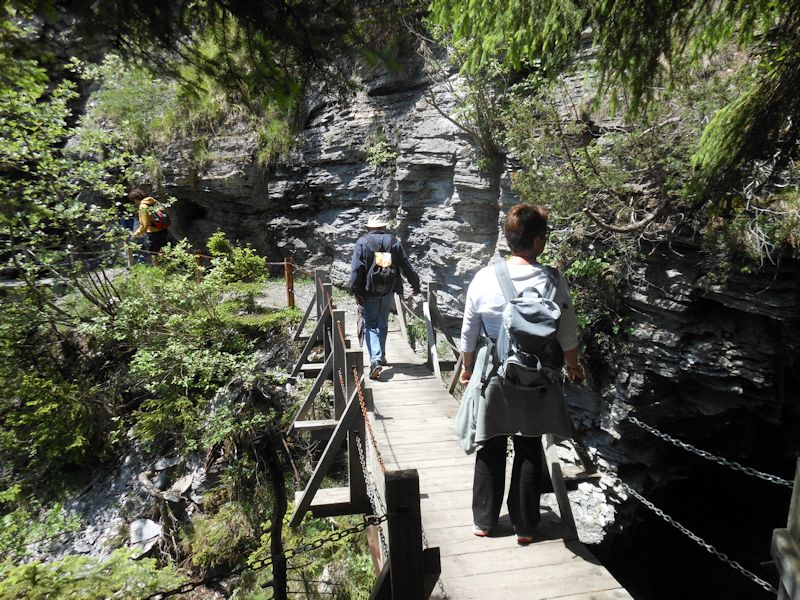
A little bridge over the Torrent de Forniri
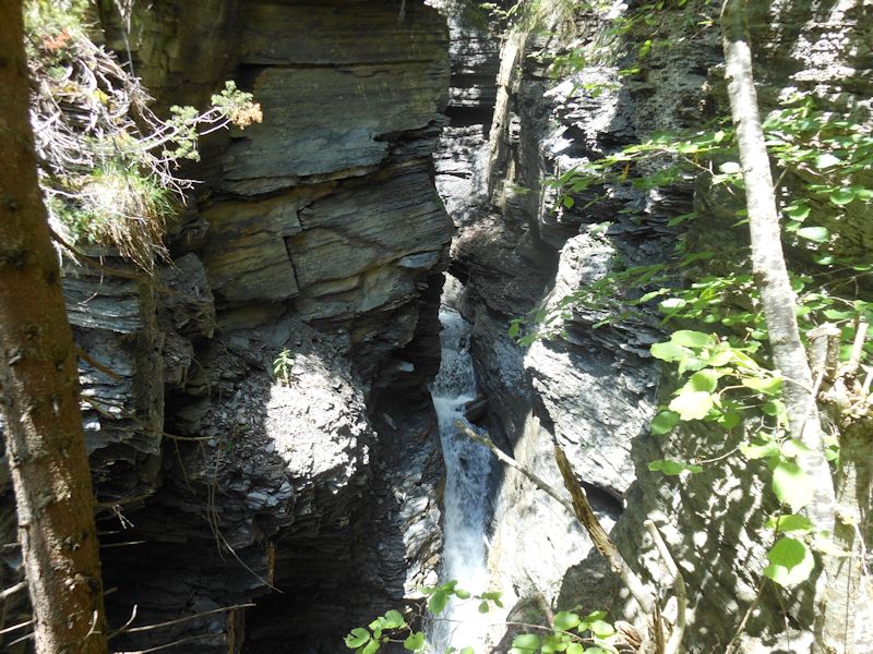
The Torrent de Forniri. Way down there.
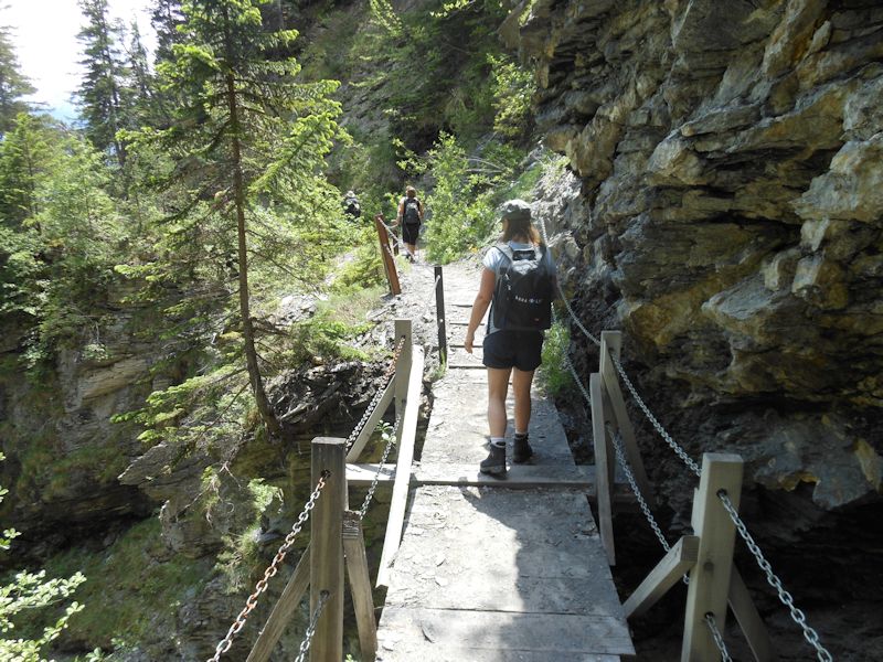
We continue.

Virginie, Jacqueline, Nessrine, and Tobias
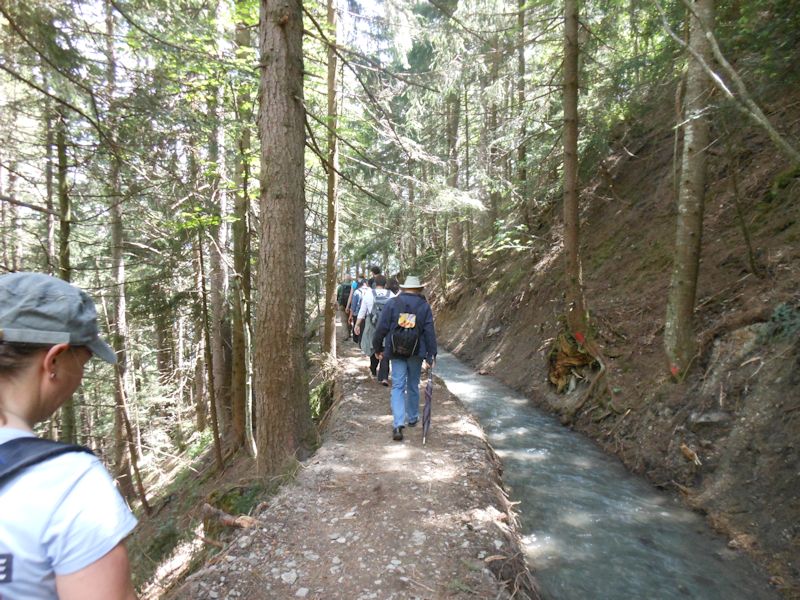
We're passing above isolated farms, each of which has its own little sluice to channel some of this water down to their patches when their turn comes. The water's flowing faster here . . .
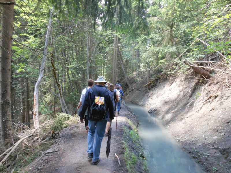
. . . but more slowly here, depending on the degree of slope.
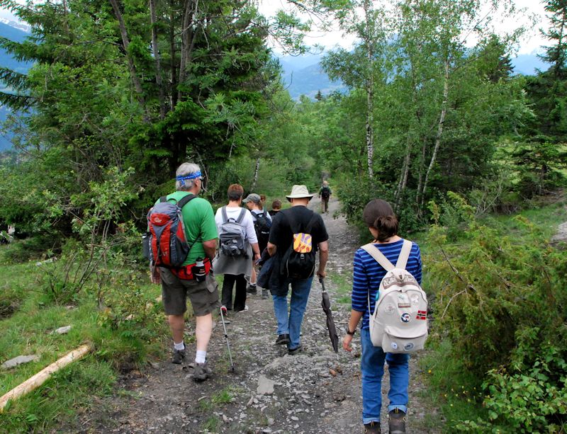
We've left the bisse now and need to descend for a while to find our bus stop.
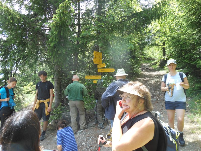
Tobias checking his map. From left, Virginie, Nessrine, Manu, Laura, Tobias, Jacqui, Gerald, Kristin (foreground), Lynn
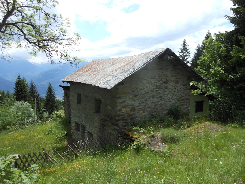
Rural architecture, somewhere around Arbaz
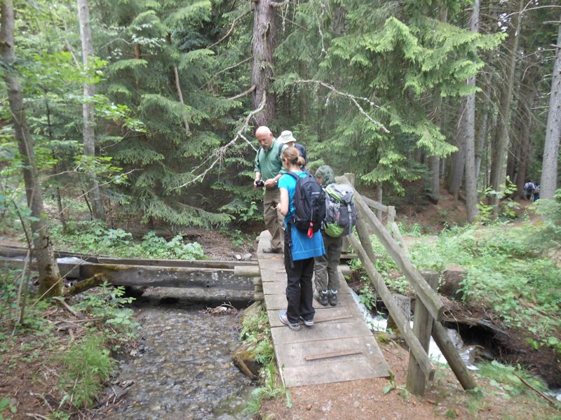
Two separate bisses crossing one another at right angles
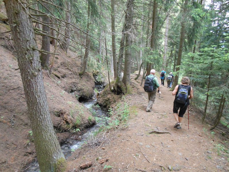
A natural bisse descending towards Saxonne and Botyre
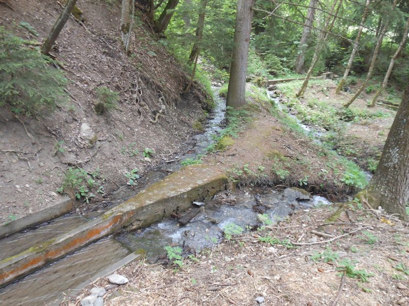
A switching system for diverting water from one system to another
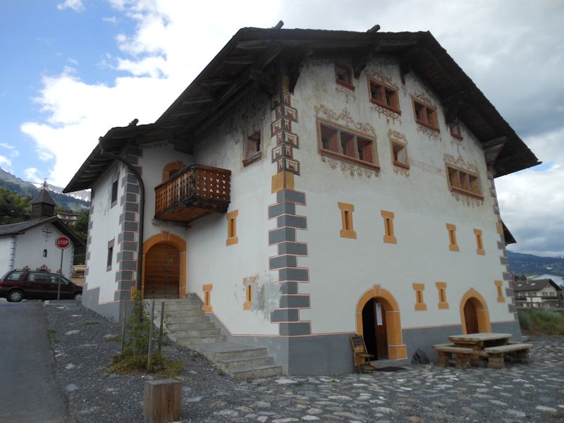
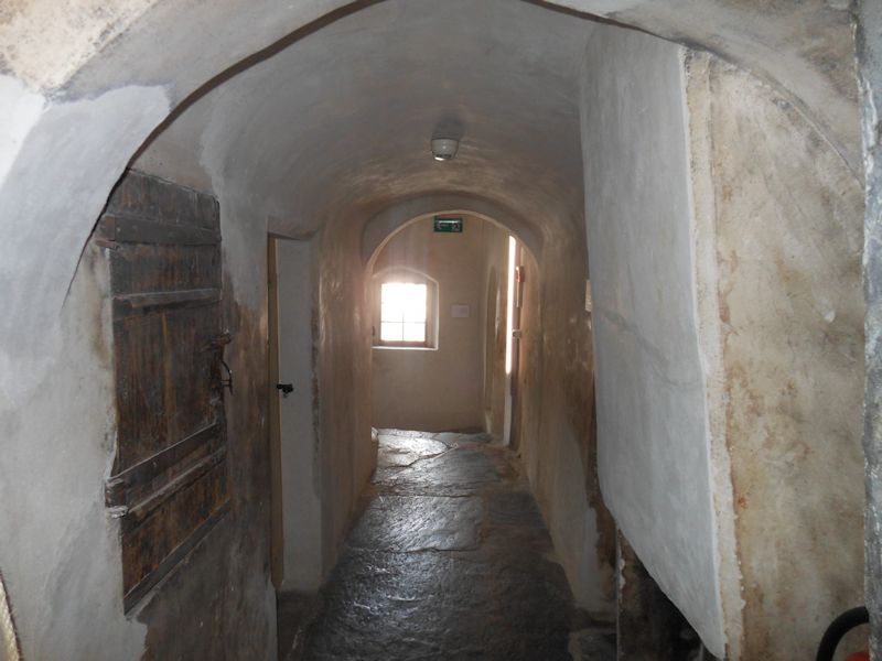
And finally we arrive in Botyre (975m), in the commune of Ayent, to visit the Bisse Museum (or as MySwitzerland calls it, the Valaisian Suonen Museum), and then find a snack nearby until our postal bus passes through.
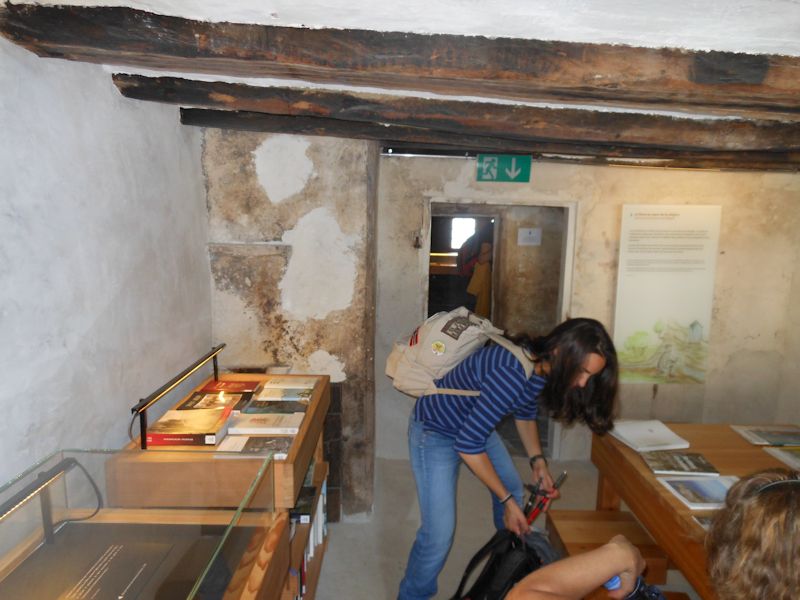
Laura and Kristin in the Bisse Museum
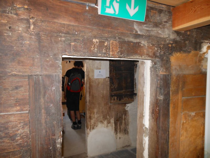
Manu a few rooms down the way
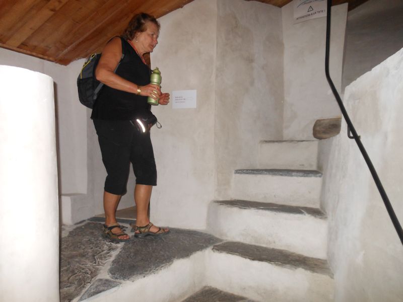
Mind the step.
It's time to go home now.