|
 Dwight Peck's personal website Dwight Peck's personal website
Forest
refuges of the Jura
The
area around the Col du Marchairuz
Buildings
are widely spaced out in the forests of the main ridges of the Jura mountains
in the area between the Cols of Mollendruz, Marchairuz, and Givrine. There are
substantial farm buildings, many of which can be seen here in their lonely winter glory, and there are a small number of private huts, also
fairly substantial and all locked up, evidently owned by nearby communes and communal
ski clubs for the weekend snow-parties and summer barbecues of their privileged
members or their assigns.
There
are also, however, a number of little one-room refuges stuck way out in the forest,
intended for the use of the foresters when they need them but open to the discerning
public in the meantime. They are sometimes unlocked, stocked with firewood and sometimes
with basic utensils, and frequently with a dortoir or common sleeping room stuck
up under the roof. In theory (see the regulations below) they're for daytime use
only, but overnighting is permitted "in case of distress", and it's
not a bad idea for snowshoers and backcountry skiers to know where they are in
case they twist a knee badly and want to go lie down for a while.
La
Pierre Tournante
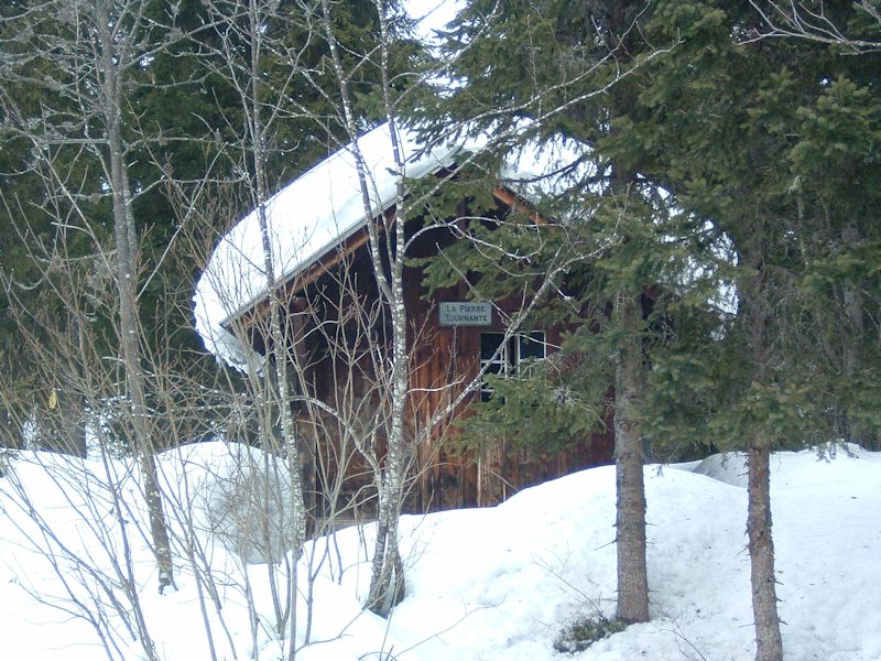
The hut
of La Pierre Tournante is just off the Marchairuz road towards Le Brassus at about
1354m (first map below).
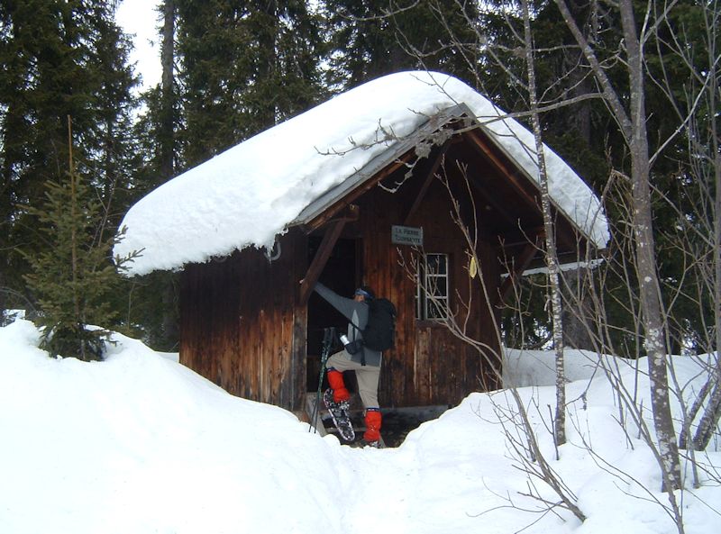
Dr
Pirri struggling to get his big Yukon Charlies up the steps for a peek inside,
29 January 2006.
|
|

|
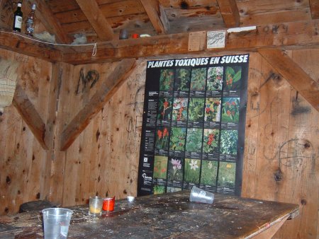
A
bit of a mess, but cosy.
Broken
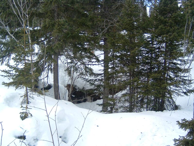
ground between the refuges of Pierre Tournante and Joratte
The
Refuge de la Joratte
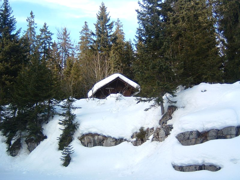
The Refuge
de la Joratte at 1330m, 29 January 2006. The hut lies on a little bluff in the
forest of Grande Rolat above the hiking path from the Sèche de Gimel near
Amburnex and, downhill to the west, Le Cerniat above the Vallée du Joux
town of Le Brassus, just where the path turns into a dirt road.
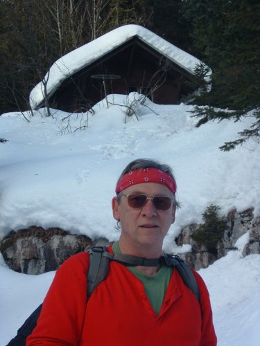
The narrator
at La Joratte, January 2006. The hut is a landmark in the sense that it's at the
hub of a number of paths leading northwest downhill, northeast into the centre
of the forest, southeast to the Sèche de Gimel, and southwest towards Pierre
à Ecusson.

Kristin's
visit to La Joratte, 4 January 2004

A quiet
moment for Christian prayer. Or if not that, then, philosophical reflection. Or
if not that, then a sandwich.
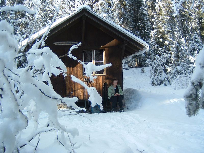
January
2004
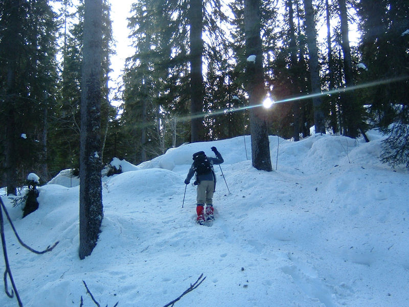
The countryside
between La Joratte and Pierre à Ecusson, avoiding normal paths for some
reason. January 2006.
Pierre
à Ecusson
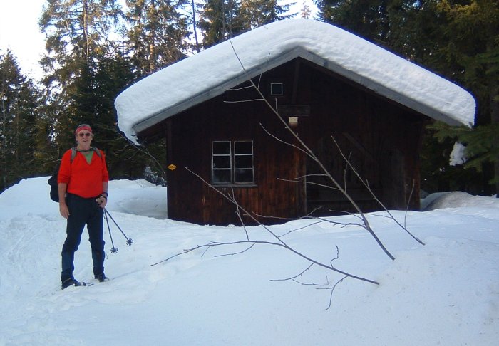
The
refuge of Pierre à Ecusson, 1346m, 29 January 2006. A dirt road leads up
from Le Cerney to just northwest of here, and from here becomes diverging paths
to the northeast and south.
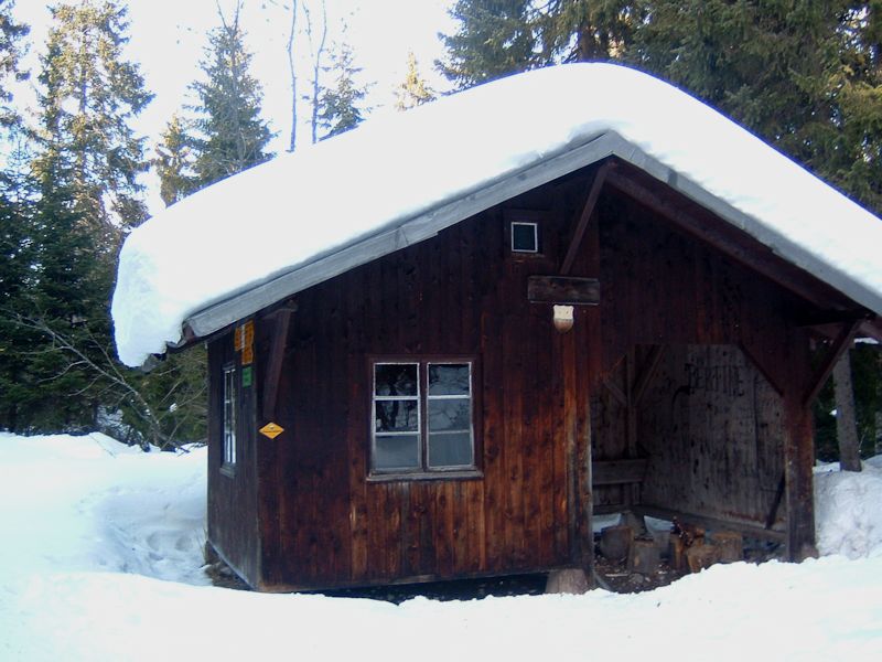
Pierre
à Ecusson (1346m), 29 January 2006, with a sleeping loft up under the roof.
|

|

|
January
2006

Lisa's
visit, 23 February 2003
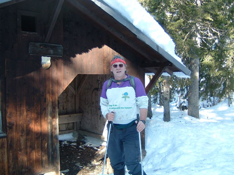


Sublimity
in the Jura, January 2006 (between Pierre à Ecusson and the Sèche
de Gimel)

The
Refuge "Intercommunale" in the forest of Grande Rolat
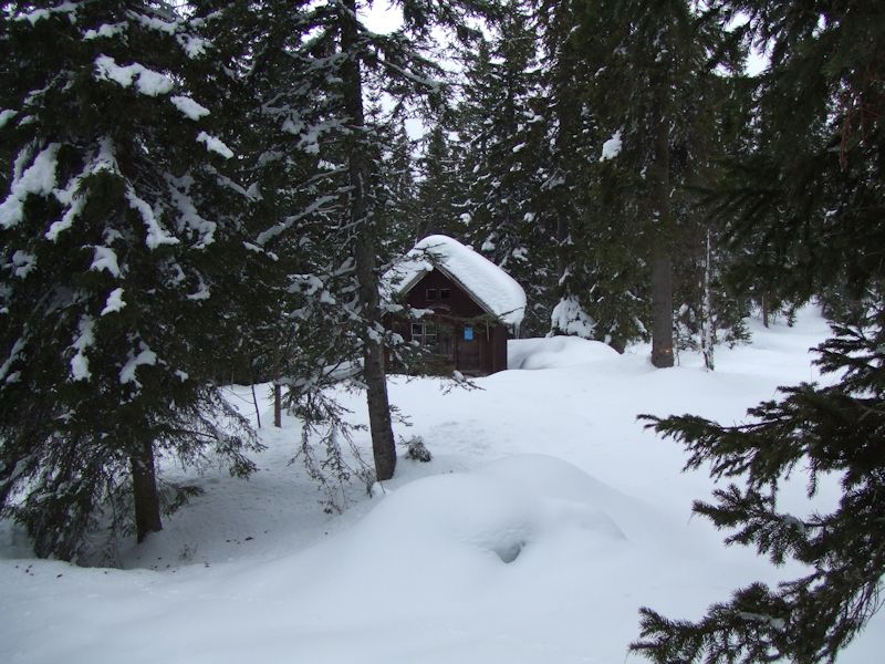
The refuge
(1346m) peers back at us out of the forest. The place looks forlorn enough, but
a popular hiking trail passes just behind the cabin from the main road to the
Sèche de Gimel and is usually beaten down by battalions of snowshoers nearly
to tarmac, as hard on the knees as the floor of a hotel lobby or convention centre.

There's
a wooden name sign on the front wall, just under the two little dortoir windows,
which is almost perfectly unreadable. I finally came up with something like
"I . t . erc . om . ua".
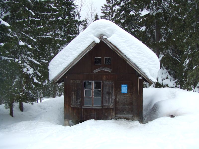
In fact,
it appears that (see the blue sign at the very top of this page) we're now in
the forest owned by the commune or town of Le Lieu in the Vallée du Joux,
but the refuge has been built in collaboration with the nearby commune of L'Abbaye.
Thus it's the refuge "Intercommunale".
|
|
|
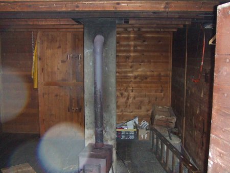
Very
snug and cozy. Very like all of the other refuges. The ladder (bottom left) seems
to be for getting up into the sleeping loft.
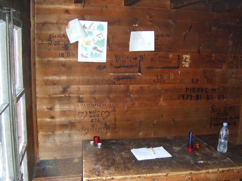
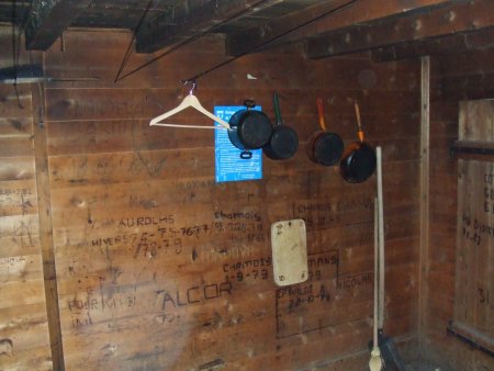
The
guest book and some kids' drawings of the place in springtime.

| Rescue
Group, Jura Vaudois Hikers,
you who pass through our magnificent region, thank you for respecting this refuge.
For us, it is a valuable reference point in the search when someone has become
lost.
If during a hike one of your companions has got lost, make this known
immediately by telephoning 117.
We will come, if needed, to make a search,
24/24.
This box contains what you need to inform yourself and get help.
We wish you pleasant moments in nature.
Rescue Group, Jura Vaudois.
|
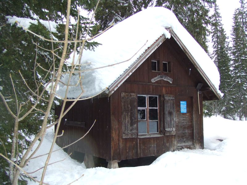
The guest
book's filled with lots of enthusiastic families who had marched out here for
a barbecue in "the nature" and seemed moved by the experience. (For
someone who grew up in northern New Jersey, where litter is frequently an improvement,
this is a wonderful thing to see.)

From
the Carte National de la Suisse, 25,000 scale: 1241, Marchairuz
The
four refuges pictured above can be found at the blue dots. The Col du Marchairuz
road runs by the red dot.

The
Refuge of the Bois Carré
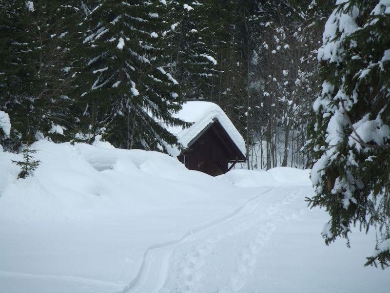
Unlike
those above, the refuge in the Bois Carré is on the north side of the Marchairuz
road and is owned by the commune of Chenit in the Vallée du Joux, which
covers the towns of Le Brassus, Le Sentier, and L'Orient at the southwest end
of the lake.
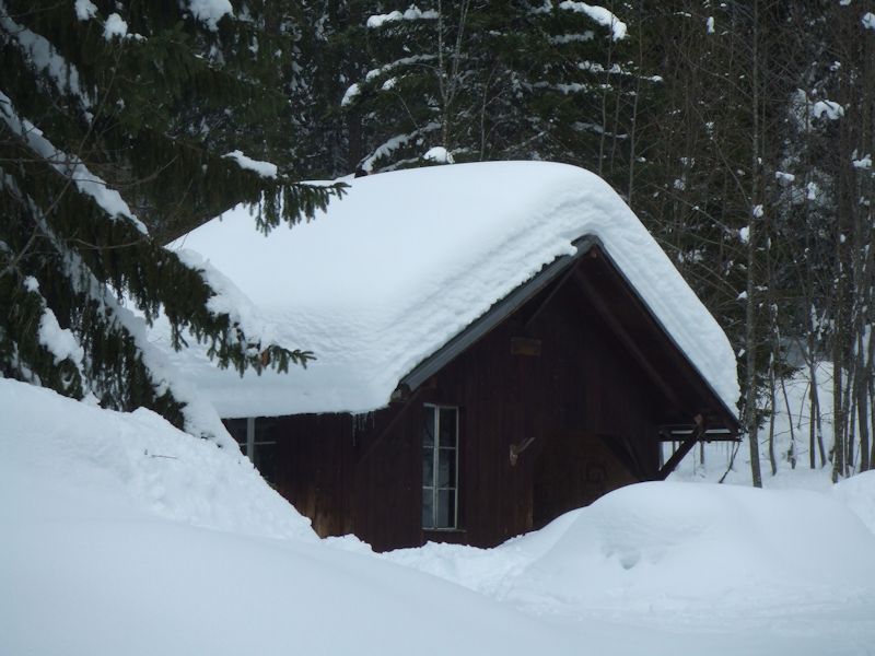
A
welcoming sight in the dark forest.

But looking
a little stranded and alone with all that snow on it. The ornament to the right
of the front windows is a fake chamois' skull made of bits of wood and Heineken
beer bottlecaps.
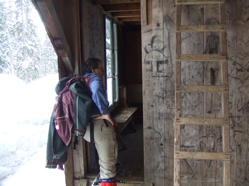
The
ladder leads up to a sleeping loft above the single room. Our guide leads mostly
at random.

A
cozy sort of place, with its Toulouse-Lautrec, map of the area, regulations on
the wall, and most of all its place mats.
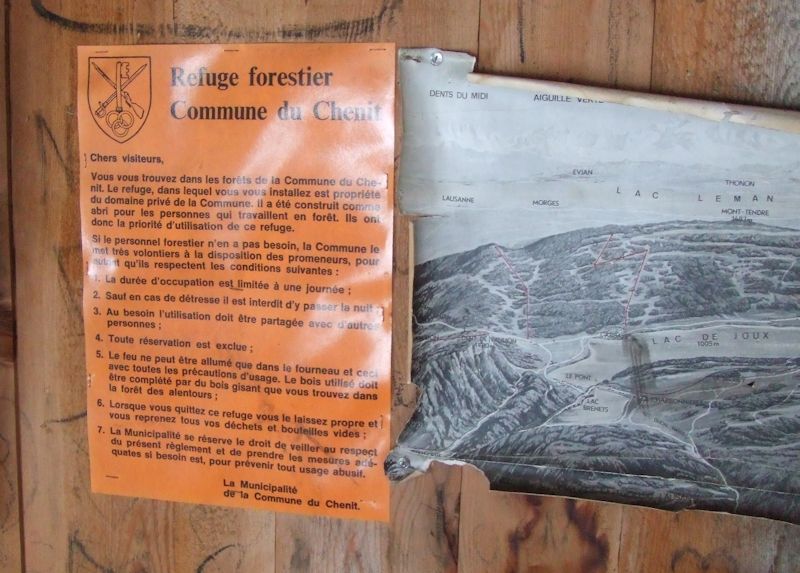
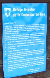
Most
and probably all of the forestry refuges in the area have the same set of rules,
varying only by the name and logo of the commune that owns that part of the forest.
Forestry
refuge
Commune of Chenit
Dear
visitors,
You
find yourself in the forests of the Commune of Chenit. The refuge in which you
install yourself is the private property of the Commune. It was constructed as
a shelter for the people who work in the forest. Therefore, they have the priority
in the use of this refuge.
If
the forestry personnel don't need it, the Commune willingly puts it at the disposition
of hikers, as long as they respect the following conditions:
1. The
length of occupation is limited to one day.
2. Except in cases of distress,
it's prohibited to stay overnight.
3. When needed, the use of the refuge must
be shared with other people.
4. No reservations are permitted.
5. Fires
can only be lit in the stove and with all of the precautions of such use. The
wood used should be replaced by fallen wood found in the forest roundabout.
6. When you leave the refuge, you should leave it clean and carry out with you
all your refuse and empty bottles.
7. The Municipality reserves the right
to supervise the present rules and take suitable measures if necessary to prevent
any abuse.
The
Municipality of the Commune of Chenit.
|
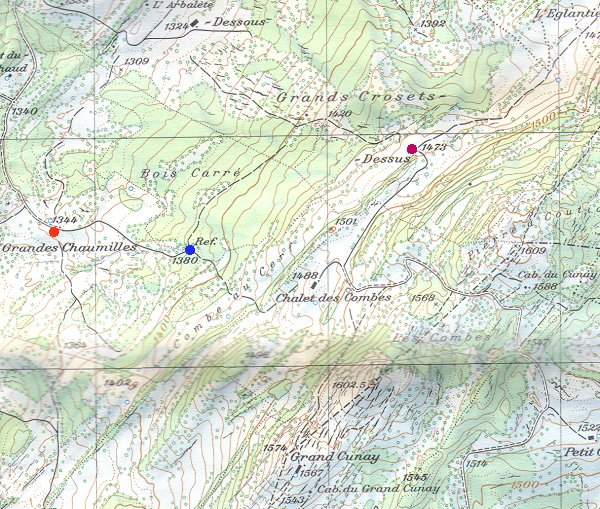
From
the Carte National de la Suisse, 25,000 scale: 1221, Le Sentier
The
Refuge of the Bois Carré is at the blue dot.

Cabane
du Cunay (1588m), Club Alpine Swiss, 19 January 2003

Cabane
du Grand Cunay (1543m), Ski Club Le Brassus, 20 December 2003
The
little refuge that couldn't
A
little forestry hut slowing passing into history, in the forest just south of
the Pré de Rolle, February 2004
 Feedback
and suggestions are welcome if positive, resented if negative, Feedback
and suggestions are welcome if positive, resented if negative,  .
All rights reserved, all wrongs avenged. Posted 4 March 2006, revised 10 October 2008, 10 September 2014. .
All rights reserved, all wrongs avenged. Posted 4 March 2006, revised 10 October 2008, 10 September 2014.
|