You may not find this terribly rewarding unless you're included here, so this is a good time for casual and random browsers to turn back before they get too caught up in the sweep and majesty of the proceedings and can't let go.
A walk on the Pottawattomie 'Canal Trail' & another putative 'moraine'
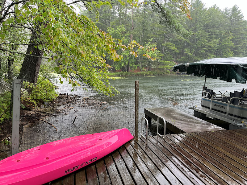
Another vile rainy day, 15 August 2024
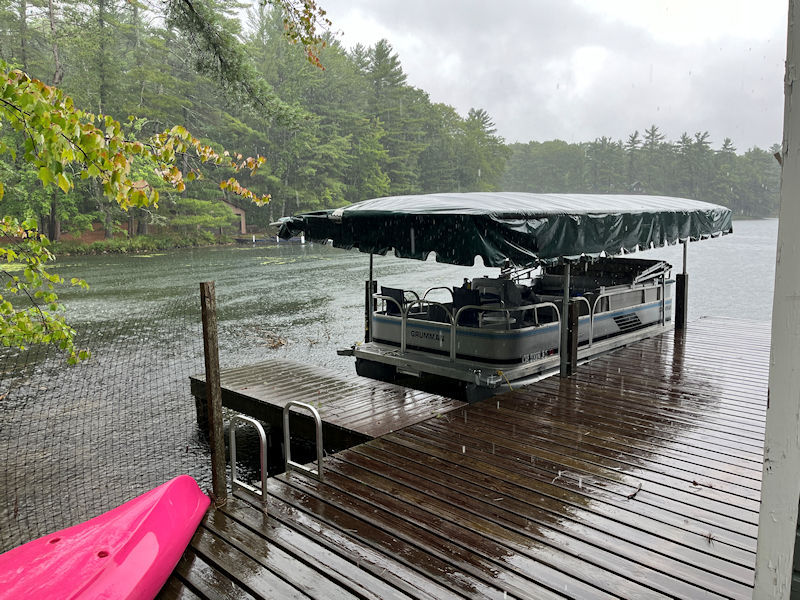
At this point in the summer, we can't spare many more days to the hostile elements.
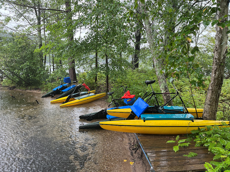
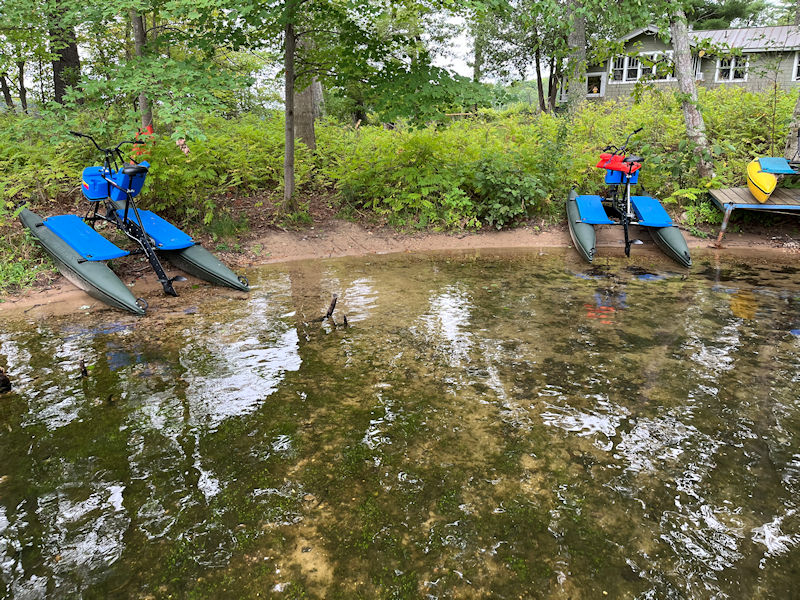
The bikes look so lonely.
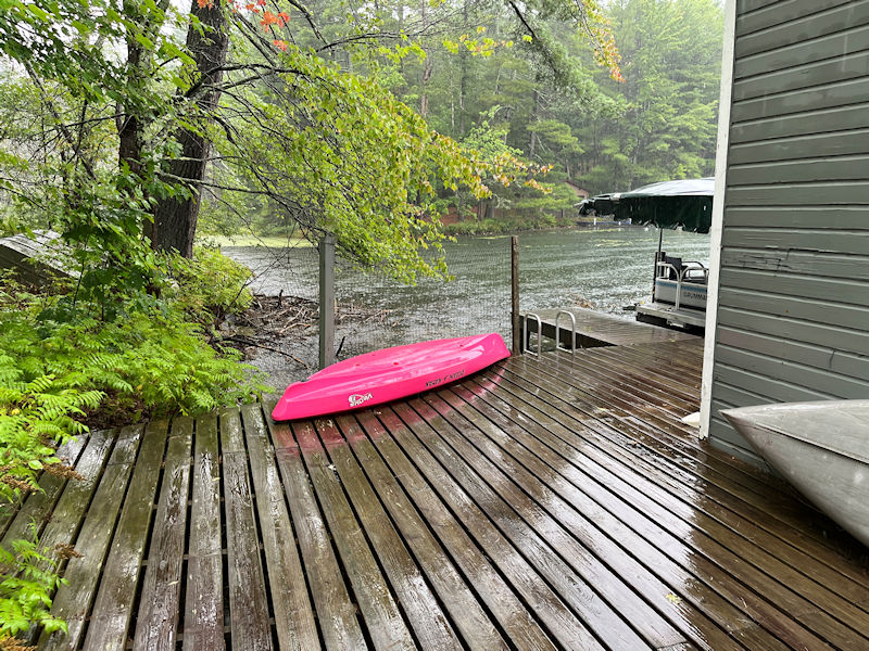
No one wants to spend a few hours in the smelly old boathouse, so . . .
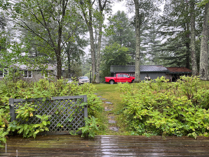
. . . we'll gather up Choupette and bolt for the house.
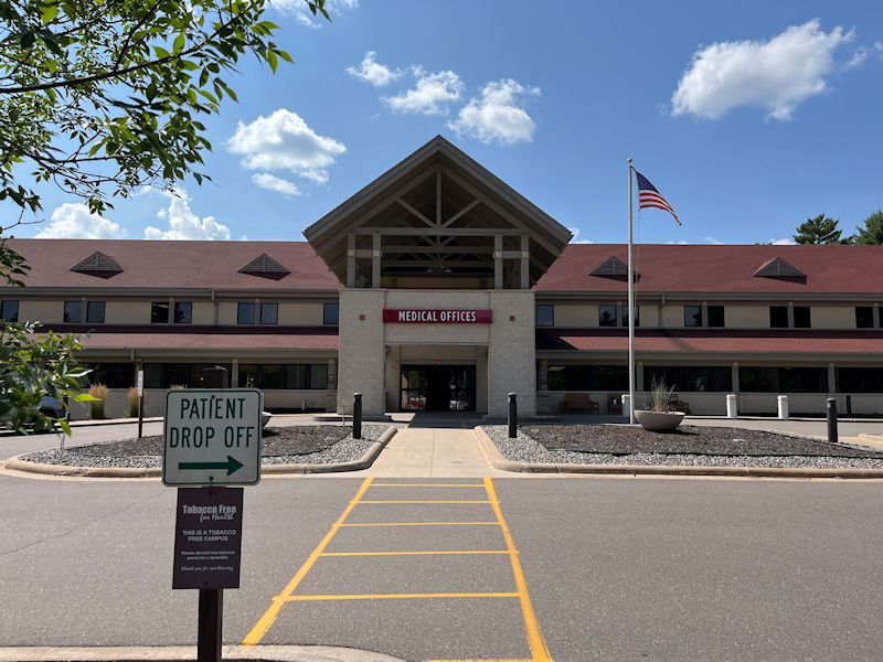
Uh oh. After having got every Covid vaccine since the first one in February 2021, seven of them so far, guess what? One of us down on 14 August and rather uncomfortably so, the other on the 18th though troubled only by a mildish two day cough. And a very runny nose.

But on the 25th, all clear.
Borrowed wildlife photos
On 18 August we took a little jaunt into the canal to the mid-lake, then back out and all round the Tomahawk Bay. One member of our party evidently hasn't mastered the delicate operations of the iPhone camera and wasted his time with it altogether, but luckily the rest of our party (Oscar) has contributed a few of his own.
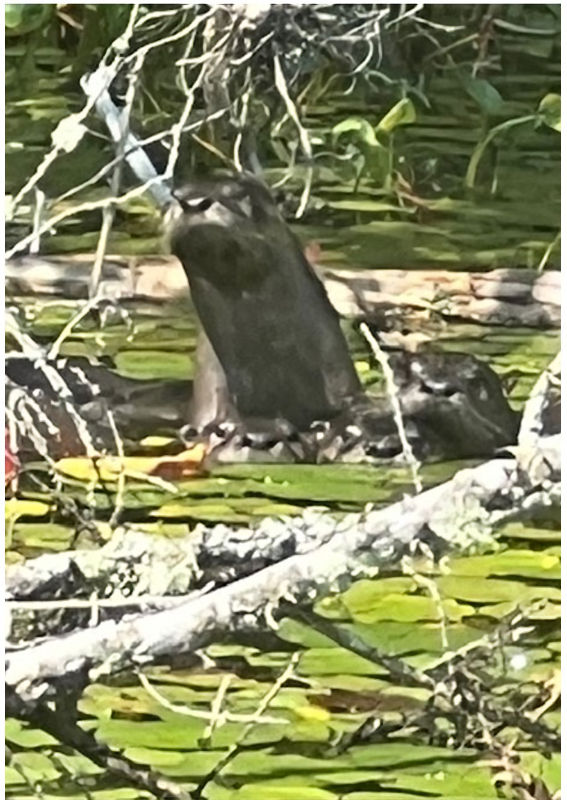
Like this family of otters in the mid-lake (photo by Oscar Marquis)
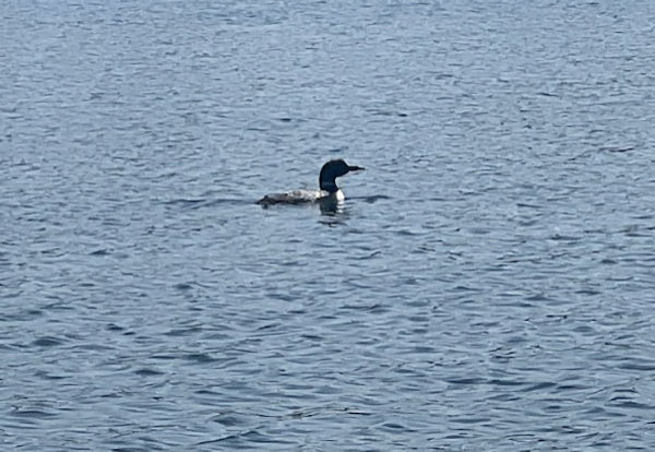
And these of the loon family, which obligingly let us sneak up more closely than usual (photo by Oscar Marquis)
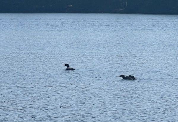
Mom and the juvenile (photo by Oscar Marquis)
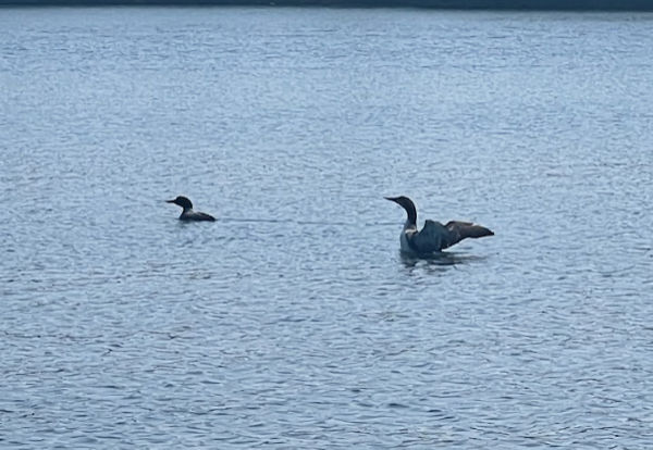
They're divers and need to flutter-dry the wings to help with the flying (photo by Oscar Marquis)
The Pottawattomie 'Canal Trail' and some ill-informed wandering about
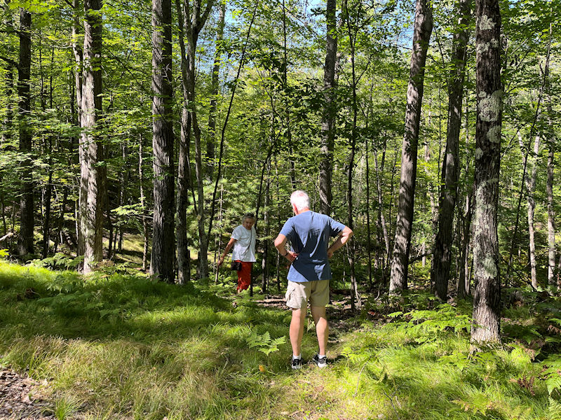
The Canal Trail runs straightishly from near the mid-lake of the canal for a mile northward into the heart of the Pottawattomie Colony reticulum of walking trails (see map just below).
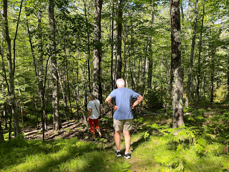
At the southern end of the Canal path, though, there are only a few little colored tin things nailed to the trees by the road, but now they've been spotted, and we're off. Oscar and Cathy have joined in the anticipated fun, 22 August 2024.
Nominally, according to the map below, the southern Canal Trailhead is at the bench on the mid-lake, far from any parking.
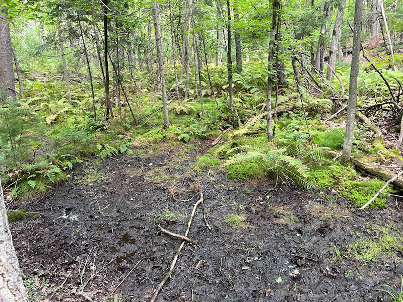
The first few minutes can be a little discouraging, but the path gracefully picks its way round all this squalid mess, and then . . .
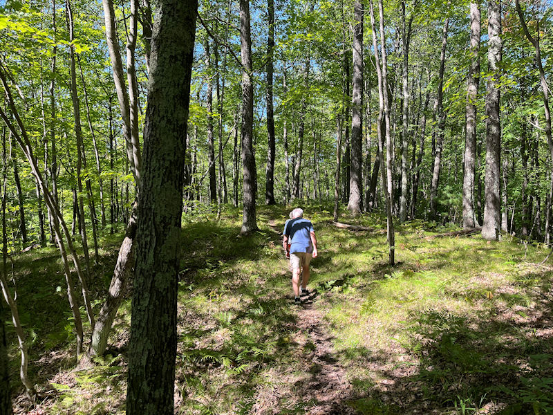
. . . mounts the end of what looks like a long glacial moraine, dropping off maybe 25 meters on each side for a long stretch of this Lakeland Conservancy forest reserve.
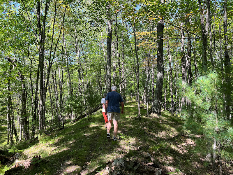
We've been here before, of course, and on one occasion two years ago we took the trouble to find out who put this healthful sporting outdoor treat together, when and why. That's available here.
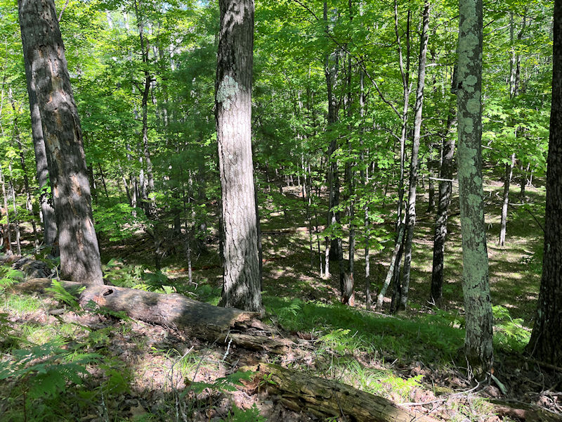
A view down off one side of our gentle thoroughfare, and the other side looks about the same.
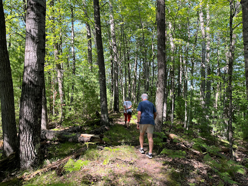
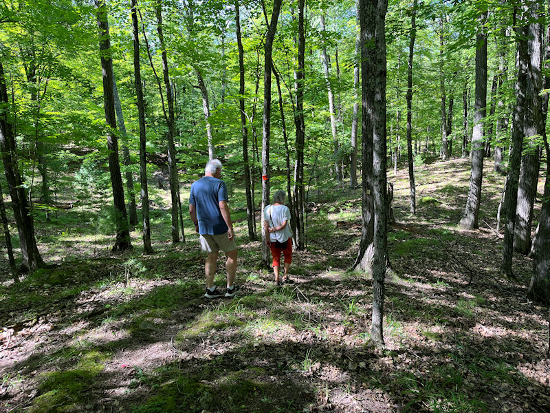
Down off the end of the pleasant raised track into some more varied terrain

Cathy and our photographer are probably being dismissed as just a few stragglers. Don't let us hold you up!
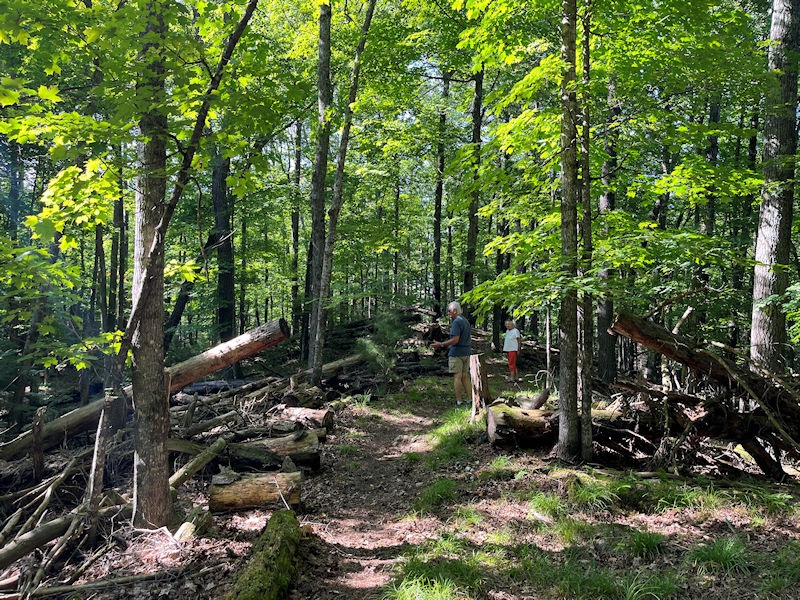
-- Who left all this mess just lying round?
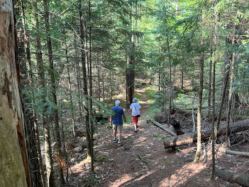
Downhill in earnest, and approaching the Canal Trail Trailhead . . .

. . . not far from here. For some reason, still unfathomable, we decided to take the Anderson Trail in return, instead of back along the Canal Trail.
We did the same thing last time, and had to return to this point after 20 minutes of northward folly.
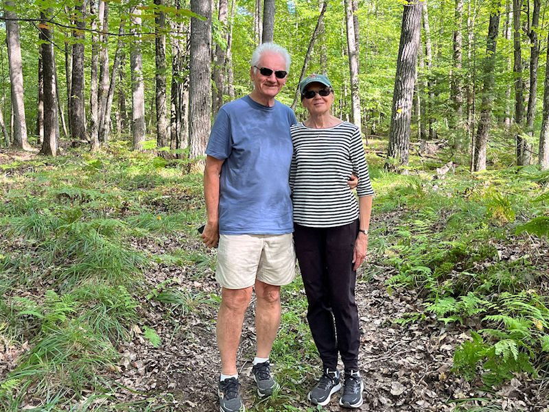
At least our spirits are still in good form . . .

. . . as we try to figure out where we are and how to get out of here.
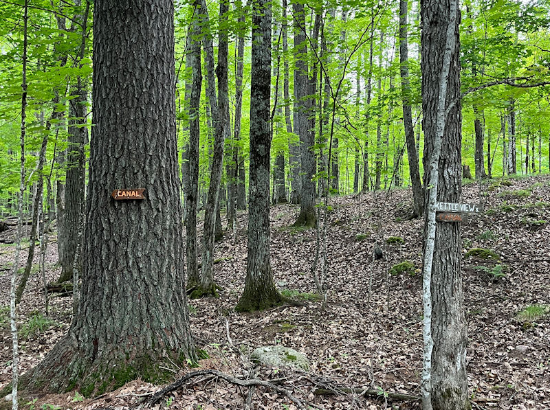
Relievedly to report, our northward progress on the Anderson Trail has a spur (it's not on the map, which we'd forgotten to bring with us anyway), which got us turned round south again from the Anderson Trail and back down to the Canal Trail via the Kettle View Trail (which we will properly visit soon).
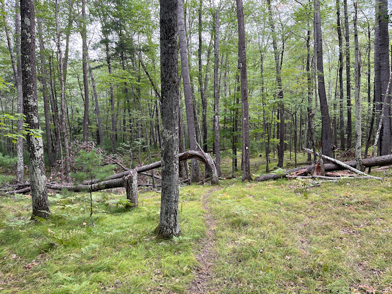
That's familiar, we must be descending now towards . . .

. . . the tar pits. With the cars just up on the road at the top of the photo.

An interlude

-- When's dinner?
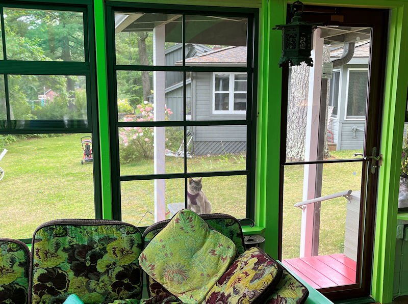
-- Fine! First you won't let me out without this humiliating harness . . . now you won't let me in.
Another grand morainish sort of Natural Wonder
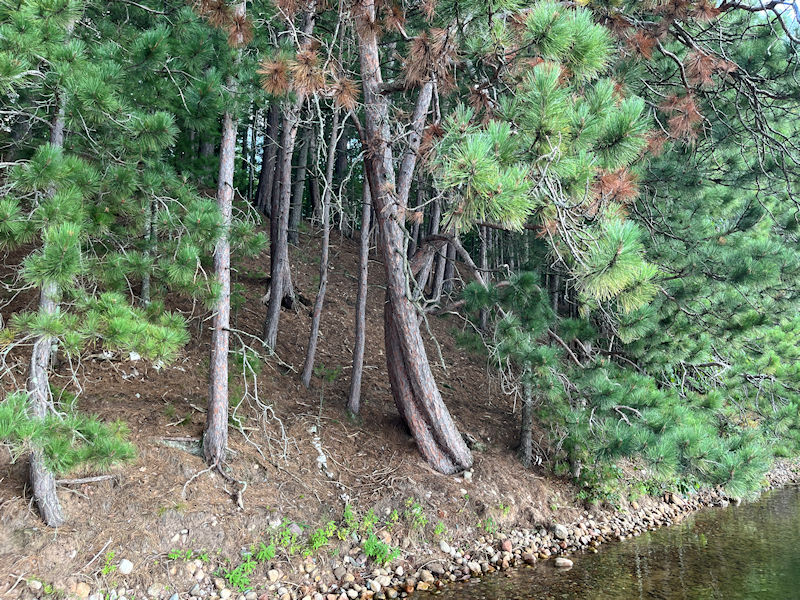
First, a few minor shoreline Natural Wonders on the way there

A crowded dance floor

Another battle lost a long time ago
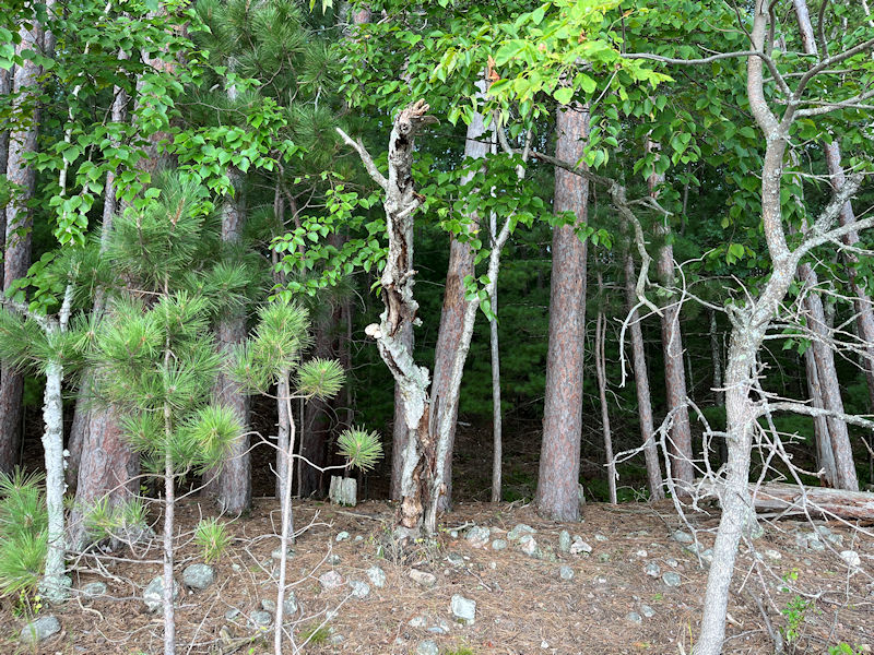
A sorry case of the King's Evil (scrofula, mycobacterial cervical lymphadenitis), but on a tree??
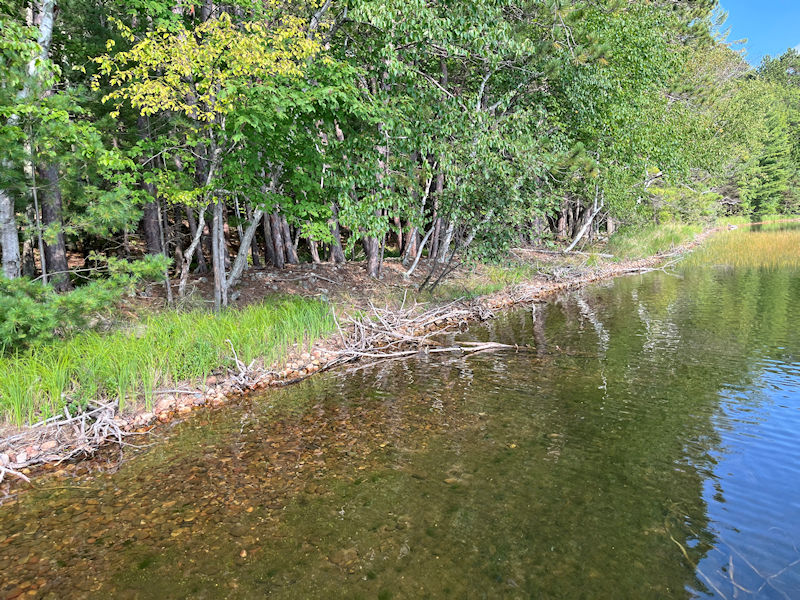
Here we are, along the northwestern edge of the Sandy Beach Bay (called 'Manila Bay' on the map below, doubtless for reasons that made sense a century or so ago [celebrating Commodore Dewey's naval victory there in 1898? really?])
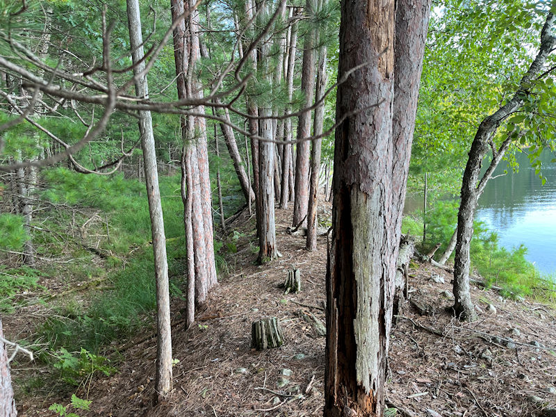
This fascinating formation has been described to us by Cousin Rob as 'an artifact of the ice buildup on the lake receding in the springtime'. [Rob's not here anymore to enlighten us further.]
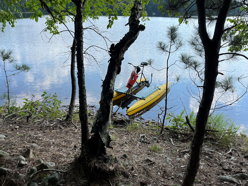
-- Stay.
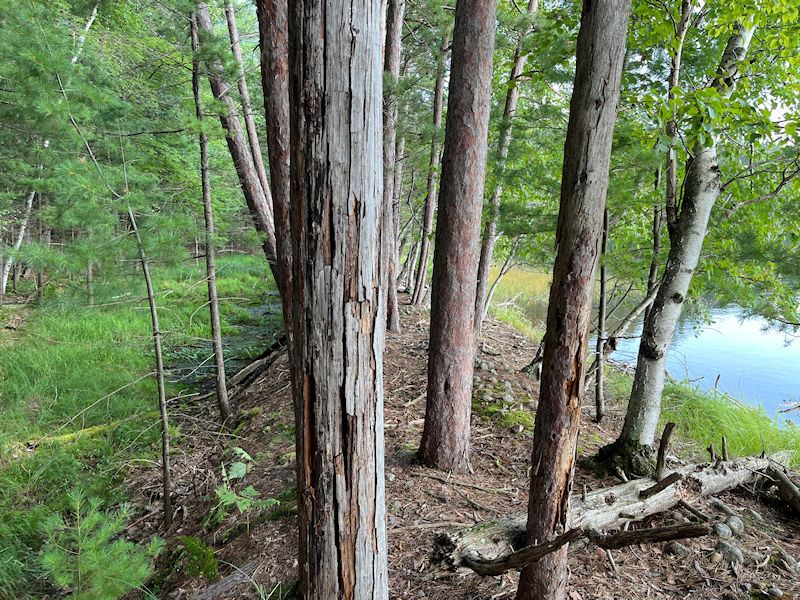
This tree-worthy line-up, between the lake on the right and its own little parallel slopes of mud, extends for something like 80 meters in a straight line.

Those trees are similar, probably identical, to those we surveyed three weeks ago on the far side of this headland, facing Rob & Elke's cottage (no. 48 on the map below). We've been reliably informed that these are 'red pines' (Pinus resinosa), which can live as long as 500 years but are probably only getting started now.

One difference between the linear structure we walked round on on that earlier escapade is that there was the lake on one side and a proper little bay on the other. Here the upland intervenes.
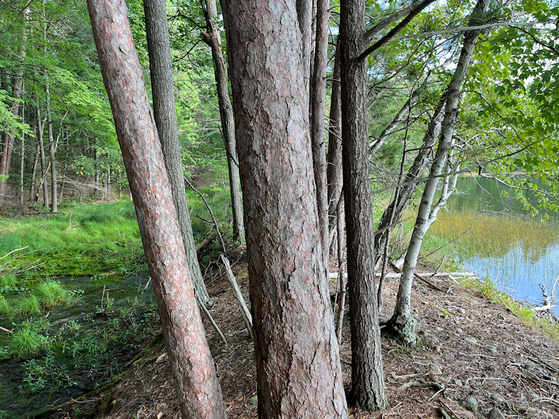
The root structures of these things are said to be horribly complex, and when you stick a bunch of them together into a serried parade, you've probably protected this little wetland from suburban development forever.
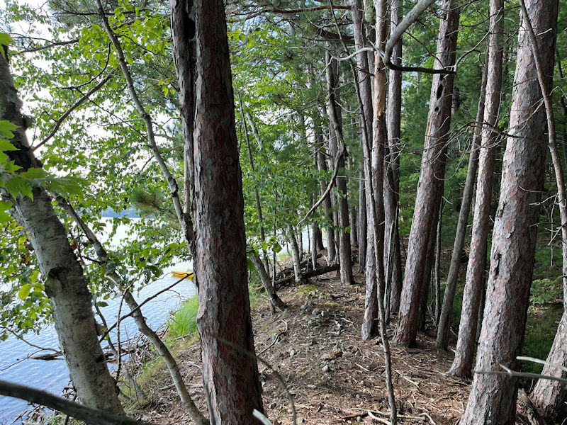
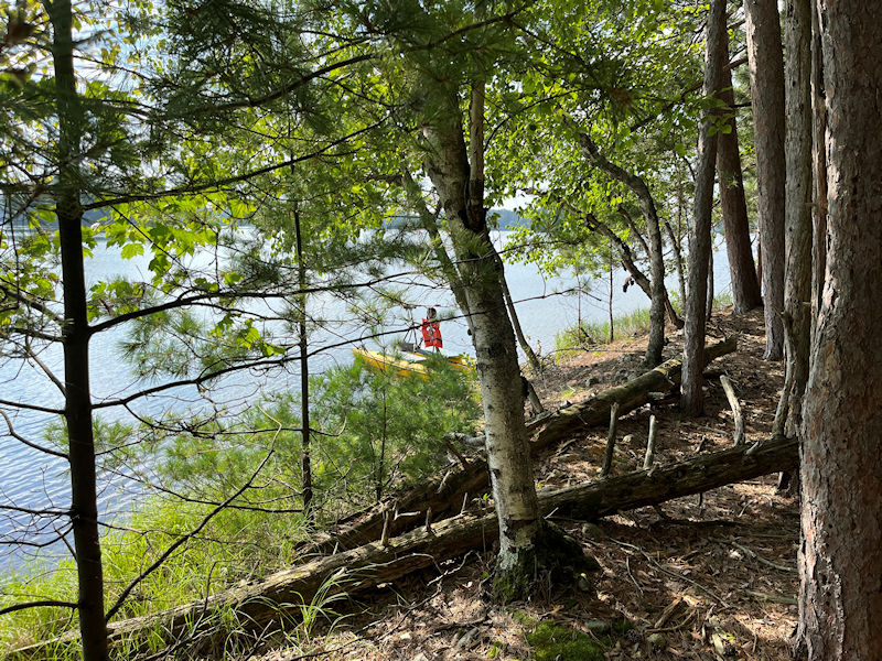
Back to the other end of it, just past the bike
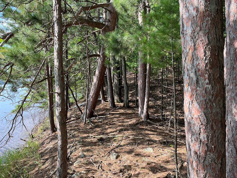
Here the headland rounding above the shoreline to the other formation starts up towards a path along the top of it to Rob & Elke's house . . .
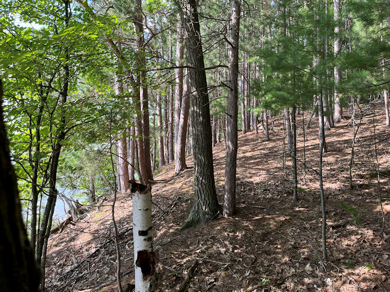
. . . viz., up there.

But this one's got this intriguing weed formation that comes back every summer and is laid out in a near-perfect square like a Roman legion's castrum.
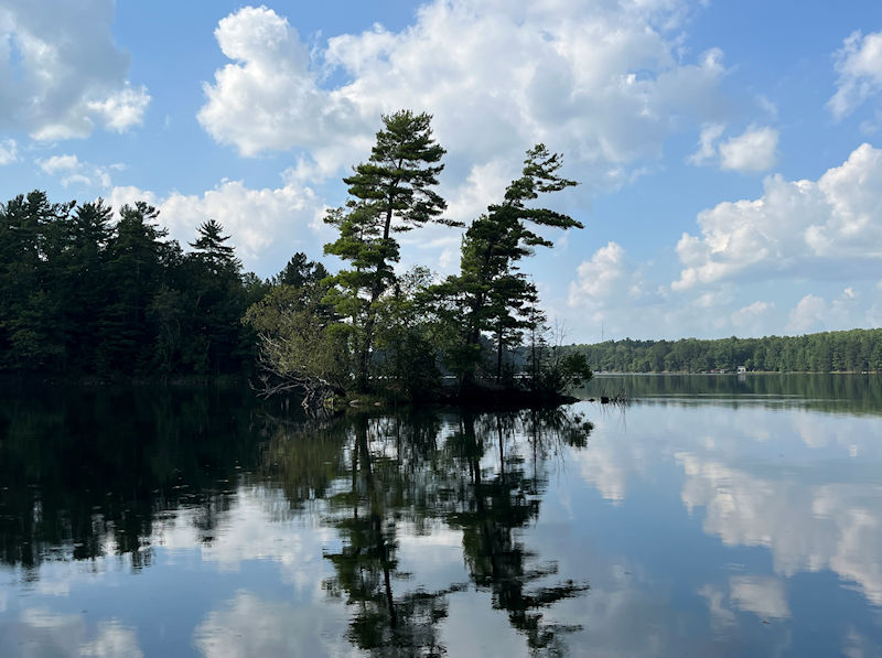
Leaving Sandy Beach Bay, another of Nature's Wonders (tiny Baby Leigh island)
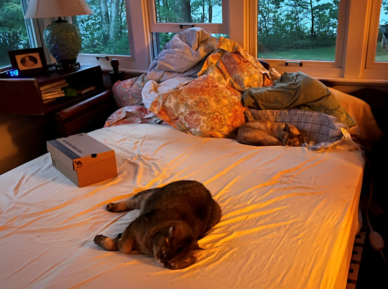
There must have been an argument of some kind. They'll be snuggling again tomorrow.
A quick tour round the west side of the upper lake
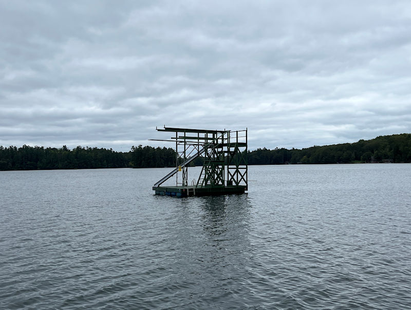
On 28 August 2024, in the providential absence of any major deadlines to be met, we've decided to creep pedalwise down the west side of the upper lake and memorialize some of the homes and second homes of our neighbors, almost all of whom we've never met.
That's the diving platform that's been carted out every summer for many years, off Point o' Pines, the locus of the other branch of Kristin's clan.
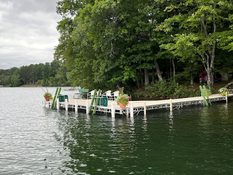
The floral-festooned main dock of Point o' Pines, and . . .
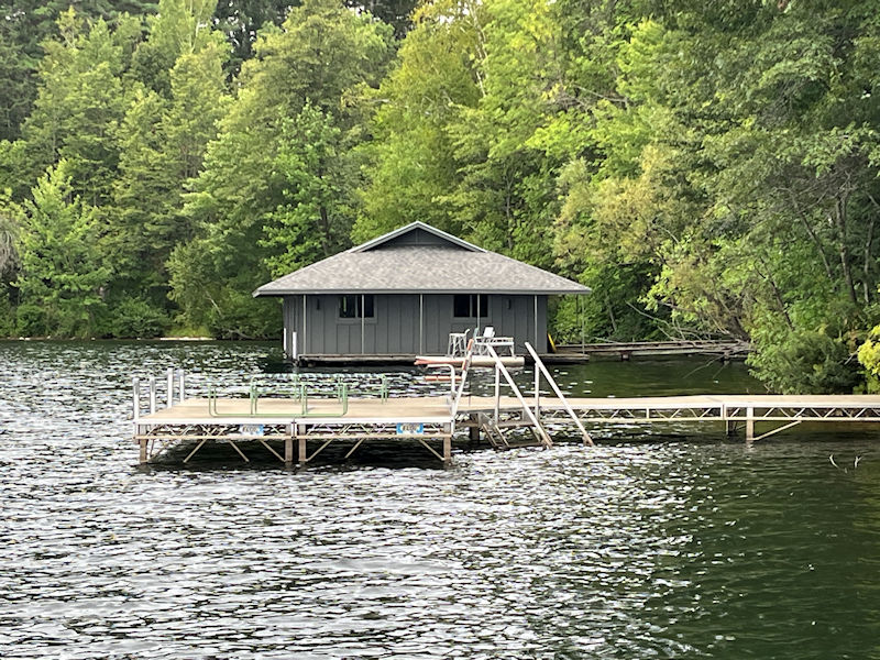
. . . just round the corner, another dock and the venerable boathouse (both #1 on the map).
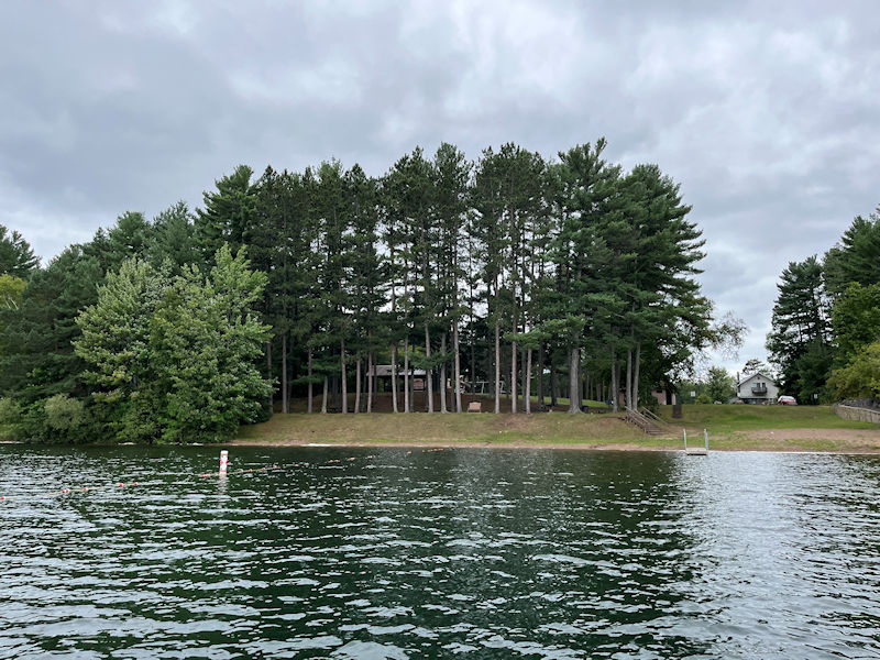
Moving south, that's the public landing, with a watery square blocked for kids' swimming, and a put-in ramp off to the right.

A cantilevered dock, not something commonly seen (#84; the large house is at #83)
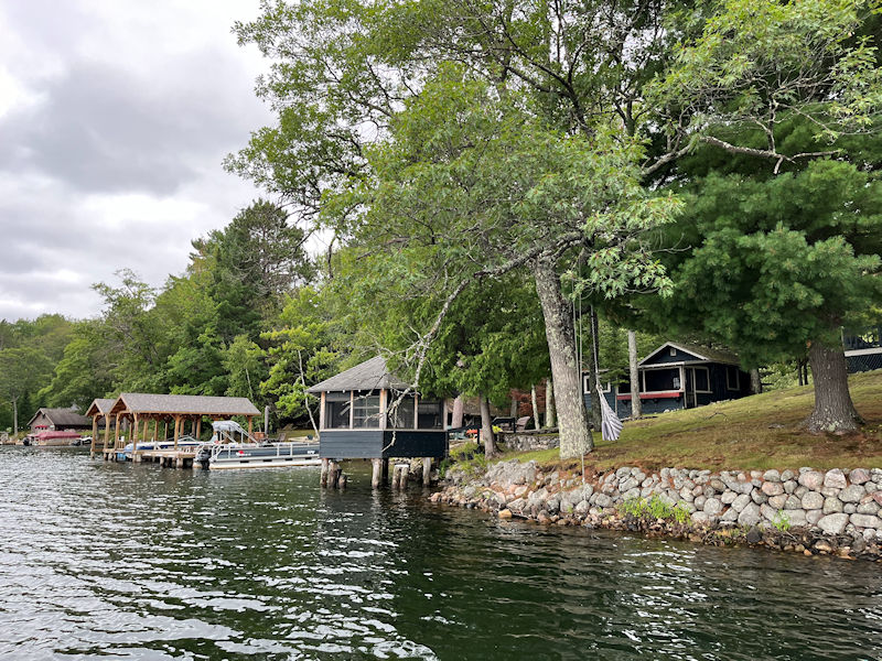
A vast array of shore embellishments, overseen by . . .
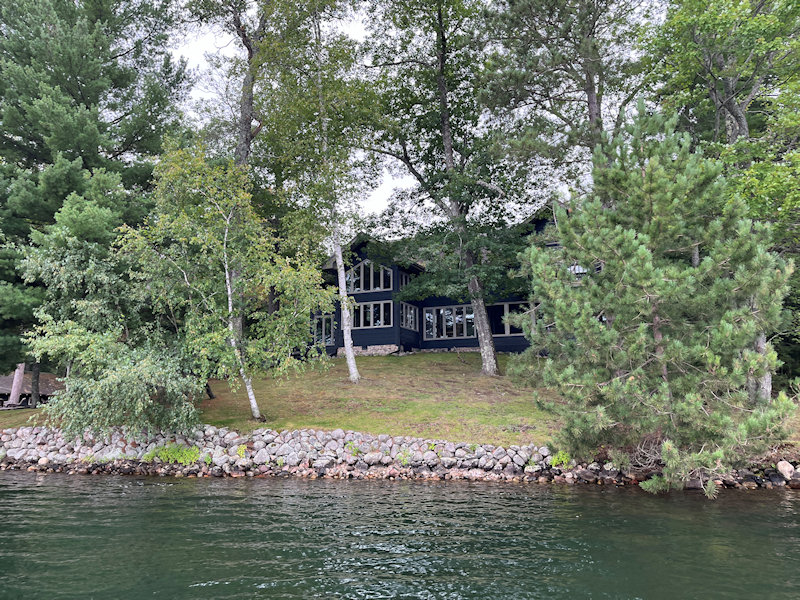
. . . the master house (#83)
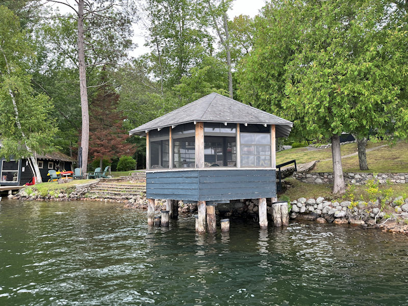
A bit of a relic, one would have thought -- never seen anyone actually trying to get into it.
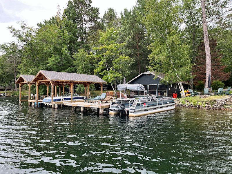
Not when they've got all of these fancy facilities

A little farther along, and . . .
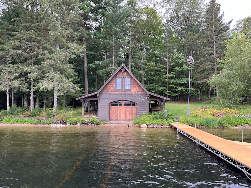
. . . then the boathouse at the last house (that house is disguised by rampant foliage up the hill to the right), just before we reach the little promontory that leads out to Ryden's or Beaver Island.
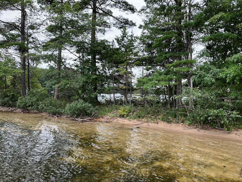
With the southern part of the lake peeking through
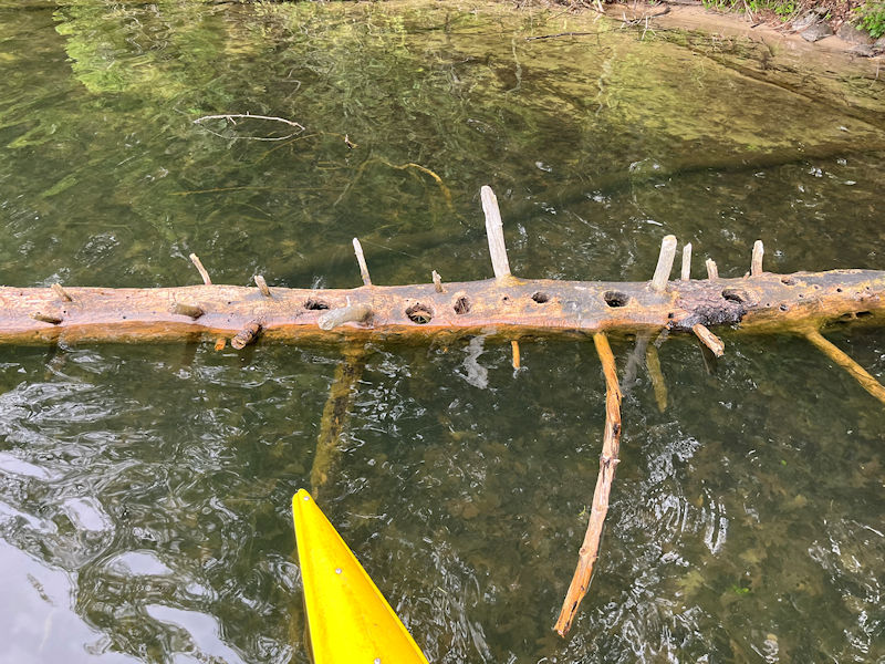
That one's suffered a long and painful life, and still can't find a place to rest.
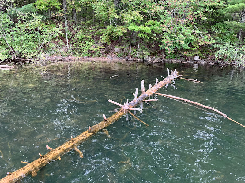
Neither can that poor thing.
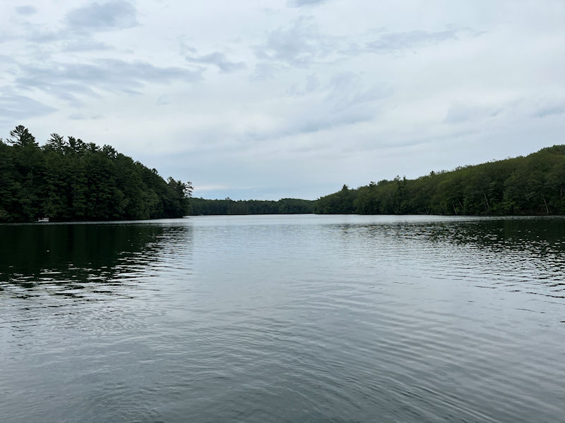
Crossing now the long connector between the northern and southern ends of the lake
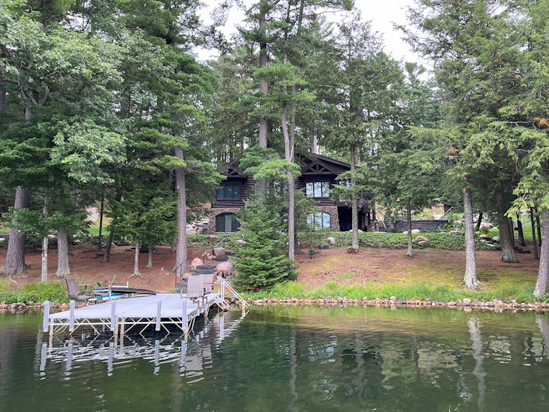
A splendid sort of house, great for parties (#58 on the map)
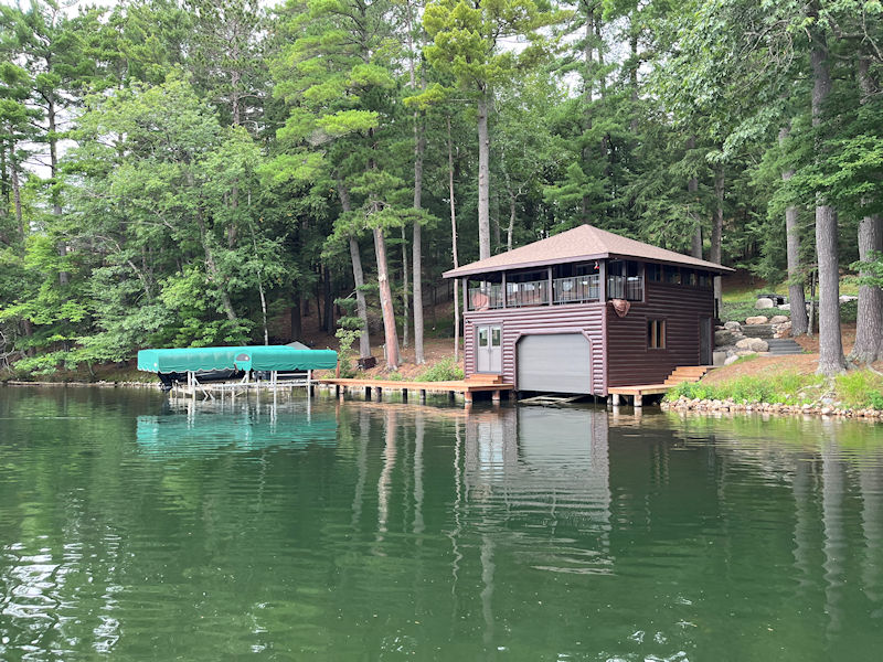
The boathouse of #57, and . . .

. . . the mansion with the copper roofs (#56)
And back to a more modest cottage with character (#12)
The Lake in the Wisconsin Northwoods
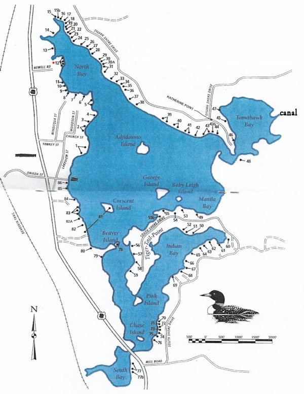
Mussent Point is at no. 12.
Next up: Now for the Pottawattomie 'Kettle Trail'


 Dwight Peck's personal website


