You may not find this terribly rewarding unless you're included here, so this is a good time for casual and random browsers to turn back before they get too caught up in the sweep and majesty of the proceedings and can't let go.
A fine day, time for a scenic walk, not too far from our 'South Beach' home away from home
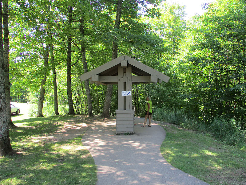
This is the roadside park and entrance to the Canyon Falls Trail, off US Hwy 41 some 10 miles south of L'Anse at the southern end of the Keweenaw Bay of Lake Superior, 5 August 2022.
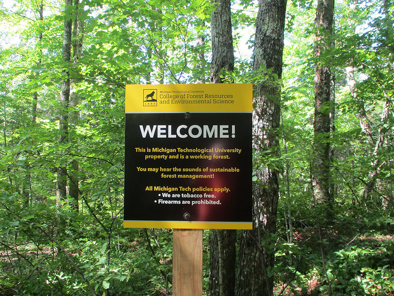
The trail has amenities: picnic benches at the carpark, boardwalks over the swampy parts approaching the river and falls, no smoking, no firearms. Good, we'll give it a try.

We start out at a brisk pace, eager for some not-too-taxing fun here in the Sturgeon River Wilderness.

Ah, boardwalks over the swampy bits, many thanks. (And thanks to Kristin for packing in our lunch.)
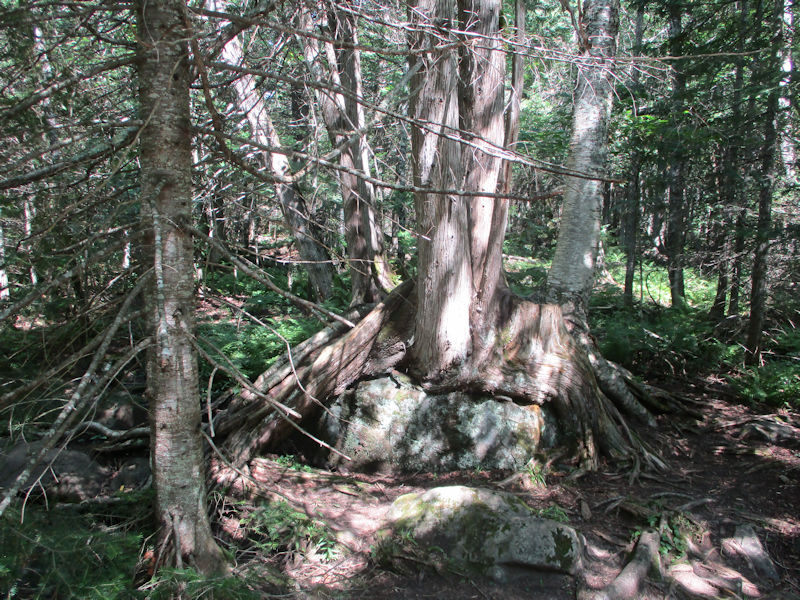
There are lots of interesting things to see along the way.

It's so easy to become inspired by some of nature's grotesque deformities.

Bingo, we've reached the Sturgeon River (without which the Falls would not be worth our time). The Sturgeon River is a 106-mile (171km) windy thing that rose up not far east of here, will pass through our little gorge and proceed southwest for a while, then bolt northward past Sturgeon Falls and Prickett Lake, meanderingly still farther northward into Portage Lake, which then wanders past justly-famous Houghton, Michigan, and dumps into Lake Superior, inevitably.

-- Look over there. Quick.
-- What?
-- You missed it.

About the Sturgeon River, though, don't be misled. There is a multiplicity of Sturgeon Rivers in Michigan. This is not the one in Hiawatha National Forest -- this is the one Wikipedia calls 'Sturgeon River (Houghton County, Michigan)', though we're actually in Baraga County at the moment. The 'Sturgeon' part must have to do with fish.

This first part is called 'the tourist trail', fair enough. What will the next part be called?
(-- Don't drop the lunch!)

Reddish water, don't drink it, it's probably all that old iron they were always going on about. Or tannin from the trees. Or . . . maybe . . . maybe we don't know.

An interesting little river it is, too; not very exciting, but pretty.

One does love a well-made boardwalk, especially as we grow older.

We won't disturb this gentleman, though he hasn't been moving at all.
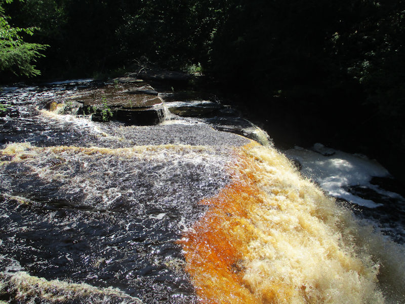
Well, now we're talking.

This lot was worth the effort. We should have mentioned that this site, right here, is prized by some people addicted to the sport of 'canyon jumping'; there are even reputed to be some short lengths of ladder in the rock for help in getting back up.
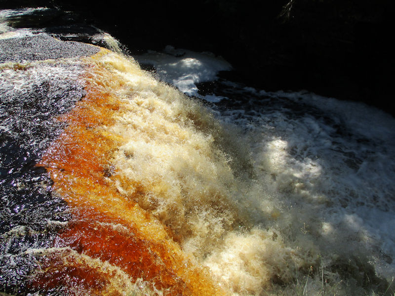
The main waterfall is said to be about 30 feet high, and the gorge apparently becomes more serious about here.

In fact, a Google search reveals that canyon-jumping here, especially amongst young males of roughly college age, not infrequently leads to fatalities. Apparently, some people whack their heads, whilst others just get carried away by the current. Just saying.
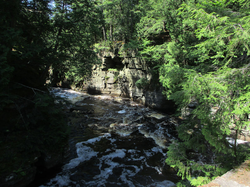
A good cliff-jumping place can look rather inviting, though.
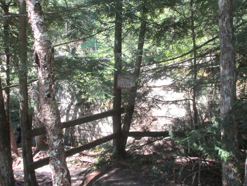
And here, at the Canyon Falls Lookout, we discover that the 'Trail Ends'. Strictly speaking, that's not true: 'Websites listing the park describe the tourist trail, and warn there is an older trail that has no railings in places along the canyon,' Source).
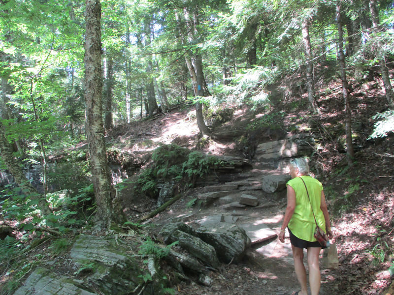
That 'older trail' would be over there, then. Let's see.
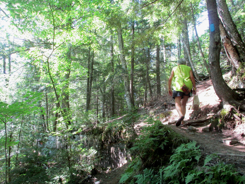
Leaders lead. Followers follow. That's just another part of nature.

It's a lovely trail -- firm but softish, perfect for running (those were the days).
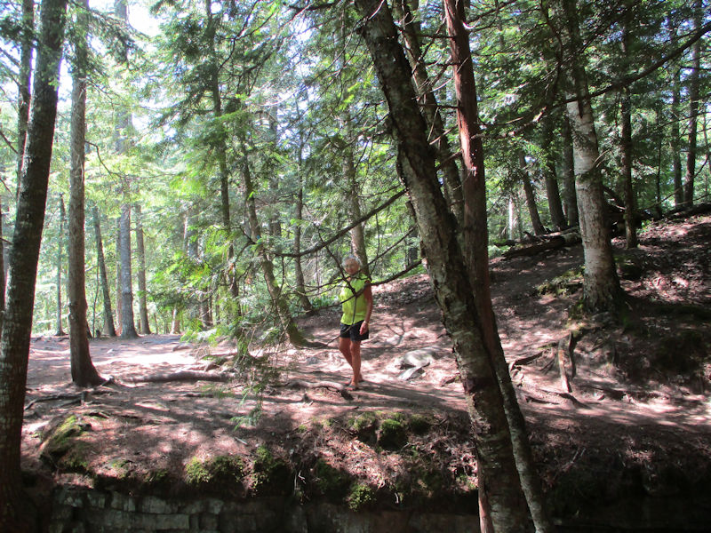
-- Straggling again, are you?
-- Coming!
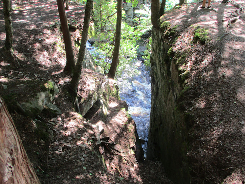
Whoops. Don't look down.
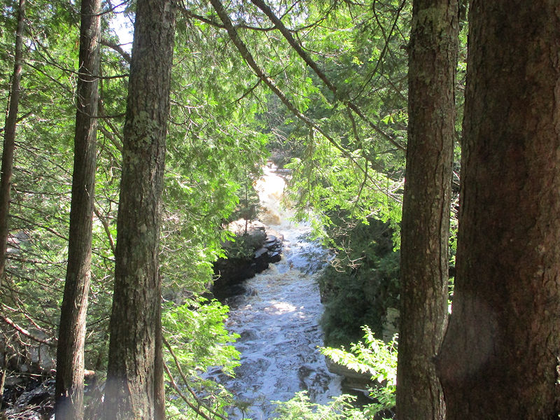
Fine gorge you've got there, UP of Michigan!
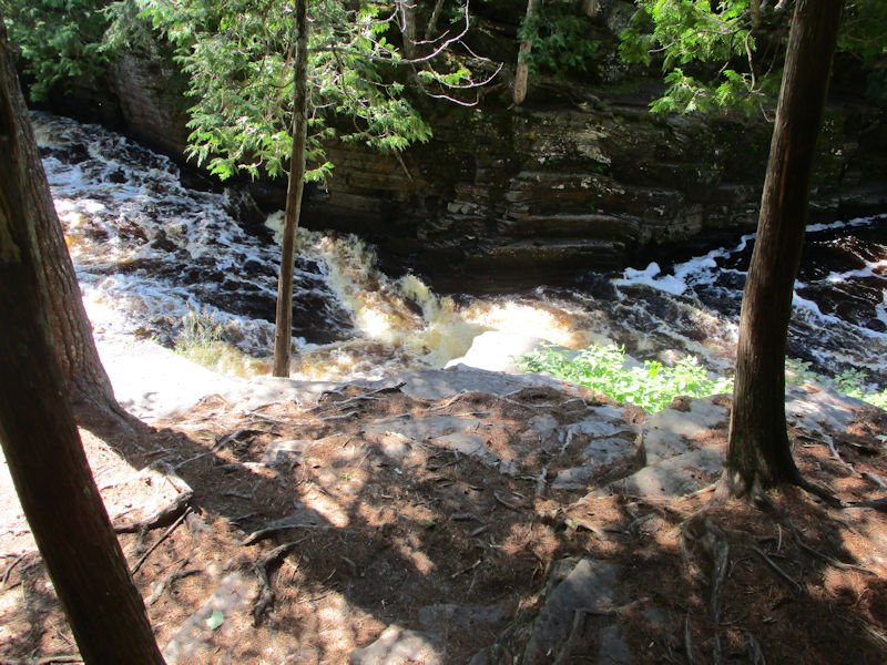
The site descriptions also mentioned something about kayaking. We must have read that wrong.
This, one is led to believe, is where we stopped to devour our lunch, with ungraceful haste.

Canyon Falls / upper Sturgeon River scenes
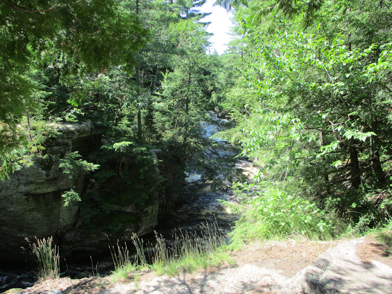
This is called, by the way, the 'Grand Canyon of the UP', and rightly so. Also, in fact, 'Michigan's Grand Canyon'. Basically the same concept.

Another one of those unsettling peeks down between two big rocky buttresses.
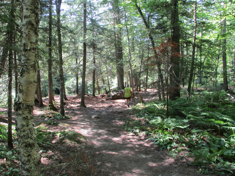
No, wait, in this photo, Kristin's still carrying our lunch bag.

Perhaps this is the very spot where we et our lunch.
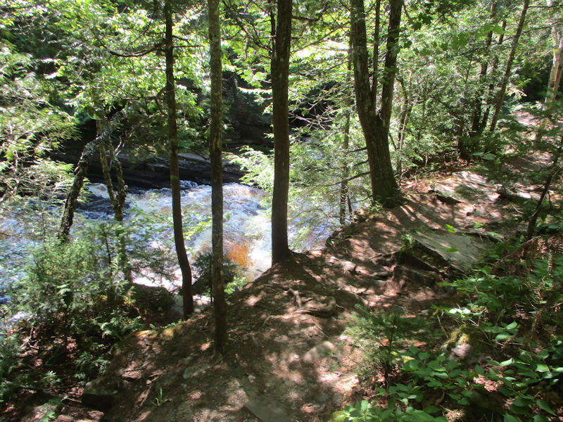
What?! No railings? We'll take this up with the Tourist Board.
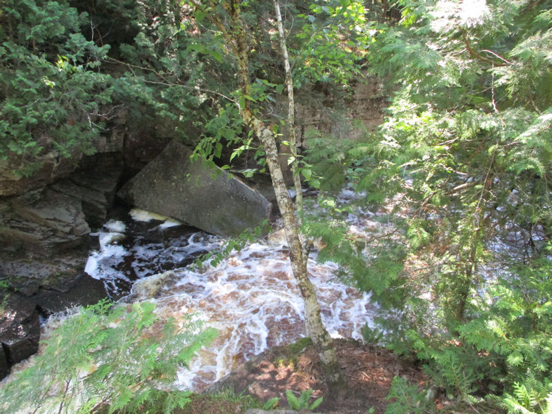
Slate slabs all over the shop floor.

This post-glacial rock is beautiful in its own way. Supposedly, it's still bouncing back up after the last Ice Age. Hmmm.


It would be interesting to know how that thing got here. A late Ice Age souvenir?


At some point we'll need to begin thinking about turning back, and we're starting to run out of the truly serious gorge-ness.
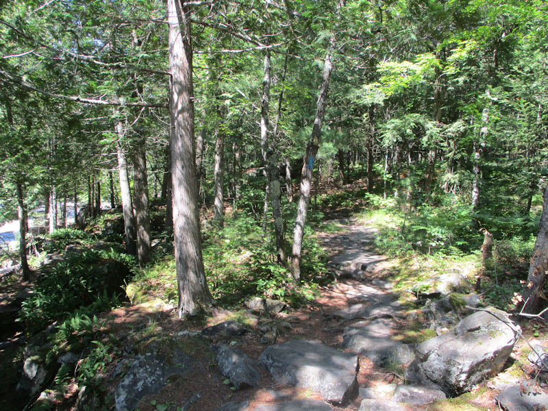
We continue following the blue markers for a ways farther, but . . .

. . . after a while, the topography does seem to be flattening out. (Not much 'canyon jumping' here.)
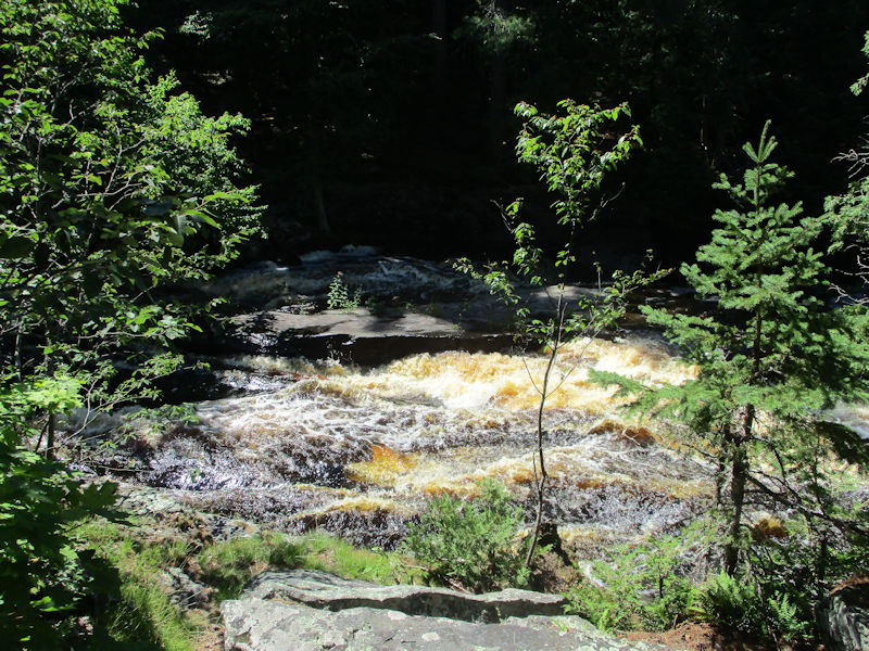
Though it's still lively and splashy and twisty and aesthetically pleasing.

It's so much fun, it's hard to make ourselves decide to turn back.
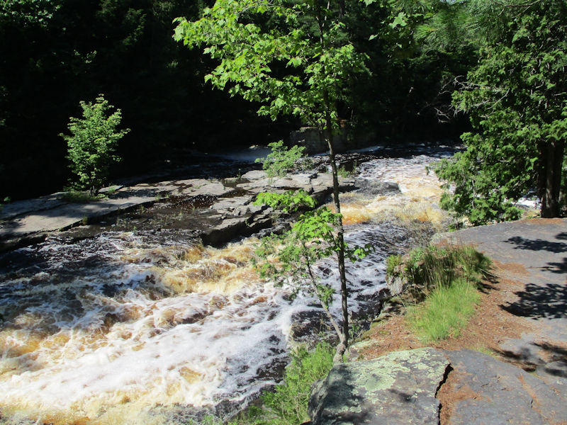
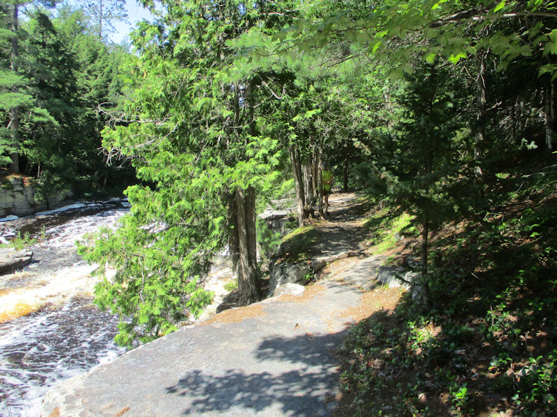
More inspiring scenes of erosive nature

But now we really should be starting back.

What happened to that lunch bag? Not in the river, surely.

The slate slabs are making their own decisions about which way the rapids will splash their way through.


A blue blaze on the tree . . . so we're still on the path, good.

(((The empty lunch bag is in my little backpack. No worries.)))

Back to the carpark, and then north on US 41.
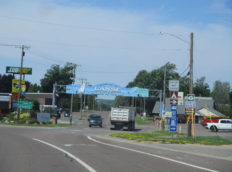
Passing L'Anse [Fr: 'the cove'], the 'Village by the Bay', the L'Anse Bay specifically, except that L'Anse Bay is actually just a subset of the Keweenaw Bay, at its southern end, all on the eastern side of the Keweenaw Peninsula.
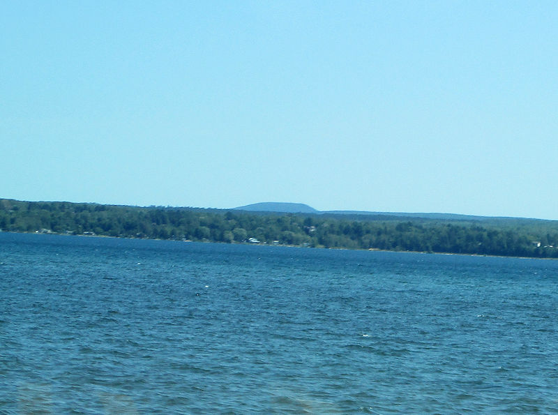
As we hurtle up the western side of L'Anse Bay towards our turning west at Baraga, there is some speculation here that that might just be Mt Arvon, at 603m (1979') the highest point in the state of Michigan. Climbing it does not require supplemental oxygen.
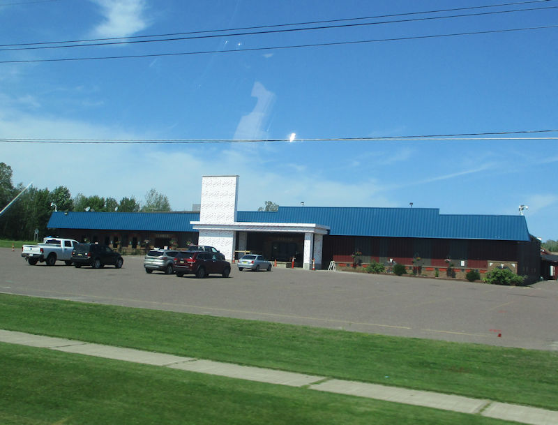
From Baraga, we've turned onto extremely rural Rte 38, bound 40 miles to Ontonagon, and here we're passing the Ojibwa Casinos on Baraga's outskirts.
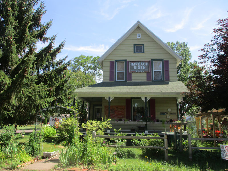
And back in Ontonagon, we have to pause again to admire the obsessive handiwork on the city's most dedicated 'virtue signaler' . . .
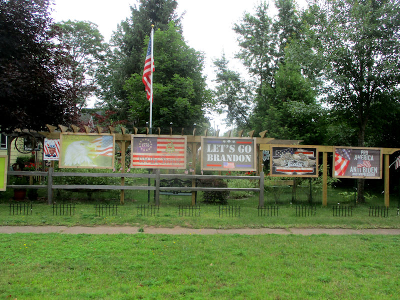
. . . demonstrating the superiority of his political acumen and moral profundity.

What's never clear is whether citizens driving by notice all his semi-senseless signs and say 'You know what? I'll bet that guy's right. Where can I get some neat signs like those?'
(Or do they just think it's funny.)

From the 'South Beach' cottage: the brown line near the horizon is mud from the outflow of the Ontonagon River blowing eastward around the point.

Choupette is relaxing scowlingly out of the sun.

Choupette notices our camera, and scowls.

Apparently wondering how she got in there.

So Choupette is having a nice stretch, and . . .
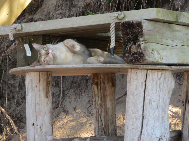
. . . getting back to her relaxing.
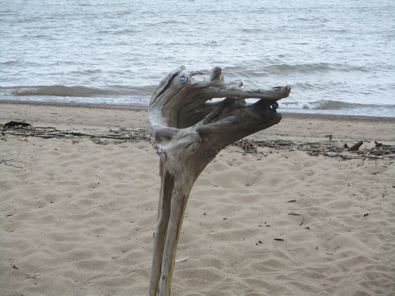
We're leaving the cottages now, and the kids' artworks, and . . .
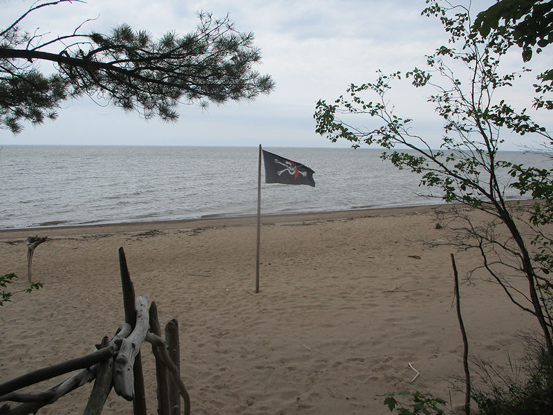
. . . their flag.

On the way back south, Kristin is checking in at 'Far Shores' to report on its present status to relatives.
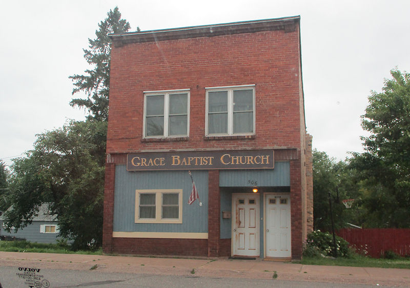
Passing back through Wakefield, Michigan, and soon home.
Next page: Various August views of the Lake (with cats)
 Dwight Peck's personal website


