You may not find this terribly rewarding unless you're included here, so this is a good time for casual and random browsers to turn back before they get too caught up in the sweep and majesty of the proceedings and can't let go.
The Pottawattomie 'Anderson Trail' for a change
and some other odds and ends, early September 2025
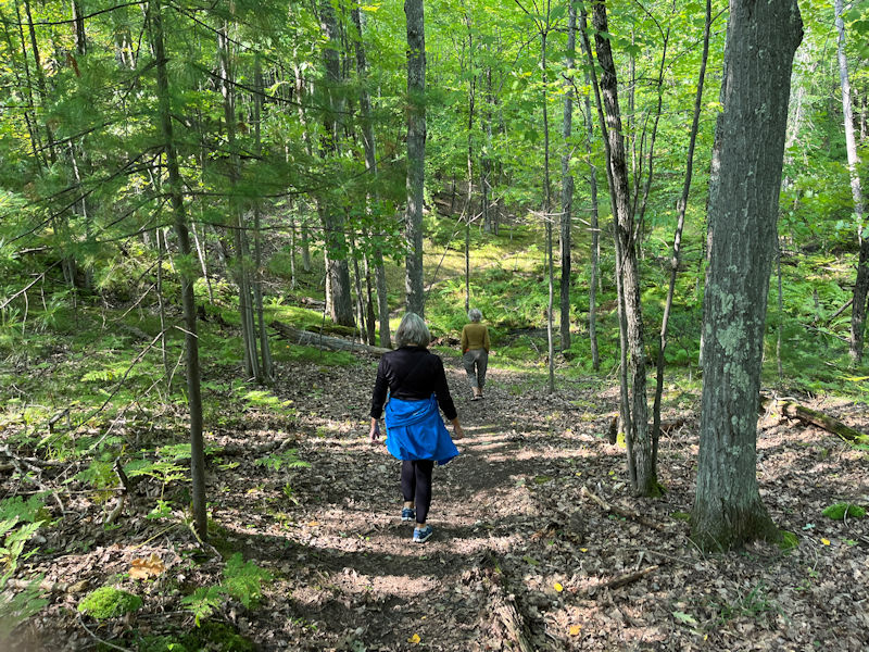
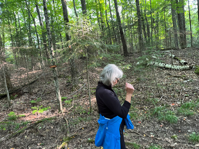
We're off on the Pottawattomie Canal Trail, 8 September 2025, beginning near the road's culvert between the canal mid-lake and the second tranche of it into the next lake. This trail runs north for a mile mainly up a long ridge to its trailhead, where there is a generous supply of further long and short trails up near the Camp Minocqua Road (trail map below).
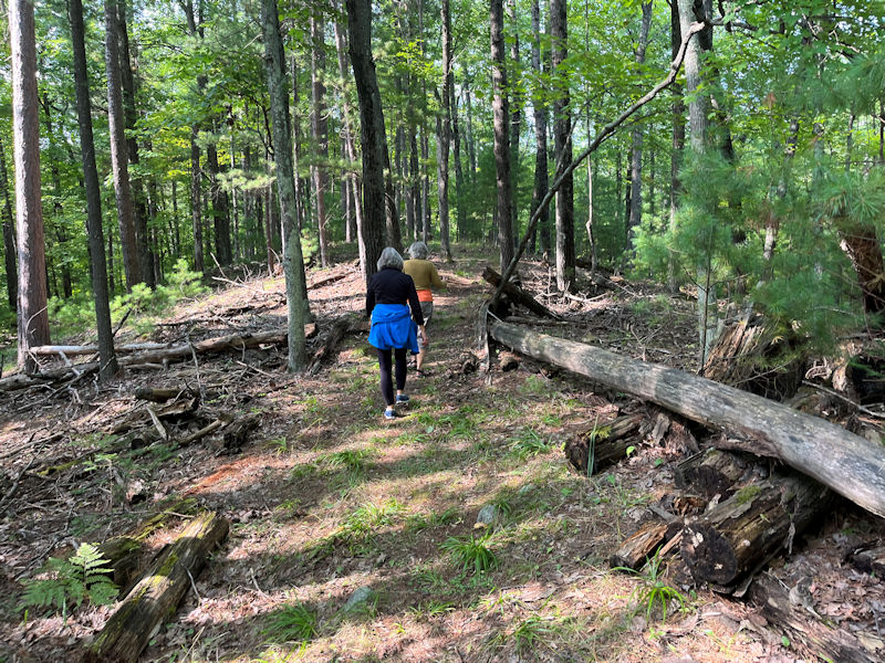
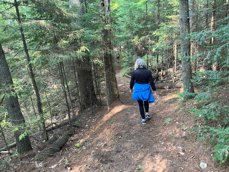
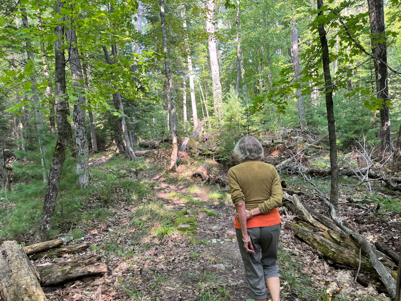
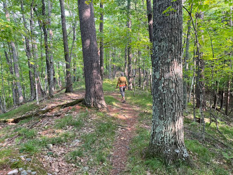
Kristin as usual wastes no time in getting an energetic start, and our friend Kim Schmutzler has come along, with our usual photographer bringing up the rear to record the entire adventure.
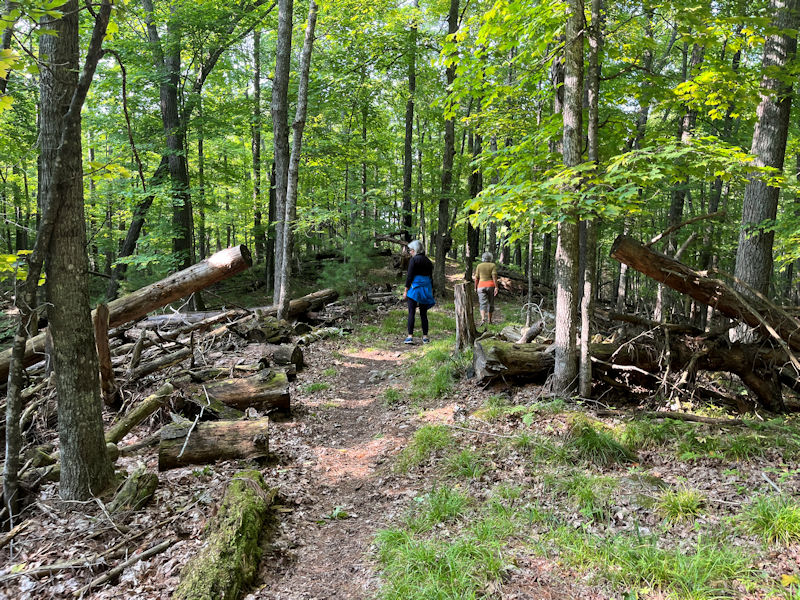
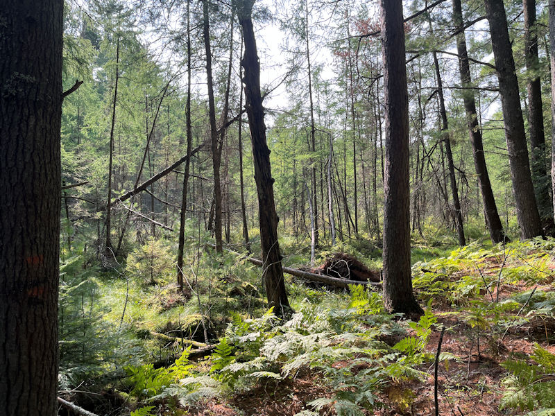
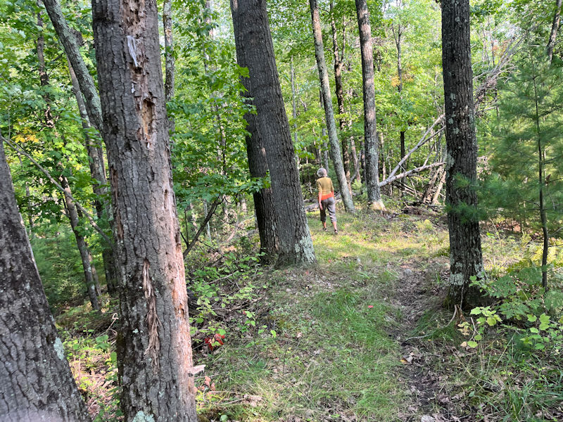
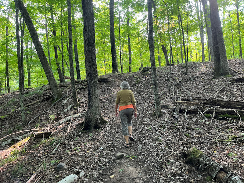
Proceeding from the initial disgusting swamp up onto the ridge that takes us more than halfway to the far trailhead, we have . . .
. . . drops of 20 metres or more on either side as we progress.
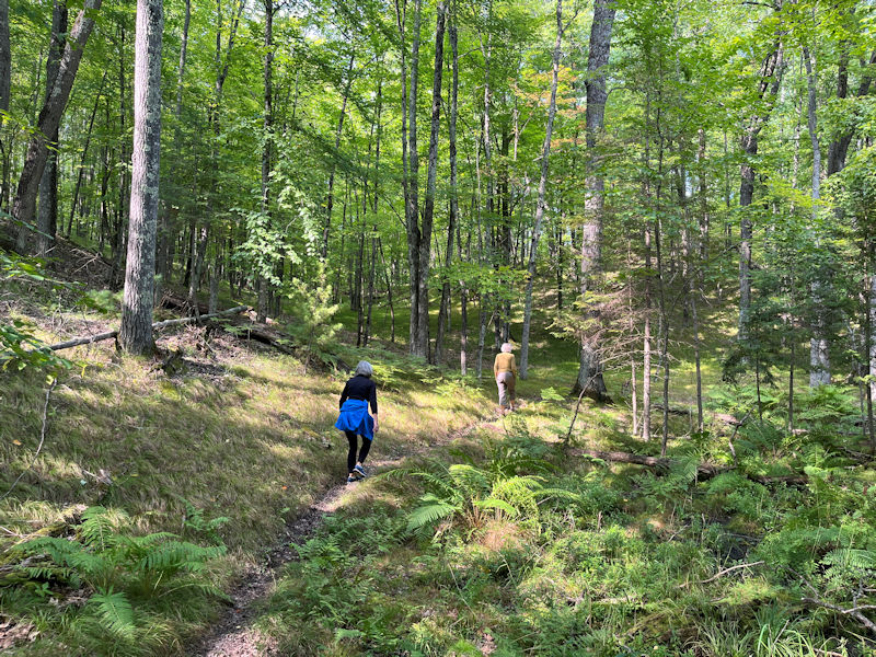
The last time we came along here, we had to idle about on the trail for 10 minutes whilst Kristin blitzed on down the hill to hack off a bucketload of chicken-of-the-woods mushrooms, and then bustle back up again.
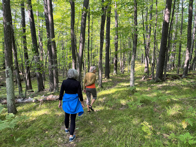
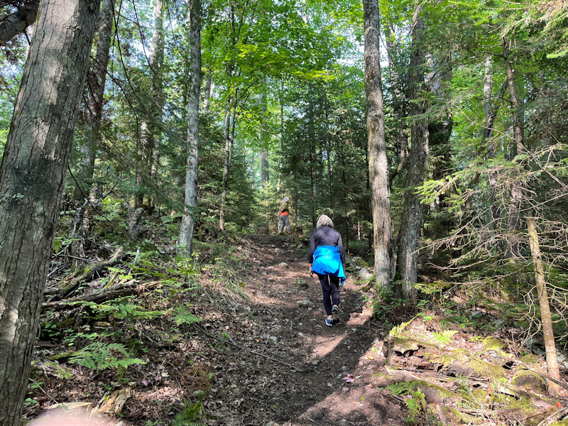
Our photographer seems to be letting the team down a bit, and may require a word in his ear.
That's better.
We don't know who it is that maintains all these trails, but they're good at it.
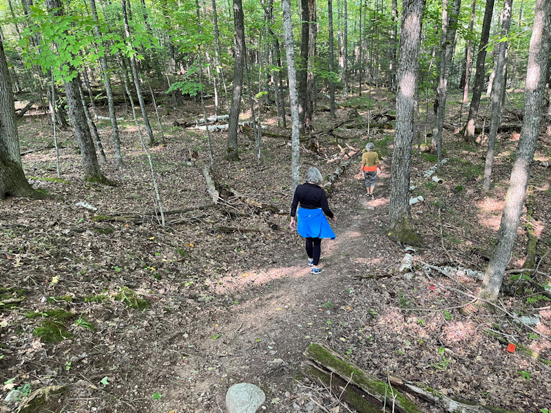
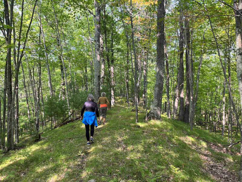
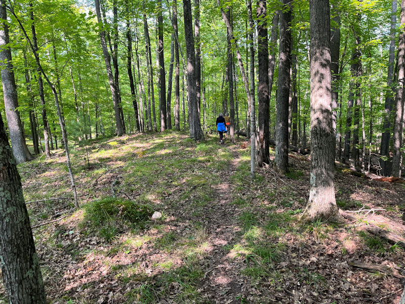
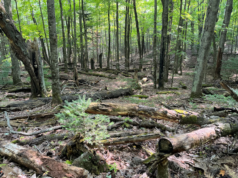
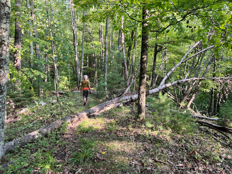
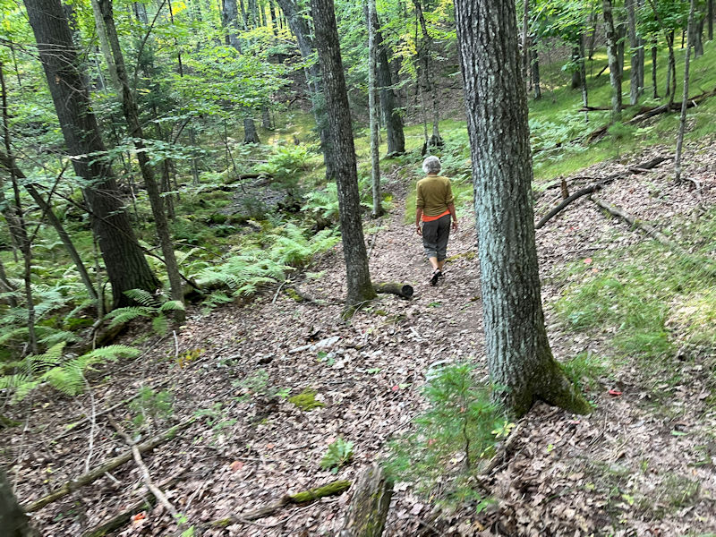
We're reaching the end of the ridge or moraine or whatever it is, and now we'll be wandering all round amongst of great lot of forest carnage.
The colorful little trailmarkers can be very useful, to help us . . .
. . . keep from wandering off at random.
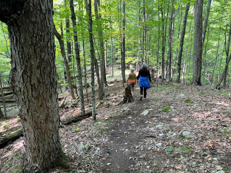
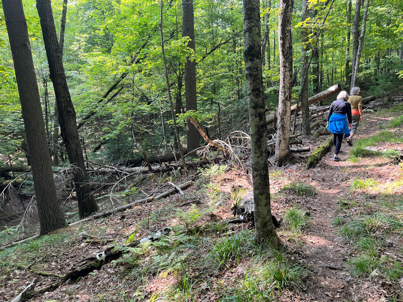
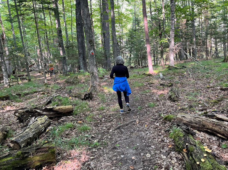
There seem to be more and more of these downhills, and of . . .
. . . these uphills, too.
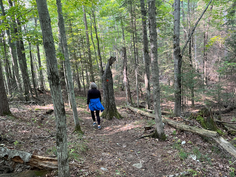
'Stick to the path please.'
We should be nearing the 'Canal Trailhead' soon, and, indeed . . .
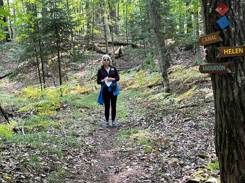
. . . here we are.
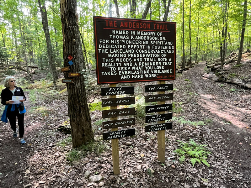
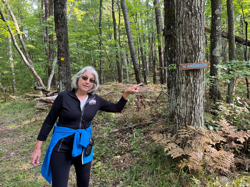
That's the trailhead itself, with its memorial signposting (dated to 1991), with a pointer to the Anderson Trail running off to the north, and just nearby . . .
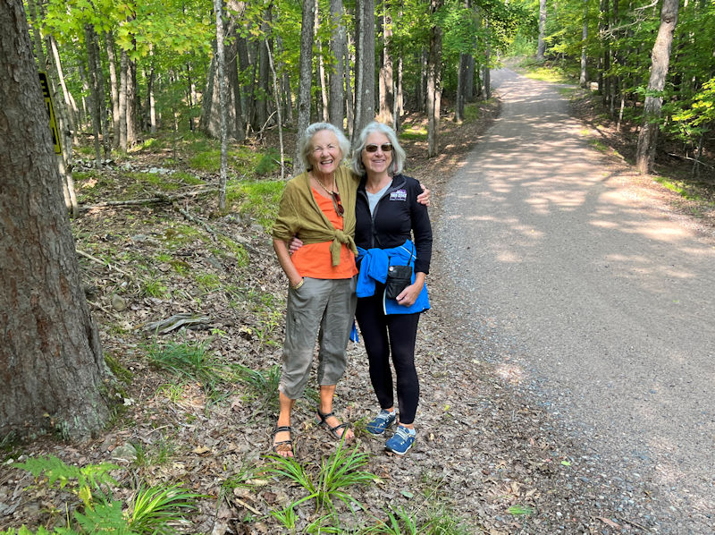
. . . the deadend McCoy Road (with two of our participants).
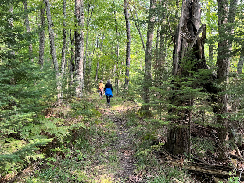
But instead of just retracing our steps back south, Kim seriously wishes to explore the Anderson Trail, so . . .
. . . first we have to set out on the Helen Trail northwest to find a liaison to come back down on the Anderson. We're confident that it can be done.
Though we seem to be Helen Trailing for quite a long time. We could end up in Minocqua at about 8 pm.
But we seem to have come across a short liaison of sorts, and, with any luck, this will be the Anderson Trail, back to . . .
. . . the Canal Trail. Oh thank goodness!
Now comes the retracing our steps part, but at least this is all recognizable.
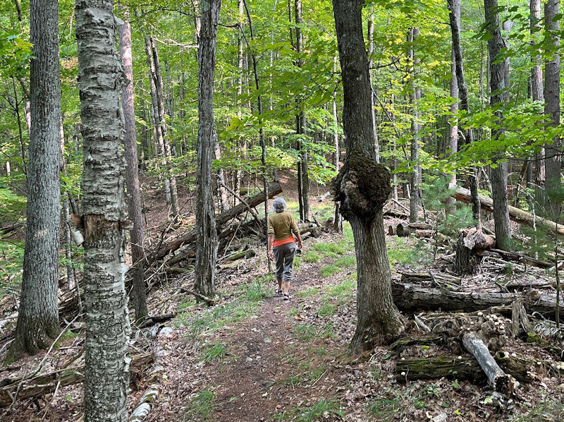
We even recall this prominent tree burl reminding us that even trees can get cancer, or something.
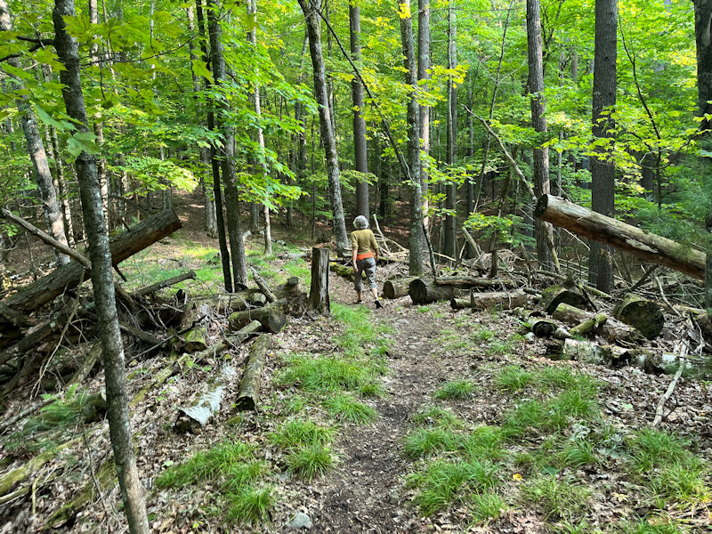
And there's that giant tree dump.
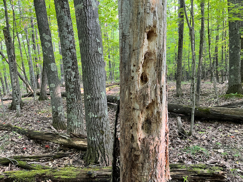
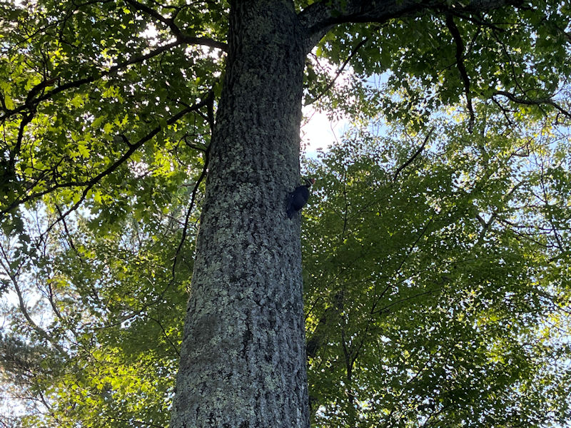
The woodpeckers have been heartily at work out here.
We're almost back to Kim's car on the road, once . . .
. . . we get past this vile swamp and up the other side. But, speaking of woodpeckers . . .
. . . here's what we've got going for us back on Mussent Point.
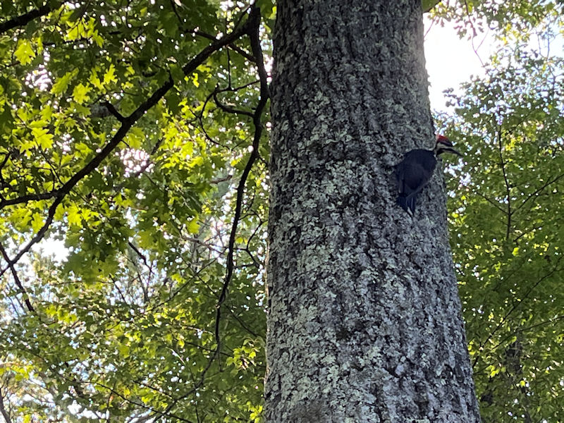
At this moment, there are four pileated woodpeckers working on four adjacent trees outside our bedroom.
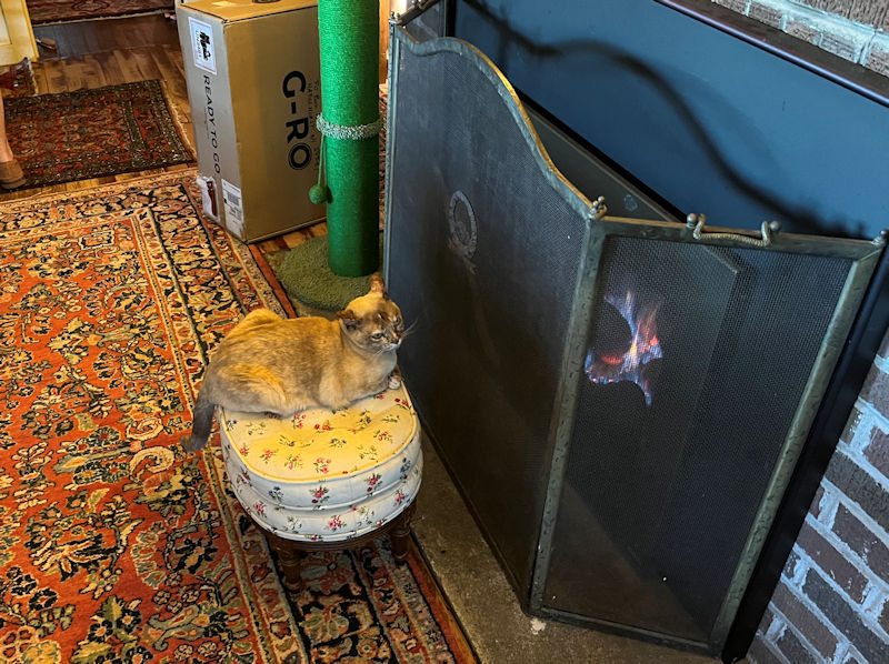
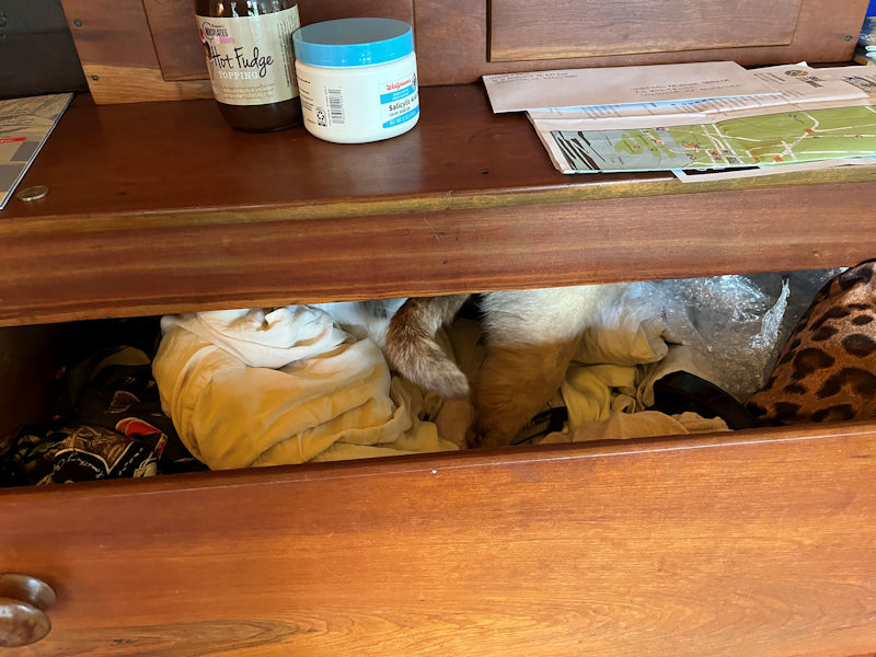
As midsummer declines into autumn, Choupette discovers the best place to locate herself.
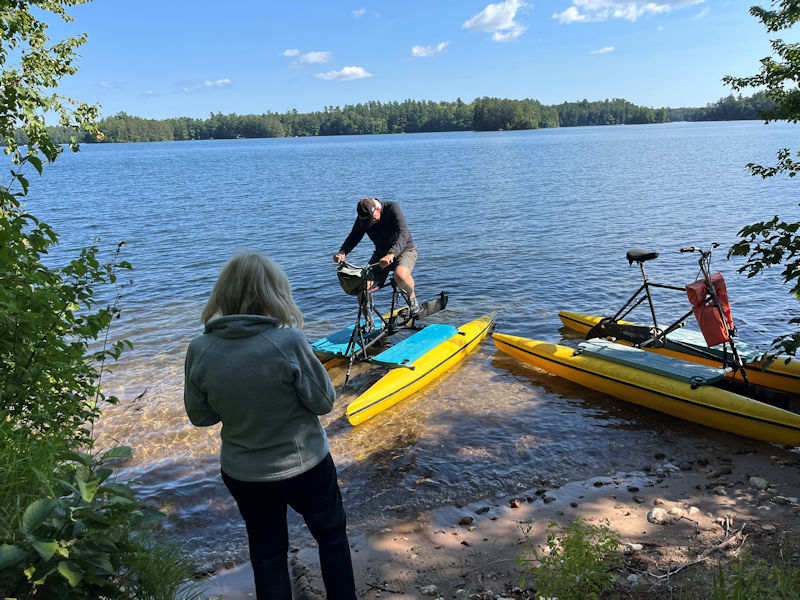
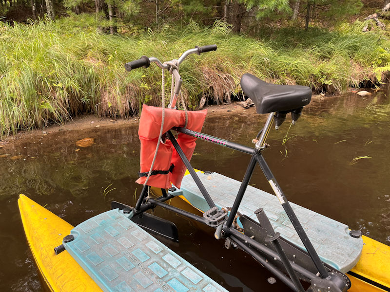
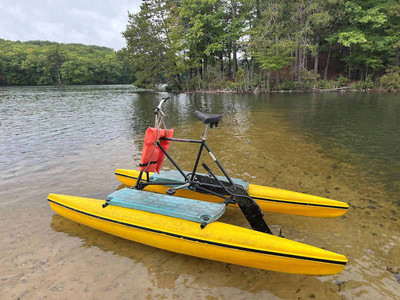
Oscar and Cathy are back up for the weekend, and Oscar is taking delivery on Cousin Rob's old hydrobike, generously gifted to him by Rob's wife Elke.
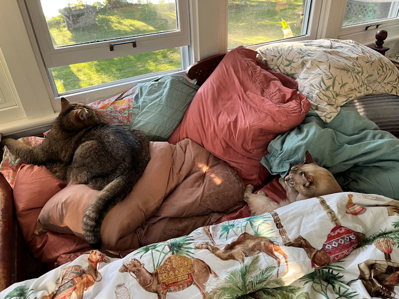
It's afternoon nap time.
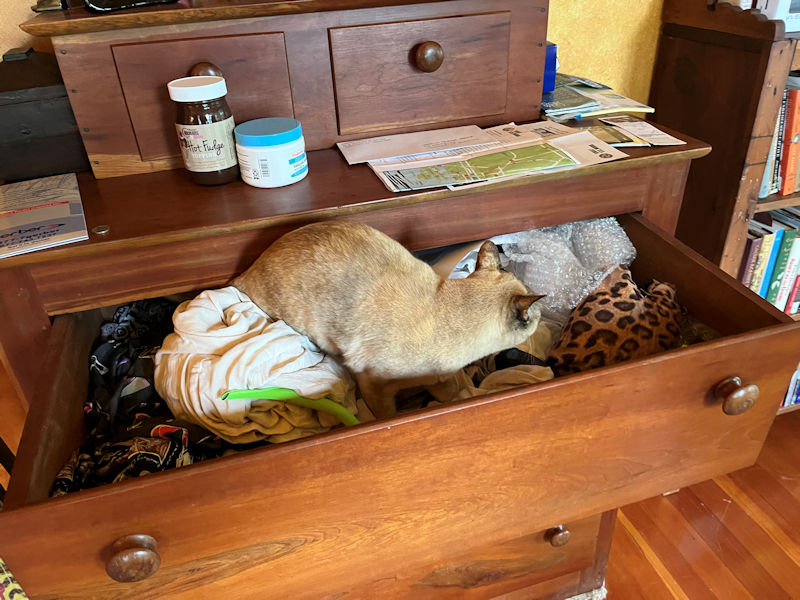
-- What's in here?
Don't get lost!
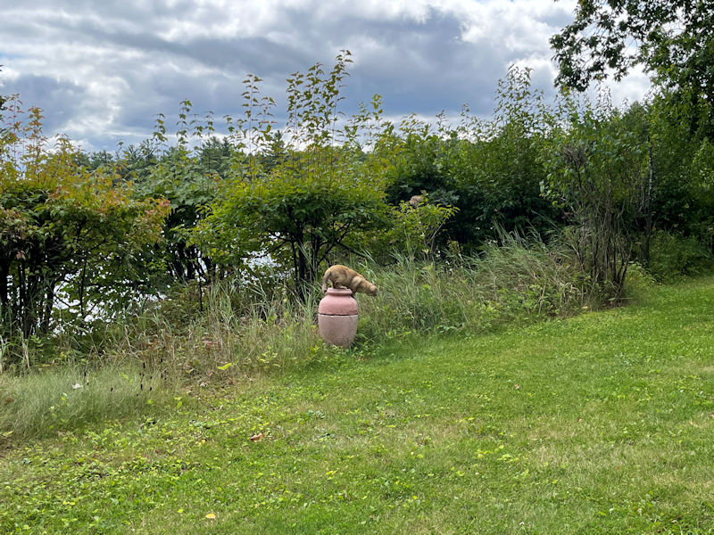
Preparing to leap
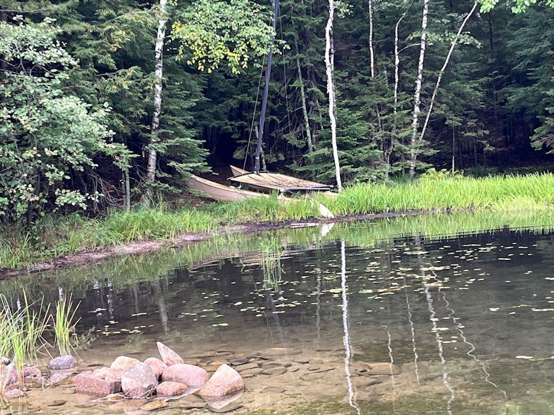
A sorry adventure at the canal
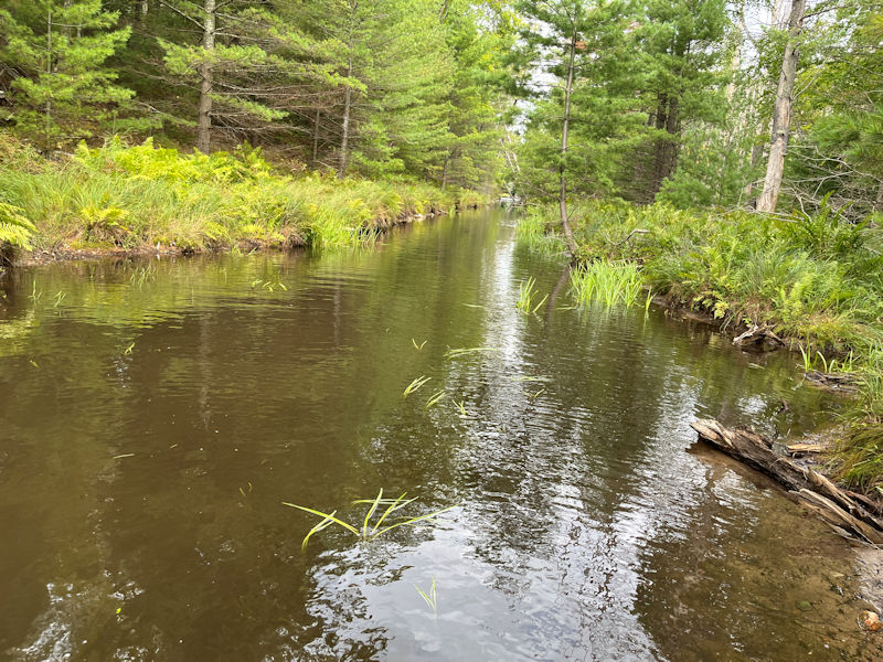
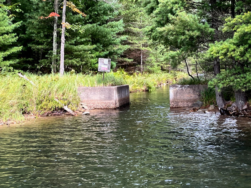
The second length of the canal, after the mid-lake, is sufficiently bunged up with detritus to prohibit hydrobiking until next summer, when (if possible) we'll try to clear out the worst of it. But the first tranche should still be fine . . .
. . . despite a good lot of refuse strewn all about even here at the entrance.
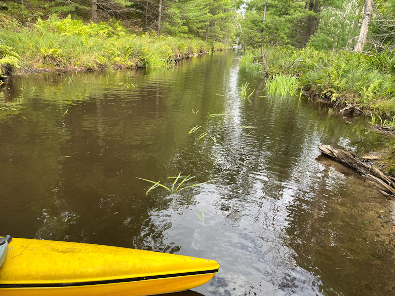
We've just got in and we're seriously stuck. The water level is lower and the water is opaque. We're trying to turn round and get out of here, but sadly we're getting more and more tangled up.
One does desperately hate to stand down in the canal muck, but 'needs must' ('when the canal insists'). We'll try to walk it back out.
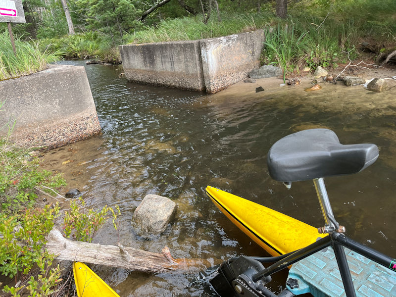
All very awkward but at least it's done.
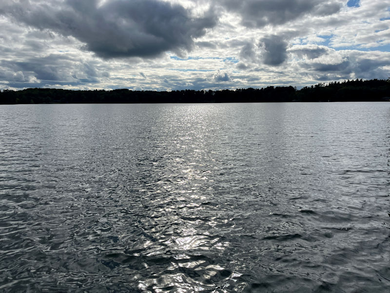
Late afternoon on a cloudy day
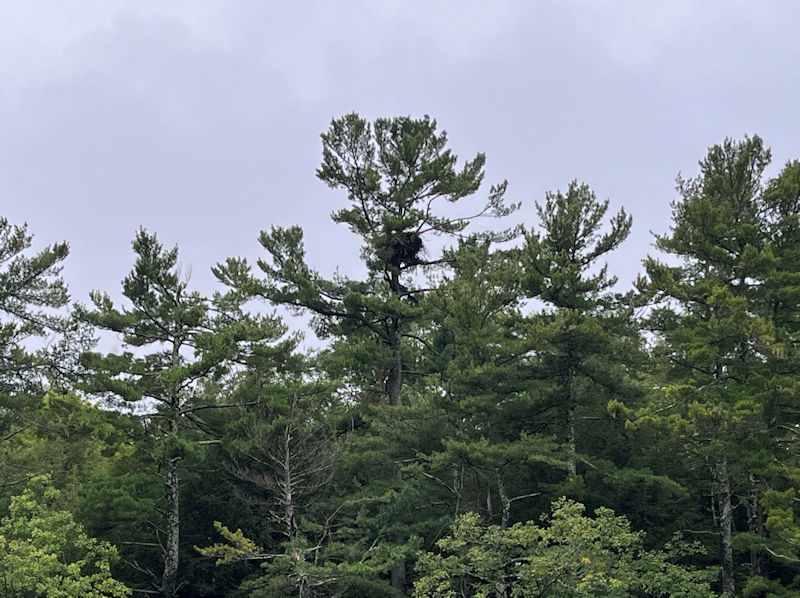
Today we're in the South Shore Drive's bay, checking out the newish eagles' nest. We heard loudish cheeping but nobody has stuck a head above the parapets yet.
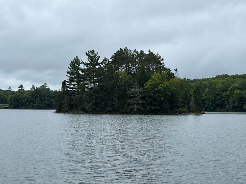
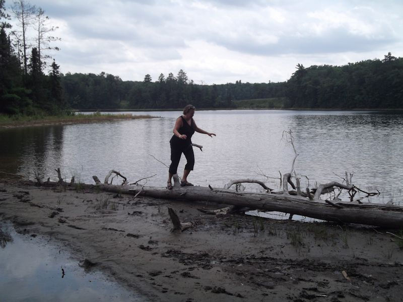
On the way back, we'll pause at Pink Island for a leg stretching.
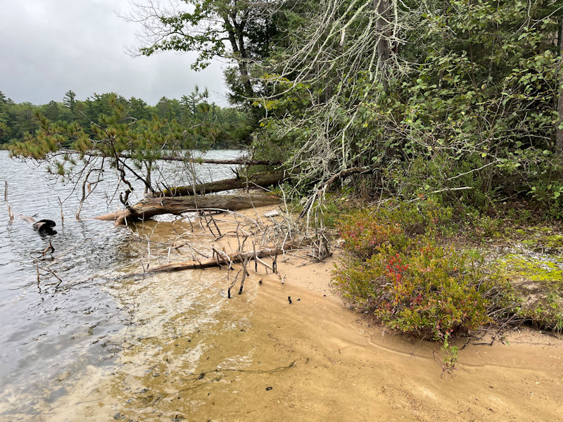
The whole tiny island is an impenetrable mess of crazed vegetation, but it's got a nice sandbar extending towards the Tigertail nearby.
Families sometimes, on fine days in the summer, draw up a pontoon boat here and turn the kids loose with a frisbee and a boombox, etc.
Kristin recalls waterskiing through that gap in the old days, and we witnessed an old hand take his pontoon boat through it just the other day.
But, in our first summer here, as Kristin was showing us round the lake, the water level was much lower then.
(Though it sorted itself out a few years later.)
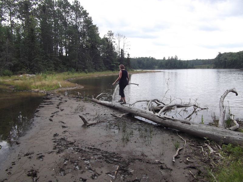
But at that time, 6 August 2010, walking from Tigertail out to Pink Island seemed like a fairly easy game.
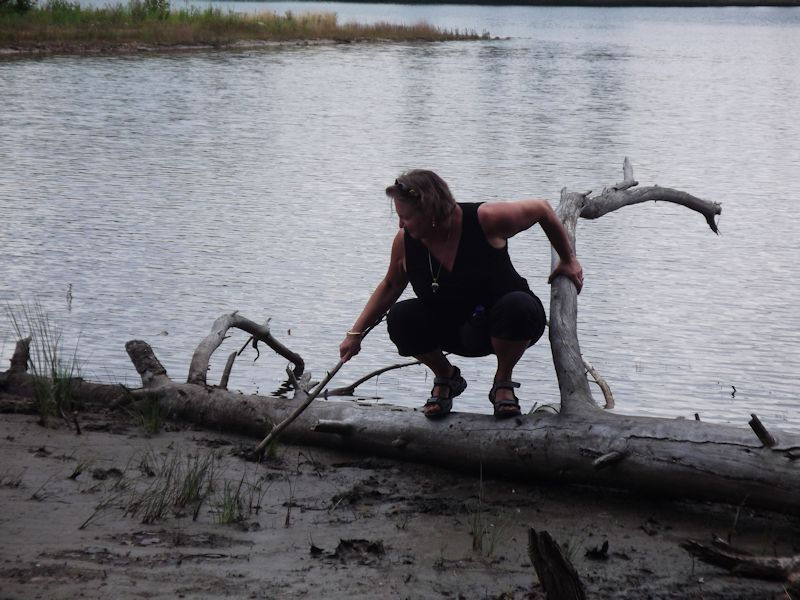
Except for the mud. And . . .
. . . getting back to terra firma.
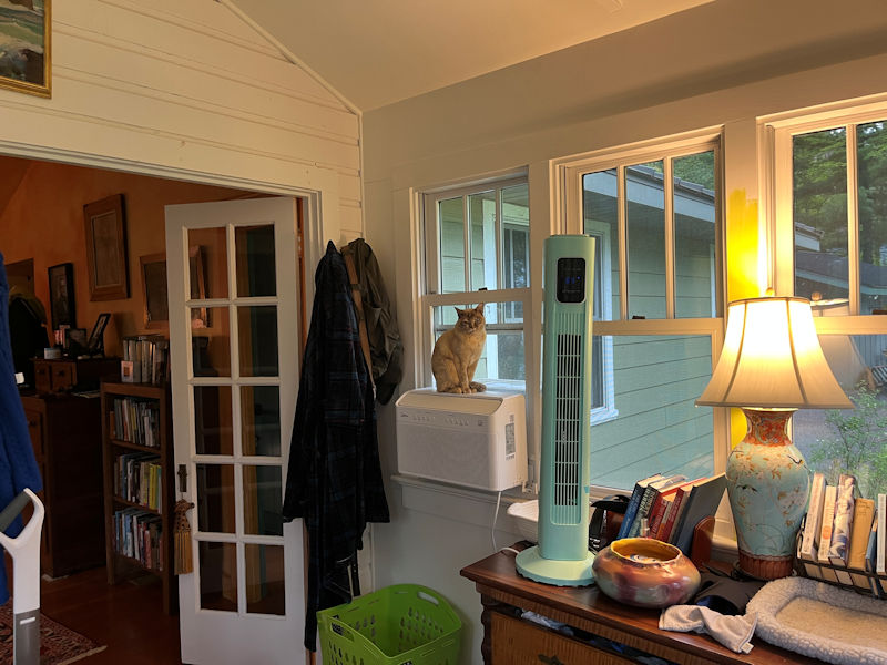
Back to 2025: Choupette may be wondering why the air conditioning's been turned off.
(Because the weather is seriously changing now.)
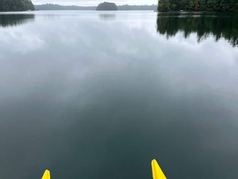
But for some climate change reason perhaps, we've been having more than a few mirror-lakes recently. Splendid.
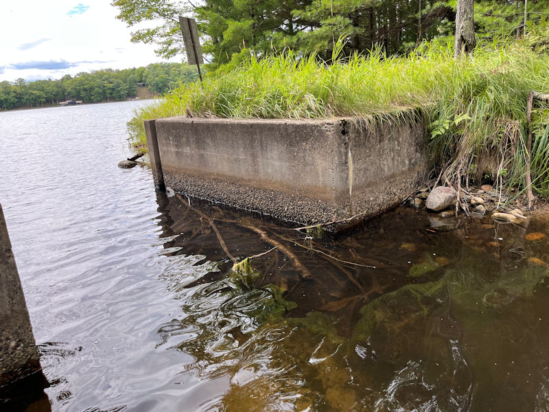
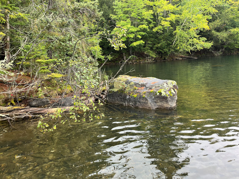
There are, hidden away, a lot of physical reminders of times past on the lake.
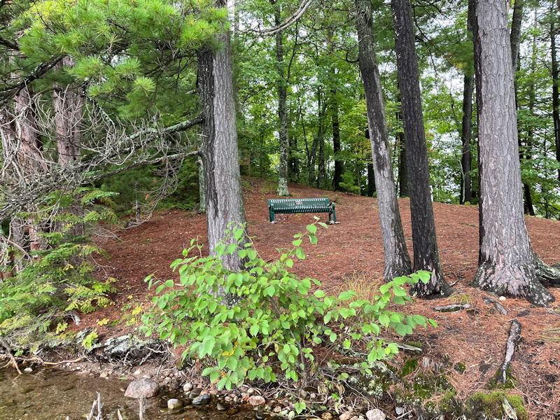
Another passing visit to Cousin Rob's memorial bench on Tigertail
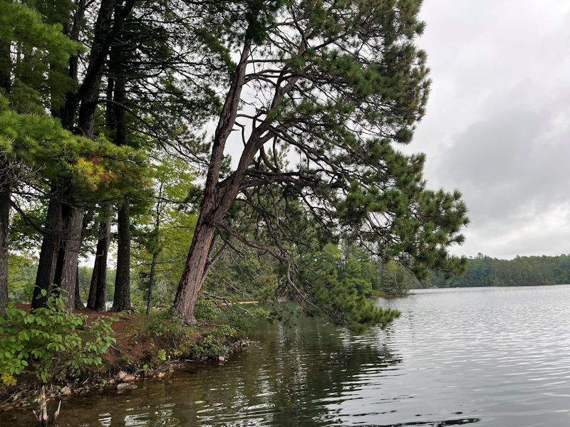
Rounding the corner at Tigertail, Pink Island in the background
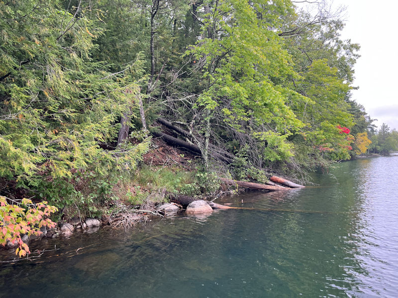
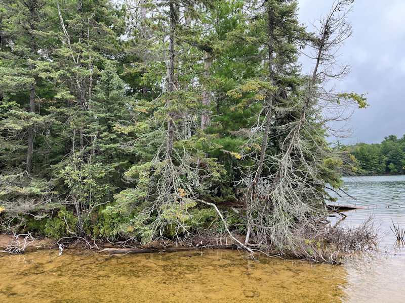
Along the Tigertail side of the South Shore Drive bay, with . . .
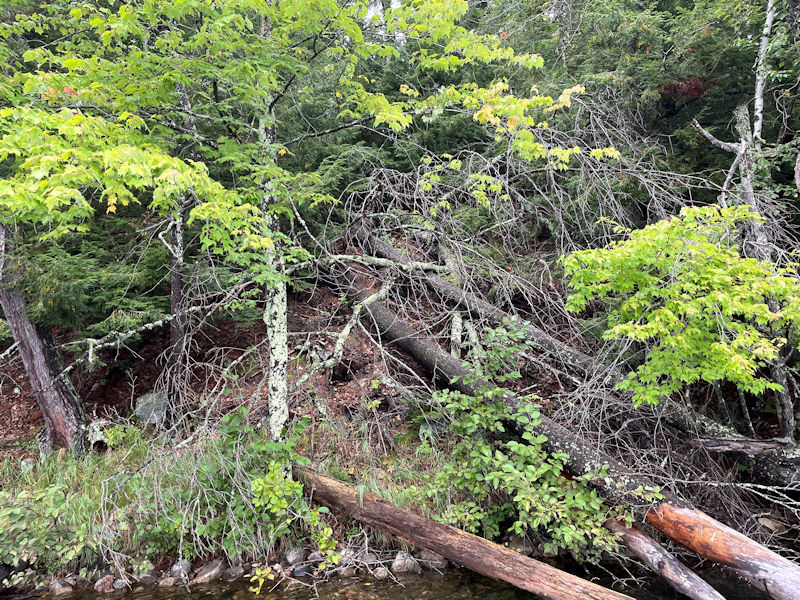
. . . lots and lots of arboreal wreckage
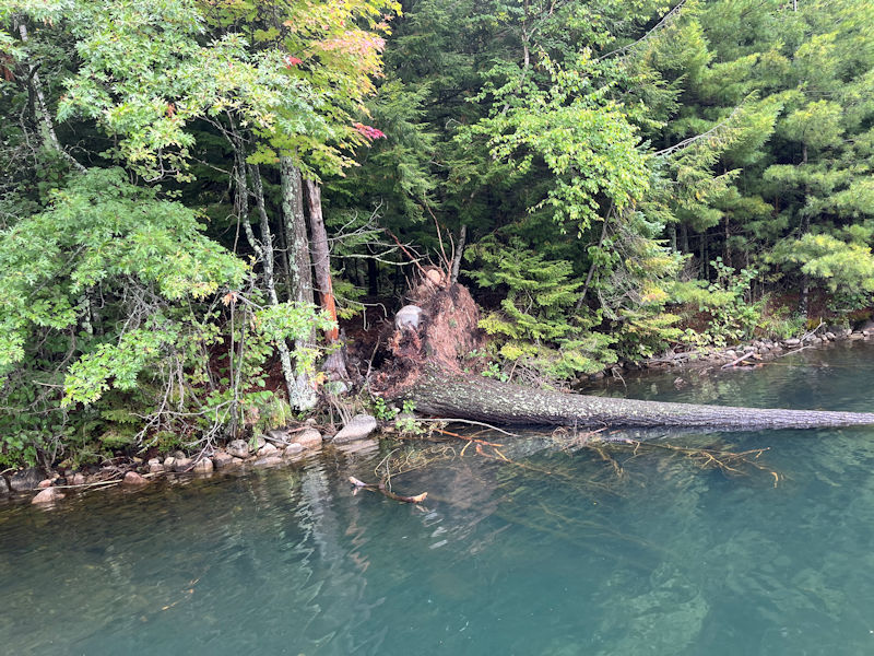
Sometimes tearing up a good piece of the root structure as well
There's one tree that the wake boats won't be able to knock down for a while.
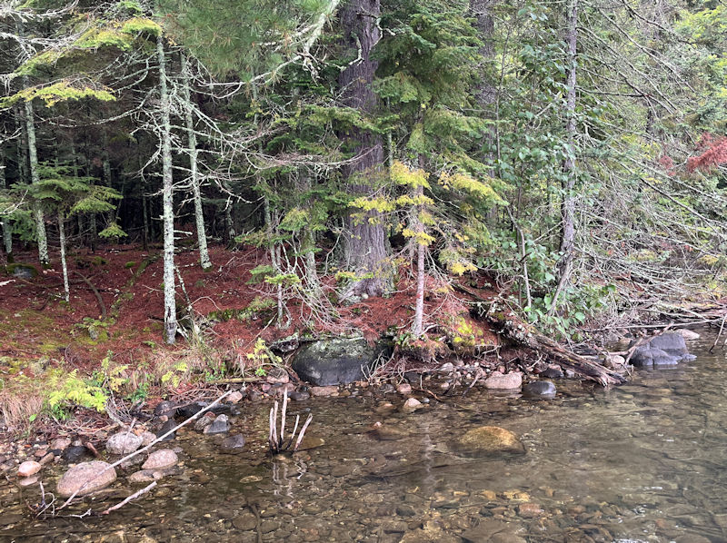
A permanent welcome into the hidden cove behind Tigertail
The Pottawattomie Trails Map

The Lake in the Wisconsin Northwoods
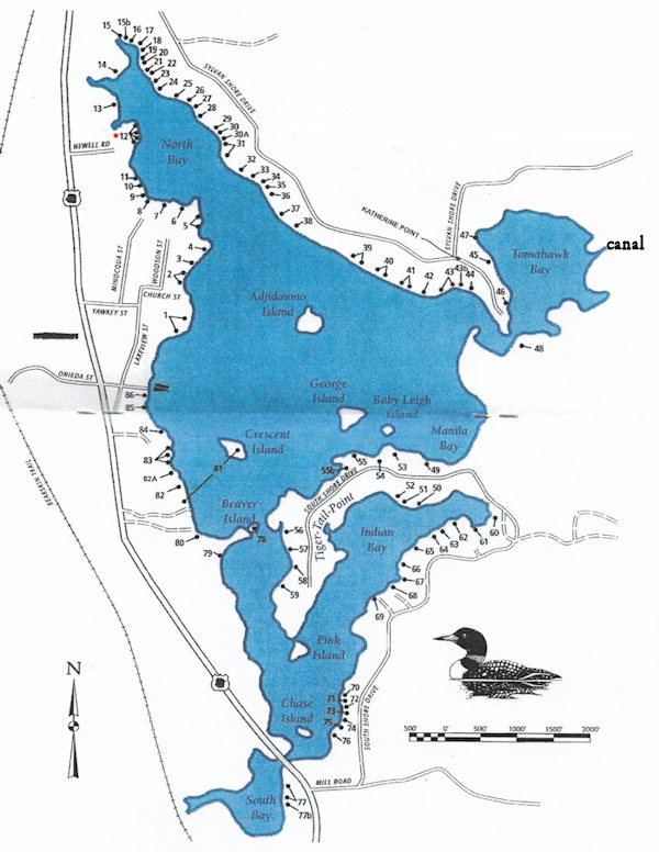
Mussent Point is at no. 12.
The text overlays are updating a few names to our current understanding.
Coming soon: Pre-autumnal wrapups on the lake
 Dwight Peck's personal website