|
Neighbors of Ollon Panex, Switzerland, 2014
You may not find this terribly rewarding unless you're included here, so this is a good time for casual and random browsers to turn back before they get too caught up in the sweep and majesty of the proceedings and can't let go.
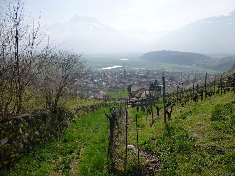
Escaping the Rhône valley fog, or whatever it is
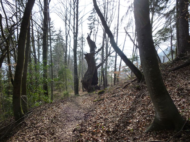
It's more or less straight up for a while.
And this looks like the path farther upward.
But it's not.
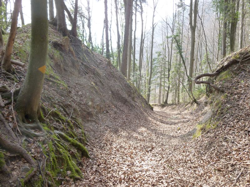
After 20 mintues thrashing through brambles, we discover our mistake. We'll send off for a new map.
We all have days like this.
The path above Crêt-à-Tavez, about 780m, looking down into the ravine of Le Bondet
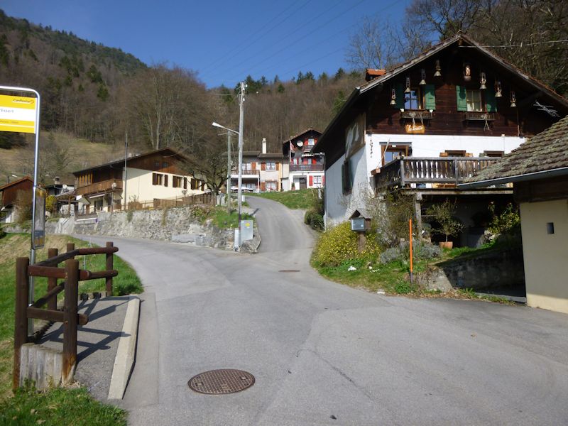
Approaching Panex, at about 900m
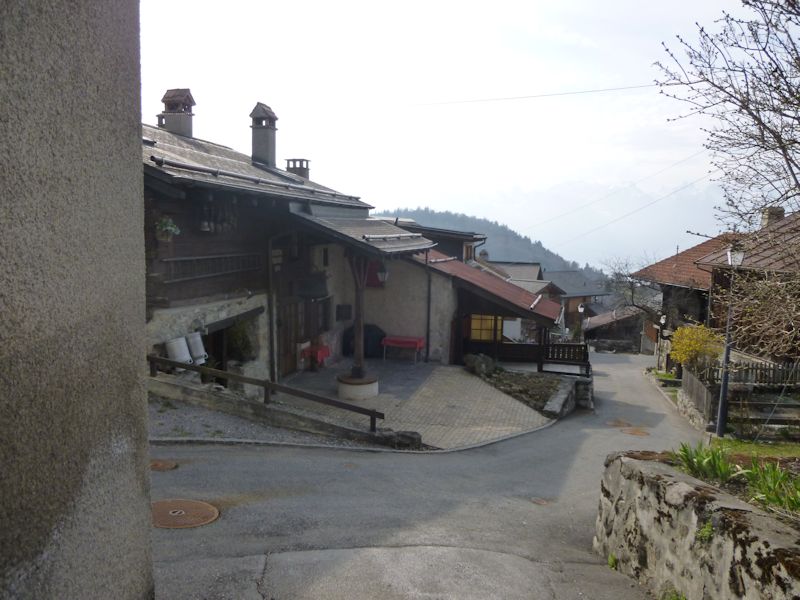
The post office of the left
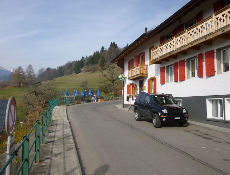
The local pinte or pub, featuring Boxer Beer
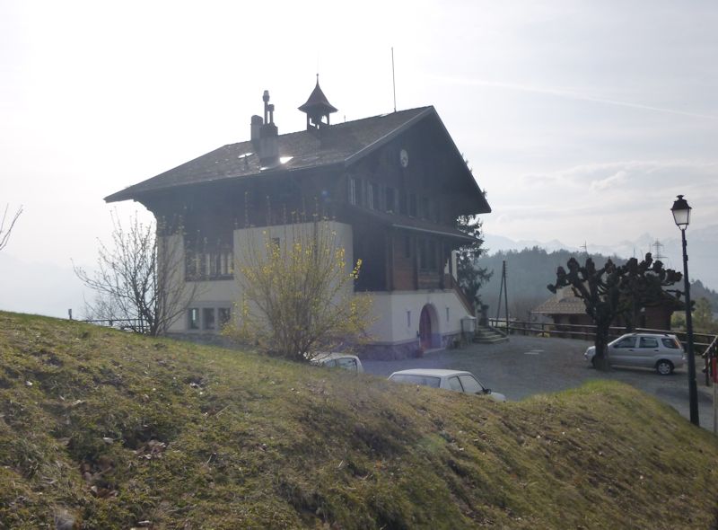
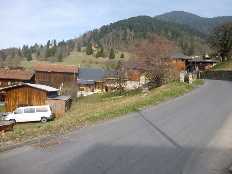
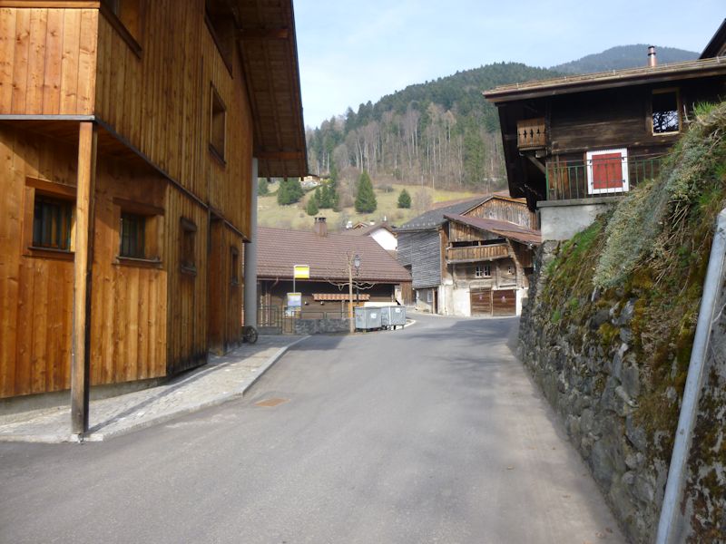
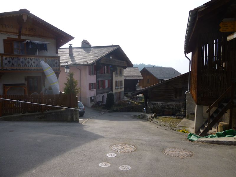
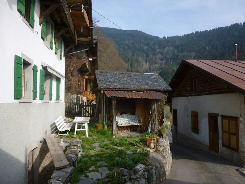
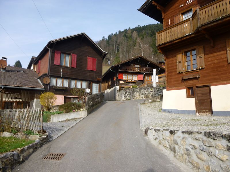
Street scenes
The edge of town on this side
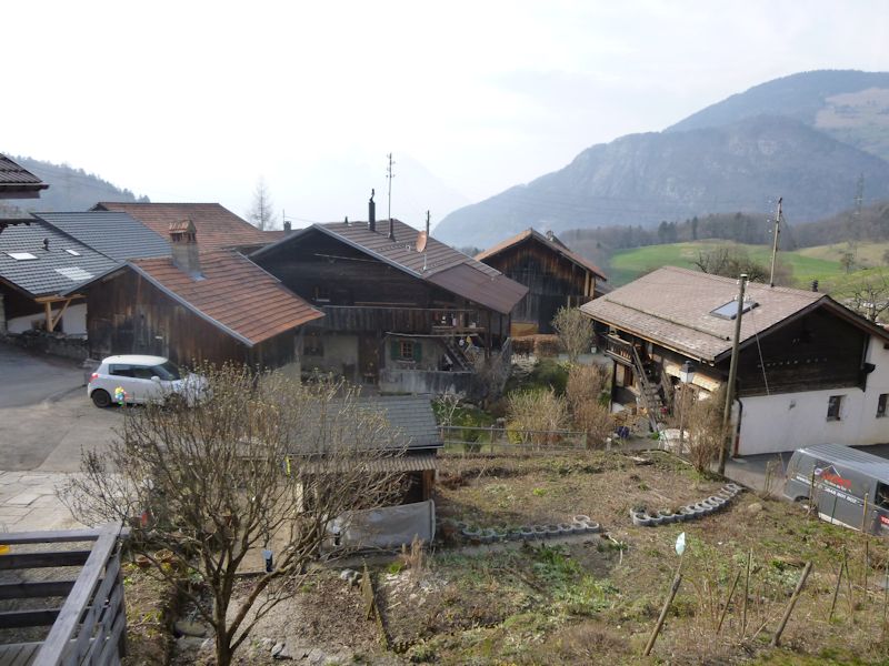
Back down through town, from about 950m
Back to the school
And back down the path
We'll get it right this time
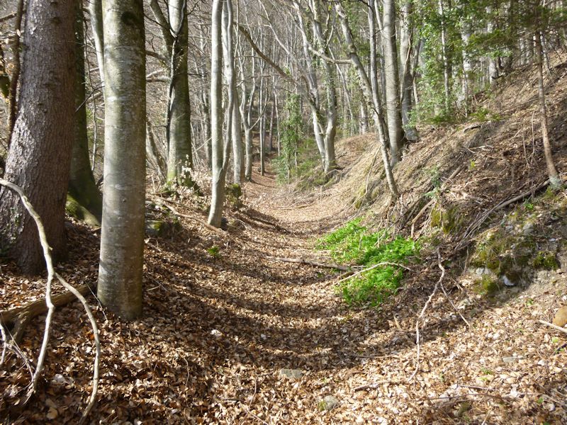
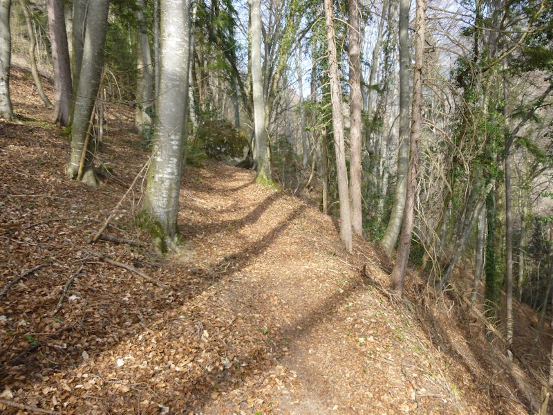
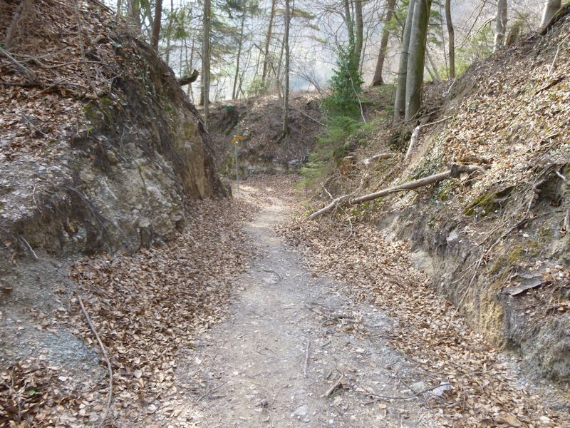
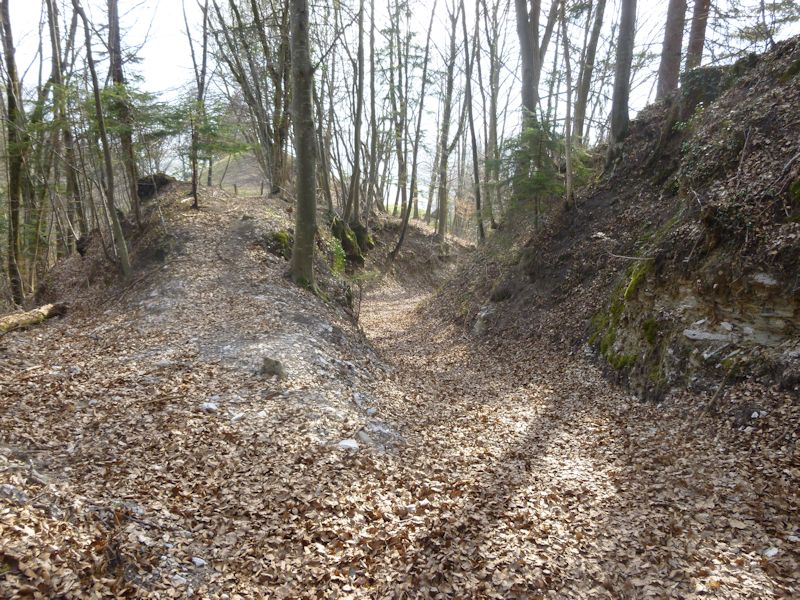
Ancient trackways up and down the mountain
A reassuring trail marker
This is perfectly murderous on old knees.
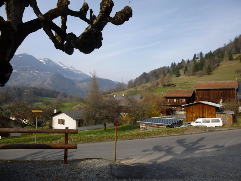
Back down to Plan-d'Essert
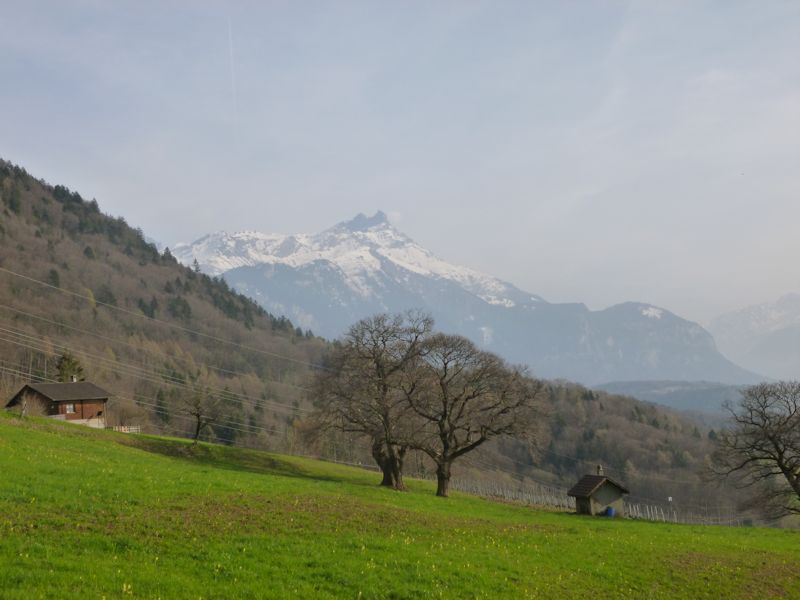
The meadows above Ollon, with the Dents de Morcle
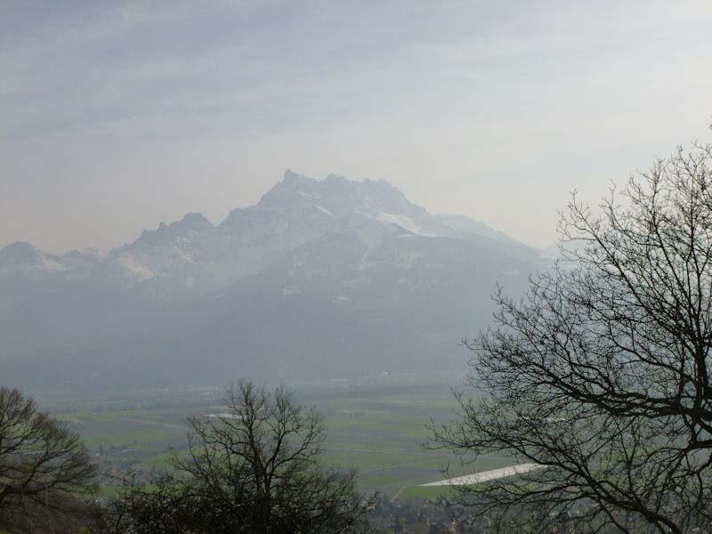
The Dents du Midi
Ollon
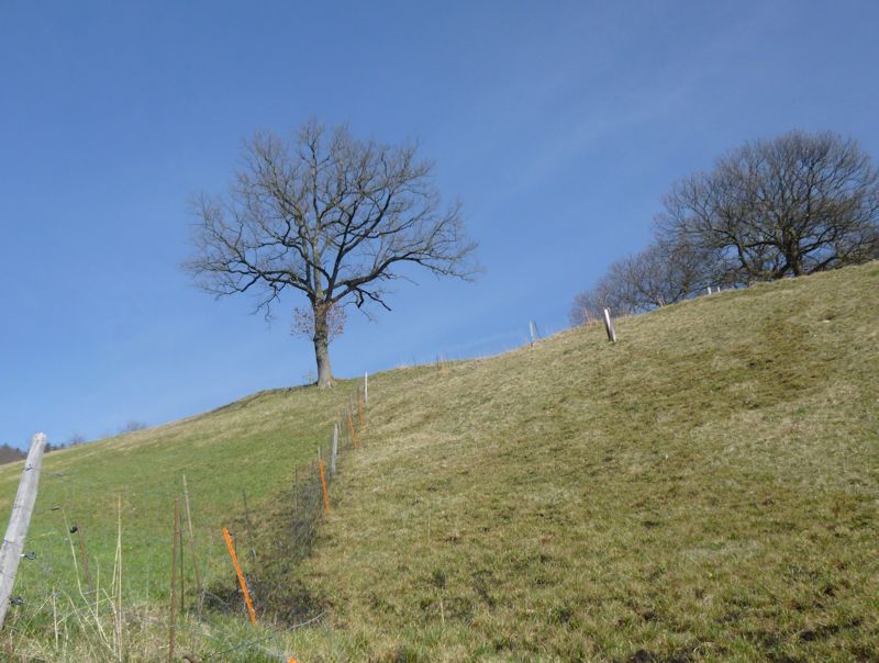
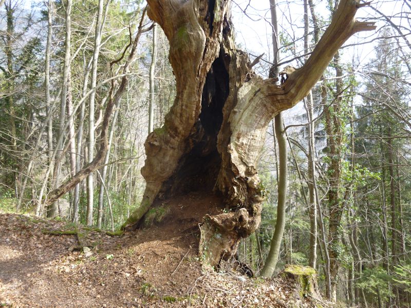
A tree
Ollon
Panex seen from Solacyre above Leysin, a few days later
|
 Dwight Peck's personal website


Local Swiss villages Ollon VD,
Féchy,
Bassins,
More local villages Aigle
Allaman
Antagnes
Aubonne
Genolier Lutry
Morges
Nyon
Panex
Perroy
Plambuit
Pully
Rolle
St-Prex
Vevey
|