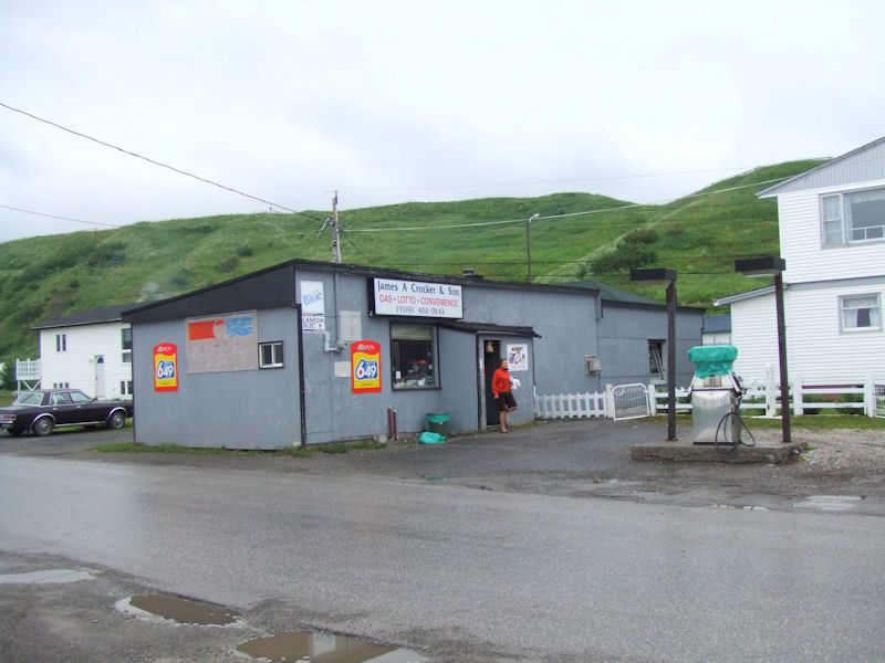
For
us, the Trout River experience begins at the Crocker & Son grocery (which
coincidentally was going out of business the next day), where we were looking
for butter. Butter is evidentally not to be found in Newfoundland -- even when
you ask for it, they obligingly lead you to the margarine.
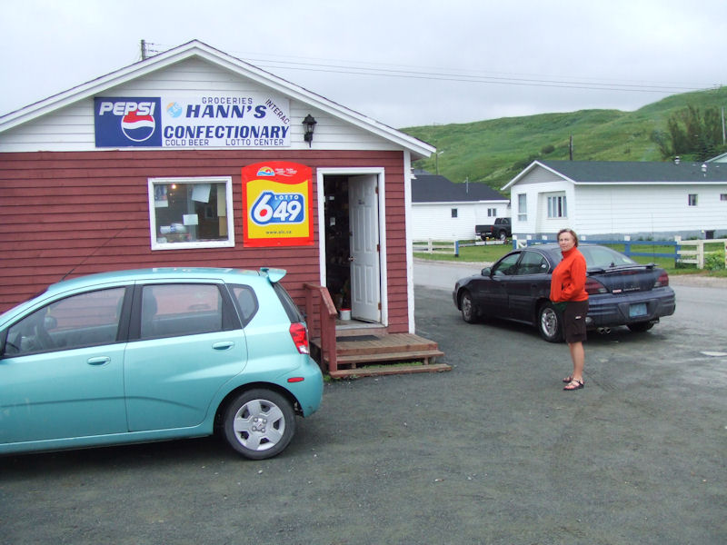
We'd
already tried Hann's Confectionary for some butter -- alas, just margarine! (And
truly bad beer.)
But
Trout River is near the heart of the Table Lands, where the tectonic plates keep
slipping under one another in turns and throwing up shelves of raw "mantle",
like 500 million years ago, so nothing grows now, and we've come all the way here
to walk about this so-called "mantle" on the Green Gardens trail.

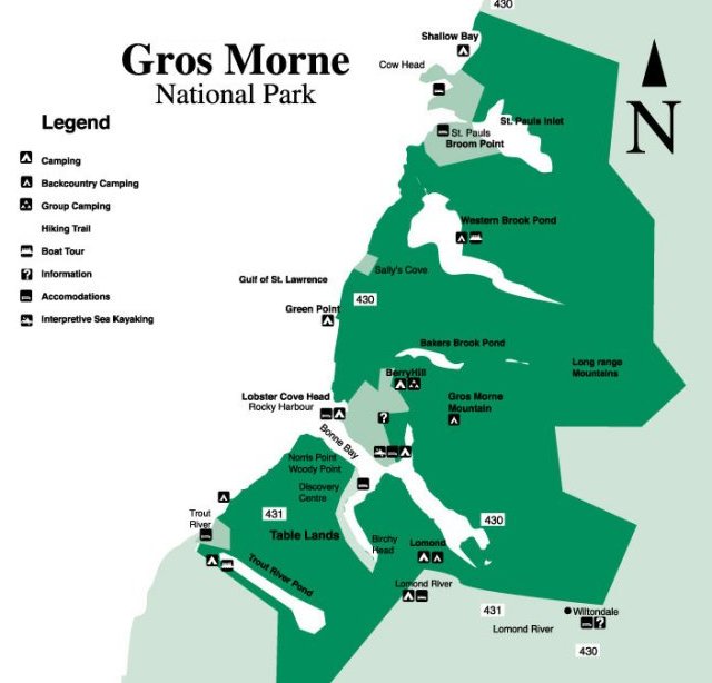
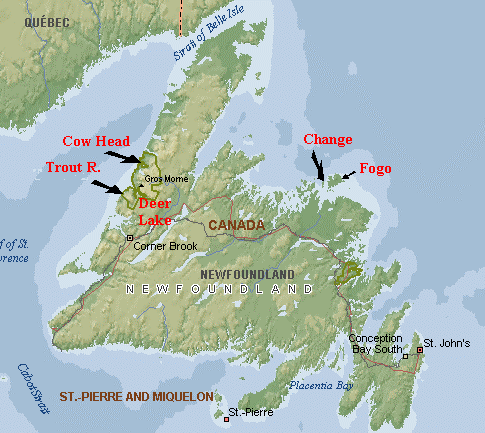
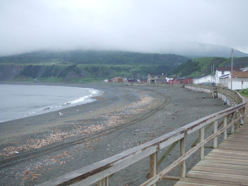
Trout
River is a fine little coastal town at the southern end of the Gros Morne National
Park (and UNESCO World Heritage site), south of Bonne Bay -- see the map
below --
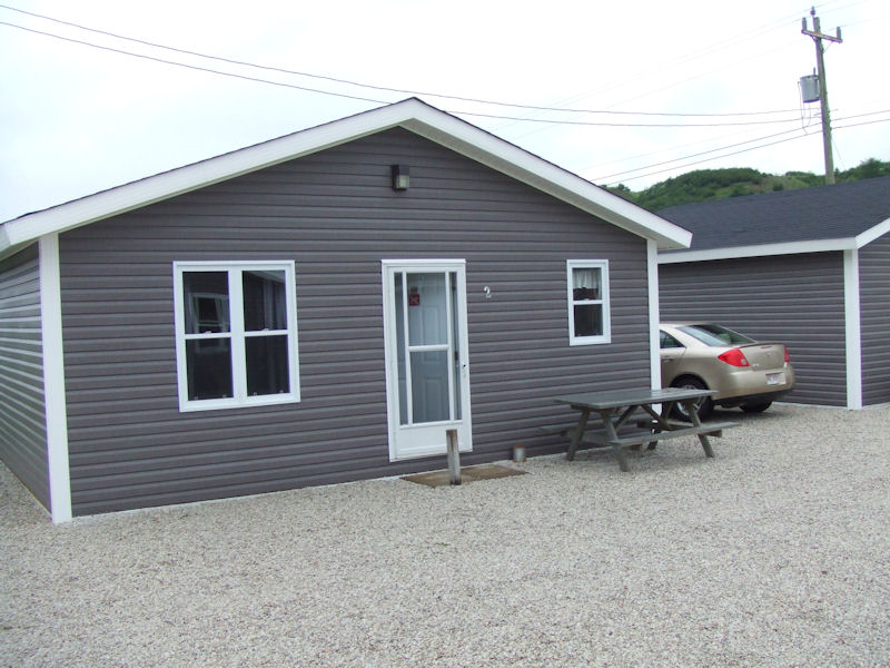
and
we've just scored this extremely satisfactory two-bedroom doublewide at the entrance
to the town, rockbottom prices, no charm, lots of space, and really really clean.
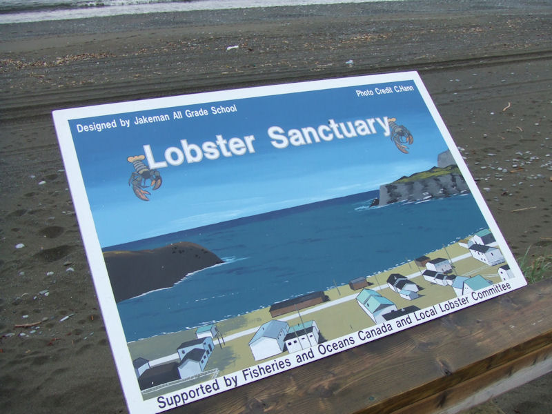
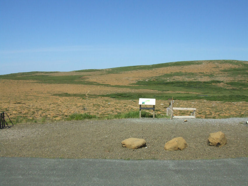
This
is the world I want to live in -- with grade schools designing environmental signs,
local lobster committees supporting them, everybody doing what they can to make
it all bearable. Not the world of Blackwater, Halliburton, Homeland Security,
Carlyle Group, immigration fences, Siege of Gaza (where did those people
crawl out from?).
In
any case, a bare kilometer's
walk brings us into the village on the coast, and . . . and . . . once again,
we're really really hungry!
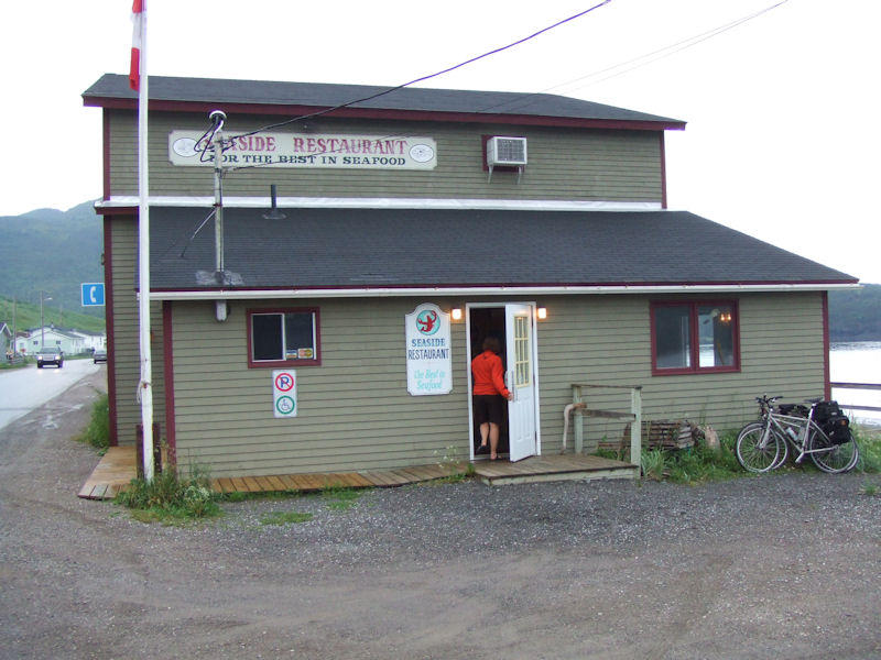
And
this is the perfect place to solve that problem. The upstairs panoramic room looks
out over the sea, and the food is stupendous.
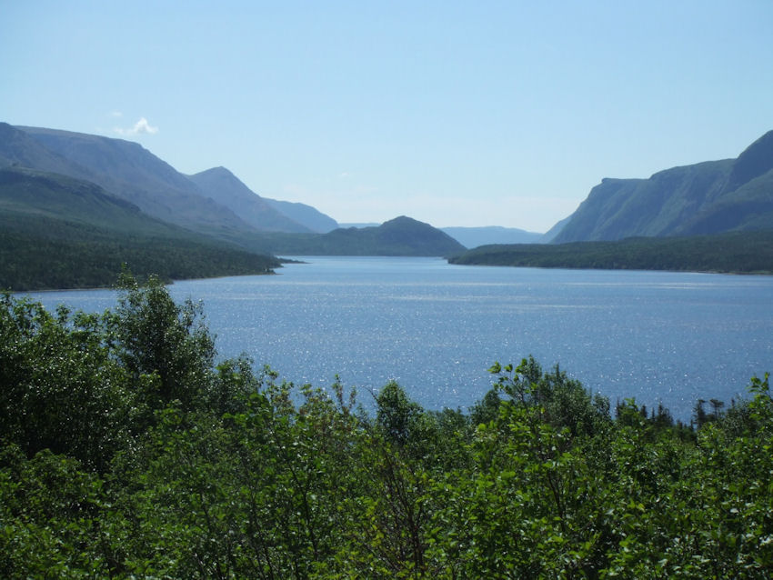
The
next day, a lovely view of Trout River Pond near the Table Lands, but in fact
we were on our way to the Green Gardens hike on the Table Lands at the time, and
couldn't linger.

We're just stopping in, first, to the Park's "Discovery Centre" near Woody Point, to view the exhibits, buy muffins for lunch, and utilize the facilities for the purpose for which they were intended, and they were very clean, too.

You
hear that, Bush?!?!
I'm
always astonished that, almost wherever you go, people are building such intelligent,
well-intentioned things. And with no obvious Profit Motive,
just to do good. They must know what's coming, but they keep on doing the best
they can in spite of that.
And
now it's time to go for a walk across the lower Table Lands towards the sea. This
is genuine, original "mantle" or "crust" or something, sticking
up out of the magma or tectonic plates. Or something.

And
we're welcome here! How often do you get to say that nowadays?
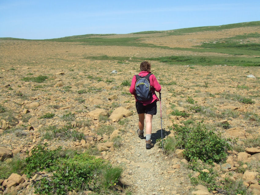
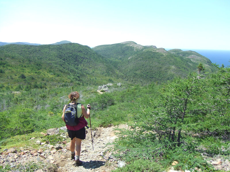
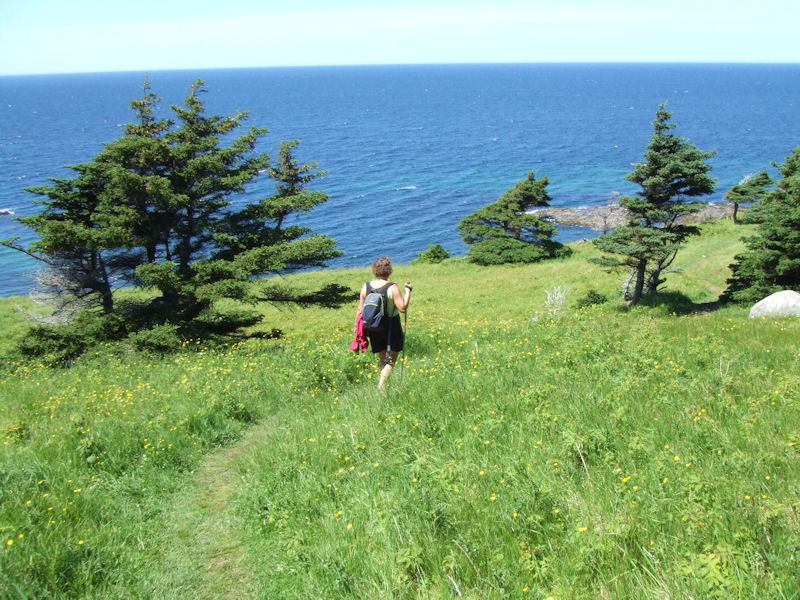
Kristin
leads off across the Earth's mantle . . .

.
. . and continues on across the Earth's mantle for a ways . . .

.
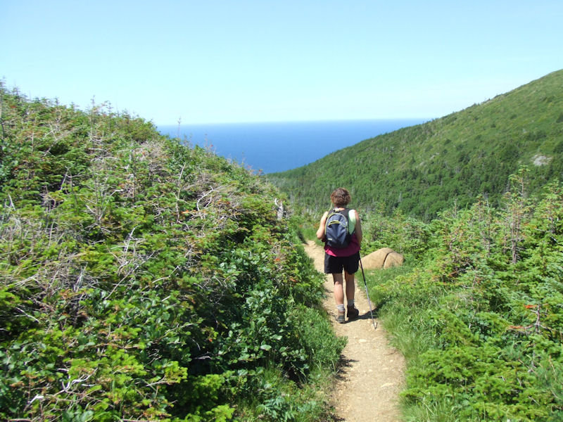
. . and finally begins to find us some greenery roundabout, but not much. It's
a lot like Turkey here.

This
hidden valley relieves the California desert scenic effects and leads down into
scrub forest towards the coast.
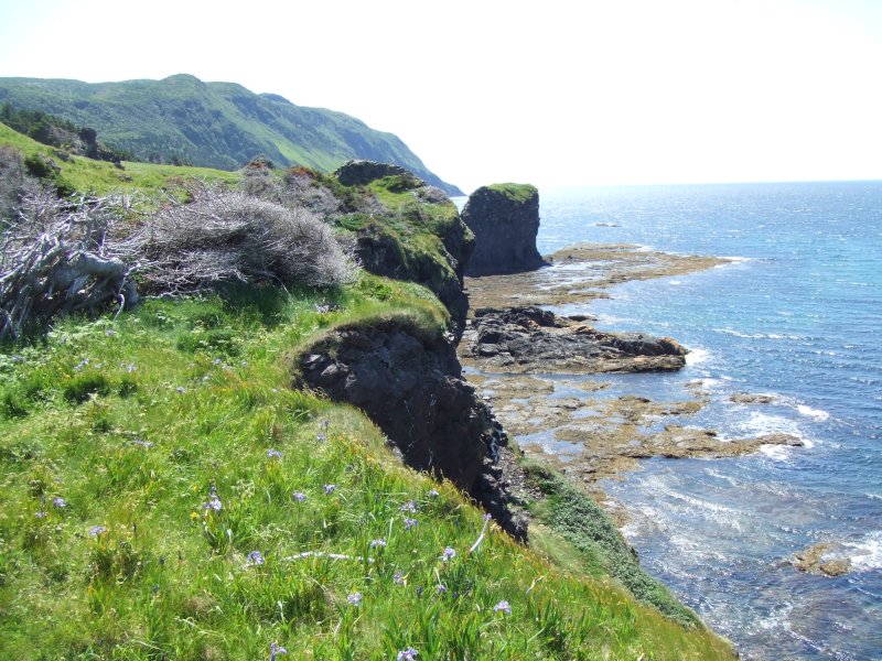
With
the sea in the distance. Or the Gulf of St Lawrence, rather. (Left: "tuckamore")
A
few more little valleys to pass through and we're at the sea. Trout River probably
lies just over those hills.
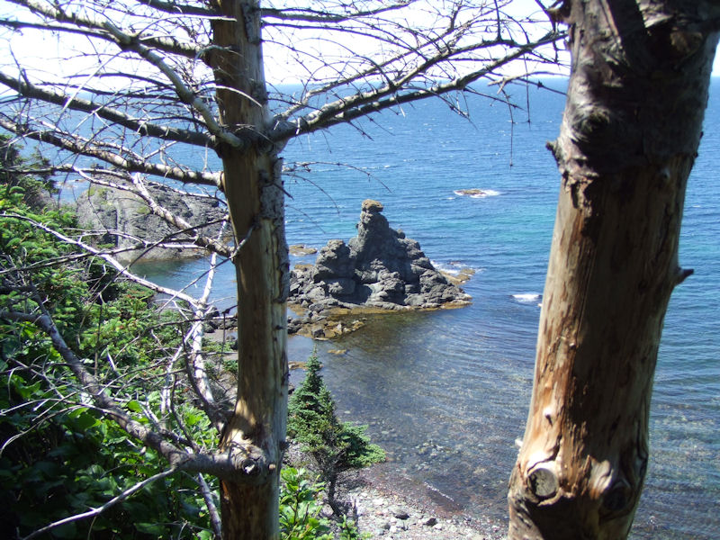
Sea
stacks
The
coast just north of Trout River, on the Green Gardens trail, June 2006

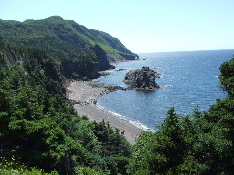
Looking
northeastward along the coast (though Kristin is looking southwestward)
Sea
stacks, looking to the southwest

The
narrator, finally running out of patience, posing the "Lunch Question"
But
there are more sights to be seen before we settle down for lunch.

Finally,
we're settling down for lunch. With a careful eye for the poison ivy or nettles
all about.
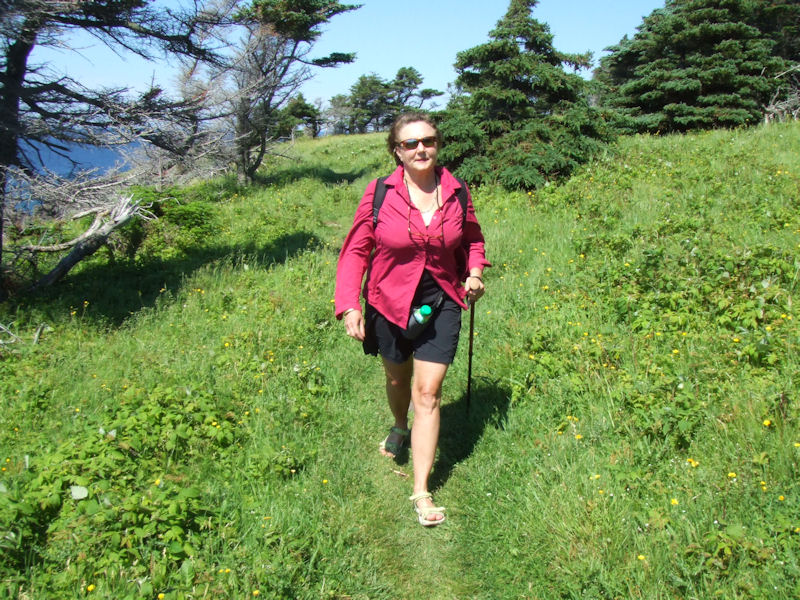
Heading
back to the car later in the day, up over a couple of ridges with "tuckamore"

Kristin
heading towards Long Pond -- in Newfoundland most lakes seem to be called "Long
Pond".
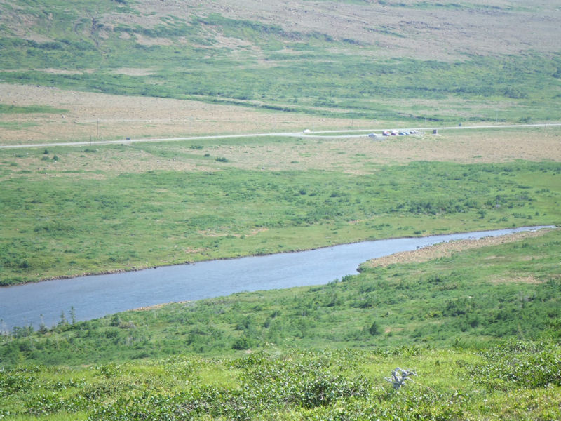
And
there's the parking lot, at the far end of Long Pond, and we've just time to drive
north to Cow Head before Happy Hour!
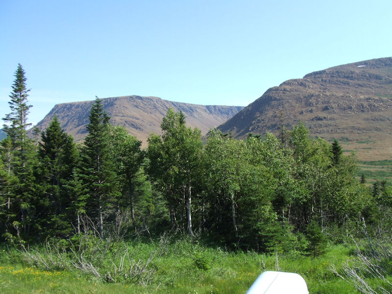
Passing
the higher Table Lands on the way back out to Woody Point and around Bonne Bay
to the northward road to Cow Head. That's original "mantle" there.
 Dwight Peck's personal website