|
 Dwight Peck's personal website Dwight Peck's personal website
Bassins,
Switzerland -- the neighborhood 
Great
village! Classy neighborhood!
These are just some scenic views of the lovely region around Bassins at various times of the year.
The protected
nature area of Noirmont begins just above Bassins
village, on our side, and extends up to the top of the communal lands near La
Bassine, right over the Jura ridge, and down to the French side.

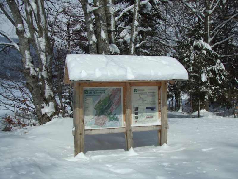
These
brilliant sign-things have been posted at all the main entries to the wildlife
area and show the boundaries, the walking trails, the mountain restaurants and
scenic outlooks, the rules and regulations on wildlife, and helpful suggestions
on what to look for. And warnings, like if you find a fawn, don't touch it, just
leave it for its mom. And assurances, like okay, there are snakes here, but they're
more afraid of you than you are of them.
Bassins
is largely a vertical town:
from the superb charm and majesty of the Rue de l'Eglise (753m), one can trudge
uphill through the original rural village to the school/swimmingpool area (770m)
and need not stop there; the suburb of fairly fancy houses (and some VERY fancy
houses (diplomatic corps, probably, or Proctor-and-Gamble)) extends farther up
the Routes des Montagnes to a "colonie de vacance"
or school holiday establishment at Les Platets (881m), where at a small parking
area (above) one finds another educational sign about
the protected nature area and the entry-point to Bassins' famous Sentier
Botanique, or Botanical Trail.
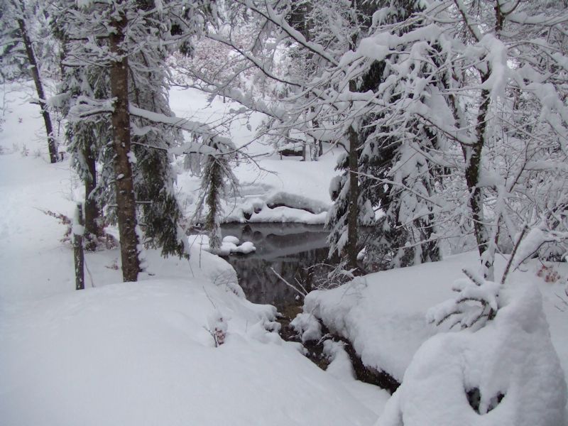
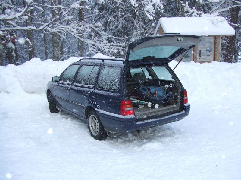
Just
above that parking, there's a nice little pond and picnic ground at 920m on the
Sentier Botanique. This photo is in March 2006.

A
bit farther up the Route des Montagnes, there's a permanent caravan park (960m)
for bargain-basement summer homes. Not much use in winter. In
fact, at the top of the Bassins communal property near the farm at La Bassine
(1261m), there's a beautiful roadside meadow that's marked for camping and camping
vehicles ("caravans") for finite periods of time, with no amenities,
doubtless one of the most beautiful camping spots anywhere.
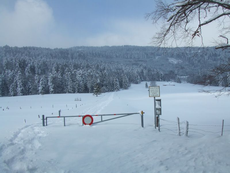
Just
above the caravan park, there's a winter barrier at 971m across the pasture (keeps
out the cars, but seems to be missing some of the snowmobiles these days), with
the farms of La Chaumette (with, in summer, a buvette or refreshments-place) and
Le Bugnonet.
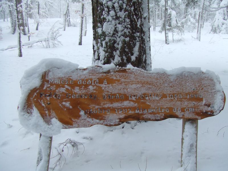
Wandering
quasi-aimlessly about in the forest of Le Jubillet southwest of La Chaumette,
one comes across this fine commemorative plaque at about 955m. "This larch
tree, at 66cm diameter, was dedicated in 1997 to the forest warden Fredy Genevay,
1952-1990."

At the
top of the Bois au Ministre above La Chaumette (1128m), the La
Dunanche sign, also advertising the new tourist amenity, the small memorial
and picnic spot at the extreme northern end of the World War Two defensive fortifications
("Ouvrage militaire") that run down the hillsides all the way to Lake
Geneva.

The
"dragons' teeth" concrete tank-blockers are known as "toblerones",
after the Swiss chocolate that comes in the same shape, and the Sentier
des Toblerones is an interesting hiking path that follows the fortifications
down from Bassins village to Gland and Nyon on the lake. Here's the little lookout
called La Dunanche near the top of the fortifications, with its obligatory flagpole.

Dragons'
teeth and narrator, March 2006

A charming
country lane leading from La Dunanche towards Les Frasses above Bassins. Charming,
but unfortunately knee-deep even with snowshoes in March 2006. An extremely beautiful
and rewarding and physically humbling journey.

The
top of the Route des Montagnes, the alpage of Bassins, about 1260m. The farm at
La Bassine sells homemade cheese products in summer.

Protected
area signs at La Bassine, 1260m, 19 March 2006


The
Noirmont national area and the protected area of the Jura, with hats on.
The
Number 7 Swiss National Bicycling Trail passes right up the length of the Route
des Montagnes -- it's got to be one of the most grueling sections on any of the
national bike trails. Even without all the snow. Similarly the Chemin des Crêtes
international hiking trail bisects the Route des Montagnes at about 1200m on its
way down to St Cergue. This is the crossroads of the sporty world, right here.

Free
camping areas at the top of the Route des Montagnes, no amenities, astonishing
views in every direction, American-style bullet holes in the sign.

Some
other residents of Bassins, in the forests just above town. For the first time
this year (March 2006), we non-Swiss residents got to vote
in the local elections, an extraordinary Swiss leap into hyper-democratic fairness
(with which, though I dashed out to vote in local elections for the first time
in my life, I'm not sure that I completely agree). But entirely other species,
like chamois, are still being discriminated against.

The
Espace Gasser, a charming botanical garden just below
town at about 720m (summer 2004).

Bassins,
seen telephotoistically in 2004 from near the humorously-named "Gare de Bassins"
(Bassins train station), about a half hour's walk away from town.

A
wooden starship cruiser, near Dunanche, January 2007

And
Erect, February 2008

Improvised architecture on the forestry road between La Pessette above Bassins and Les Chenevières above Le Vaud, 13 December 2009.

Someone's gone to a great deal of trouble for doubtless some purpose.


Mont
Blanc from Bassins, 20 May 2005
 Feedback
and suggestions are welcome if positive, resented if negative, Feedback
and suggestions are welcome if positive, resented if negative,  .
All rights reserved, all wrongs avenged. Posted 16 March 2006, revised 6 April 2010. .
All rights reserved, all wrongs avenged. Posted 16 March 2006, revised 6 April 2010.
|

