|
 Dwight Peck's personal website Dwight Peck's personal website
Weekends
at Salanfe
The
"other side" of the Dents du Midi
Mid-July
2007, Kristin's visiting, and we're looking for a venue with nice quiet mountain
views in the twilight hours.
Hike
to the Col de la Golette You
may not find this terribly rewarding unless you're included here, so this is a
good time for casual and random browsers to turn back before they get too caught
up in the sweep and majesty of the proceedings and can't let go. 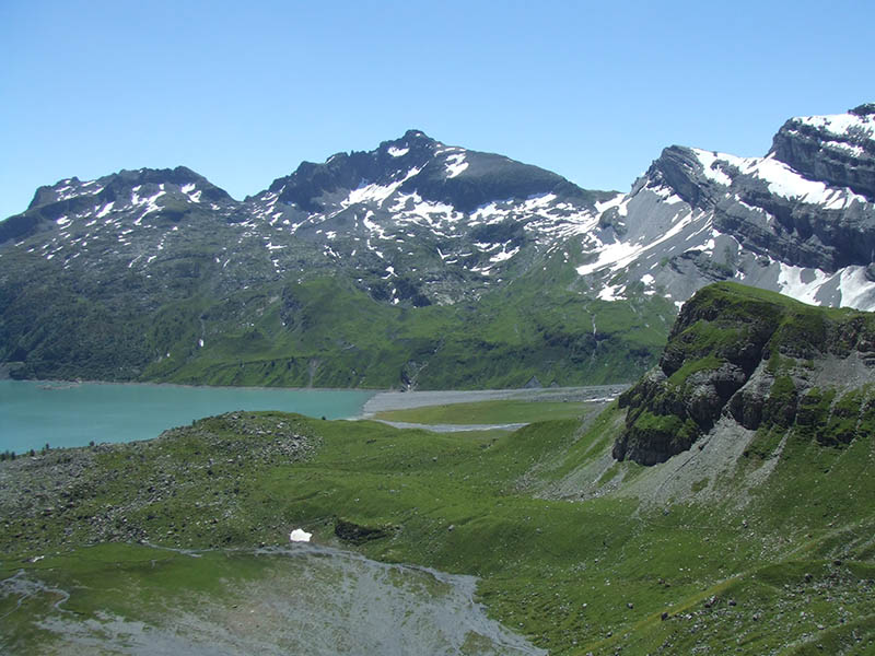
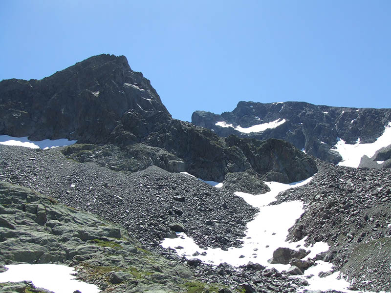
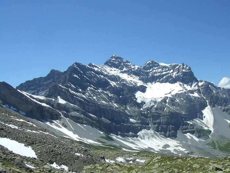
Today's
hike: The Col de
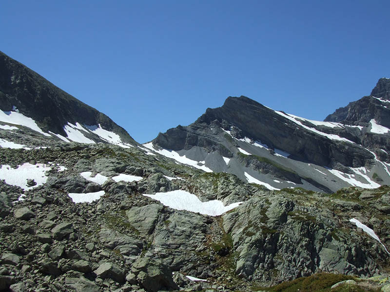
la Golette (on the left, 2466m high). The Col d'Emaney (2462m) is the pass
on the right, and Le Luisin (2785m) is the scraggly peak between them.
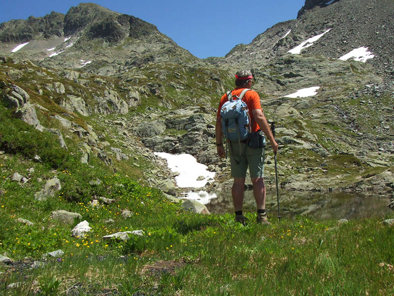
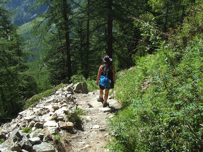
One
launches oneself, 15 July 2007, after a fairly meagre breakfast -- not a strong
selling point for the auberge de Salanfe -- around the southern side of the lake, 1910m,
accompanied by Kristin, who's bound for the "Tour du Lac" today and
a little quality time on the balcony. Joe and Teny have already departed for Quotidia
at dawn's light.
We
(the Royal We) are moving up through beautiful terraces, with little pools thoughtfully
placed all along a very serviceable hiking path. That's the Col de Susanfe in
the background, and the Haute Cime of Dents du Midi (3257m) up on the right.

We're
passing up under the Col d'Emaney now but bound upwards to the left instead.
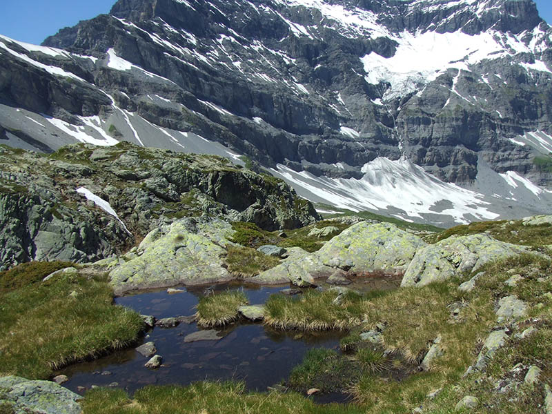
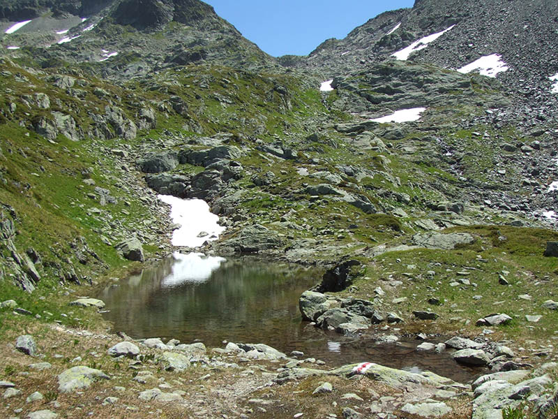
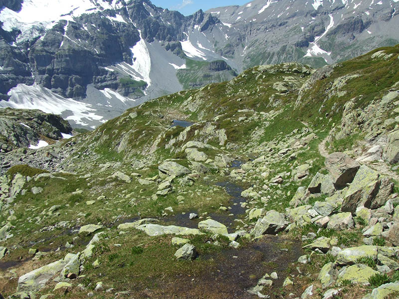
Another
lovely little pool, with Sallière looming behind. This is quite near what's
left of the "Chantier Robert" part of the old arsenic mine works, at 2195m altitude.
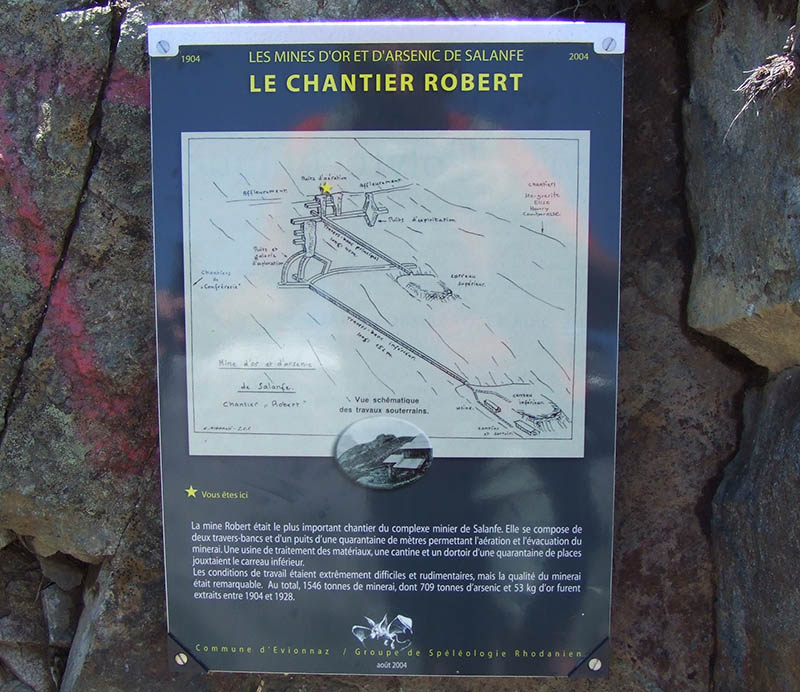
The
Robert mine was the most important workyard of the mining complex of Salanfe.
It was composed of two "travers-bancs" and a pit of 40m permitting ventilation
and the evacuation of the minerals. A treatment station for the materials, a cantine,
and a dormitory for 40 workers were located in the lower part. The working conditions
were extremely difficult and rudimentary, but the quality of mineral was remarkable.
In all, 1,546 tons of mineral, including 709 tonnes of arsenic and 53 kilograms
of gold, were extracted between 1904 and 1928.
There
goes the Col d'Emaney as we pass it by for "greener pastures", or whatever.
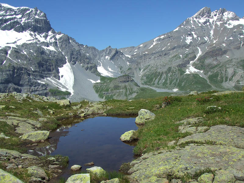
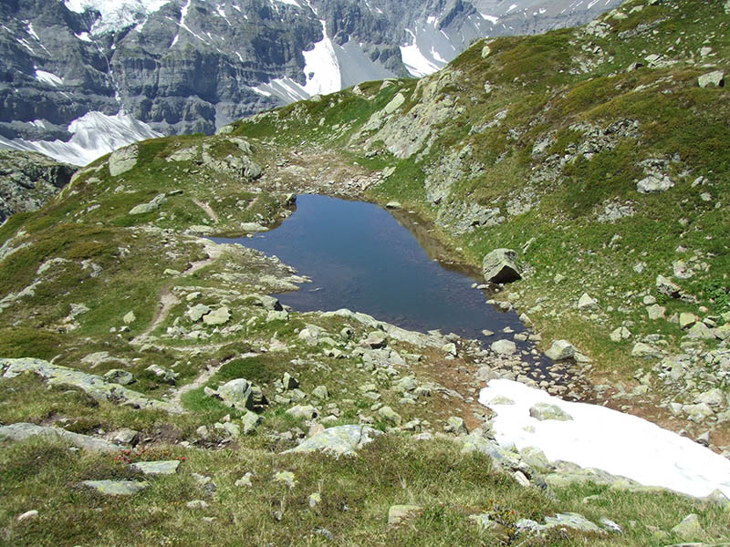
A
peaceful little pool at about 2300m, with the Col de la Golette above.
The
same cute little pool, with, unfortunately, horrific swarms of flies everywhere
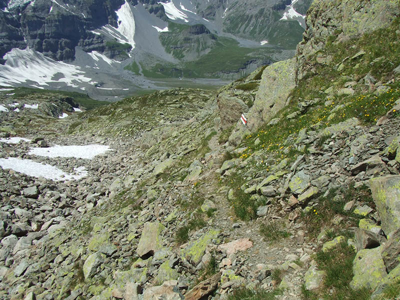
A
few more little ridges to get round for a clear shot at the Col de la Golette

That's
the Col there, or nearly so -- it's just over the far side, with a lot of scrabbly,
sandy rockfall and flies between it and us.
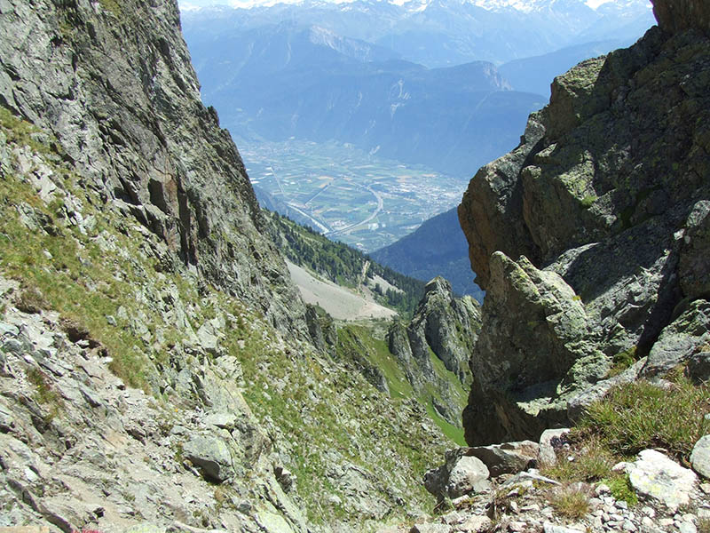
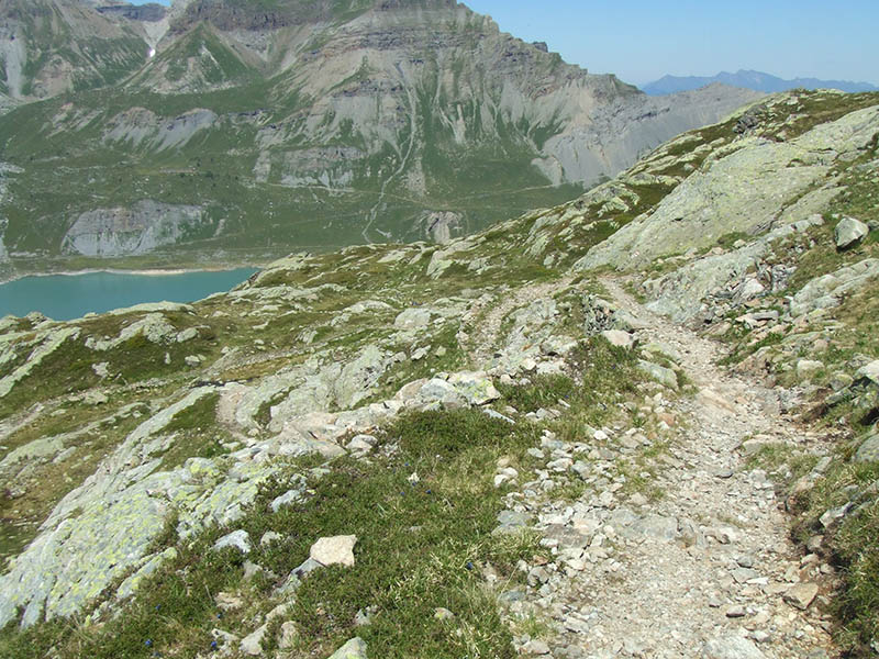
From
the Col de la Golette, looking 2km down the far side at Martigny in the valley
of the river Rhône.

Here's
a view back at the Col de Susanfe and the Dents du Midi from the Col de la Golette

The
Col de Susanfe (2494m) with the Fujifilm zoom lens on

Haute
Cime (3257m) from the south
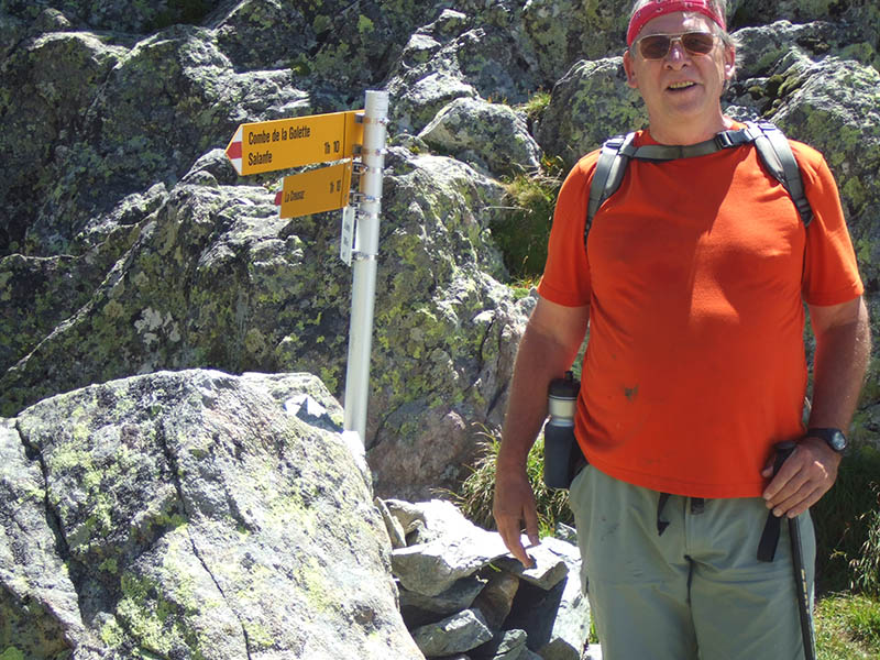
The
narrator at the Col de la Golette, photographed by a hardy lady runner who was
dashing past and offered to record this moment for posterity.
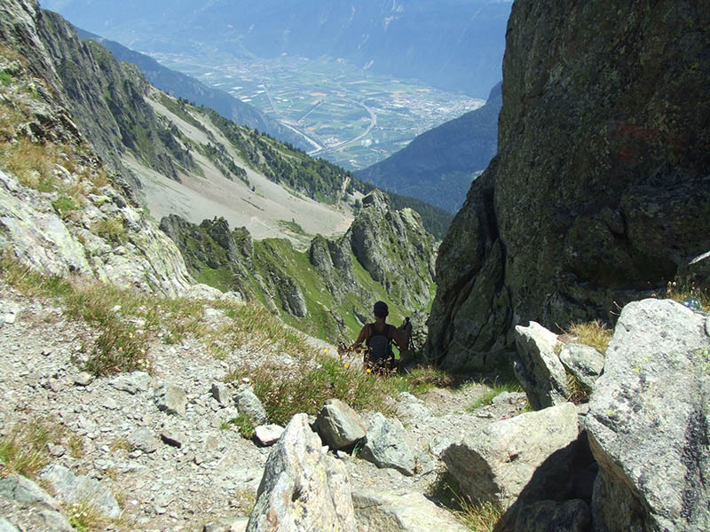
Our
photographer, headed for Les Marecottes straight down.
The
Tour de Sallière from the Col de la Golette. Icefall was booming down all
day as we walked along.
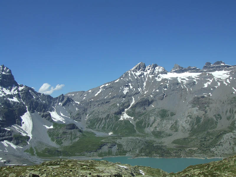
Susanfe,
Dents du Midi, and the Lac de Salanfe below

The
full majesty of the Dents du Midi from the south side. From left: Haute Cime (3257m)
and Les Doigts (the fingers), Dent Jaune (yellow tooth) and L'Eperon (the spur),
La Cathédrale and La Fortresse, and on the right, Cime de l'Est (eastern
peak, 3177m)

The
Dents du Midi from the north -- the classic view from Leysin. From this side,
the Haute Cime is on the right end of it.
|
We're
leaving the Col de la Golette now and batting away huge swarms of big black flies
as we march back down.
The beautiful pools reappear.
The
narrator having a last mnemonic look back up at the col, in case he never gets
to come back here again.
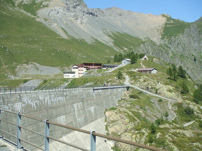
Street scene
The berghotel at Salanfe (the last time we were on this path we were nursing a bunch of cracked ribs)

Haute
Cime, Les Doigts, Dent Jaune, L'Eperon, La Cathédrale, La Fortresse, Cime
de l'Est, with their glaciers ranged out in front of them and all the muddy scree
rock below. And the lake at the bottom.
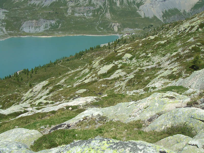
Back
to the auberge in a timely manner. That path leading up to the right goes over
the Col du Jorat and eventually down to the Rhône valley. Our
recollection of that walk in 1991 is lost amongst memory-pangs of descending
those 2 km straight down with the aforementioned fractured ribs.
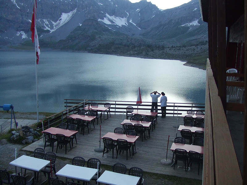
From
our balcony in the evening, with our couple of bottles of red wine poured out
of plastic hiking bottles that don't break in the backpacks and our reading material:
Stephen Kinzer's excellent Overthrow: America's Century of Regime Change
from Hawaii to Iraq (2006) and John Pilger's Freedom Next Time (2006).
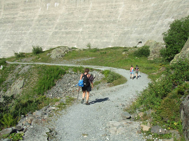
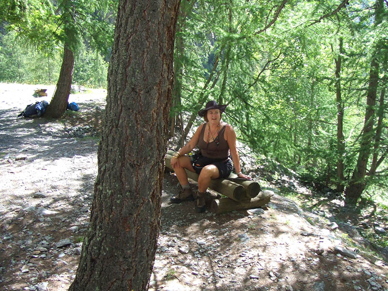
Last
day: 16 July 2007, we're heading back down the hill to the car, and planning a
sightseeing drive up past Finhaut to the Lac d'Emosson,
across from Mont Blanc, later in the day.
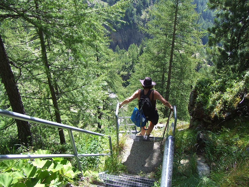
Kristin
slithering down the stairways through the cliffs to Van d'en Haut
Kristin
contemplating something
Kristin
contemplating something else, or the same thing.

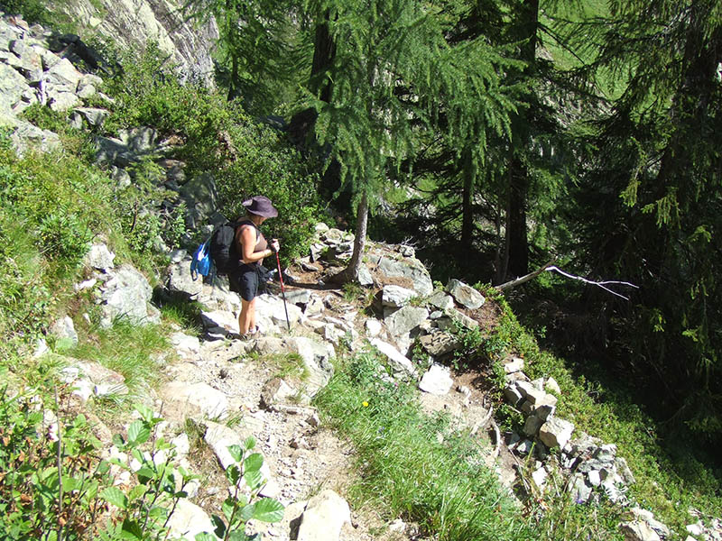
Kristin
contemplating a fairly steep path
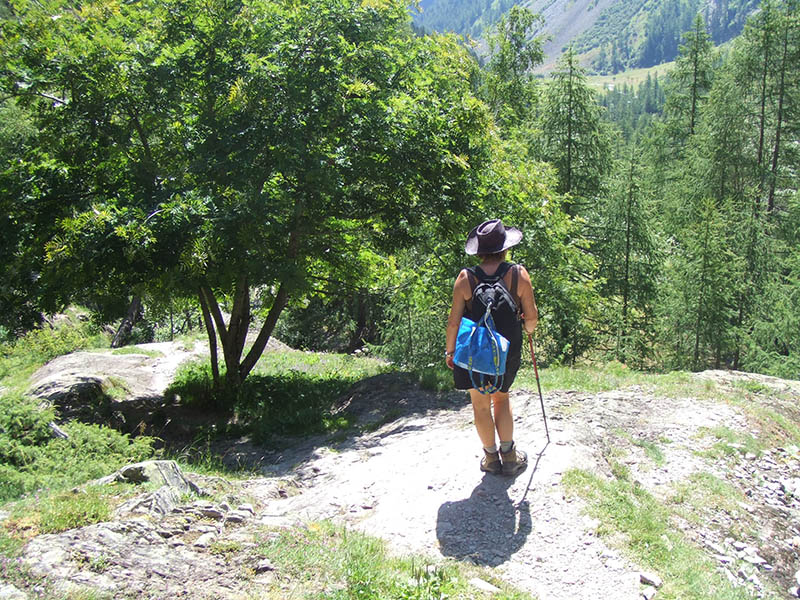
Not far to go now
Down!
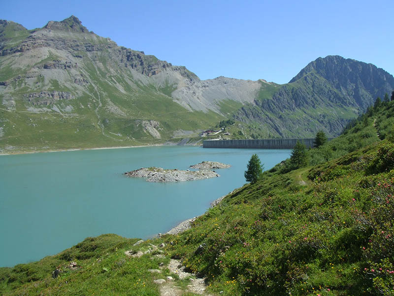
One
recommends the Lac de Salanfe, in general -- the hiking is exceptional, the scenery
is as good as it gets; the auberge is comfortable, cheap, and friendly, the mid-day
menu looked interesting but we were otherwise occupied during the day; the evening
meal is a fixed menu which is okay for a mountain hut but not really worth the
30 francs half-pension additional price, and the breakfast was distinctly unimaginative.
 Feedback
and suggestions are welcome if positive, resented if negative, Feedback
and suggestions are welcome if positive, resented if negative,  .
All rights reserved, all wrongs avenged. Posted 4 August 2007, revised 4 November 2013. .
All rights reserved, all wrongs avenged. Posted 4 August 2007, revised 4 November 2013.
|