You may not find this terribly rewarding unless you're included here, so this is a good time for casual and random browsers to turn back before they get too caught up in the sweep and majesty of the proceedings and can't let go.
Not just another 'Little Venice'

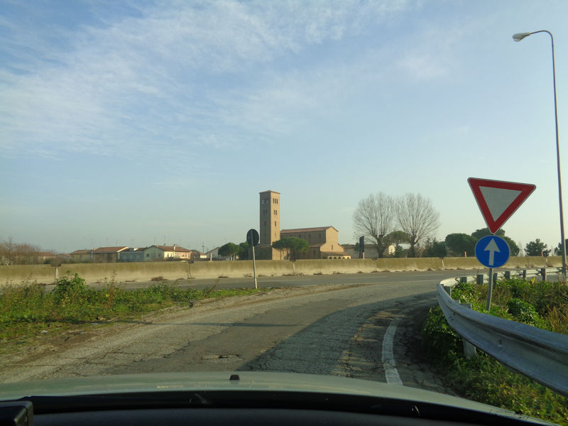
An inauspicious beginning -- our cute little Volvo is planted in the grey parking lot near the Canale Marozzo in central Comacchio, the venerable nearly-coastal city of 23,000 45km southeast of Ferrara and just 30km north of Ravenna.
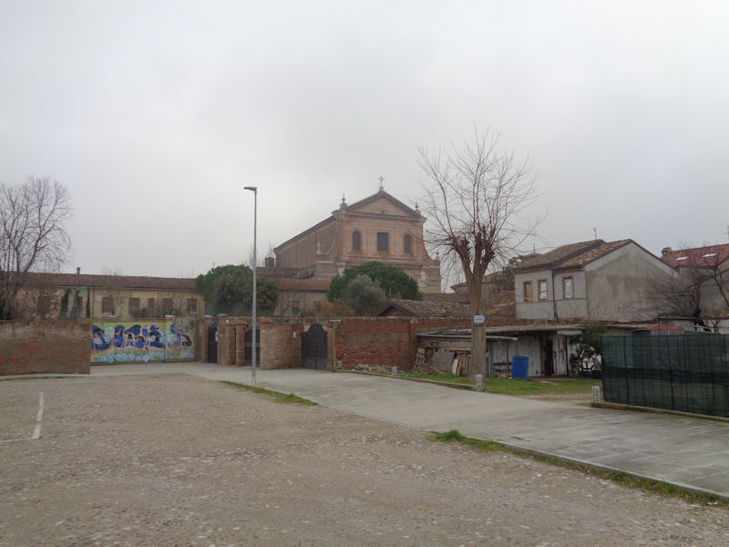
We've spotted a church -- at least that might be worth a quick look.
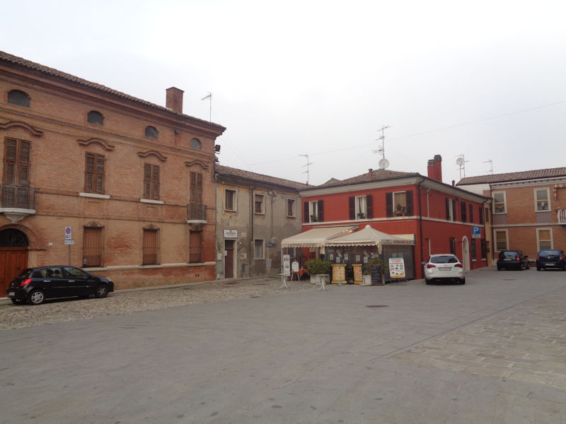
The Piazza Duomo

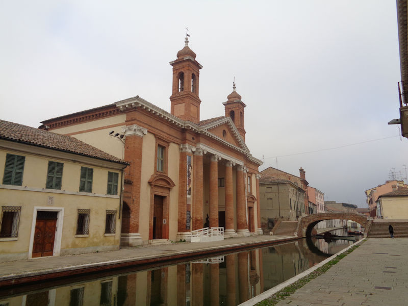
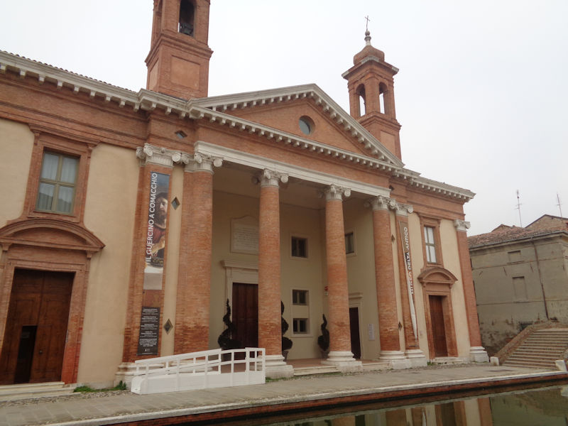
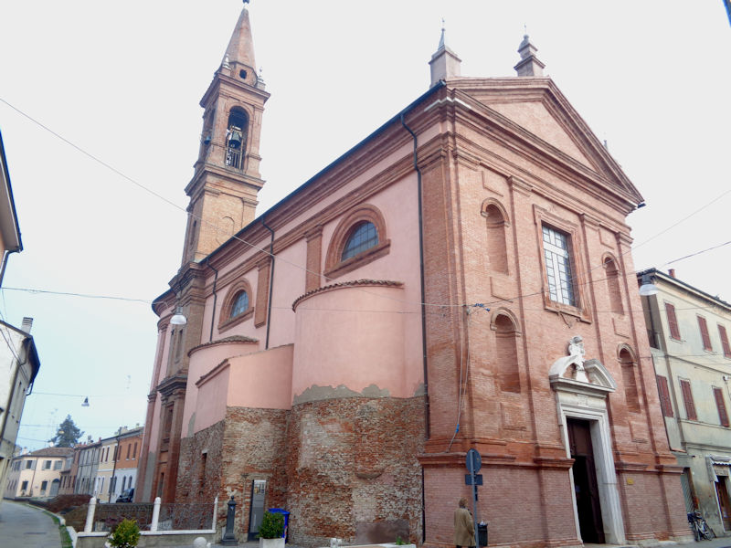
Here is the Duomo di Comacchio, or Cattedrale di San Cassiano -- named for the local Saint Cassian of Imola, patron saint of Imola and Comacchio and of parish clerks and schoolteachers, the last of those because he was said to have been 'martyred' in 363 by ungrateful students who tied him to a stake and stabbed him to death with their writing pens.
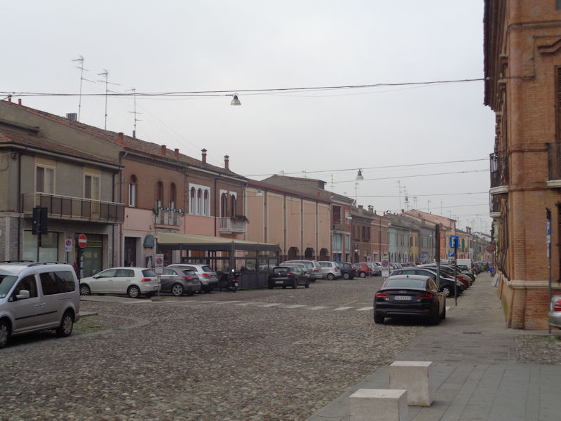
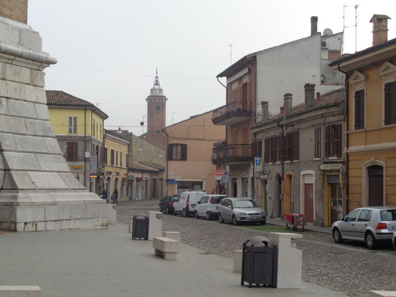
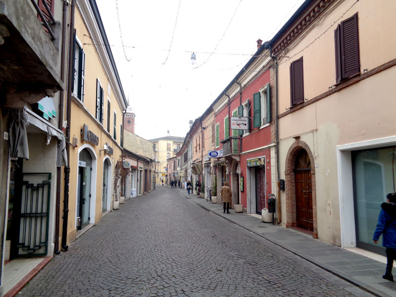
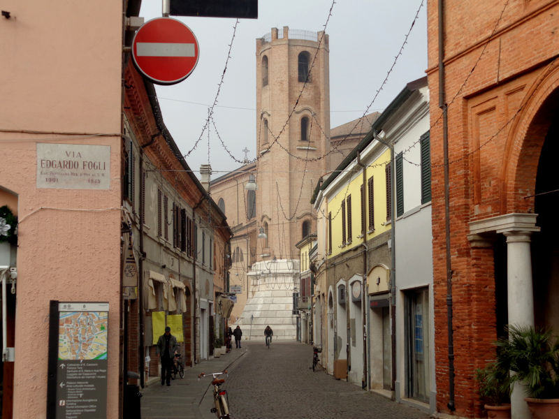
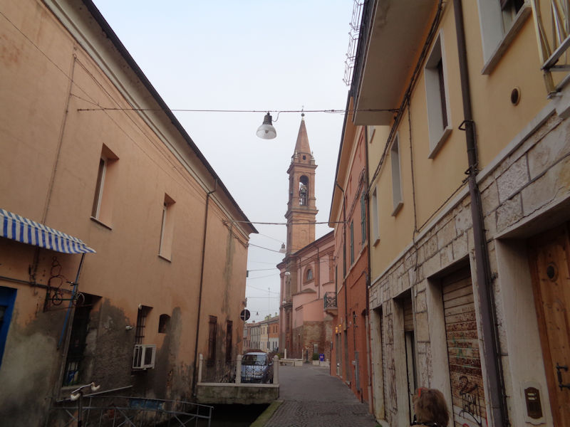
A glance westward up the main drag, the Corso Mazzini . . .
. . . which here becomes the Piazza XX Settembre (named for the capture of Rome in 1870). We're entering the Duomo by the side door.
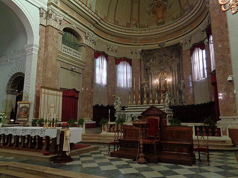
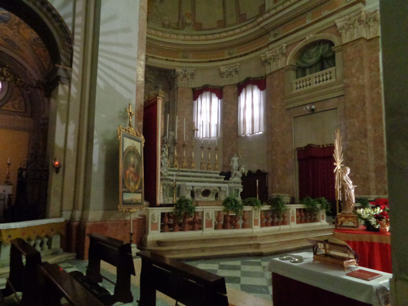
The predecessor Romanesque church is said to have been built in 708 but to have been knocked down in 1694. The present building was consecrated in 1740, as a cathedral since Comacchio had its own episcopal see at that time, but since consolidation into the Archdiocese of Ferrara-Comacchio in 1986 it is now a co-cathedral. There is a 16th century statue of poor St Cassiano up behind the altar.
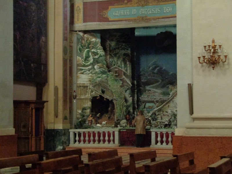
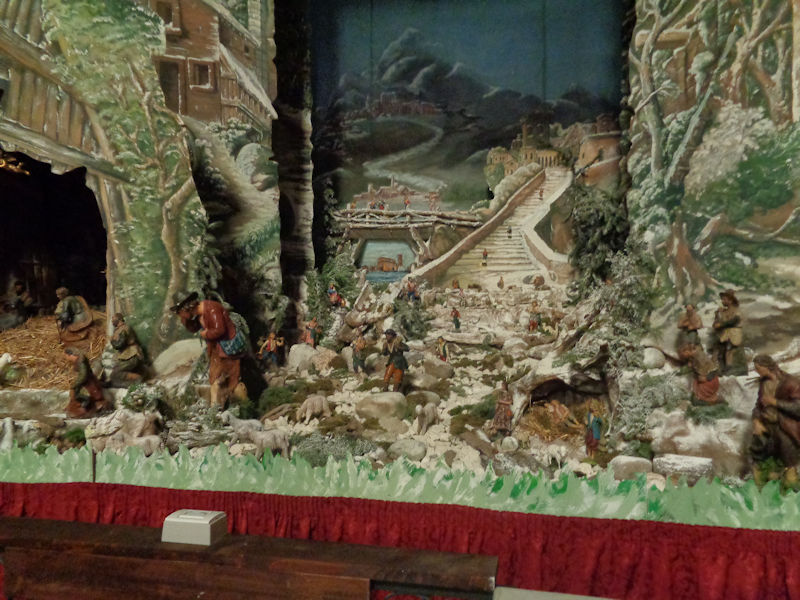
Kristin has quickly found the seasonal presepe or nativity crèche.
The little painting in the centre shows the present church.
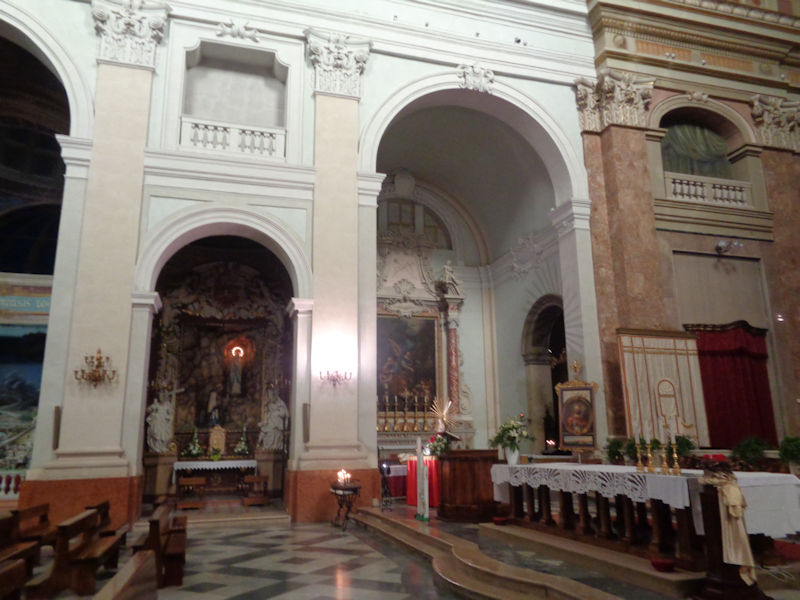
Nothing here is very much to our Romanesque/Gothic aesthetic tastes, but it's all well-intended.
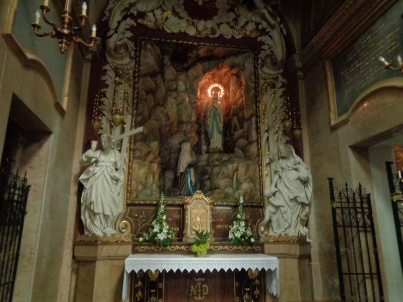
That may be the 15th century statue of St Lucia, as advertised, but the electrical halo is dissuasive.
The belltower outside was built in 1751 but fell over in 1757 -- the present replacement dates from 1868.
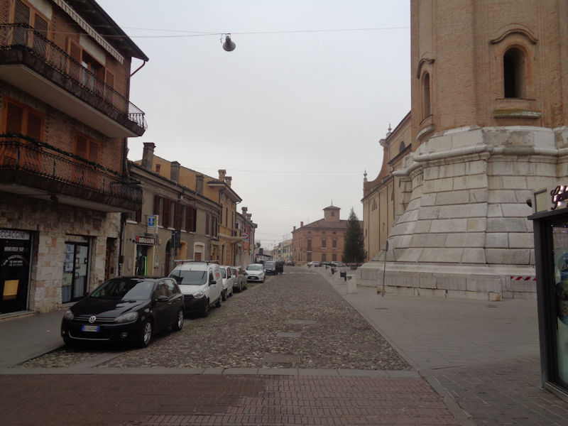
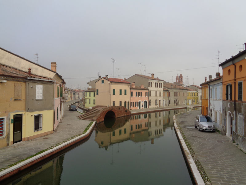
Good news, the pedestrian centro storico begins at that intersection. The site of Comacchio was occupied by Etruscans and Gauls, then improved by the Romans during the reign of Augustus. It's situated amid lagoons just north of the river Reno, which comes down from the Apennine heights near Pistoia, past Bologna and Ferrara to the Adriatic Sea just south of here. The principal attraction of the location, aside from the strategic importance of the potential for a seaside port, has always been the salt pans associated with the wetlands that, though somewhat drained over the centuries for agricultural and residential uses, are still described as "the single most important wetland in Italy for breeding waterbirds" (Ramsar).
With its salt, fish, and fertile soil, as well as its river access -- the southern branches of the Po river passed nearby then and the Reno is still here -- the town, built upon 13 small islands connected by bridges, seems to have prospered under the Goths in the 5th-6th century. The first extant reference to the organized town itself dates from about 715, but from the 6th to the 8th centuries, the Lombards made it the seat of a duchy and established a fortress and commercial centre here which cut off traffic between Padua to the north and the Byzantines' Exarchate of Ravenna. The Carolingian Franks, when they came through in the 8th century, donated the city, with most of northern Italy, to the Pope.
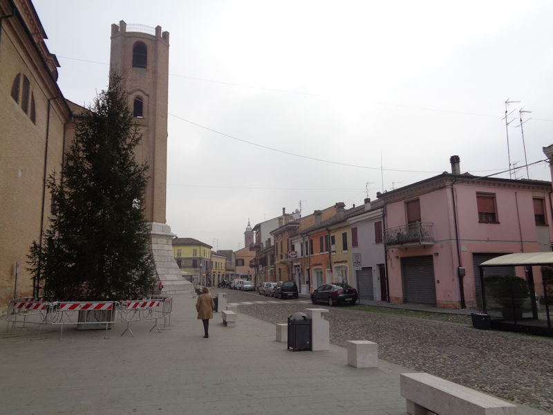
We're advancing down the Piazzetta Ugo Bassi in the zona pedonale.
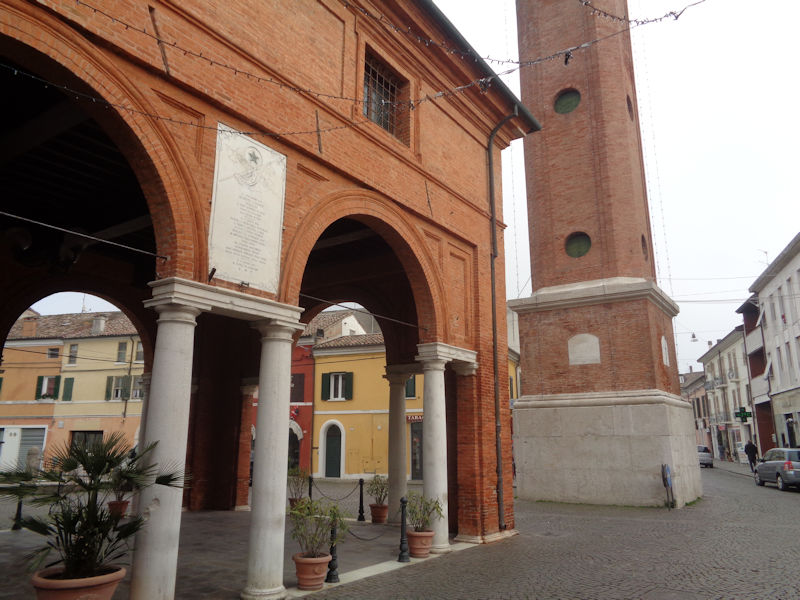
The Torre Civico in the city centre. In the 9th and 10th centuries, Comacchio suffered from the attentions of the Venetians (for the salt) and the Saracen pirates (for the booty) and was acquired from the Pope as the property of the Archbishop of Ravenna. From the 14th century, it was under the authority of the Este family of Ferrara but reverted to the Papal States when the Estes were evicted in 1598, where it remained until joining the new Kingdom of Italy in 1866.
From the Torre Civico, we're looking farther ahead down the Piazza Folegatti and the City Hall or Municipio on the left . . .
. . . and now back in the direction of the cathedral.
The belltower of the Duomo
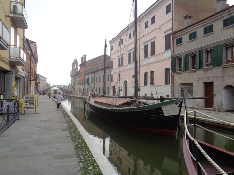
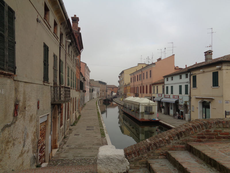
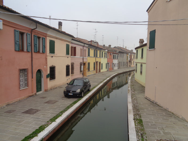
The view to the north along another canal and the Via Cavour . . .
. . . and a stunning view to the south, interesting even in the mist, along the Via Fogli.
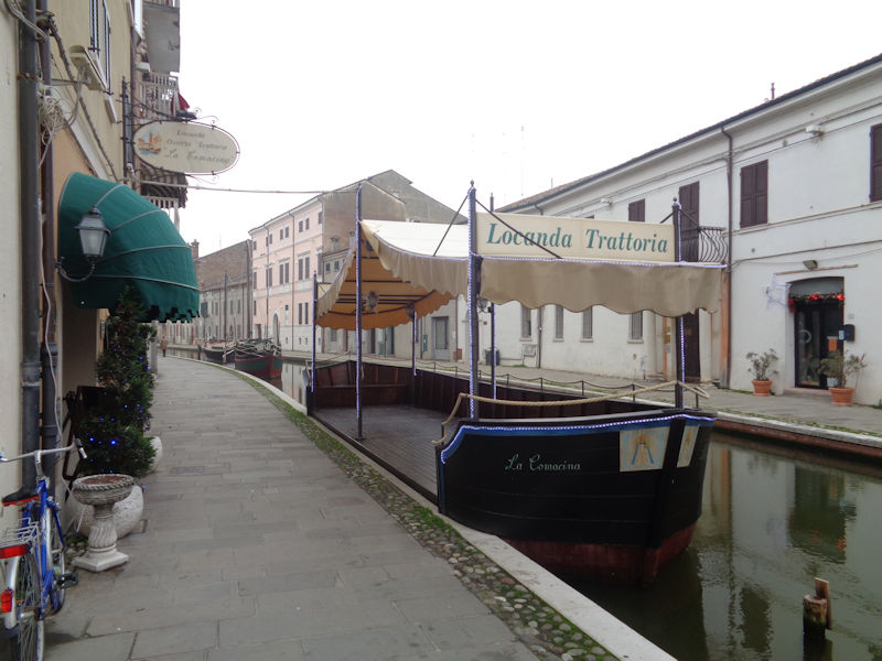
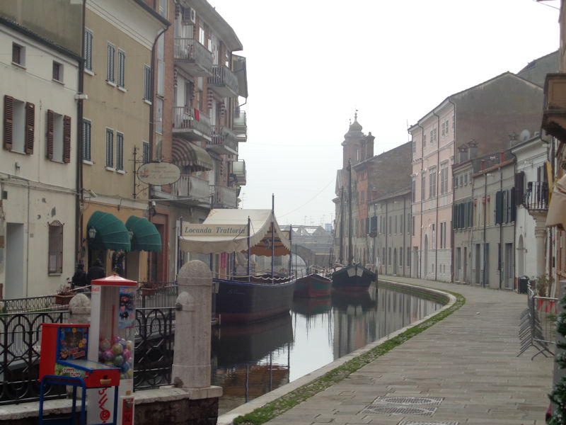
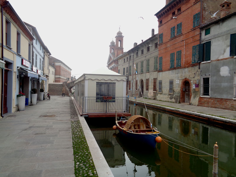
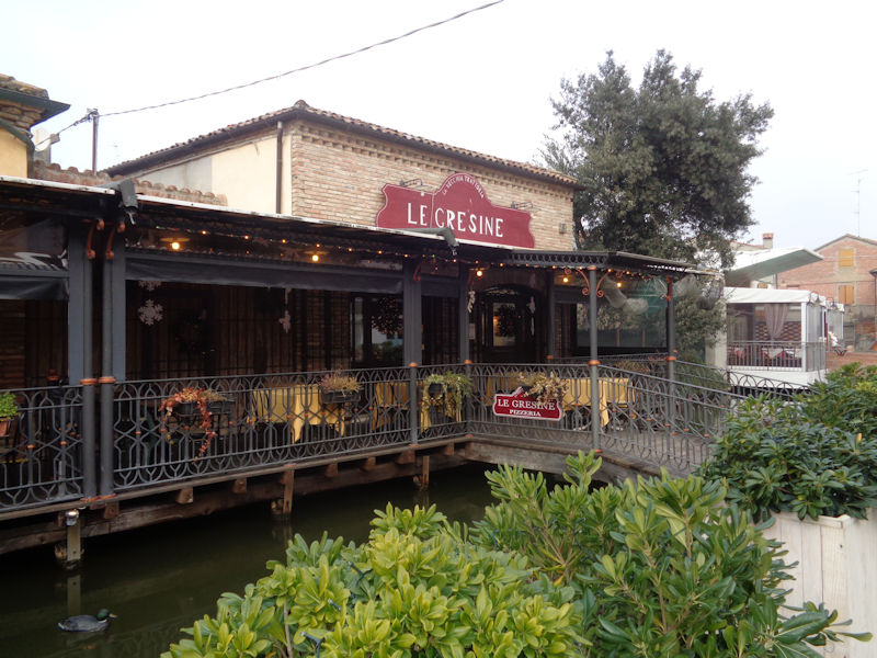
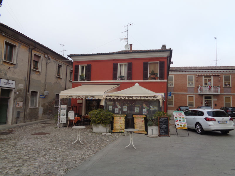
Dining facilities probably less well used in December than in the summer
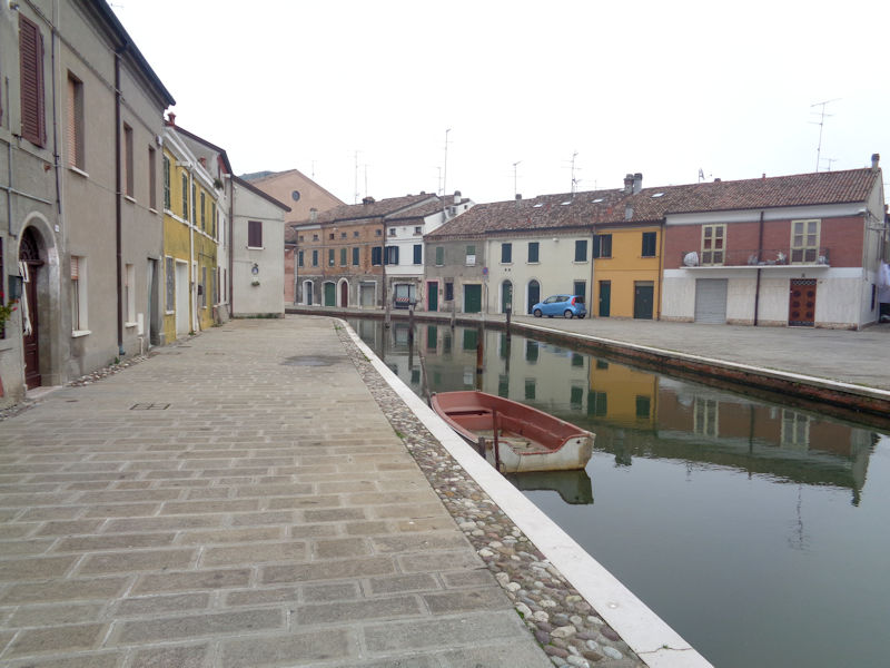
The canal we're investigating leads southward out to the 'Canale Navigabile Miglianino-Porto Garibaldi', which runs from the hinterlands past the city out 7km to the east to the Porto Garibaldi on the coast, a small, reportedly picturesque fishing village and seaside resort, part of the Lidi di Comacchio renamed in 1919 for the landing of Garibaldi and his partner Anita there in August 1849.

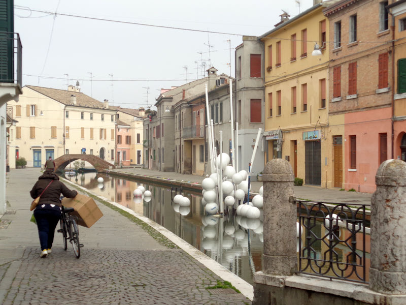
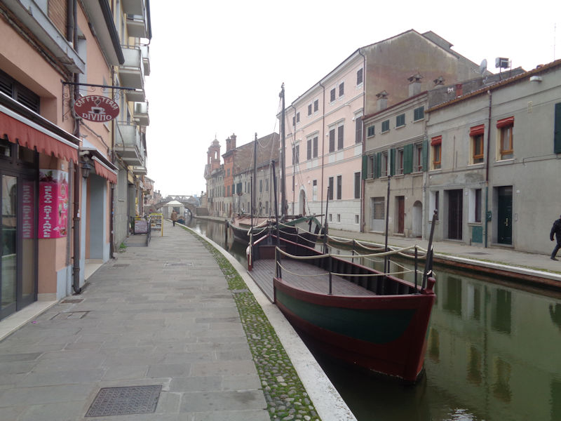
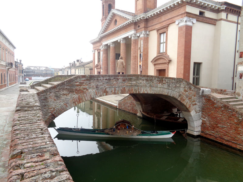
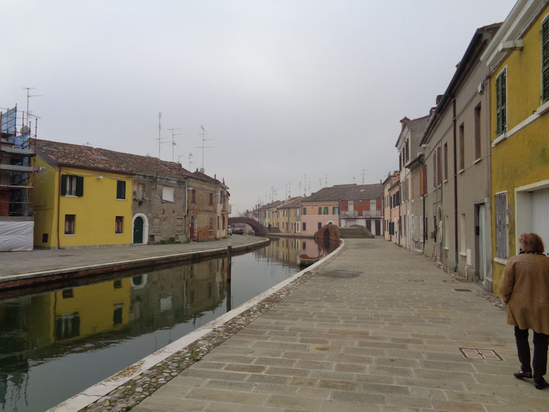
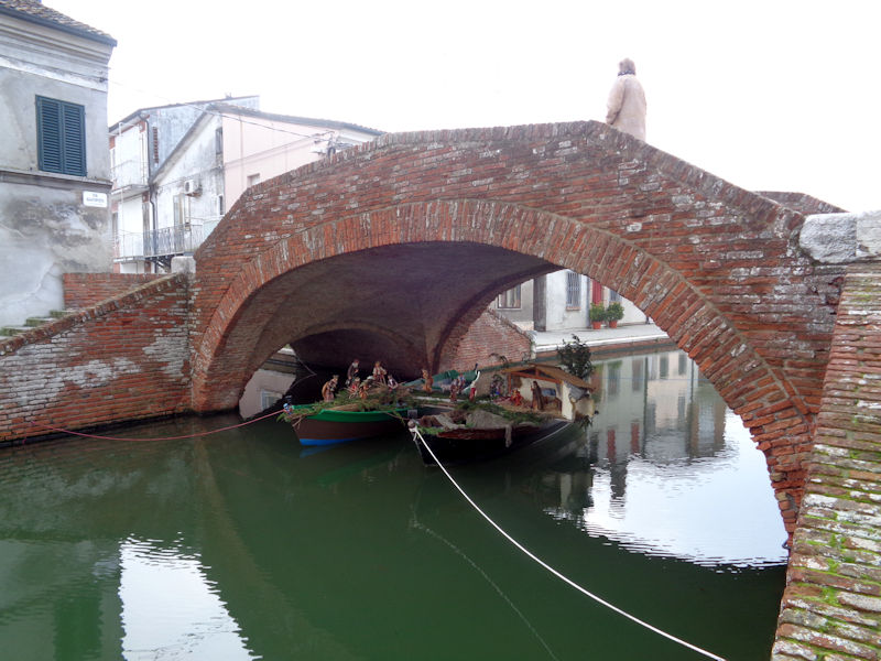
The Ponte degli Sbirri (Policemen's Bridge), still along the canal by the Via E. Fogli. Comacchio is threaded through by canals, and the inhabitants make the most of it with boats here and there and, in the season, water-borne nativity crèches under every bridge.
To our left, the Trepponti di Comacchio -- we'll come back.
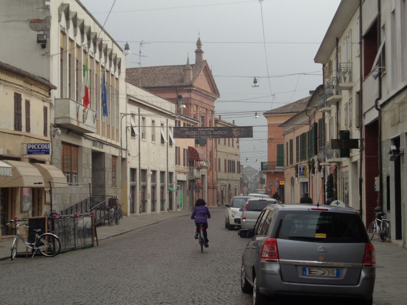
Now we're scurrying over to the Museo del Delta Antico.
A glance back up the canal we've just walked down
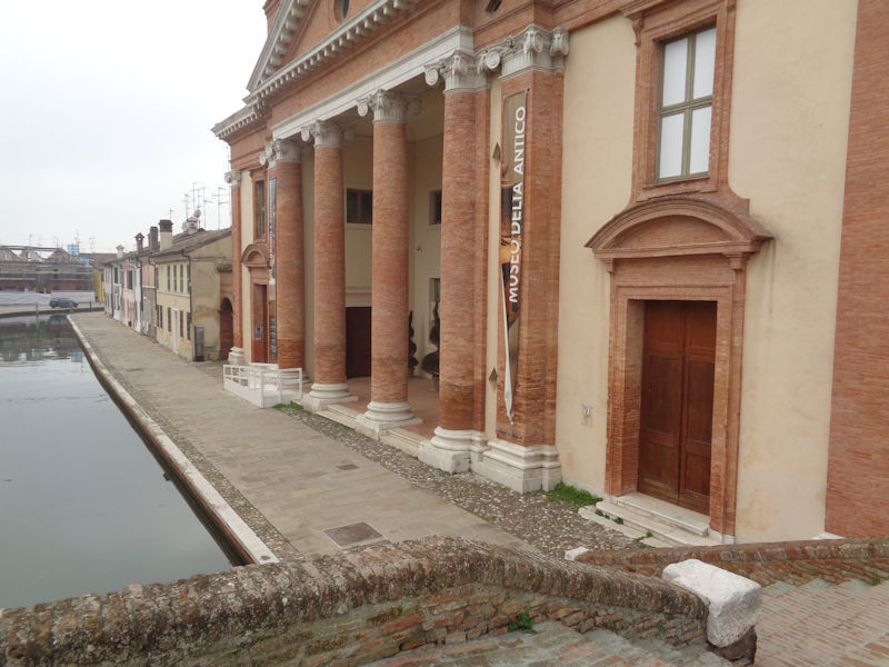
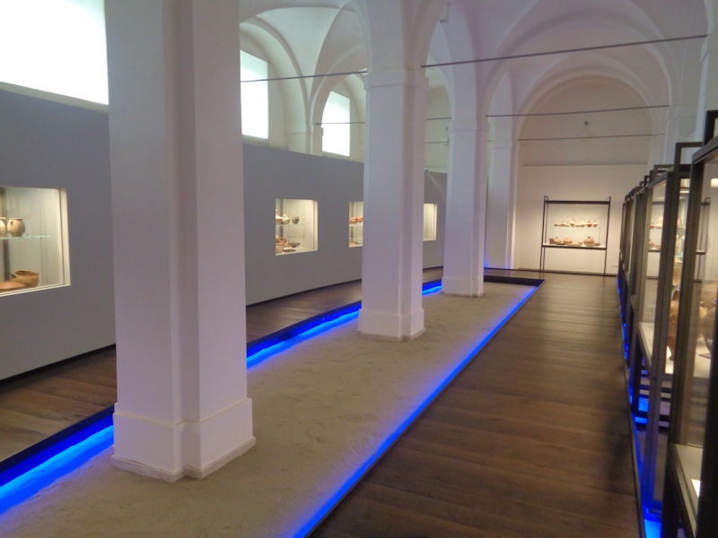
The brilliant Museo Delta Antico inhabits the monumental 18th century hospital (Ospedale degli Infermi), restored 1997-2013 and repurposed into this excellent museum of the ancient history of the Po Delta and its archaeology.
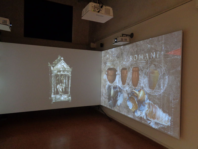
The museum abounds in regional archaeology and helpful explanatory panels in Italian and English, with liberal use of video embellishments.
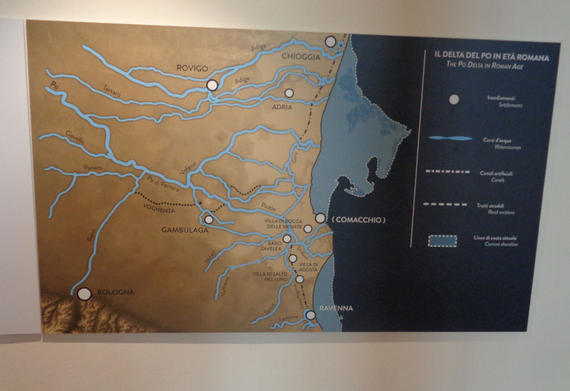
Comacchio was once part of the vast Po Delta, as illustrated here, but at some point the arms of the Po moved north and many of the delta marshes were drained off. Chioggia, at the southern end of the Venice lagoons, can be seen at the top.
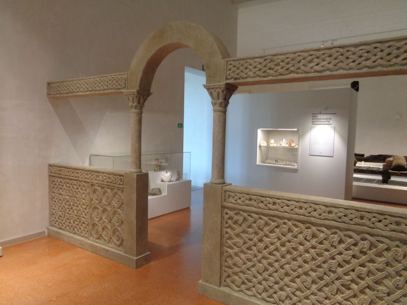
Museum scenes
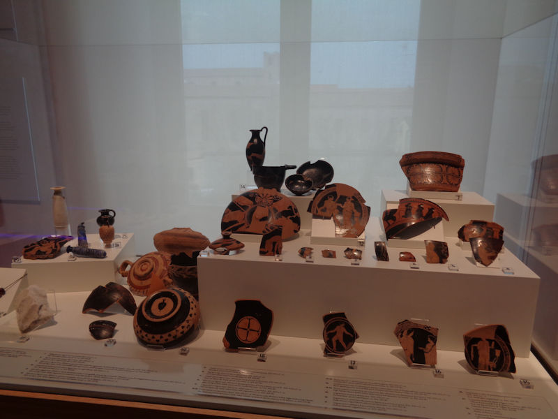
Amphorae, shards, even a thoroughly rusted Roman anchor
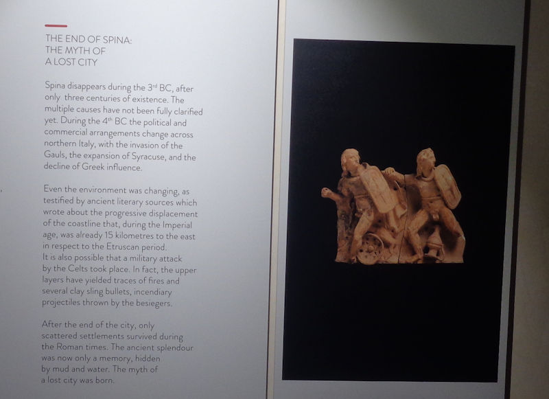
About early Spina on the coast -- the info panel explains it all. It's now represented amongst the Lidi di Comacchio or tourist beaches along the coast as the Lido Spina just south of Porto Garibaldi.
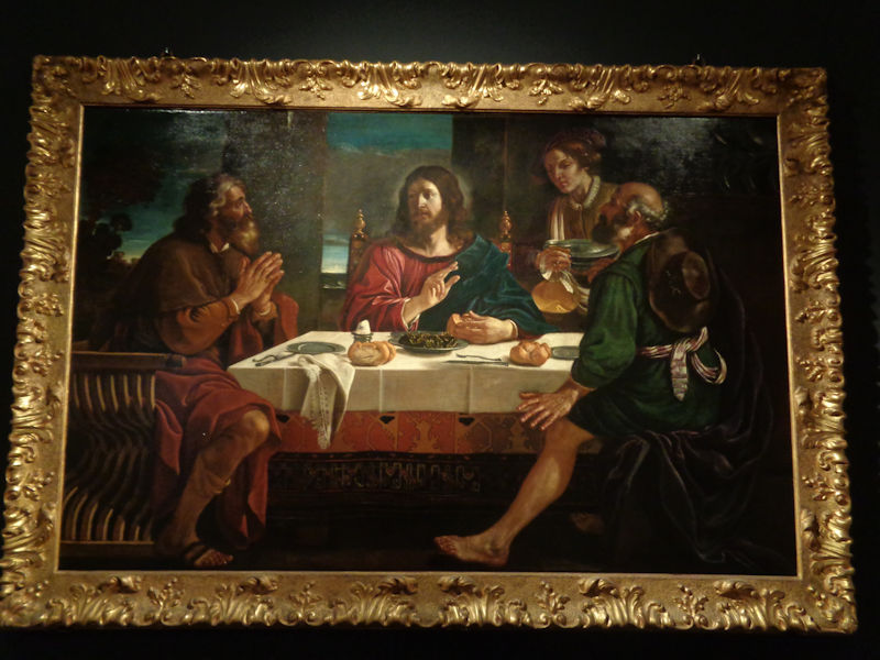
The museum's best painting, in fact it's only one, 'The Supper at Emmaus' by Guercino (G. F. Barbieri, 1591-1666) and his studio
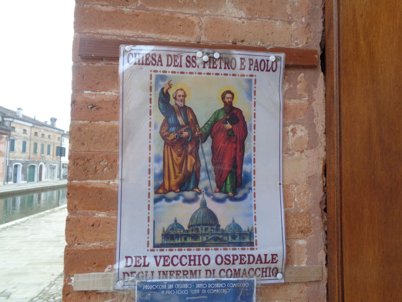
The church of Peter and Paul of the Old Hospital of the Sick
We're continuing along the same canal.
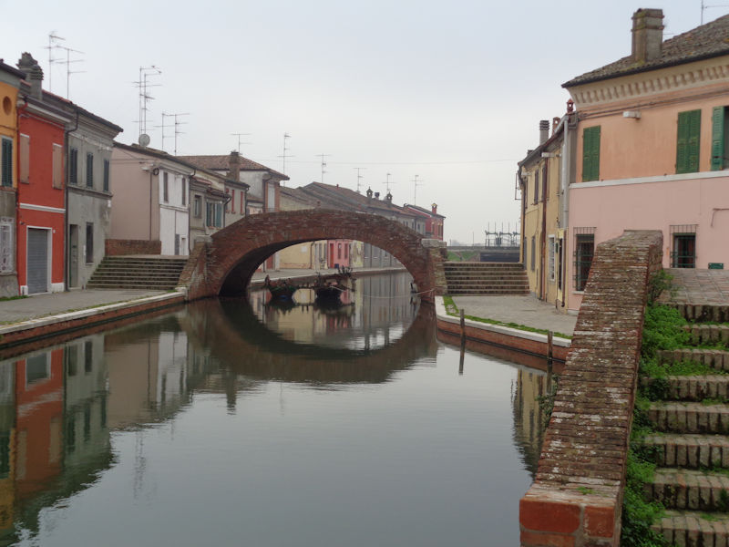
Another bridge, the Ponte dei Sisti
A side street (Via A. Buonafede)
The View from the Bridge
We're strolling up the other side of the same canal, back towards the Museum of the Ancient Delta
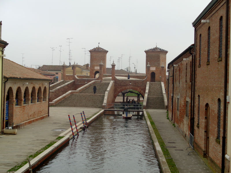
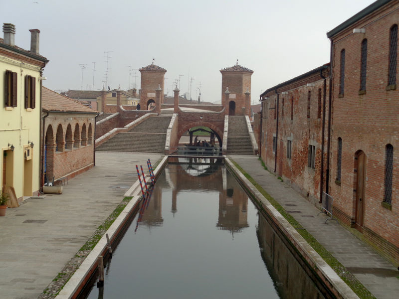
The Trepponti di Comacchio, or triple bridge, over the Pallotta canal, completed in 1638 on the site of the city's fortified gateway on the canal coming up from the sea, but tidied up from time to time afterward. The 18th century 'Old Fish Market' (the Pescheria) is on the left.
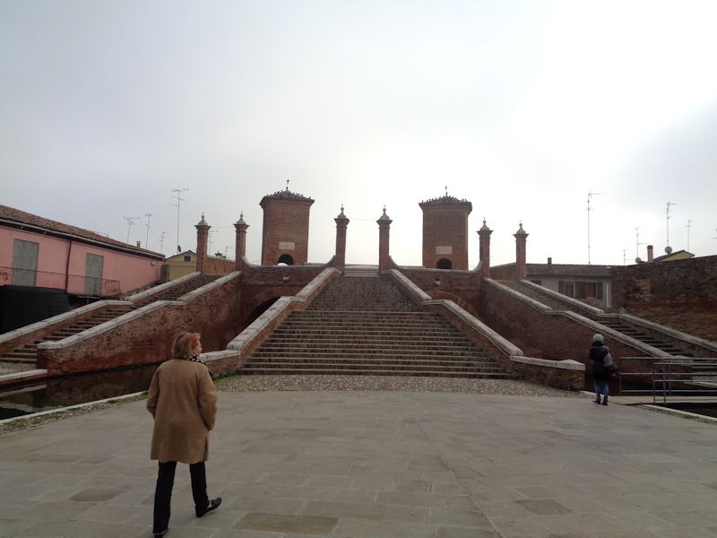
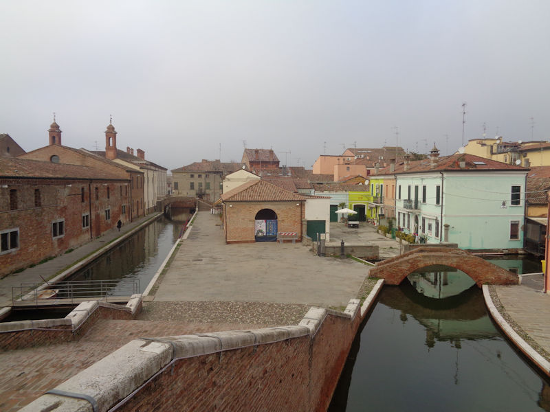
The view from the Ponte dei Trepponti -- four canals radiate out from under the bridge. The Pescheria is in the centre.
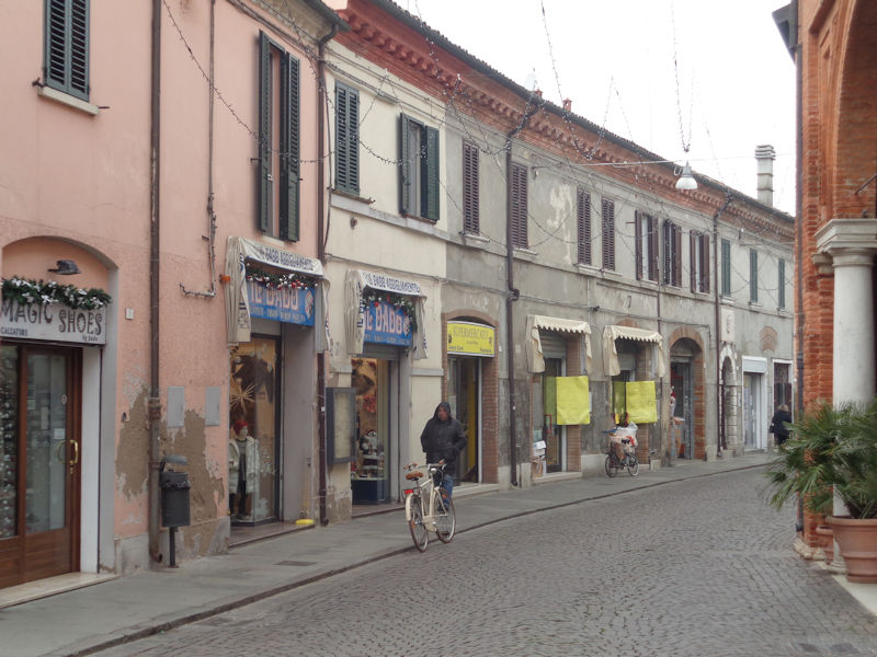
The city of restaurants
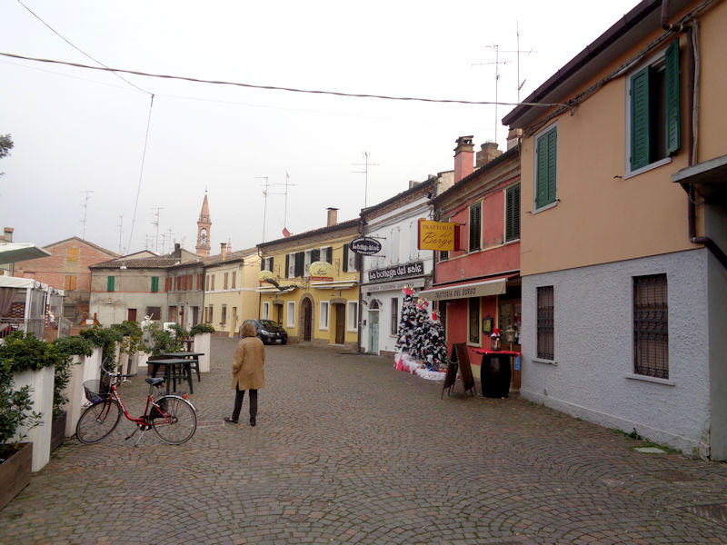
The Via Ludovico Muratori (named for the 18th century historian who discovered the oldest known list of New Testament books)
The Chiesa S. Rosario, built in the 17th century by the Confraternity of the Holy Rosary

There are many more canals to wander along, but we need to get moving: promises to keep before we sleep.
A landmark for finding the car again

Guided by Melvin the Doge, we're taking the SS309 coastal road, and ancient pilgrims' route, southward between the sea on the left and on the right the largest of the Comacchio Lagoons, the largest wetland complex in Italy and the main attraction of the Po Delta Park. The complex is one of Italy's earliest Wetlands of International Importance under the Ramsar Convention on Wetlands; the Annotated Ramsar List entry reads "Valli residue del comprensorio di Comacchio. 04/09/81; Emilia Romagna; 13,500 ha; 44°37'N 012°11'E. Special Protection Area EC Directive. The remnants of an extensive complex of coastal lagoons and marshes drained in 1850 for agriculture. The site includes a shallow, brackish lagoon connected with the sea, sand banks and islands. Vegetation is dominated by salt-tolerant plants. The single most important wetland in Italy for breeding waterbirds, the area is also a valuable staging and wintering area. Birdwatching and conservation education facilities are available. Ramsar site no. 225. Most recent RIS information: 1998."
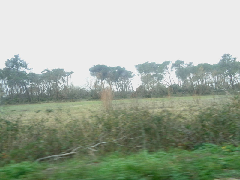
Both sides of the road, however, have very recently been brutalized by a huge storm in mid-December, with masses of pines down in tangled piles for mile after mile. It's a hard thing to photograph from a cute little Volvo at speed.
We've passed Ravenna on the road south, bound for San Marino.

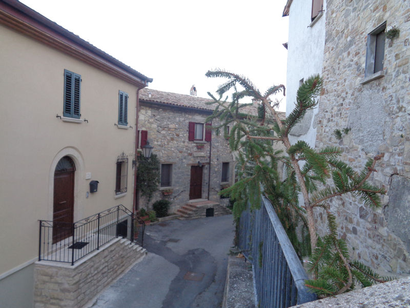
San Marino city sits high on the cliffs but the republic includes nine 'castles' or municipalities, including the biggest ones, Serravalle and Borgo Maggiore. We're to be in Montegiardino, seen here, 3 square kilometres and 900 inhabitants, the most recent addition to the republic, added in 1463.
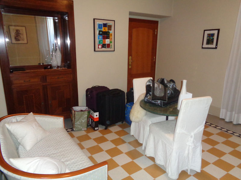
We're in an elegant but inexpensive apartment in the Modà Antica Locanda, in the 17th century Palazzo Mengozzi, which is built into the huge rock upon which the old castle once stood.

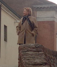
Two of San Marino's famous three towers at dusk
The view from our patio
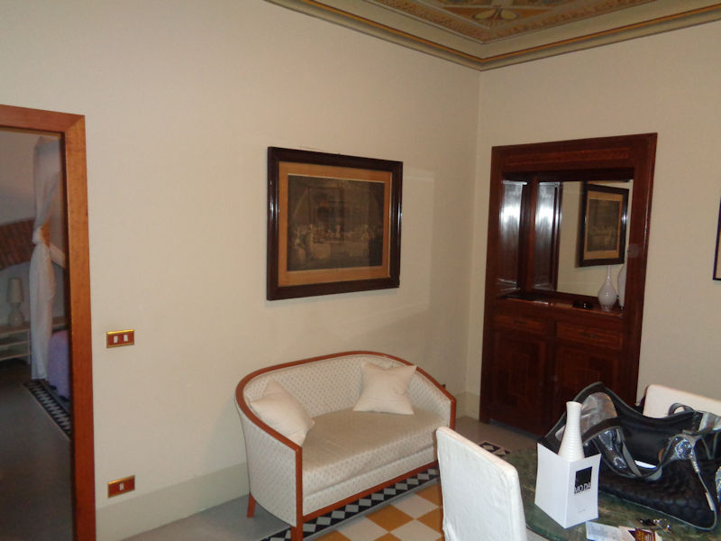
A very comfortable little flat -- the establishment boasts a restaurant, but it was closed for the holiday period or whole season. Good restaurants are available ten minutes up the hill in the 'castello' of Fiorentino.
Tomorrow: First views of uptown San Marino

 Dwight Peck's personal website


