You may not find this terribly rewarding unless you're included here, so this is a good time for casual and random browsers to turn back before they get too caught up in the sweep and majesty of the proceedings and can't let go.

An uncooperative Melvin the Doge in Longiano, 22 December 2017
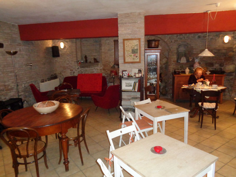
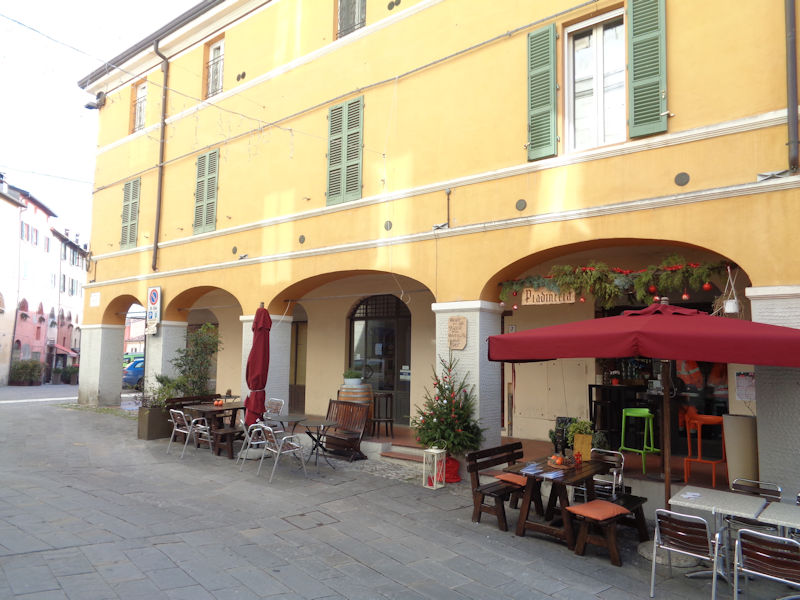
Intent upon our breakfast at the Corte dei Turchi in Longiano
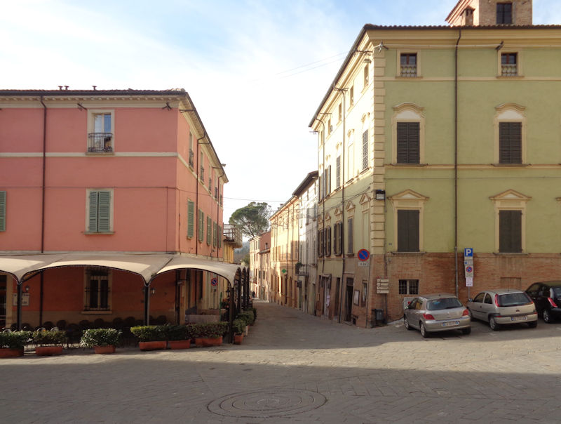
Brisighella

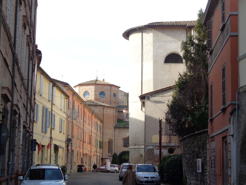
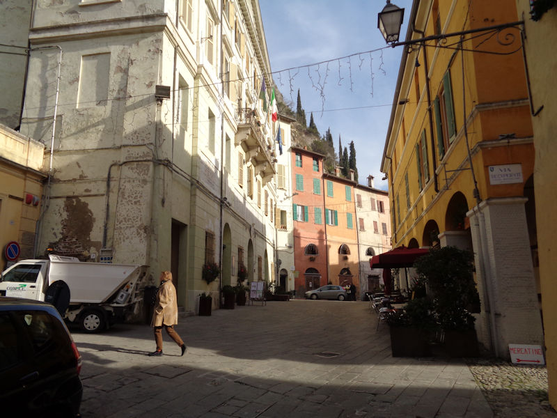
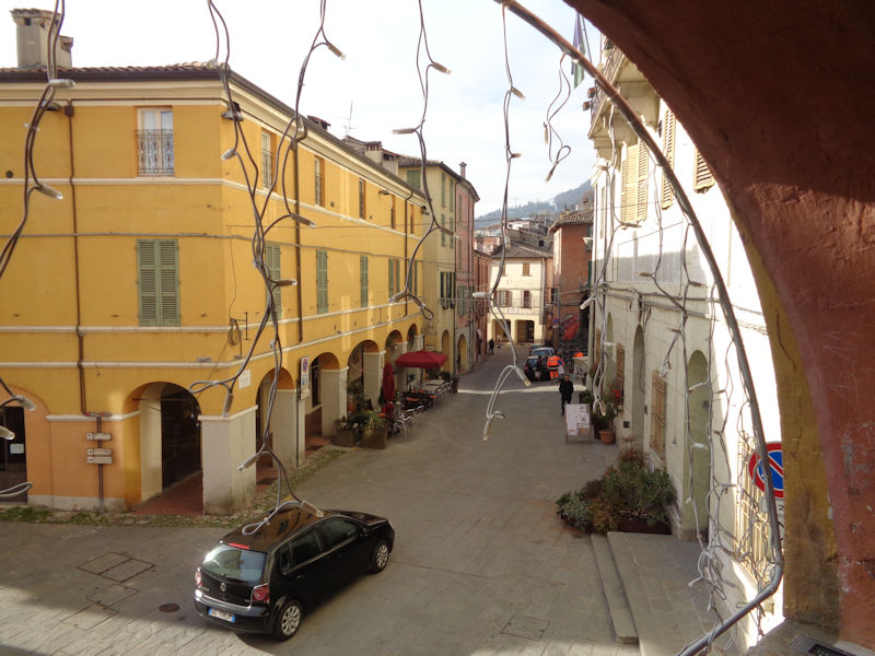
We've been along the autostrada from Cesena to the Faenza exit, bypassed Faenza (which was probably a mistake), and are presently parking the car in the little borgo of Brisighella.
Brisighella, current population about 8,000, is a called 'the town of three hills' -- the region, known as the Vena del Gesso Romagnola or Chalk/Gypsum Vein, saw exploitation from prehistoric and Roman times, and in the Middle Ages small fortifications were put up to protect the working sites of extraction. Evidently this gypsum is valuable for the making of cement, fertilizer, plaster, beer, and (more recently) tofu and shampoo.

The Via Fossa leading to the central square. On one of the three gypsum hills above the town, a 13th century condottiere called Maghinardo Pagani, who was seignior of the nearby towns of Faenza and Imola, began a fortification, as early as 1228 (according to Wikipedia) -- this was later expanded, in 1310, by Francesco I Manfredi, who inherited the lordship of Brisighella and subsequently became Lord of Faenza in 1319 (which the Manfredis held onto until Cesare Borgia took over forcibly in 1501).
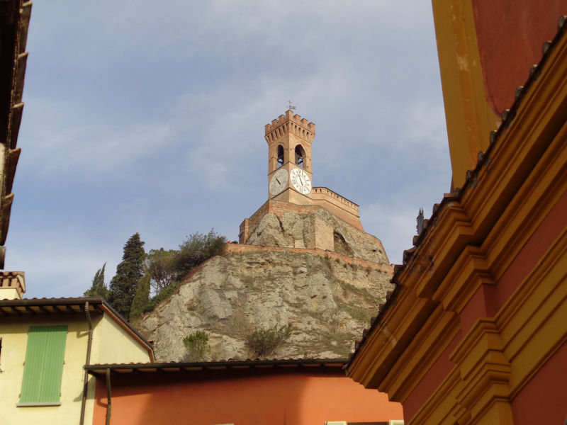
The Clocktower on another of the Tre Colli was originally a watchtower associated with the early rocca or fortress, dating from 1290, but was converted with repairs and a couple of big clocks in about 1850.
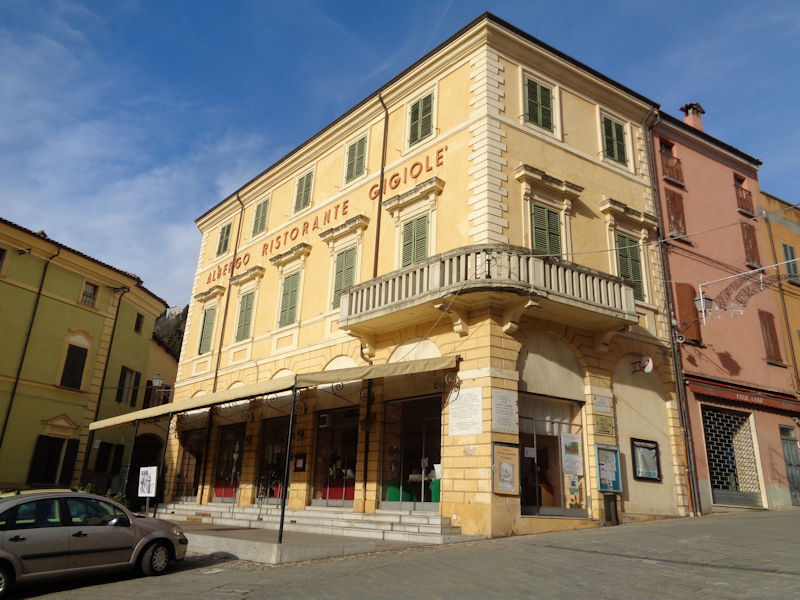
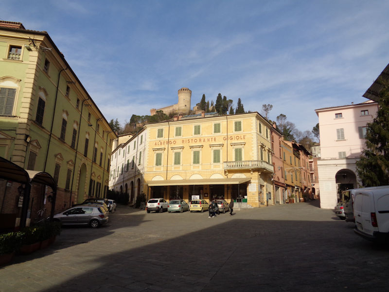
The albergo in the central Piazza Carducci. As commonly elsewhere, the presence of the castello brought about the growth of a borgo, or associated village, roundabout it to service and benefit from the garrison's requirements.
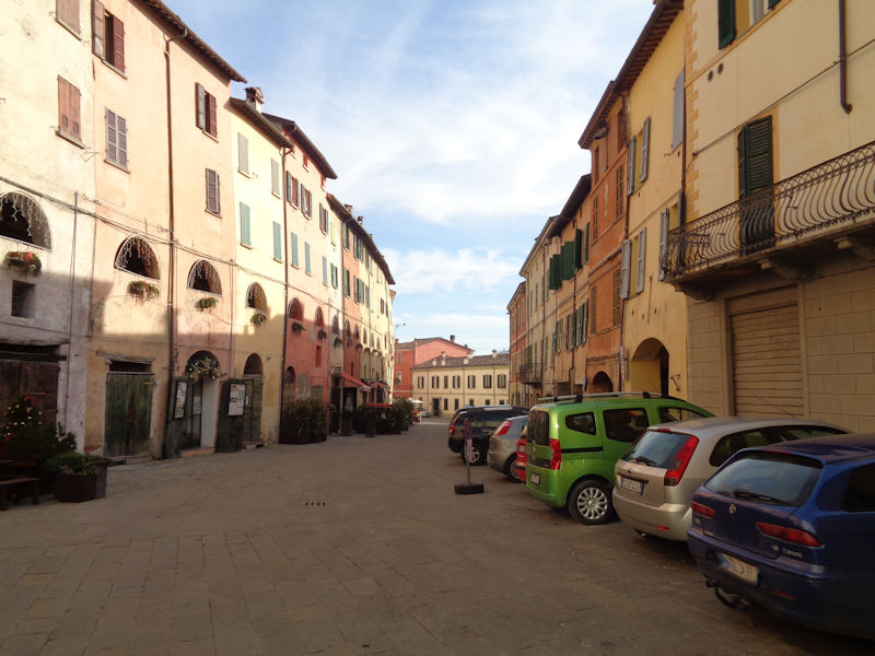
From the piazza, looking southwards down the Via Baccarini towards the river Lamone

The Chiesa Parrocchiale San Michele -- Matters are not at all clear, but it appears that there was a church here for the Community of St Michael the Archangel 'in Gesso' (gypsum) mentioned in 1301 and again in about 1400. But the sign in the church indicates that this building was constructed between 1659 and 1697 and consecrated in 1738.

The main altar in a raised chancel
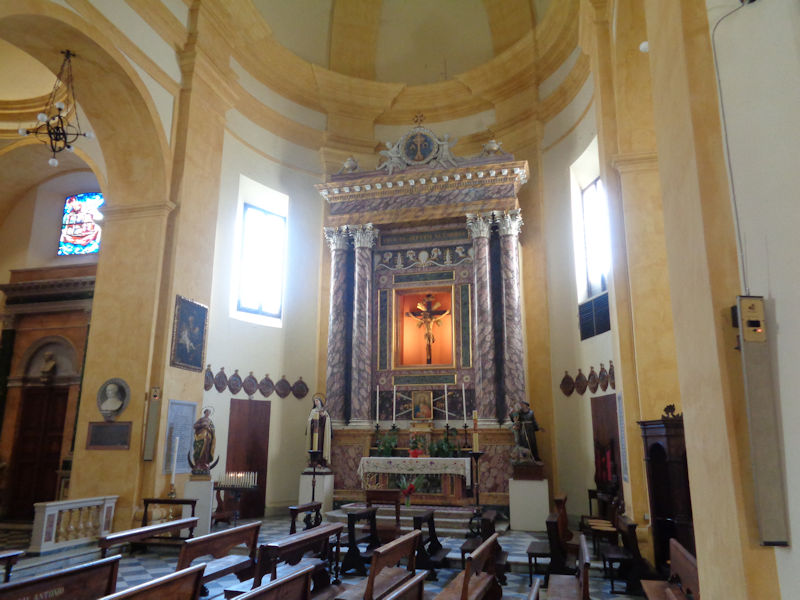
One of several side chapels. Time for a breath of fresh air . . .
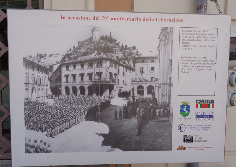
All of the 'Brisighellesi' turned out to welcome one of the ceremonies associated with the liberation of the towns along the Germans' defensive Gothic Line -- the major battle seems to have been fought by the British 8th Army in a snowy February 1945. The Maiella Brigade, a unit of which is here being demobilized, is described as the first and most important anti-German partisan force, often cooperating with British troops.
Not that much has changed in the scene.

Up the Via Porta Fiorentina by the Albergo La Rocca
Street scene: the piadineria on the Vicolo Saletti
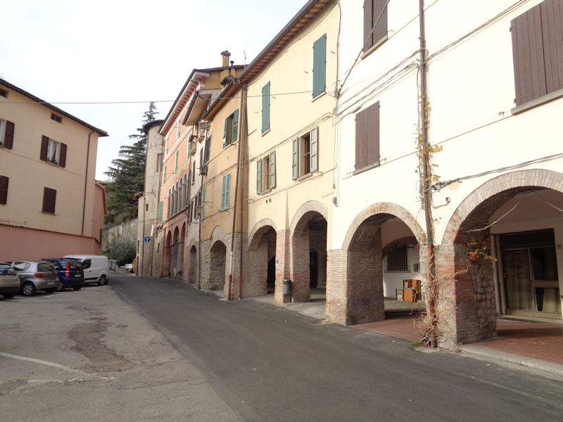
Up the street to the town hall, on the Vicolo Saletti. Note the colorful buildings in the background.

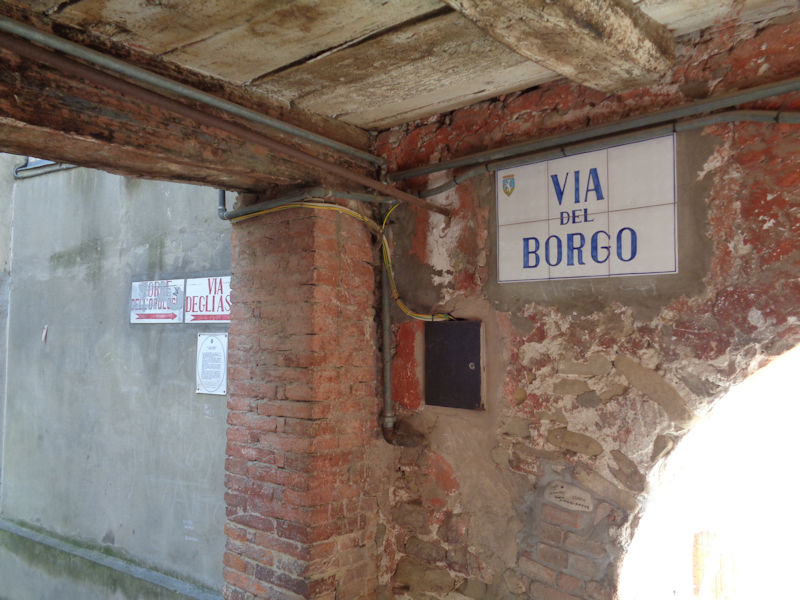
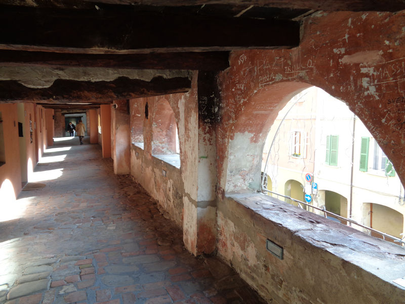
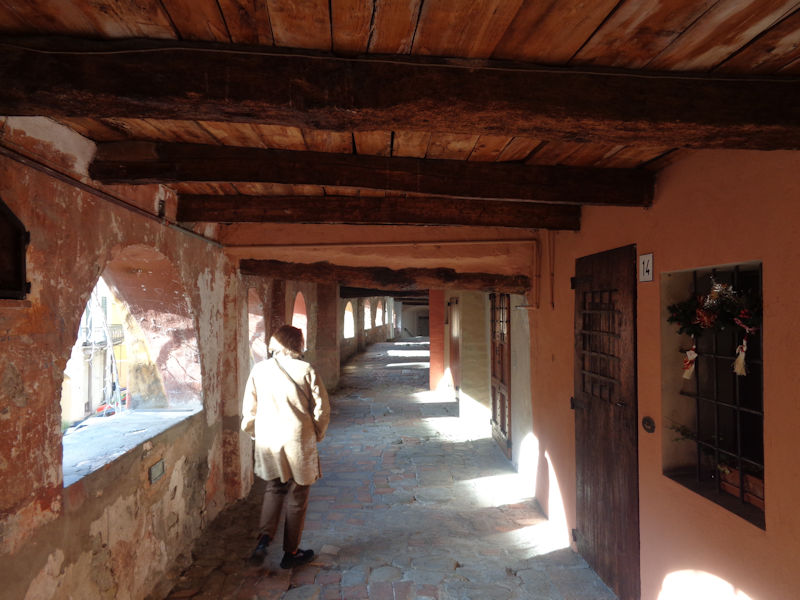
This is one of the most remarkable things about Brisighella -- it's called the Via del Borgo, or more colorfully, the Via degli Asini, the Street of Donkeys.
It's up behind that row of lunette-style arches and continues for nearly 100 meters along the street, which here is called the Piazza Guglielmo Marconi (named for the inventor of long-distance radio tranmission and friend of Mussolini).

The Via del Borgo from the other end of the Piazza Marconi, in the Piazzetta Porta Gabolo, in front of the Museo Civico Giuseppe Ugonia.
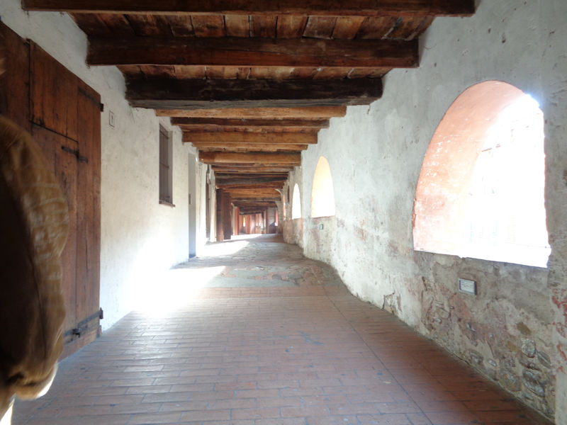
The Via del Borgo. Back up the stair at the near end, this is the fascinating Via del Borgo. Probably built in the 14th century, the elevated street united a town gate at either end. Originally it was part of the town's defenses -- in fact, the information sheet below claims that 'Historically, from these arches the Brisighellesi in 1467 prevented the troops of the Duke of Urbino, Federico da Montefeltro, from penetrating the town after they had defeated the ranks of Astorgio II Manfredi in Rontana' (rough translation). [Astorgio (1412-1468) is more commonly written Astorre; Rontana was a nearby castle, 2km to the west.]
As the town's defensive requirements relaxed under papal government, the passage was covered and used to transport the gypsum chalk mined from the hillside to storerooms along the row. The donkeys bearing the loads schlepped along the passage, deposited their cargo in the storerooms on this level, and inhabited their stables down on the street level; thus the name Via degli Asini.
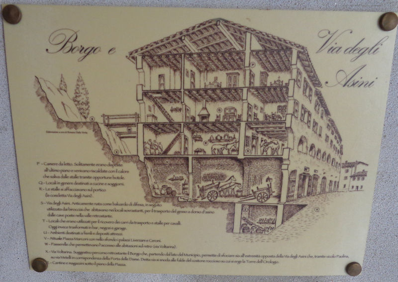
The workers had their accommodations on the upper floors.
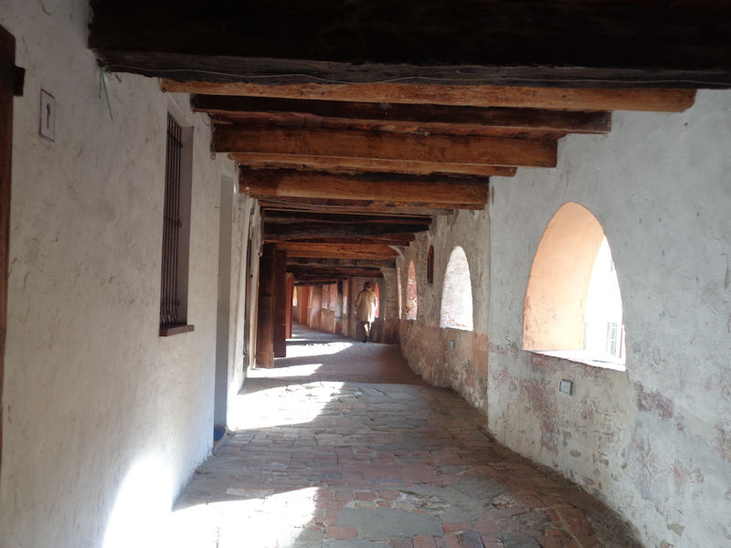
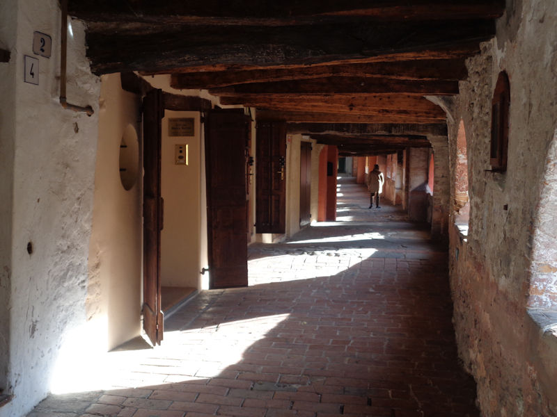
The rooms along the passage have been made into apartments and . . .
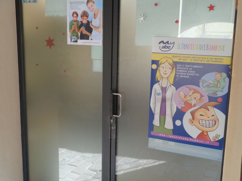
. . . at least one dentist's office.
Mind your head.
At the end of the Via del Borgo, looking down at the back end of the 19th century Palazzo della Pretura, restored in 1981 and since 1994 the home of the Museo Civico Giuseppe Ugonia, a museum of the works of the local painter and lithographer of that name (1881-1944).
Very neat
The view from the arches down the Vicolo Saletti, the city hall on the right.

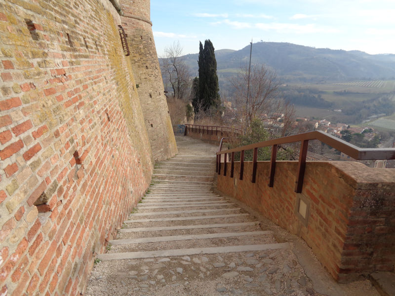
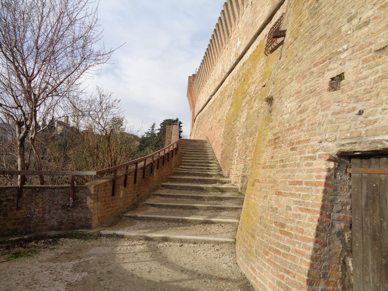
We'd really like to visit the Rocca Manfrediana or Rocca di Brisighella. It's up the hill. Here's a stairway, going uphill. So we're off.
Stairway scene

The Clocktower as we pause in our ascent to breathe
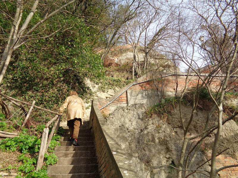
We recall that, as we started up the stairway, we didn't notice any signs for the Rocca. It's not easy to imagine crowds of summer tourists coming up this way.

The photogenic clocktower again. It appears that we may be on some neglected backdoor path to the fortress.


Happily, we have recently joined a much more civilized path, and are now about to join an actual road up from the village.

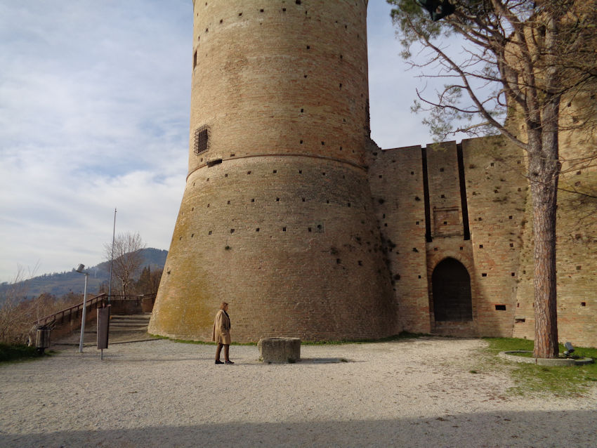
The Rocca Manfrediana
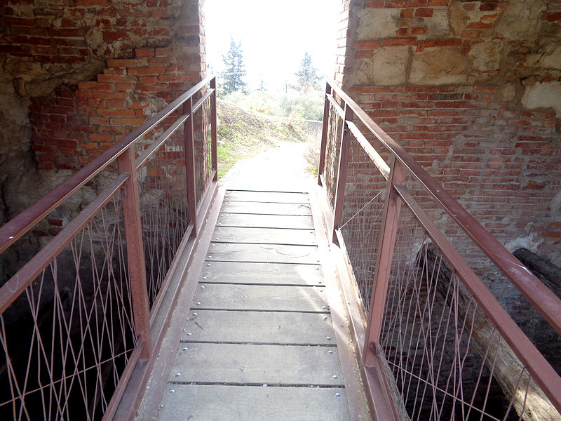
Just below the fortress, we pass over a bridge in part of the old gypsum mining operation.
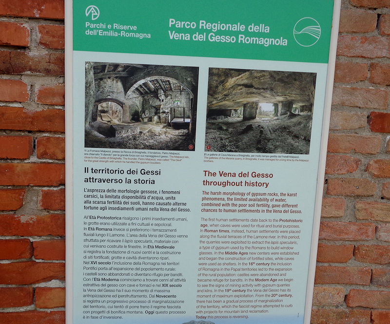
The Vena del Gesso, or Gypsum Vein
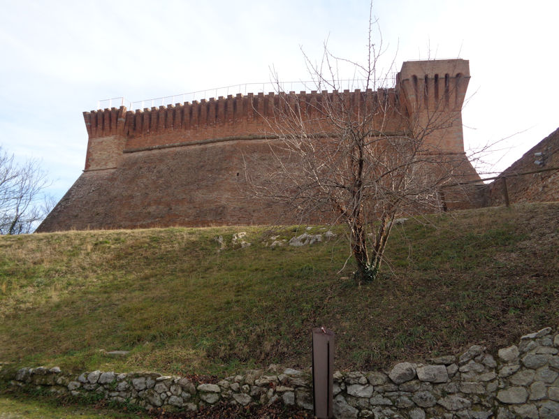
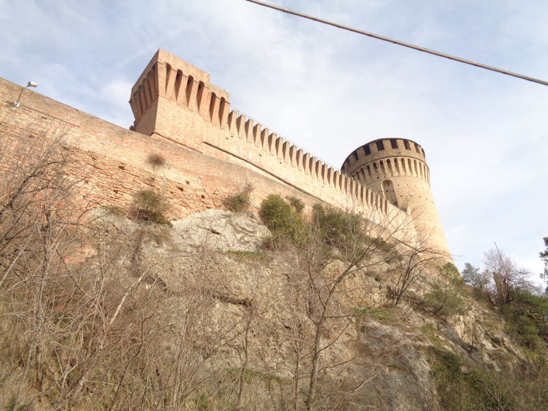
The back end of the Rocca di Brisighella, from the hilltop carpark (to which we could have driven)
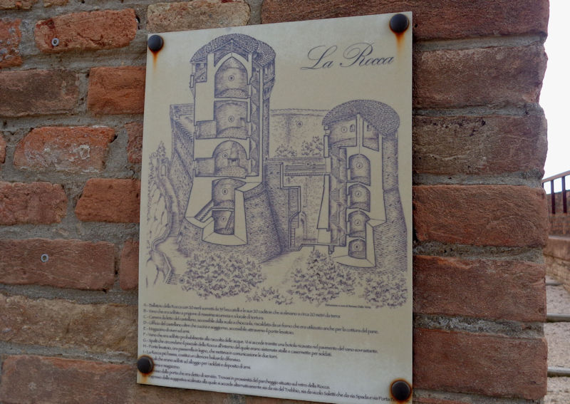
The fortress consists of two towers, as shown here, backed by a largish walled courtyard. There may have been other buildings inside that, back in the day, but this was never a residential facility. There would have been only a castellan (usually forbidden to leave his castle during the term of his contract) and a small garrison.
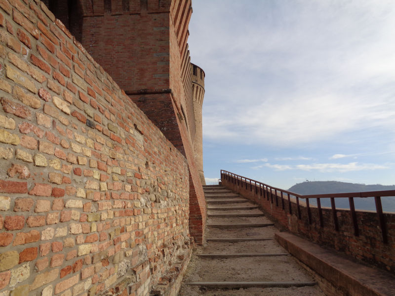
The approach to the front gate
They weren't trying to make the approach easy for uninvited guests.

On the third of the Three Hills, or Tre Colli, with the zoom lens on, that is the 18th century Sanctuary of Monticino.
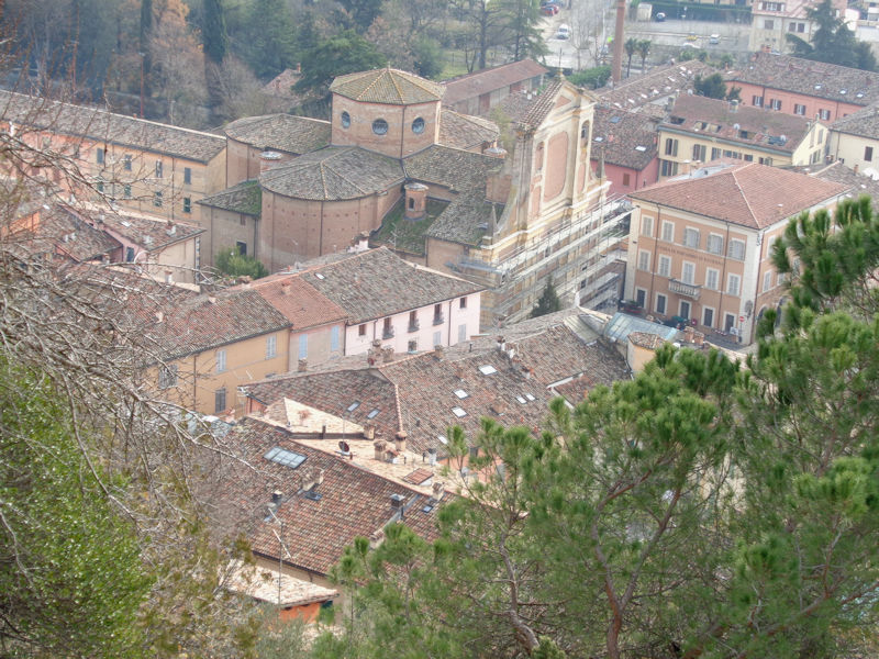
Downtown Brisighella from the castle

The Clocktower 200 metres over the way
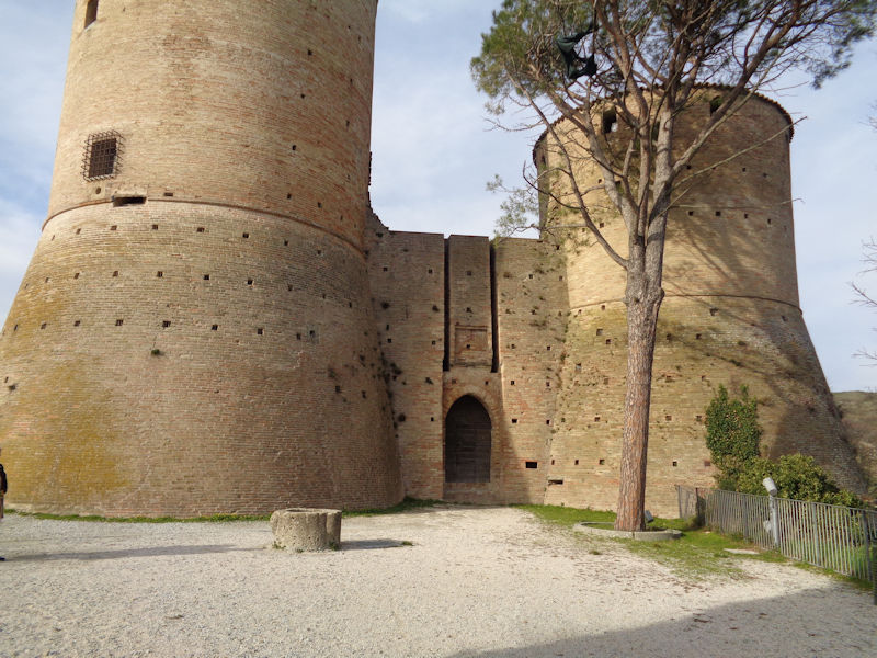
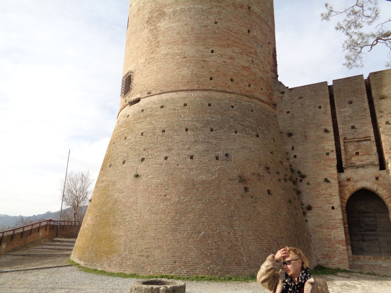
The Rocca or Fortress Manfrediana, built over a 13th century original in 1310 by Francesco I Manfredi, Signore of Faenza. It was taken in 1501 by forces of Cesare Borgia, trying to stake out his own Duchy of Romagna from cities that were papal fiefs of his uncle Alexander VI's papacy, but when he was arrested by the Spanish in Naples in 1503 the Venetians moved in. It was they who built or heightened the larger tower, the castle keep or maschio, sometimes still called the Torrione Veneziano.

In 1509 Francesco della Rovere recovered the castle from the Venetians in the name of Pope Julius II, and Brisighella and the entire valley of the Lamone were returned to the papal state.
The famous Rocca di Manfrediana is, however, closed. Locked up tight. Including its little Museum of Peasant Work inside it. It's not just our bad luck -- apparently it's only open for a few hours on Tuesdays and Saturdays.
It's very deflating -- and we've come all this way.
After a few minutes of trying to break in, or sneak in somehow, unsuccessfully, we take our leave.
In our out-of-season travels we've seen far more closed-up castles than open and welcoming ones.

Descending by the correct path this time.

Back into the village
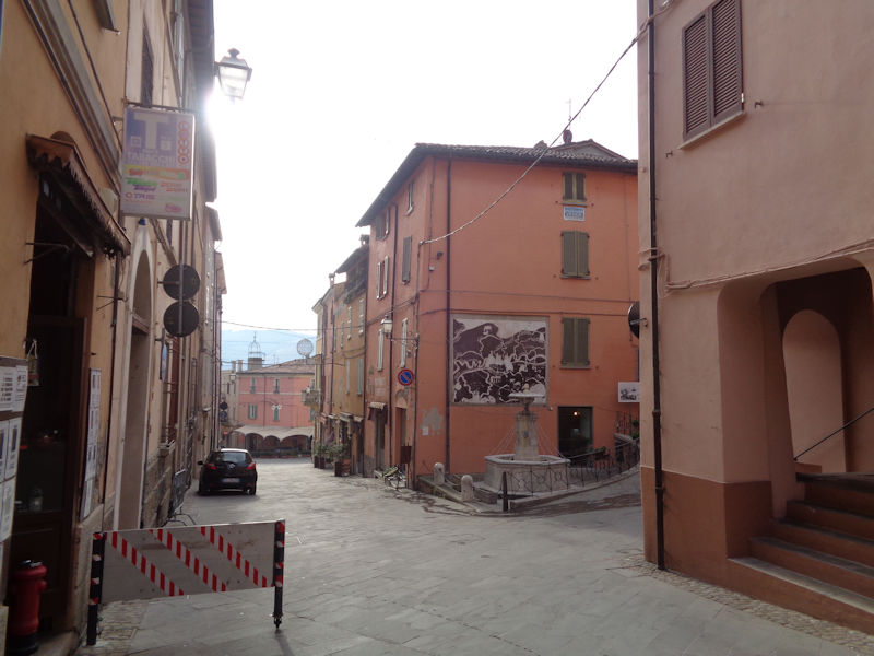
Back onto the Via Porta Fiorentina; that is the Fontana Vecchia, built in 1490. Perhaps the street name recalls a Florence Gate on the south side of town; that is the SP302 road which continues southward over the mountains only 65km to the Tuscan city of Firenze or Florence.
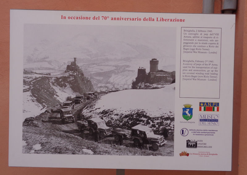
A photo of the British 8th Army hauling itself up a road between the Rocca and the Clocktower in February 1945.
The Via delle Volte, which leads west a ways and then up to the Rocca. Had we but known.

Stocked up with Italian food items unavailable anywhere else in the world, perhaps.
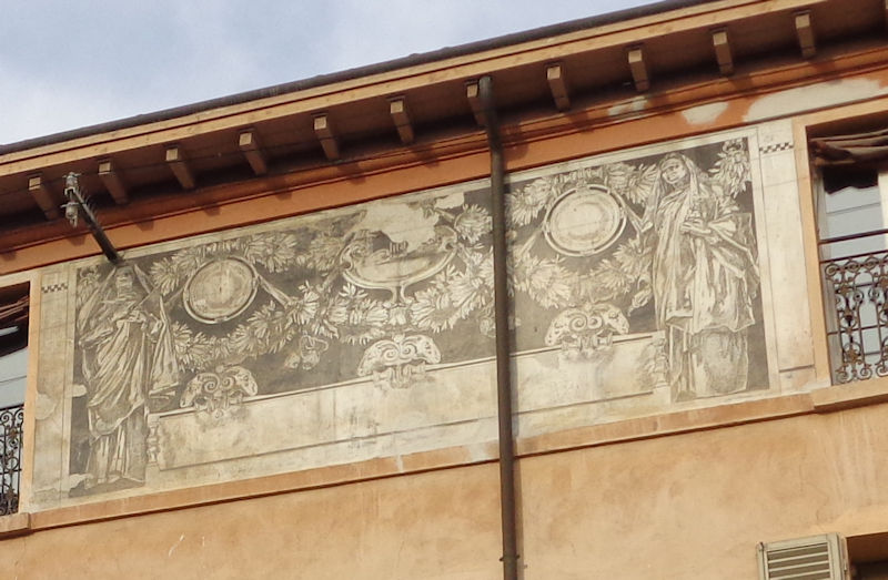
House decorations
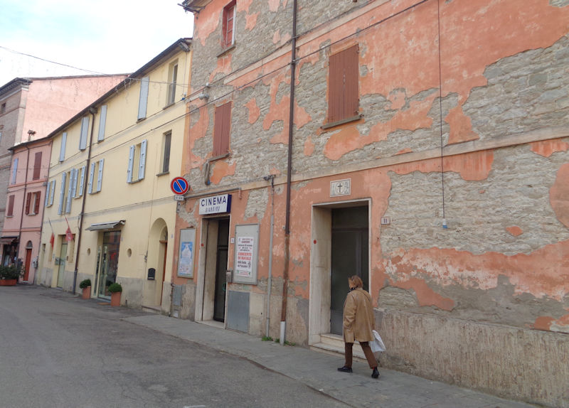
Passing the cinema
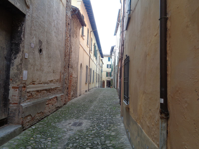
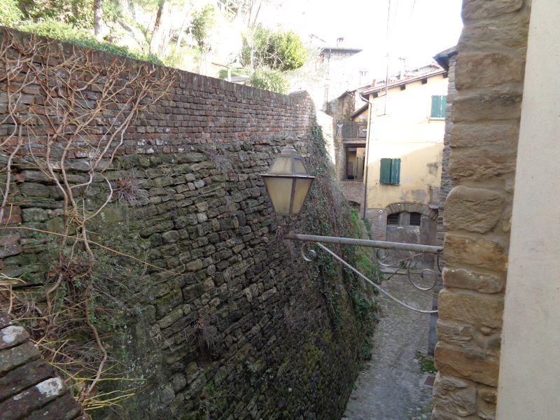
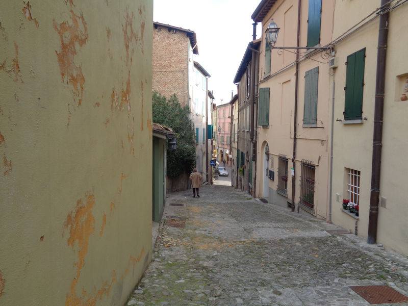
A back alley

A last view of Brisighella

Next: A hasty look-in at Forlimpopoli and Bertinoro

 Dwight Peck's personal website


