Dwight Peck's nostalgia gallery

Camping at Seron, 1983

Let's go!

Seron lies at 1813m near a col at 1880m that presides over the head of two separate valleys leading up from the village of L'Etivaz to the north. To the west one finds the Col des Mosses and to the east, Gsteig, near Gstaad; to the south lies a range of mountains -- Pic Chaussy, Châtillon, Le Tarent, La Para or Tournette, and Cape au Moine -- beyond which one comes to the town of Les Diablerets.

snowcave9.jpg (21084 bytes)

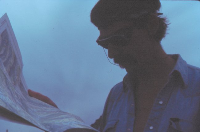
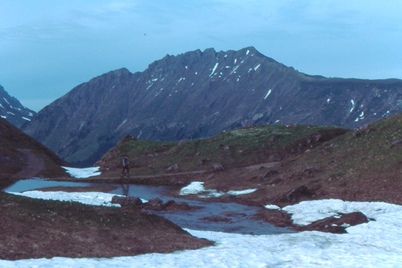
On a bleak sort of early evening in May 1983, the narrator tries to figure all these directions out on his soggy map . . .

colfamelon2.jpg (25687 bytes)

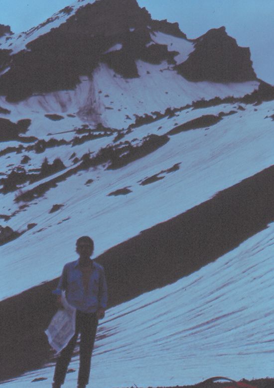
. . . and finds that this is Seron after all. Our camping destination.

colfamelon1.jpg (21588 bytes)

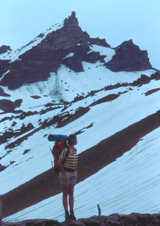
Our hiking companion, below Cape au Moine, is doubtful.

colfamelon3.jpg (19243 bytes)

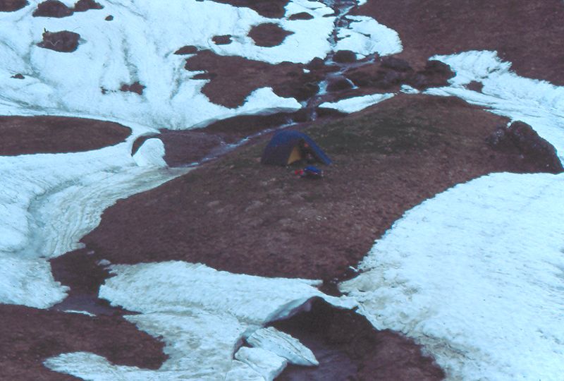
Tent and hiking companion in early evening on a little island formed by the creek

colfamelon4.jpg (21475 bytes)

The narrator returning to camp from a look-round on a foggy evening . . .

colfamelon5.jpg (22391 bytes)

. . . and departing the next day in similarly cheery weather.

colfamelon6.jpg (27699 bytes)

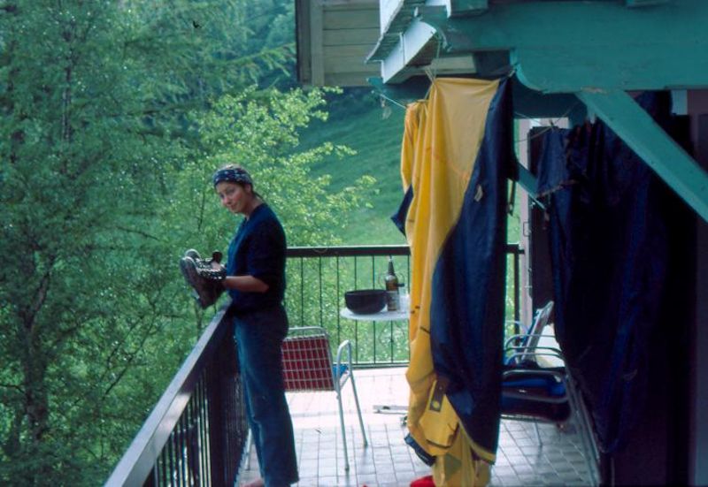
And later at home in Leysin, cleaning up the tent and things.


Feedback and suggestions are welcome if positive, resented if negative, . All rights reserved, all wrongs avenged. Posted 13 August 2002, revised 27 August 2014.


Some of our favorites (recommended)